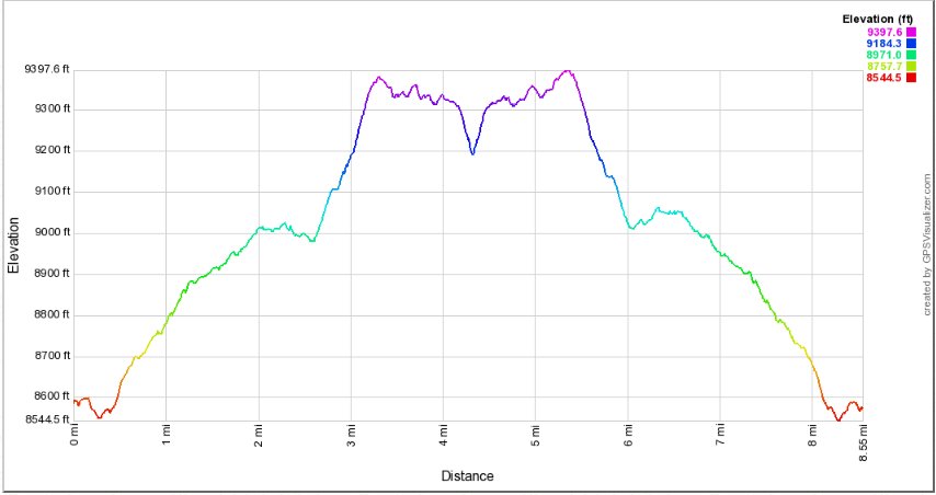
Distance: 8.5 Miles
Vertical Gain: 800'
Group Size: 3
Hike Rating: Easy Moderate Hard Strenuous
 See
video of hike
 GPX
for
this trip
| Start Coordinates: | N 38 41.697 W 119 59.363 | End Coordinates: | Same as Start Coordinates | ||
| Car Shuttle Req'd: | No | Parking Directions: | Take Highway 88 to the parking area at the Carson Pass ranger station on the west side of the road. Pay the day use fee (summer only) and find the trailhead just to the right side (north) of the ranger station itself. | ||
| Hazards of Note: | Be aware of very changeable
weather in this area during any season. Prepare for various
temperatures and rain. |
Crowd Factor: | Significant. This is a very popular summer and winter trail, with many snowshoers during the winter and even more day hikers looking to enjoy the lakes and wildflowers abundant on this hike for most of the summertime. | ||
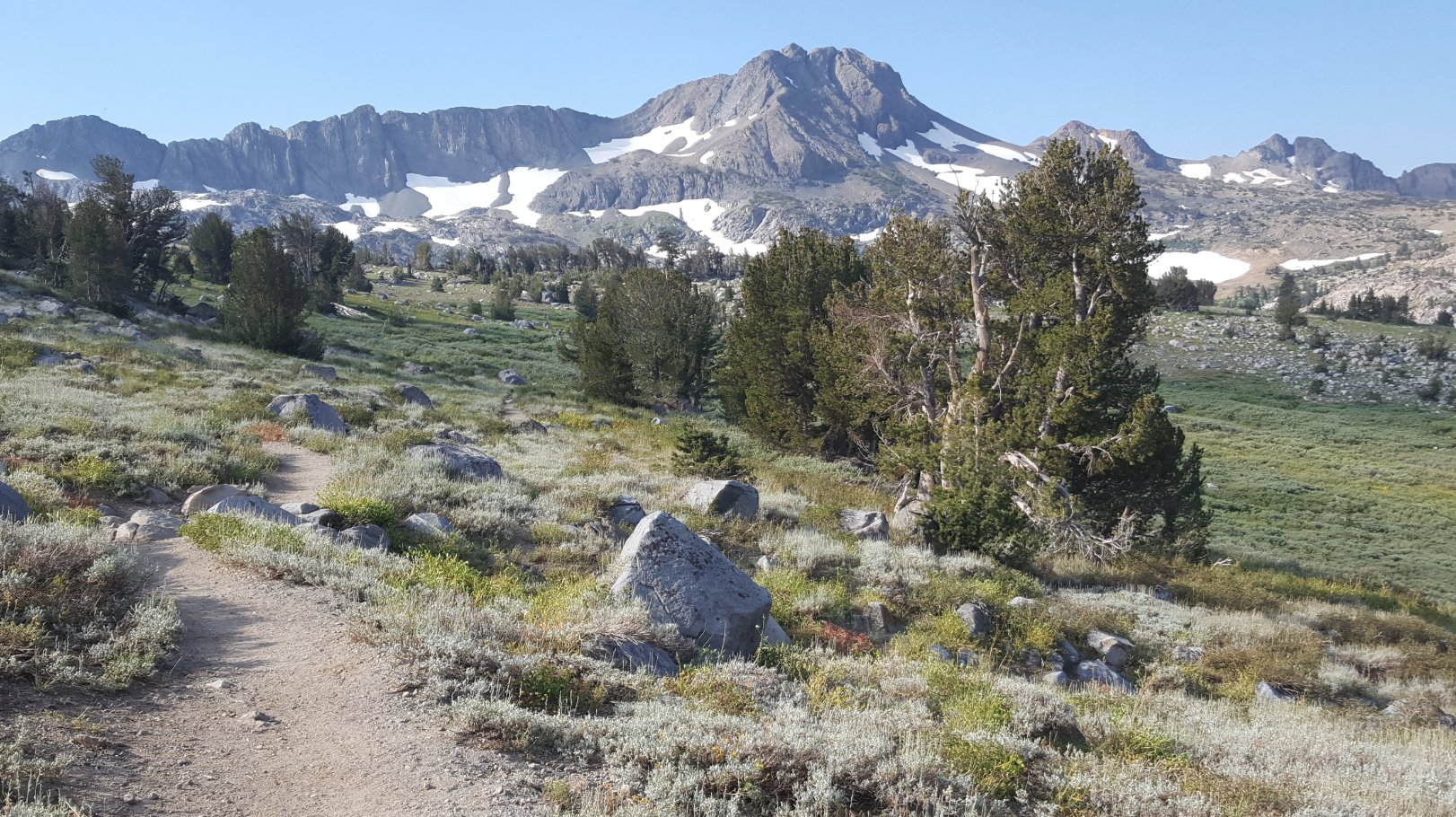
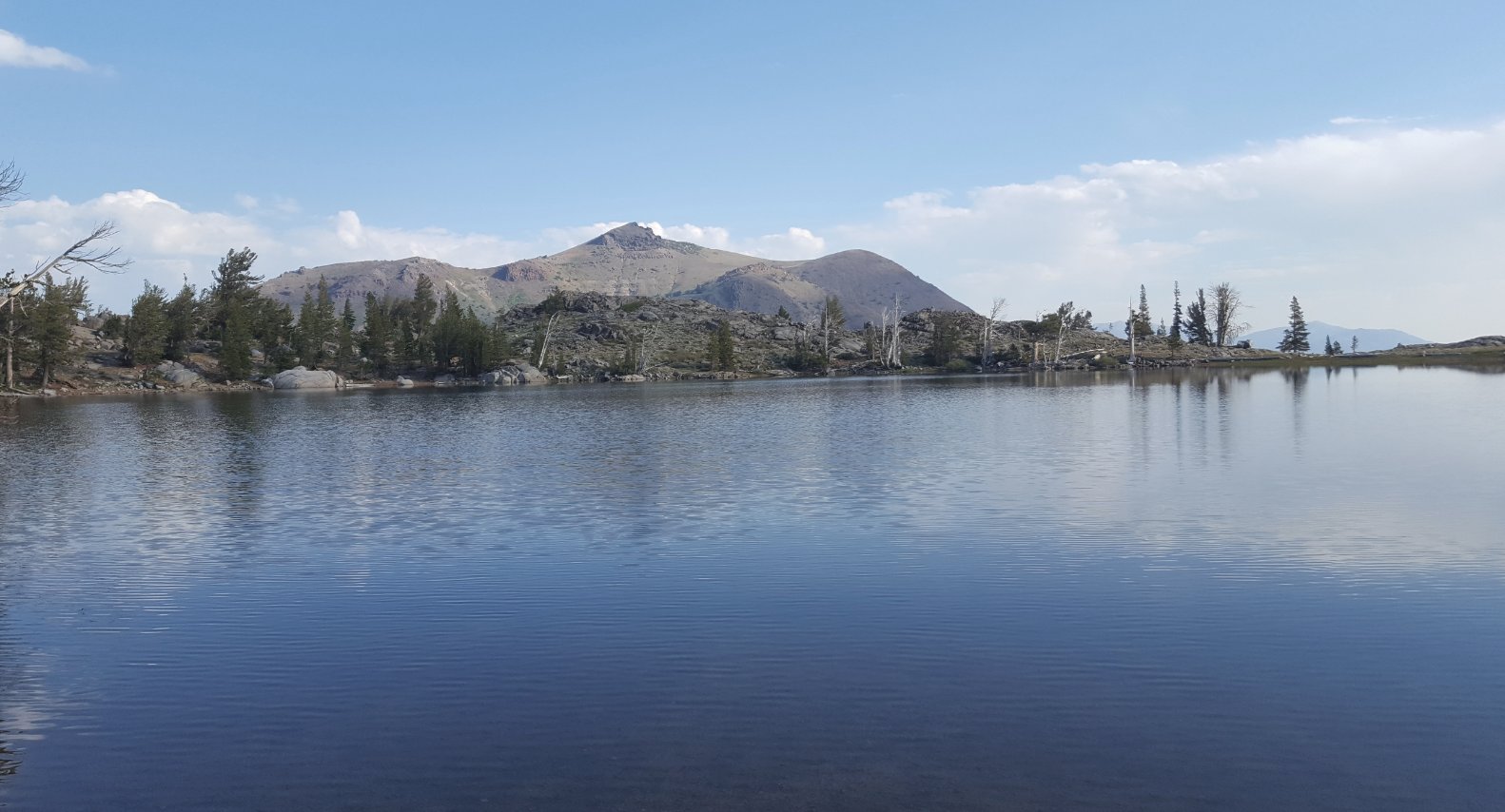
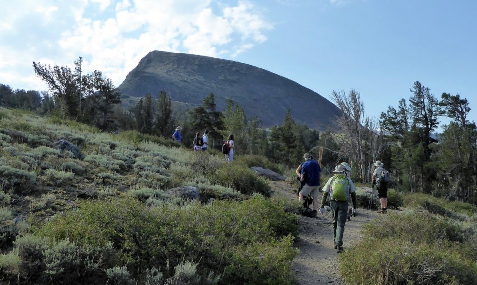
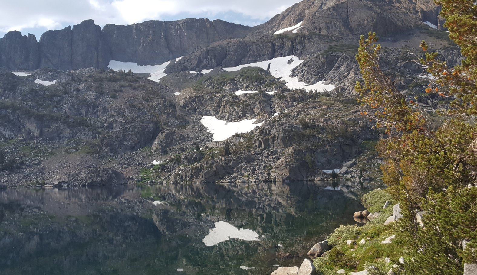
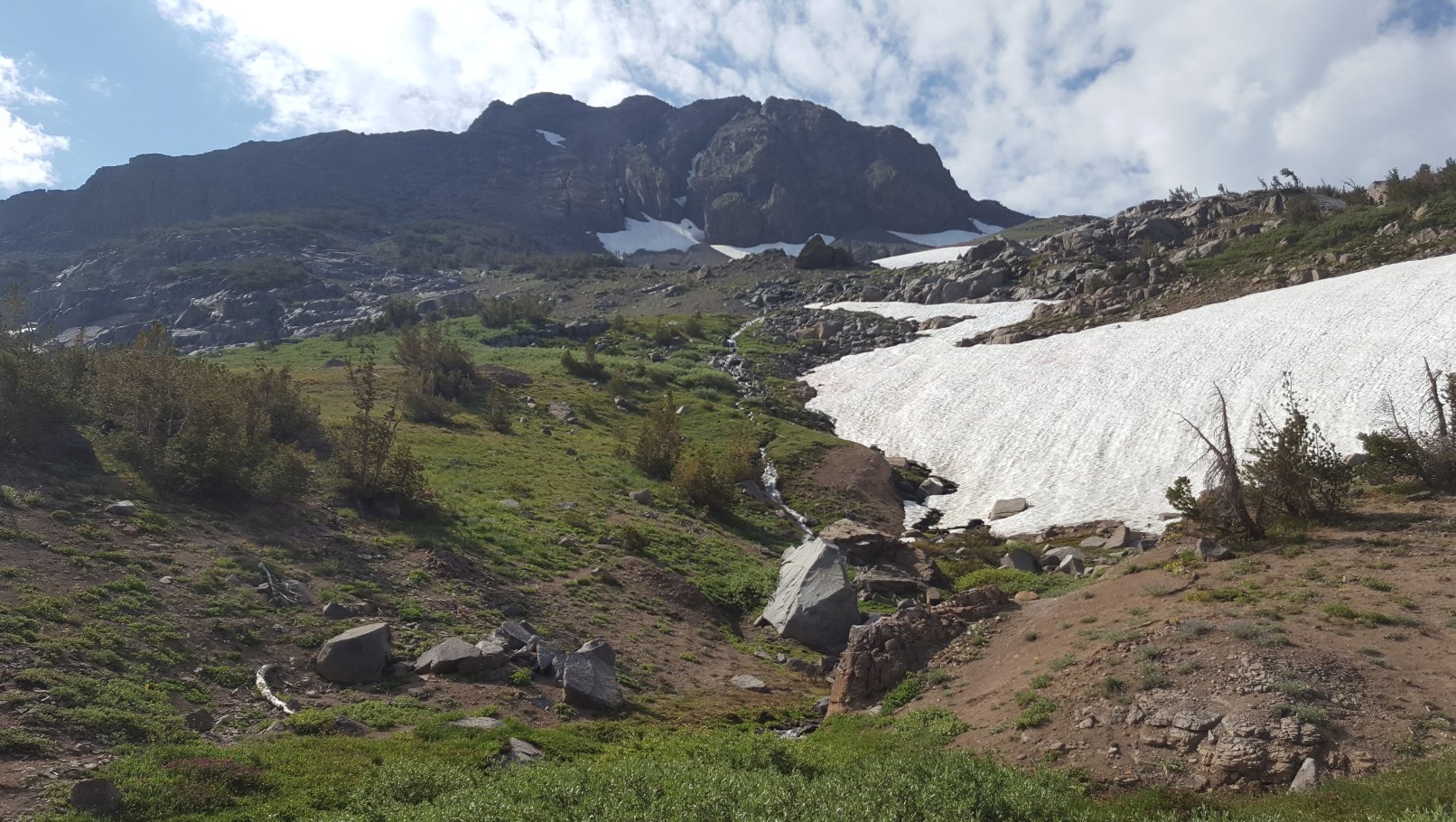
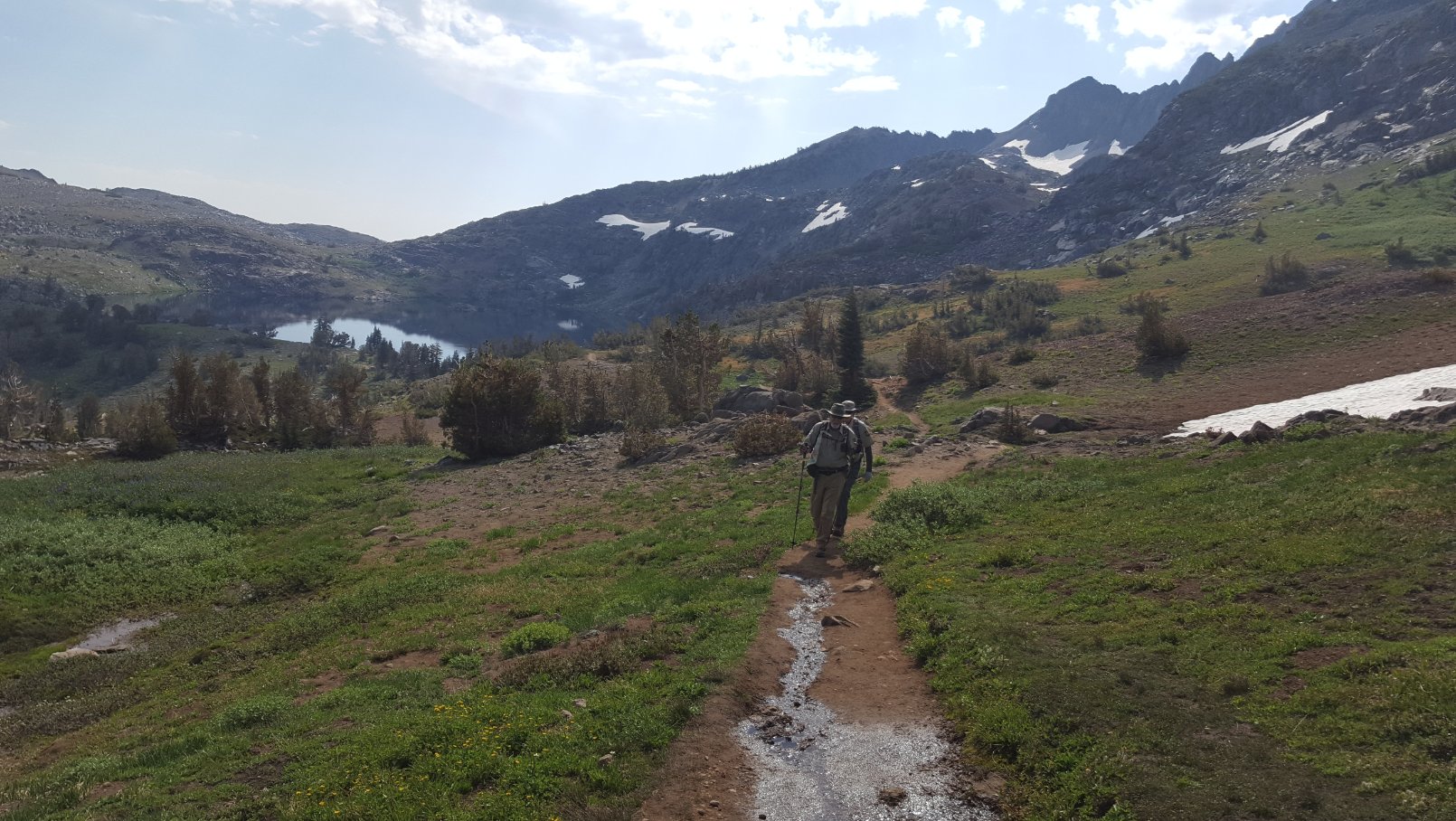
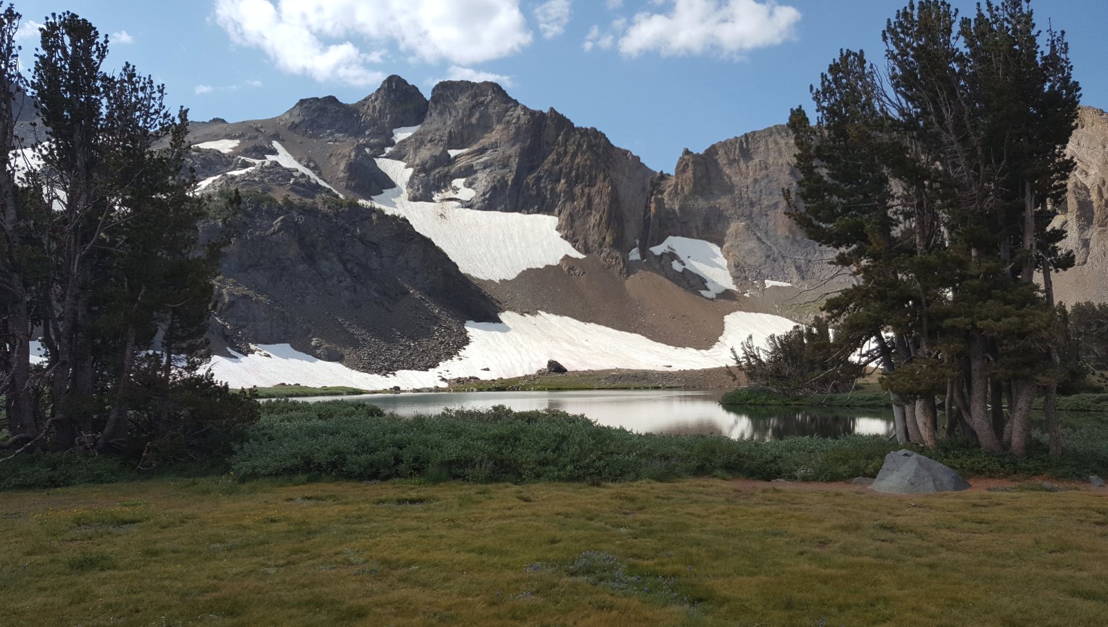
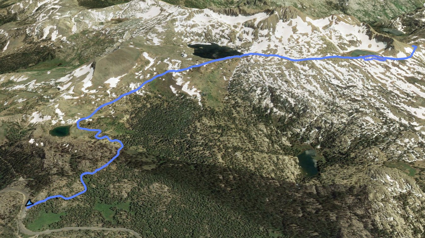
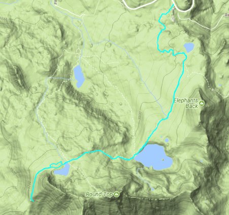
| General Notes: From the parking area on the road, head up along the Pacific Crest Trail for a little over a mile. On your way you have the option for a quick detour to Frog Lake on your left, and then continue on the main trail past a signpost marking the junction where the PCT turns to the left. You will continue on straight until reach the Lake Winnemucca. This is a popular destination for day hiking and camping, and the view of Round Top Mountain in the distance is spectacular. After you pass the outlet of the lake, continue on up the trail toward the west, and don't take the junction to the right down the canyon which will be signed for Woods Lake. The trail climbs in earnest here for nearly a mile, until you come up over the ridge which separates Lake Winnemucca from Round Top Lake. The trail drops from here to the shore of Round Top Lake, where another junction with a trail back to Woods Lake (via the Lost Mine Trail) heads off to your right. If you want to climb to the top of Round Top Mountain this is the point where you would head on up toward the gap just to the right of the peak, or you can continue on the trail and head down to Fourth of July Lake. This lake is situated about halfway up the trail descending down into Summit City Canyon, and is a very popular backpacking destination. |
|||||
