Distance: 12.9 Miles
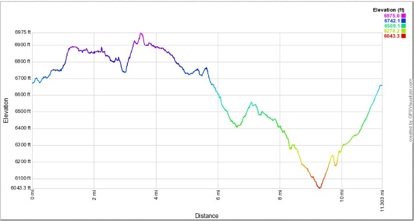
Vertical Gain: 1500'
Group Size: 3
Hike Rating: Easy Moderate Hard Strenuous

 GPX for
this trip

| Start Coordinates: | N 39 24.107, W 120 38.610 | End Coordinates: | Same as starting coordinates | ||
| Car Shuttle Req'd: | No | Parking Directions: | Take Highway 80 to the Highway 20 turnoff a couple exits west of Cisco Grove. Follow the road back under the freeway and continue on Highway 20 until you get to Highway 18, also known as Bowman Lake Road. Stay on this road for a little over 6 miles until you get to the turnoff to Carr Lake. Follow the signs from here to the parking area at Carr Lake lot. | ||
| Hazards of Note: | Trails are well marked all the way but expect some north slope snow in the spring and early summer. | Crowd Factor: | Moderate to busy. This trailhead is accessible and popular for a wide variety of destinations in the area. Expect this to be a busy place to park, especially on a weekend. | ||
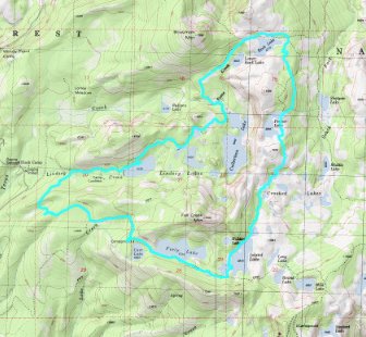
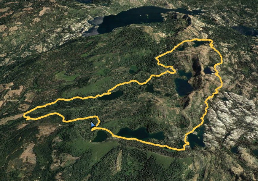
| General Notes: From the parking at Carr Lake head east and almost immediately along the northern shore of Carr Lake. Just past this is a creek crossing from the outlet of Feeley Lake, and then you will travel along the southern edge of Feeley Lake for about 1/2 mile with the picturesque Fall Creek Mountain towering behind. You will pass two unnamed lakes next, one on the right and then one on the left, and then there is a trail junction here to head north from the Round Lake Trail onto the Crooked Lakes trail. Turn left on this trail and head north for the next few miles. The first last on your right is Island Lake, and about halfway up the lake you will have a view far to the southeast of the Grouse Ridge Lookout. Continue north past a number of Lakes on the right side all called Crooked Lakes, adn the trail will continue to climb until you reach the picturesque Penner Lake about 5 miles into this trip. This is a nice place to stop and rest for a bit, and then continue on along a new section of trail for about a mile until you pick up the Rock Lake Trail. Heading east would take you toward Sawmill Lake and an alternate loop option to then head back south on the Shotgun Lake Trail to Milk Lake and then back to Carr. For this trip we headed west, past Rock Lake and then Lower Rock Lake. After about a mile and a half you will reach a junction to head west toward Loney Meadows, or east toward Culbertson Lake and the Lindsey Lakes. The road will actually bypass Lindsey Lakes, but take a quick detour down to the lake to take in a really pretty view of Fall Creek Mountain reflected in the lake. The last 2 miles of the loop are on unimpressive forest service road, and it is uphill the entire way so be prepared for that final kick to the finish. |
|||||

