
|
Robb's
Hut & Peak Snowshoe Hike
|
|
Trip Date: 03/09/2018
Distance: 4.5 Miles
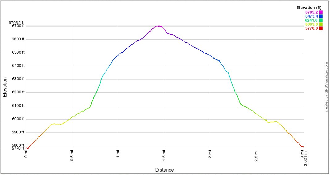
Vertical Gain:
1000'
Group Size:
5
Hike Rating:
Easy
Moderate
Hard
Strenuous |
 GPX
for
this trip GPX
for
this trip
|
|
|
Start Coordinates: |
N 38 55.055 W 120
23.103 |
|
End Coordinates: |
Same as Start Coordinates
|
| Car Shuttle
Req'd: |
No |
|
Parking
Directions: |
Take
Highway 50 to Ice House Road. Drive about 20 miles north on
Ice
House Road until you get to the turnoff to Cheese Camp Road on the
right (East side.) You will park off the road in this area
and the start of the hike will be across Ice House road to the west. |
| Hazards of
Note: |
Deep snow and lack of trail. |
|
Crowd Factor: |
Moderate to low in the winter.
This can be a popular snowshoe area, but mostly on the windy
road up to the top of the peak but heading straight up the hill along
this track will bisect the road and eliminate most chances of running
into others. |
General Notes:
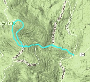
Once at the parking area cross Ice House Road, and then head on up the
hill for about 1000 feet of elevation gain over the next mile and a
half. This 'shortcut' trail will cross the main road up to
the top of the peak three different times, and this road can be
followed if less elevation gain at a time is desired.
However, this will add over one mile each direction to the
snowshoe. Following the shortcut, once you reach the top of
the ridgeline, follow along this ridgeline north until you reach the
peak and the warming hut right at the top. |
|
|
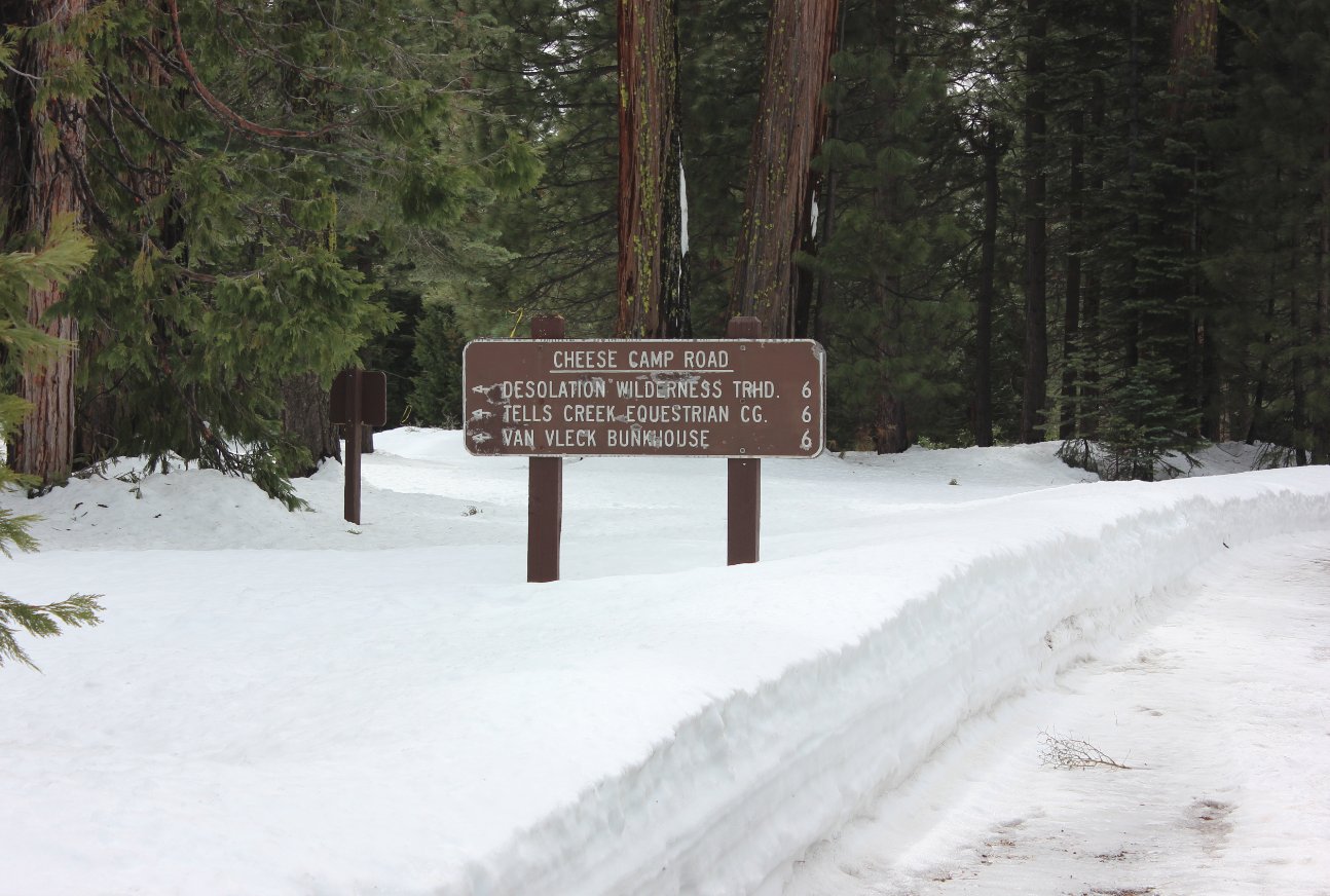
Sign for the intersection at
Cheese Camp Road where you want to look for parking off of Ice House
Road. |
 |
|
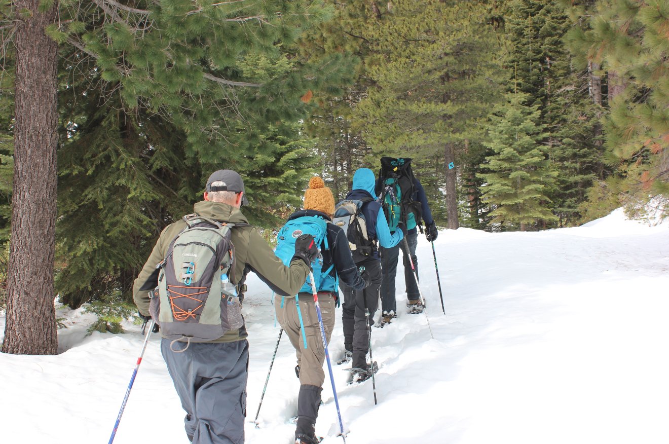
Our group heading up the
'shortcut' route, which was effectively straight up the side of the
mountain.
|
 |
|
A look at some of the
steepness of going up the 'shortcut' route, the alternative
to the longer but less steep trail up the road. |
 |
|
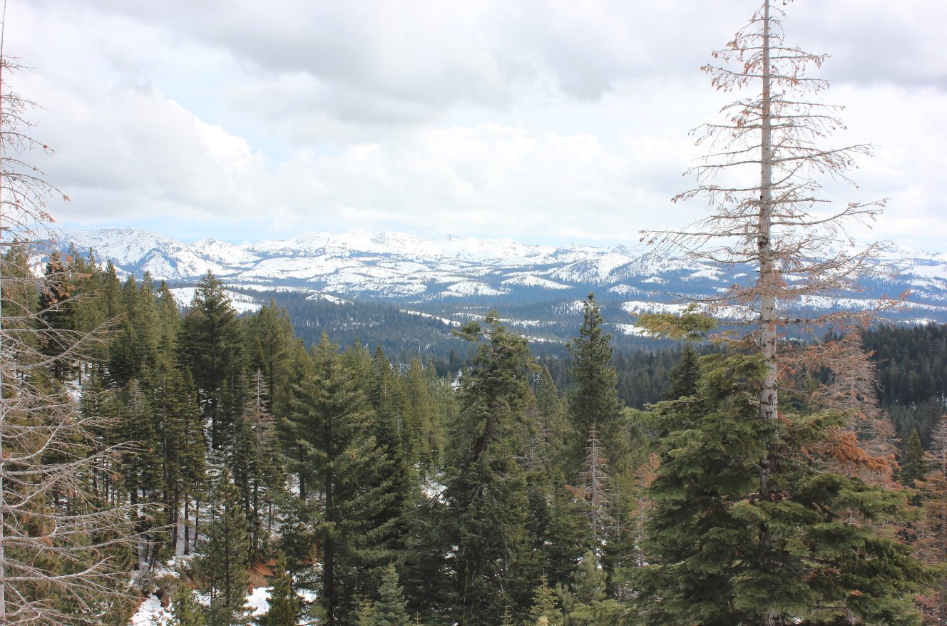
Along with the stead elevation
gain are views back toward the Crystal Range which just get better and
better as you head up higher. |
 |
|
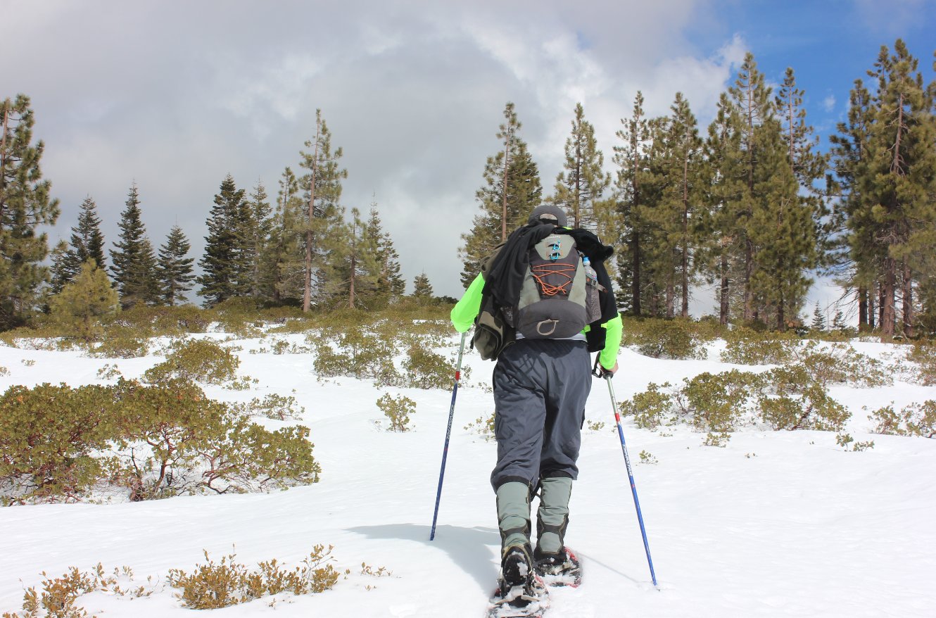
Letting Phil do some trail
breaking through the fresh feet of snow we enountered on the way up the
hill.
|
 |
|
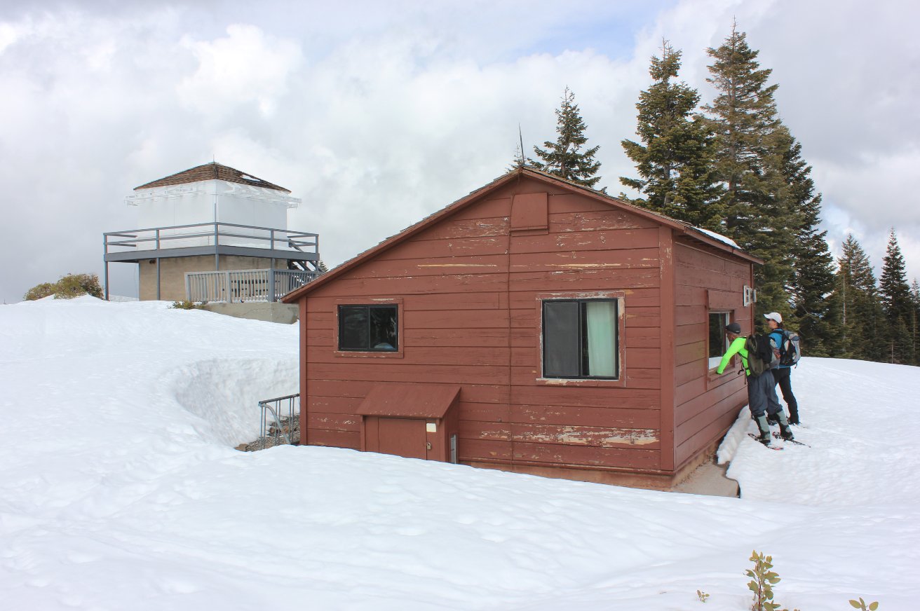
After 1000' of elevation in
just under 2 miles, we reach Robb's Peak and the rentable warming hut
and the old forest lookout tower which had a convenient picnic bench
available for lunch.
|
 |
|
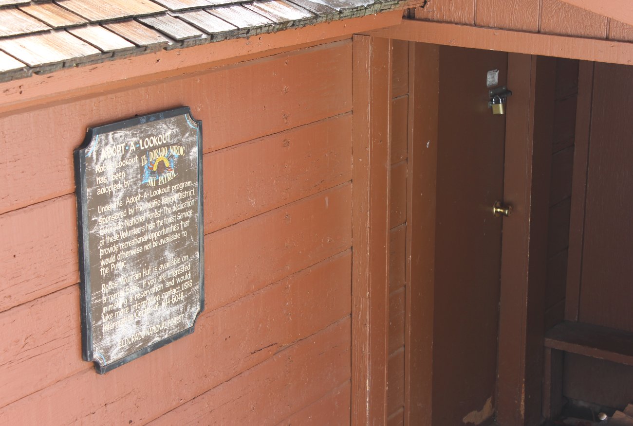
The battered but still
informative information sign near the entrance to Robb's warming hut.
|
 |
|
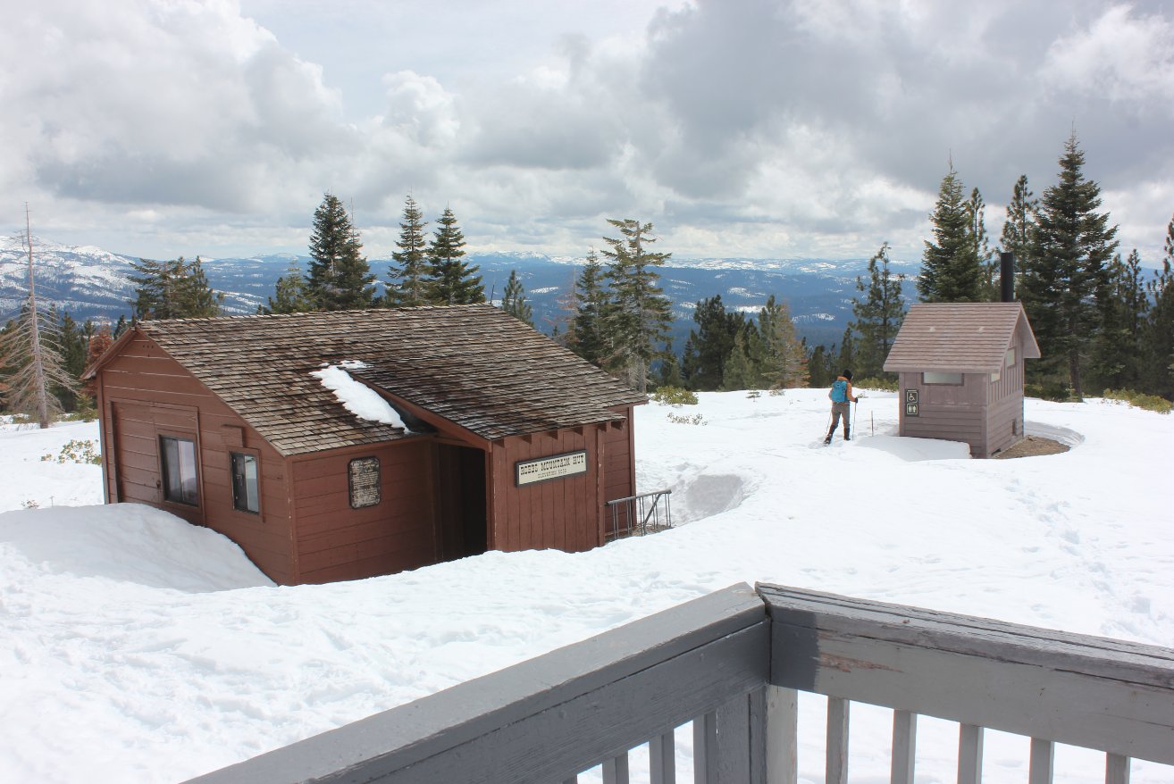
Our lunch view from the picnic
bench at the lookout tower back toward the hut and the Crystal Range in
the distance.
|
 |
|
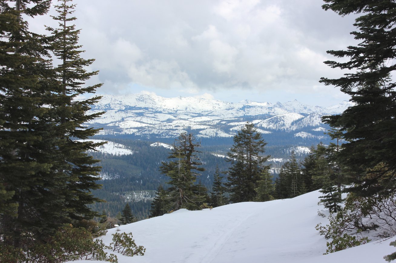
Another view of the Crystal
Range from a nice open spot along the road on the way back down.
|
 |
|
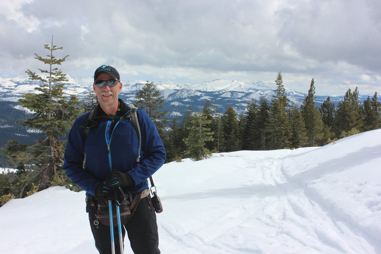
Yours truly stopped on the way
back down with an amazing view of the nearby mountains in the
background. Not only are the Crystal Range peaks of Price,
Agassiz and Pyramid visible, but even Round Top and Mokelumne Peaks in
the Mokelumne Wilderness further to the right is able to be seen from
this spot.
|
 |
|
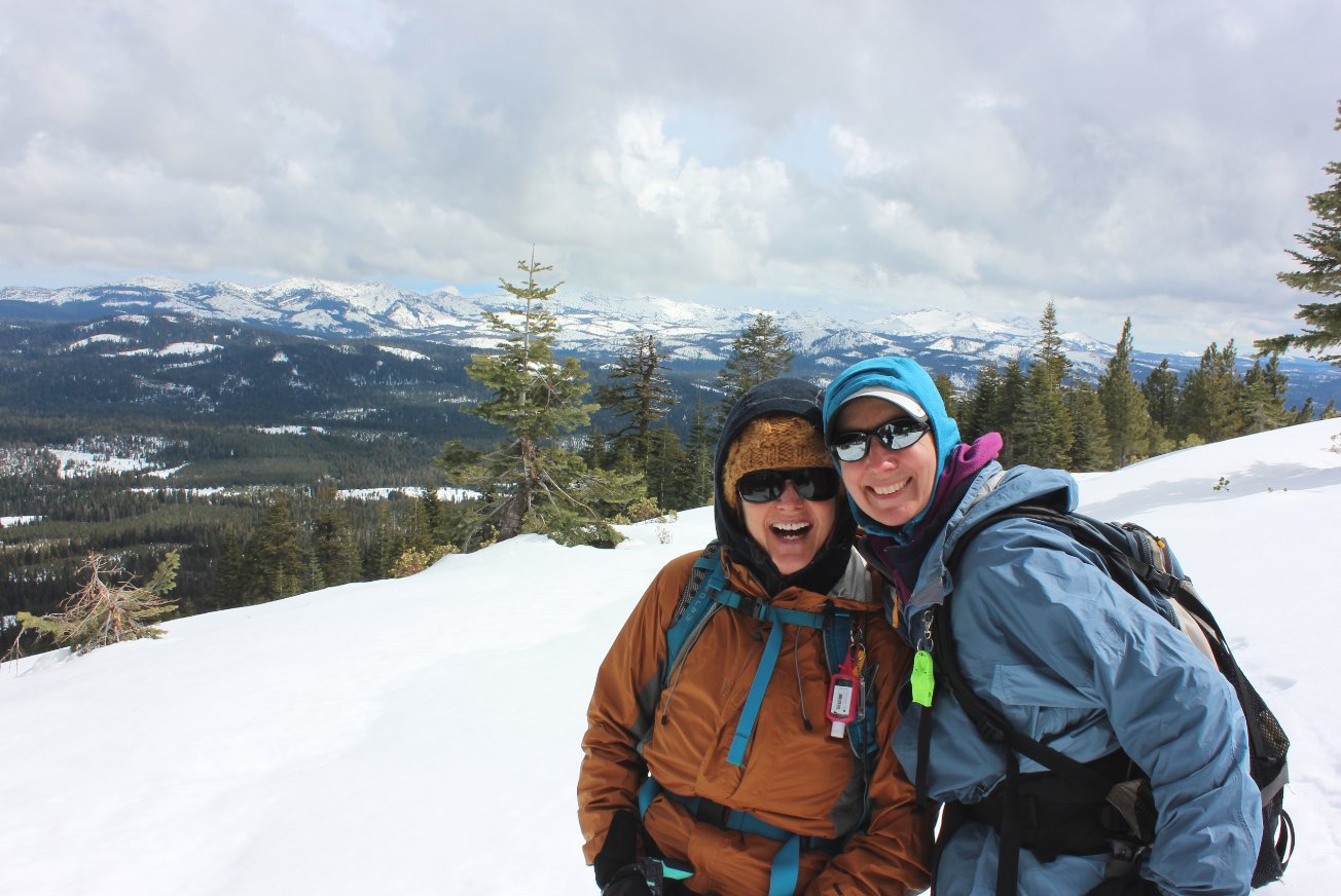
Julia and Jackie paused along
the road for a picture in front of pretty scenic views.
|
 |
|
GPS Track
of the full hike. |
 |

 GPX
for
this trip

