
|
Red
Mountain Snowshoe Hike
|
|
Trip Date: 03/10/2017
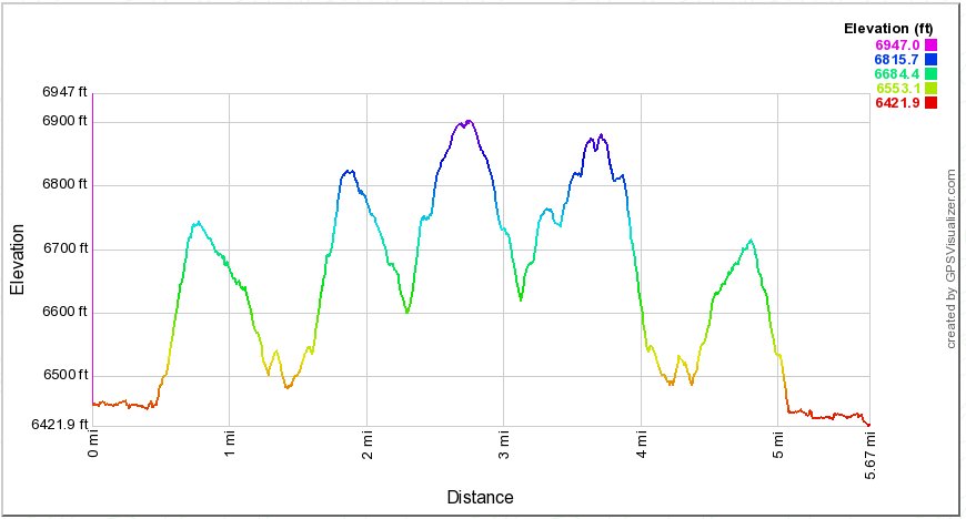
Distance: 5.7 Miles
Vertical Gain:
150'
Group Size:
2
Hike Rating:
Easy
Moderate
Hard
Strenuous |
 See
video of hike
 GPX
for
this trip GPX
for
this trip
|
|
|
Start Coordinates: |
N 38 59.092 W 120
19.751 |
|
End Coordinates: |
Same as Start Coordinates
|
| Car Shuttle
Req'd: |
No |
|
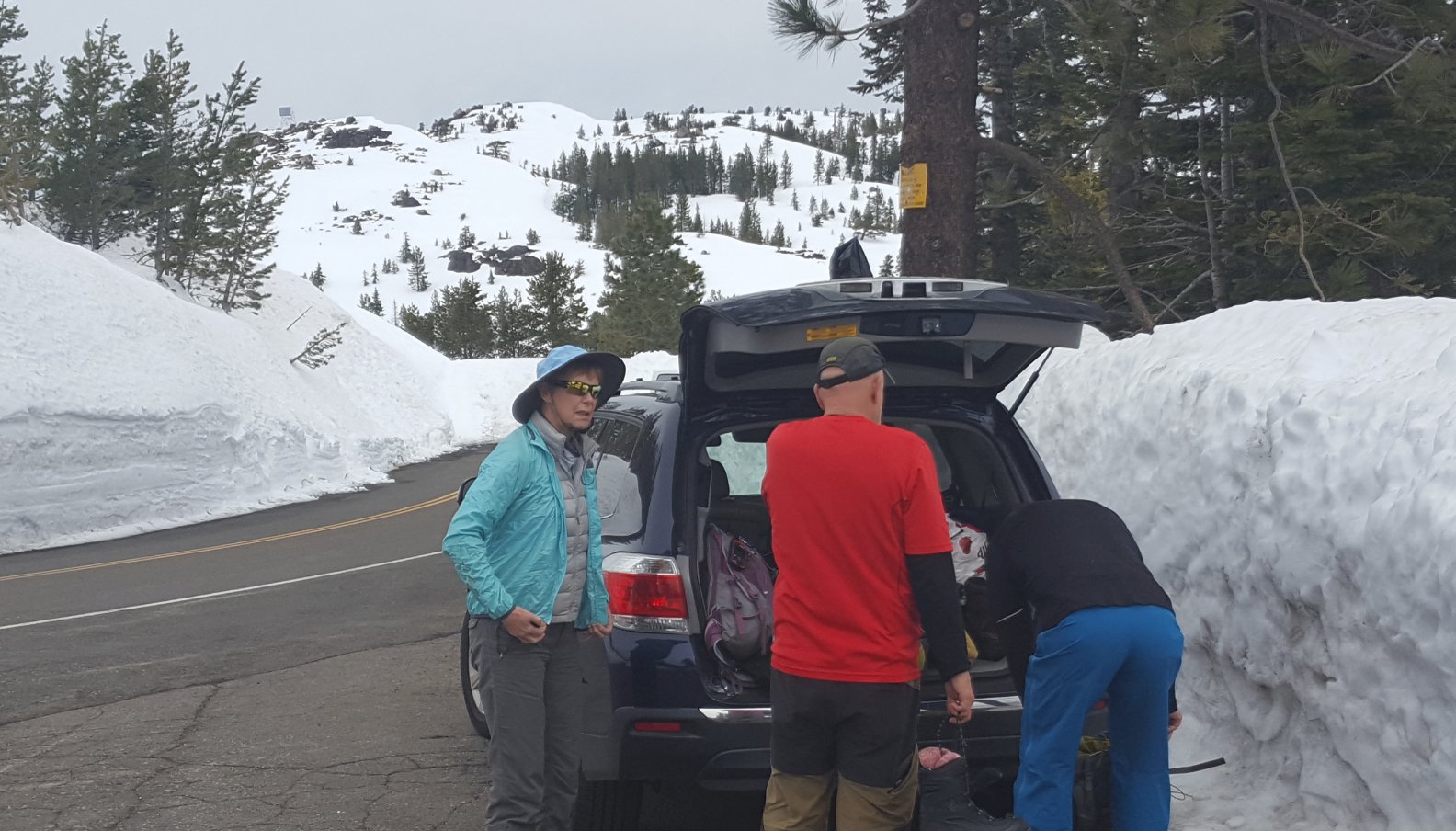
Parking
Directions: |
Take
Highway 50 to Ice House Road. Drive about 25 miles north on
Ice
House Road until you get to Loon Lake. You will park in the
Loon
Lake Chalet parking area. |
| Hazards of
Note: |
Deep snow and lack of trail. |
|
Crowd Factor: |
Moderate to low in the winter.
On weekends the chalet will be used but parking is for anyone. |
General Notes:
If
parking at the chalet head down toward the lake and head across the dam
to the north to start the trek. When you cross over the dam
head
uphill to the right of the "movie screen" and then head past it and
stay as high as possible as you make your way toward the peak to your
north. Dropping down into a couple of gullies is necessary
via
this route, but the way is pretty straightforward. |
|
|
An
alternative location for parking is just past the turnoff for the
chalet, almost to the point where the road is no longer plowed.
This will cut about 1/2 a mile total off the trek if you can
get
to the area early enough to find a spot. |
 |
|
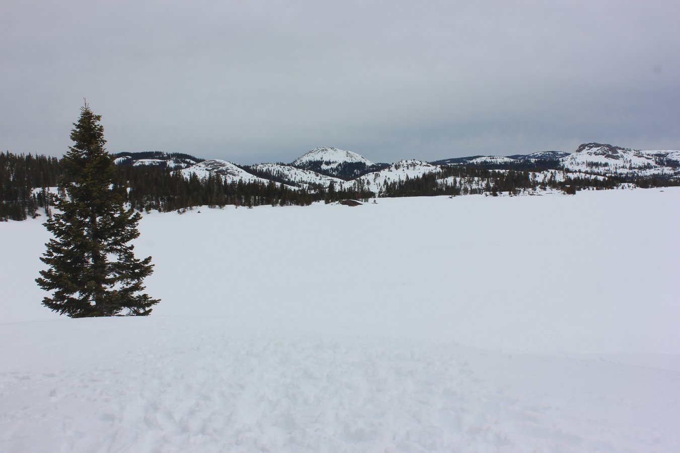
TThe view from the first dam
across a frozen Loon Lake to the east.
|
 |
|
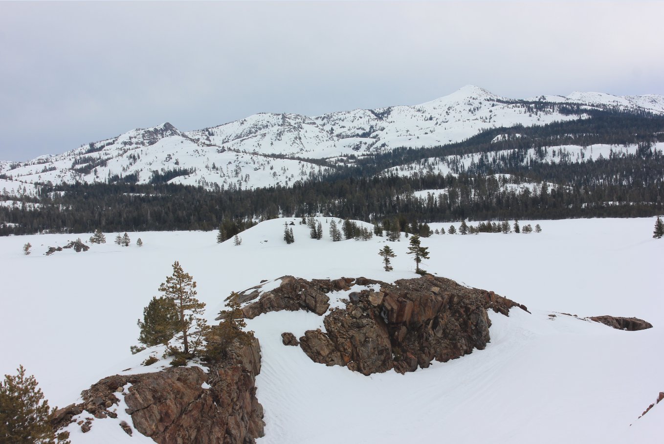
Another look across Loon Lake
toward Tells Peak in the far distance. |
 |
|
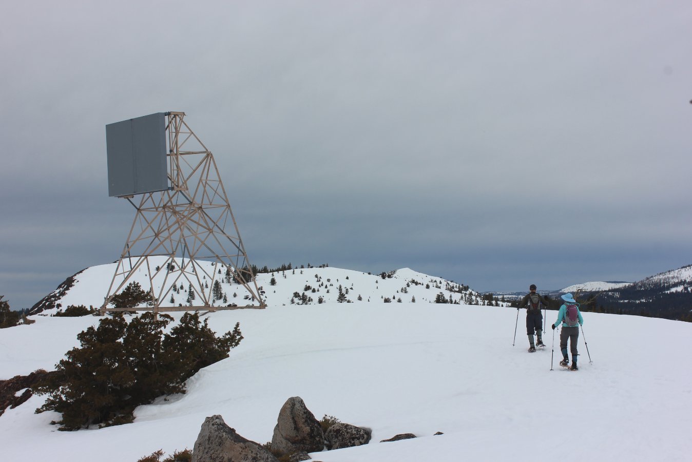
Past the
dam is the first climb up a small hill, just to the right of the
communications tower fondly known as the "movie screen." |
 |
|
Making
the climb up from Loon Lake level over terrain that in the summer would
be mostly impassable from the brush and manzanita which covers the area.
|
 |
|
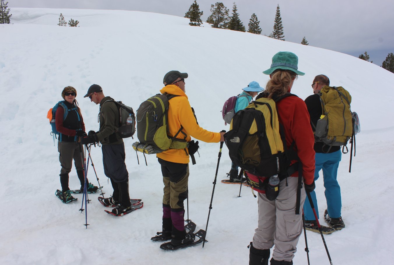
Our group collecting itself
before the assault on a second big hill on the way.
|
 |
|
The group on its way up the
hillside, the second of three good climbs to get to the top of Red
Mountain.
|
 |
|
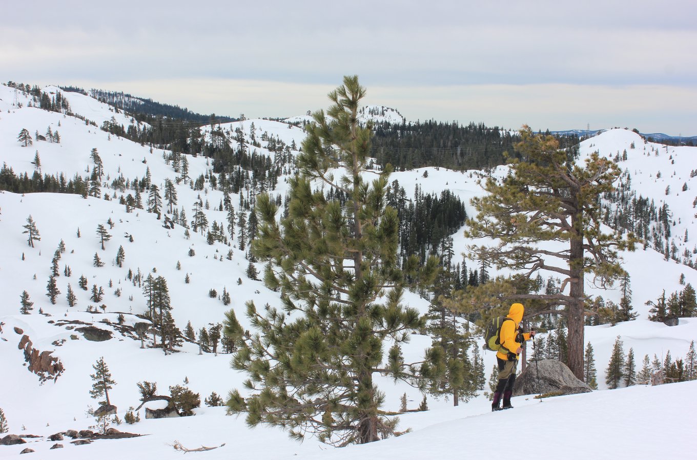
Mark taking a look back at the
first hill and gully we have passed since heading up from the lake.
|
 |
|
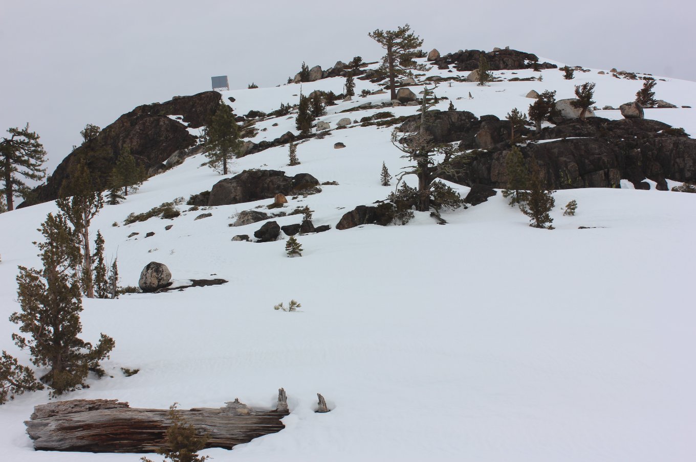
The final assault on the peak
heads up a pretty steep incline.
|
 |
|
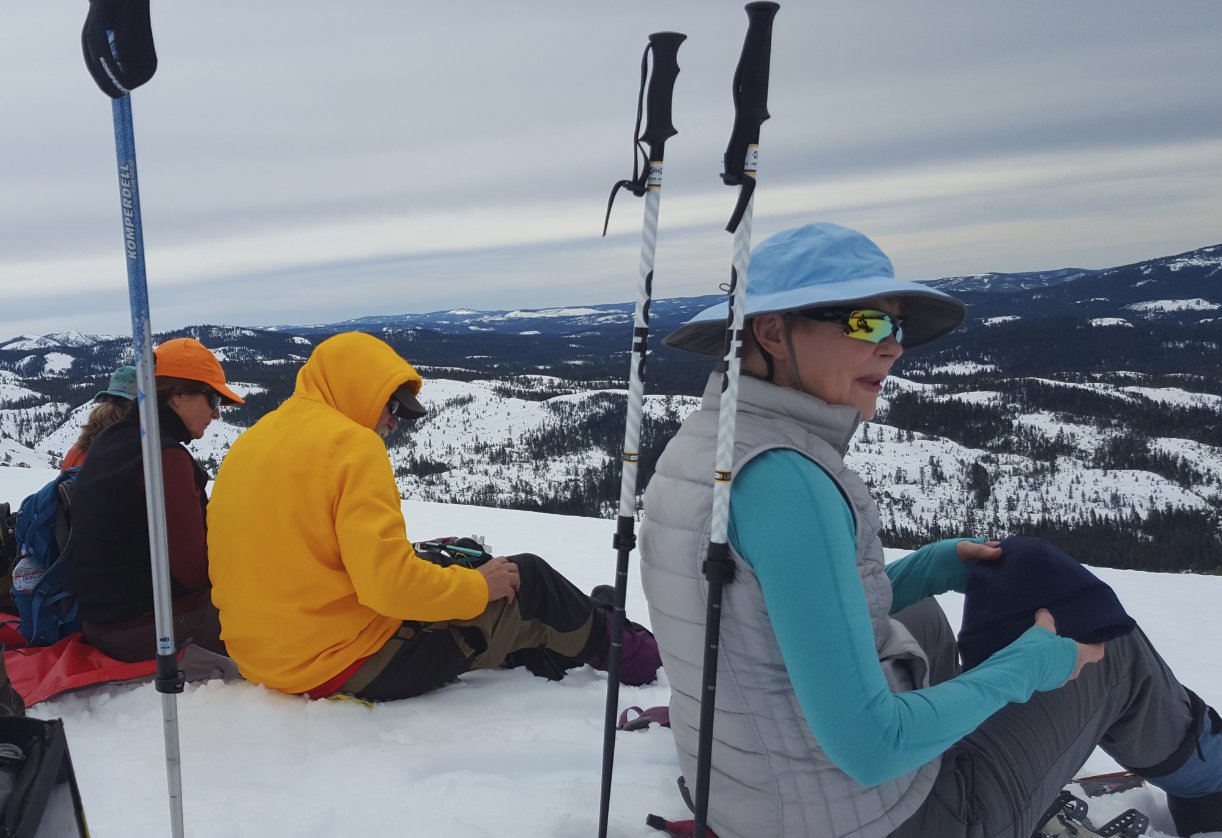
Enjoying some lunch at the top
with incredible views in all directions.
|
 |
|
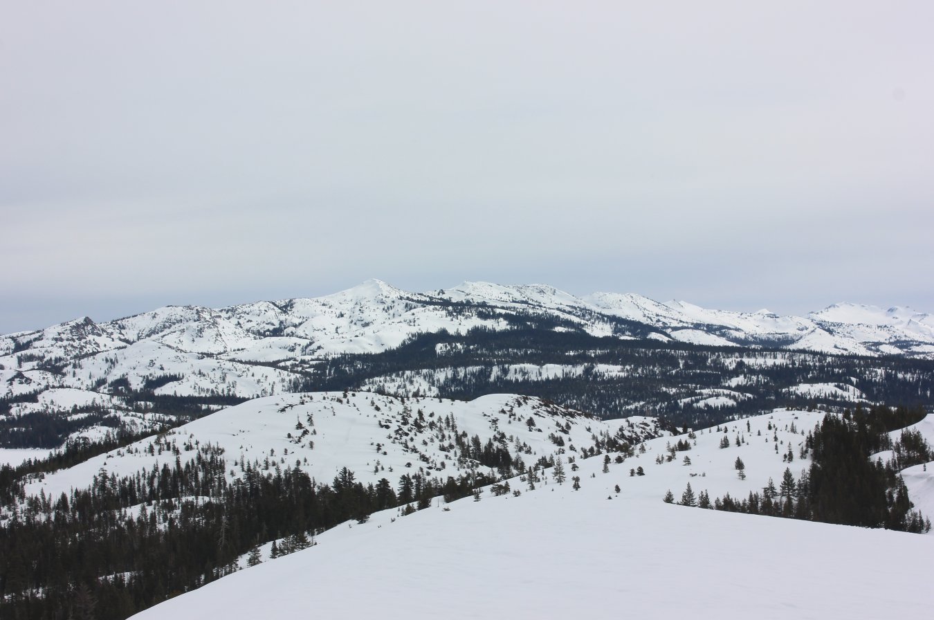
Looking toward Tells Peak and
some of the further Desolation Wilderness peaks far to the south of our
perch on Red Mountain.
|
 |
|
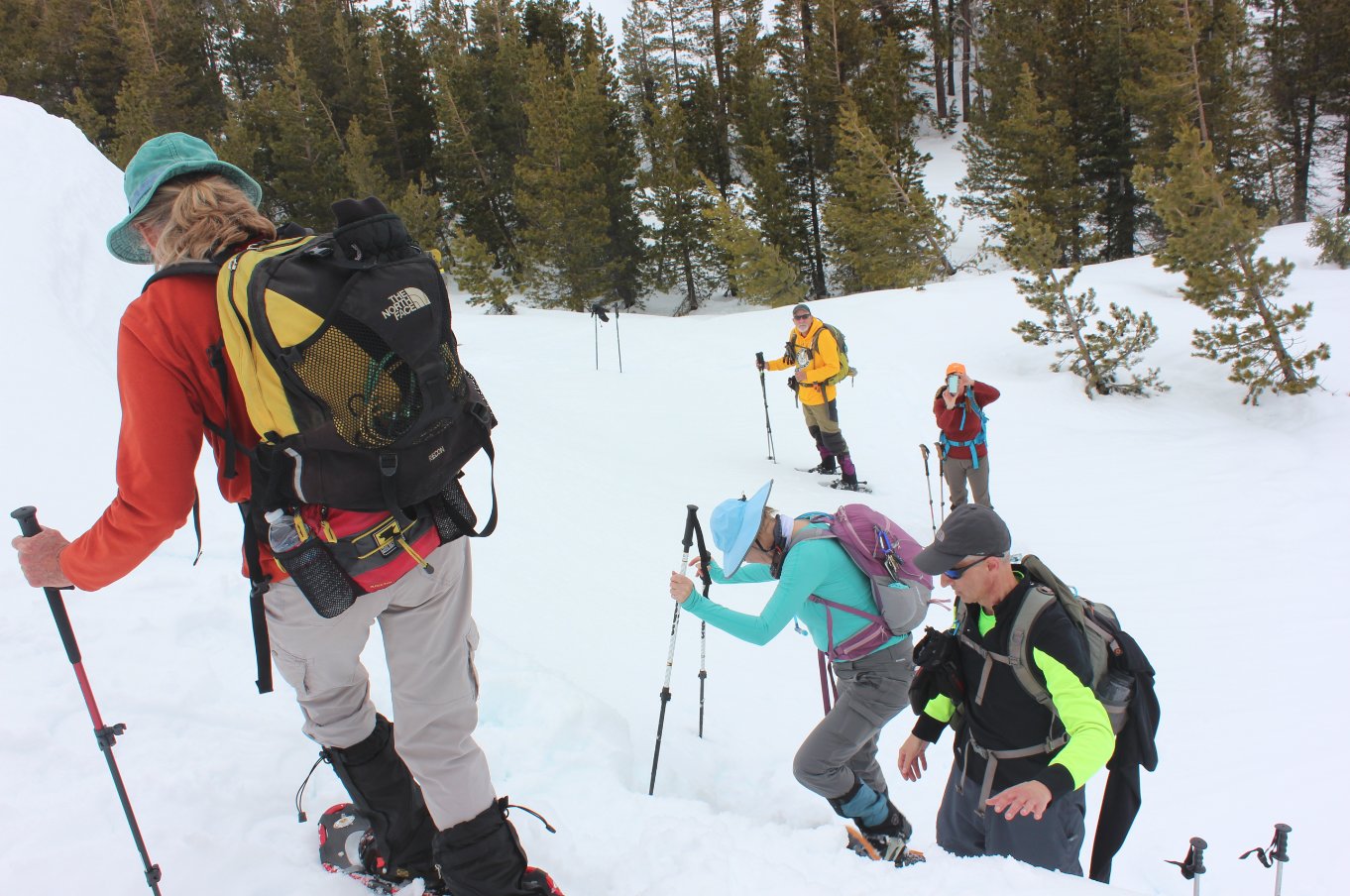
Heading
back down a steep section on the way back toward Loon Lake.
Facing the hill like a ladder is the safest way to navigate
situations such as these.
|
 |
|
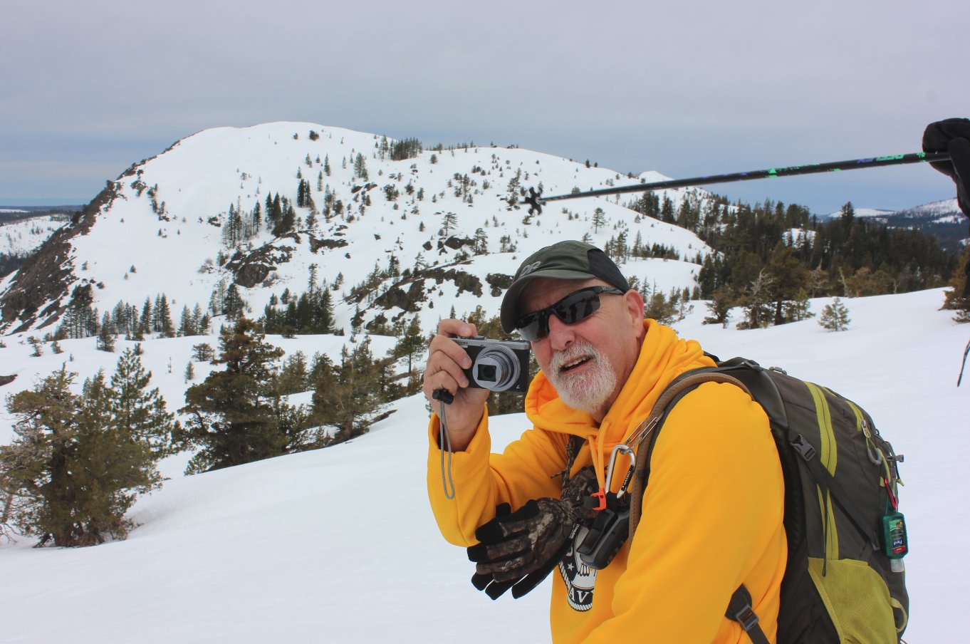
One last look back at Red
Mountain, where we enjoyed a cool lunch with spectacular views.
|
 |
|
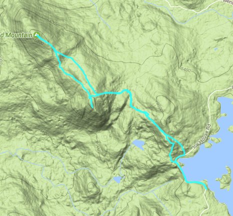
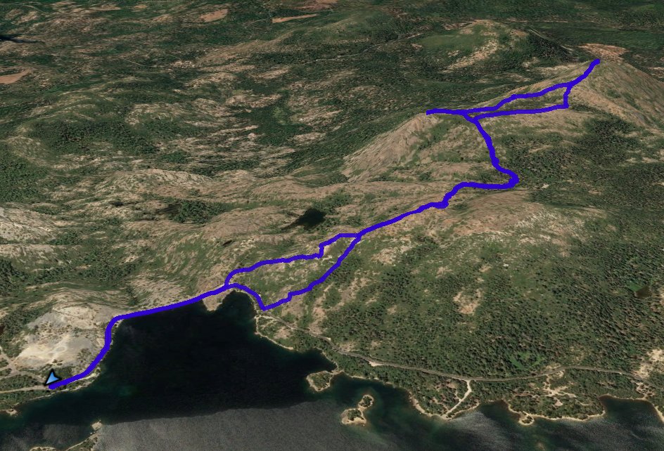
GPS Track
of the full hike. |
 |


 See
video of hike
 GPX
for
this trip


