 |
Tamarack
to
Raymond PCT Hike
|
|
Trip Date: 07/21/2017
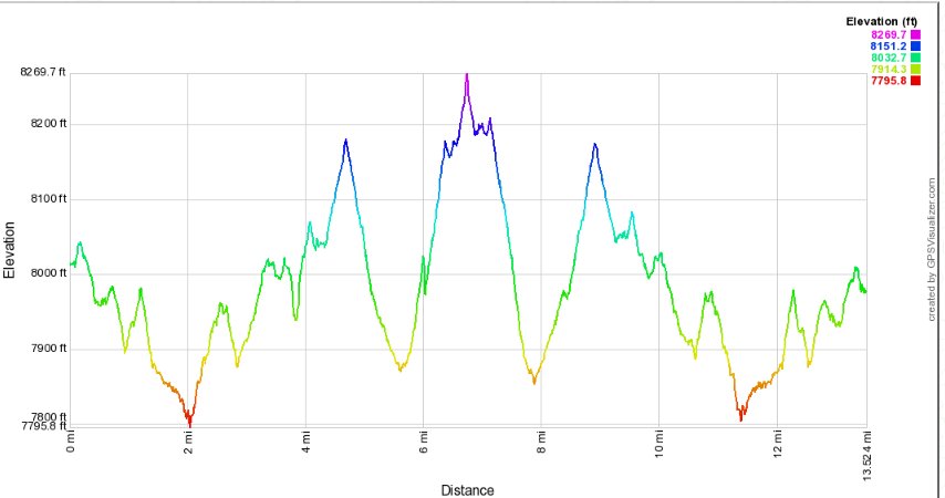
Distance: 14.5 Miles
Vertical Gain:
500'
Group Size:
1
Hike Rating: Easy
Moderate
Hard
Strenuous |
 See video of hike
  GPX
for
this trip GPX
for
this trip |
|
| Start
Coordinates: |
N 38° 37.201'
W 119° 54.492' |
|
End
Coordinates: |
Same as Start Coordinates
|
| Car
Shuttle
Req'd: |
No |
|
Parking
Directions: |
Take
Highway 88 to the Blue Lakes Road turn south, just to the west of
Pickett's Junction. Go south on Blue Lakes road 11.5 miles to
the turnoff for the Tamarack Junction trailhead for the Pacific Crest
Trail, otherwise known as Sunset Lake Road. Follow this road
for
about 1/4 mile and then park in the PCT trailhead parking on the left
side. Note:
There
a couple of access roads which might require 4WD further down (toward
Lower Sunset Lake or Wet Meadows Reservoir) which will cut a
significant amount of travel time (3 miles or 5 miles) off this out and
back.
|
| Hazards
of
Note: |
Mosquitos,
tics, loose rock
and shale as you near the Raymond Lake and Raymond Peaks area.
|
|
Crowd
Factor: |
Moderate to High.
The entire
length of this trek is along the Pacific Crest Trail (PCT) and the
lakes which the trail passes along are very popular camping
destinations.
|
General
Notes:
From
the trailhead parking, pick up the trail which heads to the right of
the rest room building at the east end of the lot. Follow
this
trail for about 1/10 of a mile until it connects up with the Pacific
Crest Trail (PCT.) Head to the right (south,) and follow this
trail for as long as you would like. The trail ends at Mexico
but
Raymond Lake is a viable turn around point 8 miles ahead if you can get
out onto the trail early enough.
About 5 1/2 miles into the trail the switchbacks up toward Raymond Lake
begin, and the views of Pleasant Valley and Thornburg Peak across to
the north are fantastic from here. In the spring and early
summer
there is an impressive cascade of water along Pleasant Valley Creek
which flows out of Wet Meadow Reservoir.
|
|
|
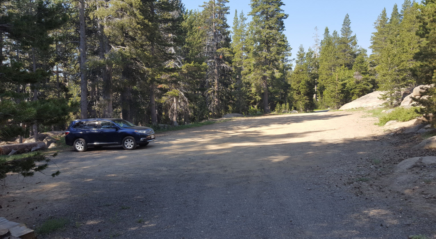
The
empty trailhead at the Tamarack parking for the Pacific Crest Trail
just south of Blue Lakes road.
|
 |
|
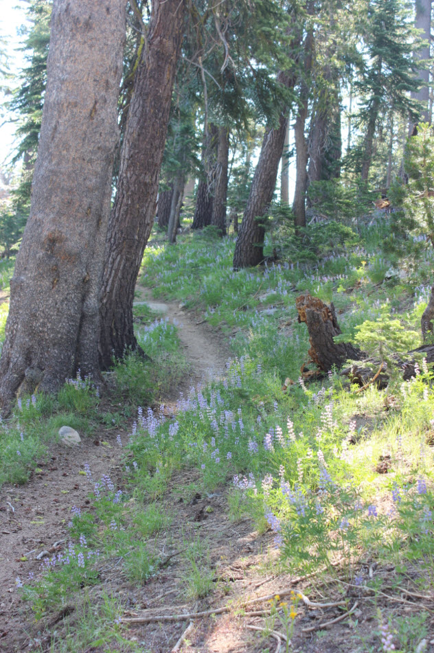
The
first couple miles of the trail south from Tamarack TH are mostly
forested with a number of lakes visible on both sides of the trail at
times.
|
 |
|
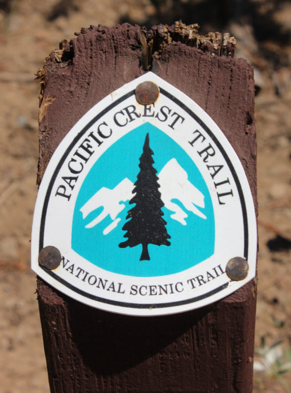
The
only official PCT markers along this entire section of trail were on
either side of the Lower Sunset Lake road which the trail crosses early
on.
|
 |
|
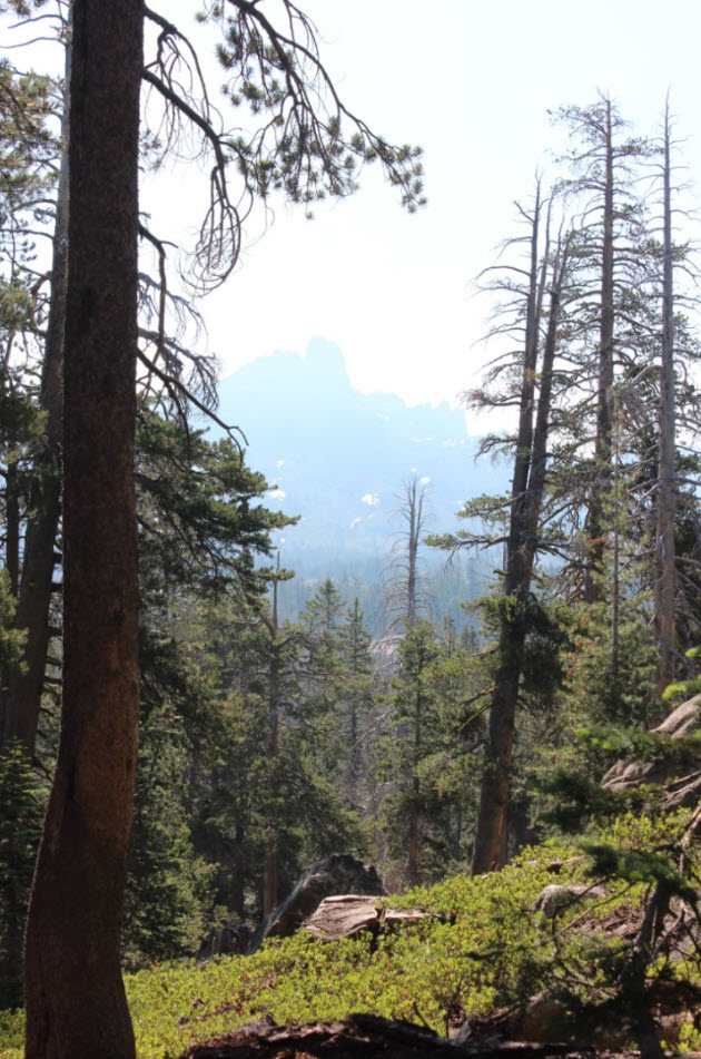
A
look through the smokey skies toward part of the Raymond Peak ridgeline.
|
 |
|
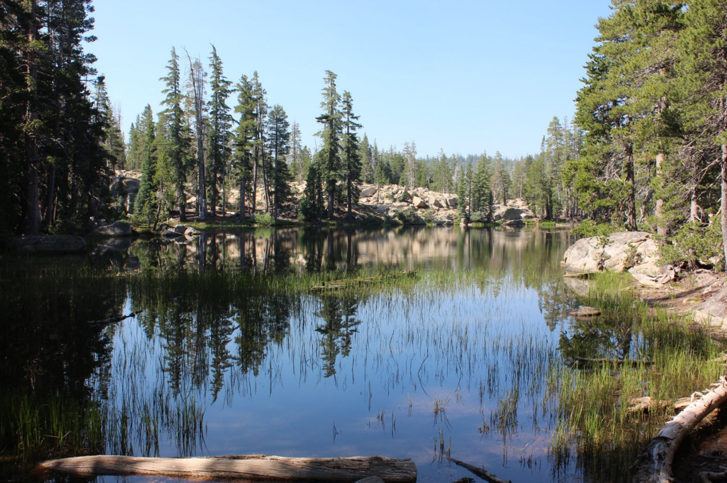
A
couple of lakes can be seen along the way early into the trip, but Lily
Pad Lake is right along the trail and is worth a few minutes to check
out.
|
 |
|
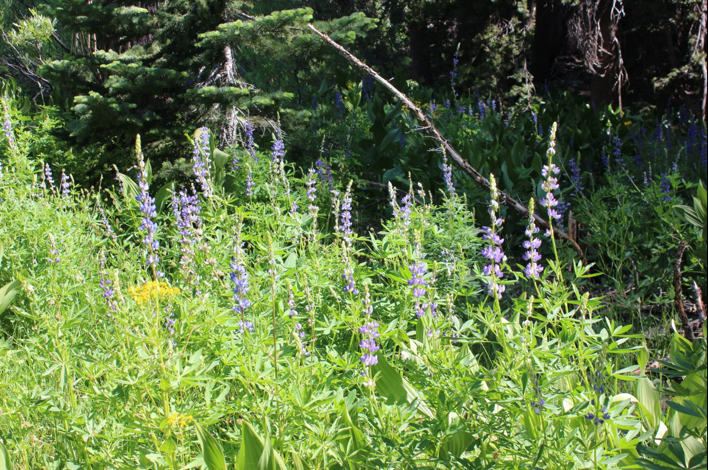
Peak
season started a little late this year, but once the wildflowers
started blooming they exploded all throughout the area.
|
 |
|
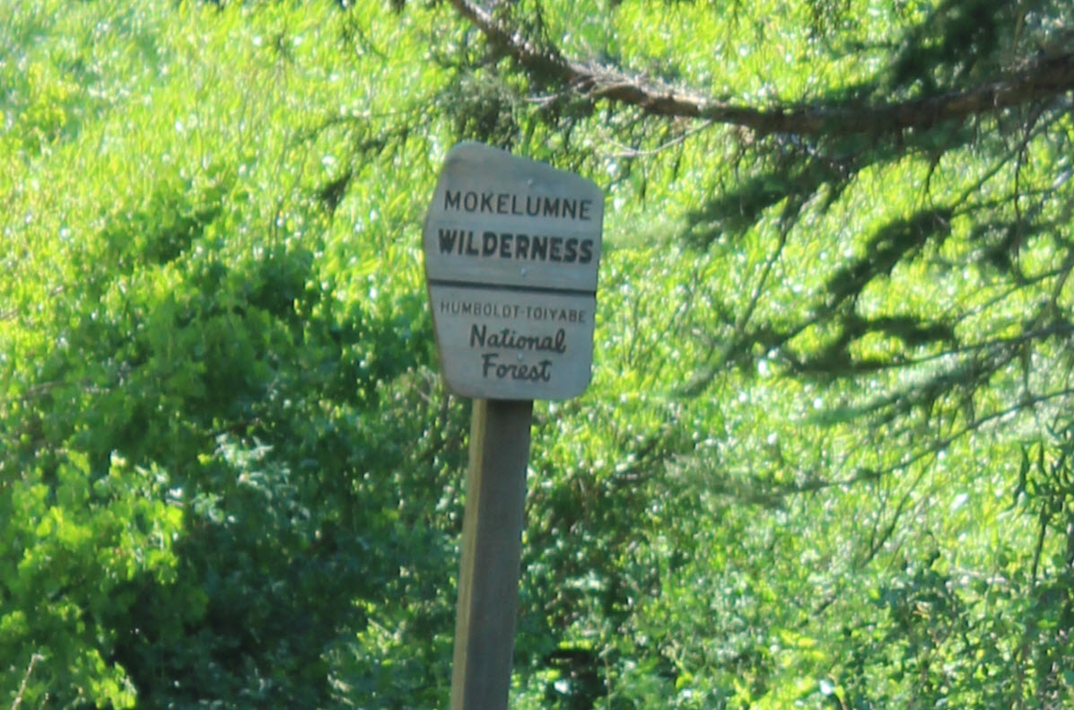
Four
miles into the trail, just a little bit past the Wet Meadows Trail
junction is the official boundary of the east side of the Mokelumne
Wilderness area.
|
 |
|
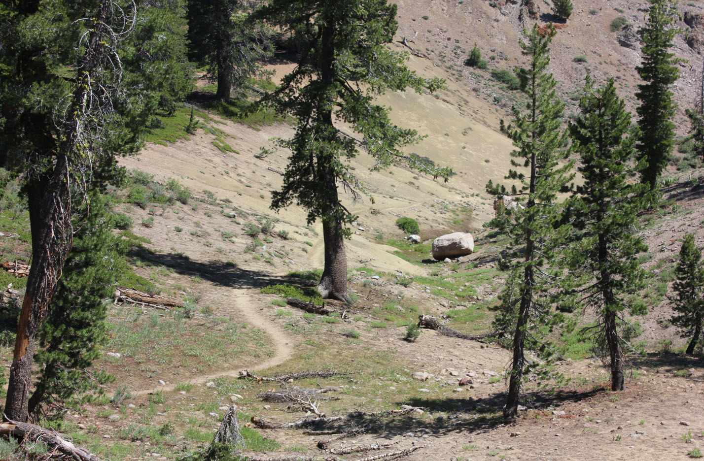
The
section of the PCT as it enters the Wilderness Area leaves the forest
for a little bit, offering a preliminary look at how the trail will be
once the Raymond area switchbacks begin a mile further.
|
 |
|
Even
in late July there were still a number of water crossings along this
section of the PCT north of Raymond Peak.
|
 |
|
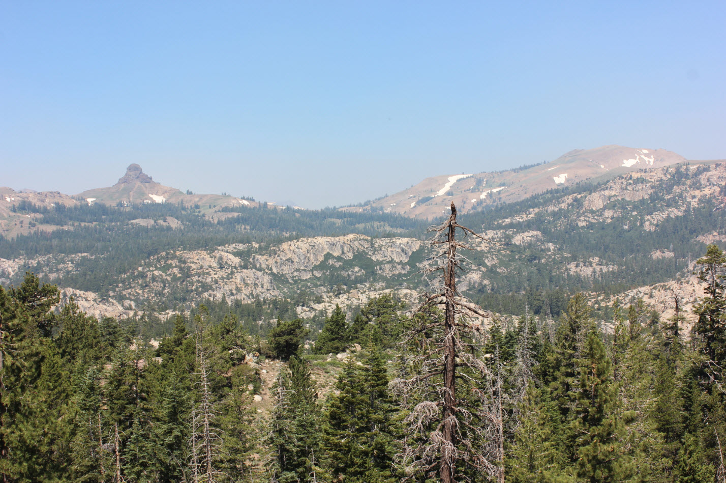
Looking
north from the trail toward Jeff Davis Peak on the left and
Markleeville Peak on the right.
|
 |
|
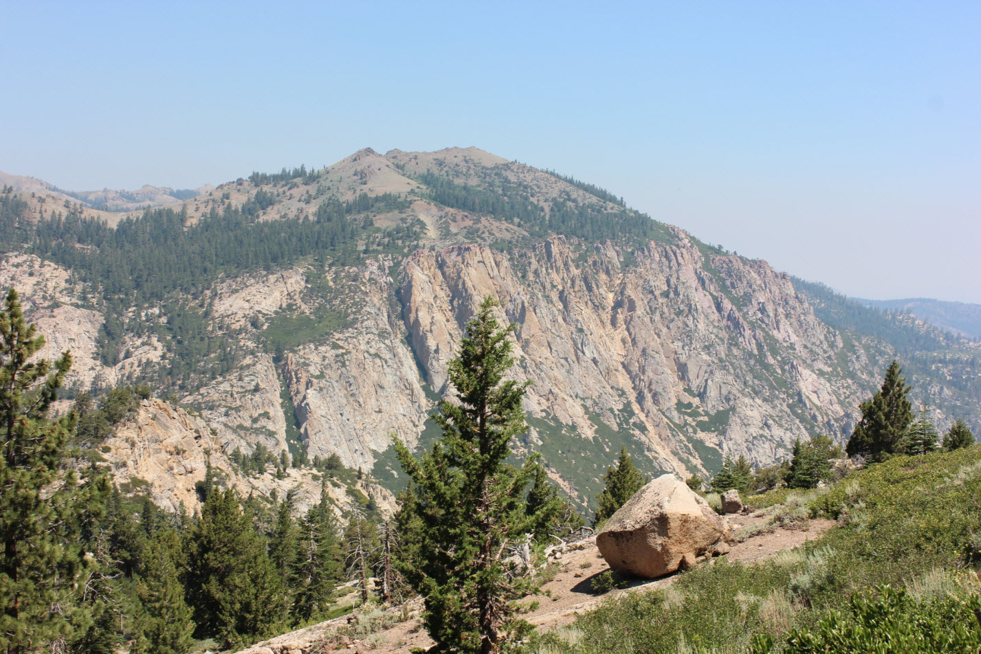
At
the start of the switchbacks which eventually lead up to Raymond Lake
there is a nice overlook of Thornburg Peak and Pleasant Valley down to
the right.
|
 |
|
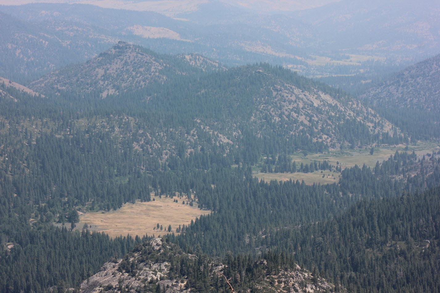
A
lot of smoke in the air today from the Detwyler fire near Mariposa to
the south, but still a great look toward Markleeville in the distance
and Pleasant Valley in the foreground.
|
 |
|
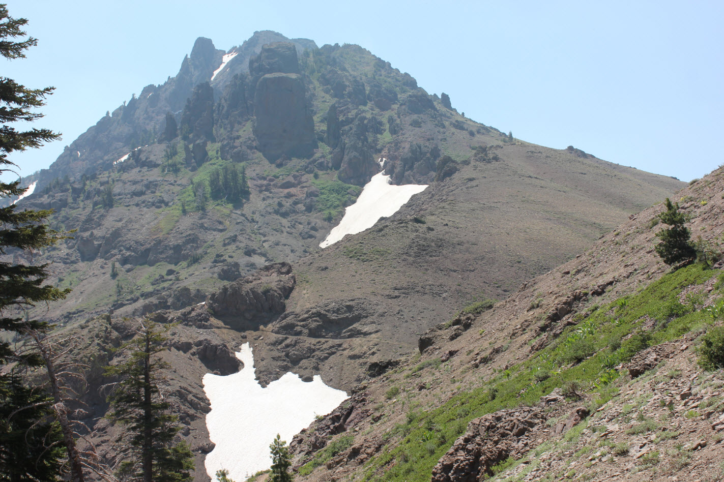
A
look ahead at the PCT where it starts to cut into the mountain below
some of the Raymond Peak area (behind this false summit.)
|
 |
|
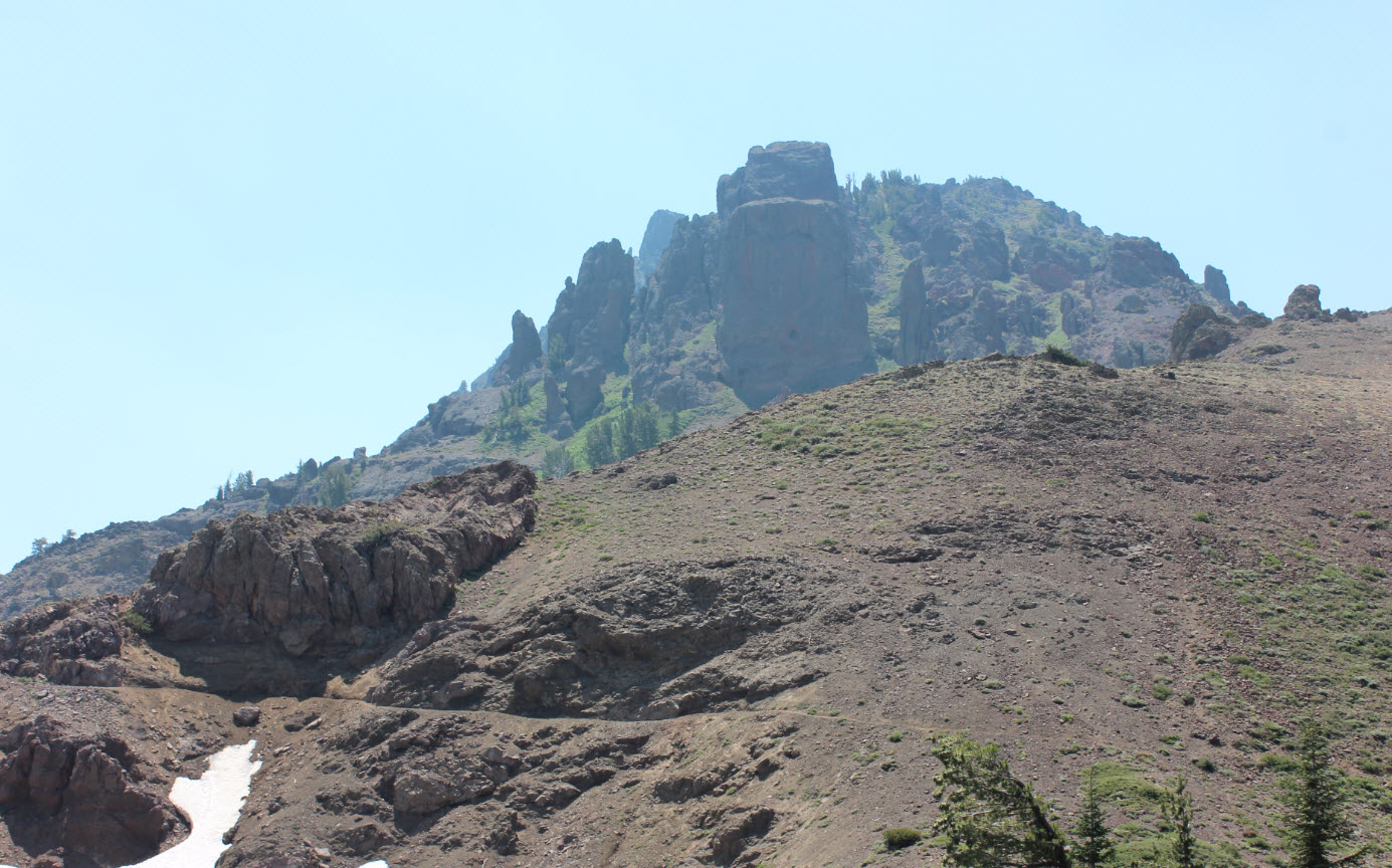
A
closer look at how the trail cuts right into the side of the hill, and
needs to be reworked nearly every year with all of the loose shale and
volcanic rock above it.
|
 |
|
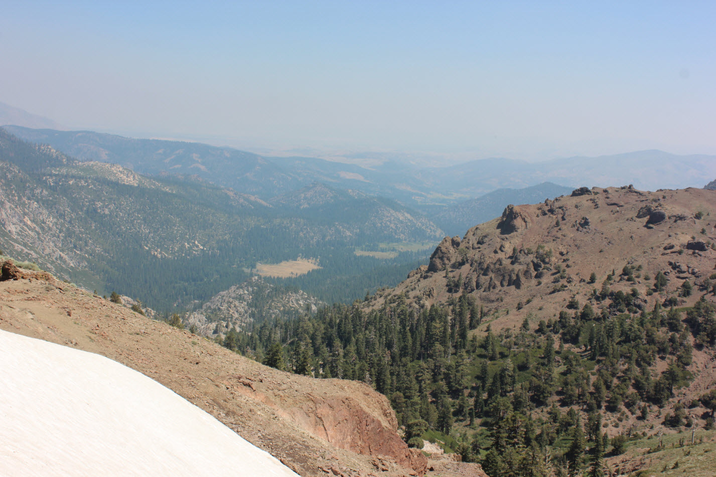
7
plus miles in another look at Pleasant Valley to the east.
This
ended up being my turn-around spot as I was out of time to explore any
further on this trip. Next time I will pick up the trail at
Wet
Meadows to be only about 3 miles in at this point.
|
 |
|
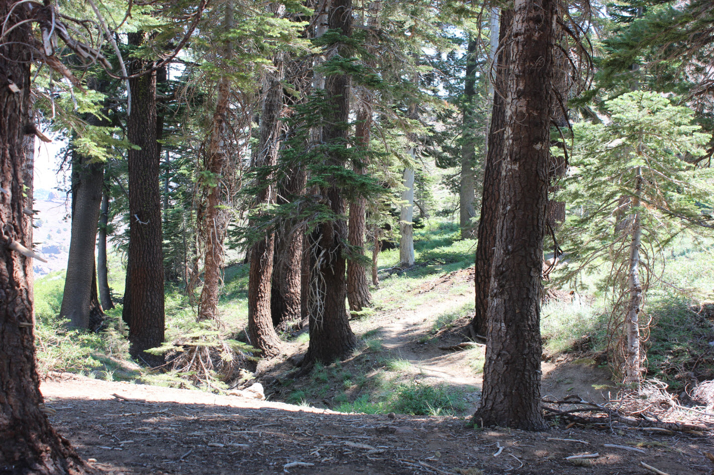
There
is a wonderful lunch spot/camp site just at one of the bends in the
switchbacks in this area. Water is close by provided by the
snowmelt from a large field still around this late into the summer.
|
 |
|
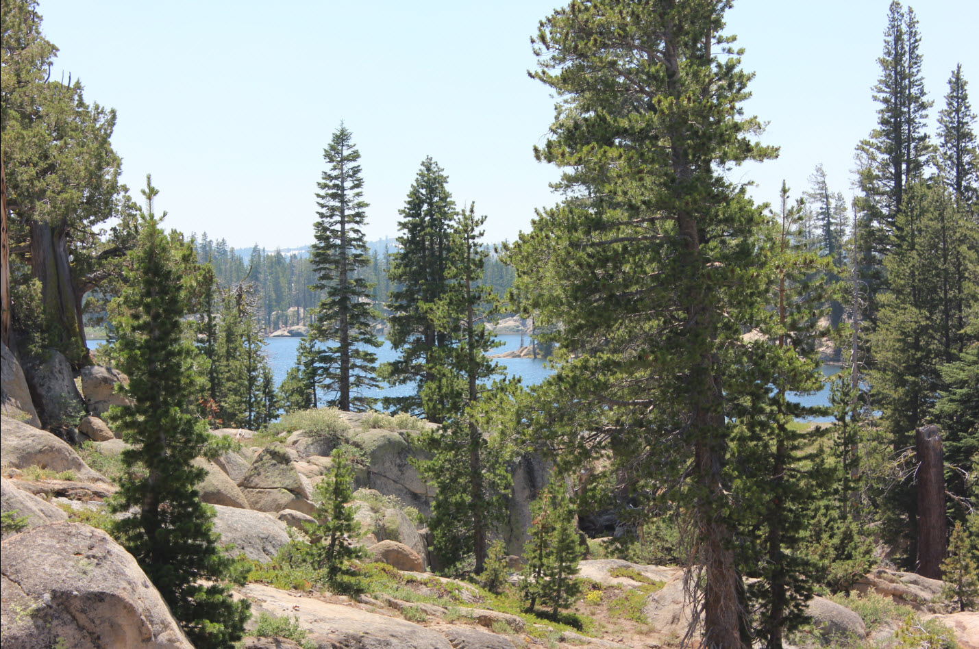
On
the way back I had a nice glimpse of a full Wet Meadows Reservoir from
the trail.
|
 |
|
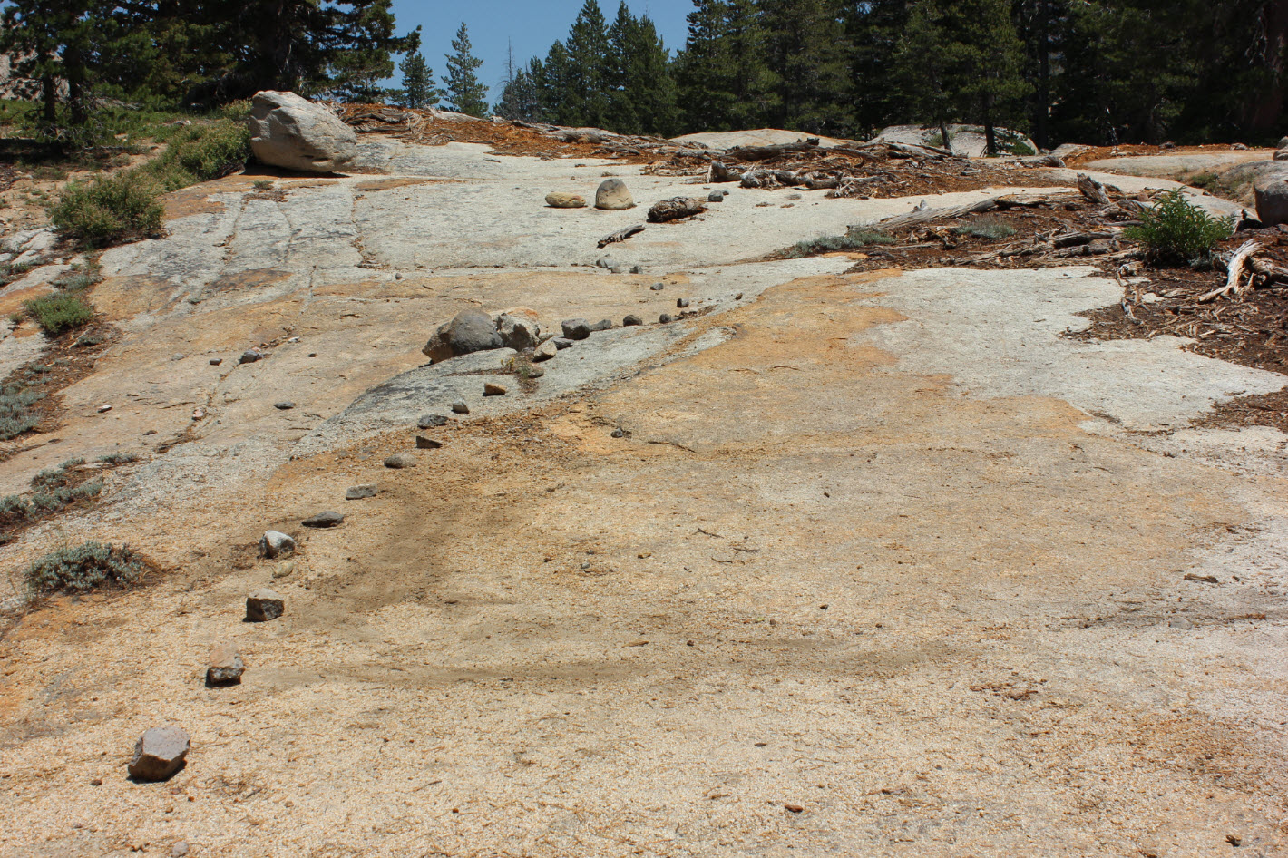
This
was a small exposed section of the PCT on granite that needed some
marking to keep anyone heading south from taking a wrong turn off to
the left.
|
 |
|
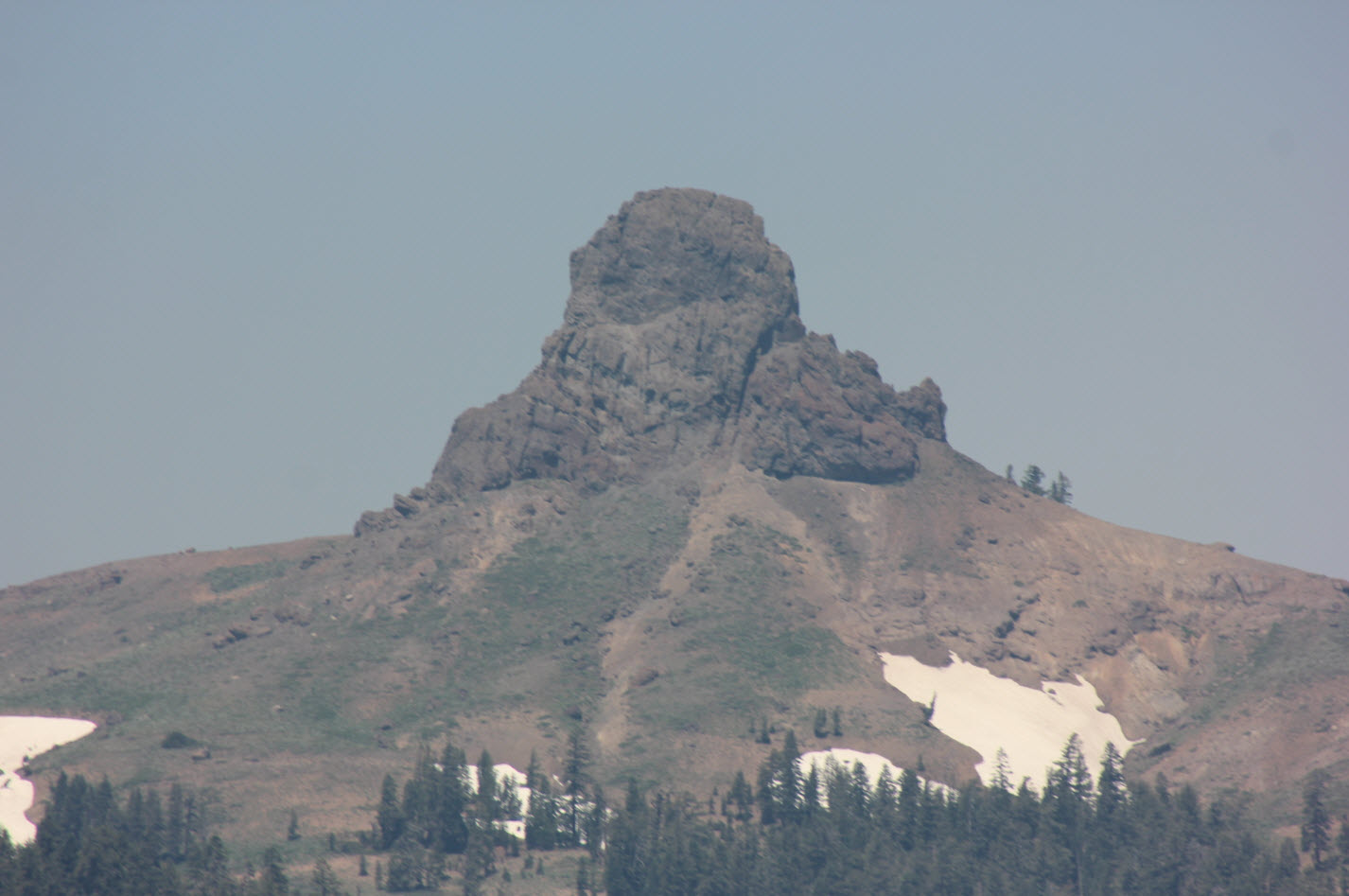
The
volcanic plug that is Jeff Davis Peak is a very distinctive feature
along most of the section of this hike.
|
 |
|
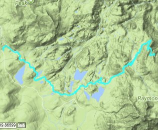
GPS
Track of the full
hike. |
 |


 See video of hike
  GPX
for
this trip

