
|
Raymond
Peak Hike
|
|
Trip Date: 08/26/2016
Distance: 6.8 Miles
Vertical Gain:
1600'
Group Size:
6
Hike Rating: Easy
Moderate
Hard
Strenuous |
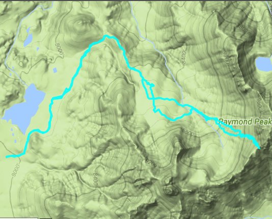
 GPX for
this trip
|
|
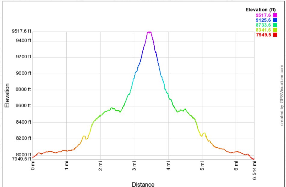
|
Start Coordinates: |
N 38 36.003, W 119 52.188 |
|
End Coordinates: |
Same as Start Coordinates
|
| Car Shuttle
Req'd: |
No |
|
Parking
Directions: |
4WD Required.
Take
Highway 88 to the Blue Lakes Road turn south, just to the west of
Pickett's Junction. Go south on Blue Lakes road 11.5 miles to
the turnoff for the Tamarack Junction trailhead for the Pacific Crest
Trail, otherwise known as Sunset Lake Road. Follow this often
4WD necessary road 3.5 miles to the parking area indicated at the
coordinates, just short of Wet Meadows reservoir. High
clearance vehicles may be able to continue all the way to the Wet
Meadows Trailhead at the southeast end of the lake. |
| Hazards of
Note: |
Access to the trailhead,
route-finding, mosquitos, tics, loose rock
and shale and a tenuous climb up to the peak.
|
|
Crowd Factor: |
Minimal. This is a
remote area of the Mokelumne Wilderness, and the state of the access
roads means that there will be few people at the lake. The
hike itself is nearly all cross country and chances of meeting another
hiker or group are minimal. |
General Notes:
From the trailhead parking, head along the dirt road to the west, which
follows along the south edge of Wet Meadows Reservoir to the trailhead
sign. Wilderness permits are available here, if needed for
overnight stays in the Mokelumne Wilderness. Continue on this
trail for about 1/2 mile to the junction of the Wet Meadows Trail and
the Pacific Crest Trail (PCT.) Turn right, and follow the PCT
up for just about a tenth of a mile. There is a light use
trail off to the right, which heads up a rise toward the south.
Follow this trail for as long as possible, always heading to
the south in the forest. At some point the trail will
disappear, and it is a matter of finding the best way up to the
ridgeline which comes down from the Peak generally to the south.
Once you attain the ridgeline, carefully pick your way up the
volcanic rocks toward the tallest of the three general peaks at the
summit area, where you should find a summit register.
|
|
|
One of our hiking group,
Julia, checking out all of the information available at the Wet Meadows
trailhead kiosk. Note the overnight wilderness permits
available at this location. |
 |
|
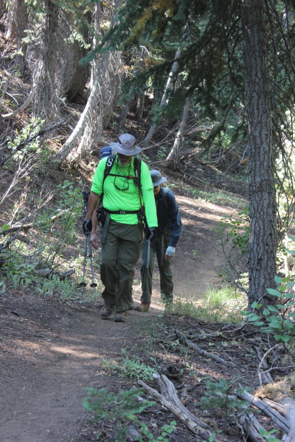
Mark and Greg making their way
up the mostly-dirt Wet Meadows trail. |
 |
|
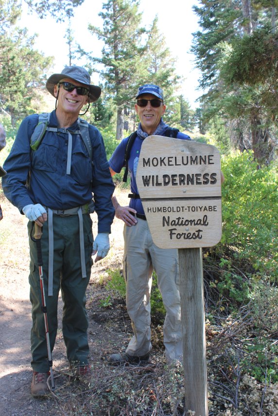
Greg and Karl entering the
wilderness area just as we join up with the Pacific Crest Trail for
approximately .10 of a mile. |
 |
|
After the tenth of a mile on
the PCT, the use trail to the south can be found and followed for a
good mile to the south before it fades out and requires cross country
hiking for the rest of the way to the top. |
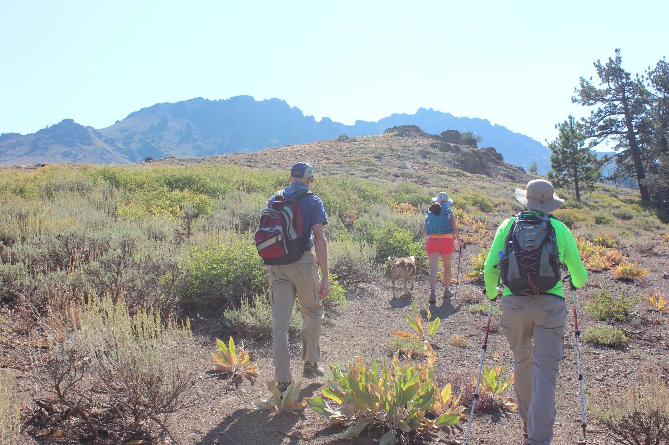 |
|
Our first good look at Raymond
Peak on a day that had some smoke in the air from a few fires burning
to the south of our area. |
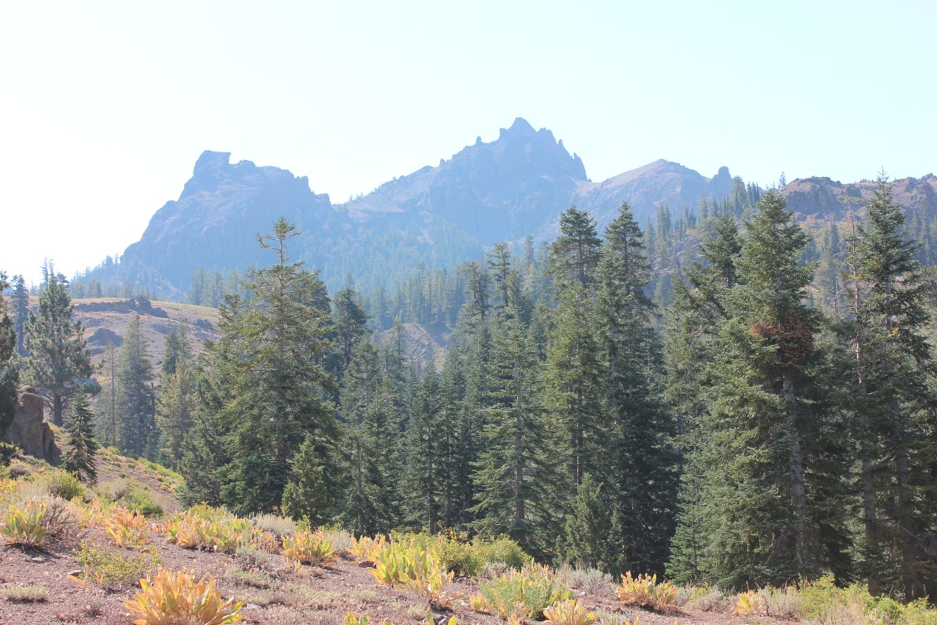 |
|
The trail heads up sharply,
but the views to the north of Alpine County and the distinctive Jeff
Davis Peak in the middle right of the picture. |
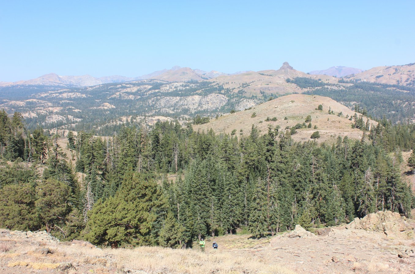 |
|
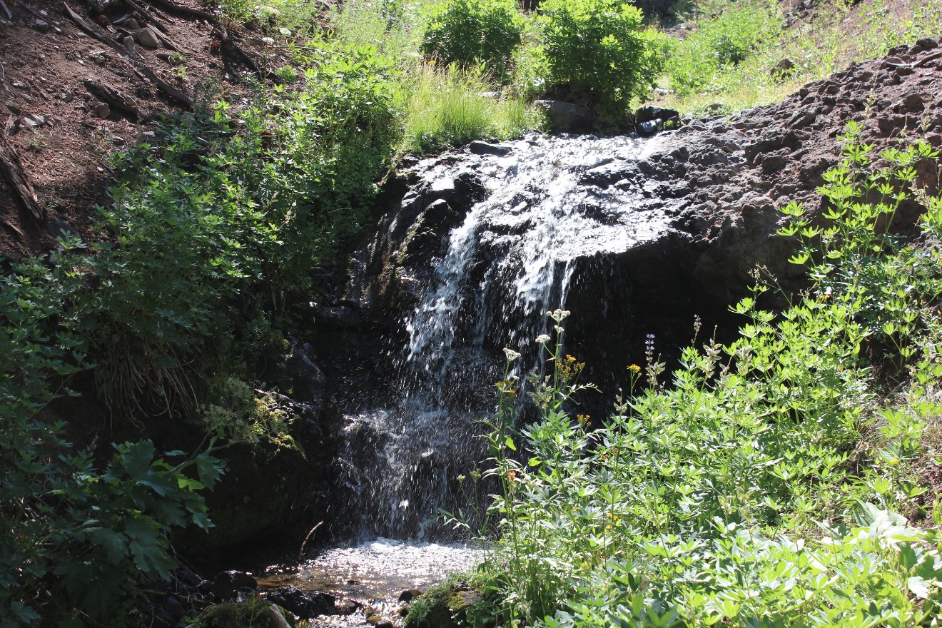
A couple miles into the hike
you will cross a stream which is spring-fed and should be available
year-round. |
 |
|
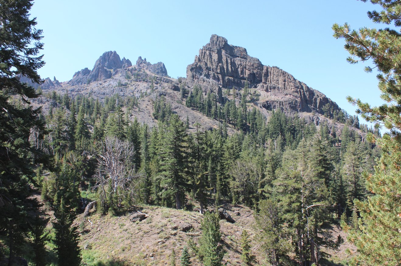
Amazing rock formations abound
in the area, evidence of the volcanic activity which formed much of
this area. |
  |
|
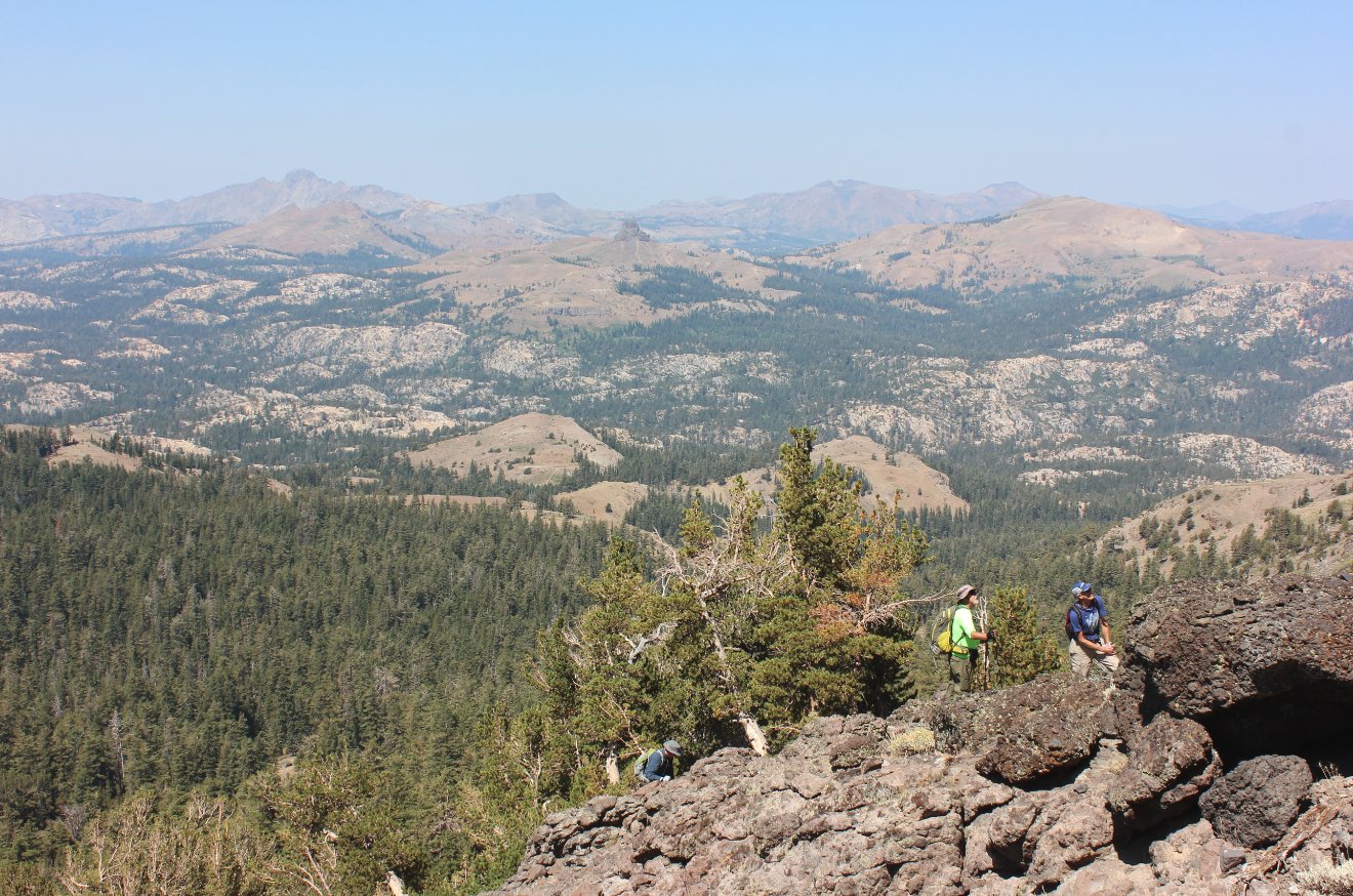
Mark and Karl heading up the
very steep slope, especially as you near the ridgeline. |
 |
|
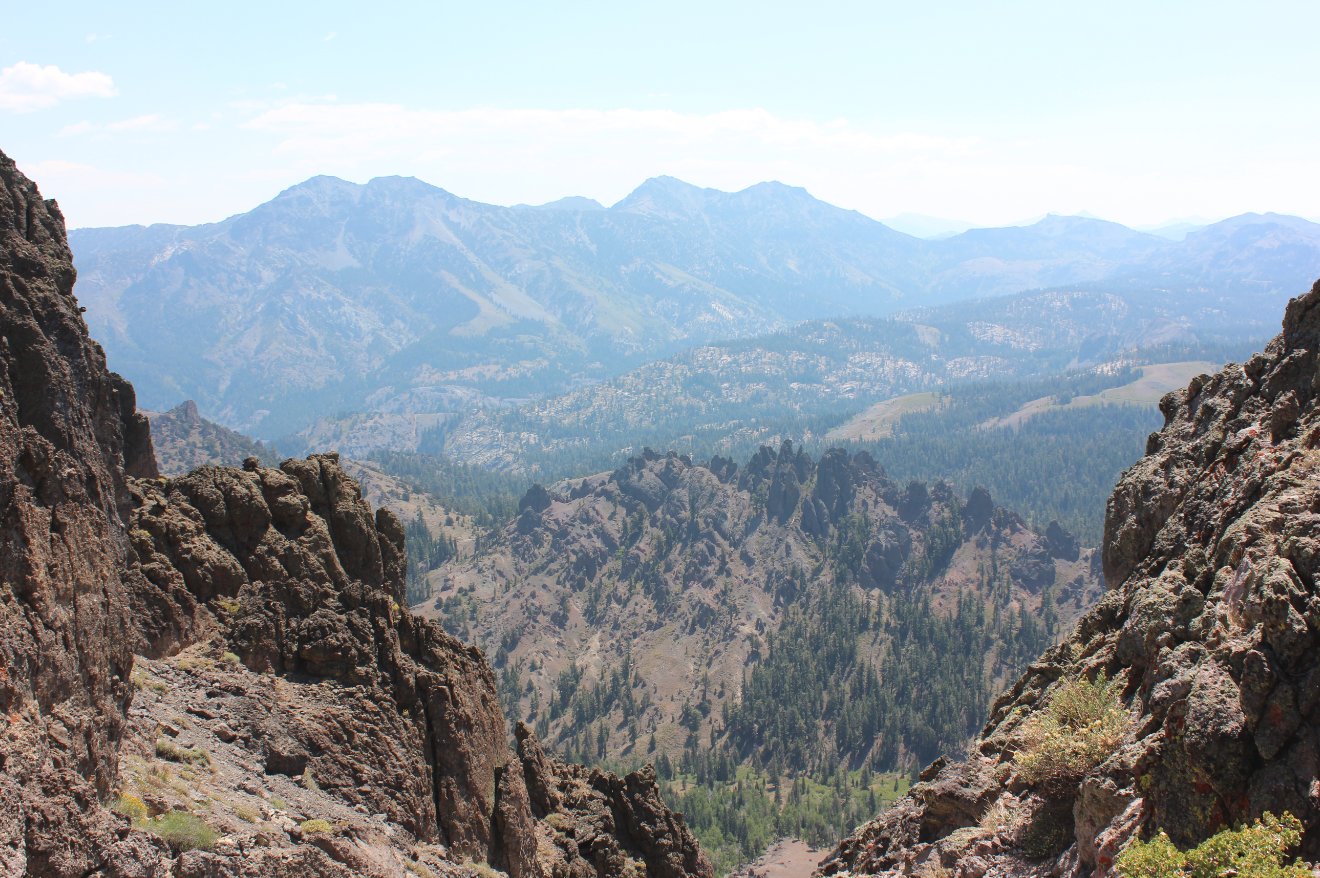
Just
about 3/10 of a mile from the summit is a saddle with amazing views
both to the north and also to the south. The southern view
has
amazing looks all the way down to Ebbet's Pass and even further beyond. |
 |
|
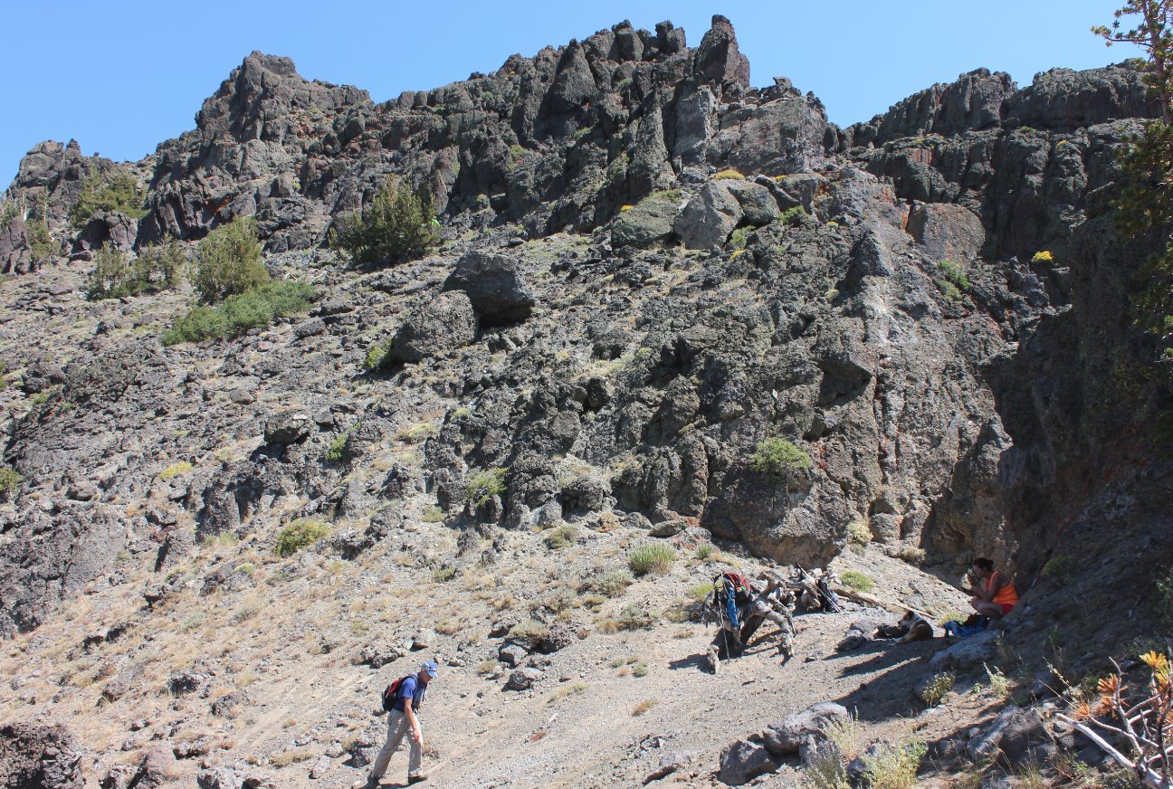
A look to
the south from the saddle, with Reynolds Peak just to the left along
the next ridgeline, and the thumb-like peak above the Kinney Lakes just
visible on the right. |
 |
|
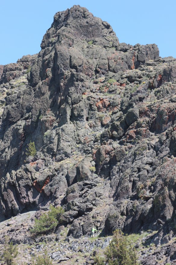
You can
just make out Phil, in bright green making his way up the rest of the
way to the peak. The scale of the mountain, even this close
to
the top is impressive. |
 |
|
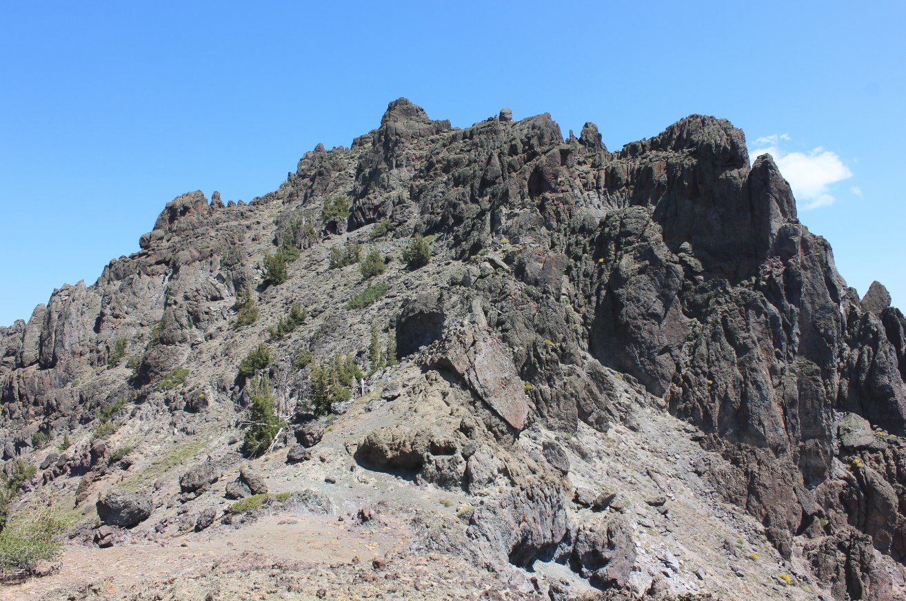
Another look to the top of
Raymond Peak, and the tenuous scramble required to gain the summit from
this side. |
 |
|
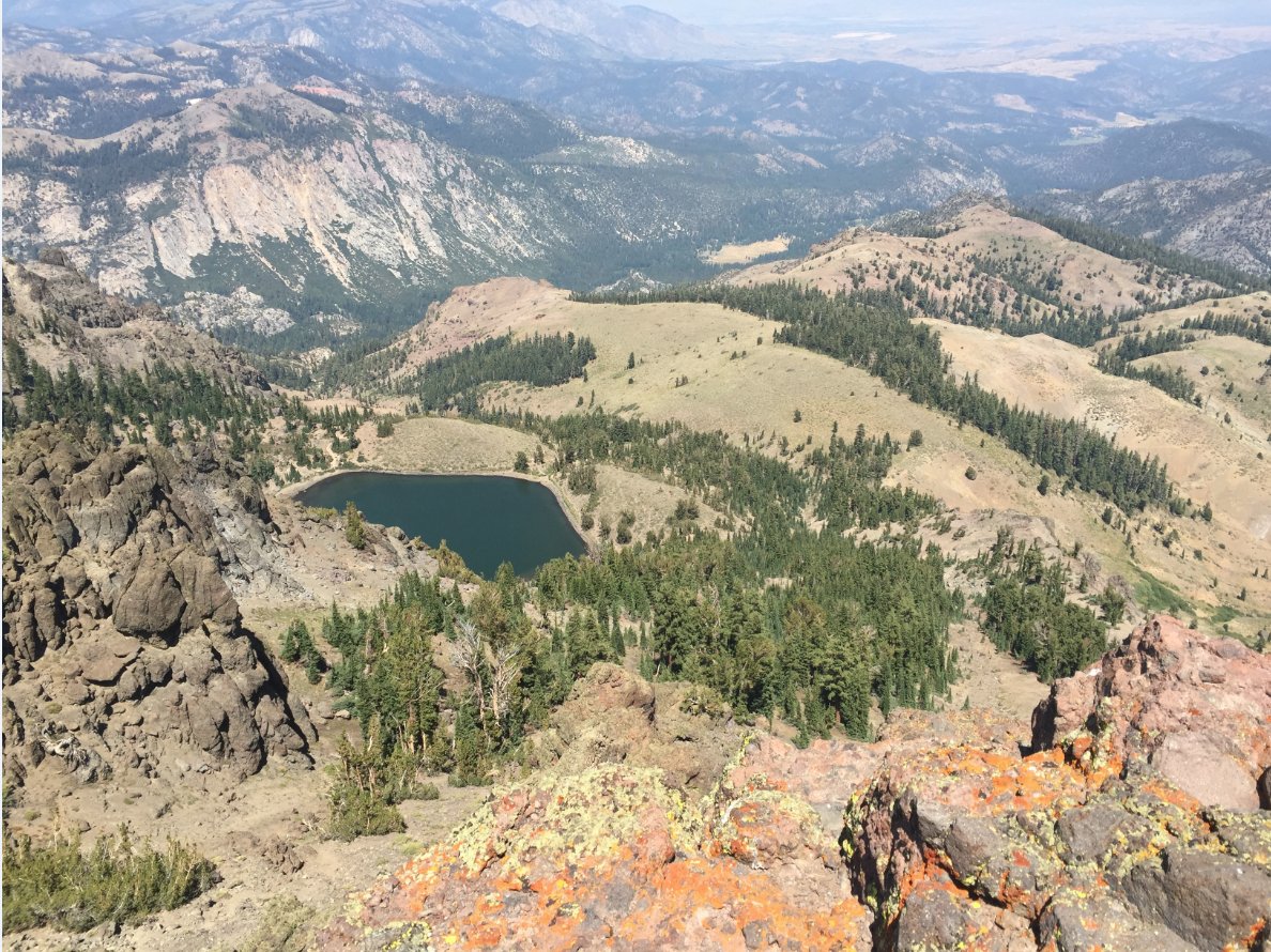
Raymond
Lake is visible from the peak, looking to the northeast. The
Pacific Crest Trail runs just on the other side of the lake as it heads
down to Ebbet's Pass. |
 |
|
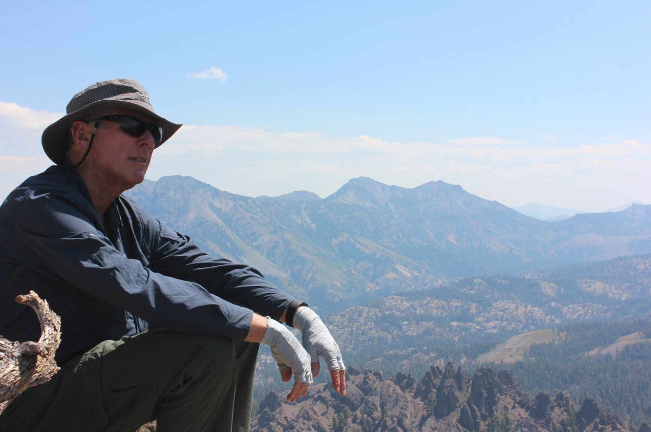
Greg
enjoying the amazing views with Reynold's Peak visible behind him in
the distance. Some have been known to make it to the top of
both
of these peaks in one day, but not the way we went. |
 |
|
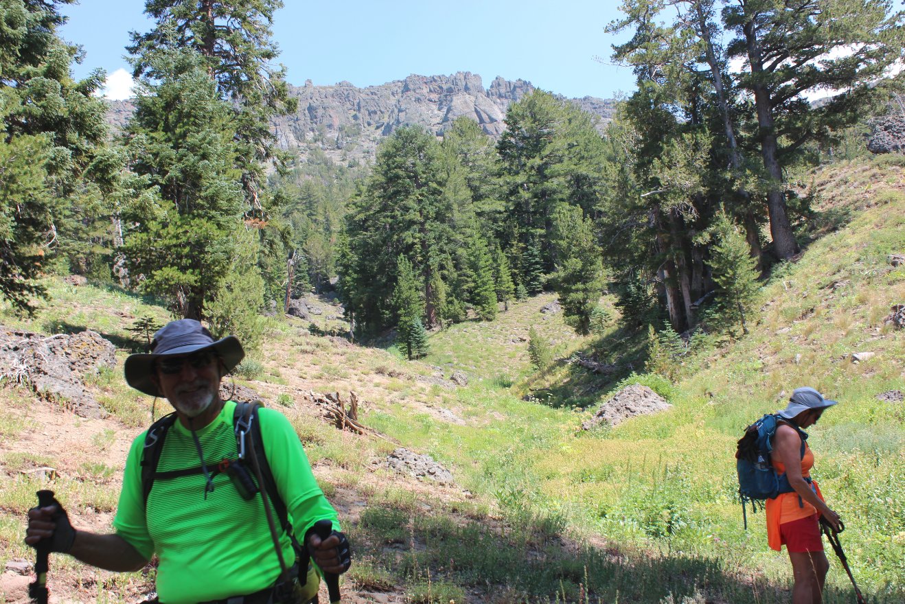
Making our way back down the
mountain, with the jagged terrain of the ridgeline visible in the
distance far above. |
 |
|
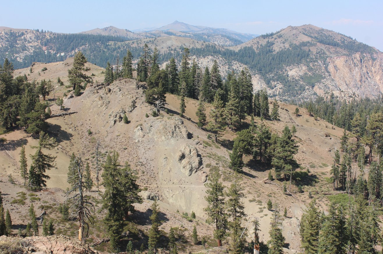
On the way down we could make
out a section of the PCT which heads toward Raymond Lake and Ebbet's
Pass. |
 |
|
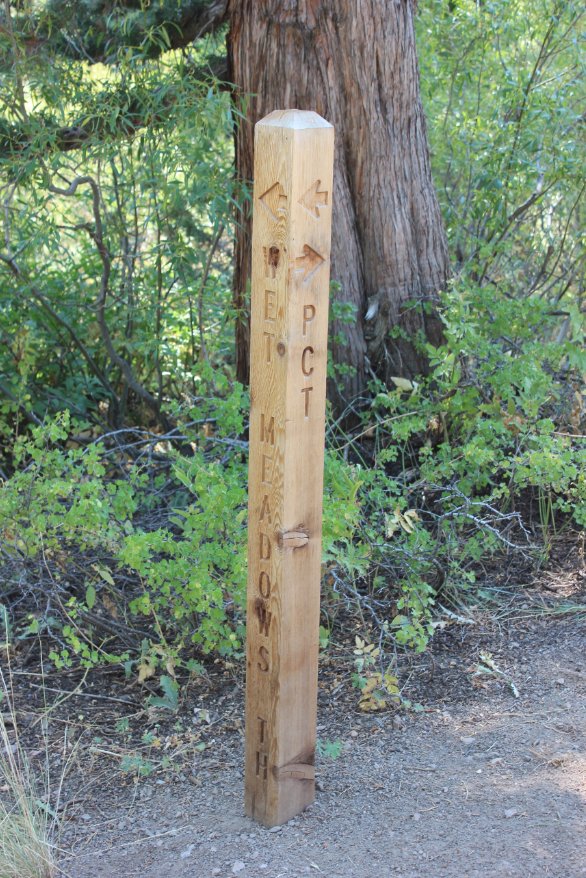
The trail marker indicating
the junction of the PCT with Wet Meadows trail. |
 |
|
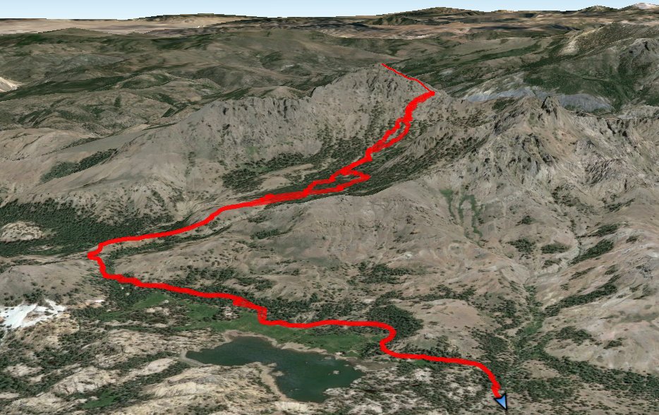
GPS Track of the full
hike. |
|


 GPX for
this trip

