Distance: 11.6 Miles
Vertical Gain: 2230'
Group Size: 4
Hike Rating: Easy Moderate Hard Strenuous
 GPX
for
this trip
GPX
for
this trip 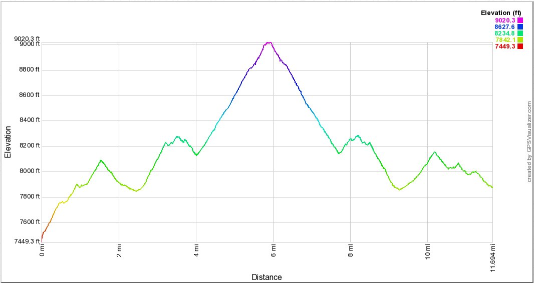
| Start Coordinates: | N 38 36.369 W 119 52.609 |
End Coordinates: | Same as Start Coordinates | ||
| Car Shuttle Req'd: | No | Parking Directions: | 4WD Required. Take Highway 88 to the Blue Lakes Road turn south, just to the west of Pickett's Junction. Go south on Blue Lakes road 11.5 miles to the turnoff for the Tamarack Junction trailhead for the Pacific Crest Trail, otherwise known as Sunset Lake Road. Follow this often 4WD necessary road 3.5 miles to the parking area indicated at the coordinates, just short of Sunset Reservoir. When you get to a T intersection about 1/2 before the coordinates, turn left to head to Sunset. Heading right will take you to Wet Meadows reservoir, and an alternate trailhead for the same hike. | ||
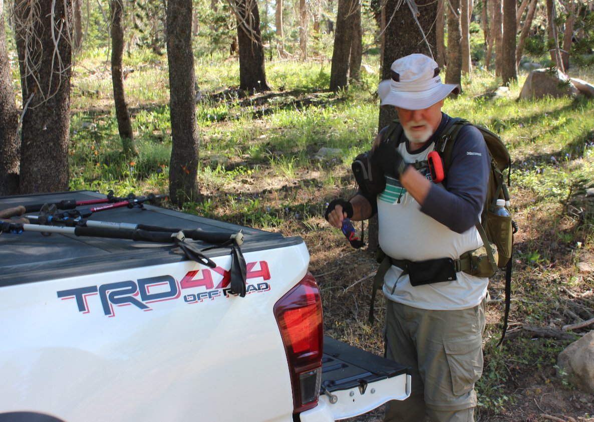
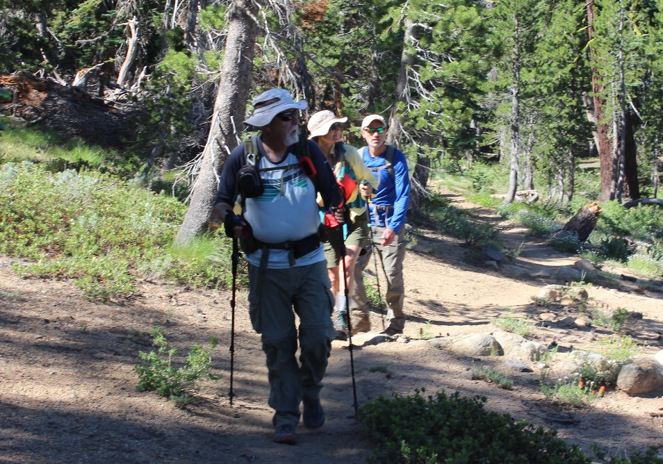
| Hazards of Note: | Access to the trailhead, route-finding, mosquitos, tics, loose rock and shale and a tenuous climb up to the peak. | Crowd Factor: | Moderate. Most of this trail is along the Pacific Crest Trail section J, and you will most likely run into a few PCT through-hikers on most days. Raymond Lake is also a popular fishing spot, and you will potentially see a number of anglers at the lake, especially near the weekends. | ||
| General
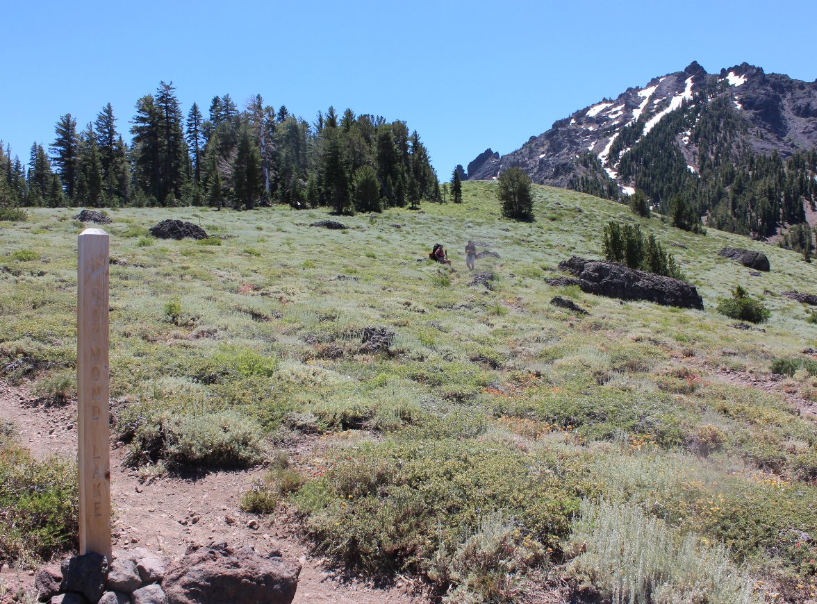
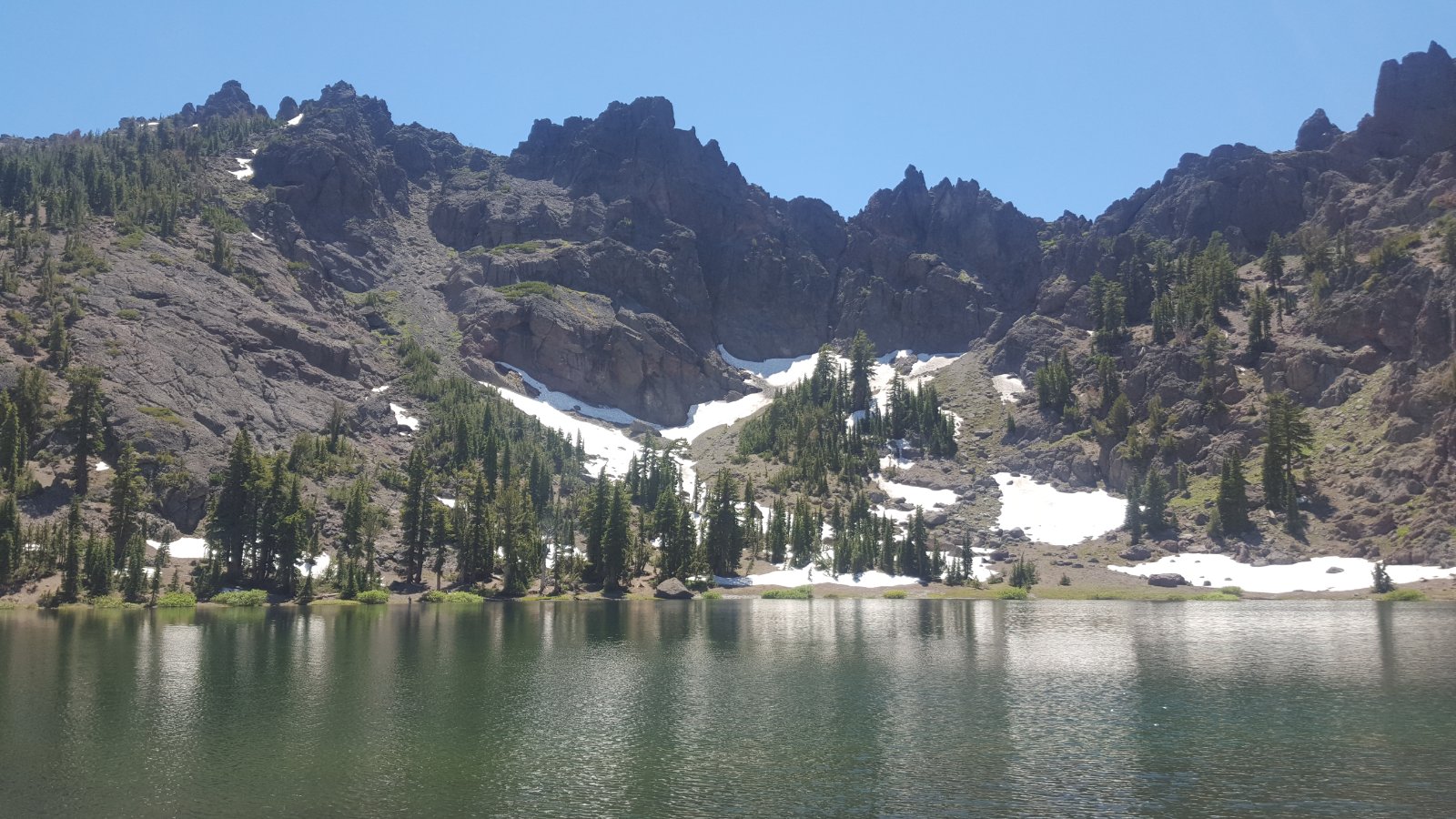
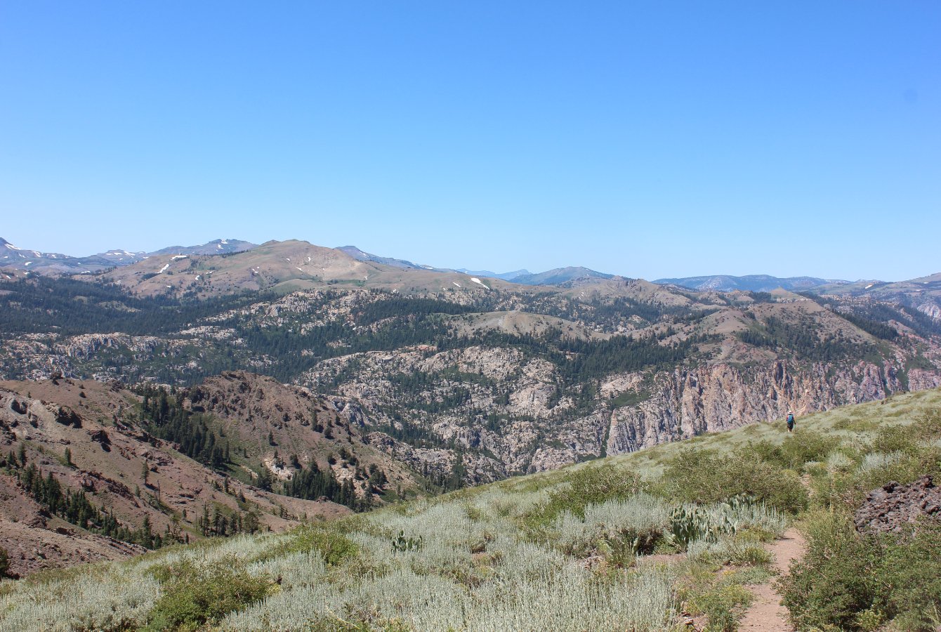
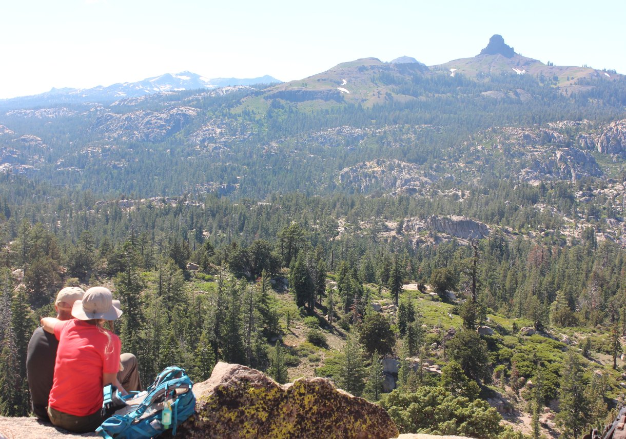
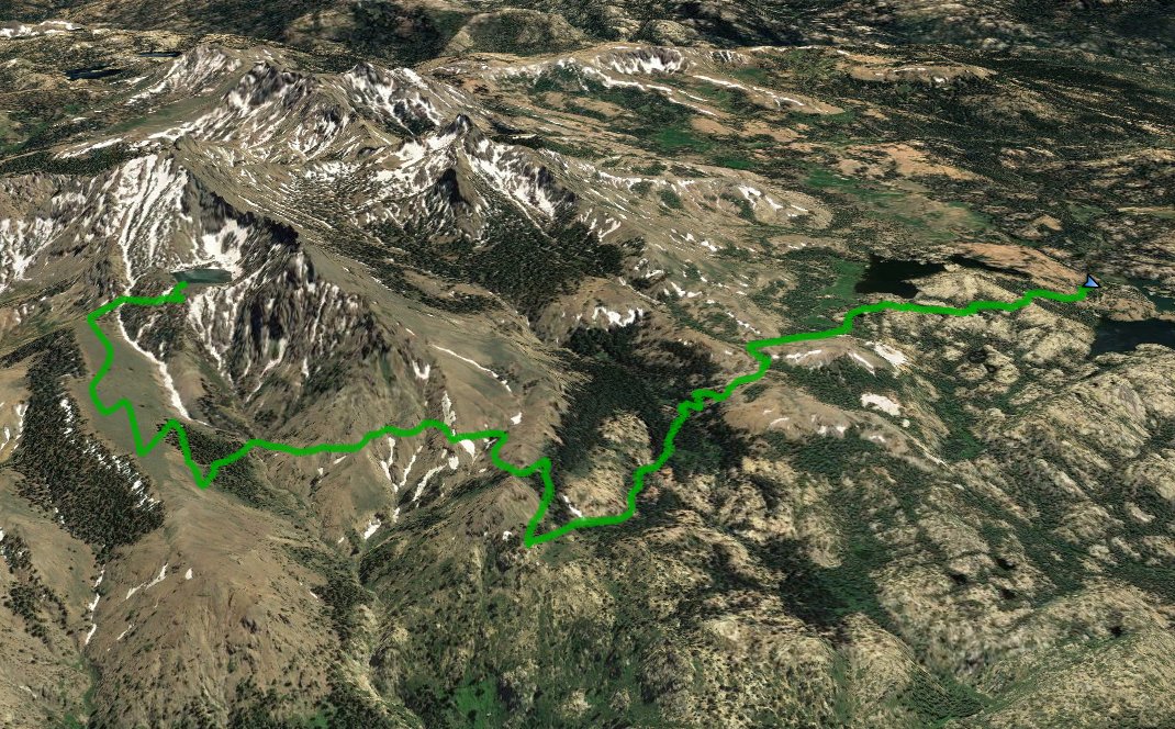
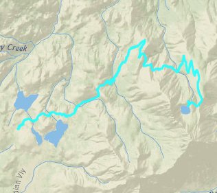
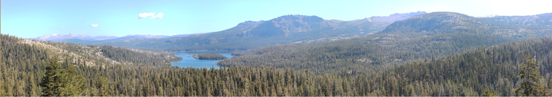
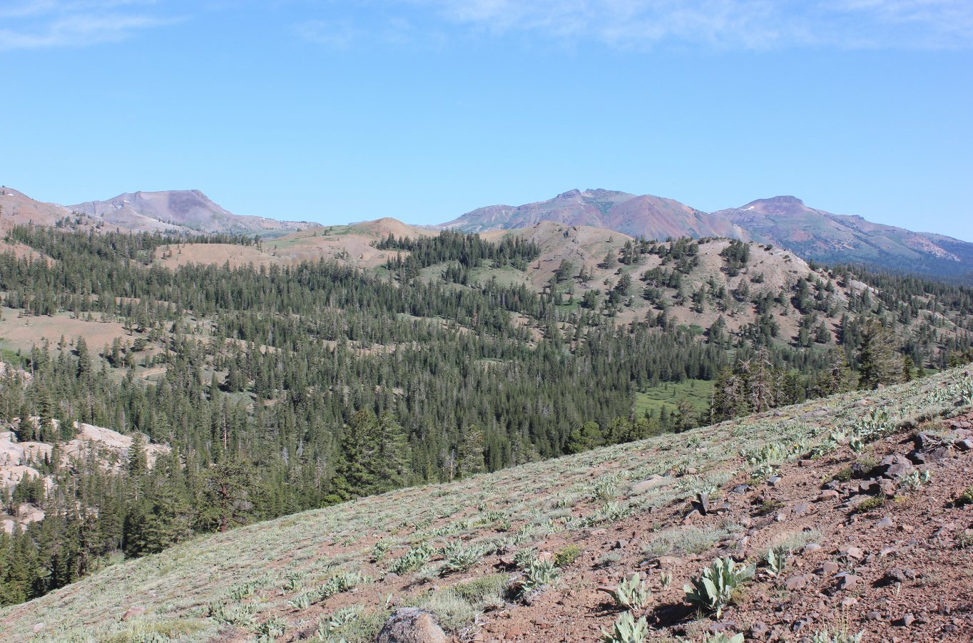
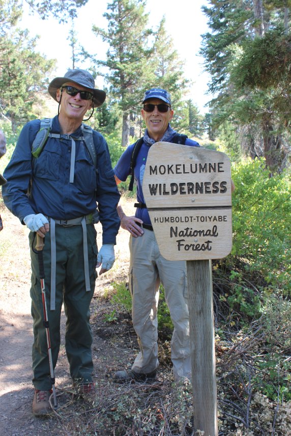
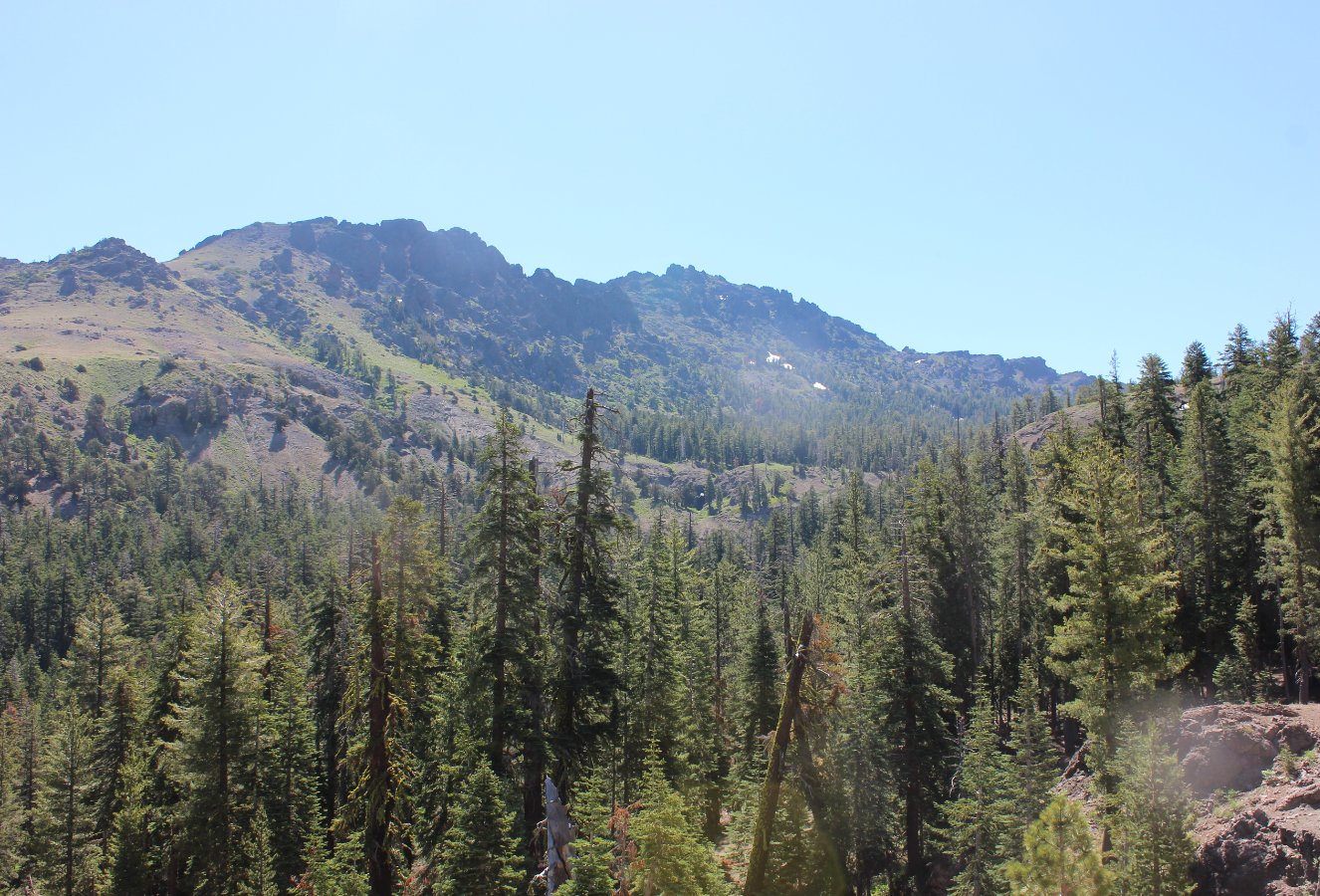
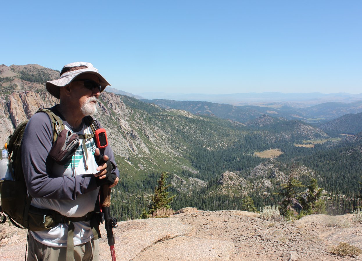
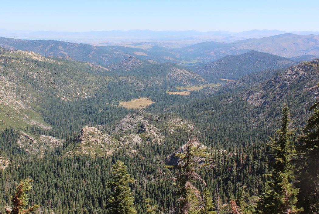
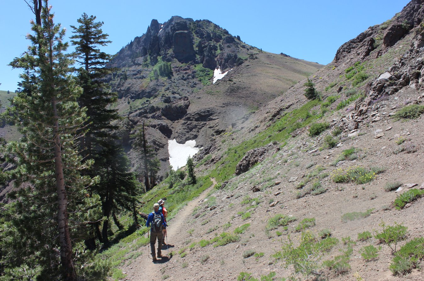
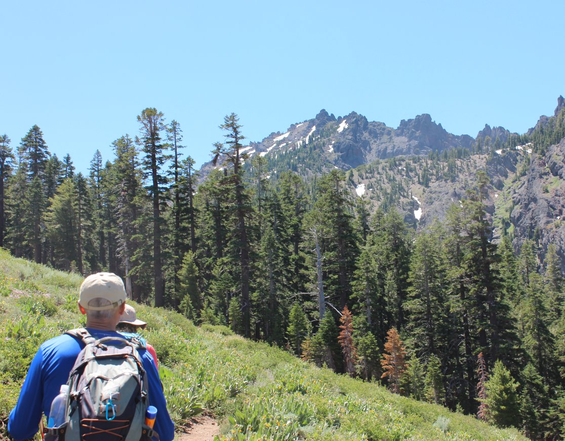
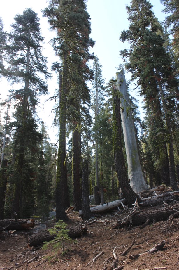
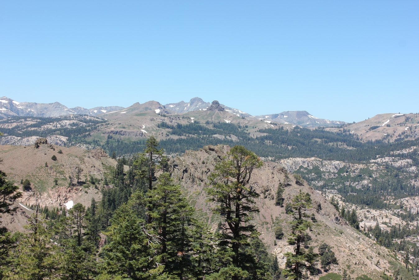
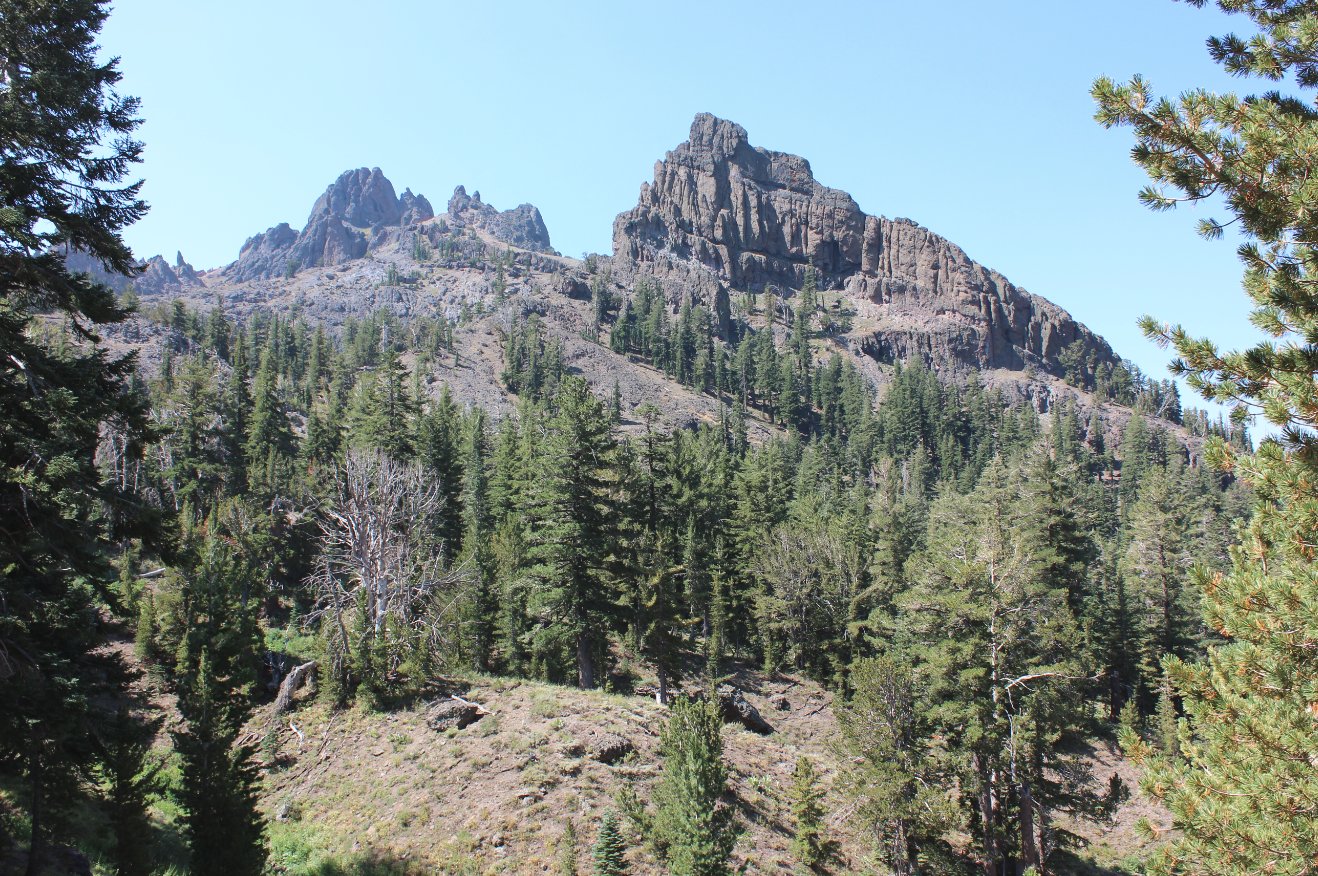
Notes: At the parking location indicated by the coordinates above, the Pacific Crest trail is just about 20 feet south of your location. Pick up the trail and head east. You will see Sunset Reservoir on your left through the trees as you begin, and about 1/2 mile further you will see glimpses of Wet Meadows reservoir on your right. Much of the first part of this trail heads through forested cover, with a few easy creek crossings to navigate on the way. When you reach the signed trail junction with Wet Meadows trail, head to the left, and within 500 feet you will cross into the Mokelumne Wilderness at a signed boundary. After a short climb the trail will emerge out into an open area with loose granite as the trail base, and the western ridge of Raymond Peak and its ridgeline is clearly visible to the south. The trail will continue due east for another mile, until you reach a fantastic overlook spot right at a switchback turn. This location has a clear view of Pleasant Valley below, Markleeville further to the east, and much of the northern area and peaks in the Mokelumne Wilderness to the northwest and west. From here the trail begins to climb, and you will soon begin climbing up the eastern flank of the Raymond Peak ridgeline. This section is cut right into the side of the mountain, and is spectacular. Switchbacks continue, many out in the open with sweeping views all around you as you head toward the lake. At the signed junction for Raymond Lake head to the right, and you will still have another 4/5 of a mile of switchbacking to go to the lake. It almost felt like an amusement park line where you kept going back and forth not realizing how far you still had to go. |
|||||