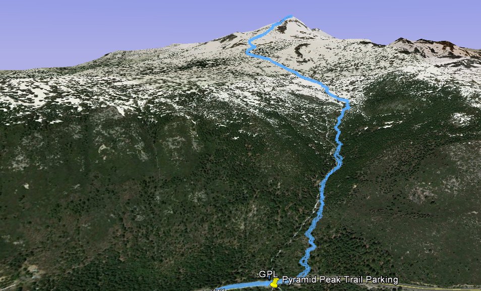
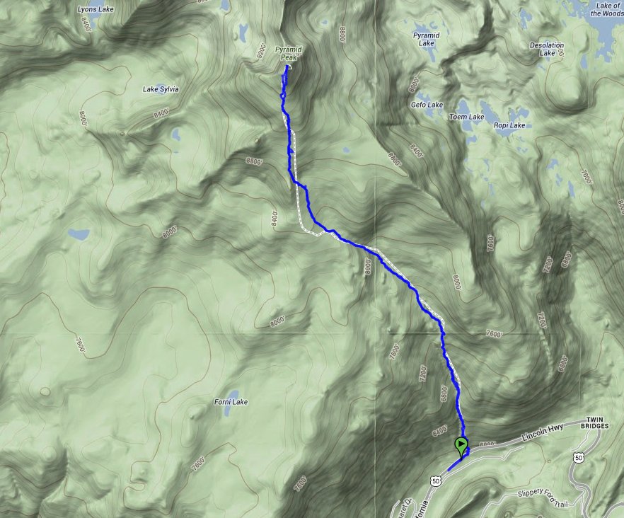
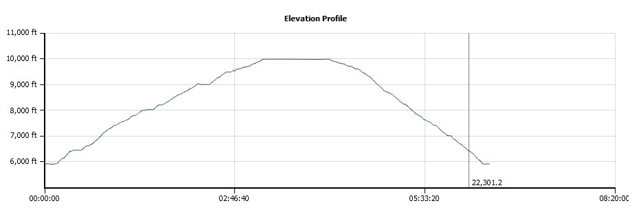
Distance: 7.5 Miles
Vertical Gain: 4100'
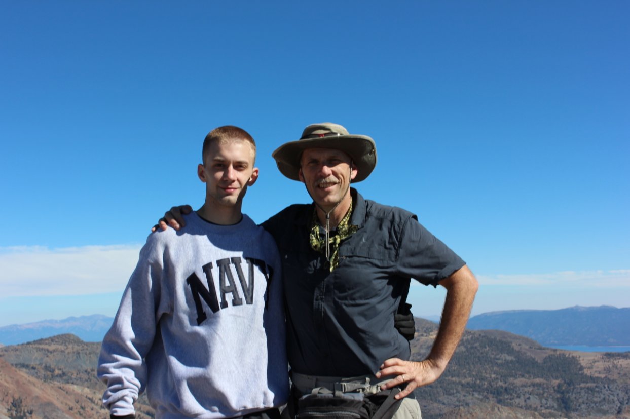
Group Size: 2
Hike Rating: Easy Moderate Hard Strenuous
 See
video of hike
See
video of hike
 GPX
for
this trip
GPX
for
this trip
| Start Coordinates: | N 38 48.465, W 120 08.214 | End Coordinates: | Same as Start Coordinates | ||
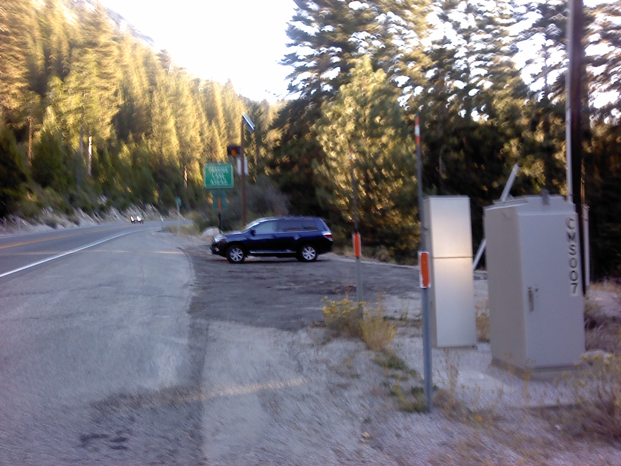
| Car Shuttle Req'd: | No | Parking Directions: | Take Highway 50 to the parking coordinates just east of the town of Strawberry. The actual parking spot has room for about three cars immediately to the east of an electronic freeway sign on the south side of the road. | ||
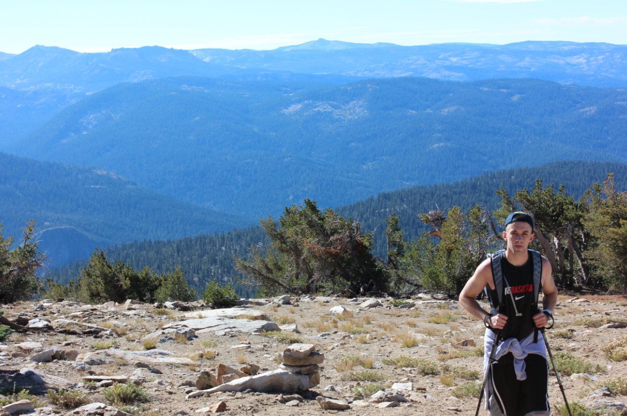
| Hazards of Note: | This entire hike is cross country. Finding the trail head from highway 50 is a little difficult. The trailhead is located on the north side at N 38 48.513, W 120 08.157. | Crowd Factor: | Minimal. This is a quick way to the top of Pyramid but very challenging and not for the inexperienced. | ||
| General
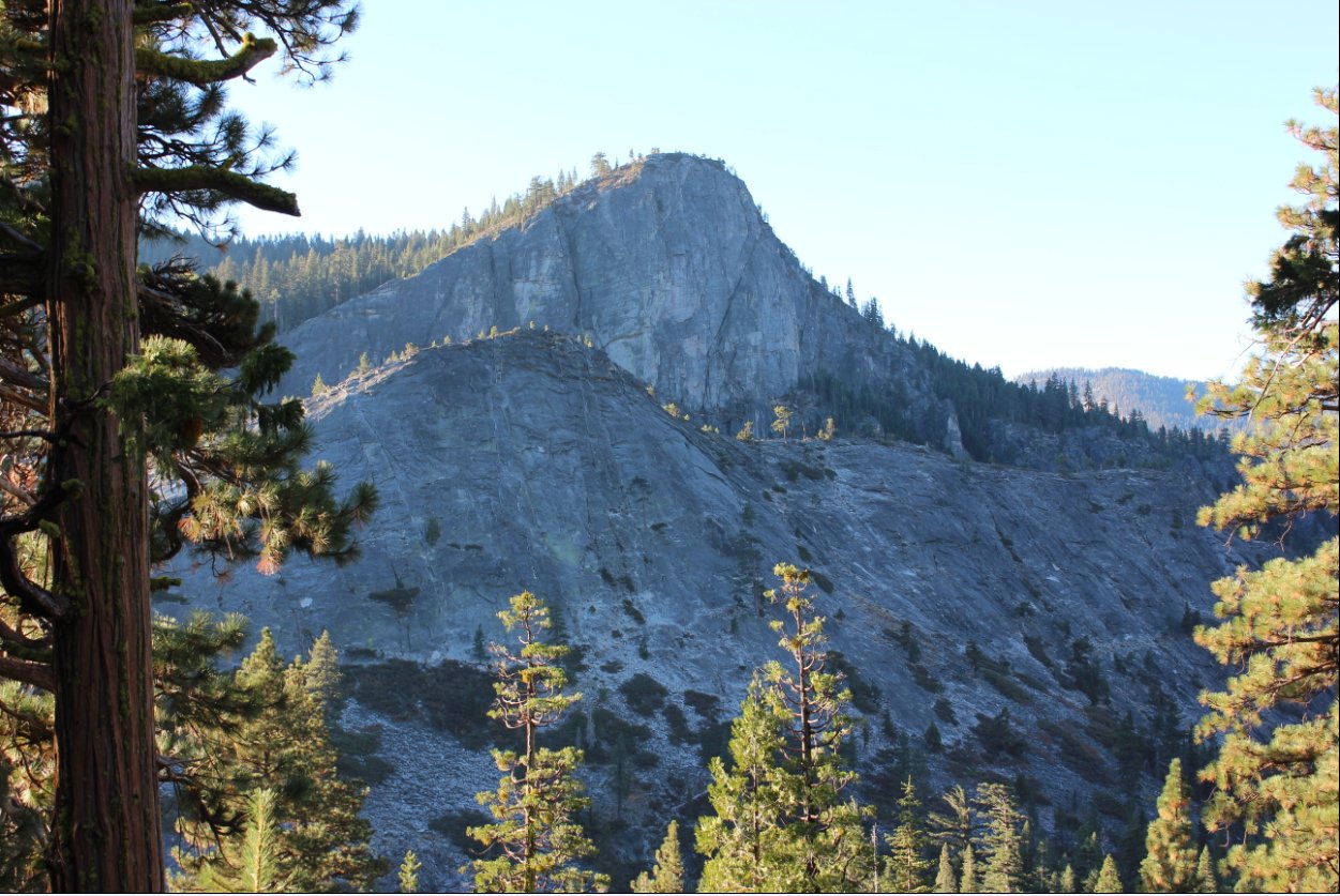
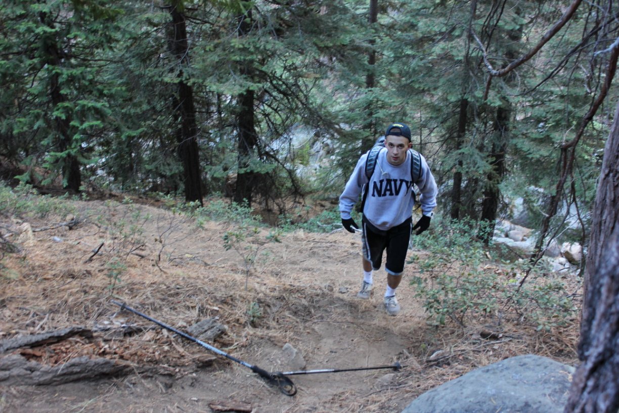
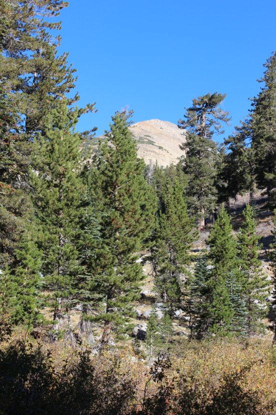
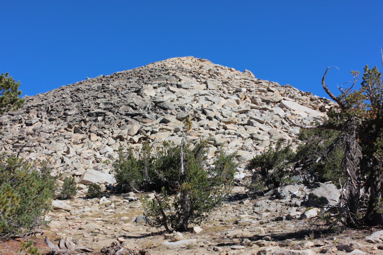
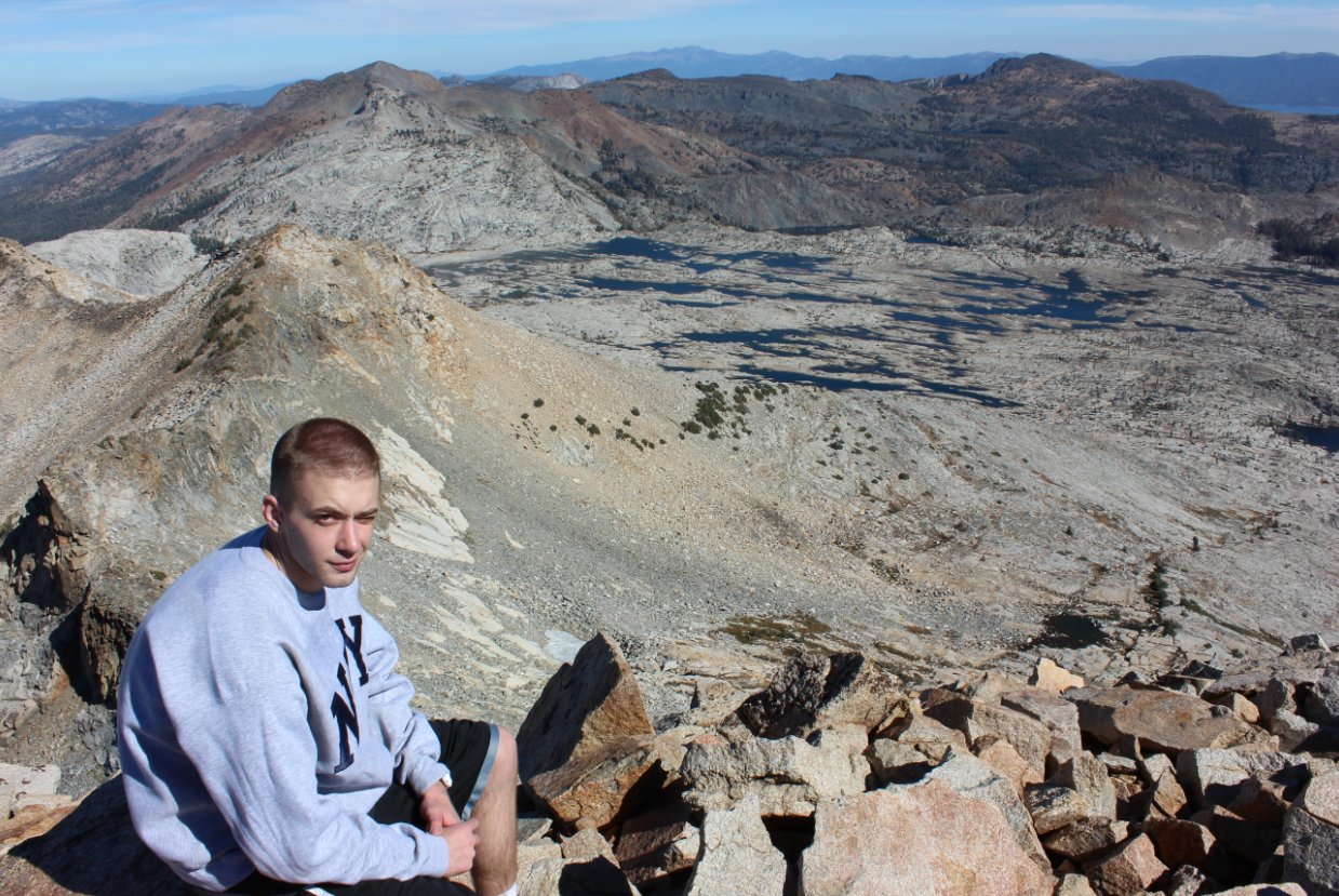
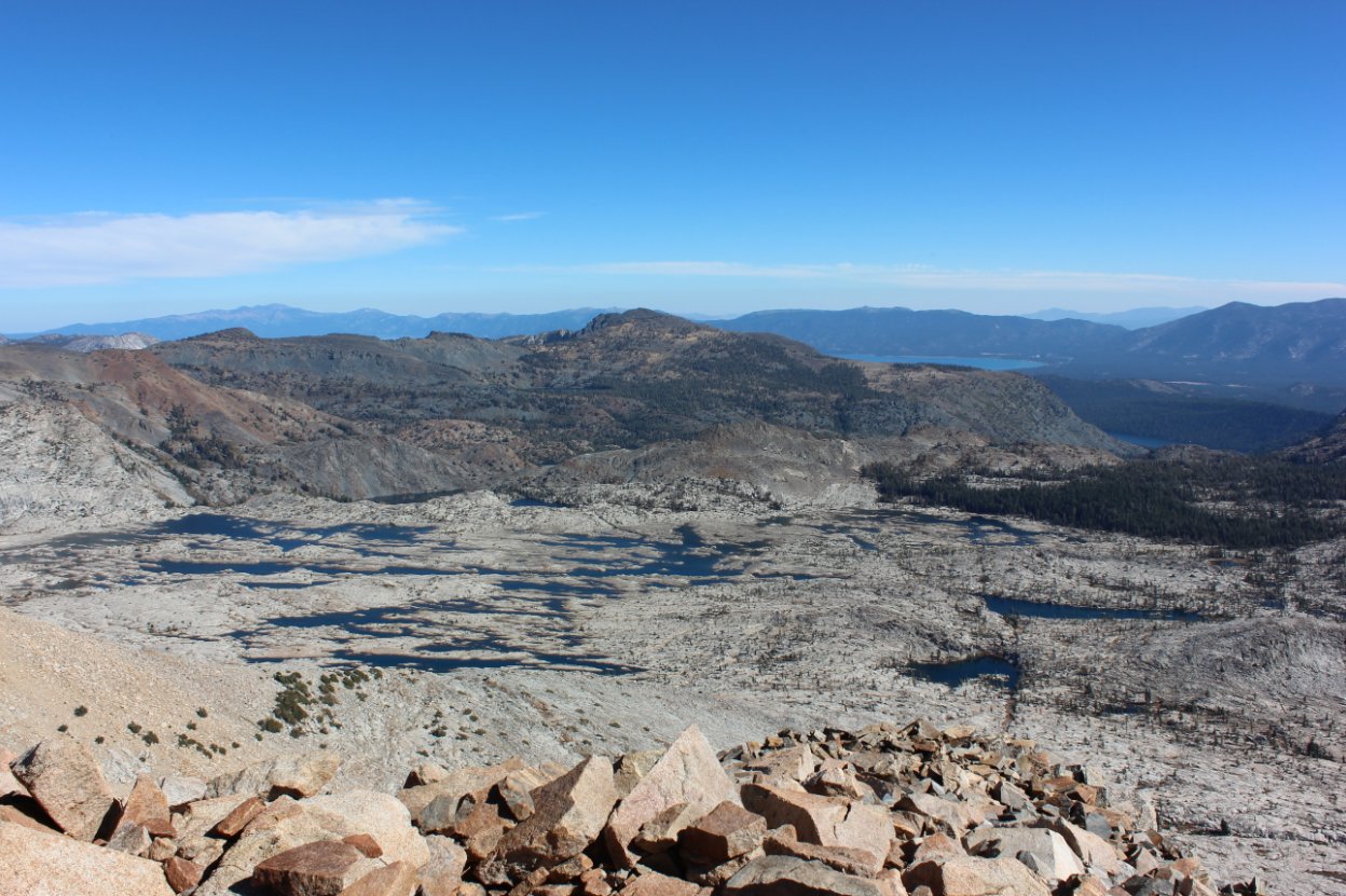
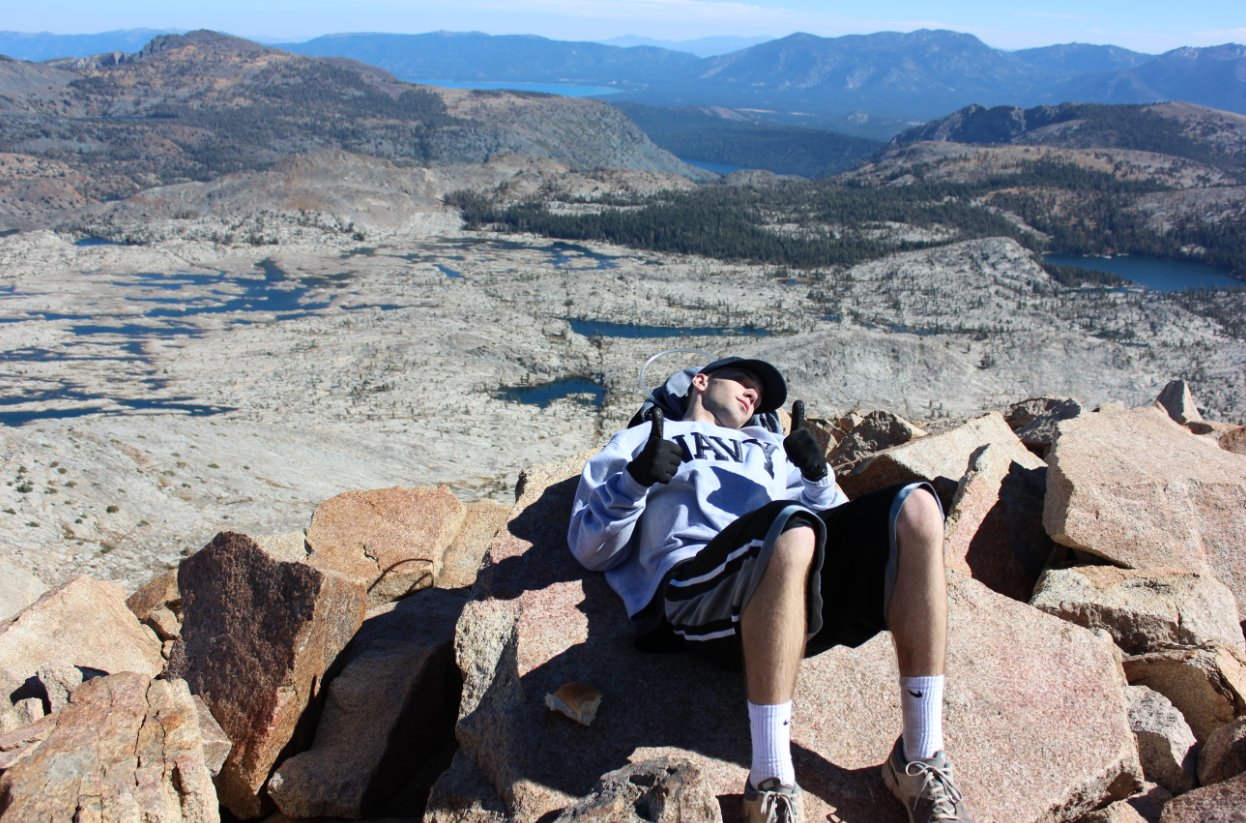
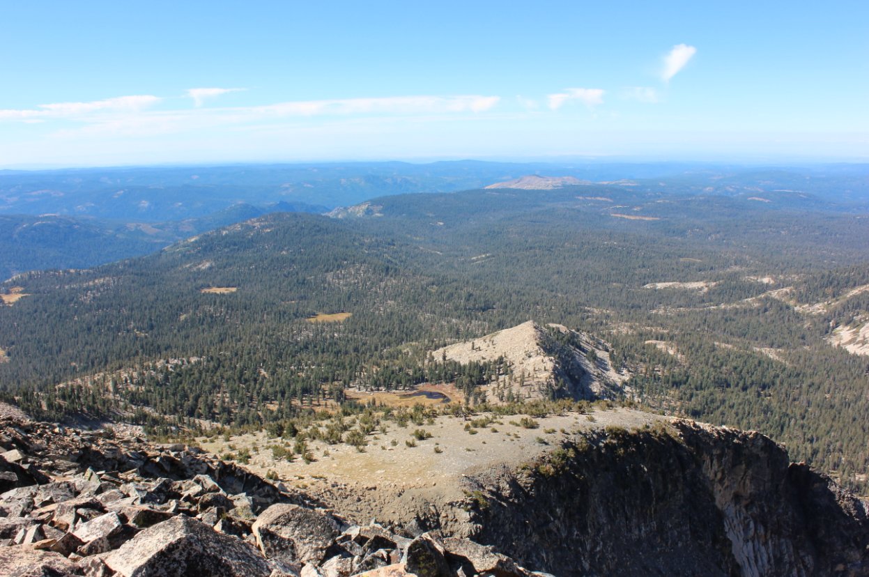
Notes: From the parking area, walk east to the highway bridge and cross highway 50 when it is clear and safe. Find the use trail beginning at the coordinates N 38 48.513, W 120 08.157, and head up this use trail through Rocky Canyon for the rest of the trip. It is not an official trail, but easy to navigate. The only issue is the lack of any type of switchbacks and it just climbs straight up the side of the mountain. Near the top the trail ends at the large granite boulders, which you will have to scramble up to attain the peak. Since this is a hike into Desolation Wilderness, you will need a day permit (closest trailhead is at Pyramid Creek a mile east up the road) and the group size limit is 12. |
|||||