|
|
Pony
Express Trail to Sugarloaf hike
|
|
Trip Date: 05/02/2014
Distance: 8.6 Miles
Vertical Gain:
1600'
Group Size:
5
Hike Rating: Easy
Moderate
Hard
Strenuous |
 GPX for
this trip
GPX for
this trip
|
|
|
Start Coordinates: |
N 38 47.208, W 120 12.564 |
|
End Coordinates: |
N 38 45.967, W 120 19.114 |
| Car Shuttle
Req'd: |
Yes |
|
Parking
Directions: |
Take
Highway 50 to Wrights Road. Head up about a mile and park
along
the road near the start coordinates to pick up the Pony Express Trail.
Leave a second car at the end of the hike near those
coordinates,
which is in a wide turnout along Highway 50 just about 100 yards west
of the Silverfork Store on the same side of the road. |
| Hazards of
Note: |
None. |
|
Crowd Factor: |
Minimal.
Even on a busy weekend this area is infrequently visited. |
General Notes:
From
the parking area on the side of the road, head west and find the Pony
Express Trail (marked "XP" along the way) and follow it through the
forest the entire way. The forest will open up into a more
open
area a few miles in, and near the end take a short side trip to the
north to visit and explore around the Sugarloaf Mountain Rock formation. |
|
|
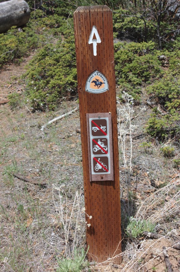
One of the main trail markers
along the route. There were also many "XP" symbols as well on
the trees marking the "pony eXPress" route. |
 |
|
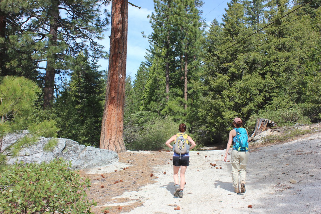
Two of our group heading out
through the first half, highly forested section of the trip. |
 |
|
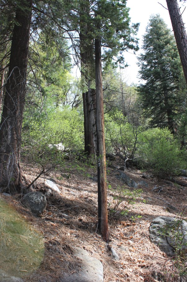
There are a number of the old
telegraph poles lining the trail, each marked with a mile and partial
mile number on them. |
 |
|
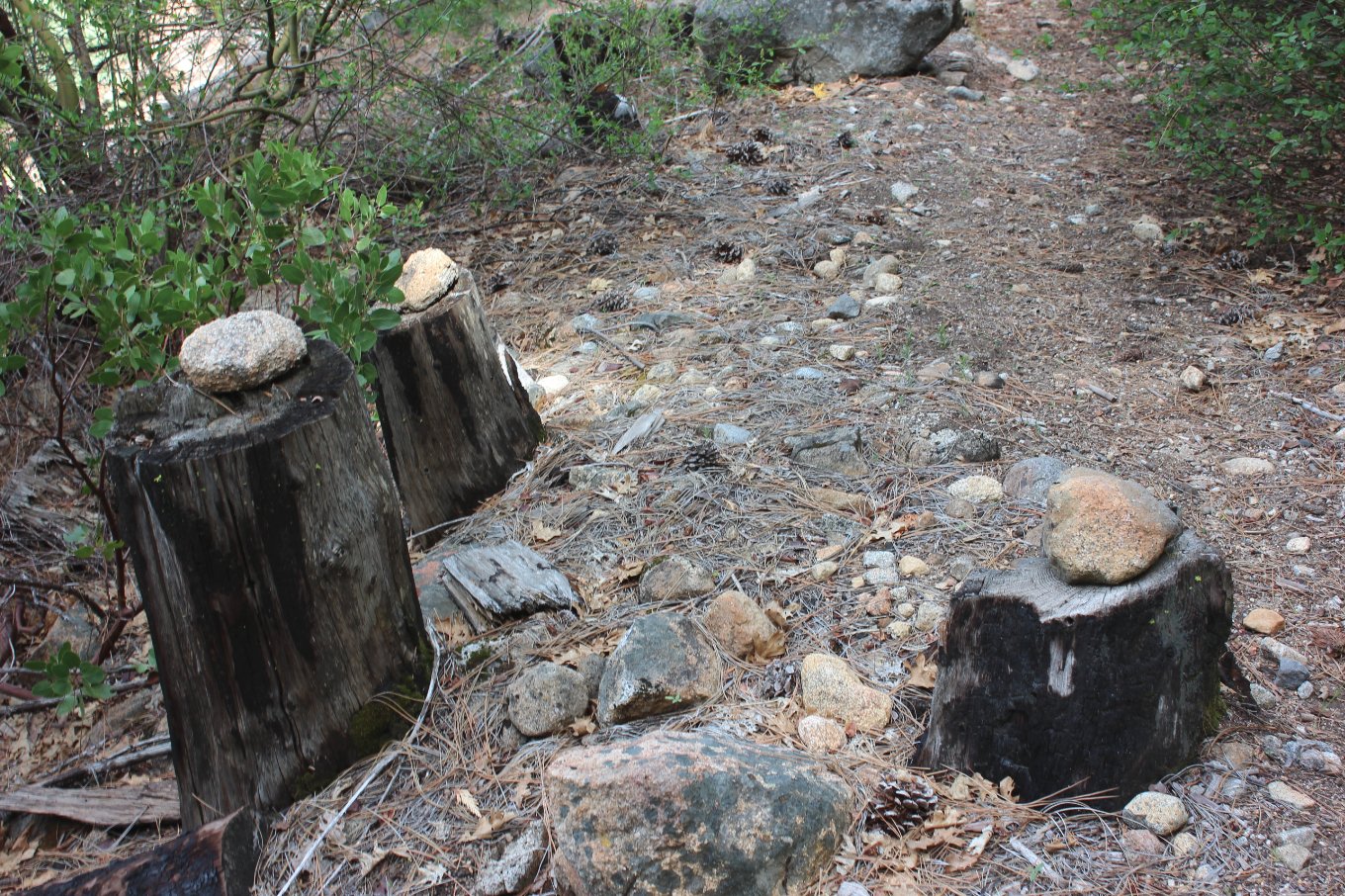
We came across undeniable
evidence that rocks truly DO grow on trees. |
 |
|
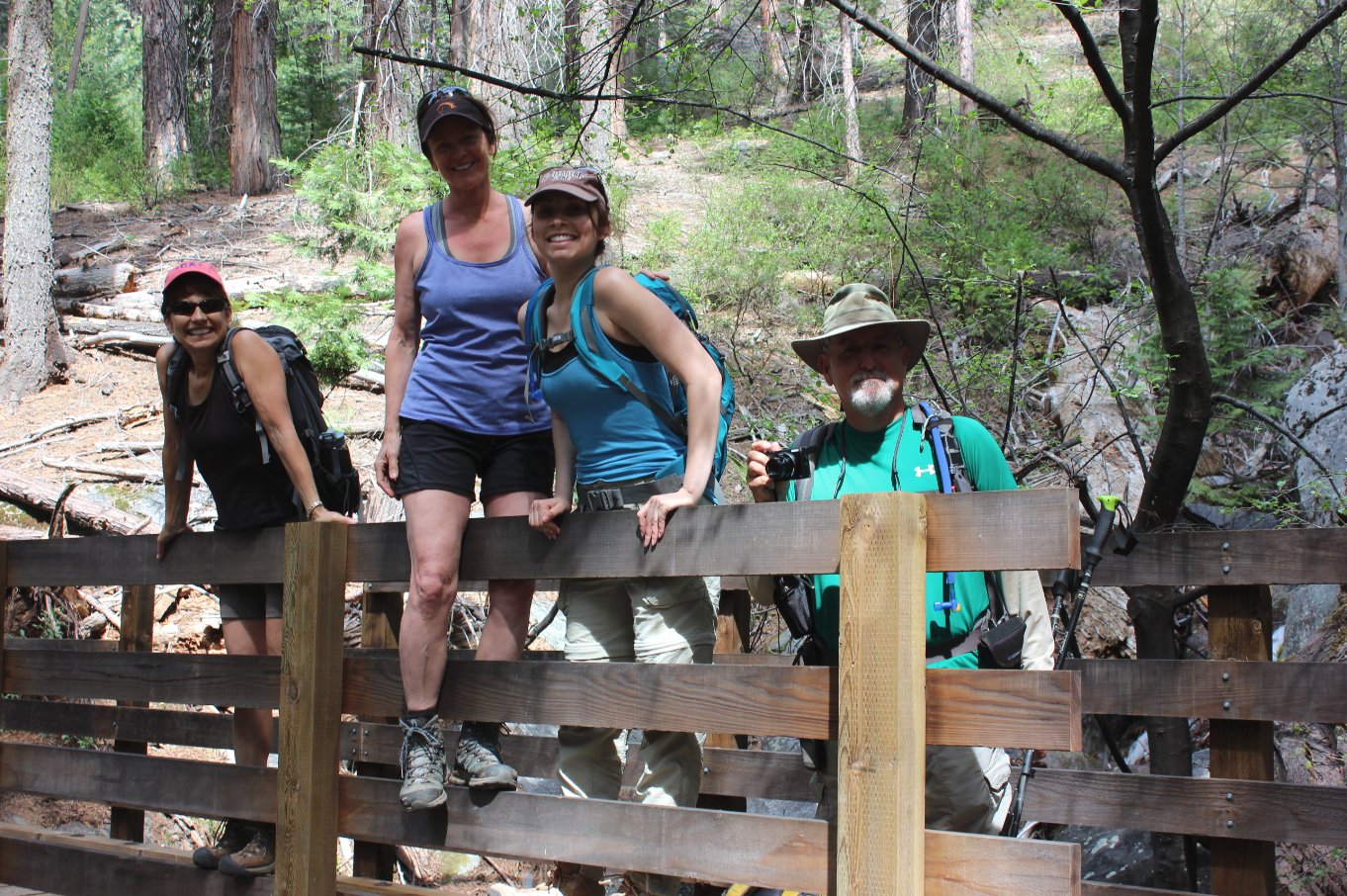
There are a number of nicely
done bridges along the way, and we had a good amount of water running
beneath each of them after the rains from a week ago. |
 |
|
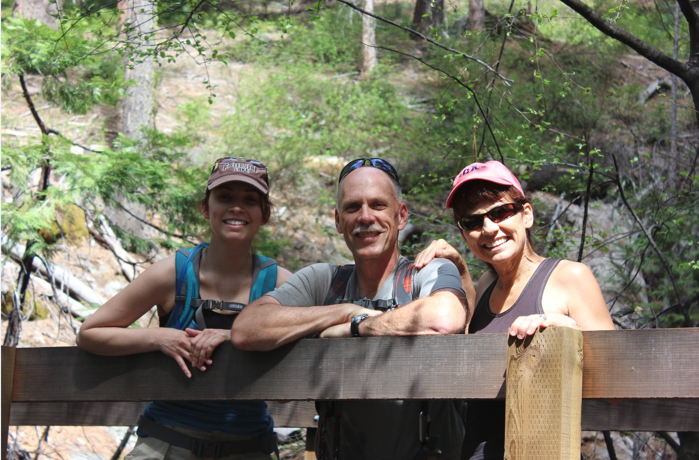
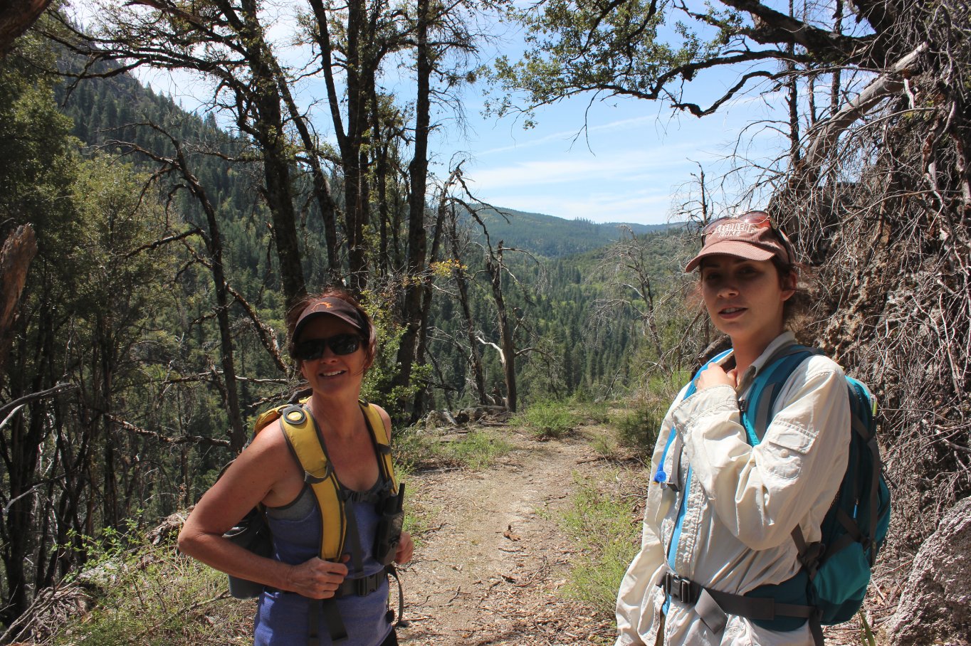
Paused for a moment at the
same bridge with my niece and sister-in-law. |
 |
|
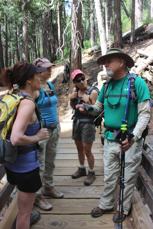
One of our hikers, Mark, had
some really good historical information on the trail and the history of
nearby Highway 50.
|
 |
|
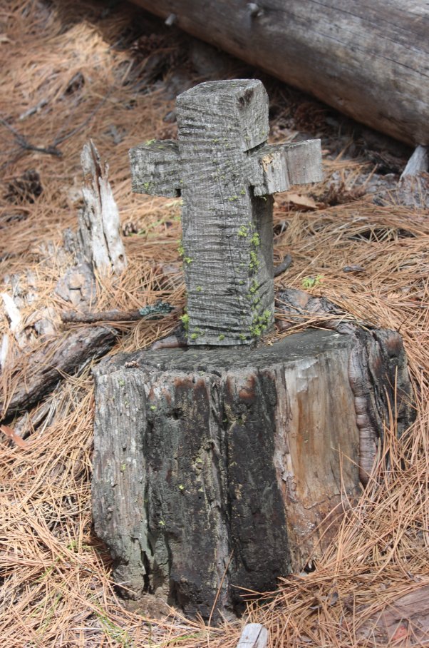
Just off one part of the trail
we spotted a memorial cross carved out of the tree stump. No
information on who it was for or when it was created. |
 |
|
We have lots of views of the
ever-tempting summit of Eagle Rock across the highway as we made our
way down the trail. |
 |
|
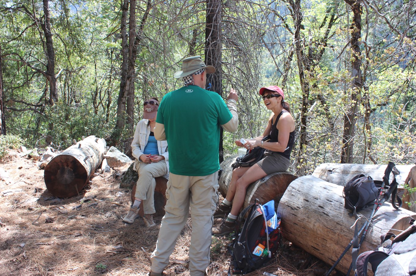
A little over halfway we found
a nice shady spot with benches for everyone to stop and enjoy some
lunch.
|
 |
|
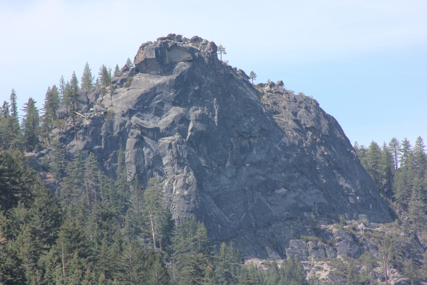
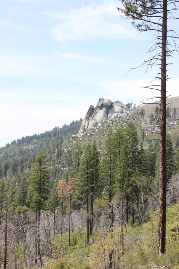
A look at Sugarloaf mountain
as we approached it from the east. |
 |
|
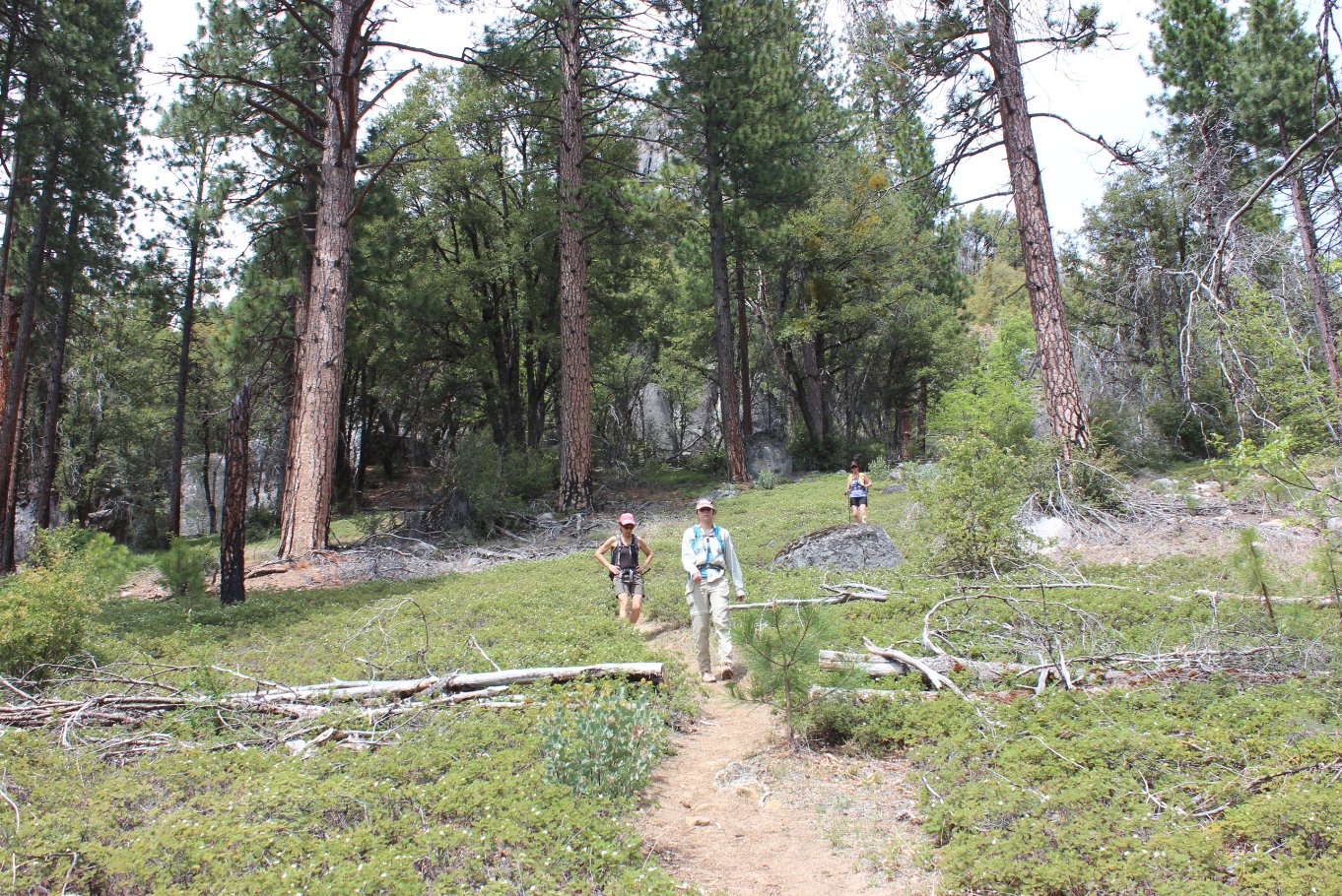
Two of our group headed out of
the shady section for the open last three miles. Much of the
damage from the Cleveland Fire is still evident. |
 |
|
We found lots of pyrite but
struck out searching for gold. |
 |
|
We took a quick detour up to
the base of the rock known as Sugarloaf mountain, but it was still
another 500 feet of elevation to the top and we were happy to save that
for another day. |
 |
|
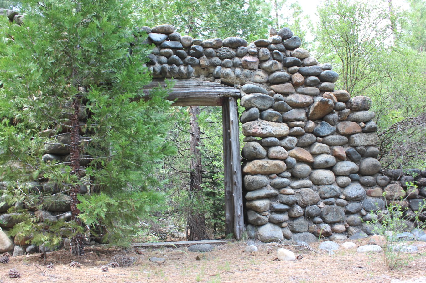
On our way back to the car we
were unintentionally in a gated off residental area, but came across
the probable ruins of the Sugarloaf Pony Express stop. |
 |
|
Almost wouldn't be right if I
didn't find at least one cache along the way. |
 |
|
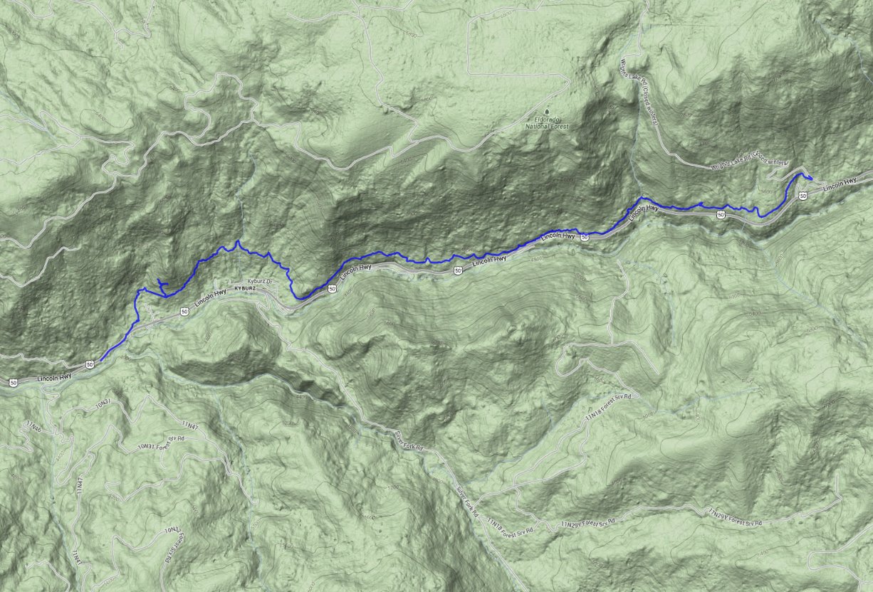
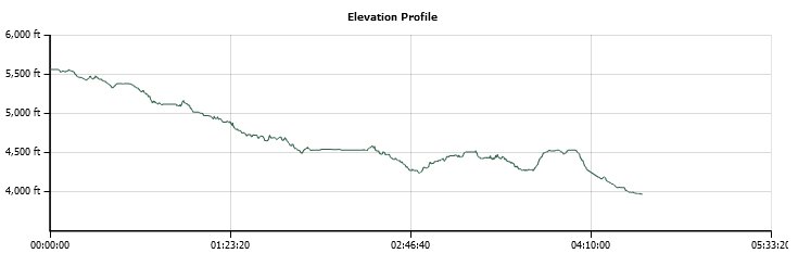
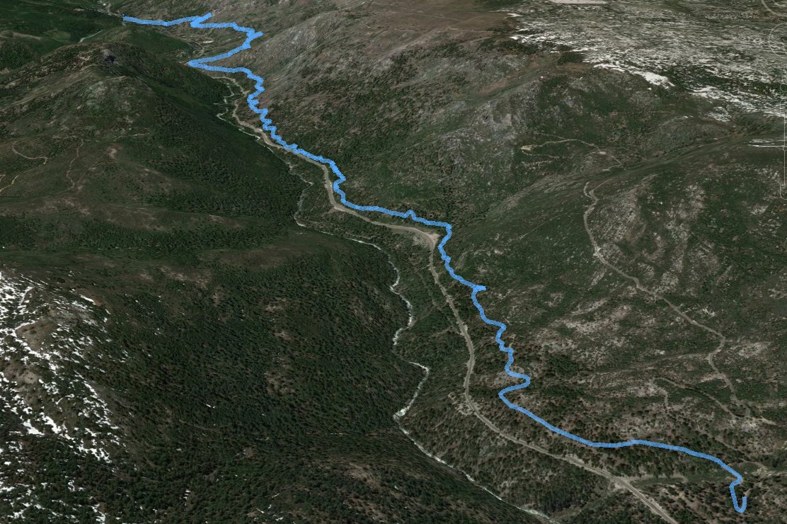
GPS Track of the full hike. |
 |