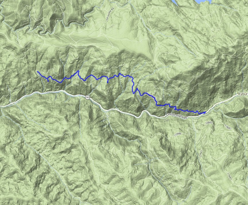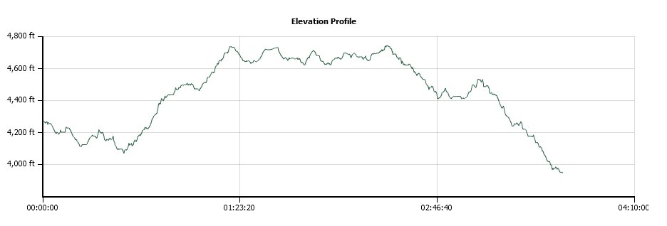
Distance: 9.2 Miles
Vertical Gain: 1150'
Group Size: 4
Hike Rating: Easy Moderate Hard Strenuous

 GPX for
this trip

| Start Coordinates: | N 38 47.101, W 120 25.199 | End Coordinates: | N 38 45.925, W 120 19.244 | ||
| Car Shuttle Req'd: | Yes | Parking Directions: | Take Highway 50 to Ice House Road. Turn north and follow the road a couple of miles to the parking area at the Weber Mill Road gate. A second car should be parked on a dirt side area along Highway 50 at the coordinates, just on the west side of the small town of Kyburz. Across the road from this point is a marker for Tract 31. | ||
| Hazards of Note: | Tics, Snakes, hot temperatures in the summer with significant exposure to sun during long stretches of the hike.. | Crowd Factor: | Very limited. In the summer this gate is open and you may have some vehicles along the way, but this is not a very crowded section of the pony express trail. | ||
| General Notes: From the parking area, walk past the green gate and head down the road. The trail goes down gradually at first, and then for much of the next couple of miles it will have a constant gradual incline to it. The entire trail is a wide dirt road, and is easy to follow. Near the very end there is a small signpost on the left indicating the continuation of the Pony Express trail on a single-track trail toward Sugarloaf, but stay on the road to the right and wind down to Highway 50 and the vehicle(s) parked at the pickup location. |
|||||
