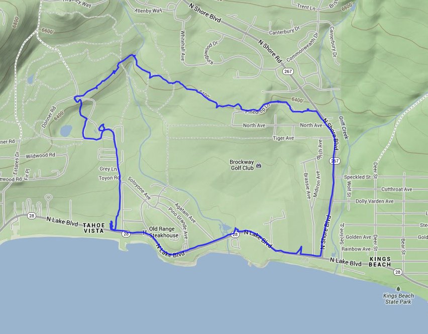
Distance: 4.5 Miles
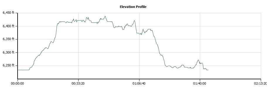
Vertical Gain: 200'
Group Size: 1
Hike Rating: Easy Moderate Hard Strenuous
 GPX for
this trip
GPX for
this trip
| Start Coordinates: | N 39 15.761 W 120 03.215 | End Coordinates: | N 39 14.857 W 120 01.932 | ||
| Car Shuttle Req'd: | Yes, if not looping back to the parking area along the highway | Parking Directions: | Parking for the trailhead is in the North Tahoe Regional Park. Access to the trail is at the far north end of the park past the baseball fields. | ||
| Hazards of Note: | None. | Crowd Factor: | Moderate. This trail had a few bikes on it as well as a number of joggers, especially in the morning. | ||
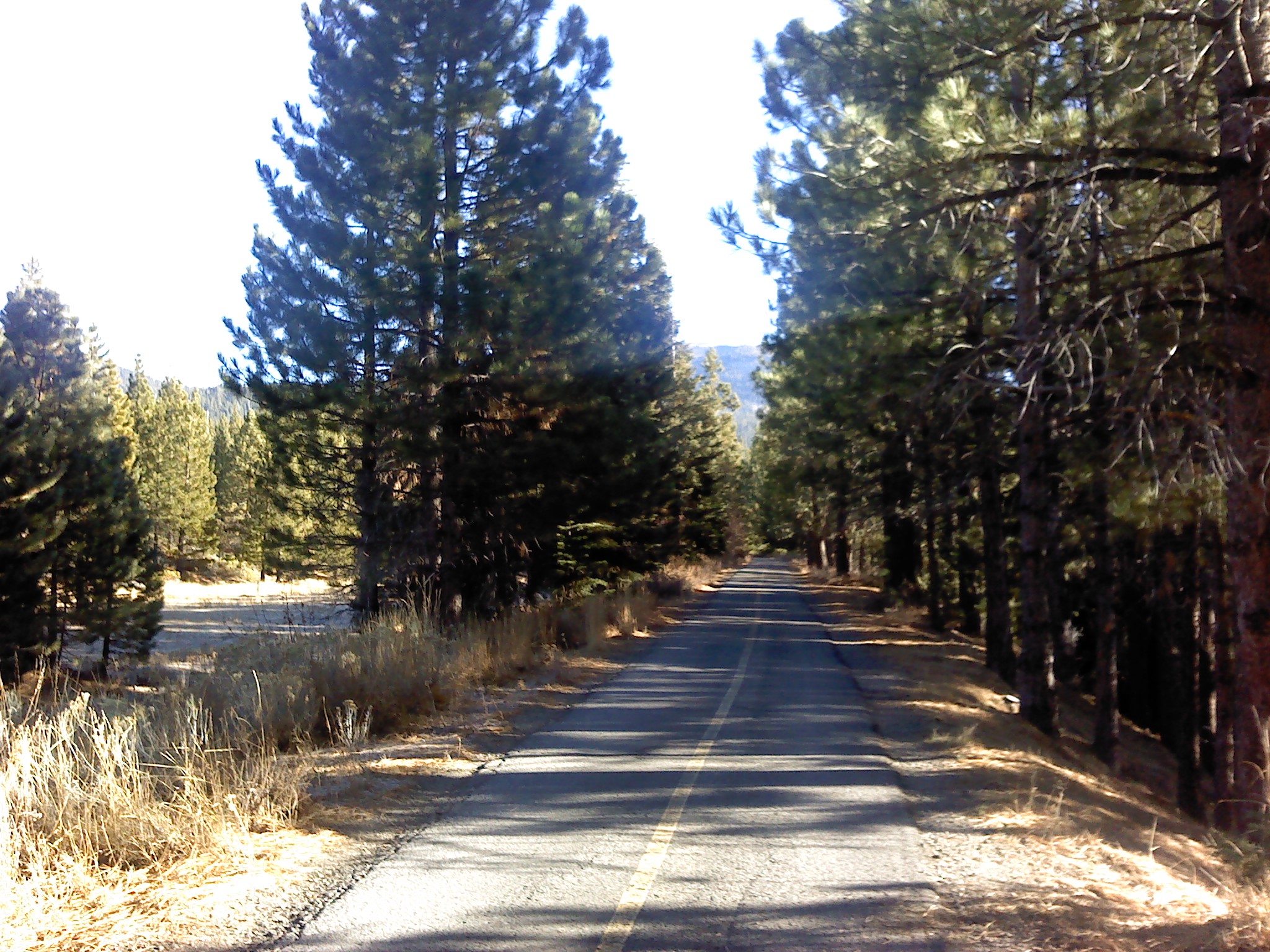
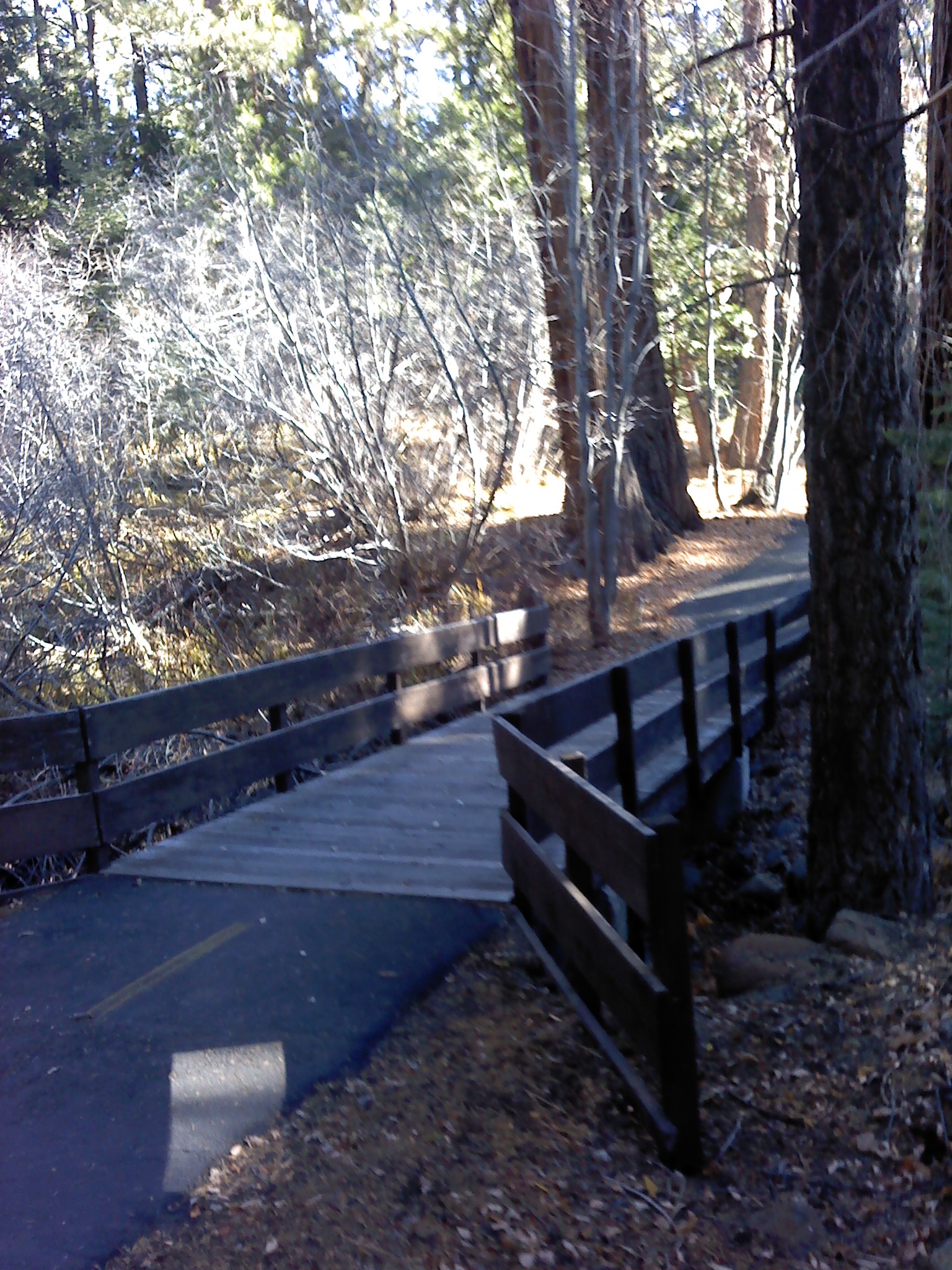
| General Notes: Pleasant trail which travels through an area heavily shaded most of the way by pine trees. You are very close to Lake Tahoe for the entire trek, but there are no true views of the lake itself. It is a very peaceful setting and easy stroll. There are also about 10 geocaches along the way to check out as well. |
|||||