Distance: 12.9 Miles
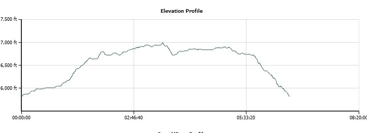
Vertical Gain: 1390'
Group Size: 2
Hike Rating: Easy Moderate Hard Strenuous
 GPX for
this trip
GPX for
this trip
| Start Coordinates: | N 39 24.751, W 120 39.855 | End Coordinates: | Same as starting coordinates | ||
| Car Shuttle Req'd: | No | Parking Directions: | Take Highway 80 to the Highway 20 turnoff a couple exits west of Cisco Grove. Follow the road back under the freeway and continue on Highway 20 until you get to Highway 18, also known as Bowman Lake Road. Stay on this road for a little over 8 miles until you get to the parking coordinates indicated where the road becomes dirt and there is a small open clearing on the left side of the road. | ||
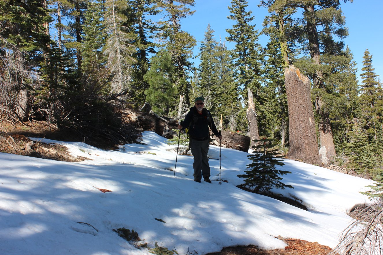
| Hazards of Note: | Some of the Rock Lake Trail after Loney Meadow is a little faint but there are trail markers along the way. The rest of the trails are well marked. | Crowd Factor: | Limited to busy. The Rock Lake trail is not heavily utilized, but the second section along the Crooked Lakes trail leads to popular Penner Lake and the Round Lake Trail back to Feeley and Carr Lakes is very popular in the spring and summertime. | ||
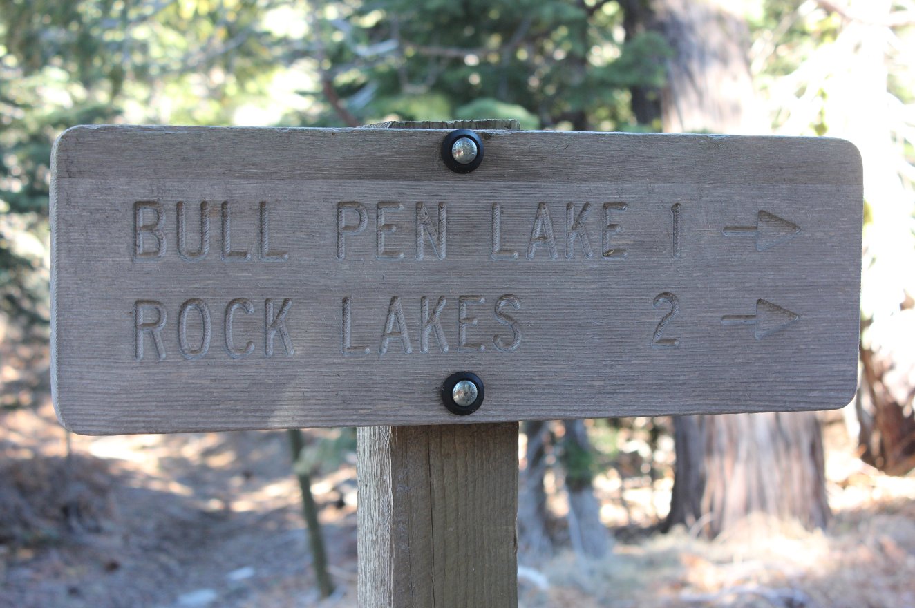
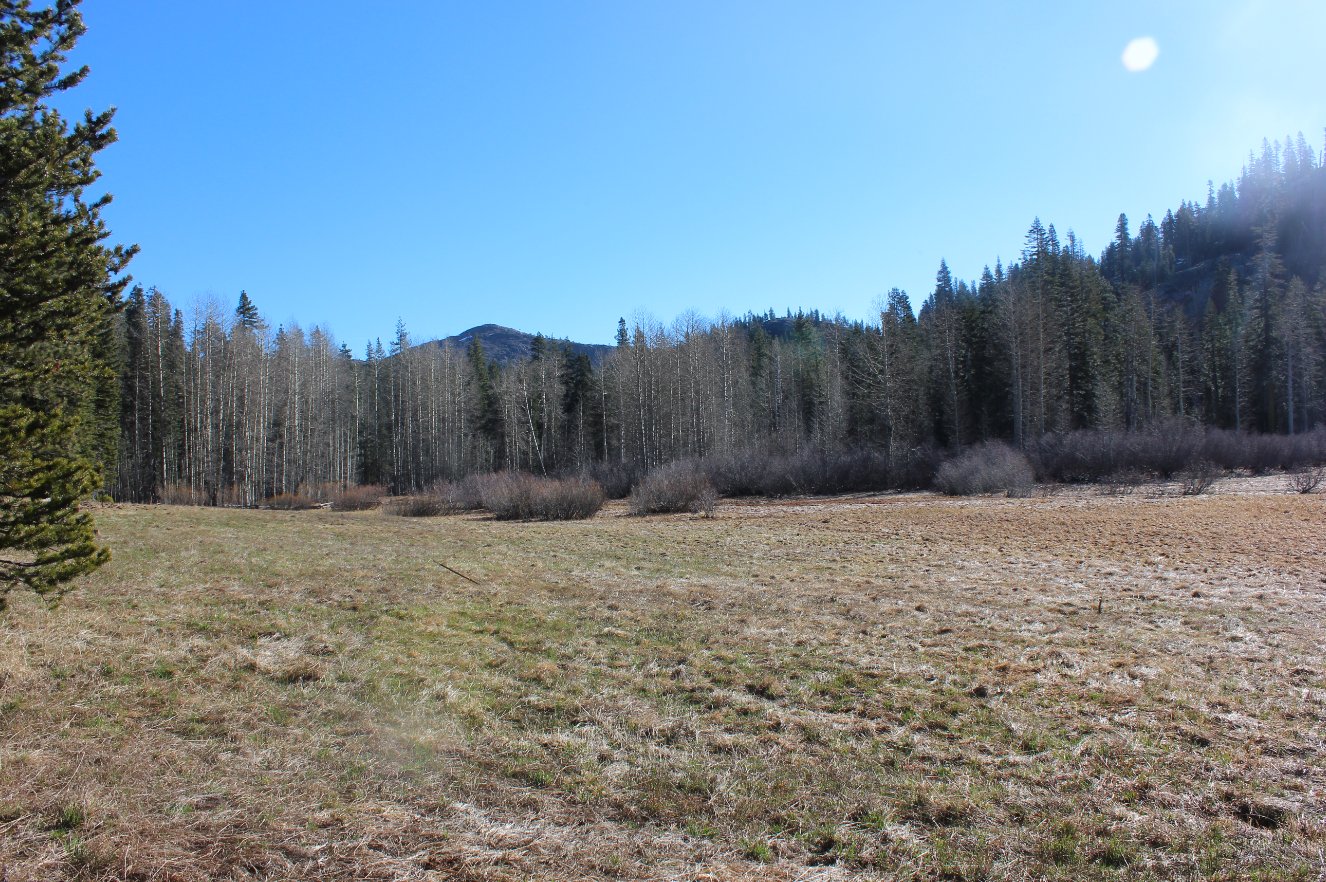
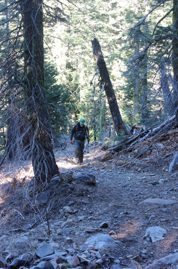
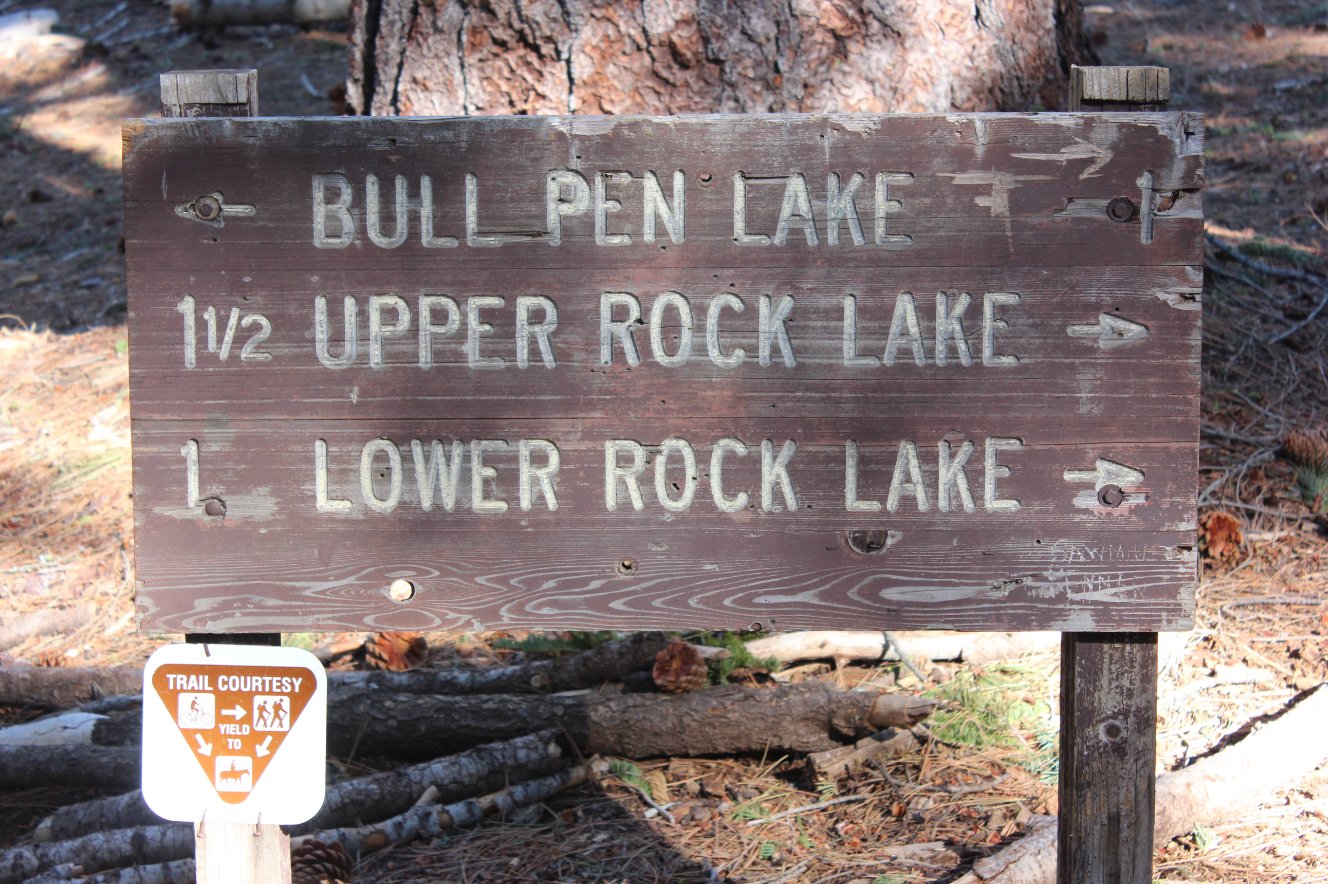
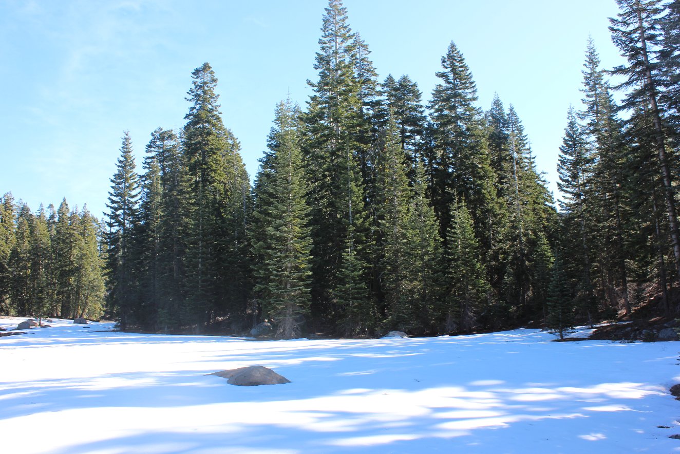
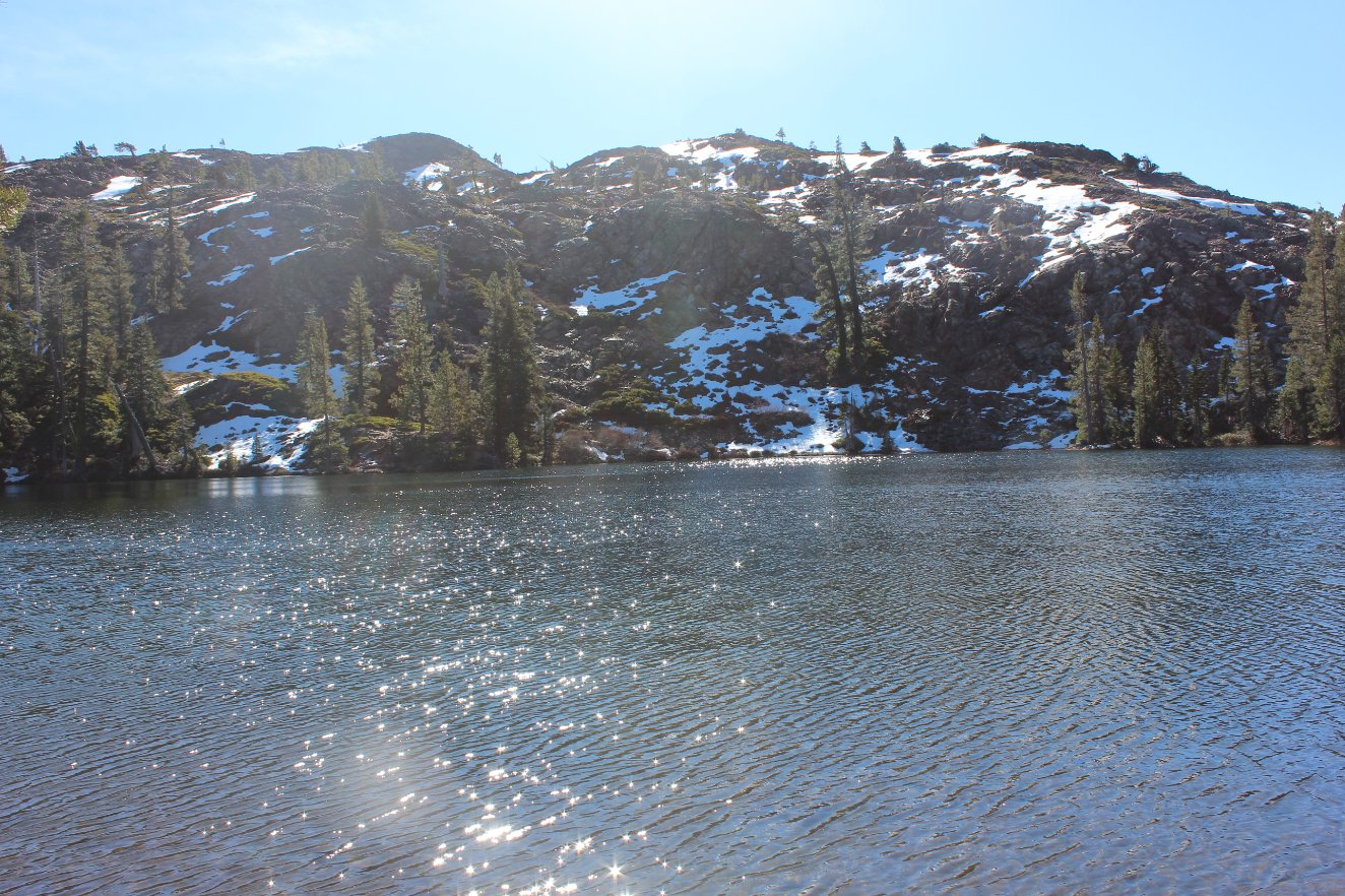
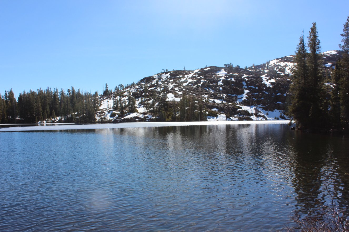
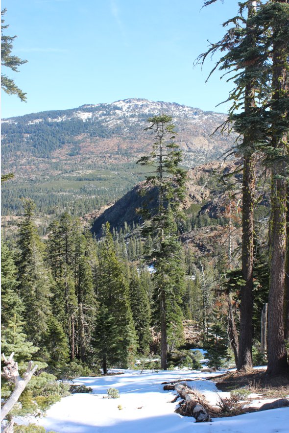
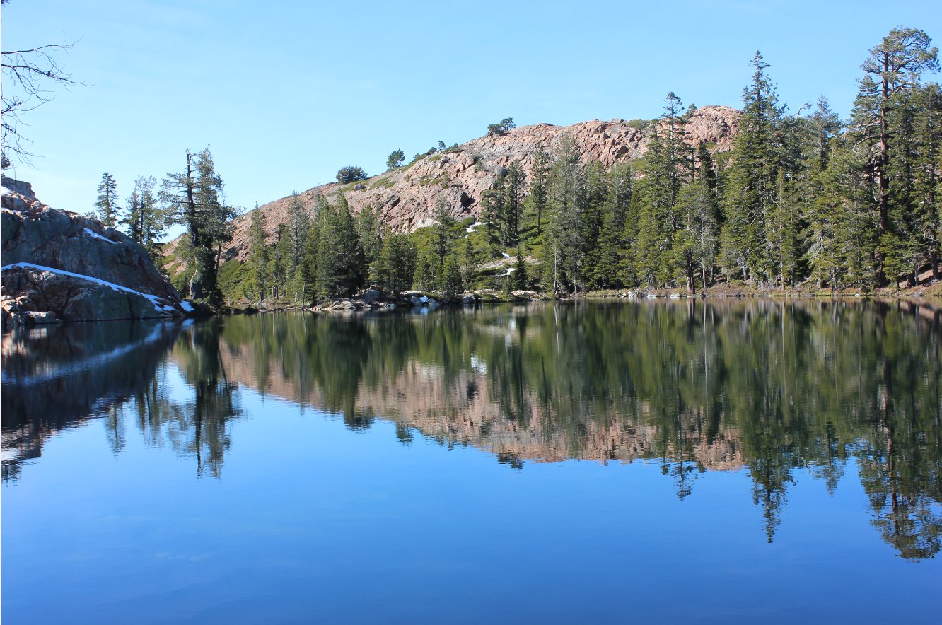
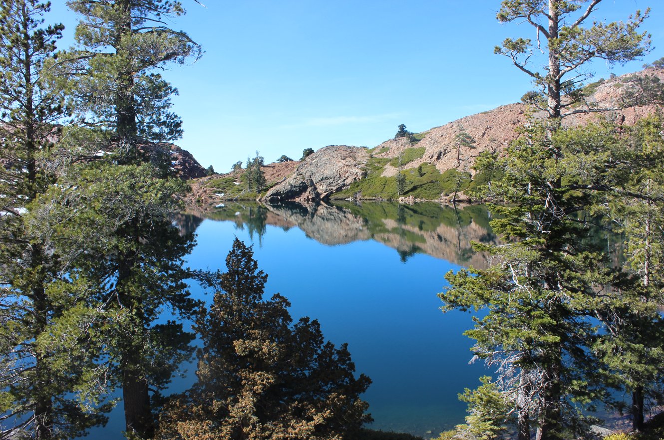
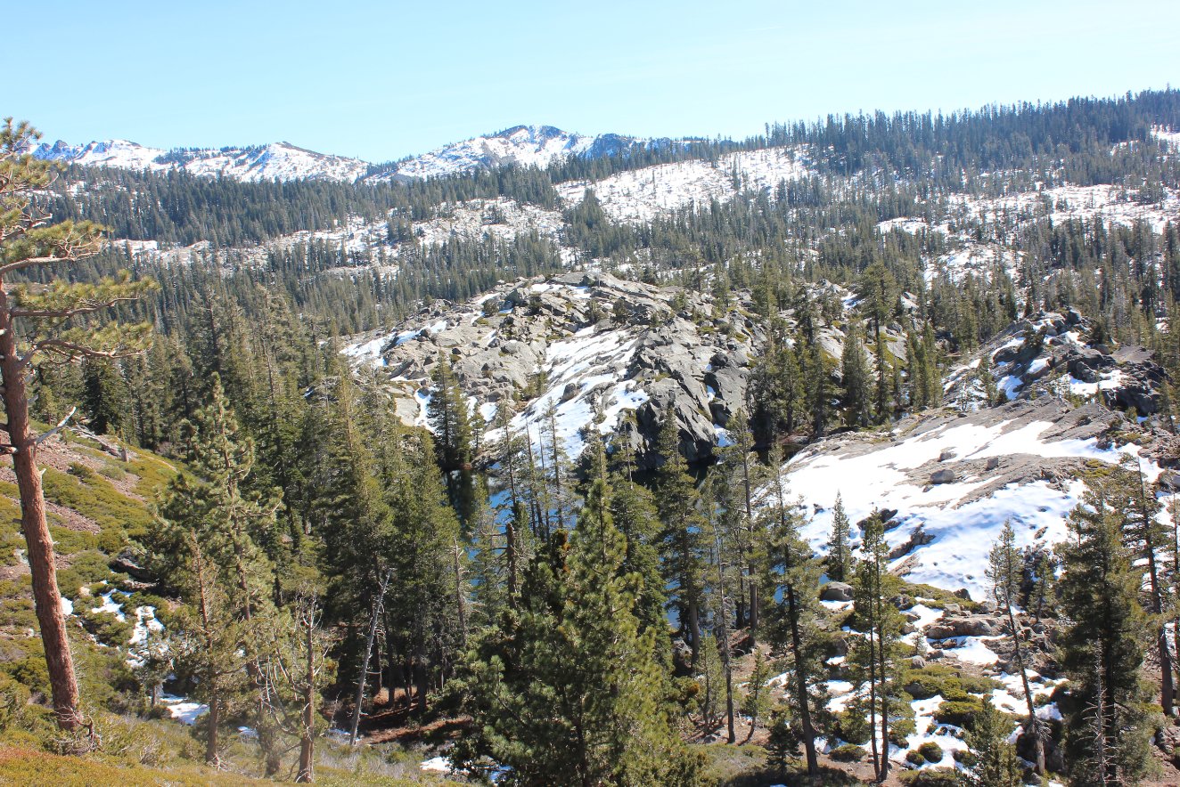
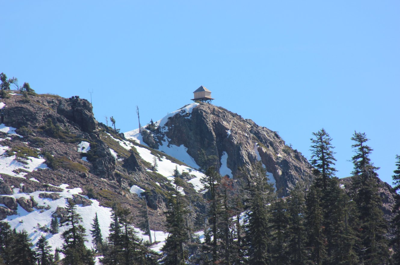
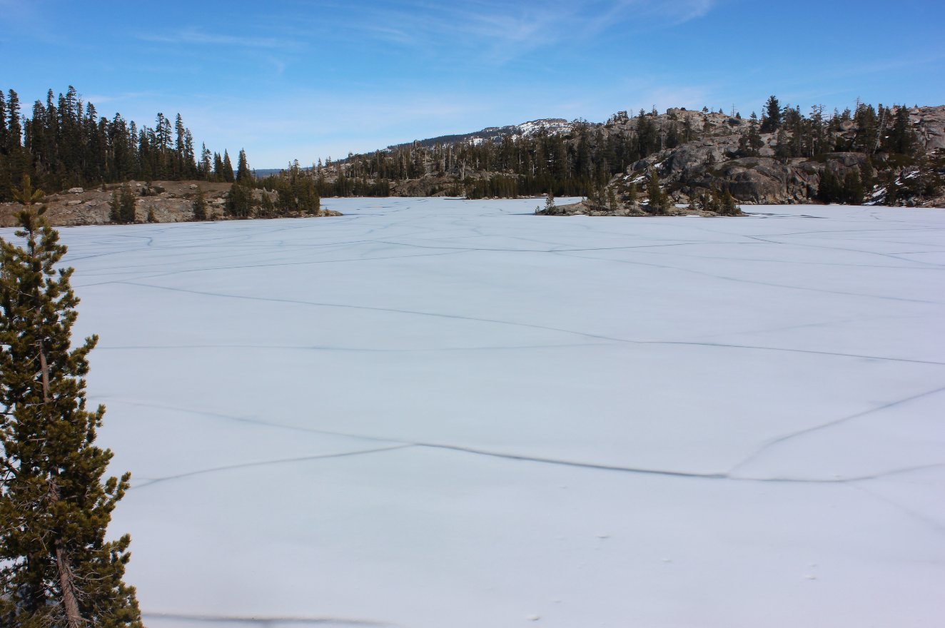
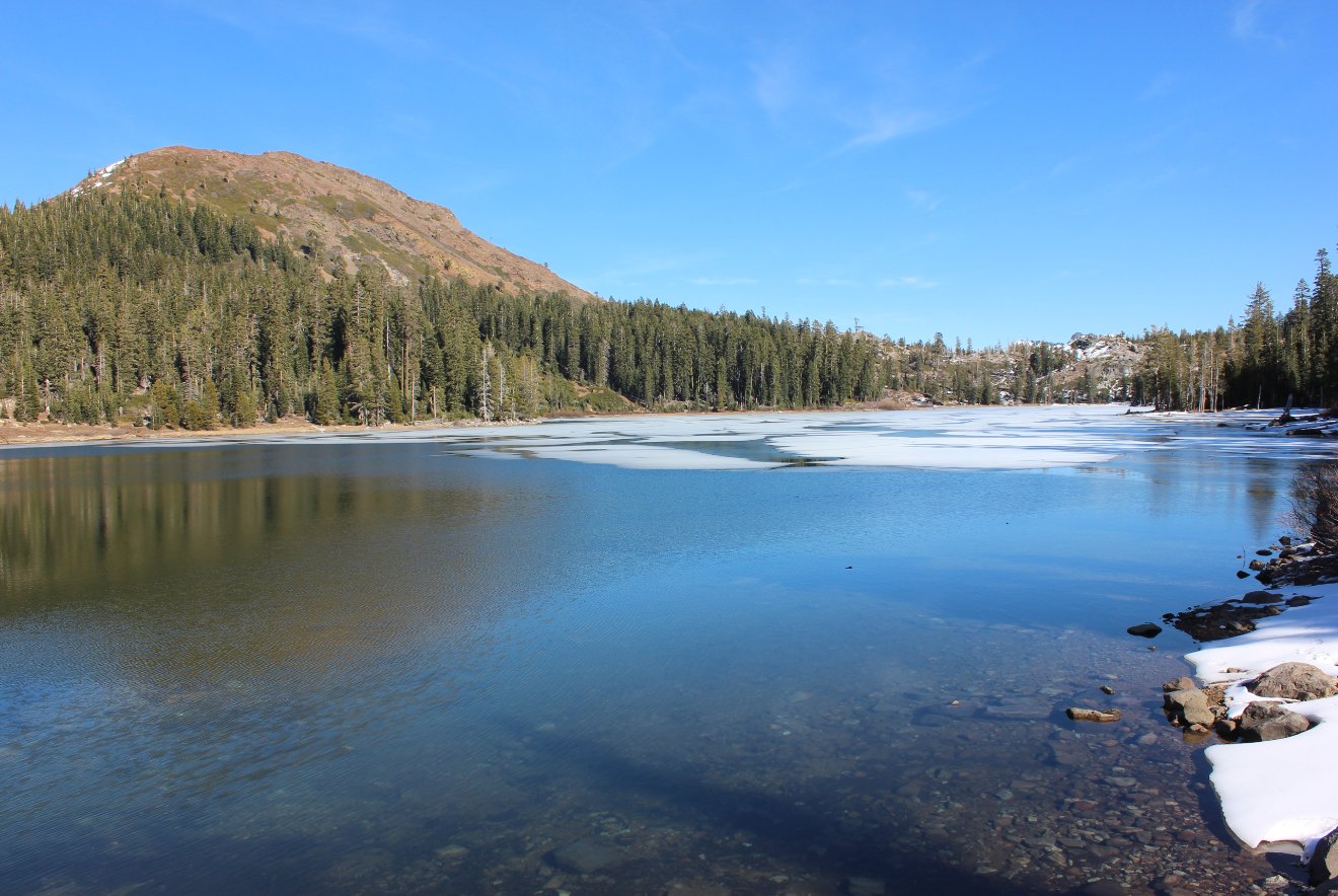
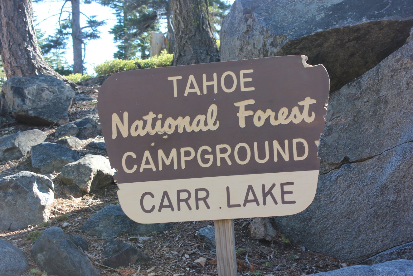
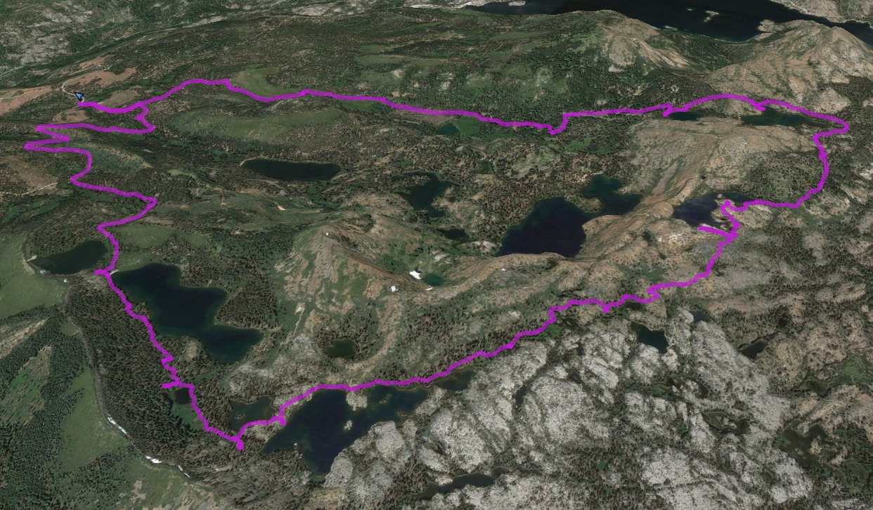
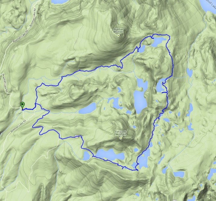
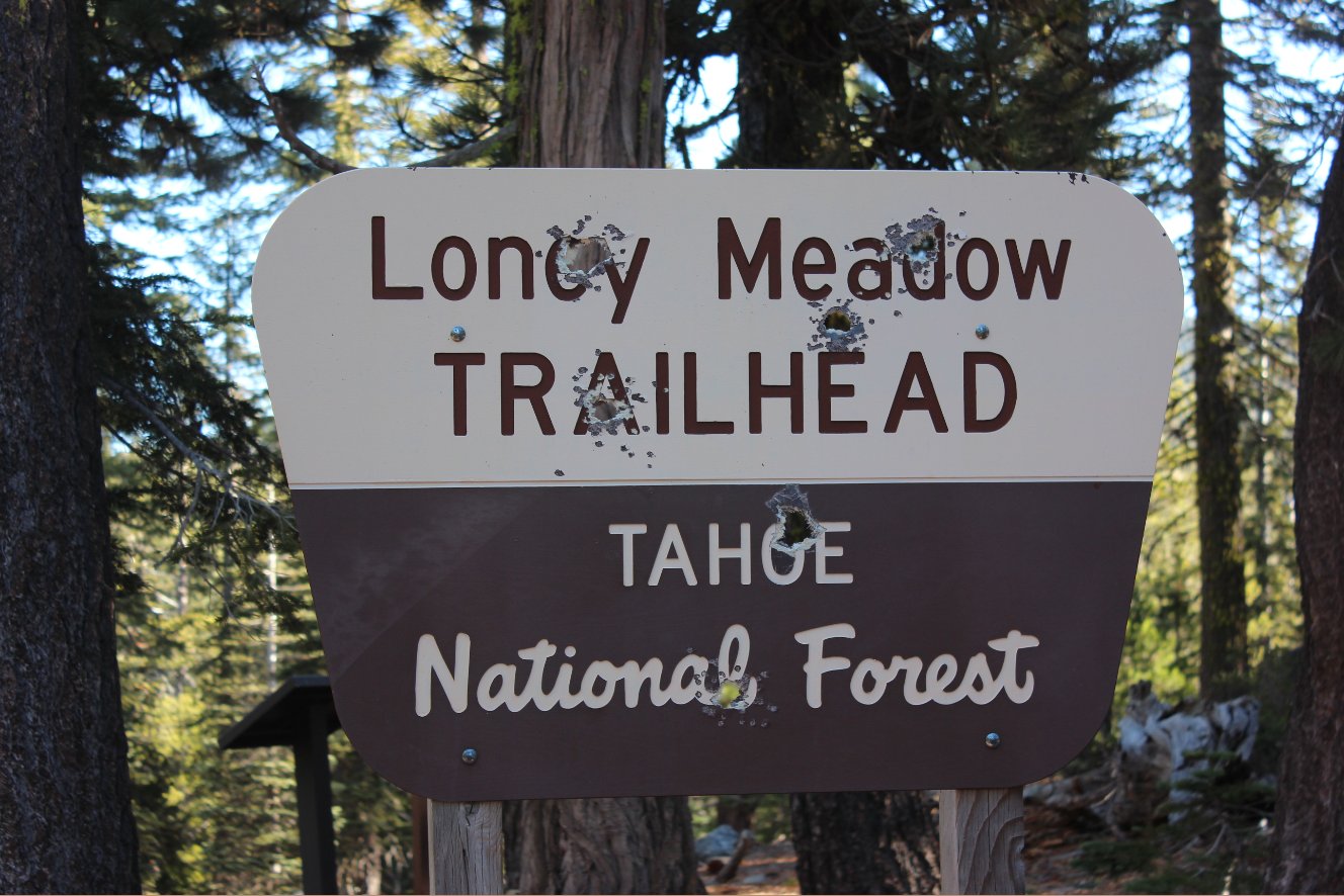
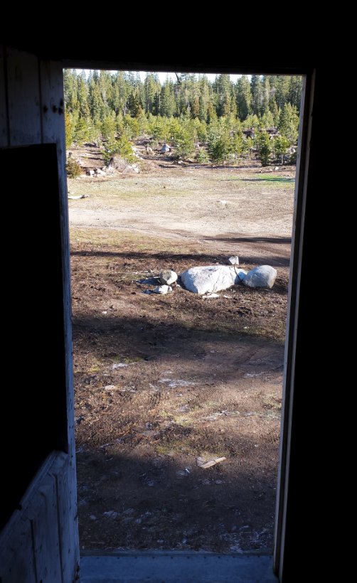
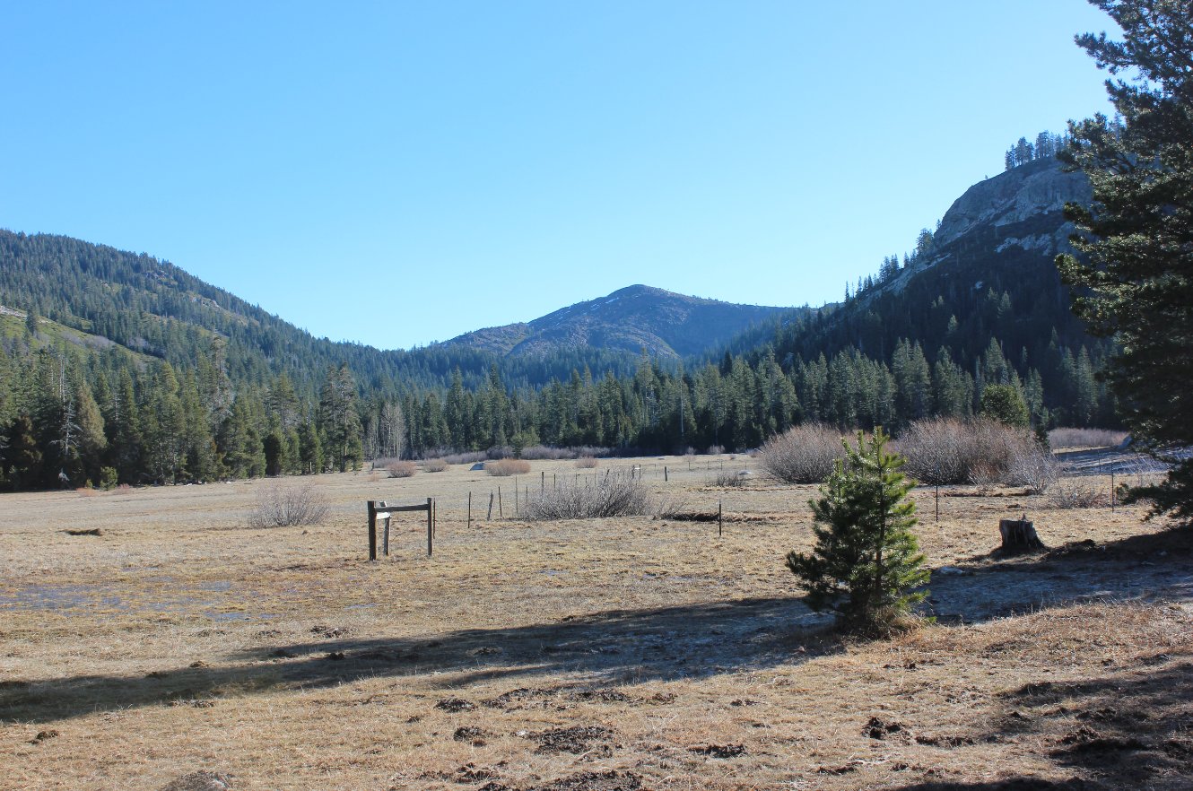
| General Notes: From the parking at the Loney Meadows trailhead, start your walk up a dirt jeep trail across the road. On the side of the trail you will find an old abandoned cabin that has two loft rooms upstairs but is filled with rat droppings and you should be wary of exploring too closely. Continue on the dirt trail as it bends north, and a junction on your right will be the way you come back at the end of the hike. Less than a mile ahead is a signed area for Loney Meadows, which offers a 1 mile loop around the meadow with information signs providing details of some of the history and wildlife of the meadow. Turn right at this first sign, and walk along the southern edge of the meadow until you cross the river and parallel the river for most of the rest of this trail. There is elevation gain here in sections, especially once you pass Bull Pen Lake on your right. Stay to your left at a junction which will lead to Lindsey Lake, and then a mile past Bull Pen you will reach Lower Rock Lake, with a scenic setting nestled against a rocky south shore. Just past this is Upper Rock Lake, and past this lake you will find the junction with the Crooked Lakes trail. Turn south, and follow this trail for the next three miles, wandering along the east shore of Penner Lake after a mile. The trail then begins a gradual descent for the rest of the way, skirting past a number of the Crooked Lakes on your left as you continue south. Island Lake soon appears after about 2 1/2 miles on this trail, and this has good spots on the southwest shore overlooking the lake back to the north. Just past this lake you will intersect with the Round Lake trail, where you will turn right and head past a small lake on the left, then larger Feeley Lake on the right and finally Carr Lake on the left again. Follow the dirt roads out of Carr Lake back to your parking area, another 2 miles away. |
|||||
