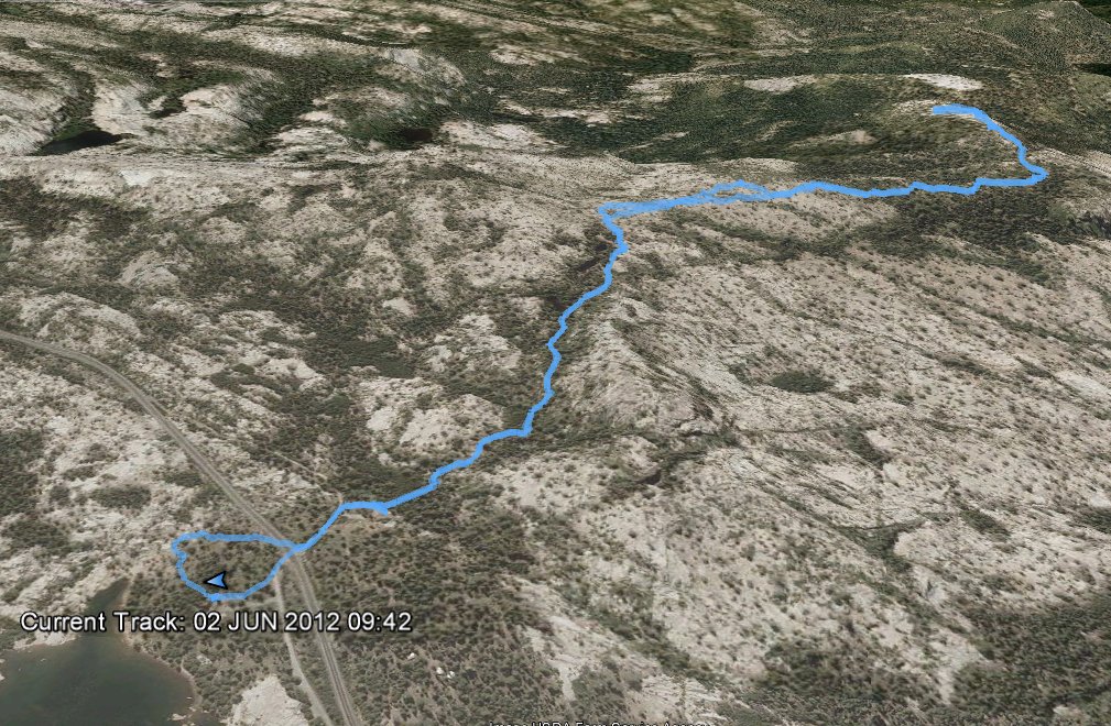
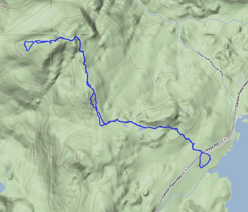
Distance: 5.0 Miles
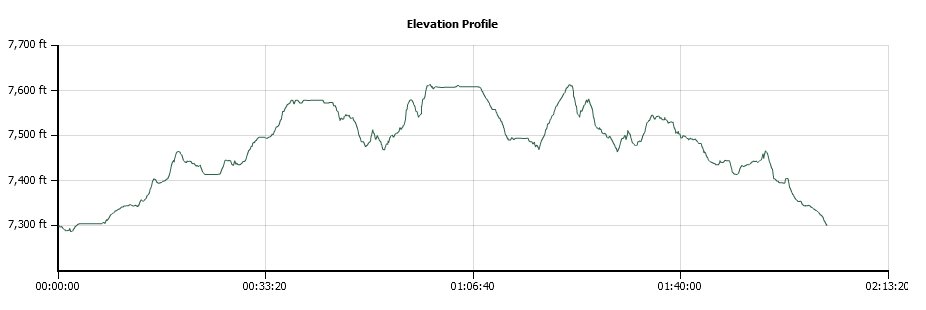
Vertical Gain: 600'
Group Size: 1
Hike Rating: Easy Moderate Hard Strenuous
 GPX for
this trip
GPX for
this trip
| Start Coordinates: | N 38 39.852, W 120 07.522 | End Coordinates: | Same as Start Coordinates | ||
| Car Shuttle Req'd: | No | Parking Directions: | Take Highway 88 to Silver Lake. Turn into the west entrance to Kays Road (there are two) and then almost immediately make a right into a paved parking area just about 300 feet on your right. | ||
| Hazards of Note: | Weather in this area can
change quickly so be prepared for various temperatures and rain. |
Crowd Factor: | None. This trail is an old, no longer maintained trail into the Caples Creek and Shealor Lakes area, and it is often tricky to even find the trail. You will not run into anyone else on this trail unless they are geocaching. | ||
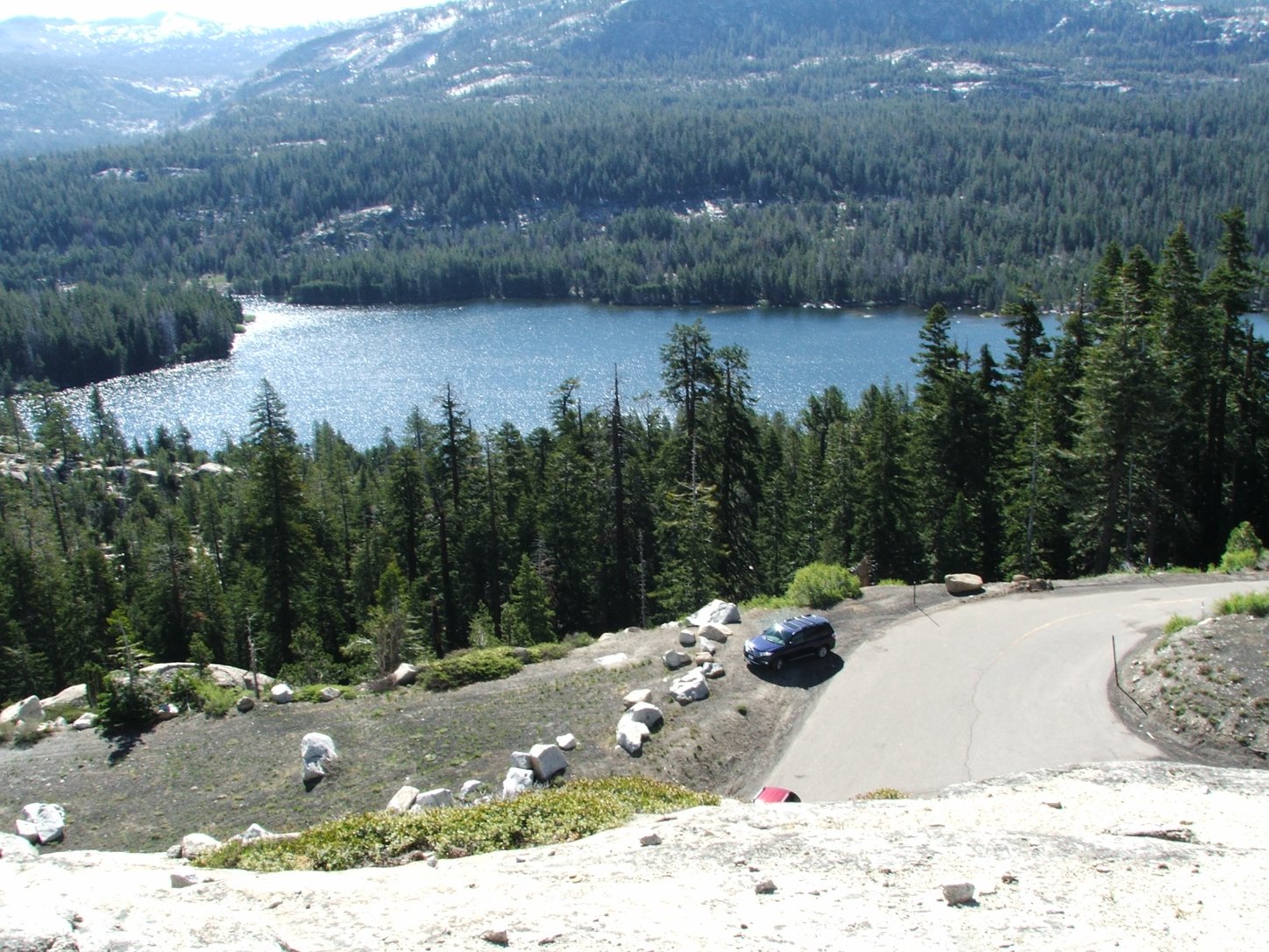
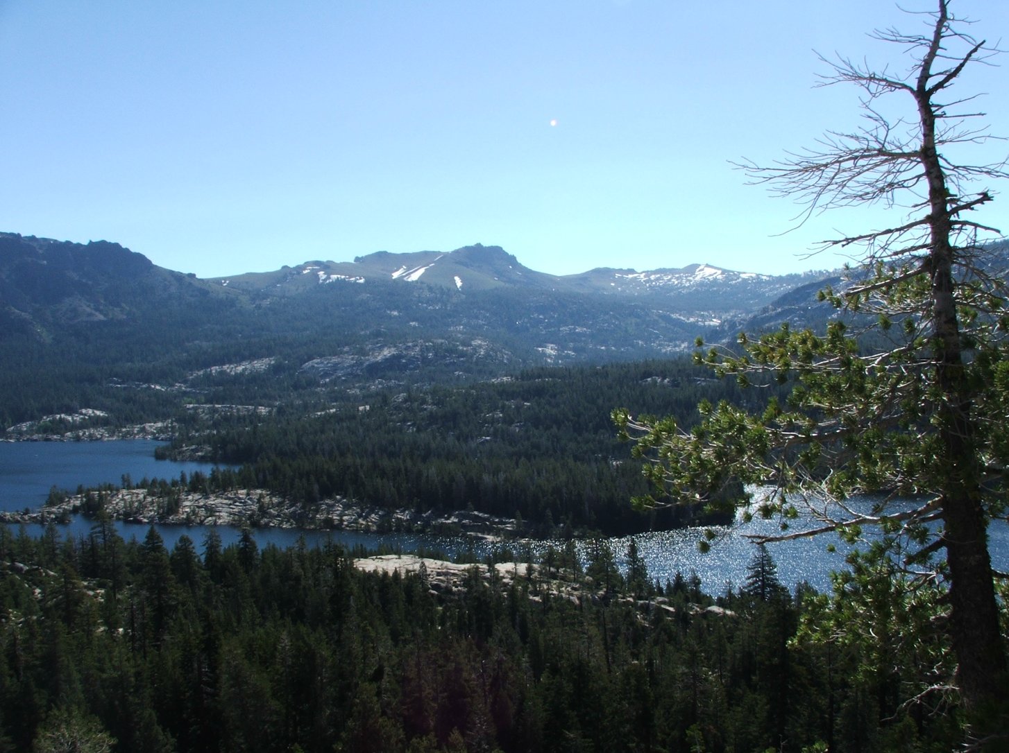
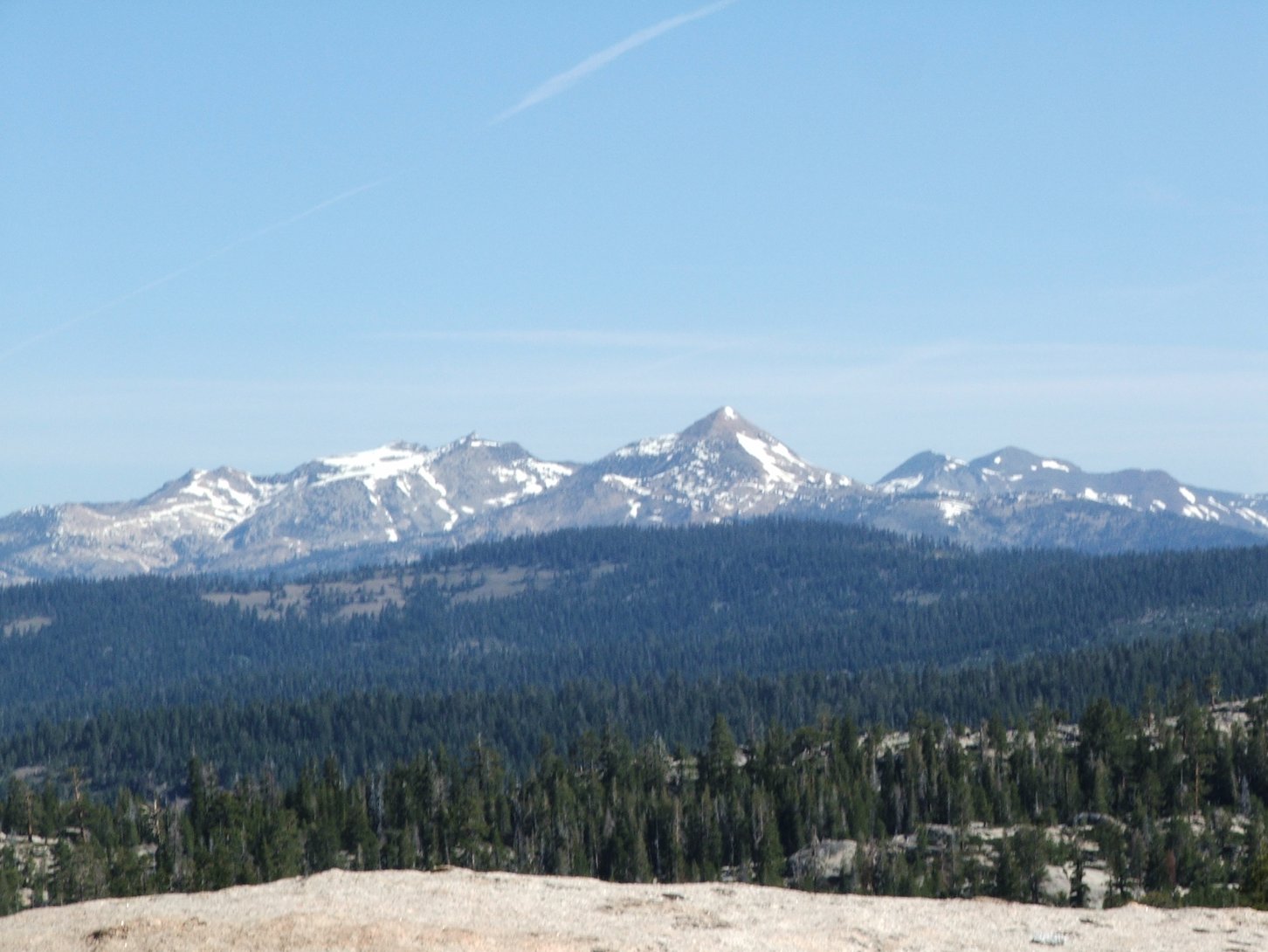
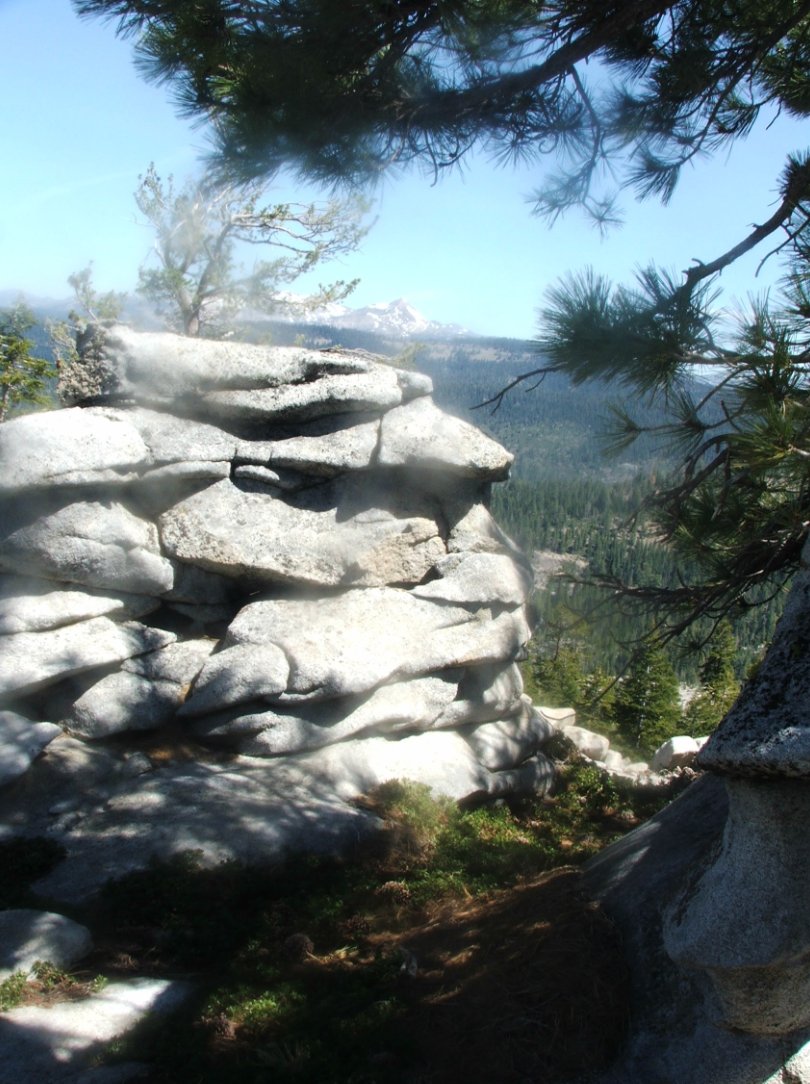
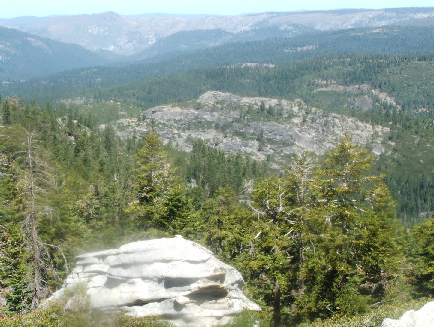
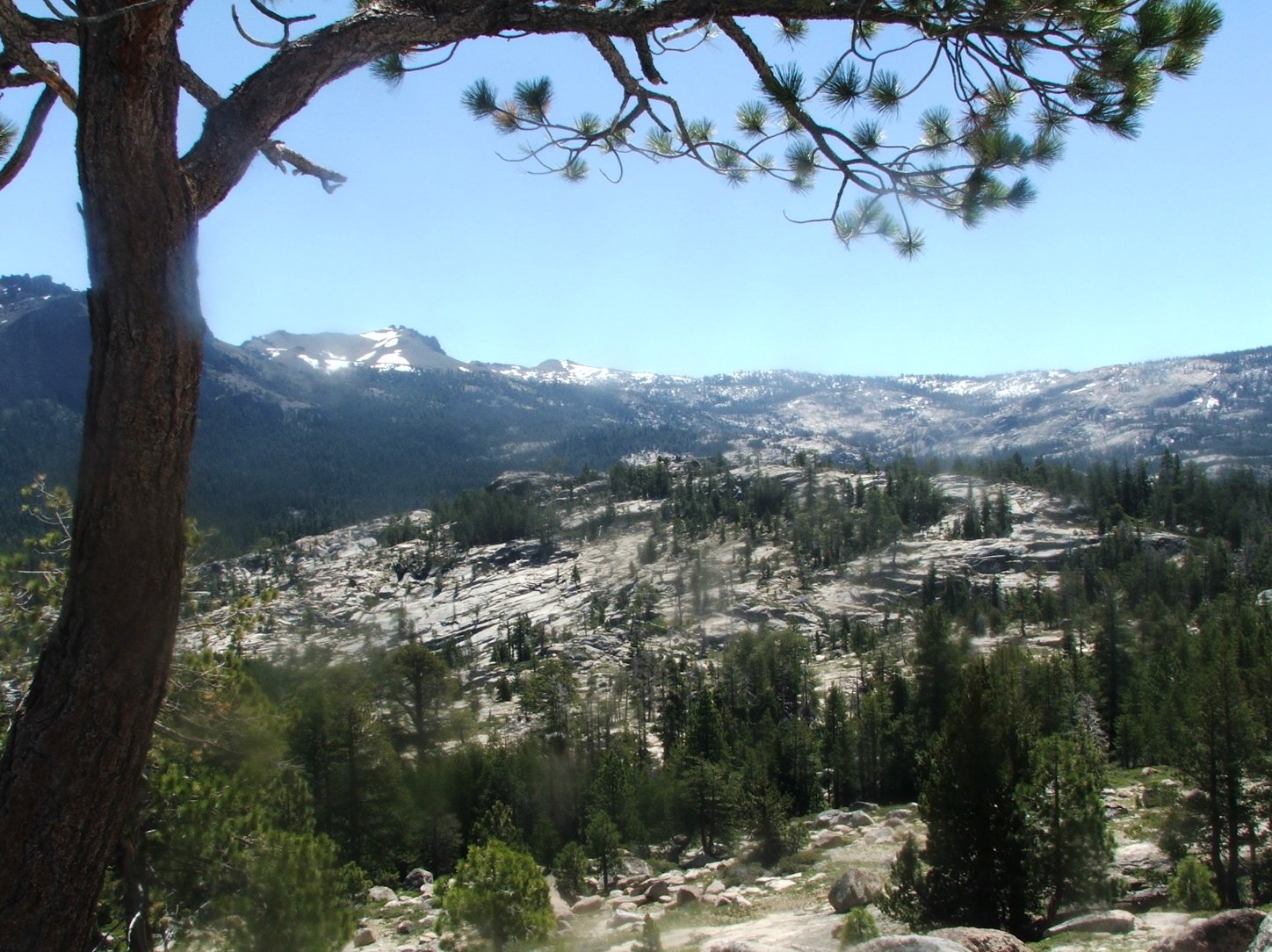
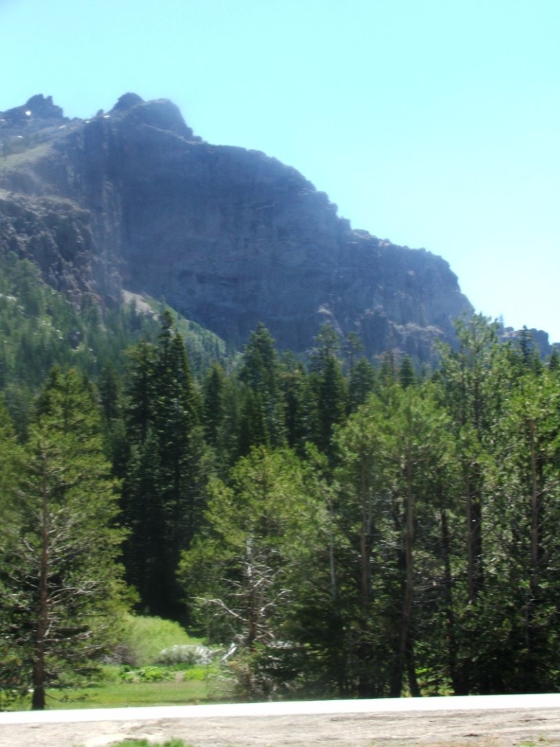
| General Notes: From the parking area walk back across highway 88 to the north, and continue up the paved roadway for less than a 10th of a mile. You will see a circular paved area to your right, and you will head that direction and then find the old trailhead on the northwest corner of this old oval parking area. This trail will generally follow an old ravine up to the north north-west, bending almost due north and heading across granite in about three quarters of a mile. After another 3/4 mile, it will then head directly west, until you get to the top of peak 7670 with a great view into the Caples Creek drainage. It is possible to head Northwest from here and pick up the Silver Fork trail into the Caples Creek trail area, but this would require about a mile and a half of cross-country route finding and I have not tried this. |
|||||