Distance: 12.6 Miles
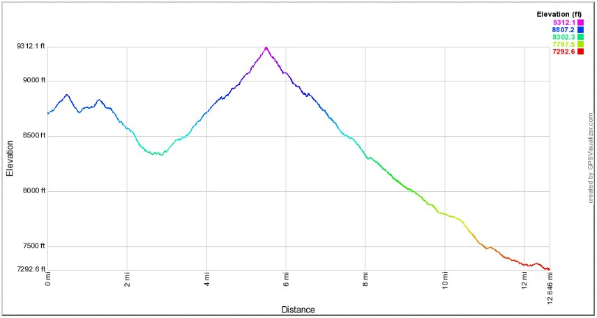
Vertical Gain: 1500'
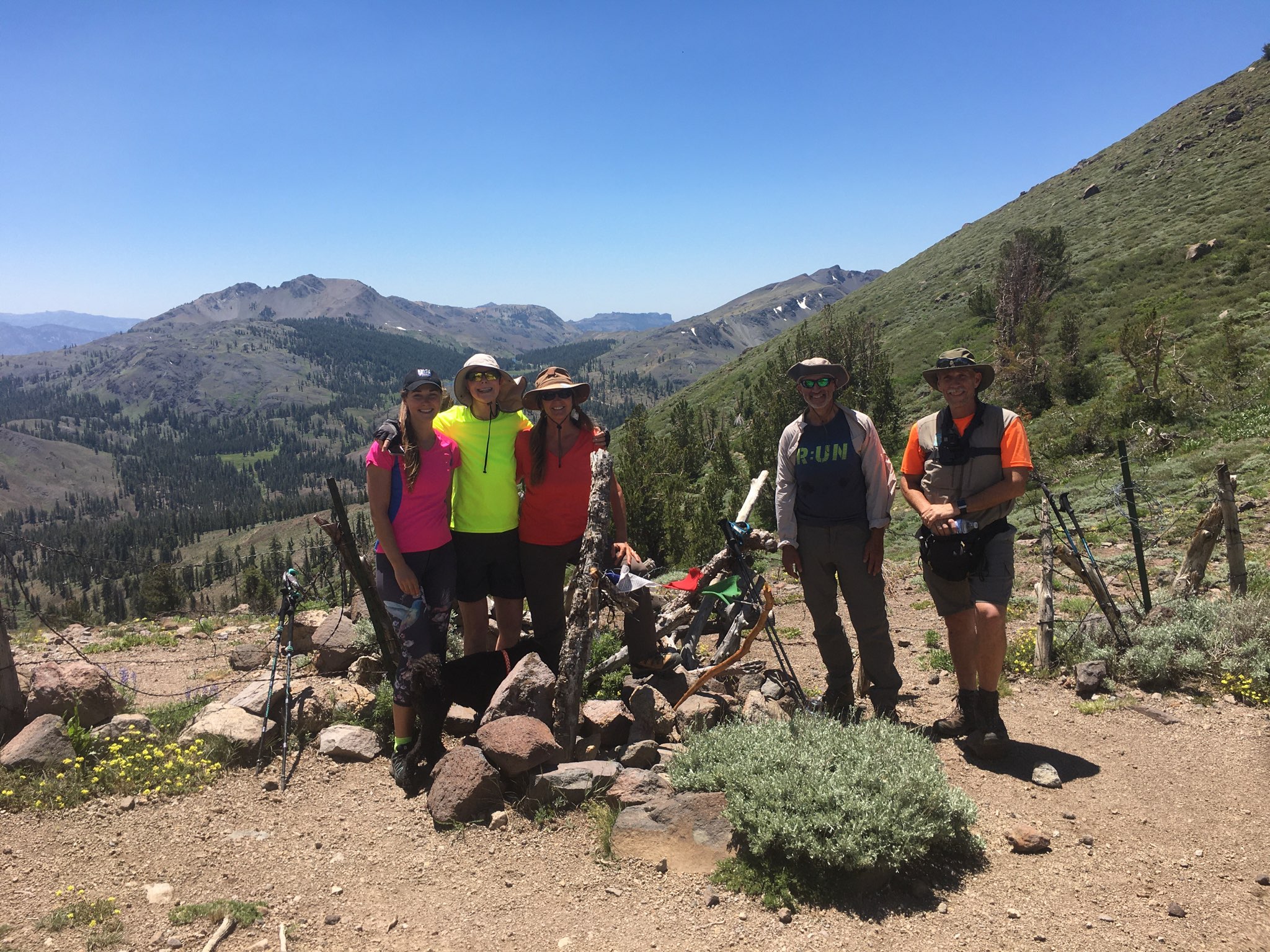
Group Size: 7
Hike Rating: Easy Moderate Hard Strenuous
 See
video of hike
  GPX for
this trip
| Start Coordinates: | N 38 32.921, W 119 48.351 | End Coordinates: | N 38 34.990, W 119 47.355 | ||
| Car Shuttle Req'd: | Yes | Parking Directions: | For
the trailhead take
Highway 4 to the PCT parking area on the south side of the highway a
little bit past Kinney Reservoir. Drive up the dirt road to
the
PCT parking area at the coordinates and find the start of the trail to
the west just past the rest rooms at the lot. For the end of the hike parking area, look for the most westerns of two sharp horseshoe turns in Highway 4 about 4 miles east of the PCT parking lot. There is a gravel pull out here with enough room for about 5 vehicles. You should be able to see the Noble Canyon Trail marker from this spot to your south. |
||
| Hazards of Note: | Mountain
lion and bear country, as well as some narrow, gravelly sections of
trail along the PCT as you make the climb over the last 1/2 mile to
Noble Lake. |
Crowd Factor: | Moderate. The PCT is a well-travelled trail and you will most likely run into a few hikers along the 5 miles between the trailhead and just past Noble Lake. Along the Noble Canyon section of trail you will enounter few to no other people. | ||
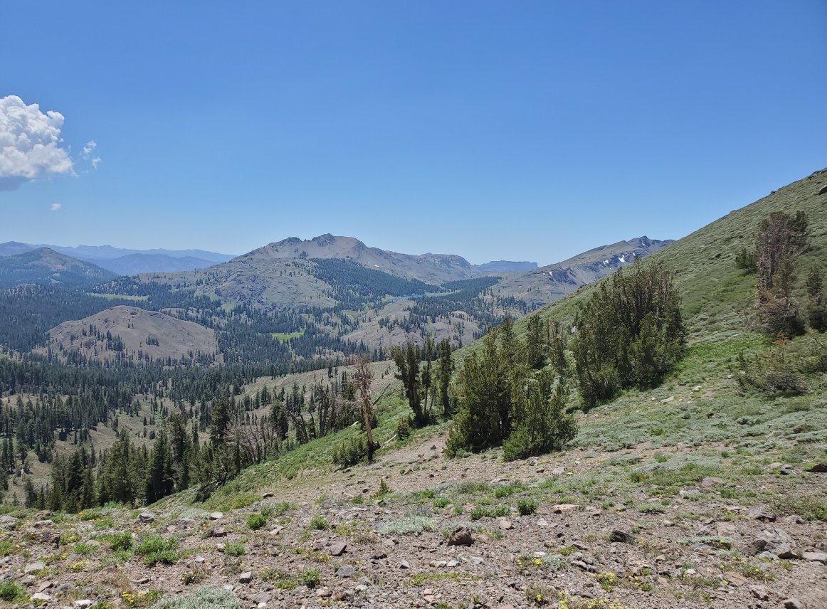
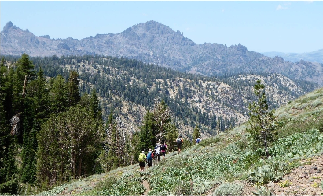
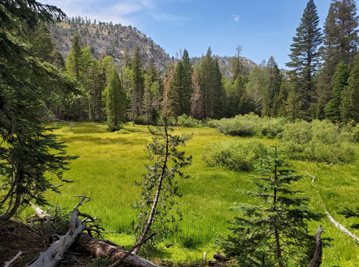
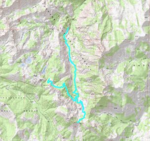
| General Notes: There are three options for doing this hike to Noble Lake. One is to do an out and back from the Noble Canyon Trailhead, for a total of about 11 or 12 miles depending on whether you go past Noble Lake to the Carson-Iceberg Wilderness boundary or not. The second option is to do an out and back from the PCT trailhead, for a total of 9.5 to 11.5 miles given the same option. The third option, which we took, was to make this a point to point hike, heading in on the PCT and then back out on the Noble Canyon Trail so that we were able to experience both trails to Noble Lake. Note that the PCT trailhead is 1400 feet in elevation higher than the Noble Canyon Trail, so you will have that difference between the start and end and we decided to have the last five miles downhill. The PCT section from Ebbetts Pass to Noble Lake a pretty spectacular display of both volcanic and granite formations all along the way, and in mid July the wildflower display was also pretty amazing. We counted no less than 20 different varieties along the way, and it is possible there were more that we just missed. The first 2 1/2 miles are mostly a slight downhill along the way, with nice views of Noble Canyon below as well as Silver and Highland peaks to the east. At about the 4 mile mark you will notice the Noble Canyon trail junction heading off to the north, which is the point you will turn off during your trek back from the lake to get to the end of the point to point hike. The last mile to the lake begins a constant climb up gravelly switchbacks, some of which seemingly take you a good quarter mile away from your destination before turning and leading you back to toward the lake once more. Once you reach Noble Lake you will find there is one campsite spot on the eastern shore, which had a couple of nice logs stretched across rocks to form two benches that we were able to use for our group to partake in a lunchtime meal. The lake itself is an unusual green color, mostly due to the grass which is growing in it for most of its extent. The 9975' Tryon Peak can be seen in the distance to the west behind it, but for the most part there are only a few trees scattered about the lake and this was the best place to be out of the sun. Even though it is another mile (each way) to the top of the pass to the south, the views of the Carson-Iceberg Wilderness beyond this point are well worth the effort. On a clear day such as the one we had, you can even see the mountains far to the south which sit inside Yosemite National Park at the northern end. Heading back down from the pass you will notice a small second lake above Noble Lake to the east, which we did not explore but looked pleasant and untouched by the masses of PCT hikers who head through this area. At the Noble Canyon junction you will head to the north, and follow this trail for five miles until you reach the end of the trip at the horseshoe bend in Highway 4. This route follows Noble Creek the entire way, but for most of the trip you are above it and often cannot even see it. There are a few open areas in the forested trail that afford nice views of the sides of the canyon as well as back toward the lake we just visited. About a mile from the end you will have to cross the creek, and while there were some small trees across the trail at this point that could be navigated, some of us just walked through the relatively shallow water at this time of the year. |
|||||

