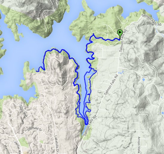
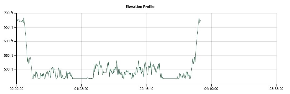
Distance: 10.5 Miles
Vertical Gain: 150'
Group Size: 1
Hike Rating: Easy Moderate Hard Strenuous
 GPX for
this trip
GPX for
this trip
| Start Coordinates: | N 38 44.867, W 121 03.603 | End Coordinates: | Same as Start Coordinates | ||
| Car Shuttle Req'd: | No | Parking Directions: | Take Salmon Falls Road north from El Dorado Hills. Just past FredLena Ln and Easy Ln on your left, you will see a sign for Falcon Crest on the left hand side at the coordinates provided. This is the area to park. There is no charge to park here. | ||
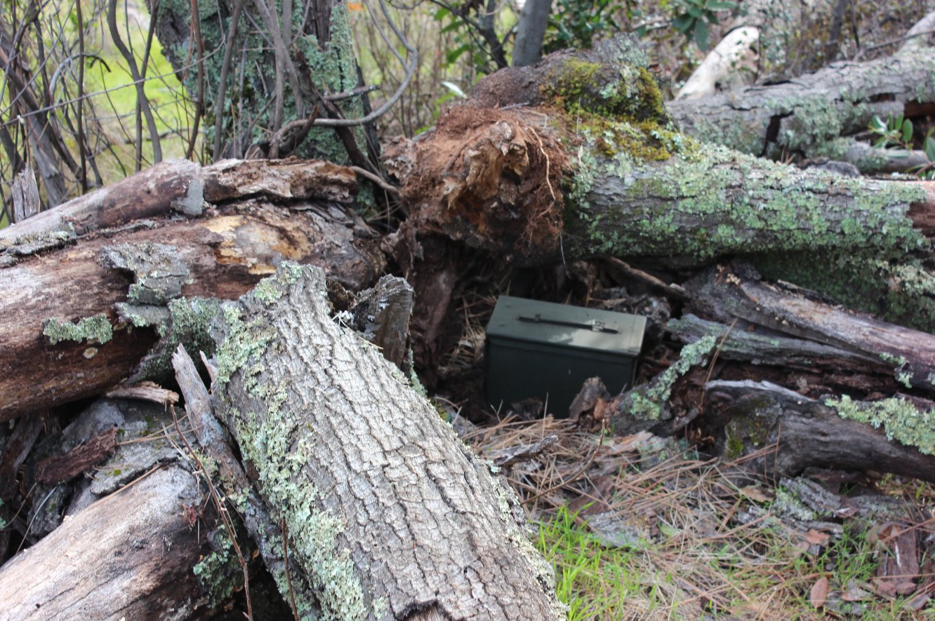
| Hazards of Note: | Rattlesnakes, ticks, poison oak, mountain lions. | Crowd Factor: | Moderate to busy. On the weekends especially this area is popular but the further out you get the less people you will run into along the way. | ||
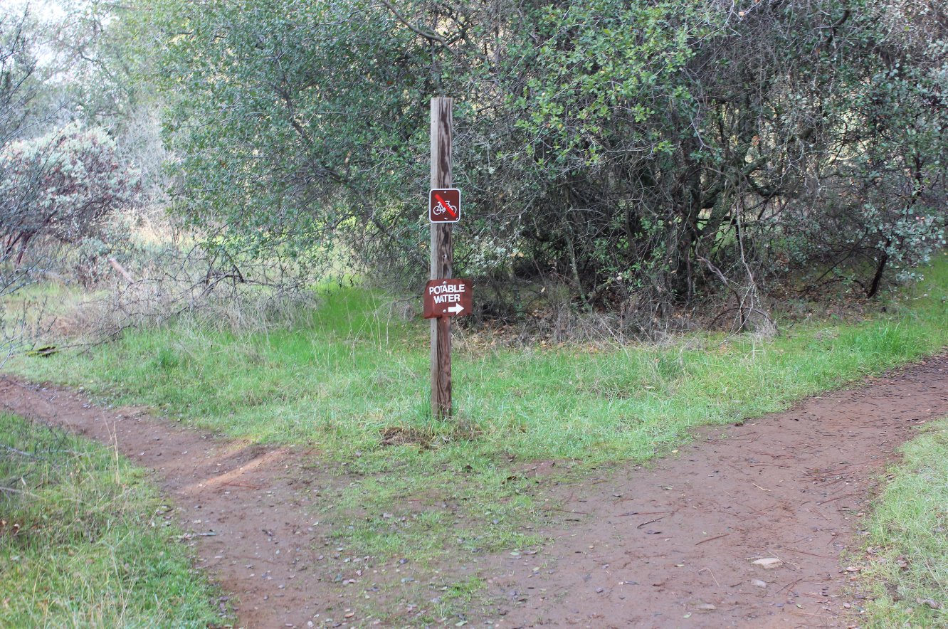
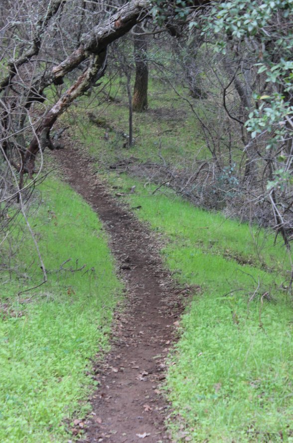
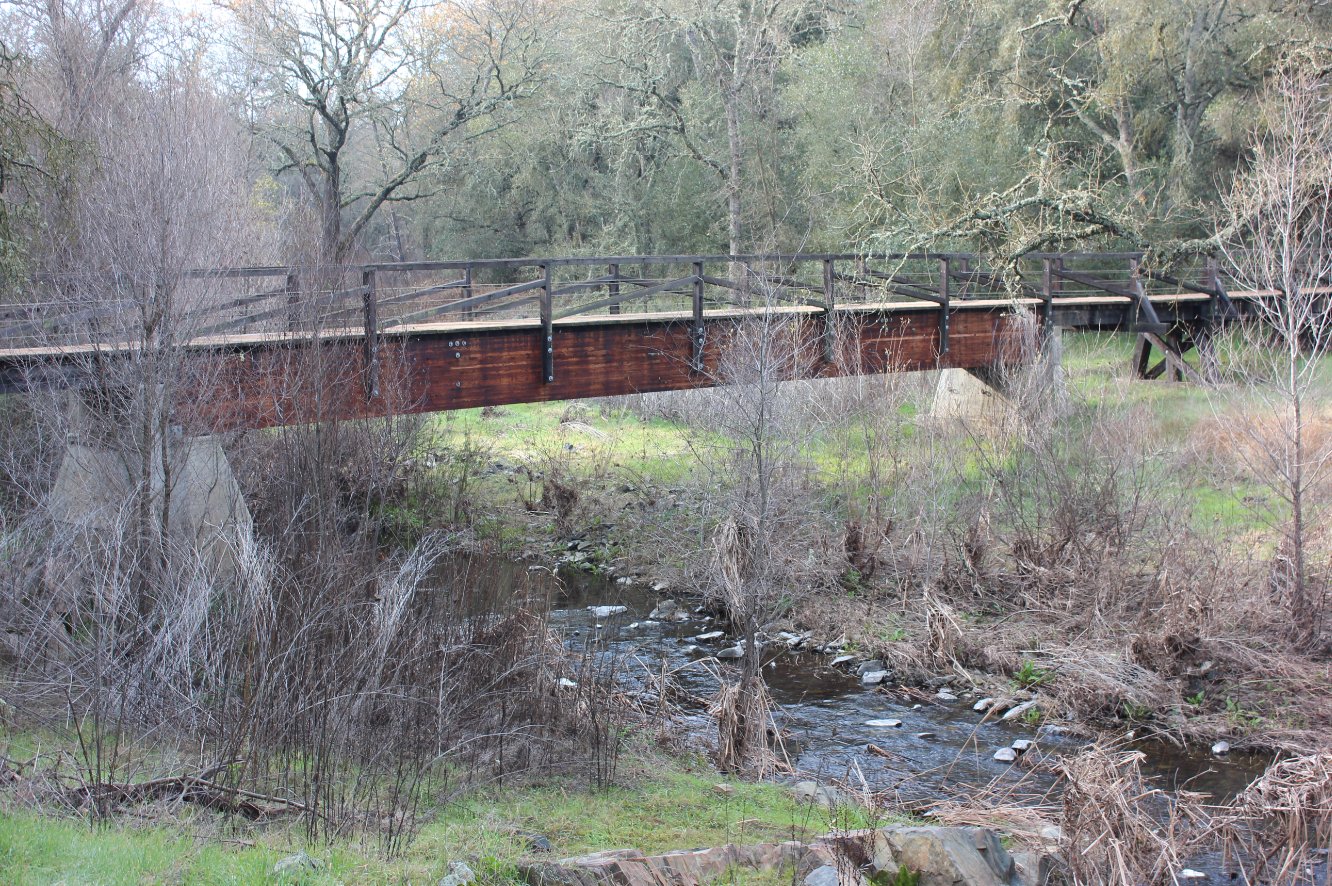
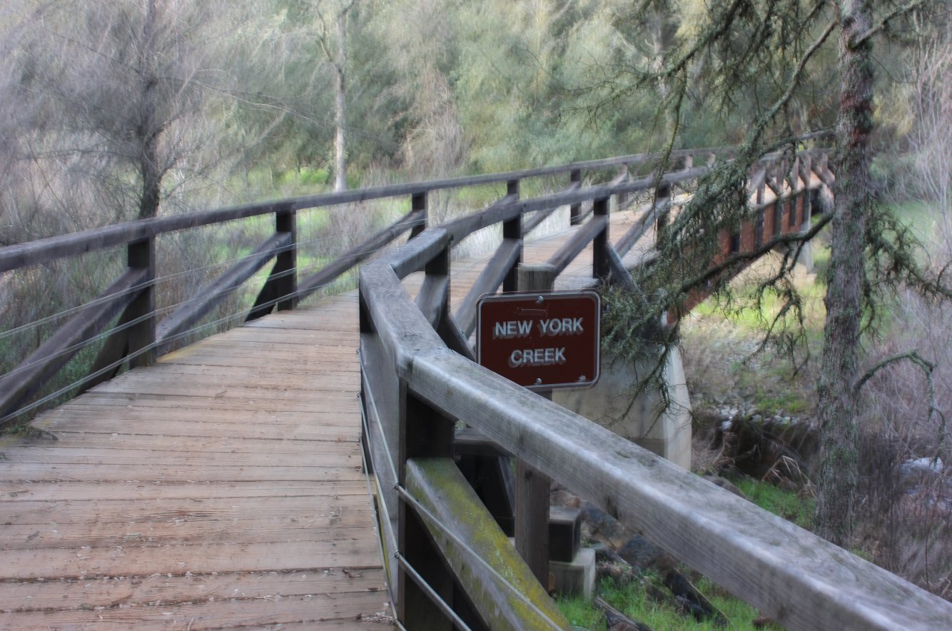
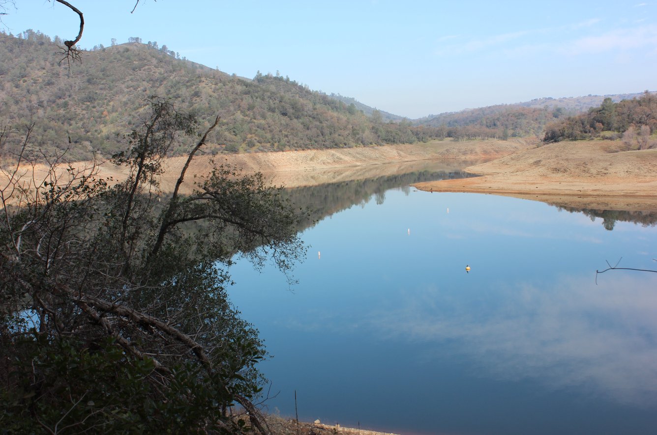
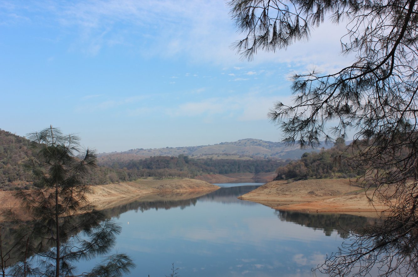
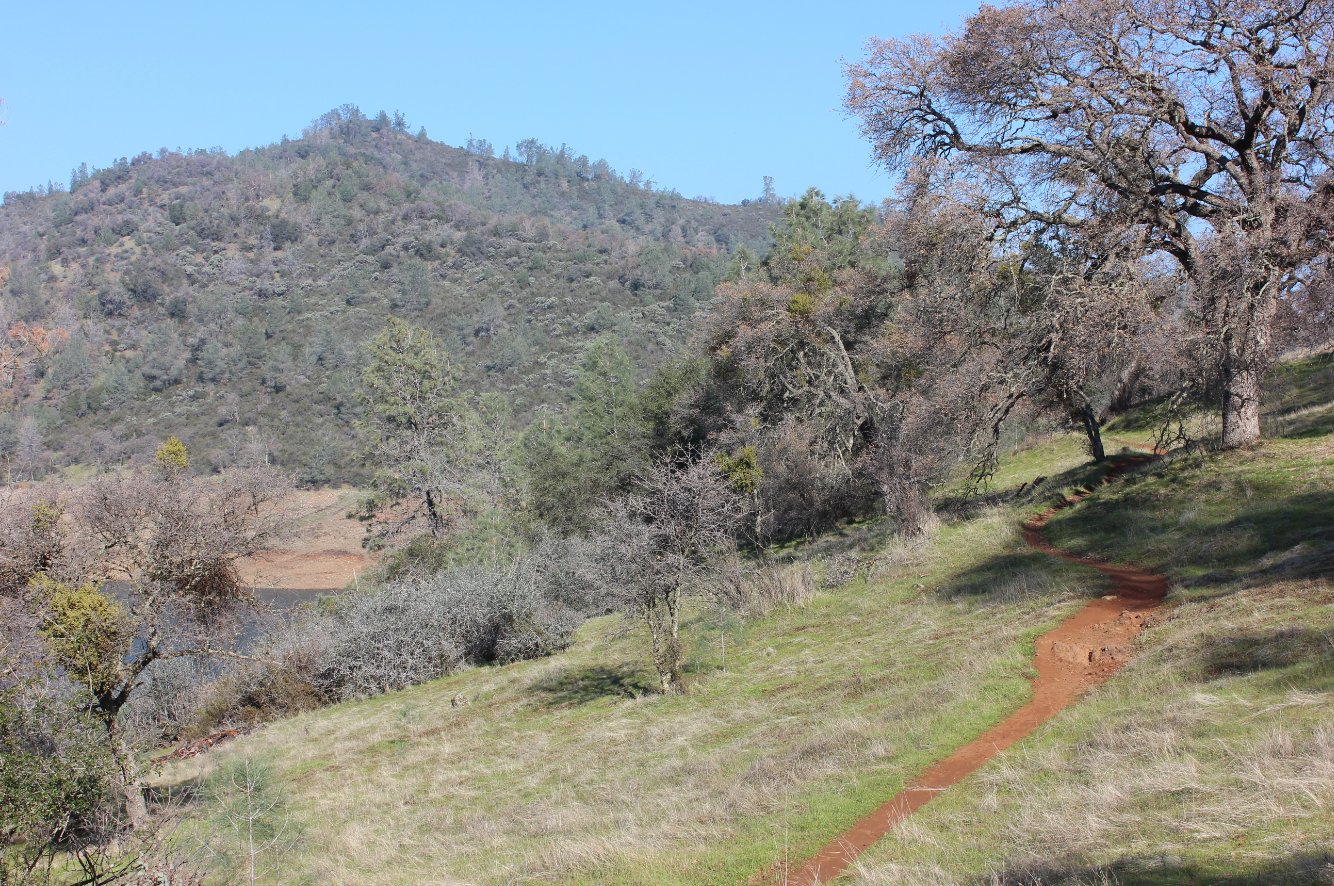
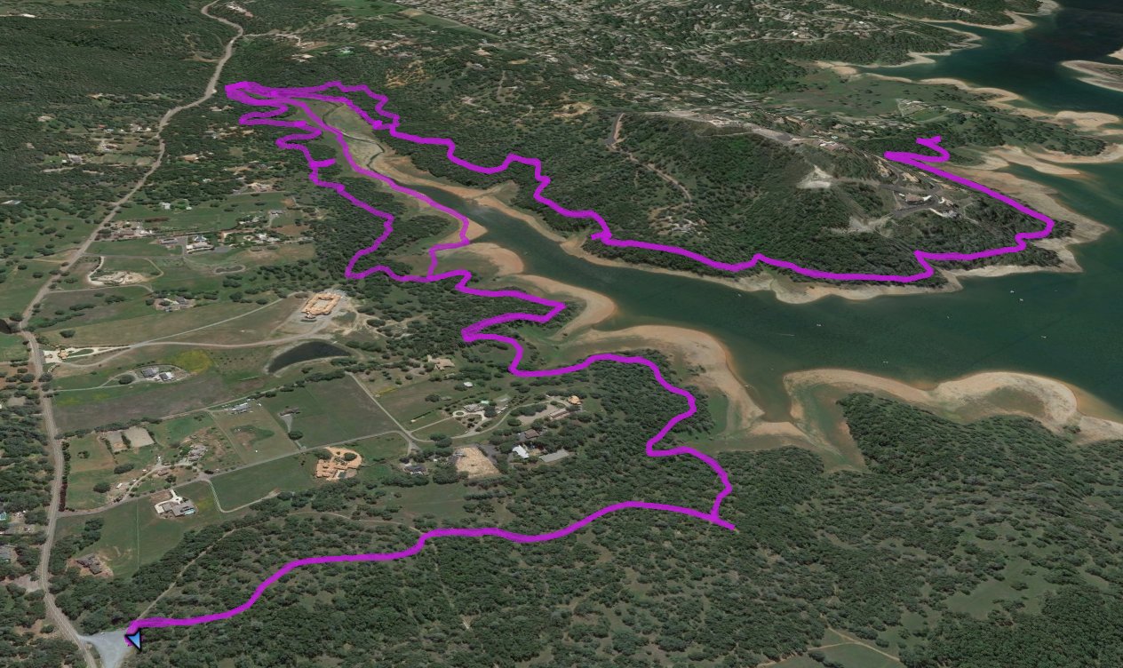
| General Notes: The hike starts out at a signpost near the left side of the parking area. You will come to a junction very early in the hike, and turn left, away from the the sign to "Potable Water." About another half mile there is a smaller junction to the left that you will take, once again away from a sign a little further up the incorrect trail that points to Potable Water. If you miss this simply turn around and head back to the junction to take the smaller trail south. This trail stays between the water area on your west and private homes on the east side. Many owner access trails come down from homes to meet the main trail, but it is easy to stay on and wind around for a couple of miles. You will cross New York Creek at a large trestle bridge, and then head back north again on the opposite side of the water area. Stay on this for as long as you want to go (all the way to Brown's Ravine if you desire) or turn around at any point to make this an out and back trip. |
|||||