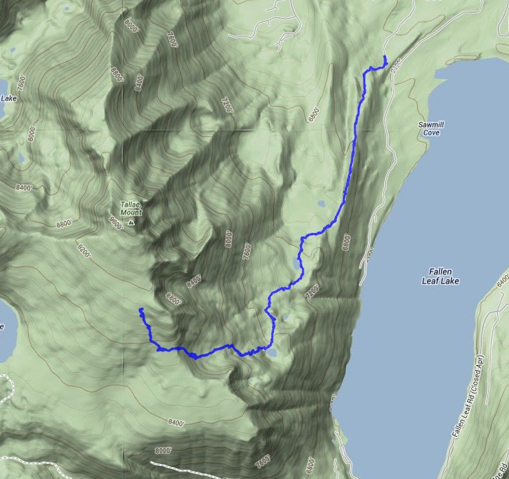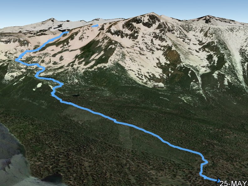
Distance: 8.0 Miles
Vertical Gain: 2700'
Group Size: 4
Hike Rating: Easy Moderate Hard Strenuous

 GPX for
this trip

| Start Coordinates: | N 38 55.294, W 120 04.094 | End Coordinates: | Same as Start Coordinates | ||
| Car Shuttle Req'd: | No | Parking Directions: | Take Highway 50 to South Lake Tahoe. Turn onto Highway 89 toward Emerald Bay, and head 4 miles north. Turn left at Mt. Tallac Rd, and follow the road in to the trailhead. | ||
| Hazards of Note: | Rock scrambling and some exposed dropoffs near the top.. | Crowd Factor: | Moderate to High. This a popular trail into a couple of beautiful alpine lakes as well as to the top of the mountain. | ||
| General Notes: From the parking area, start along the trail, passing by Floating Island and Cathedral Lakes on the way with very moderate elevation gain at this point. Past Cathedral Lake is where the elevation gain begins in earnest, and you will climb significantly until you reach the peak. |
|||||

