Distance: 11.5 Miles
Vertical Gain: 1100'
Group Size: 1
Hike Rating: Easy Moderate Hard Strenuous

 GPX for
this trip

| Start Coordinates: | N 39 18.789, W 119 53.857 | End Coordinates: | Same as Start Coordinates | ||
| Car Shuttle Req'd: | No | Parking Directions: | Take the Mt. Rose highway from Incline Village north or from Reno south, and park at the summit area parking lot at the posted coordinates. It is an access point for the Tahoe Rim Trail, and is very clearly marked. | ||
| Hazards of Note: | Dry area with limited
available water High winds at the summit |
Crowd Factor: | Moderate; popular with dog walkers | ||
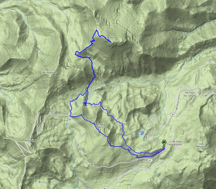
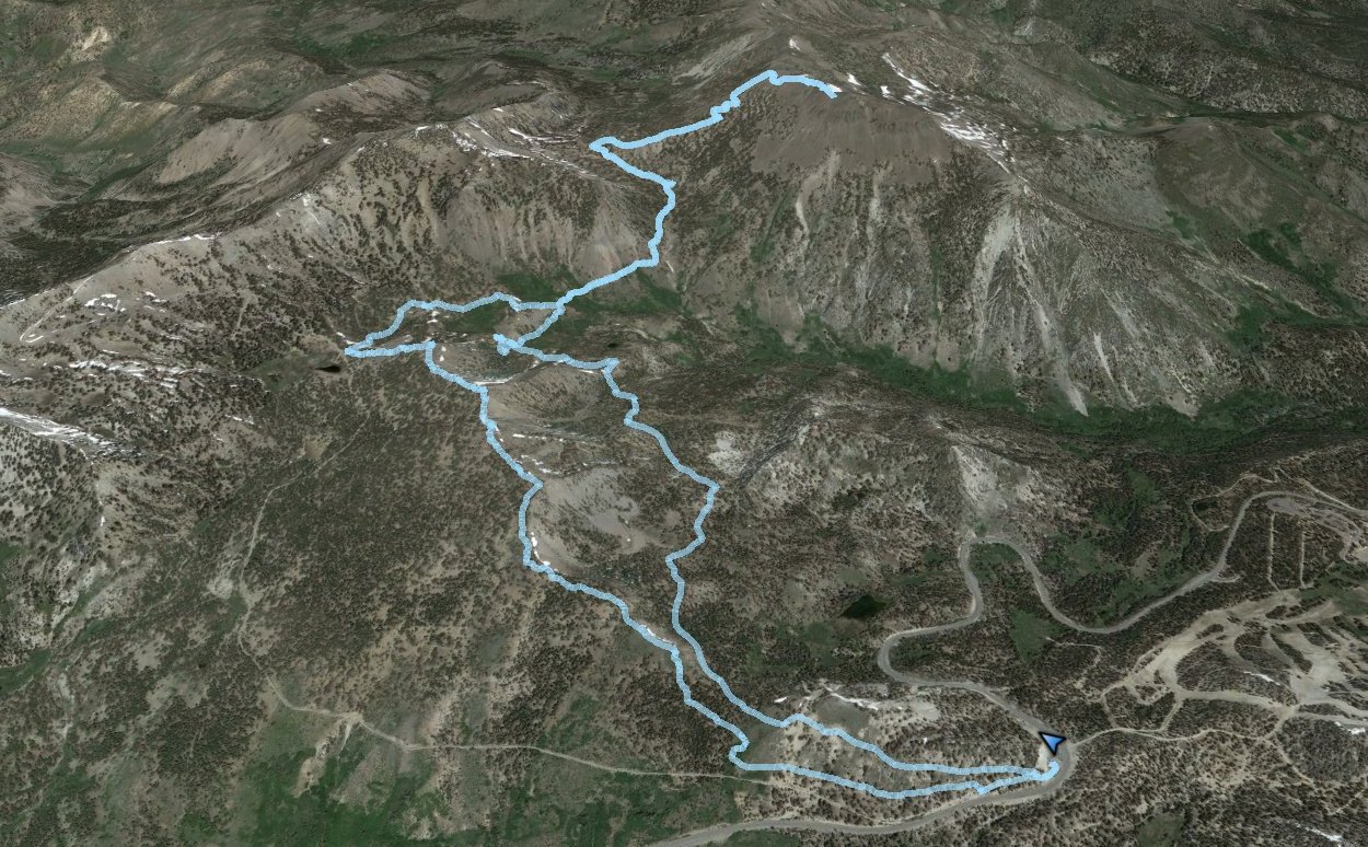
| General Notes: Start the hike on the trail behind the information building and bathrooms at the south end of the parking lot. Right away you will have the choice to either take the old road (Forest Road 051) or up some stairs to your right which is marked as being for hikers only. This is the 'new' Mt. Rose trail, and the slightly faster way to the summit. The first 2 and 1/2 miles are relatively smooth with very little elevation gain. You will be walking along the north side of the Tamarack ridge, coming to a waterfall that is part of the Galena Creek where there is another signed junction to either head west toward Relay Peak or to turn north toward the summit of Mt. Rose. Head north. From this point the trail climbs significantly, as you gain over 1300 feet on your way from here to the top of the mountain. This mountain is known for its constantly windy conditions, and a windbreaker is highly suggested. The top has great views north toward Reno and south toward Lake Tahoe, and there are a couple of wind breaks there to have a nice place to have lunch and rest up from the steady cold winds. On the way back down, to get to the Tamarack Ridge, take a right at a signed junction (old access to Relay Peak) and head up above the waterfall passed by earlier to a meadow area where a couple of springs come out of the rocks and start the Galena creek. Just before this trail joins up with a signed junction for Forest Service road 051, head cross-country up the ridge in a NNE direction until you attain the summit of Tamarack Peak. There were a few use trails that I picked up across the top, but once you have gained the ridgeline the elevation gain is relatively easy. At the eastern edge of the ridge you can either pick up the New Mt. Rose trail by heading down on the north side, or pick up the Tahoe Rim Trail by heading down the south side (my path.) |
|||||
