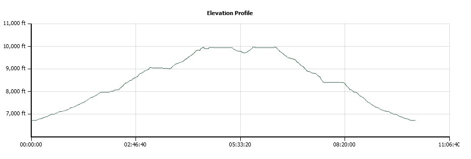
Distance: 14.5 Miles
Vertical Gain: 3200'
Group Size: 4
Hike Rating: Easy Moderate Hard Strenuous
 GPX for
this trip
| Start Coordinates: | N 38 48.619, W 120 14.369 | End Coordinates: | Same as Start Coordinates | ||
| Car Shuttle Req'd: | No | Parking Directions: | Take Highway 50 to Wrights Road. Follow the road to the north for a couple of miles until you reach the Lyons Creek Trailhead parking area at the provided coordinates. | ||
| Hazards of Note: | None. | Crowd Factor: | Moderate. This is one of the popular entrances to Desolation Wilderness. | ||
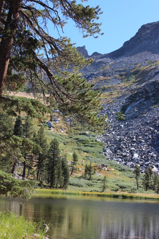
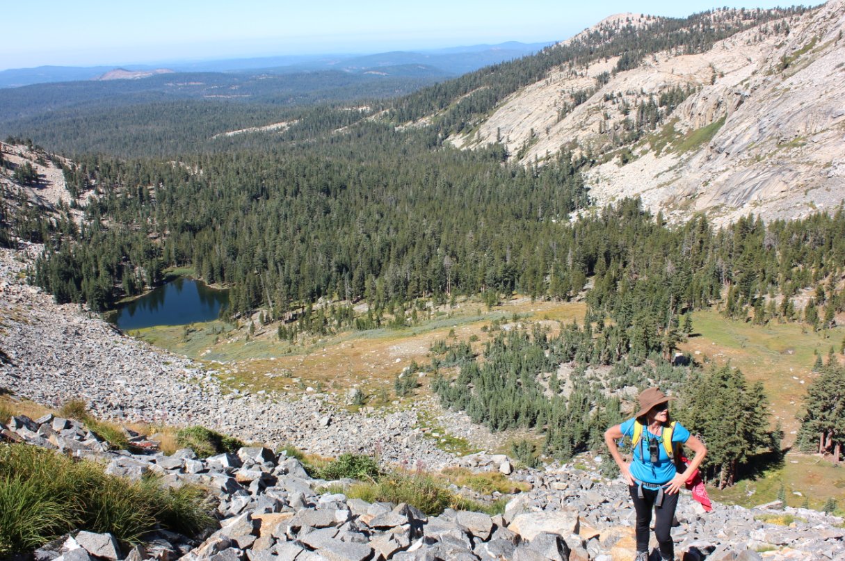
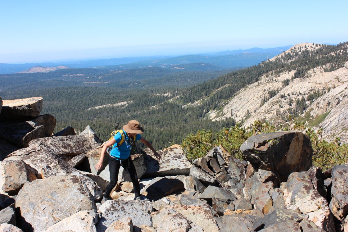
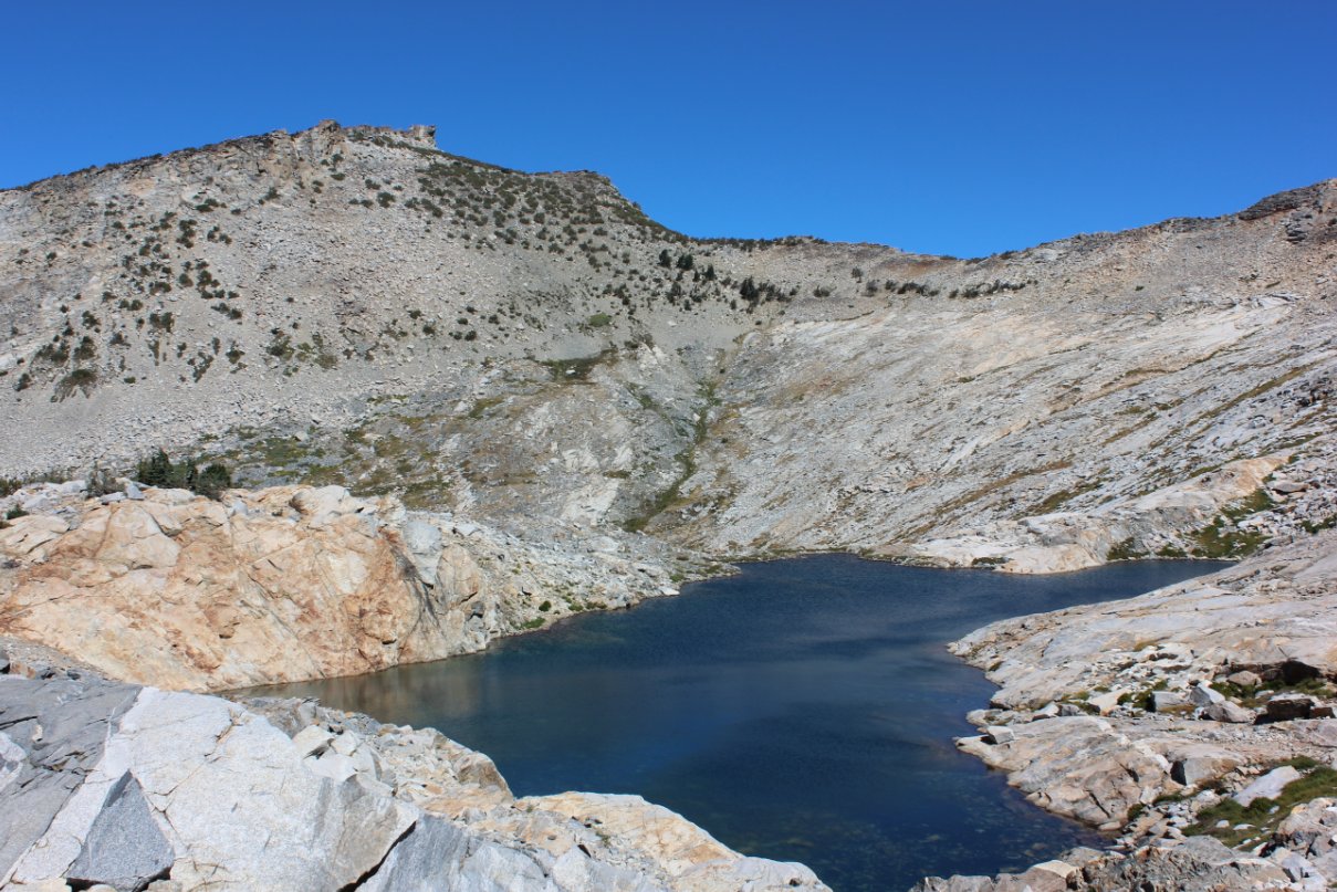
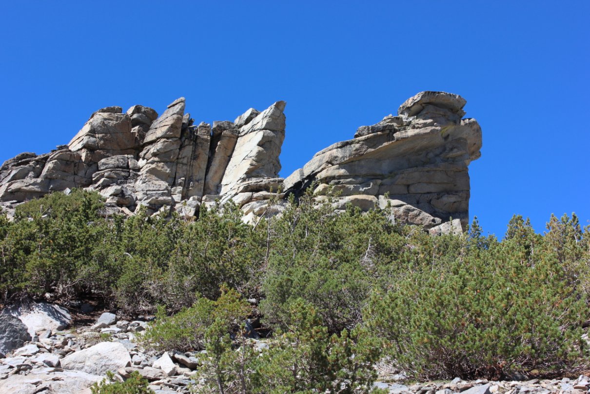
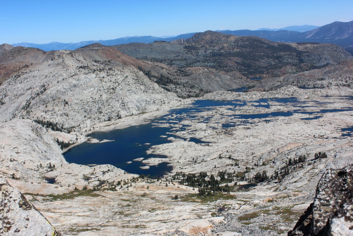
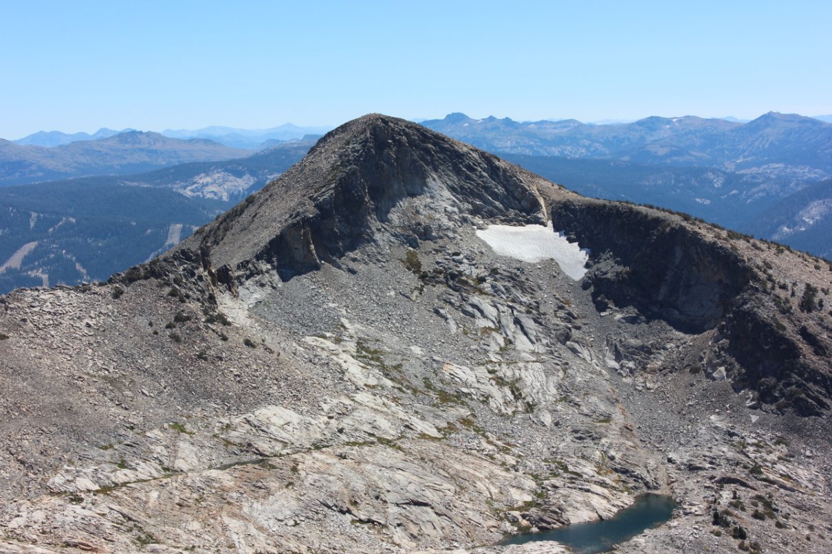
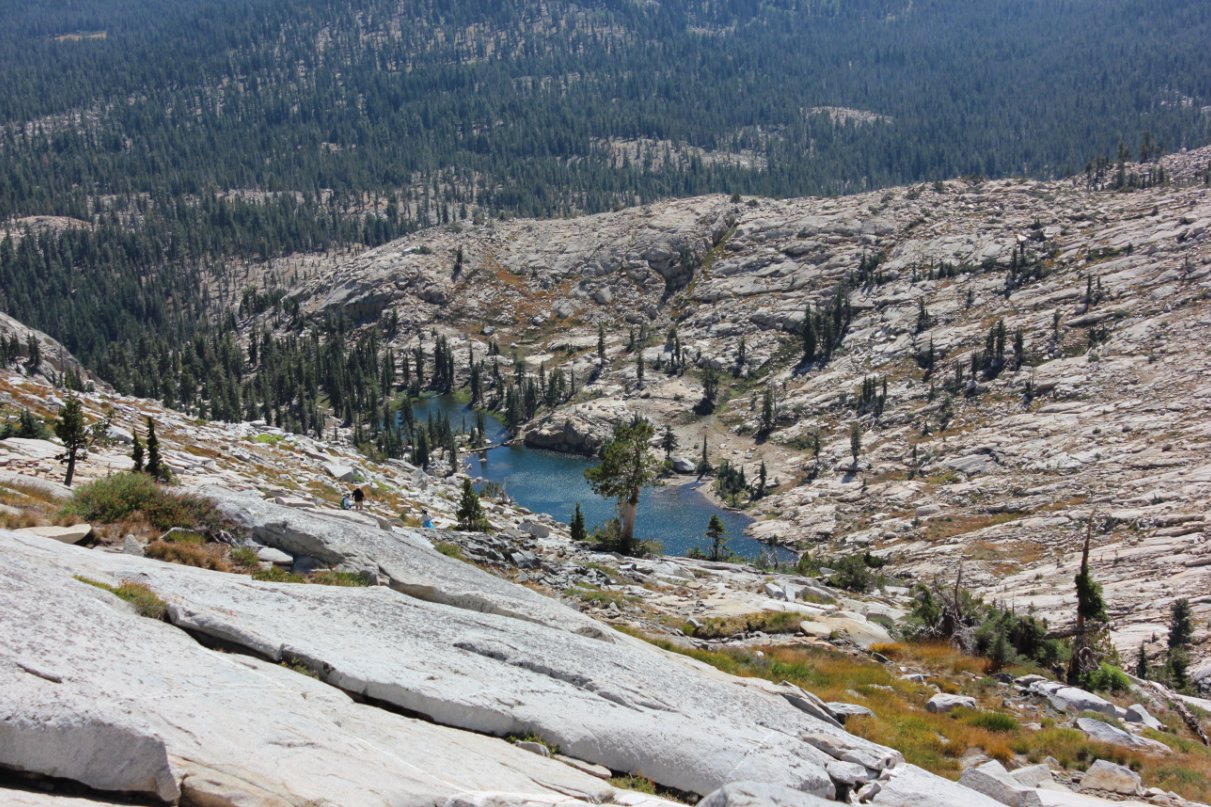
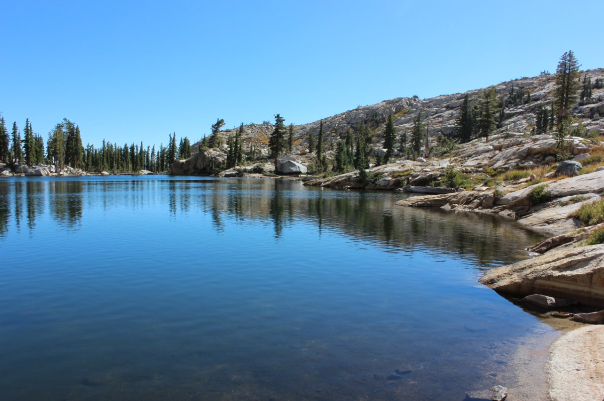
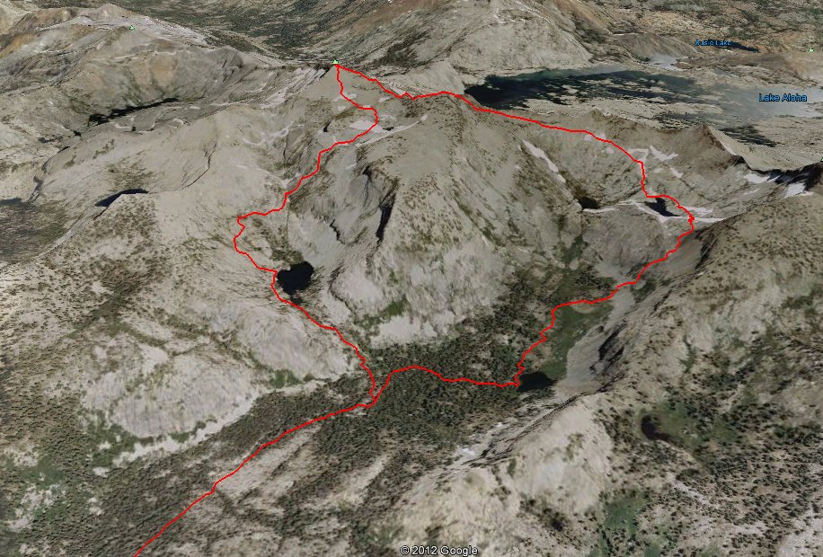
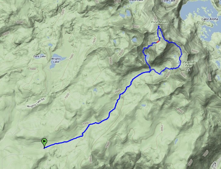
| General Notes: From the parking area, head east up the Lyon's Creek Trail. This will continue through forest and meadow areas for about 4 miles, until you reach the boundary of Desolation Wilderness. From this point on the trail begins to rise, until you reach a signed trail junction to either Lyon's Lake or Sylvia Lake. Head up toward Sylvia Lake, and then follow it along the west shore until you start a climb up the talus field, heading toward the unnamed summit between Pyramid Peak on your right an Agassiz on the left. There are many ways up from here, and route-finding is a major part of this section of the trail. Once you get above the talus field, there are a couple of small tarns (mountain lakes) which you will head around the east side of, and then generally head up to the ridgeline and then continue all the way to Mt. Agassiz. After Mt. Agassiz the trail over to Mt. Price seems pretty tame, along scree with a use trail leading the way. The section from Mt. Price down to Lyon's Lake will once again require significant route-finding, and there are some very large boulders coming down into Lyon's Lake from the north side of the water. Continue around the west side of the lake, until you pick up the trail back down to the junction of the Lyon's and Sylvia Lakes trails, and then head back down Lyon's Creek trail to the trailhead. |
|||||

