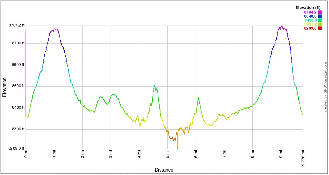
Distance: 9.7 Miles
Vertical Gain: 1800'
Group Size: 4
Hike Rating: Easy Moderate Hard Strenuous

 GPX
for
this trip
| Start Coordinates: | N 38 41.813, W 120 00.204 | End Coordinates: | Same as start coordinates | ||
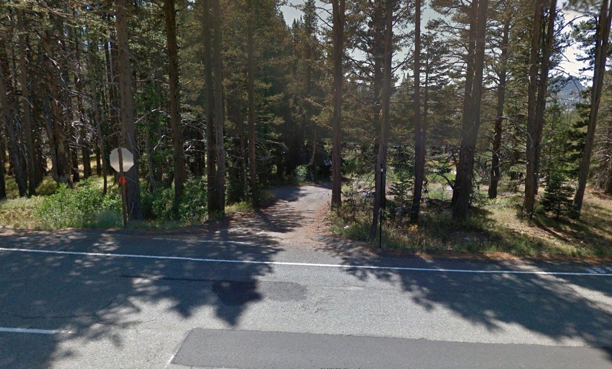
| Car Shuttle Req'd: | Yes | Parking Directions: | Take to a small turnout with a stop sign coming out of it about 1/2 mile west of the Carson Pass Information Station at the summit. The parking area is just about 50 feet down this turnoff on the south side of the road. | ||
| Hazards of Note: | Be cautious crossing Highway
88 from the parking area. To the west is a bend in the road
where cars will not have much time to see you. The on trail
sections of the hike are clearly marked. The off-trail
sections require good navigational skills and decision making where
some steep drop-offs can be avoided easily. The south side of
Meiss Lake is very wet meadow and can have deep pockets of water from
time to time. |
Crowd Factor: | Moderate on trail - Negligible
off-trail |
||
| General
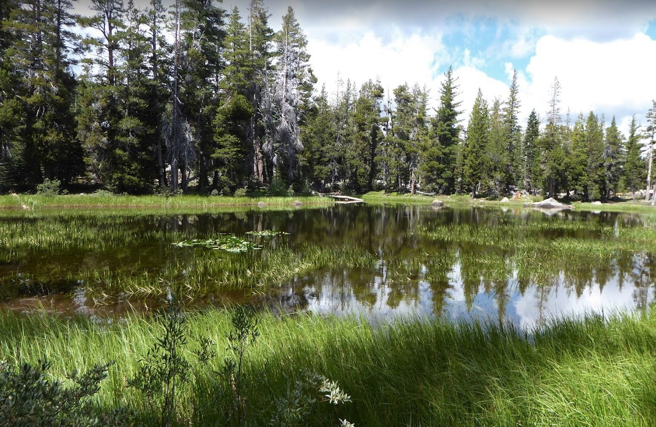
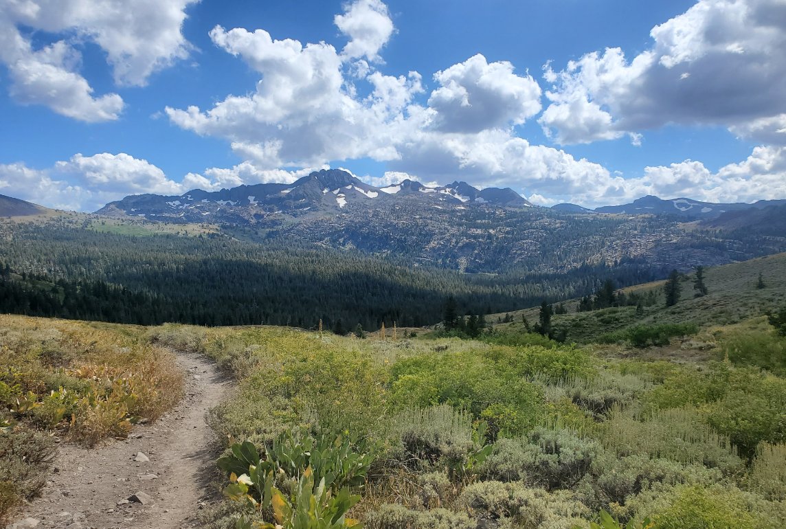
Notes: From the parking area, cross over Highway 88 and you will find a well-defined trail heading north that is not on any map of any kind. Follow this trail for about 3/4 of a mile until you reach the Pacific Crest Trail which headed north from Carson Pass. Using this little-known trail will cut two miles off of your trek -- one in each direction. From the PCT you will head north up and over the ridgeline to drop down into Lake Valley. When you reach the junction with the Tahoe Rim Trail (TRT) and the PCT, turn to the right on the TRT, and head north for about a mile until you cross a small creek. From here, you will leave the trail and travel cross-country for the entire time you are crossing Lake Valley and until you reach the PCT on the other side of Meiss Lake. When you reach the north end of Meiss Lake there are great views of the Little Round Top ridgeline across the lake, and then you will head northwest toward the Four Lakes if you choose to visit them as well. The second one from the west is especially gorgeous and worth the effort to get there. Between these lakes and the PCT is the Truckee River, near where it starts but still something that will have to be negotiated carefully. Especially in the spring be cautious of the slippery rocks and the places where there are actually two crossings with an 'island' in the middle. Once back on the PCT you can choose to take a 1/2 mile detour to the north to visit Showers Lake, but if you have been there previously Meiss Lake is just as wonderful a destination with no others around. |
|||||


