|
|
Meeks
Bay to Phipps Peak (Desolation Wilderness)
|
|
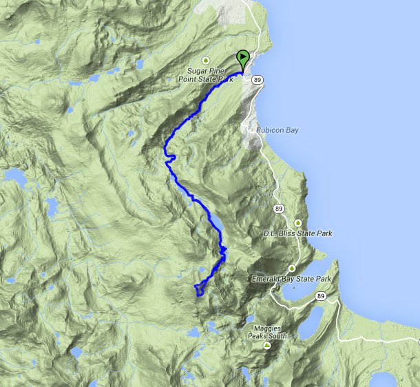
Trip Date: 10/28/2014
Distance: 20.1 Miles
Vertical Gain:
3300'
Group Size:
1
Hike Rating: Easy
Moderate
Hard
Strenuous |
 GPX for
this trip
GPX for
this trip
|
|
|
Start Coordinates: |
N 39 02.240, W 120 07.578 |
|
End Coordinates: |
Same as Start Coordinates
|
| Car Shuttle
Req'd: |
No |
|
Parking
Directions: |
Take
Highway 89 to Meeks Bay, which is north of Emerald Bay and DL Bliss
State Park. The trailhead parking is right near Mile Marker
#61,
at the provided coordinates. |
| Hazards of
Note: |
Well maintained trail, but
exceptionally long and bordering strenuous if doing the entire 20 miles. |
|
Crowd Factor: |
Minimal. This is one
of the least-frequented access points into Desolation Wilderness. |
General Notes:
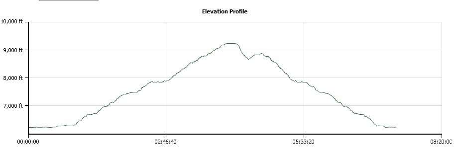
Starting
at the trailhead, the first mile is mostly along a dirt road which is
flat and wide. There are a couple of good views of Rubicon
Peak,
but then for the next three and a half miles you are mostly in a
forested area. The trail starts to climb gradually after the
first few miles.
When you reach the first of the many lakes along
this way, Genevieve, you have nearly 5 miles under your belt, and the
next lakes you will come to in order are Crag, Shadow, Stony Ridge, and
then finally Rubicon. The trail between Stony Ridge and
Rubicon
gains a lot of elevation, and there are many switchbacks over this
stretch which quickly add to the elevation gain.
Continue
past Rubicon Lake toward Phipps Pass, and you will soon be greeted with
a wonderful view into the heart of Desolation Wilderness, toward Dick's
Peak and Mt. Tallac, with the Velmas visible far below you as well.
Once you are anywhere from .3 to .4 miles from the top, you
can
leave the trail to cross country to the top, or you can continue on
your current trail past the peak and then find easier passage to the
top that way.
|
|
|
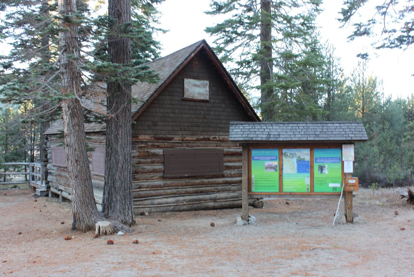
Trailhead parking area at
Meeks Bay entrance to Desolation Wilderness. |
 |
|
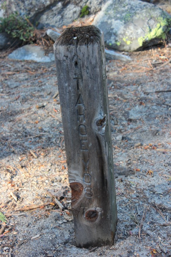
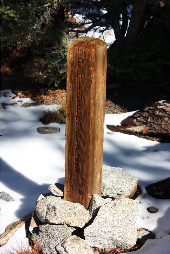
I was surprised to see this
marker given that I had always heard the Tahoe-Yosemite trail was
'unofficial.'
|
 |
|
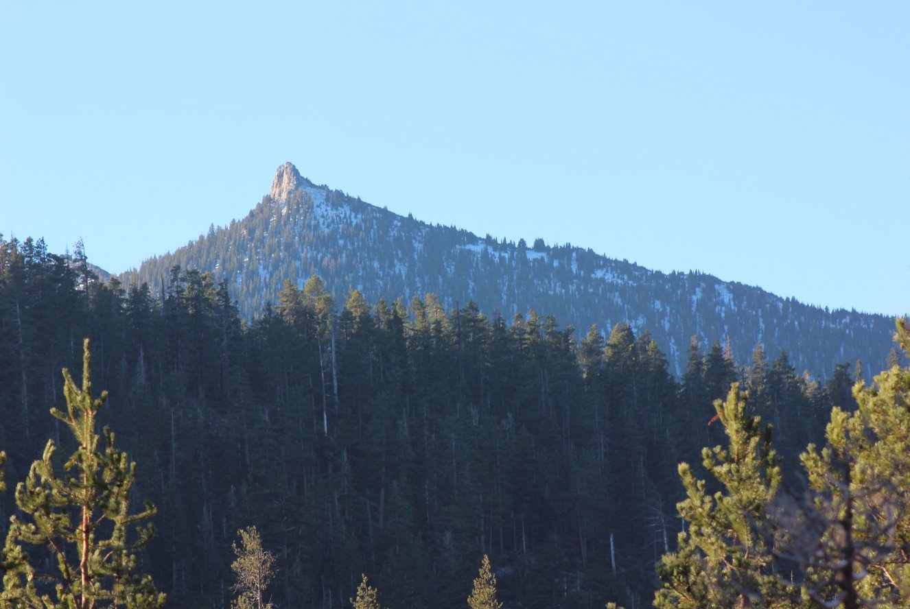
Nice view of Rubicon Peak to
the south of us from early on in the hike. |
 |
|
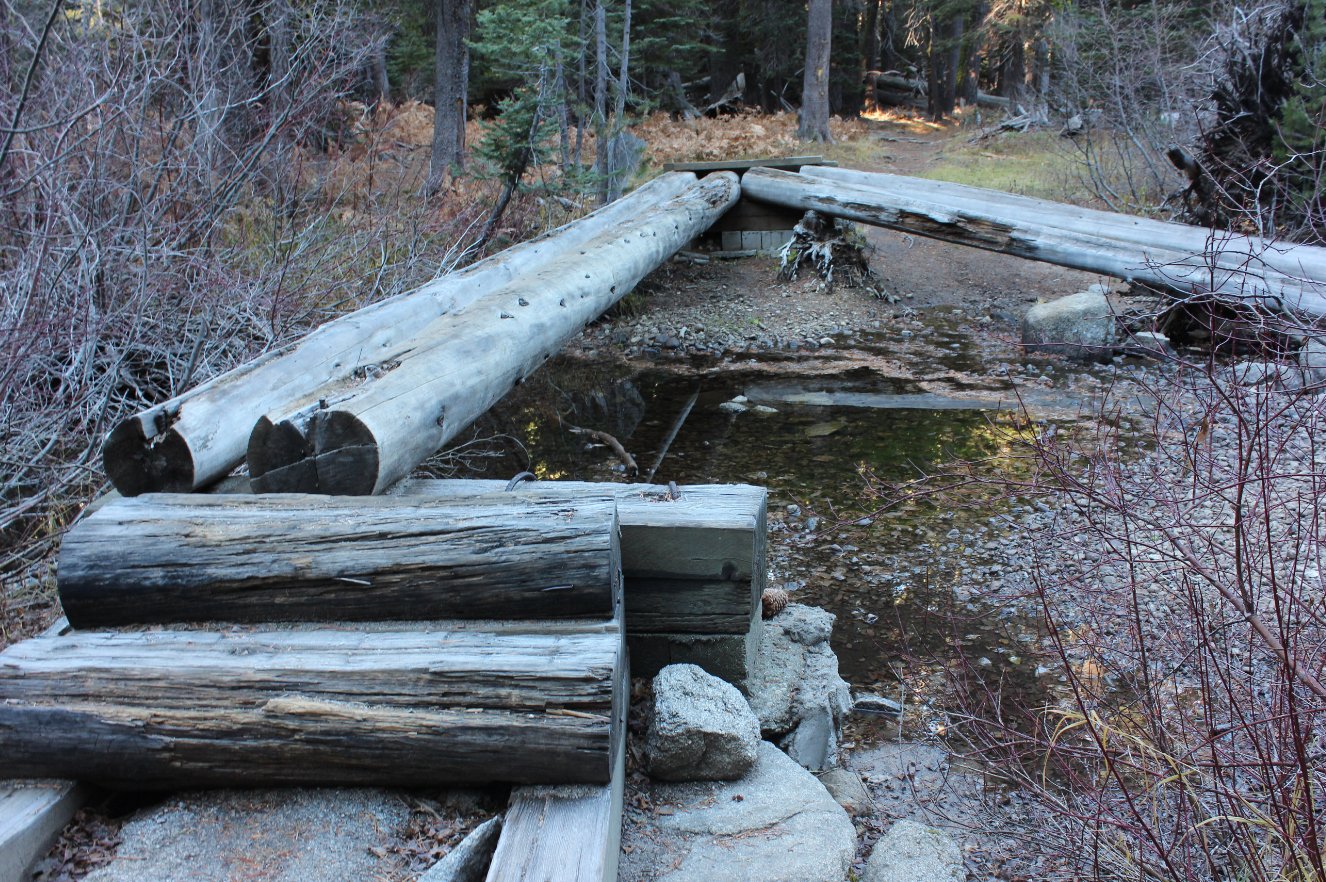
Nice
bridge over the river along the way, but I learned long ago that wet
logs without bark are just asking for trouble slipping off.
Went
around the rocks on the side in order to avoid trouble. |
 |
|
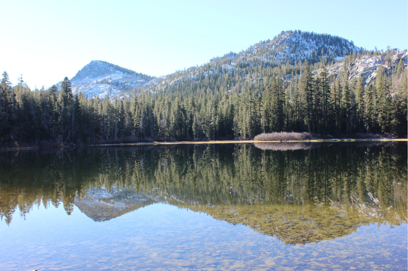
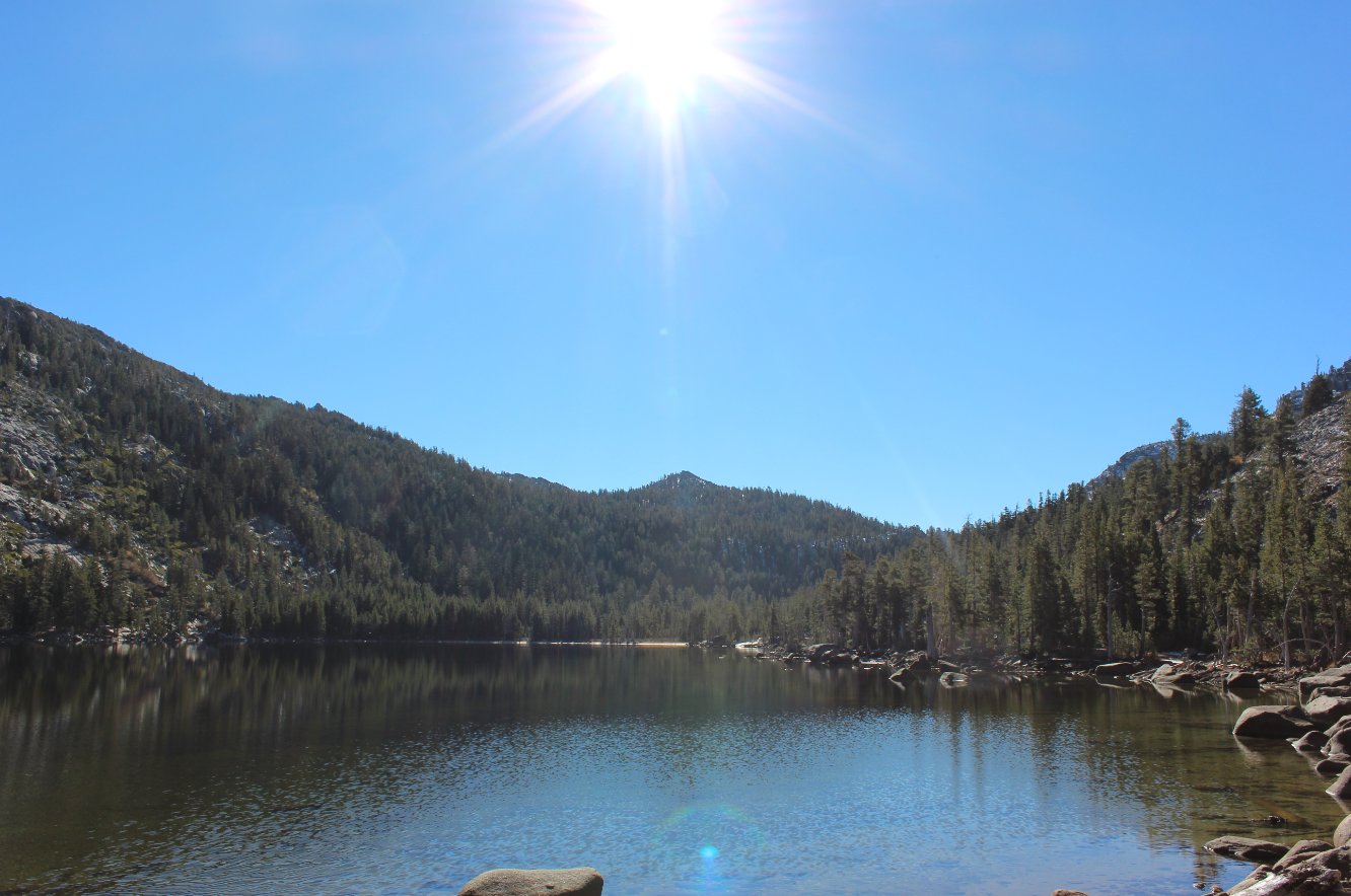
Genevieve Lake, the first of
many that you will pass hiking along this trail. |
 |
|
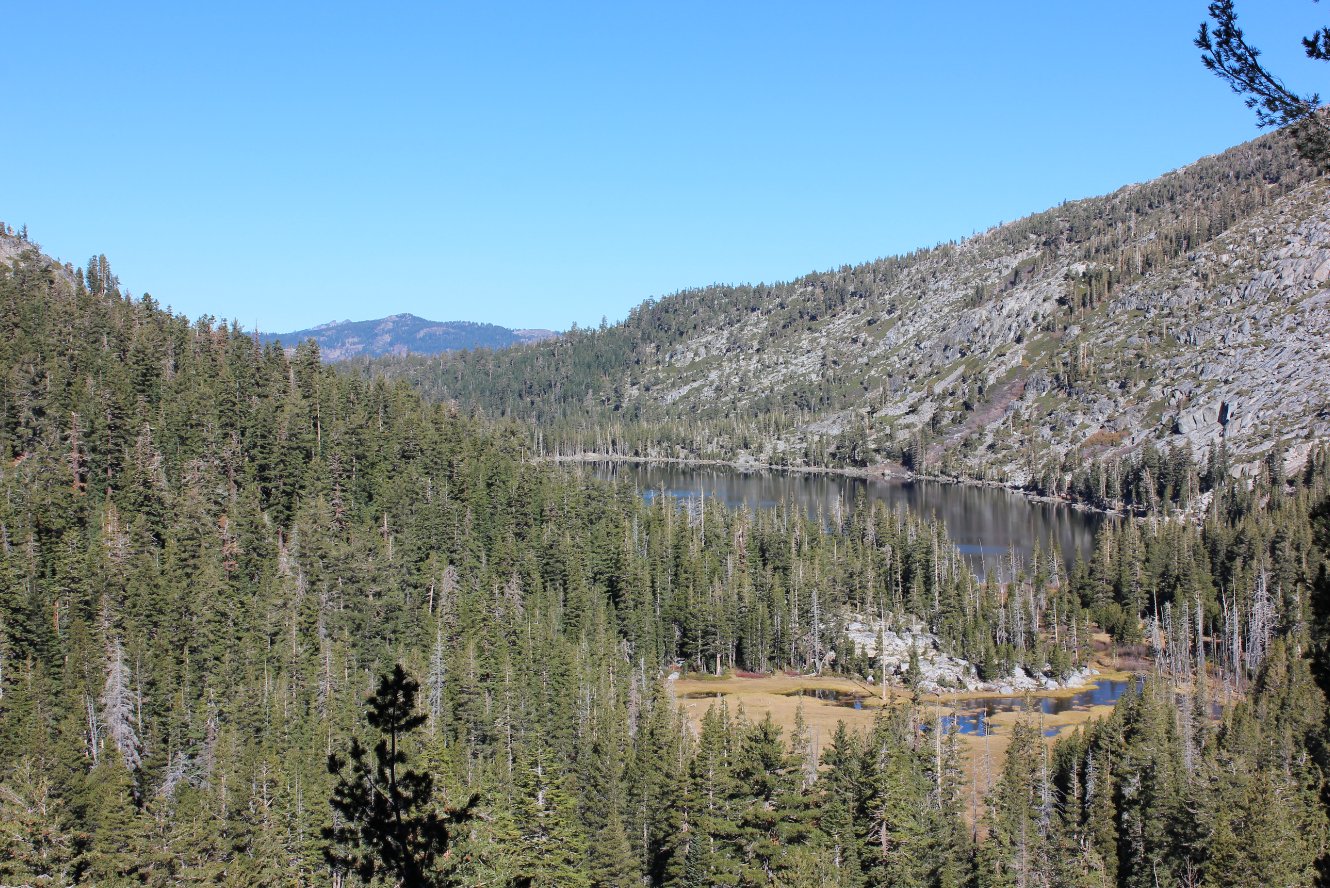
Just past
the first lake is Crag Lake, with a number of rocky islands with trees
growing on them which first caught my attention last year as I saw it
from the top of Rubicon Peak. Very nice spot. |
 |
|
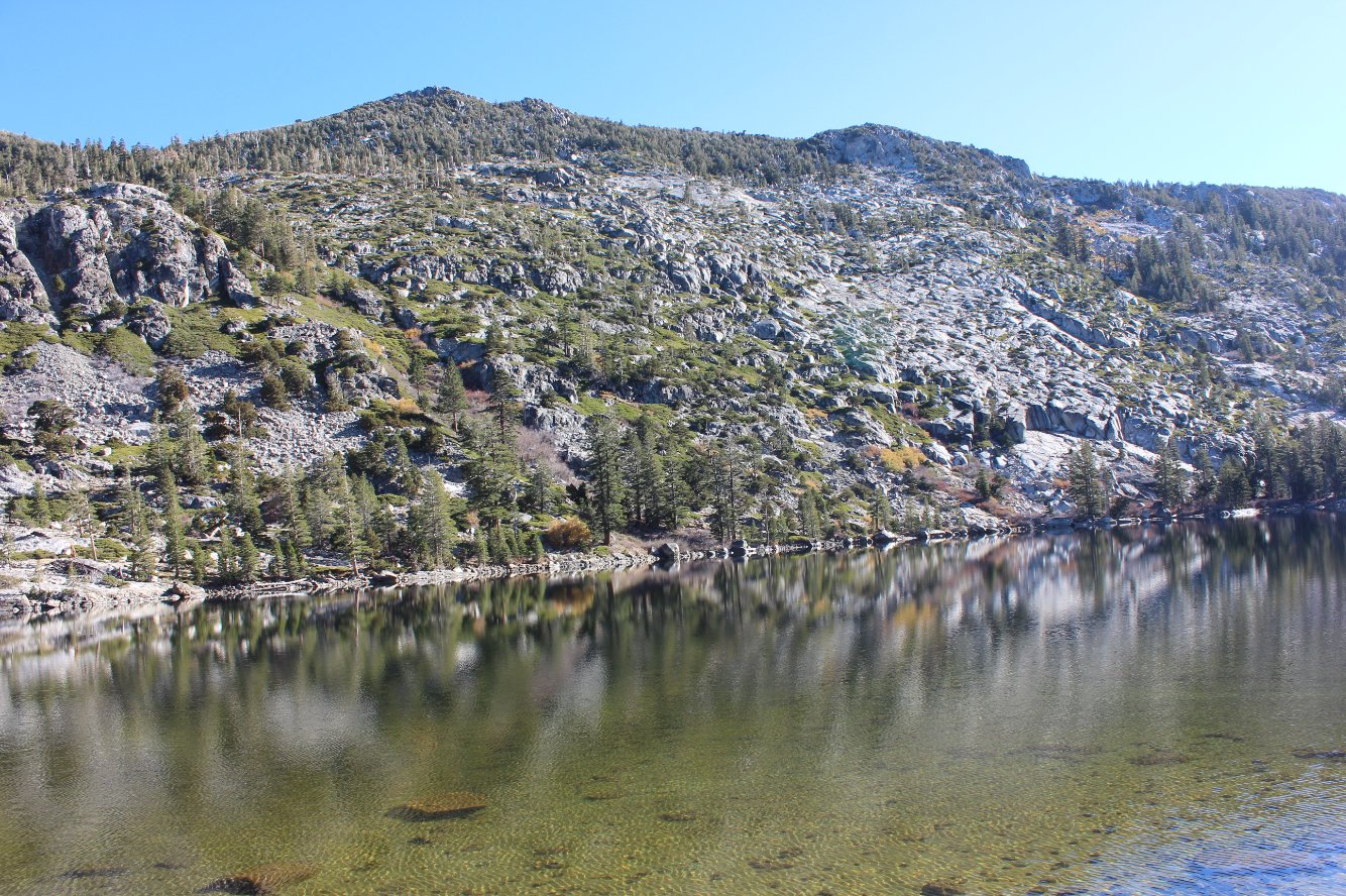
The next
lake I found worthy of a photograph is Stony Ridge Lake, the largest of
the ones found along this hike. The east side of the lake is
all
granite up to the peak, hence the name. |
 |
|
A good example of the reason
Stony Ridge Lake was named that. |
 |
|
Looking
back toward Stony Ridge Lake and the way the trail has passed,
including Ellis Peak in the distance and even Twin Peaks further behind
that. |
 |
|
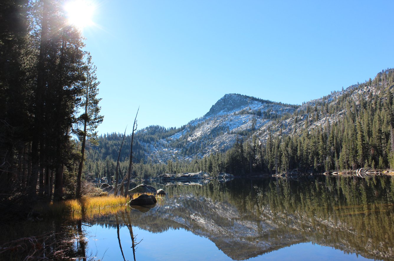
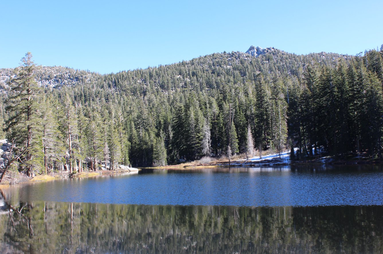
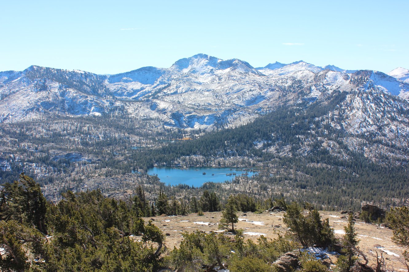
The
peaceful setting for Rubicon Lake, a good 500 feet in elevation above
Stony Ridge Lake. Snow on the ground from the previous week
showed me that this hadn't been visited at least since that time. |
 |
|
The trail just continues up
for the rest of the way to the peak, following the Phipps Pass markers
all along the way. |
 |
|
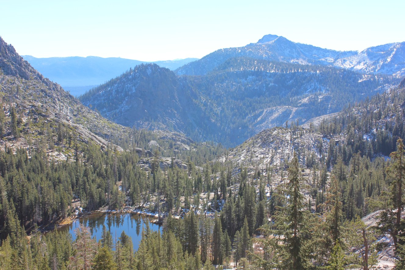
From Phipps Pass, the view
above Goose Lakes below toward Mt. Tallac is just a preview of what's
to come. |
 |
|
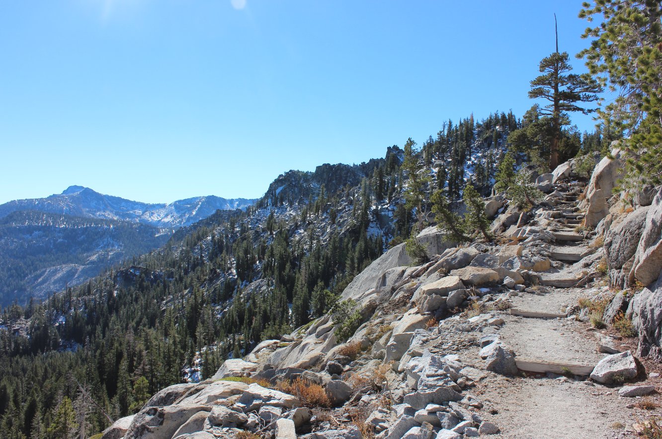
The rocky trail up Phipps Pass
that did its best to show off the beauty of Desolation Wilderness below. |
 |
|
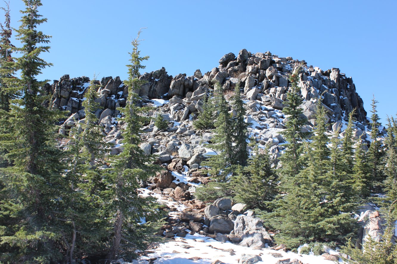
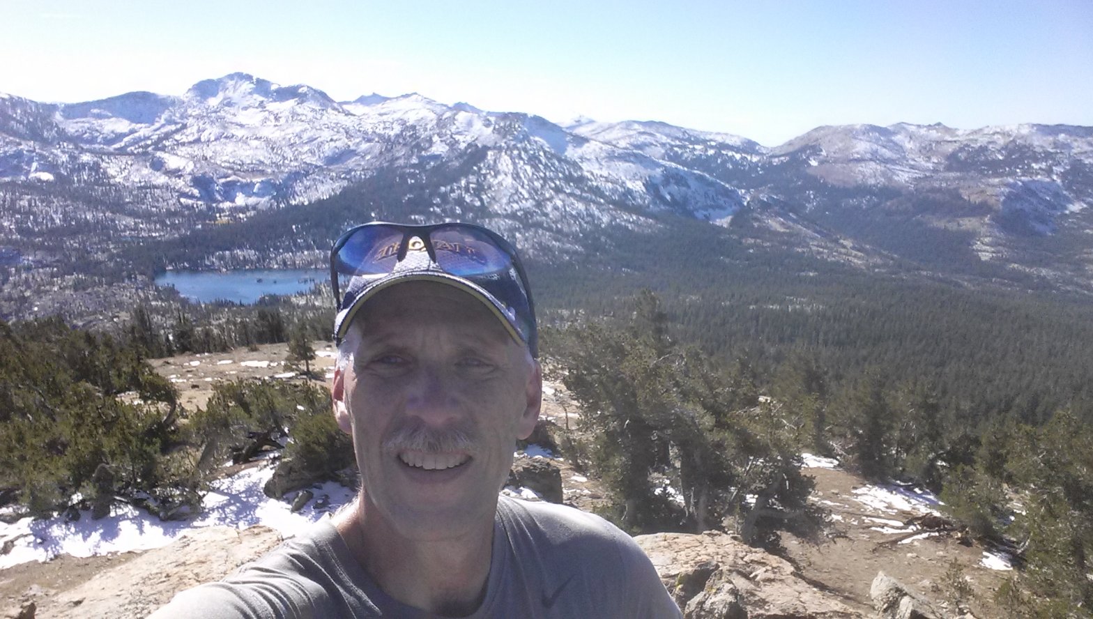
Only
.2 miles away, the top of Phipps Peak looks to be an imposing climb
after already having logged 10 miles on the day. But it's
worth
every moment for the views at the top. |
 |
|
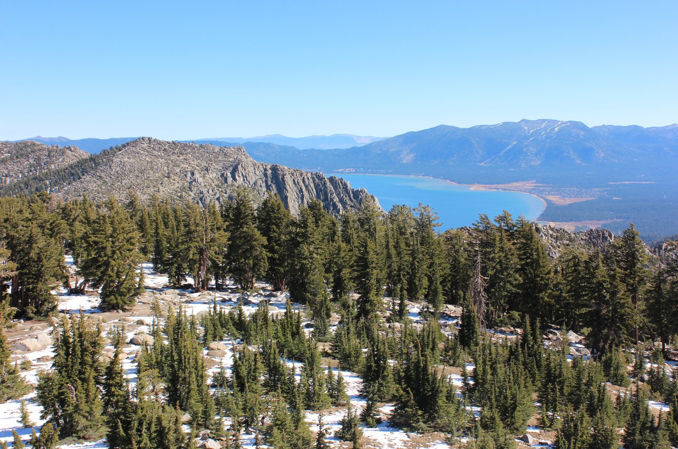
Lake Tahoe and the South Shore
in the distance from the top of Phipps Peak. |
 |
|
From
the peak, look south into the heart of the Velma Lakes basin, with
Dick's Peak directly behind and Upper Velma and Fontanillis Lakes
visible above Middle Velma in the front. |
 |
|
Looking
back toward Stony Ridge Lake and the way the trail has passed,
including Ellis Peak in the distance and even Twin Peaks further behind
that. |
 |
|
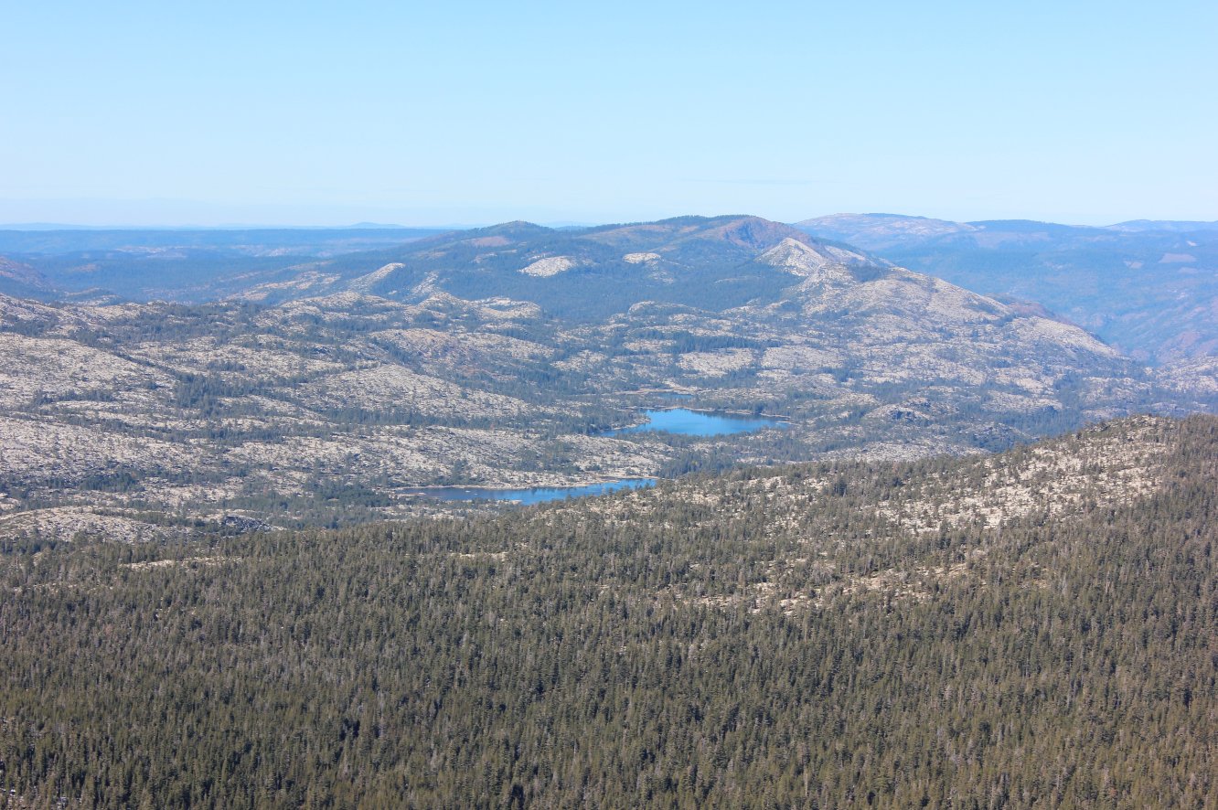
Rockbound
Valley to the Northwest, as seen from the Peak. Rockbound
Lake
and Buck Island Lake are visible, as well as the mountains which lie
just north of the not visible Loon Lake. |
 |
|
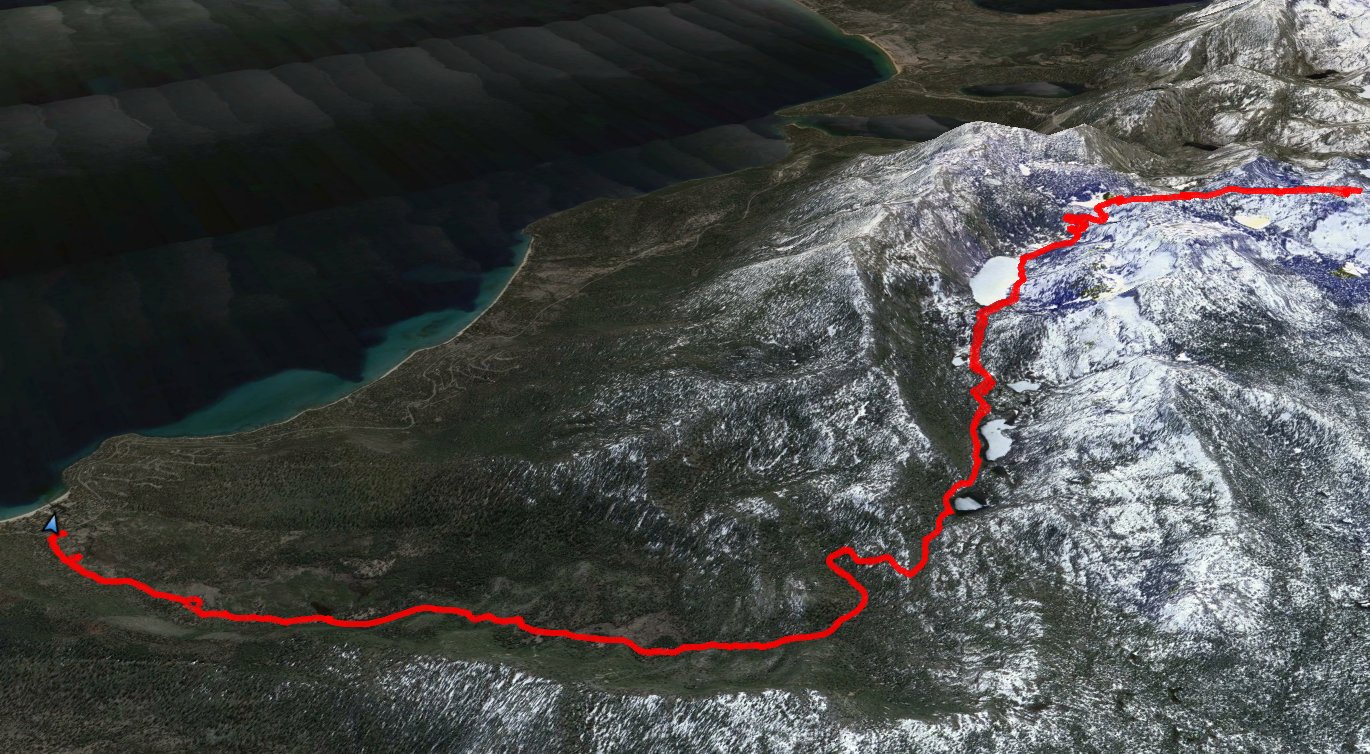
GPS track of the hike starting
at the bottom left. |
 |