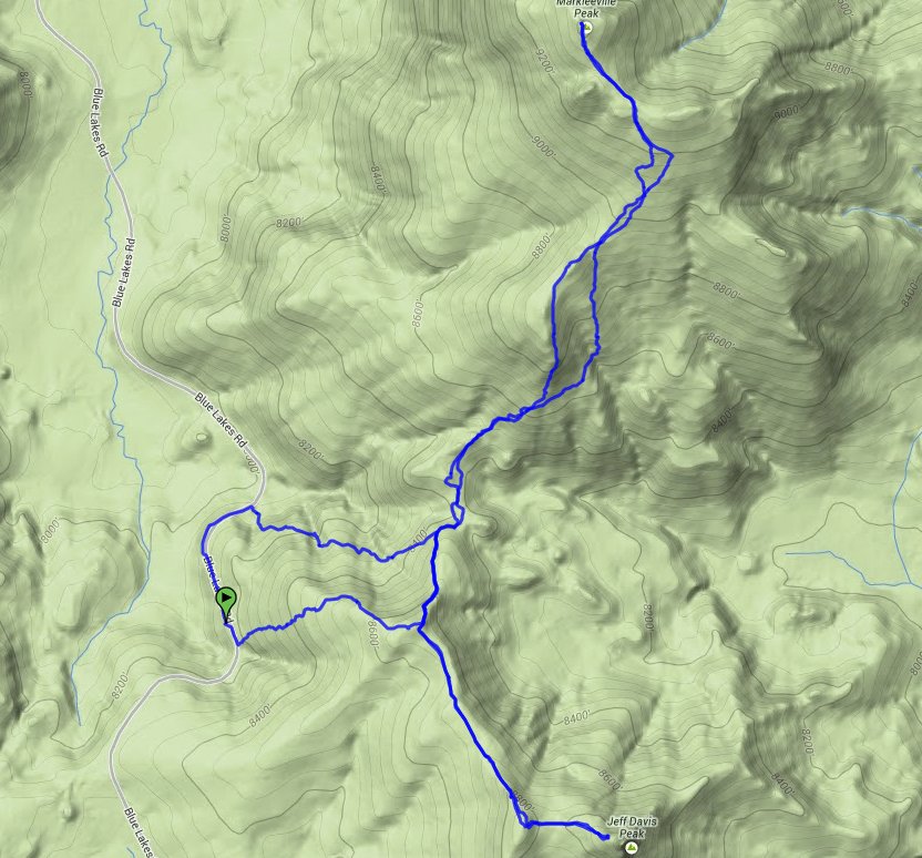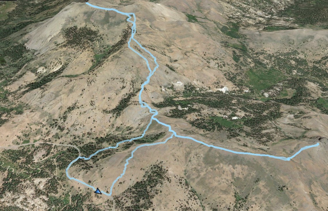
Distance: 6.5 Miles
Vertical Gain: 1200'
Group Size: 2
Hike Rating: Easy Moderate Hard Strenuous

 GPX for
this trip

| Start Coordinates: | N 38 38.602 W 119 54.717 | End Coordinates: | Same as Start Coordinates | ||
| Car Shuttle Req'd: | No | Parking Directions: | Take Highway 88 to Blue Lakes Road. Drive about 7 miles on this paved part of Blue Lakes road and park at the coordinates where the road has a turnout area. | ||
| Hazards of Note: | Significant elevation gain on
the road up from the parking area. Areas of the way up to Markleeville Peak are loose scree, and good route-finding is necessary to avoid hitting scree on sloped areas. There are some areas of manzanita brush which we were able to avoid successfully by hiking around them to the east on the way to Markleeville peak. |
Crowd Factor: | Negligible. Both of these peaks are not nearly as as well known hiking destinations as many of the others around the area, and as the routes there are mostly cross-country the chances of running into any others is remote at best. | ||
| General Notes: From the parking area on the road, we crossed over the two-lane highway and walked just a little bit south to head up a gully to the east. Once you attain the ridge, heading generally NNE, you will find a small trail that leads part of the way toward Markleeville Peak before turning to the SE direction. There was a pile of rocks (cairn) there which indicated where to leave the trail, and then it is completely cross-country heading up to the peak. We stayed near the top of the ridgeline south of the peak, and made our way to the summit that way. After Markleeville Peak, we headed back down and picked up the same trail we had found before, this time heading toward Jeff Davis peak. About 1/2 mile from the peak there is another rock cairn on the trail indicating where to branch to the left, on a path that is even less distinct than the one you have been on up to this point. This path will take you all the way to the base of the Jeff Davis peak basalt core, which towers over you with overhangs on almost all sides of the formation. |
|||||

