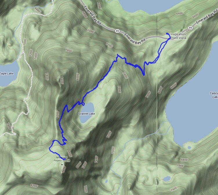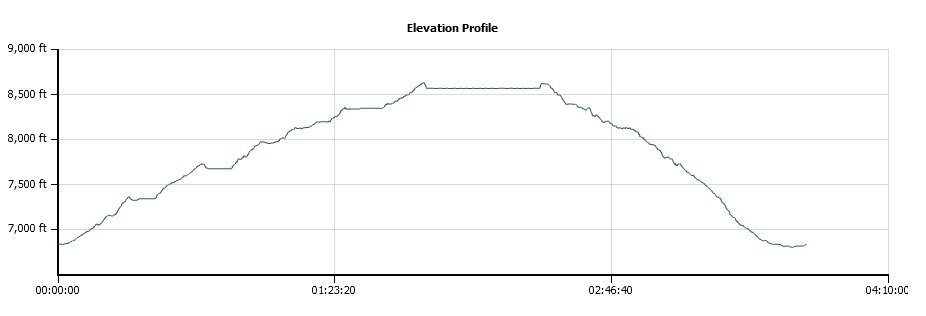
Distance: 5.0 Miles
Vertical Gain: 1700'
Group Size: 14
Hike Rating: Easy Moderate Hard Strenuous

 GPX for
this trip

| Start Coordinates: | N 38 56.768 W 120 05.883 | End Coordinates: | Same as Start Coordinates | ||
| Car Shuttle Req'd: | No | Parking Directions: | Take Highway 89 to Emerald Bay on the west side of Lake Tahoe to the Bayview Campground parking area. | ||
| Hazards of Note: | Most
of this hike is a very steady uphill climb, with a nice break point at
Granite Lake about halfway to the top of the peak. |
Crowd Factor: | Busy, especially on weekends. | ||
| General Notes: Heading up from Bayview Campground trailhead, be sure to take the correct trail on Bayview and not toward Cascade Lake. There are many switchbacks along the way, and at one point less than a mile up there is a magnificent overlook of Emerald Bay from just a little off the trail. Granite Lake is a nice resting point and you can look above it to the west and see your destination towering high above you. The last section to the top of South Maggie's Peak is easy cross country and there is a use trail that will lead you to the top. Since this is a hike into Desolation Wilderness, you will need a day permit (free at the trailhead) and the group size limit is 12. |
|||||
