Distance: 6.5 Miles
Vertical Gain: 600'
Group Size: 2
Hike Rating: Easy Moderate Hard Strenuous
 GPX
for
this trip
GPX
for
this trip 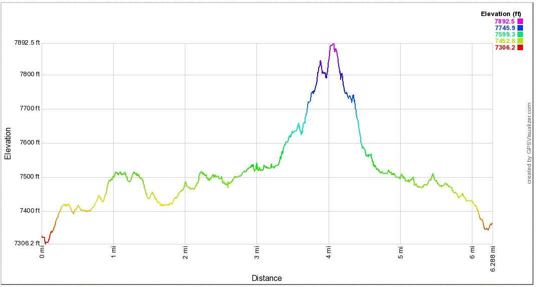
| Start Coordinates: | N 38 39.573 W 120 06.600 |
End Coordinates: | Same as Start Coordinates | ||
| Car Shuttle Req'd: | No | Parking Directions: | Take
Highway 88 to the eastern end of Silver Lake and turn south on Kit
Carson Rd. Follow this often narrow paved road for about a
mile and a half past the Minkalo Boy Scout camp to a parking area at
the Minkalo Trailhead area. There is one point where there is
a junction in the road about a mile in, and take the way to the left.
The other is a long, windy loop through the cabin areas. |
||
| Hazards of Note: | Route-finding skills and
significant navigation experience is highly recommended.
Other than the beginning of the hike this is completely
off-trail to the postpiles and back. |
Crowd Factor: | Negligible. Once off
the trail in the first half mile, you will not run into any other
hikers. |
||
| General
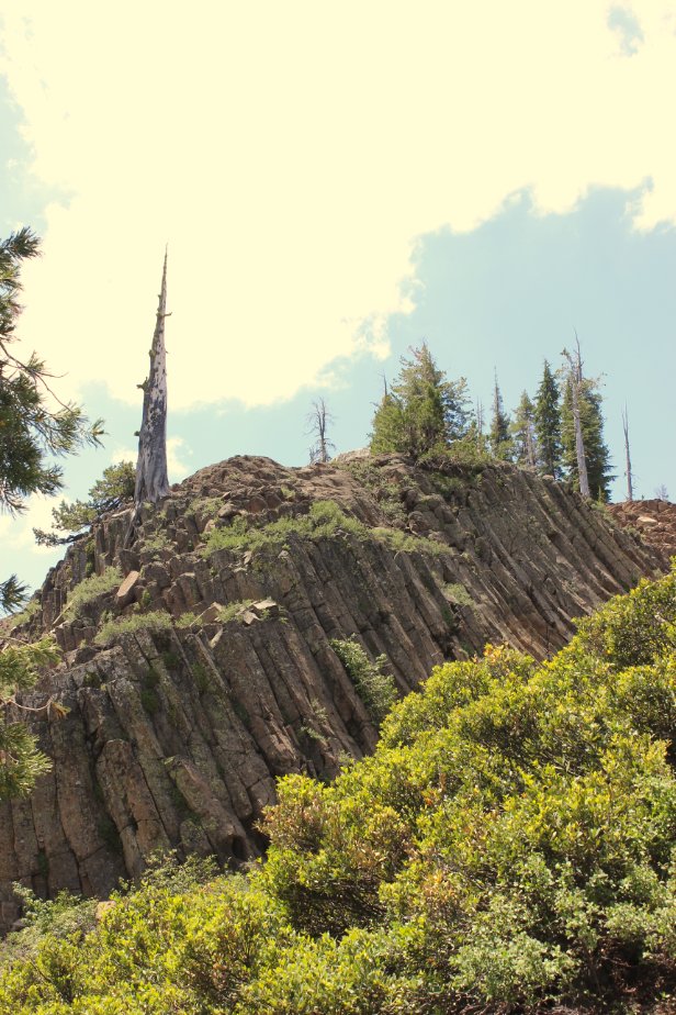
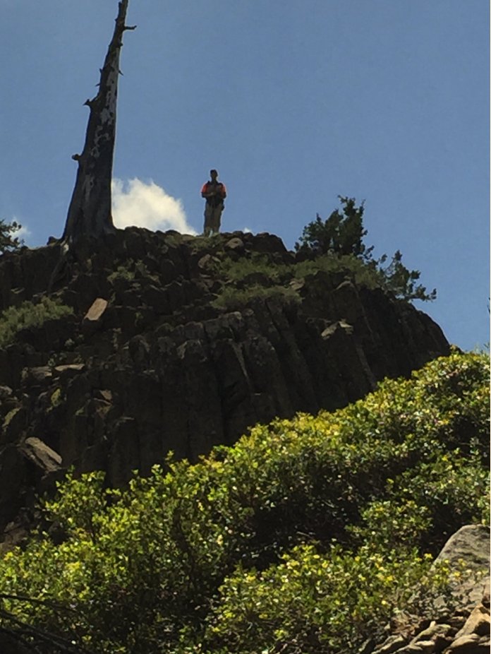
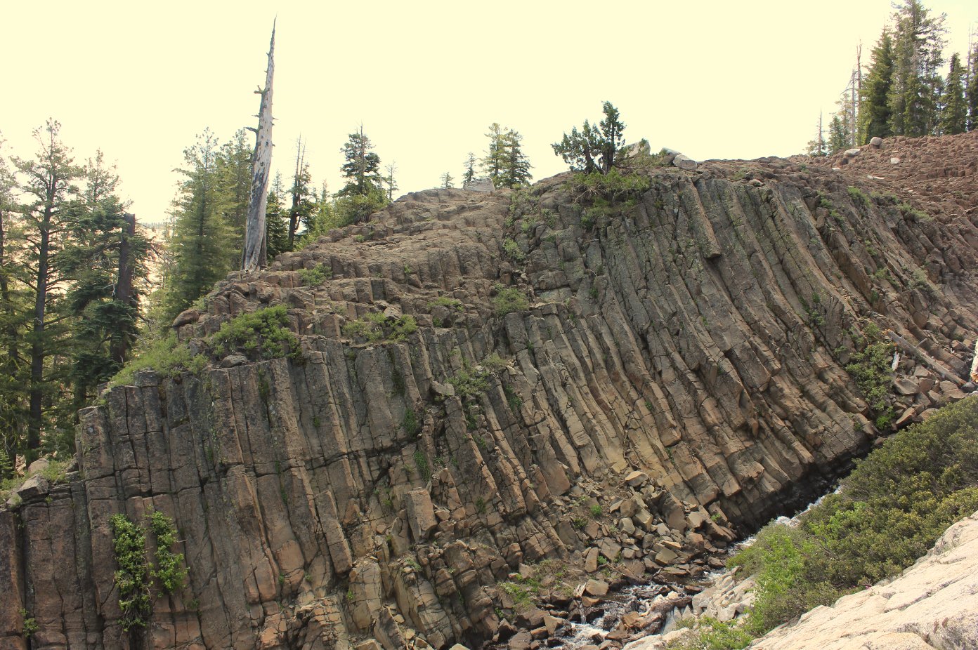
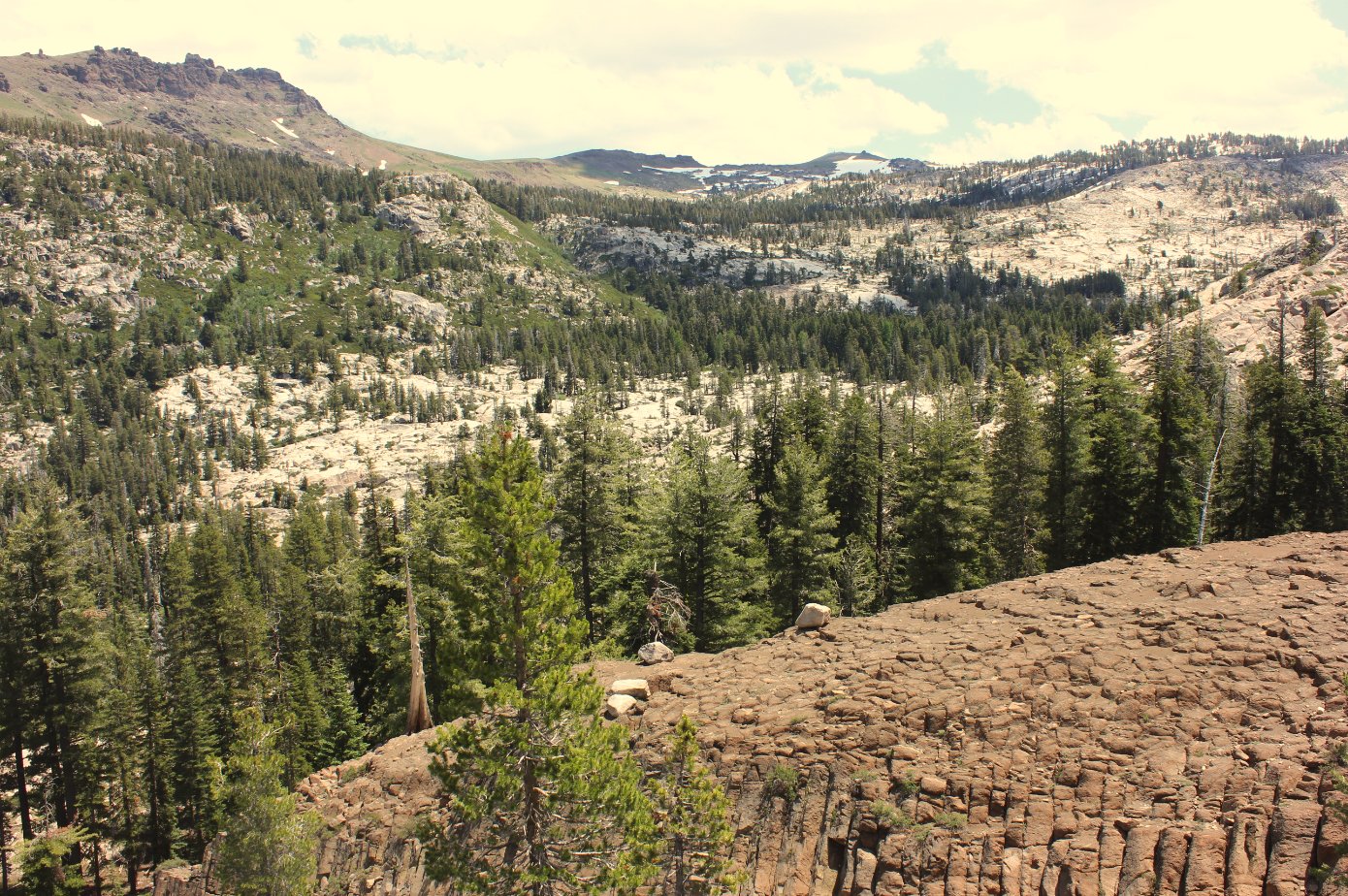
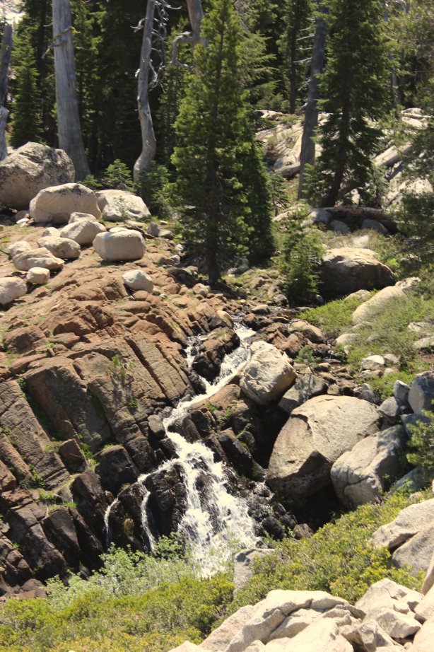
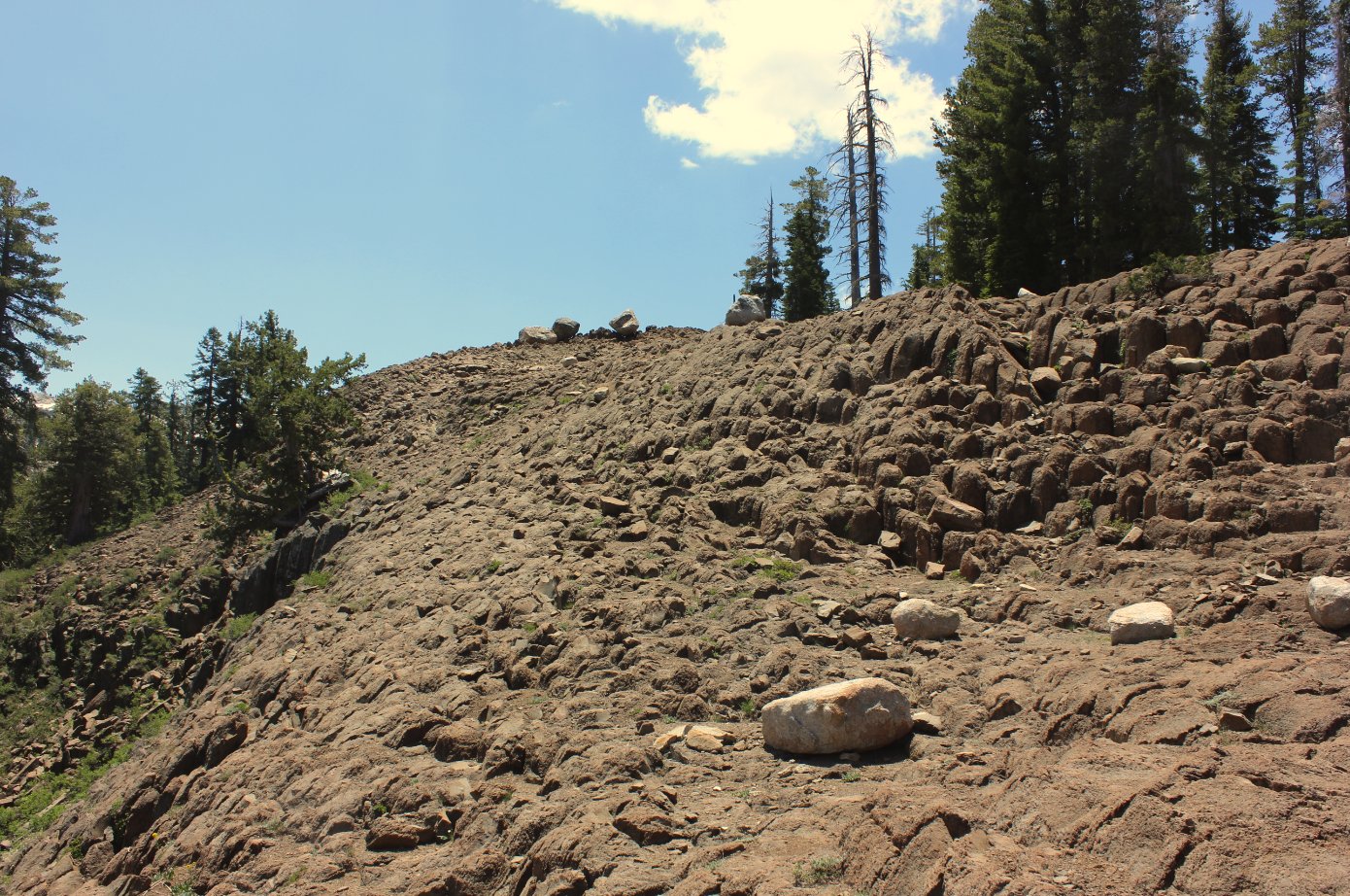
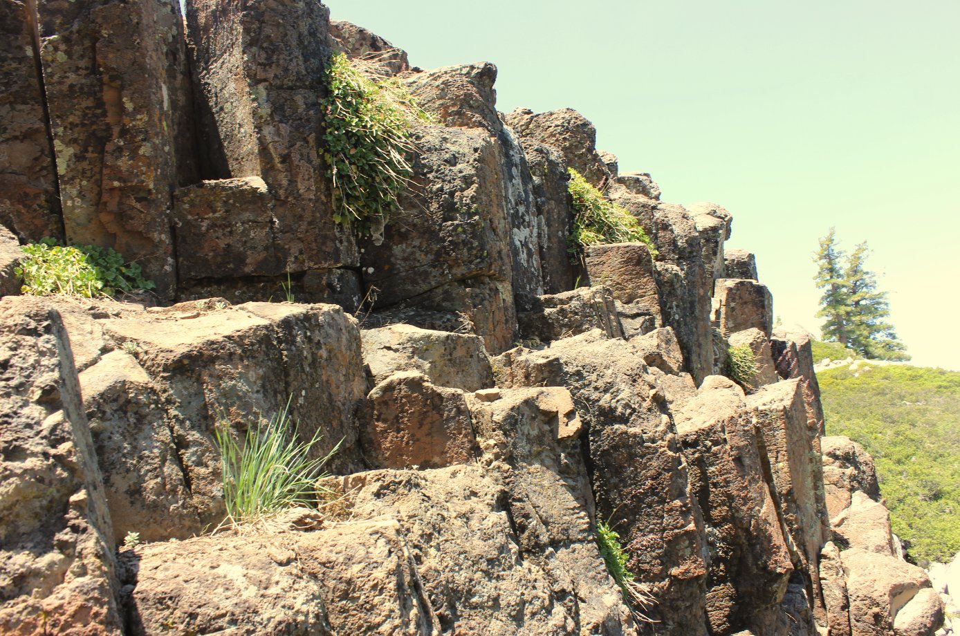
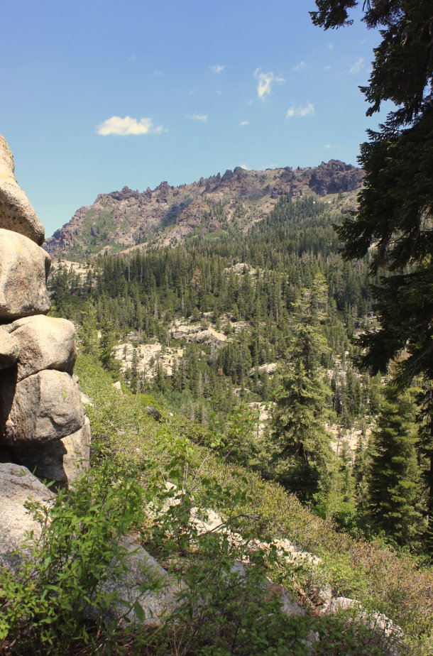
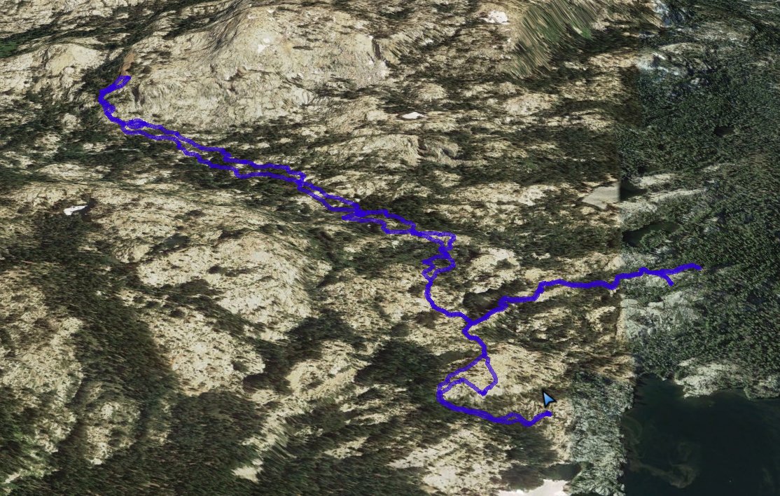
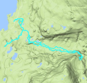
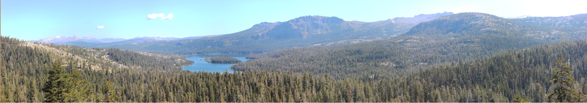
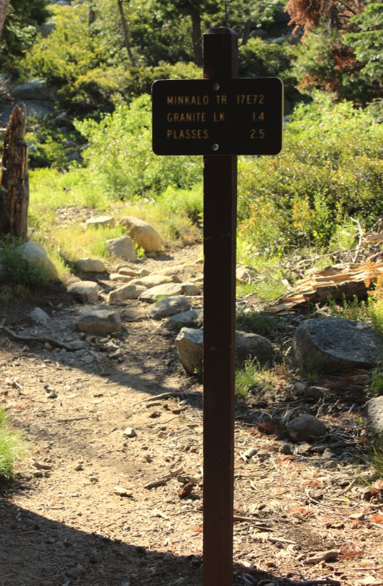
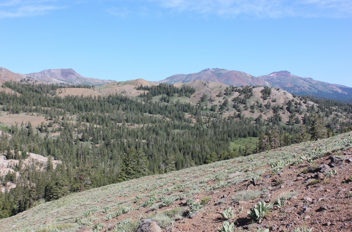
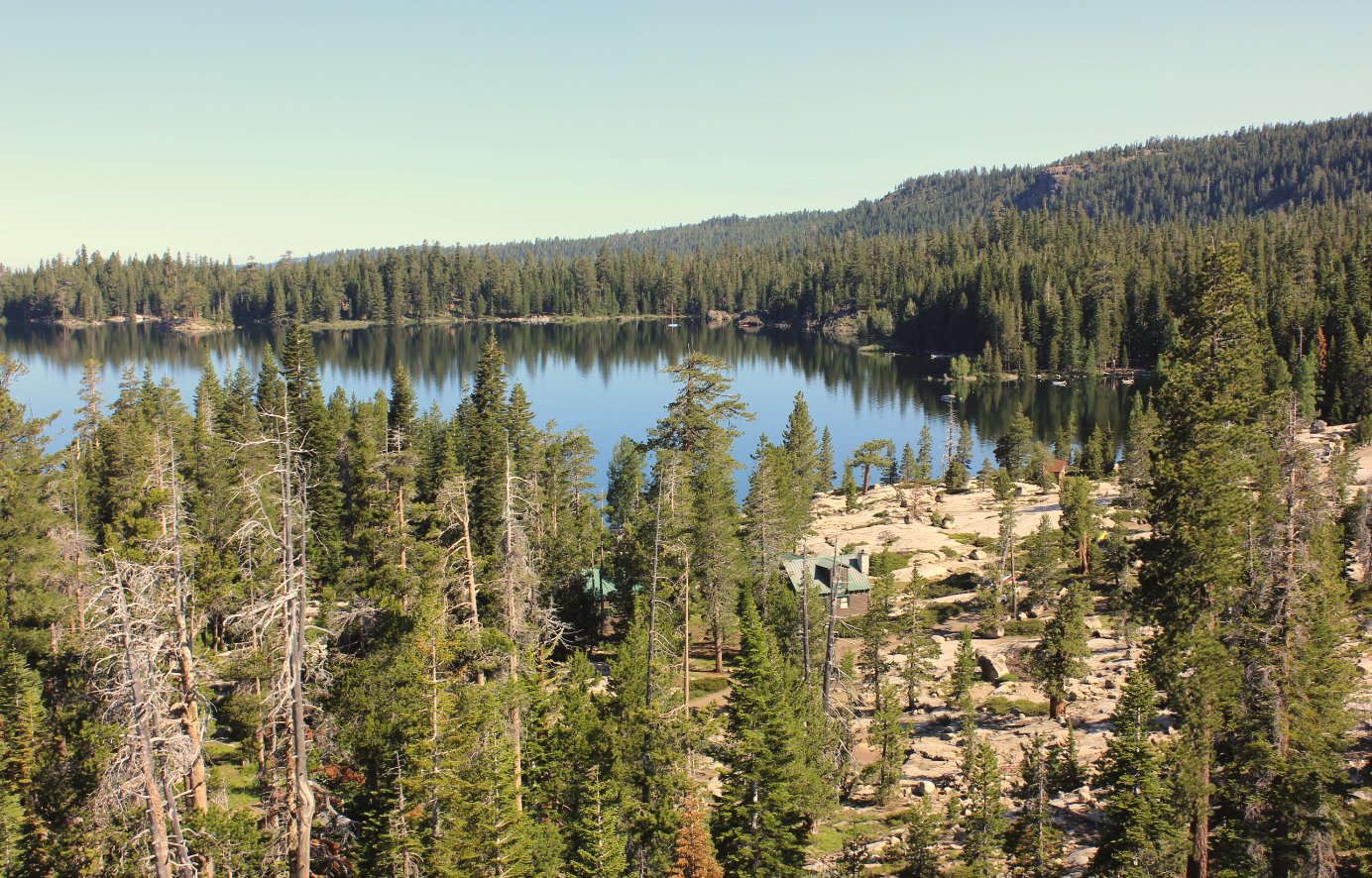
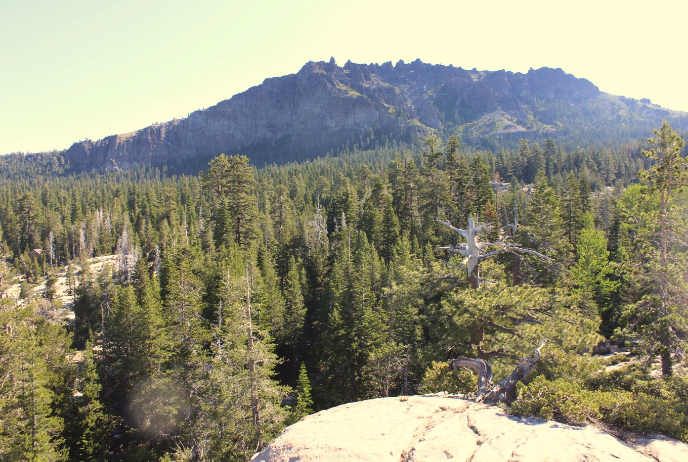
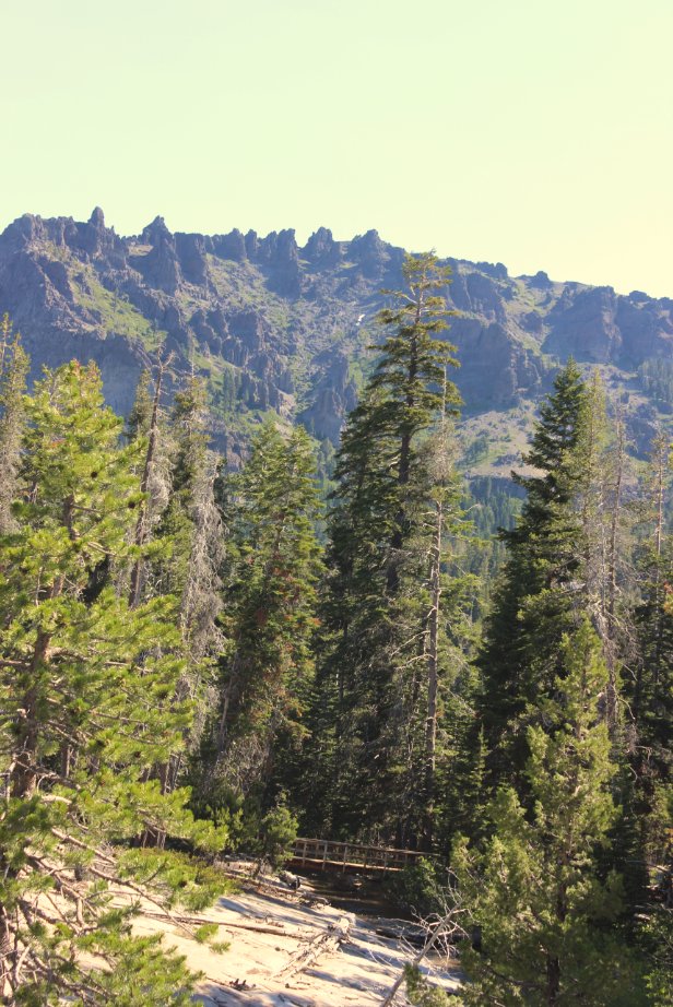
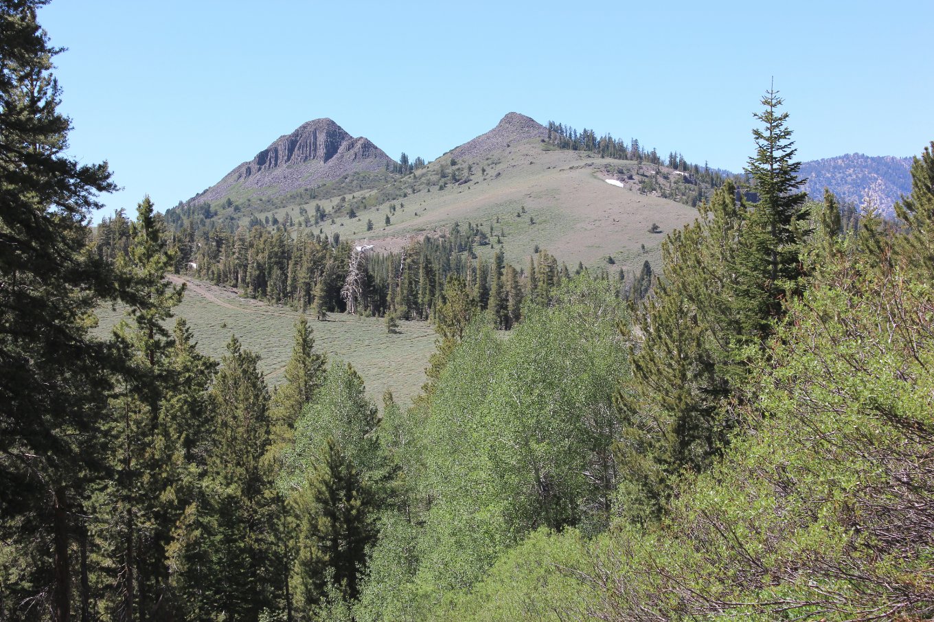
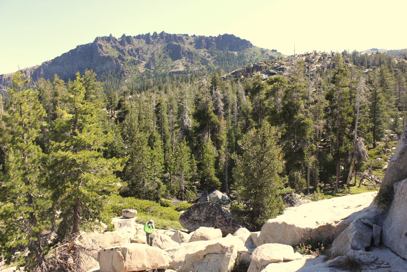
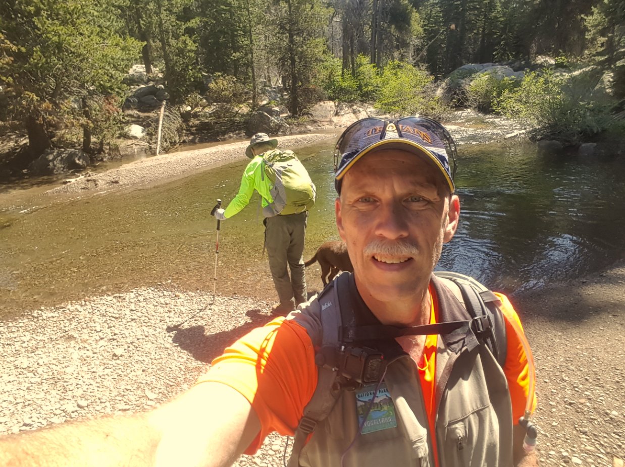
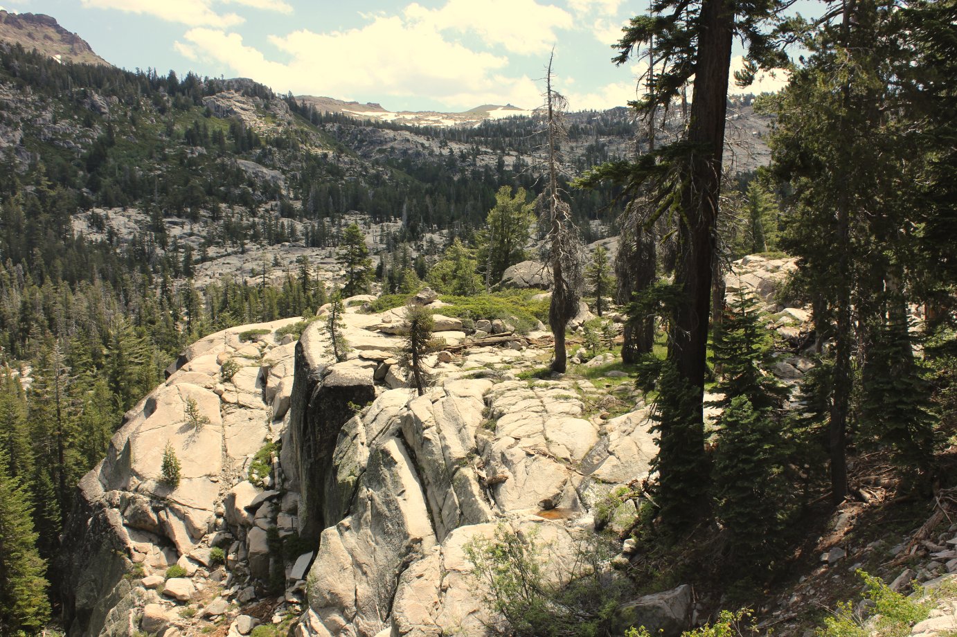
Notes: From the trailhead parking, the Minkalo trail starts at a signed trailhead just to the southeast of the parking location. Head along this trail for about 4/10ths of a mile, passing a small water body on your left. There is a sign at the point where you want to leave the trail which says "Trail," and points you to the west to continue along the Minkalo trail toward Granite Lake. Follow an obvious use trail off the main path to the left, and then you will be on your own for the rest of the trek to the postpiles. It is best to stay as close to the creek when you reach it, preferably finding a way to safely ford the water to get to the west side. If you follow the GPS route which is available to download from this page, the route back we used (furthest to the left or to the east) is MUCH better than the way we headed out. There is even a nice campsite about 3/4 mile from the postpiles along the creek which would be perfect for an overnight visit. The postpiles can be found just around the back of the mountain which you will be heading toward for the few miles it takes to reach the area. About the Machado Postpiles: The postpiles were discovered by Jesse Machado, a worker at Camp Silver Lake in the early 1920s, but he mostly kept their existence a secret to limit the possibility of their location becoming a touristy destination such as at Devil's Postpiles in the Central Sierras. The postpiles were discovered again by Roger and Katherine Blain in the early 1990s. When they met up with Jesse Machado just before his death they resolved to have the postpiles officially named after him. The postpiles were formed 13 million years ago, far older than the Devil's Postpiles formation which are only about 100K years old. They formed deep within the earth as molten rock (diabase) squeezed through volcanic fissures, forming pillars with four, five, or six sides. These were eventually exposed by the upheaval of the Sierras as they were formed and then erosion. (Source: Sierra Club fromMichael Fitzgerald) |
|||||
