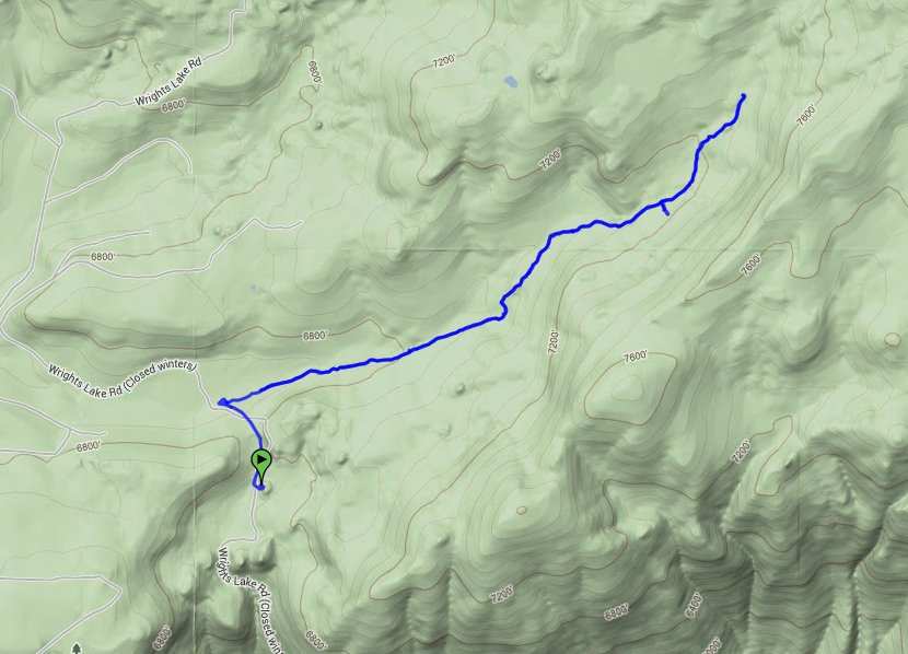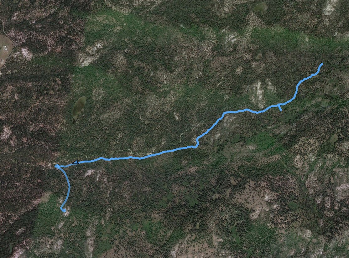
Distance: 6.4 Miles
Vertical Gain: 700'
Group Size: 3
Hike Rating: Easy Moderate Hard Strenuous

 GPX for
this trip

| Start Coordinates: | N 38 48.619, W 120 14.369 | End Coordinates: | Same as Start Coordinates | ||
| Car Shuttle Req'd: | No | Parking Directions: | Take Highway 50 to Wrights Road. Follow the road to the north for a couple of miles until you reach the Lyons Creek Trailhead parking area at the provided coordinates. | ||
| Hazards of Note: | None. | Crowd Factor: | Moderate. This is one of the popular entrances to Desolation Wilderness. | ||
| General Notes: From the parking area, head east up the Lyon's Creek Trail. This will continue through forest and meadow areas for about 4 miles, until you reach the boundary of Desolation Wilderness. The entire hike before this point is very easy and has an abundance of wildflowers in the early spring and summer. |
|||||
