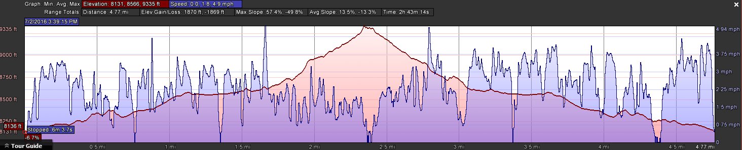
Distance: 5.0 Miles
Vertical Gain: 1300'
Group Size: 1
Hike Rating: Easy Moderate Hard Strenuous
 GPX for
this trip
GPX for
this trip
| Start Coordinates: | N 38 01.353, W 119 15.715 | End Coordinates: | Same as Start Coordinates |
||
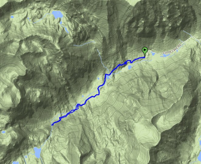
| Car Shuttle Req'd: | No | Parking Directions: | From Highway 395 turn west on Lundy Lake Road (Highway 167) approximately 7 1/2 miles north of the town of Lee Vining and Highway 120 (Tioga Pass Road.) Follow this road approximately 6 1/2 miles past Lundy Lake to the trailhead at a one-way circular parking area. Much of the last portion of this road is unpaved but is navigatable with a regular clearance vehicle. | ||
| Hazards of Note: | Four log water crossings and significant elevation gain after the first 2 1/2 miles. NOTE: If continuing on into the 20 Lakes Basin from Lundy Canyon, the rating on this hike changes to HARD. | Crowd Factor: | Moderate. This is a relatively popular trail, with many raging waterfalls in the early spring and summer, as well as an incredible display of fall colors during the September and October timeframe. | ||
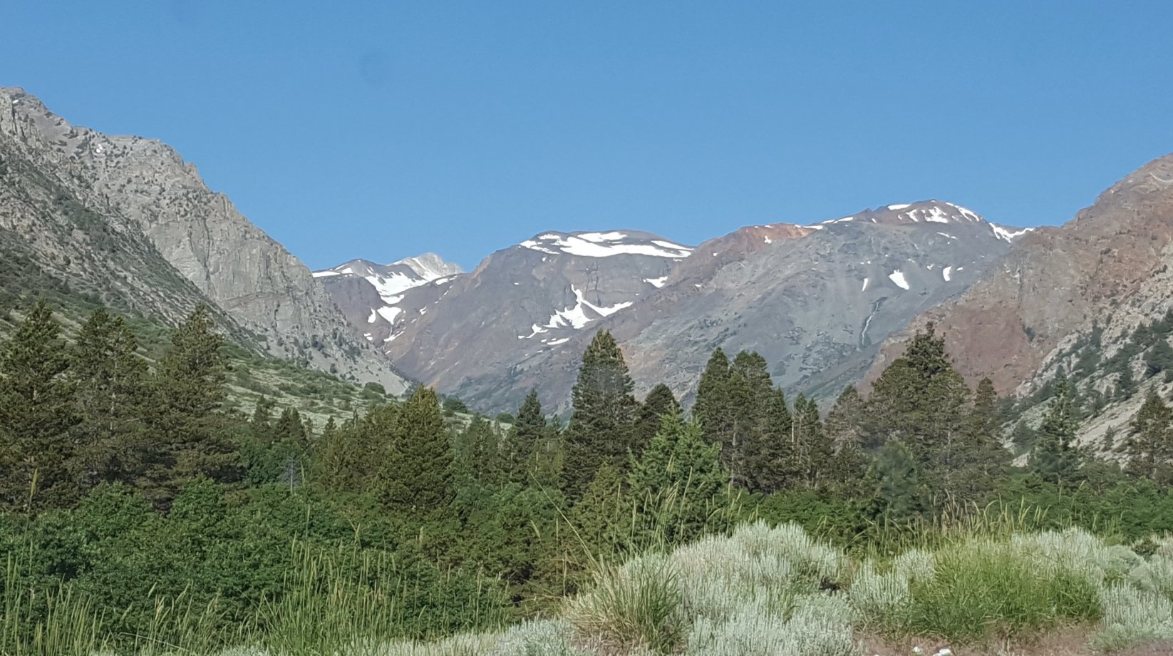
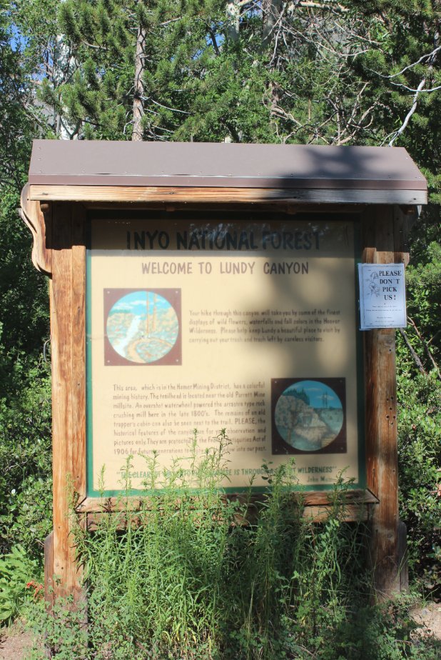
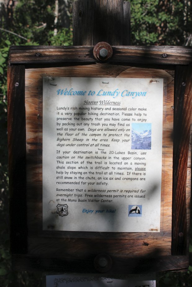
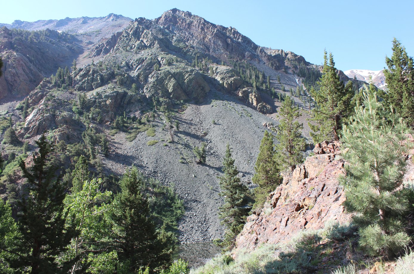
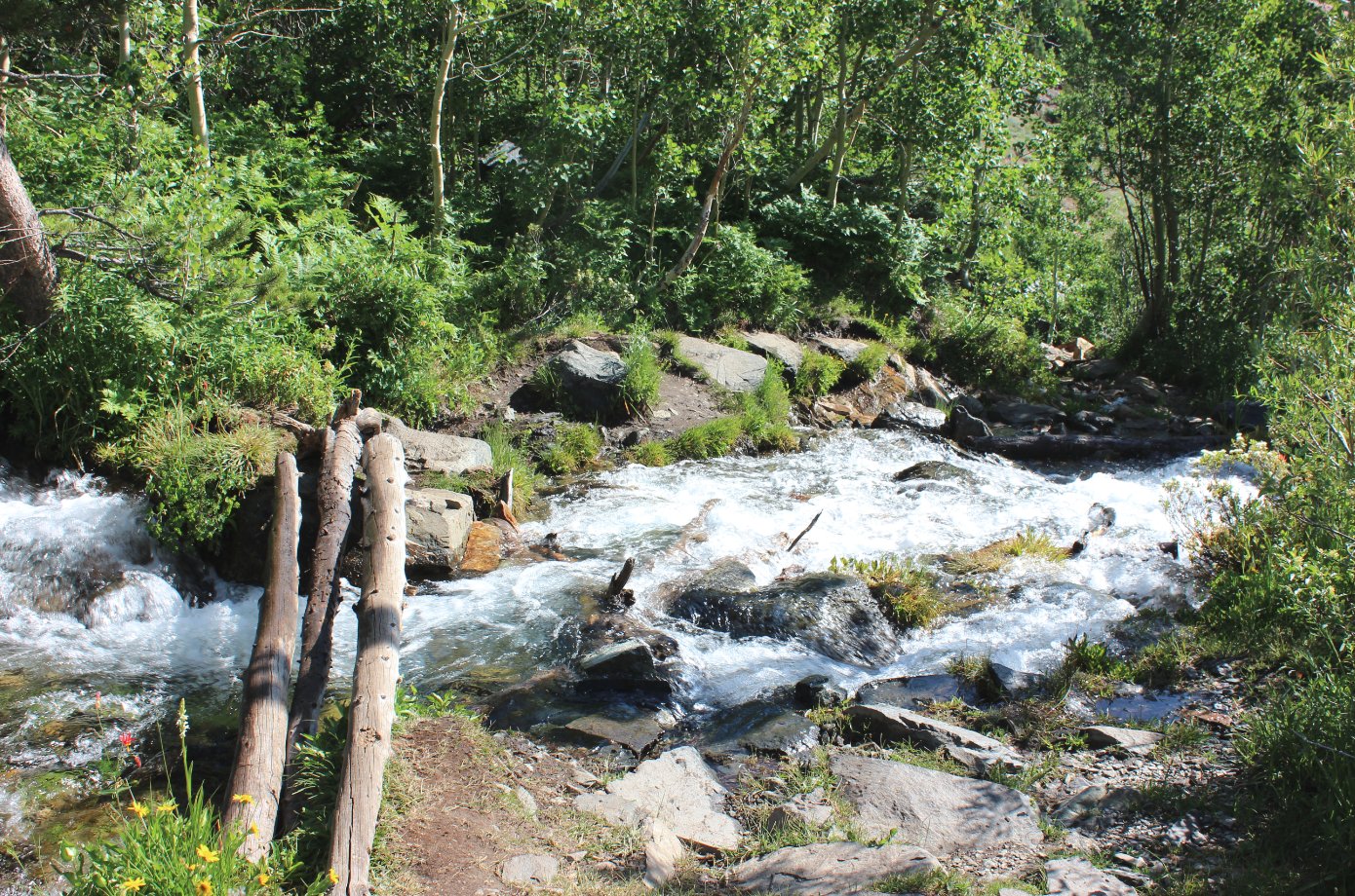
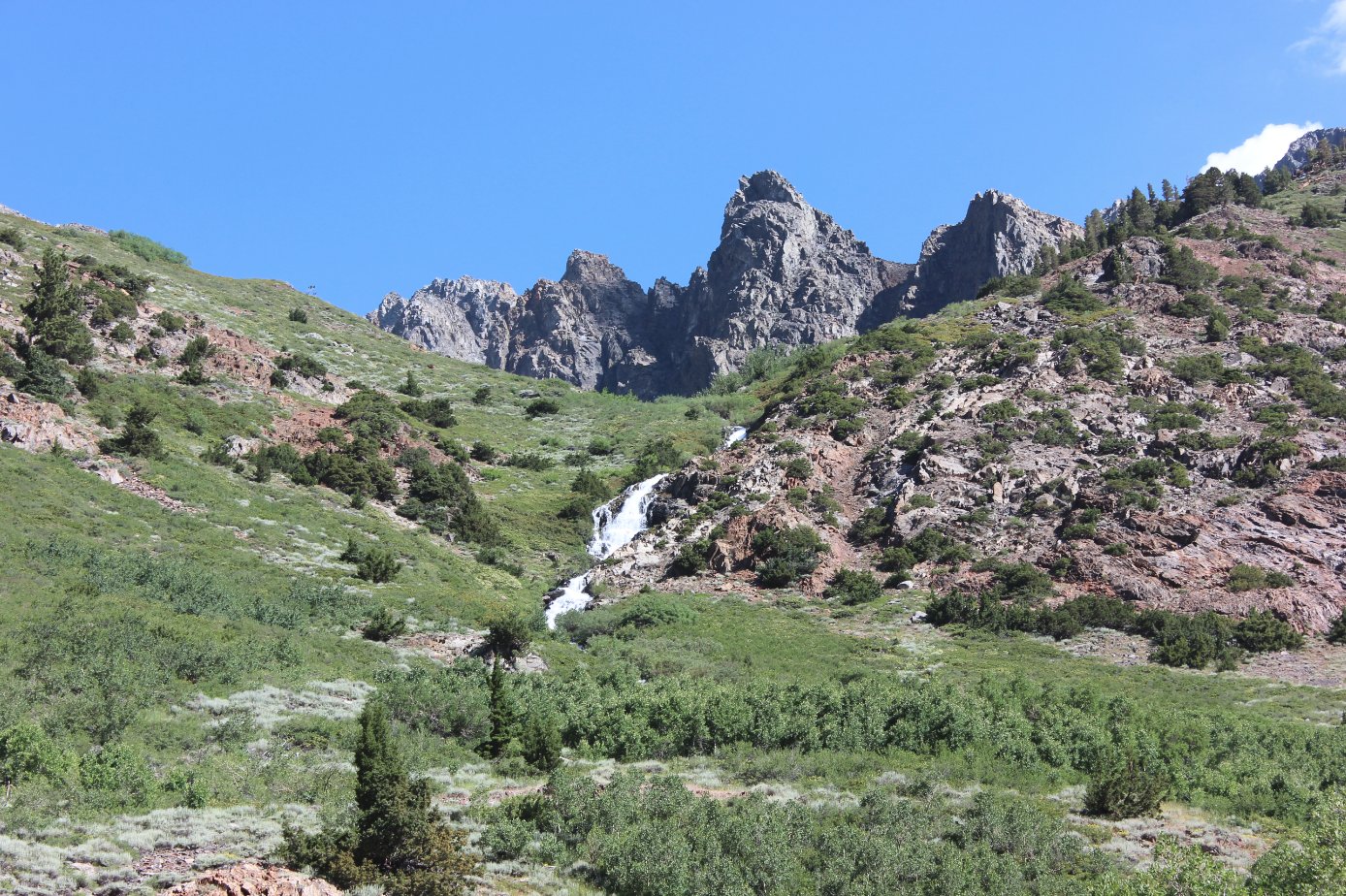
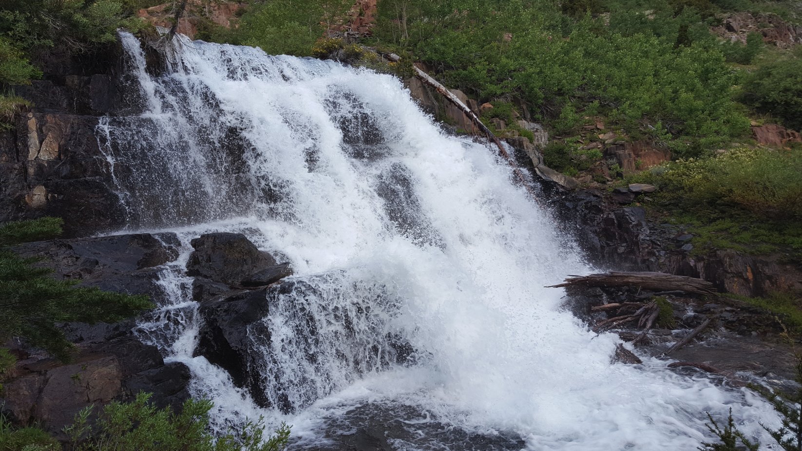
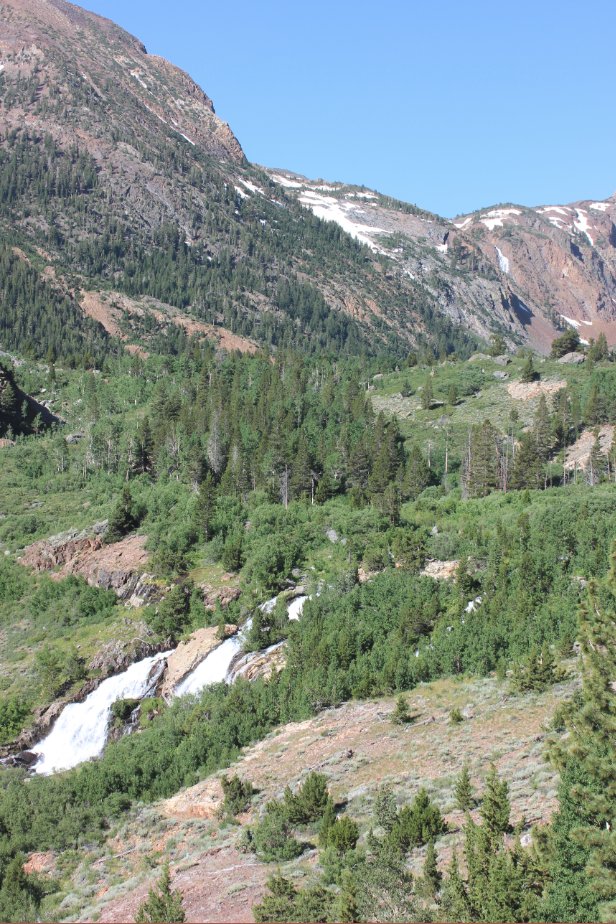
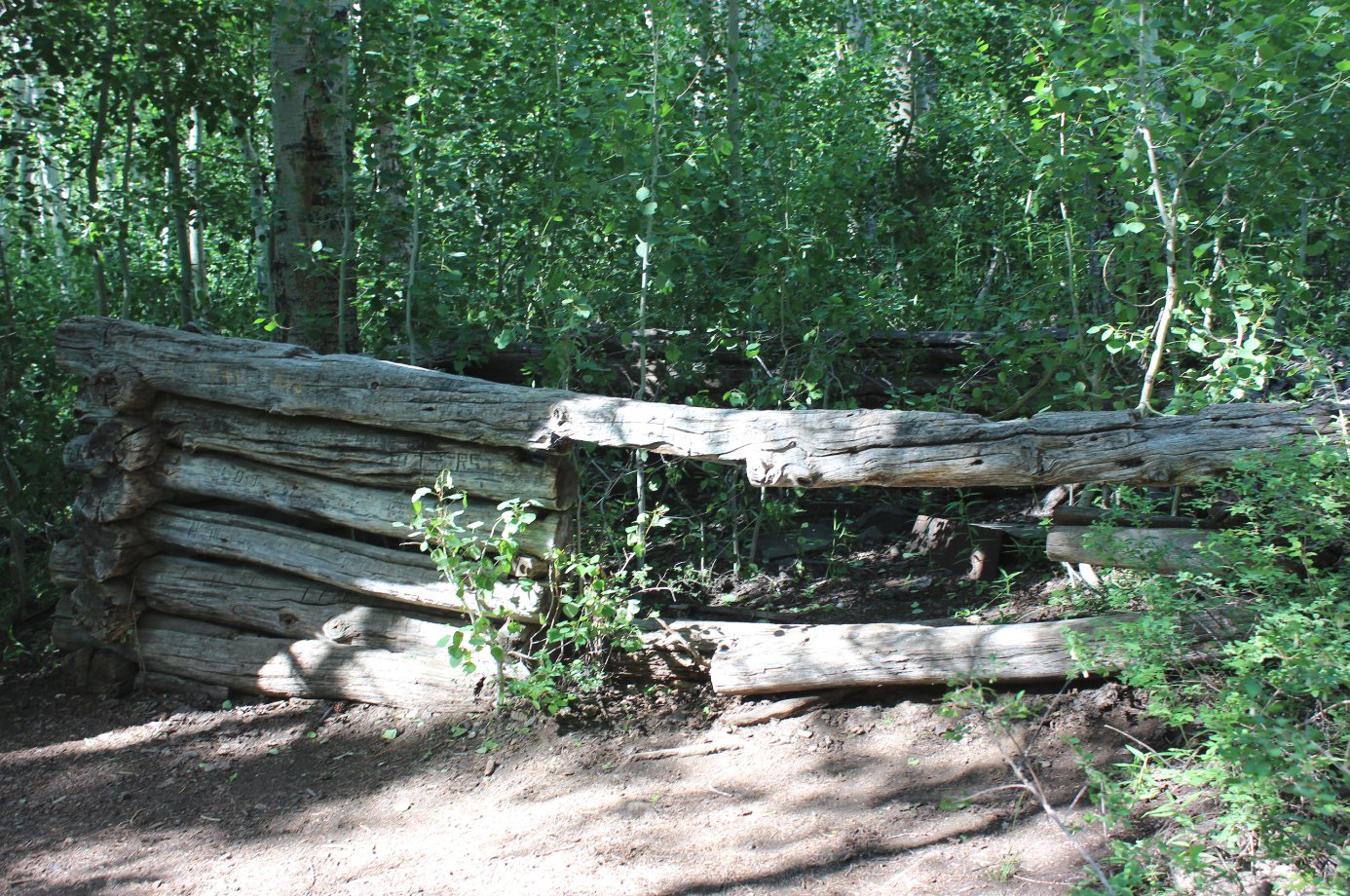
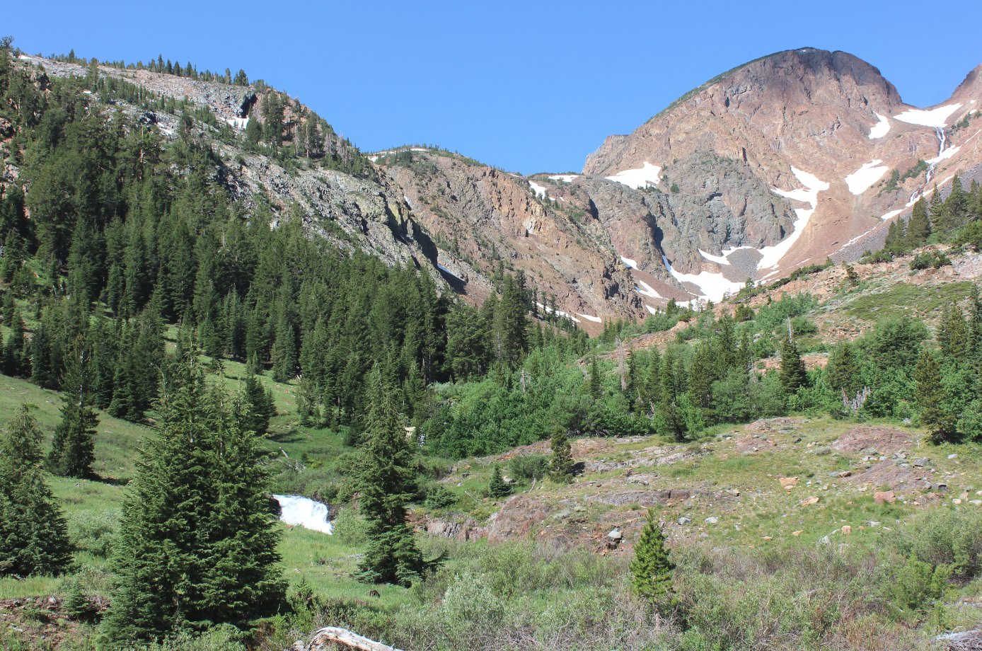
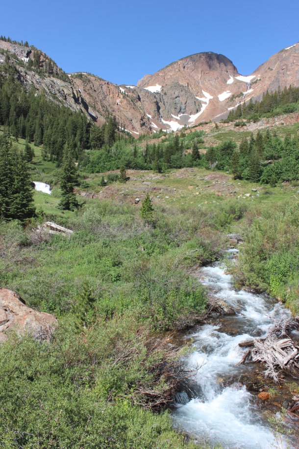
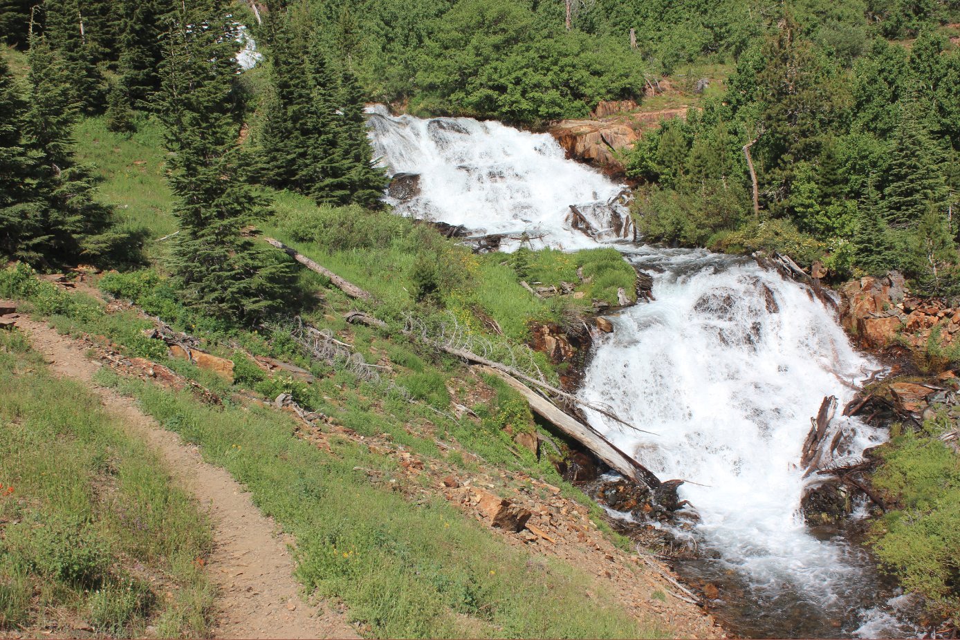
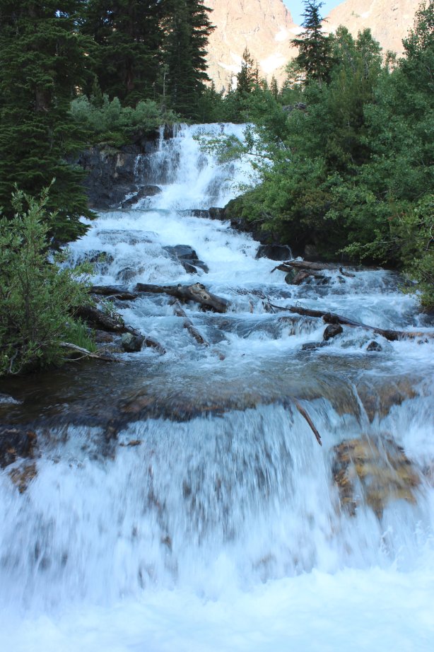
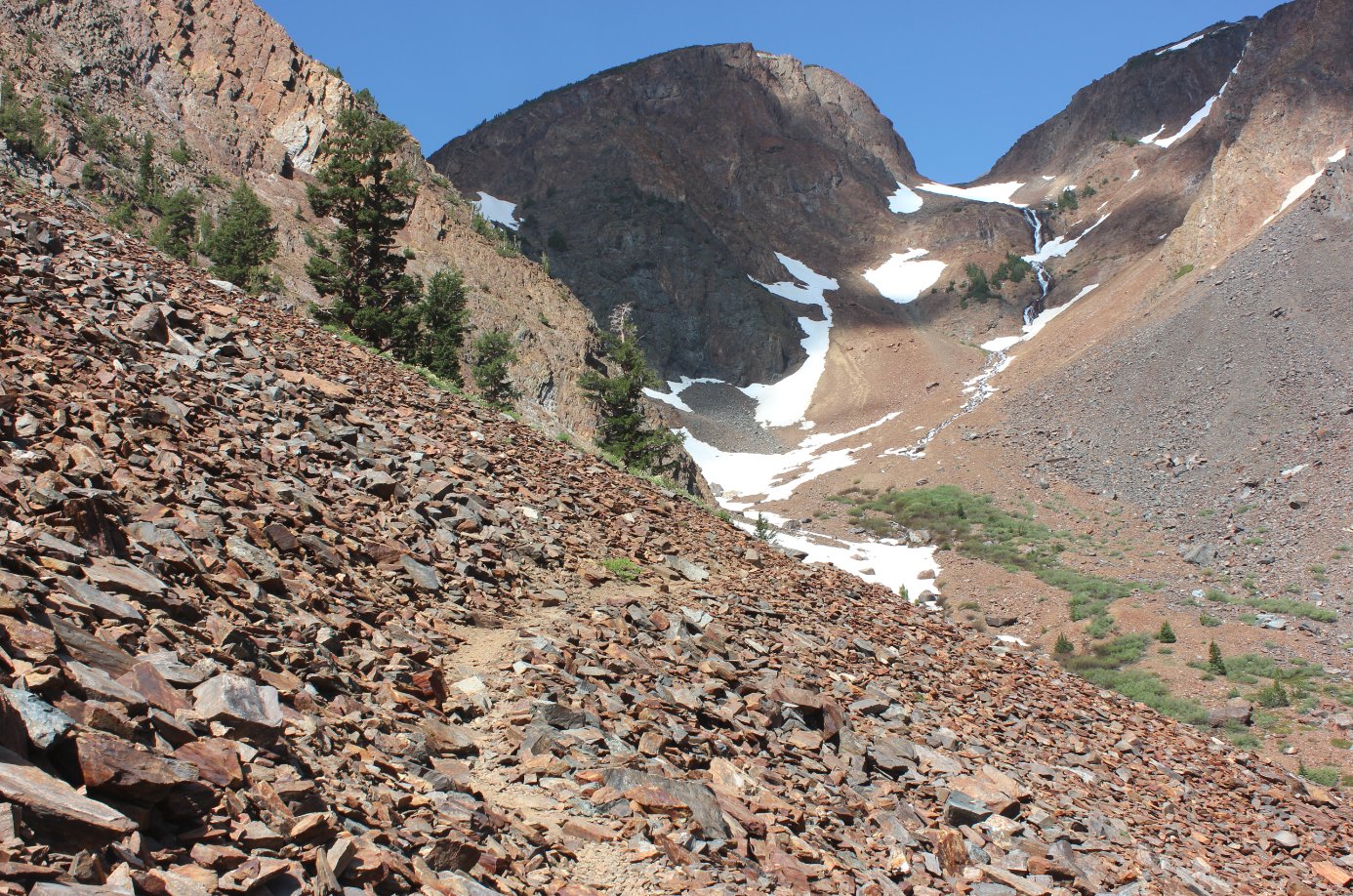
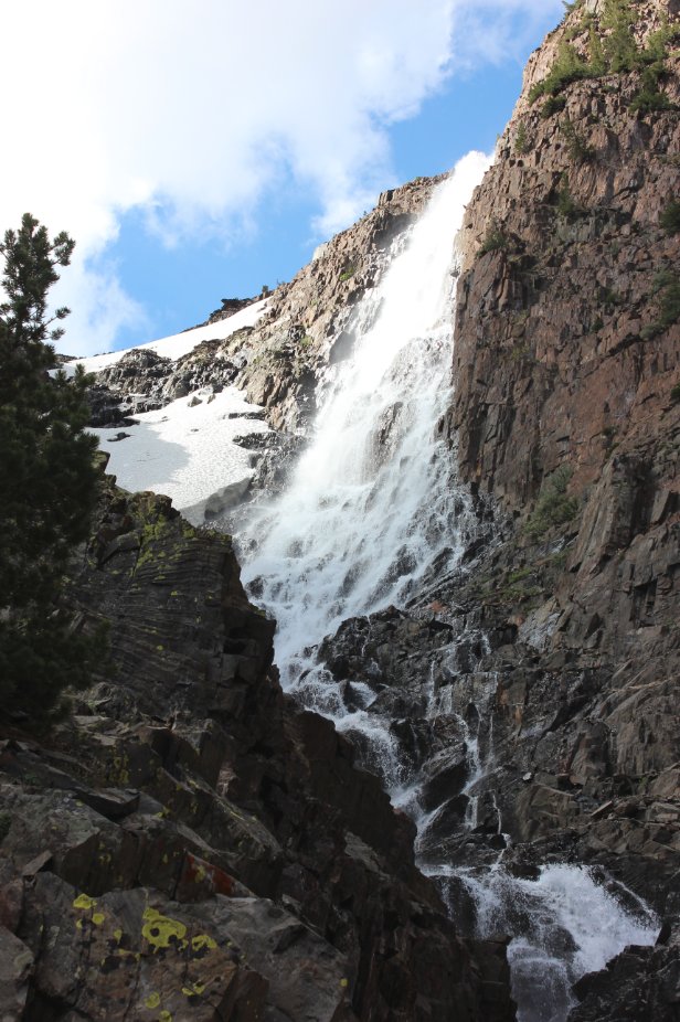
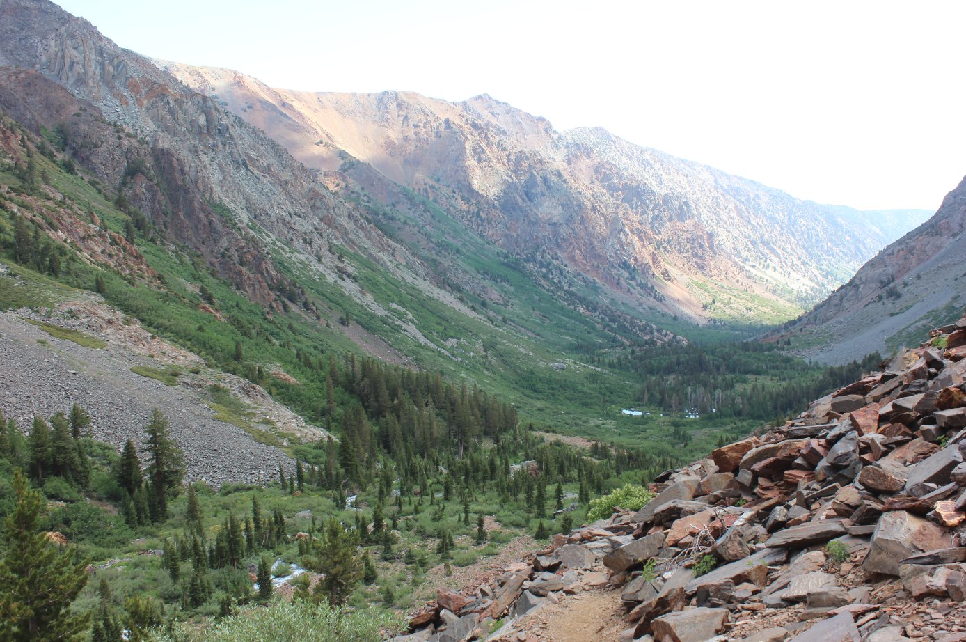
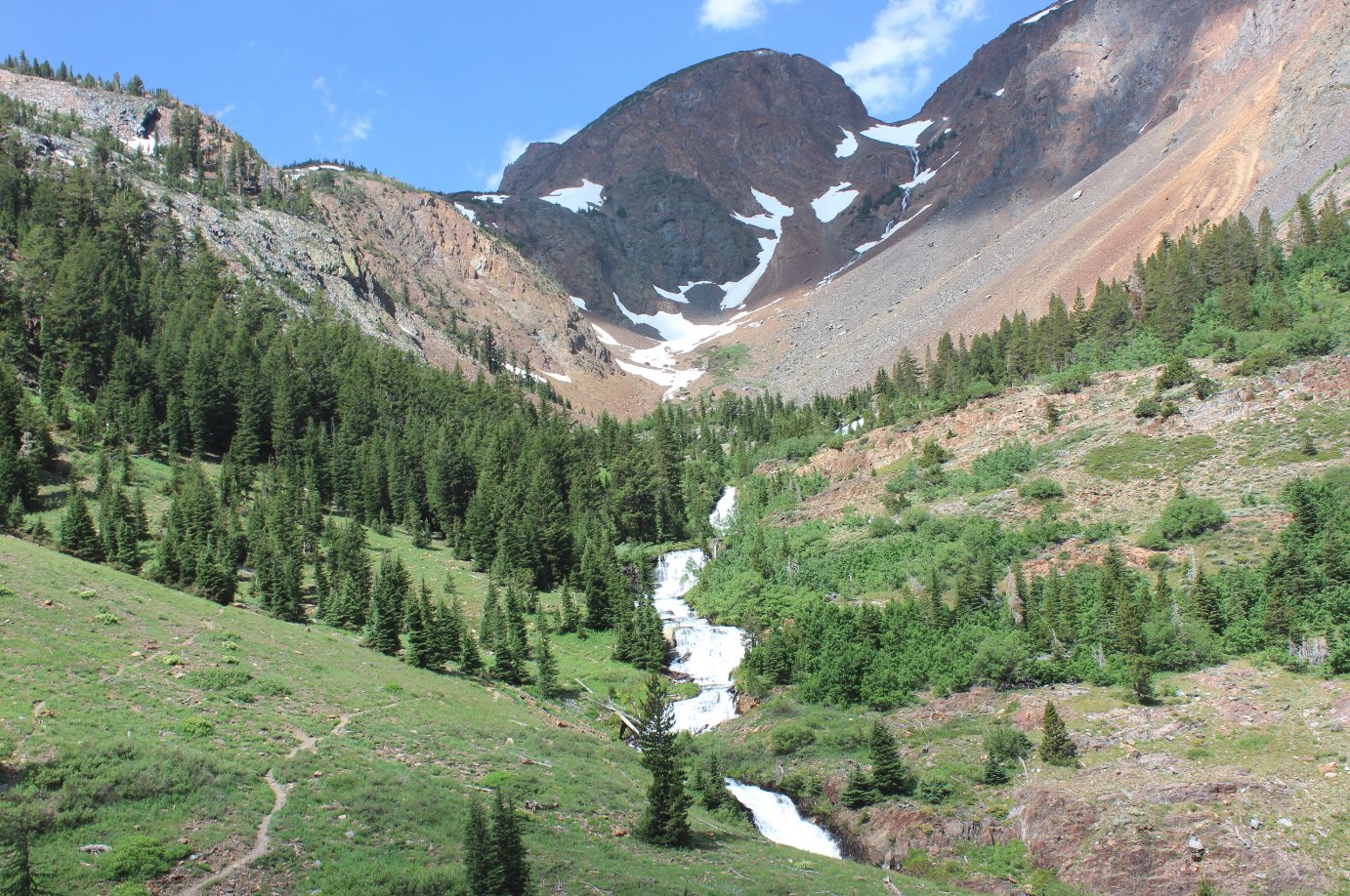
| General Notes: From the parking area at the Lundy Canyon Trailhead, find the information kiosk near the west side of the parking circle. The trail heads off along Mine Creek or most of the journey, which flows down from the 20 Lakes Basin (and Helen Lake specifically) a couple thousand feet in elevation above your current location. After a first water crossing using some helpfully-located logs across the water, you will start to slowly gain elevation over the next two miles. A number of waterfalls will be visible along your way, both on the right and left sides as they cascade down the steep canyon walls but also along Mine Creek which you will follow upriver for most of the hike into the canyon. You will also cross this water three times along the way. About 3/4 of a mile in you will cross the stream of a waterfall coming from your right, which is the outlet from Burro Lake 1800 feet above you. This is a destination for the strenuous and risk-taking hiker, which can be attained by heading up the right side of this water until you cross over it just before it bends to the west high above, and then following it west and then north when it turns sharply again as you near the lake. Continuing on the main Lundy Canyon Trail, you will have magnificent views of the Lower and Upper Mill Creek Falls, and then at about 1 3/4 miles the trail will begin to head upward at a significant rate. Those who travel this far are urged to hike just a little less than a quarter mile further, to get a great view of the Mills Creek water from where it first drops down into the Lundy Canyon from Lake Helen still another 500 feet in elevation above you. The trail up into 20 Lakes Basin is obvious for most of the way, but it is comprised of loose shale, making it dangerous to the hiker not wanting to lose the trail as well as the hiker who might have concerns over slipping on the extremely unstable footing in this section. Heading up is certainly preferable to heading down, and if this route is to be taken all the way into 20 Lakes Basin the recommendation is to come out at Saddlebag Lake and make it a point to point hike. |
|||||