Distance: 3.0 Miles
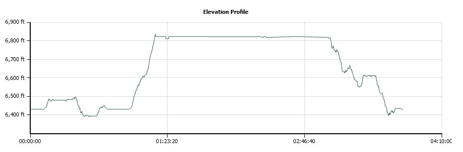
Vertical Gain: 500'
Group Size: 14
Hike Rating: Easy Moderate Hard Strenuous

 GPX for
this trip
GPX for
this trip
| Start Coordinates: | N 38 59.092 W 120 19.751 | End Coordinates: | Same as Start Coordinates | ||
| Car Shuttle Req'd: | No | Parking Directions: | Take Highway 50 to Ice House Road. Drive about 25 miles north on Ice House Road until you get to Loon Lake. You will park in the Loon Lake Chalet parking area. | ||
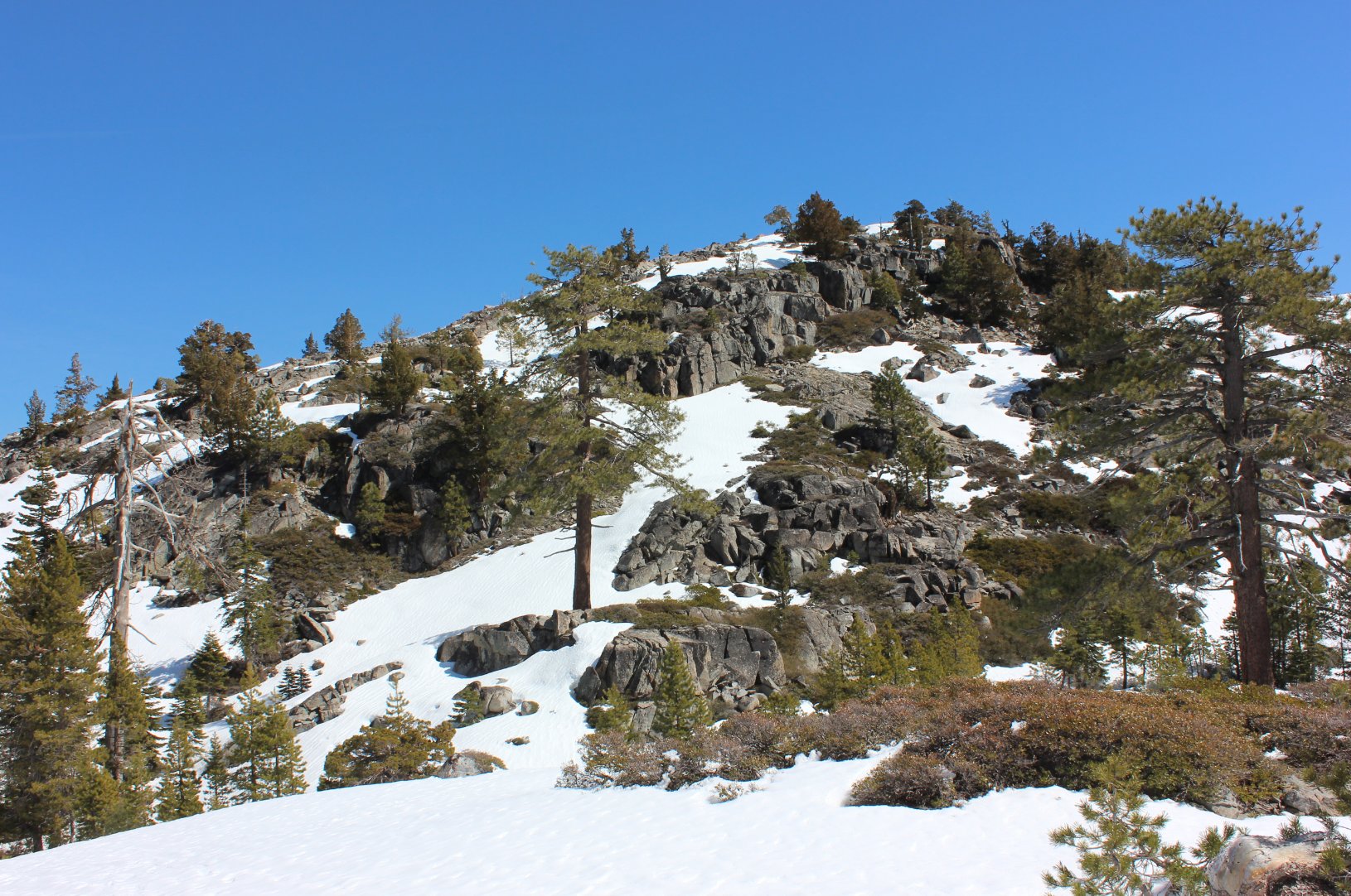
| Hazards of Note: | If there is no snow this small peak on the west side of the lake is not easily accessible due to shrubs and manzanita. | Crowd Factor: | Moderate. On weekends the chalet will be used but parking is for anyone. | ||
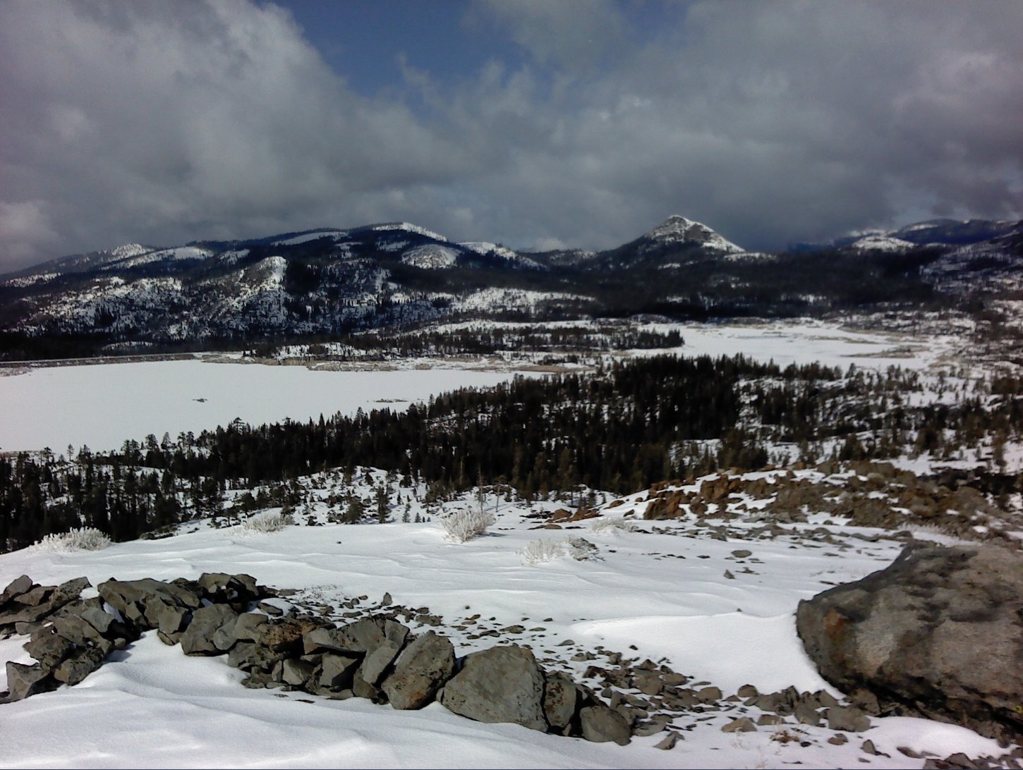
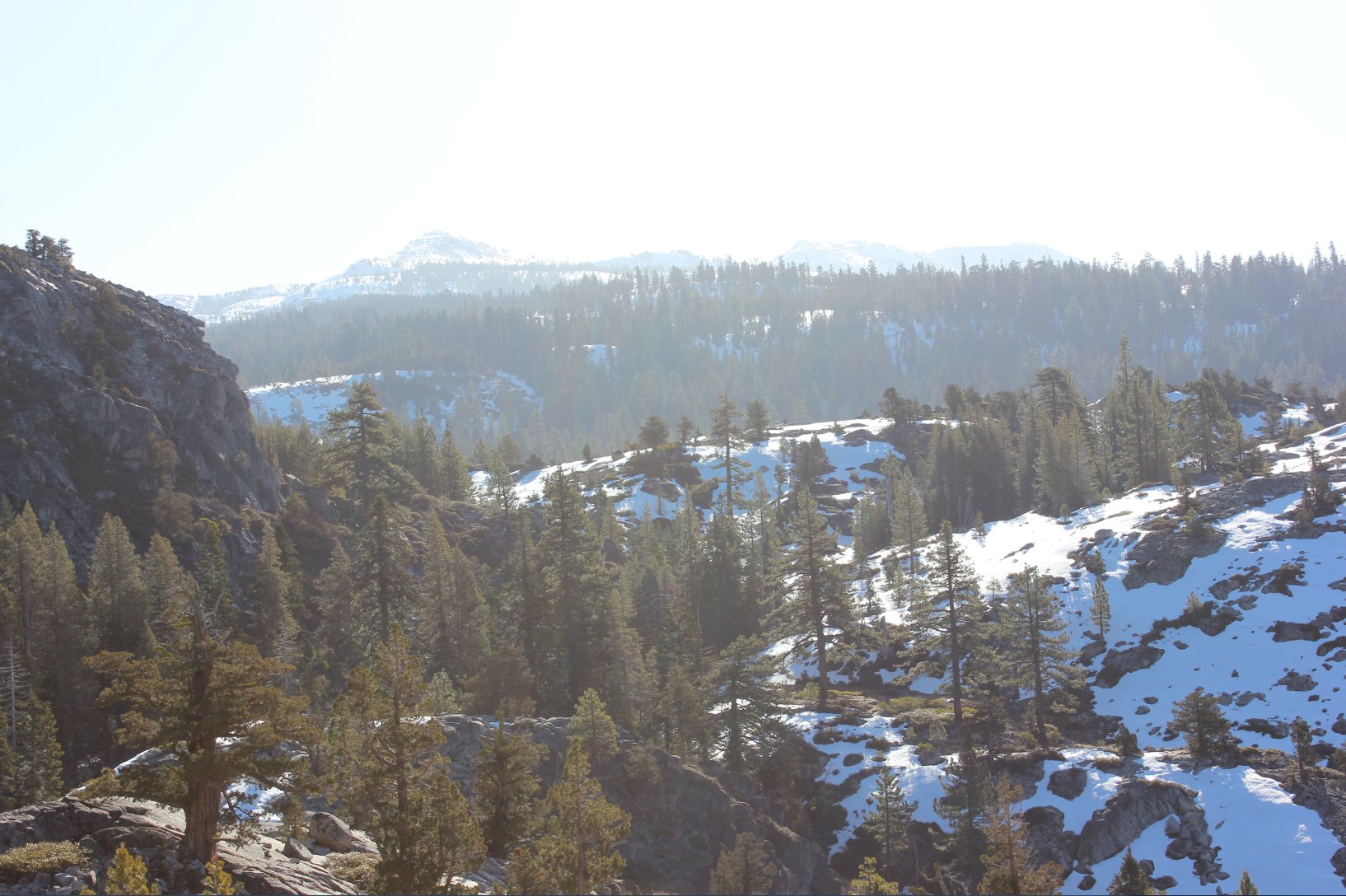
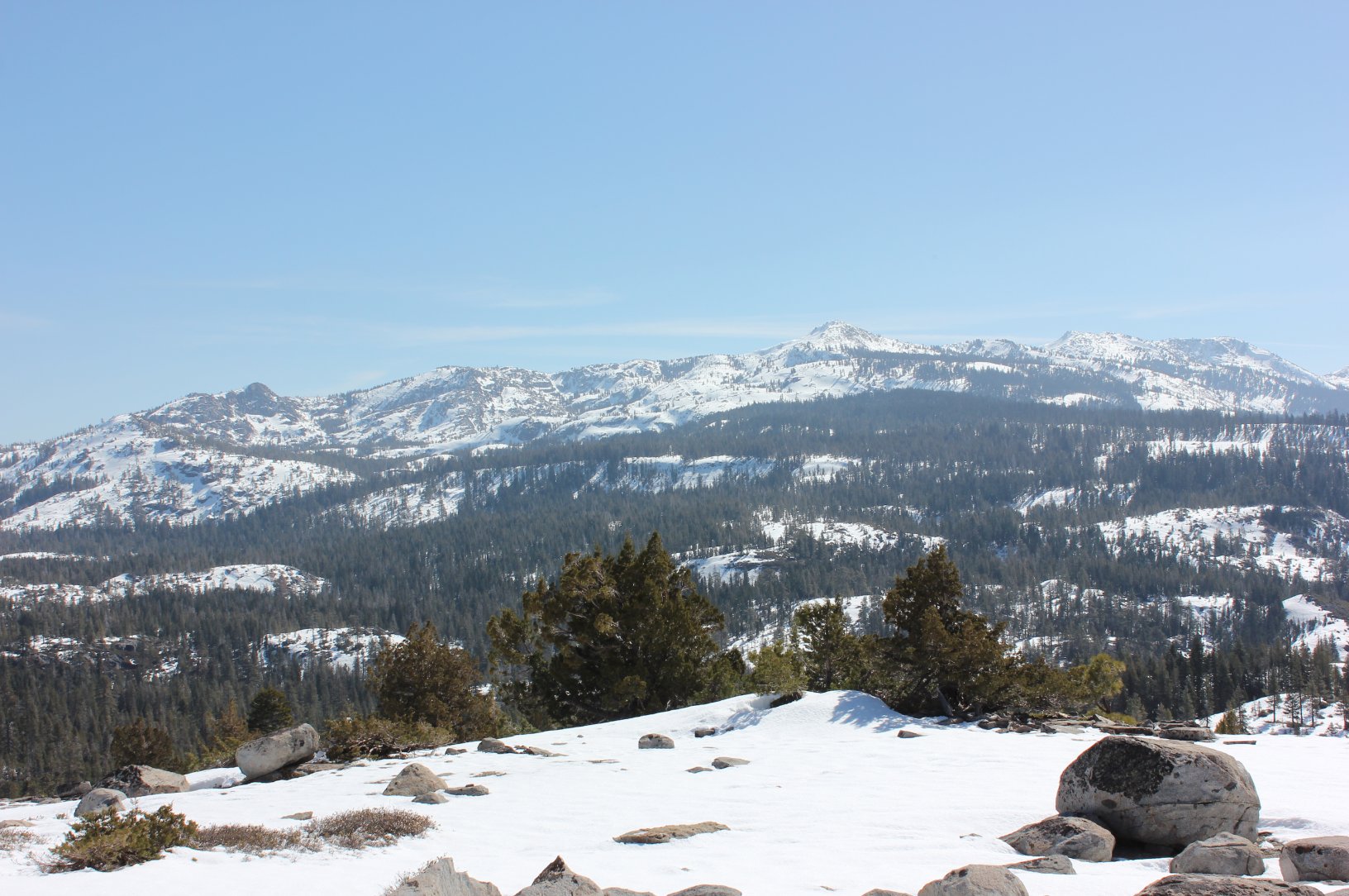
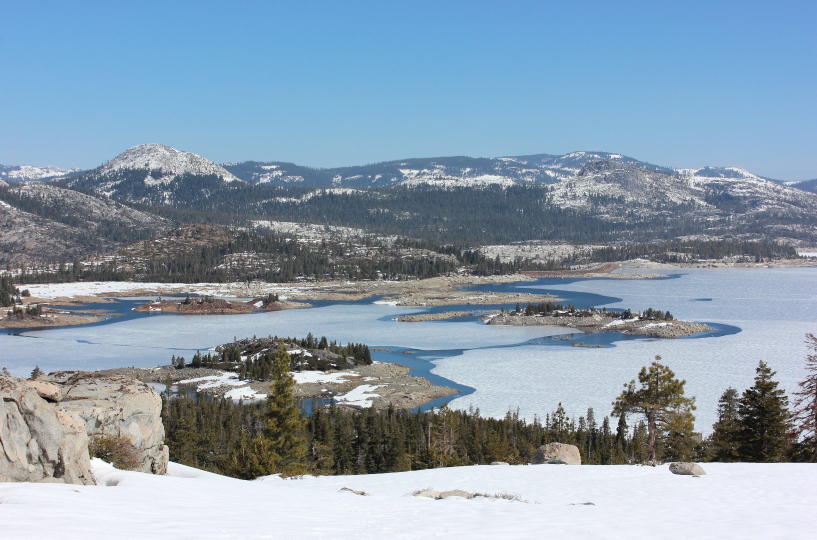
| General Notes: Views of Loon Lake and Tells Peak from the small summit are well worth the effort to get here. If you decide to access the summit from the backside, you can climb up past Berts Lake to reach the viewpoint area. |
|||||