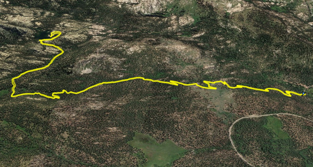
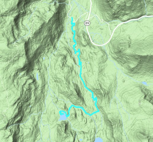
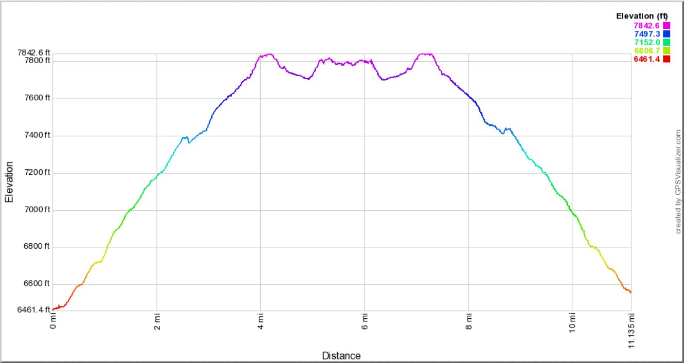
Distance: 11.1 Miles
Vertical Gain: 900'
Group Size: 1
Hike Rating: Easy Moderate Hard Strenuous
 GPX
for
this trip
GPX
for
this trip
| Start Coordinates: | N 38 47.757, W 120 01.066 | End Coordinates: | Same as Start Coordinates | ||
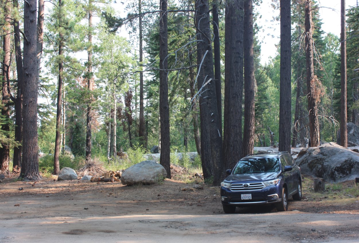
| Car Shuttle Req'd: | No | Parking Directions: | Take Highway 50 to S. Upper Truckee Road. Turn south and head down approximately 3.6 miles to the entrace to the Hawley Grade National Recreation trail. If the gate is closed, then park off the road in this area. Otherwise, continue up the road for 1/10 of a mile to the parking area at the coordinates listed. | ||
| Hazards of Note: | This is a relatively popular mountain bike trail so be on the lookout for riders not paying attention. | Crowd Factor: | Moderate. This is a lesser known trail to Lake Dardanelles than the one from Big Meadow, but while there were no other hikers encountered on it there were a number of mountain biking enthusiasts on the trail. | ||
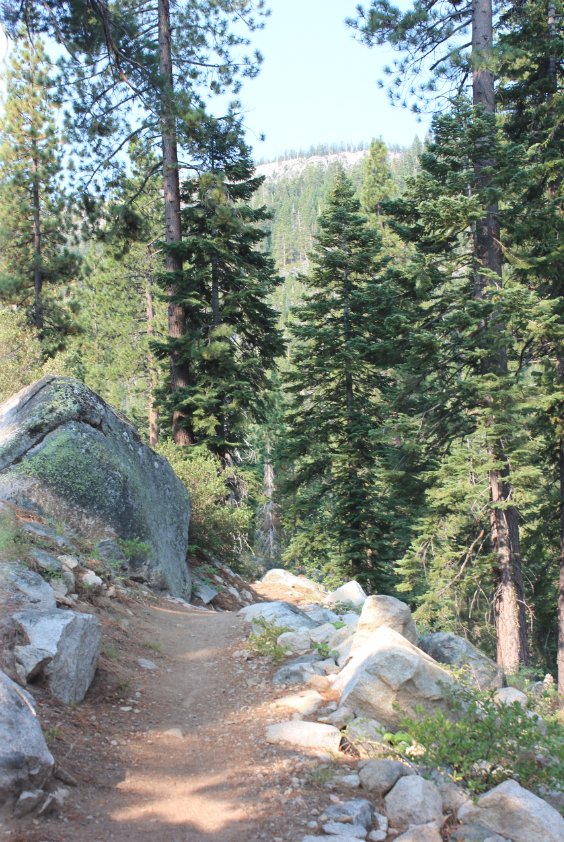
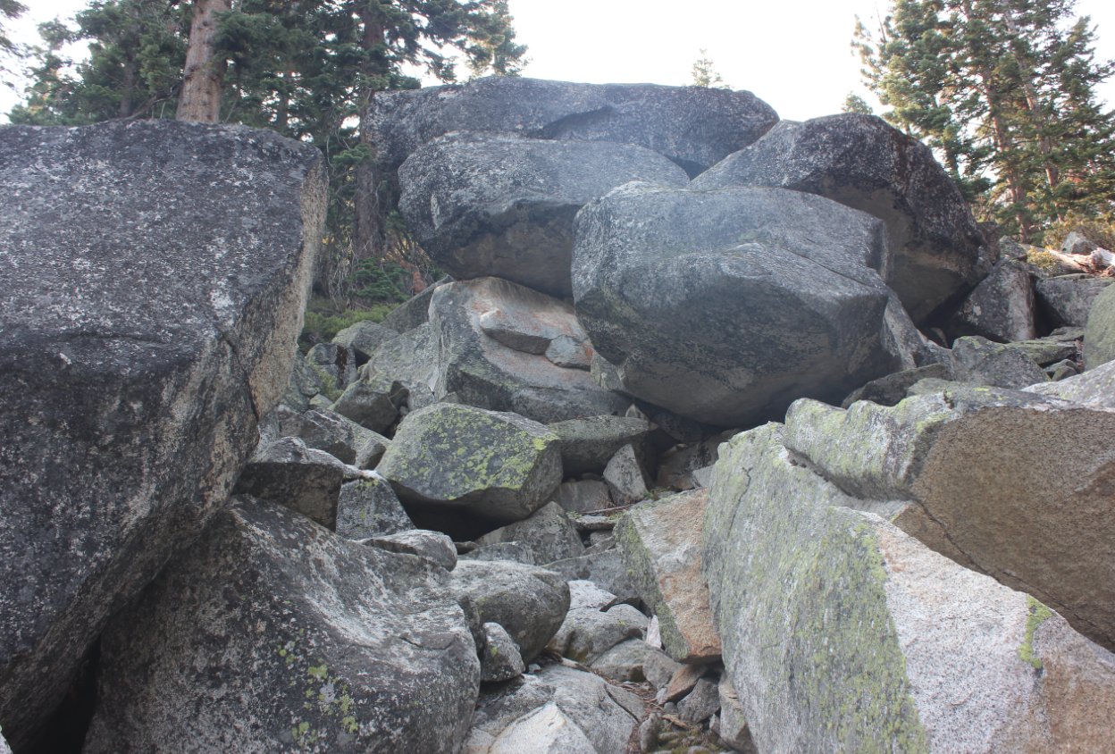
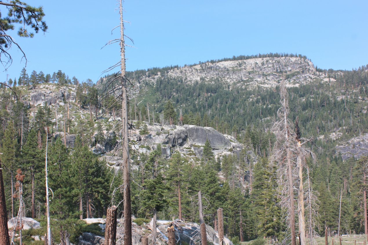
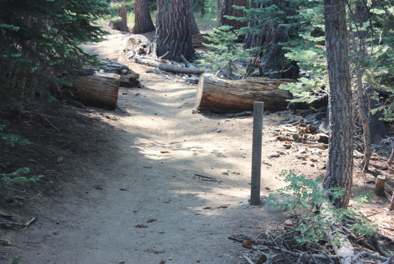
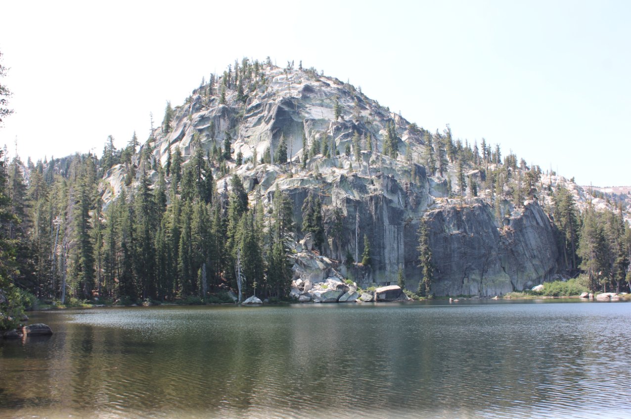
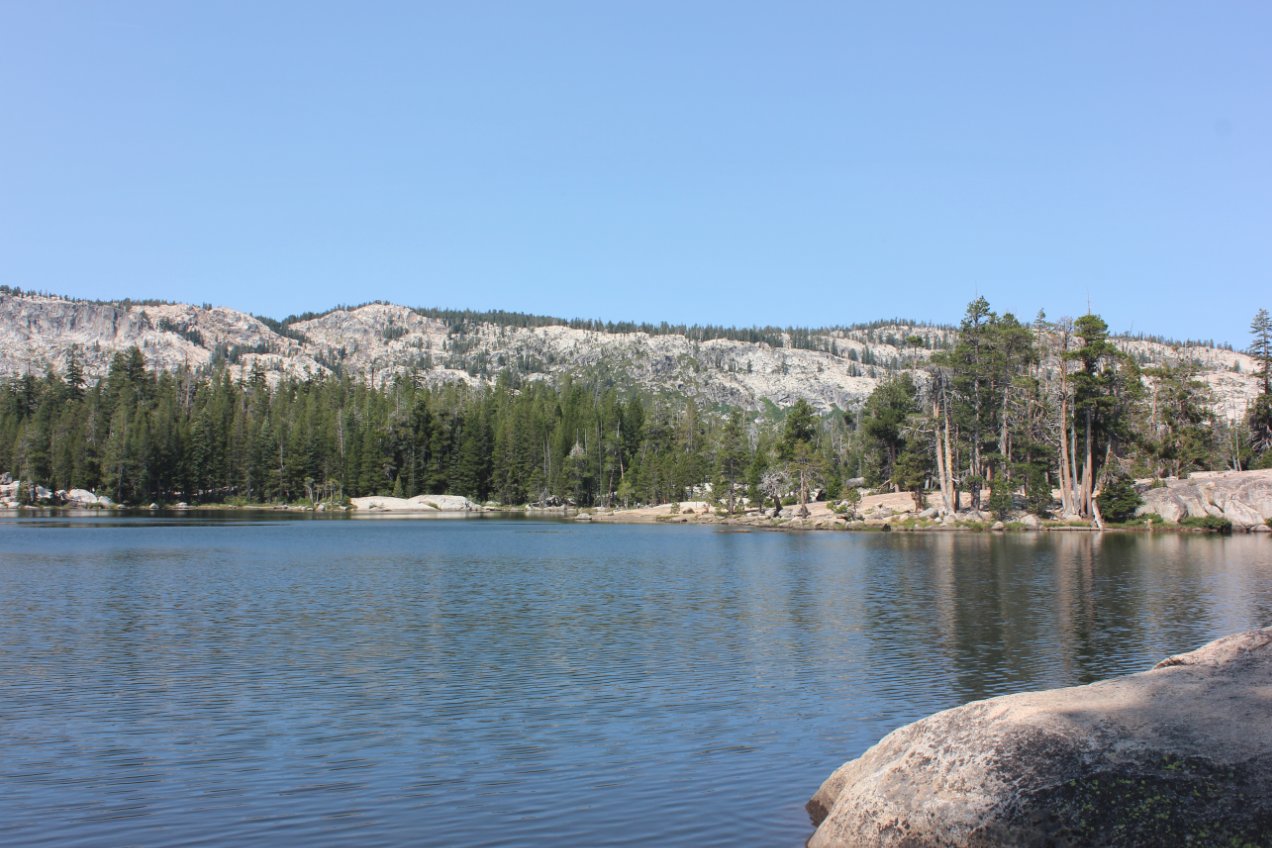
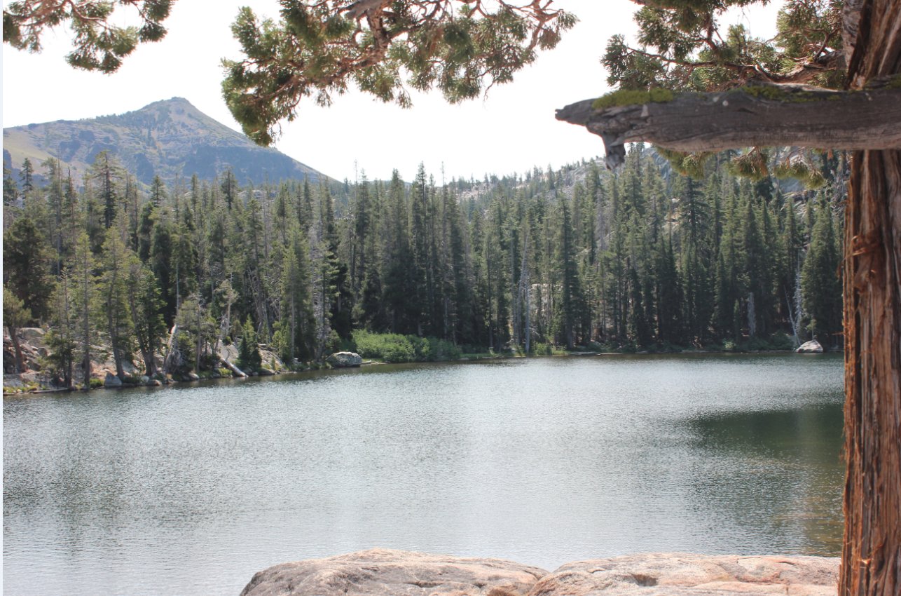
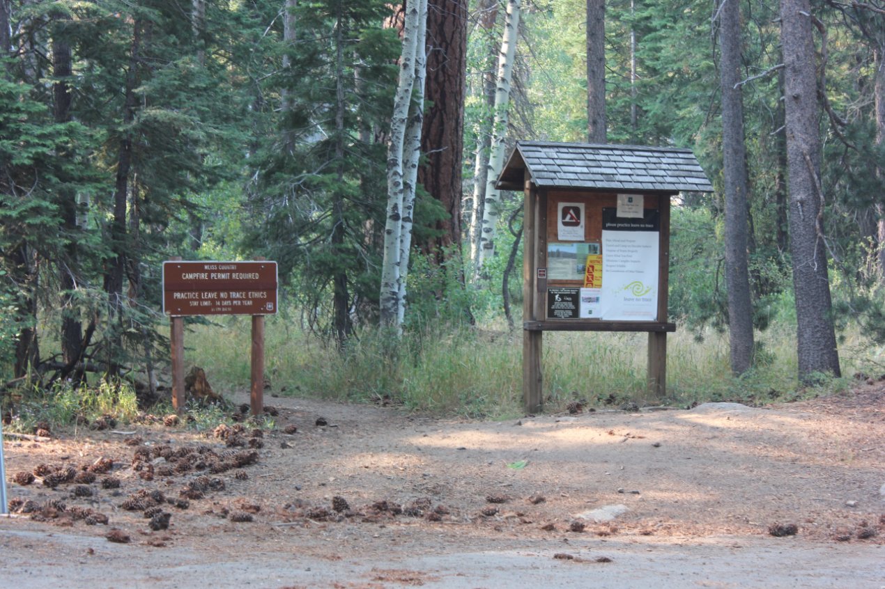
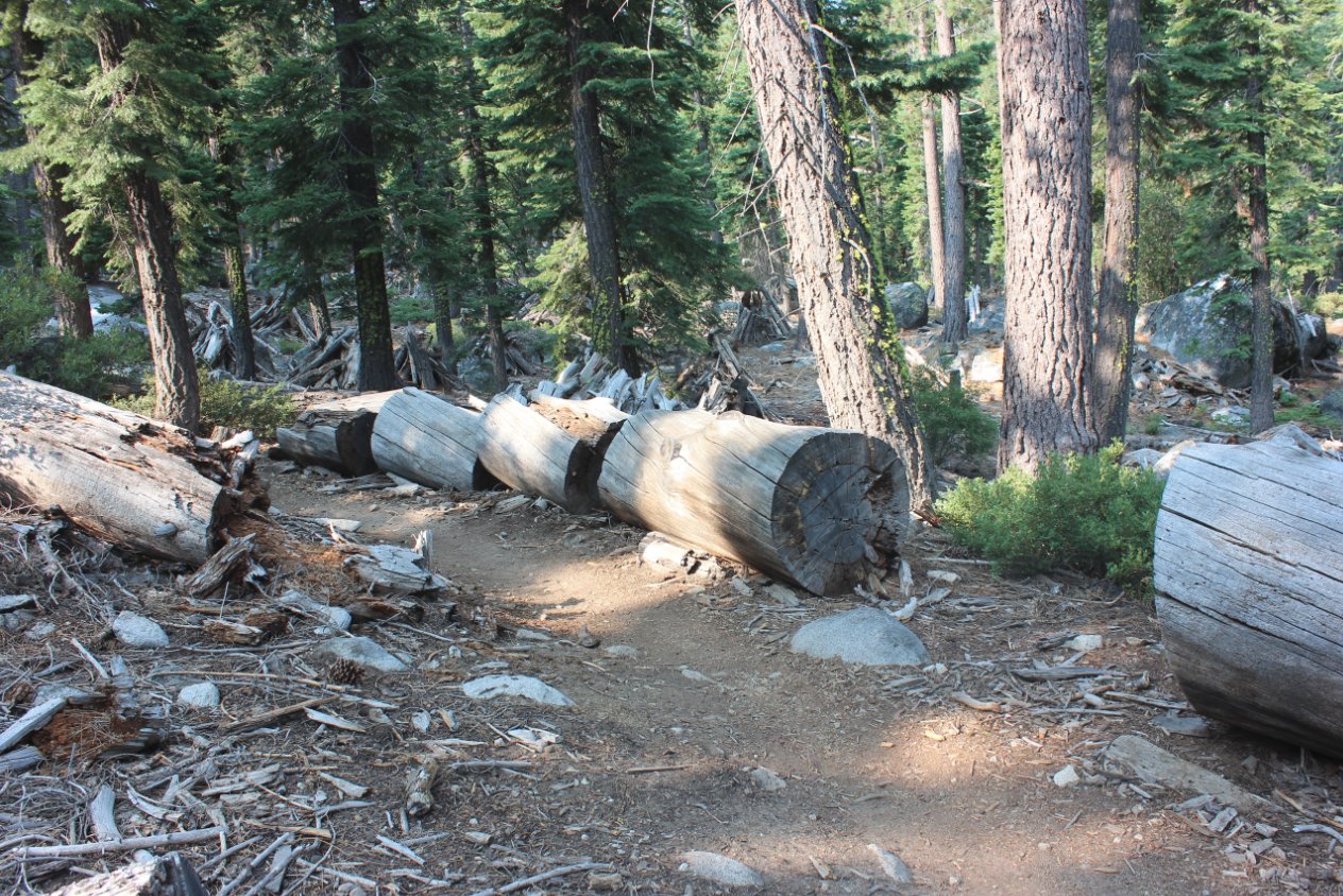
| General Notes: From the start parking area, head south to pick up the signed trail for the Lake Valley trail. There is an information kiosk here and it should be easy to tell where the beginning of the trail is located. From this point you will begin to climb gradually almost immediately, and your climb will be constant over the nearly 5 miles or so that it takes to reach the lake. There are some nice views of the mountains to the west above Christmas Valley, and you can even see the bridges that support Highway 50 as it winds its way down from Echo Summit toward the town of Meyers at the entrance to the Lake Tahoe basin. There are some nice wildflower displays from time to time along the way, but the majority of the time the views are limited as you continually climb through the often forested trail up toward the lake. Turn right at the signed junction to Lake Dardanelles, and if you reach a junction with the Tahoe Rim Trail another 1/4 mile beyond this, you have gone a little too far and need to head back to the trail junction. The last mile to the lake heads north and then bends in a big semi circle to drop you down into the granite bowl where Dardanelles Lake is found. |
|||||