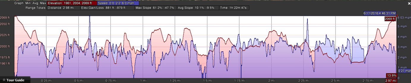
Distance: 3.0 Miles
Vertical Gain: 100'
Group Size: 1
Hike Rating: Easy Moderate Hard Strenuous
 GPX for
this trip
GPX for
this trip
| Start Coordinates: | N 38 20.695, W 120 40.065 | End Coordinates: | Same as start coordinates | ||
| Car Shuttle Req'd: | No | Parking Directions: | Take Highway 49 to Clinton Rd, just south of the town of Jackson. Turn east, and follow the road for about 5 miles, turning right onto Amador Ln and following that to the trailhead for about a mile and a half. Find the trailhead parking at a locked gate turnout on the left. | ||
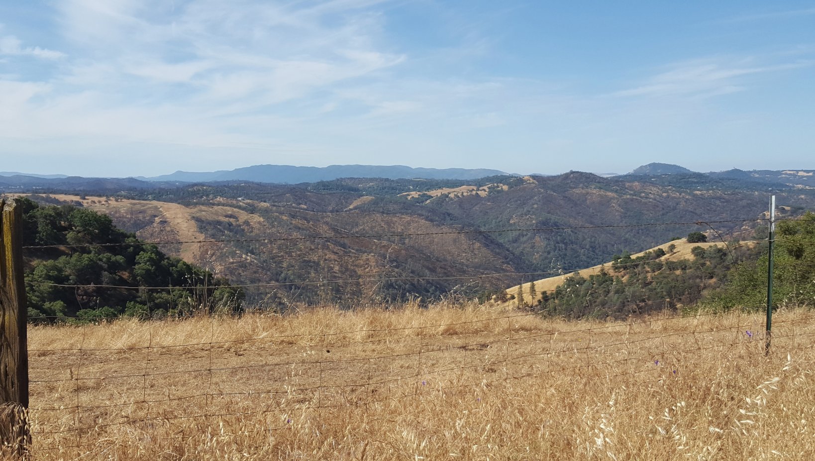
| Hazards of Note: | Rattlesnakes, ticks, poison oak. | Crowd Factor: | Moderate. Dog walkers and runners particular make use of this trail. | ||
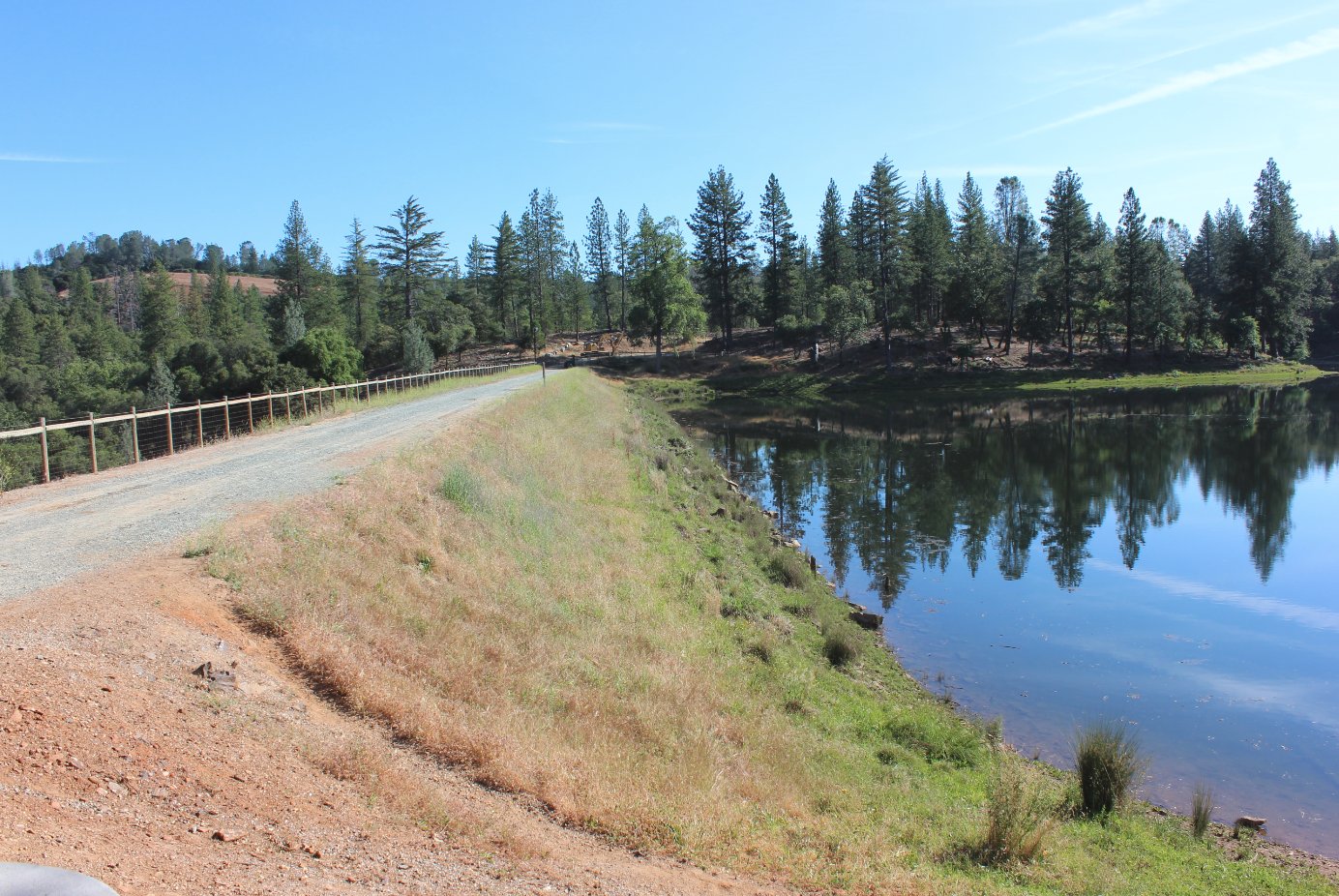
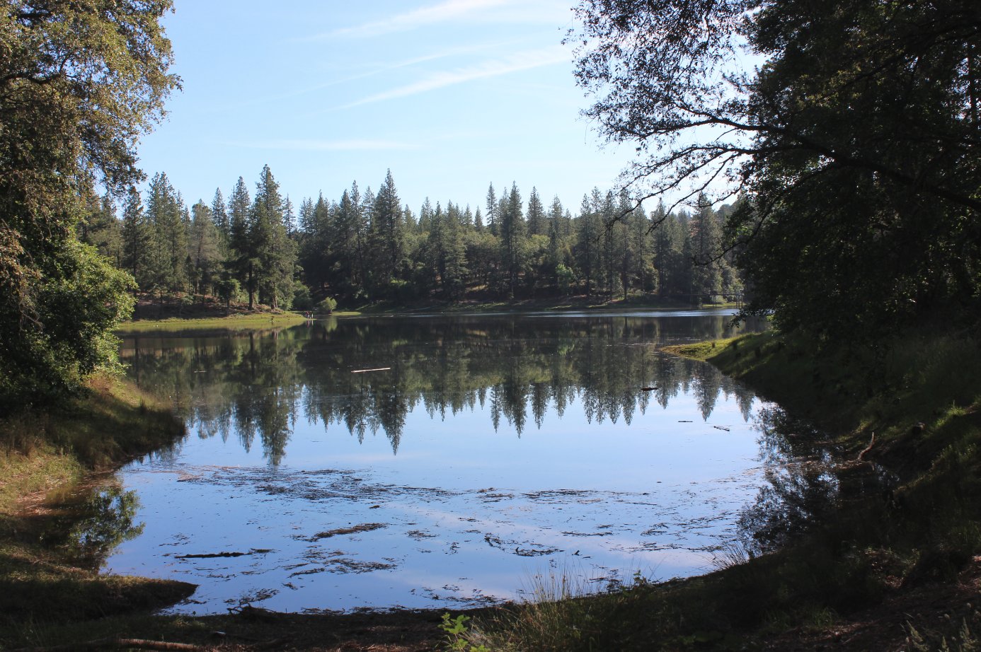
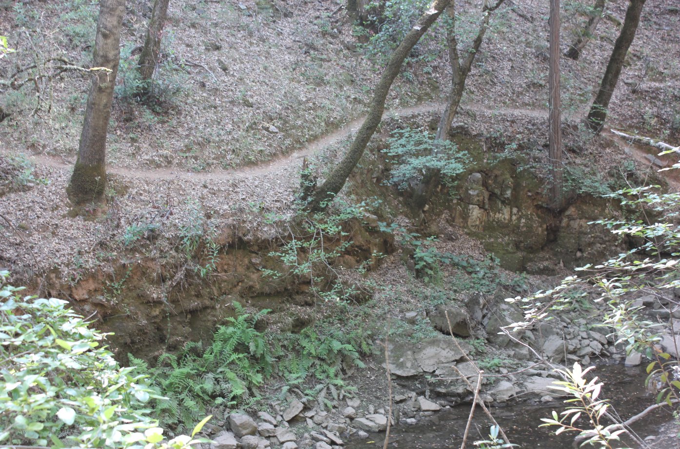
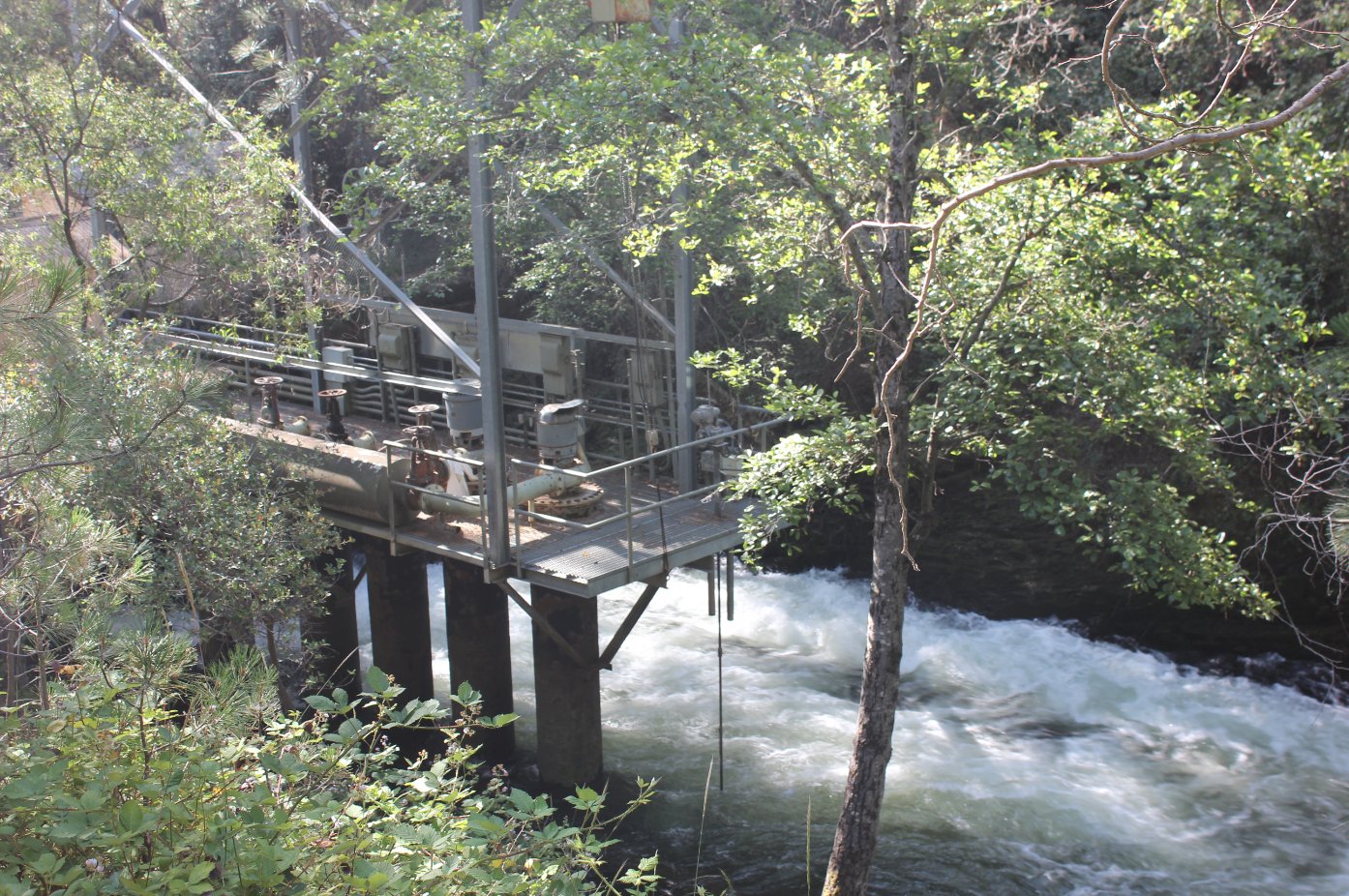
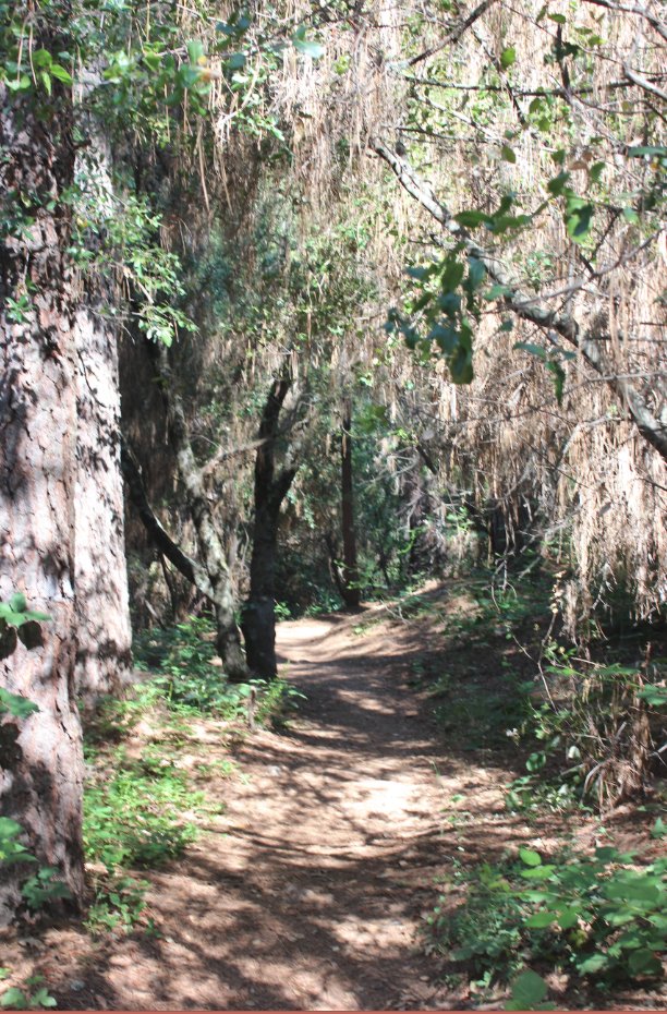
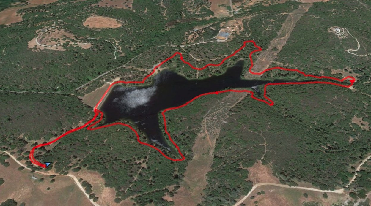
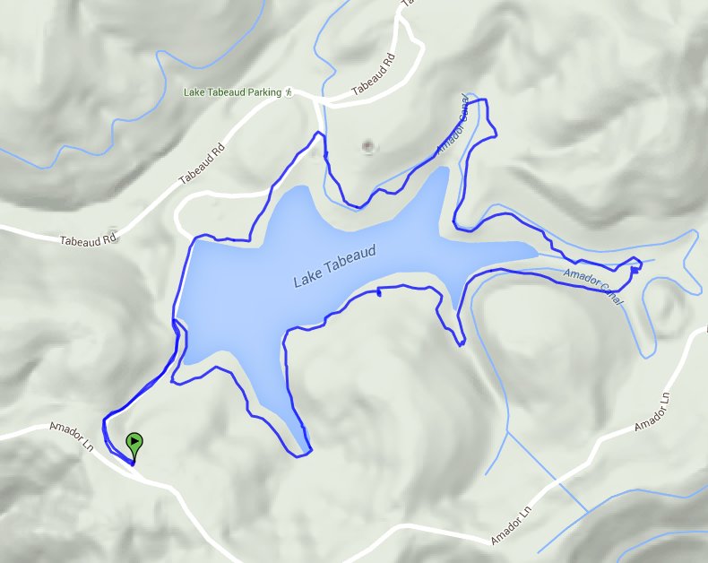
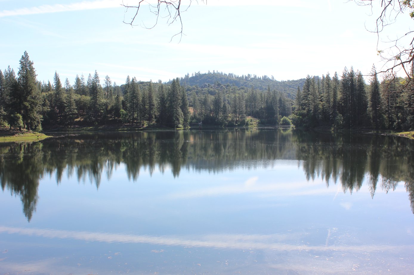
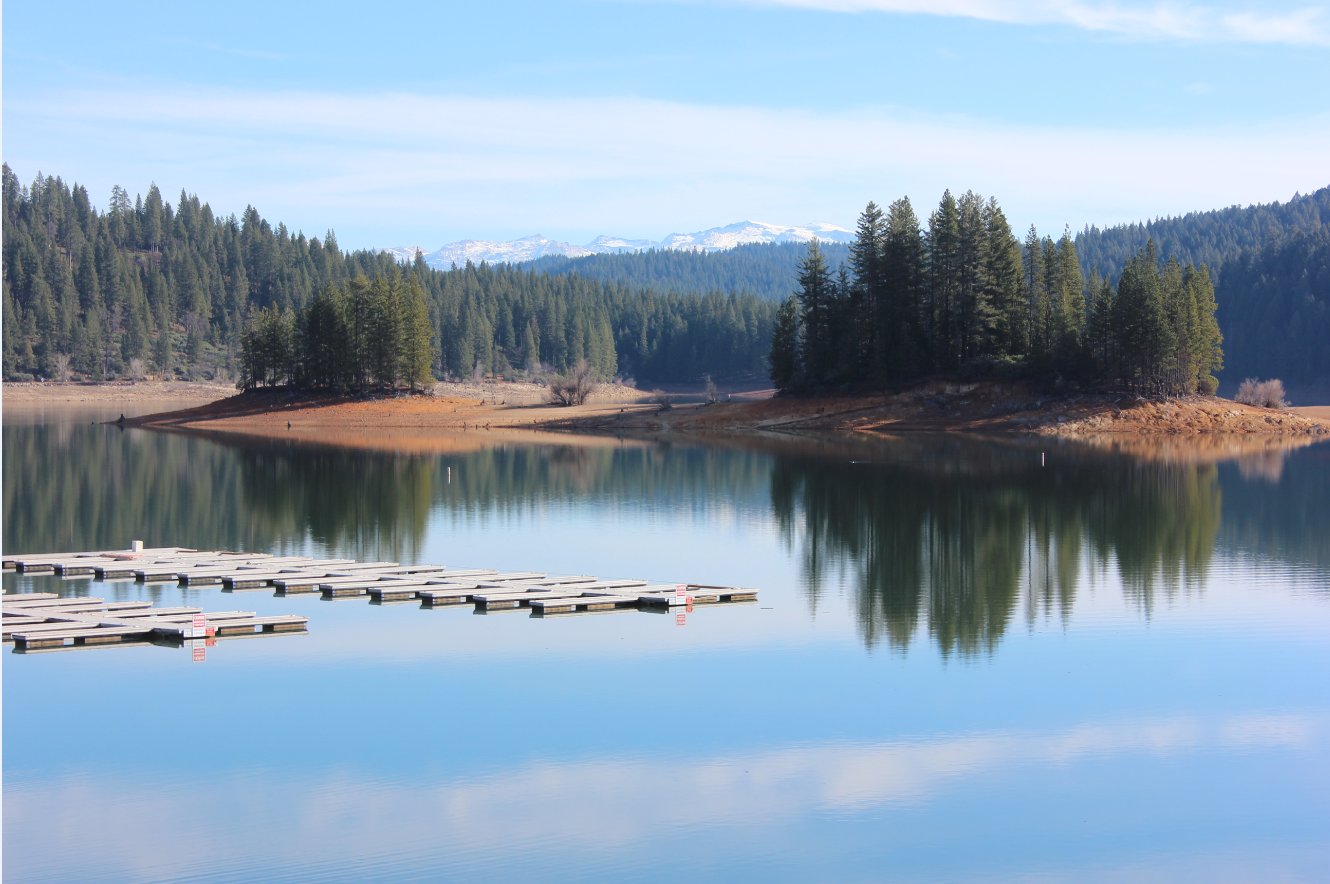
| General Notes: From the parking lot head past the green gate and down the road toward the lake in front of you. At the south end of the dam is a small use trail, which heads to the south. It will be pretty much a single track trail all the way around the south half of the lake. There is very little poison oak anywhere near the trail, but there are long weeds that you need to be careful of avoiding and their associated tick residents. One particular finger of the lake on the south side sports the worst part of the trail, where it drops sharply down some steep rocks into the ravine before climbing back up on the other side. Once you reach the eastern end of the lake, the trail becomes a dirt road, and bends to the north, past a PG&E power generation facility at the water inlet to the lake. past this take the trail that is closest to the lake shore, and follow it around until you reach the picnic and parking area on the north side of the lake. Continue past the parking area and pick up the trail again, following it to and across the dam until you reach your starting point and head back up the dirt road there to the parking area. |
|||||