Beyond Lake
Shealor Hike
|
|
Trip Date: 08/22/2017
Distance: 5.7 Miles
Vertical Gain:
1200'
Group Size:
2
Hike Rating:
Easy
Moderate
Hard
Strenuous |

 See
video of hike See
video of hike
 GPX
for
this trip GPX
for
this trip |
|

| Start
Coordinates: |
N 38 39.324, W 120 08.094 |
|
End
Coordinates: |
Same as Start Coordinates
|
| Car
Shuttle
Req'd: |
No |
|
Parking
Directions: |
Take
Highway 88 to the Shealor Lakes parking area a little more than 5 1/2
miles east of the junction with Mormom Emigrant Trail. |
| Hazards
of
Note: |
Weather in this area can
change quickly so be prepared for various temperatures and
rain. There are cairns marking the way at some places past
the first lake, but there is little to no trail in most places.
Good route-finding skills are necessary for this hike.
|
|
Crowd
Factor: |
Moderate to negligible.
This is a short, popular hike with a pristine alpine lake and
great views into the Caples Creek Canyon drainage area. Past the
first lake it is unlikely you will run into anyone else.
|
General
Notes:
From
the parking area head west up the trailhead, and follow the dirt path
until the terrain changes to granite. Follow the marked path from
this point up to a ridge with views north into the Caples Creek area,
and then continue down and to the south, winding slowly down to the
lake. At the north end of the lake is the outlet into the
drainage area below. Stay on the right (east) side of the stream,
if running, and head carefully down into the valley. The water in
this area is seasonal, so late in the summer/fall there may be no water
draining out of the main Shealor lake. If there is, be careful
crossing the river. Look for wide, flat spots with the water
running slowly.
|
|
|
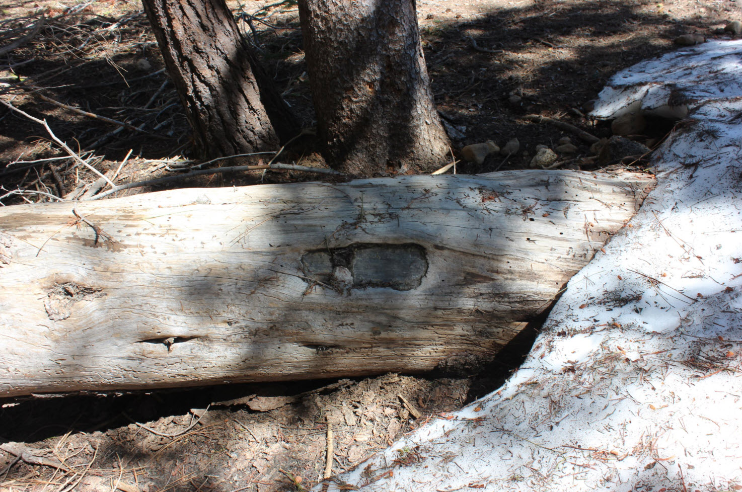
The
kiosk that provides information at the trailhead was heavily damaged by
the massive amounts of snow this past winter.
|
 |
|
Even
the blaze trees which mark the trail were susceptible to the tough
winter.
|
 |
|
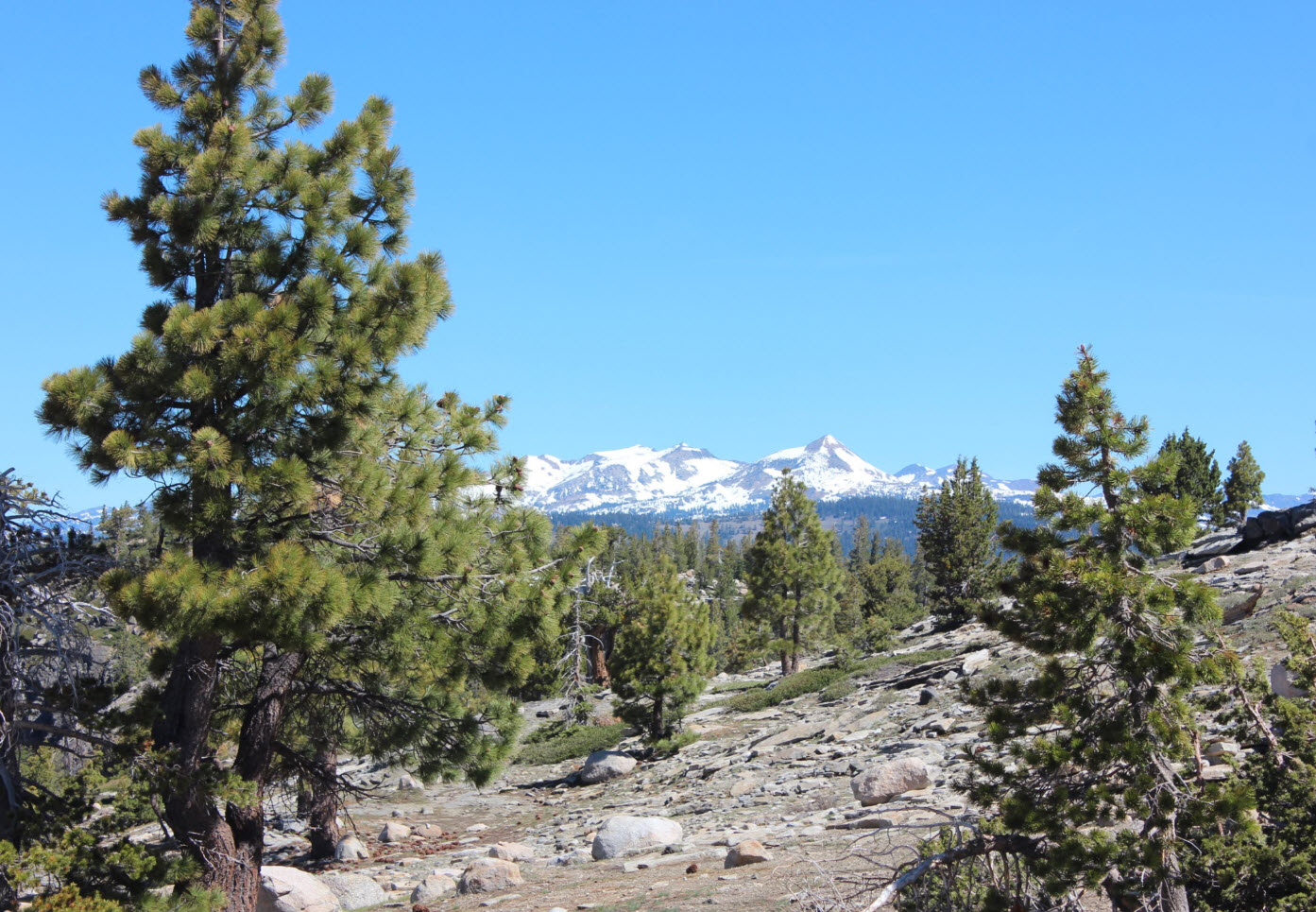
Within
the first mile there is a crest in the trail with a fantastic look at
the Crystal Range and Pyramid Peak to the north.
|
 |
|
The
view of the lake from high above as you head down the granite is very
enticing. Especially in the spring with the waterfall glissading
over the rocks on the south end.
|
 |
|
the
lake was in full glory on this day with still waters offering a great
reflection of the waterfall cascading over the granite from snowmelt
just a little further up.
|
 |
|
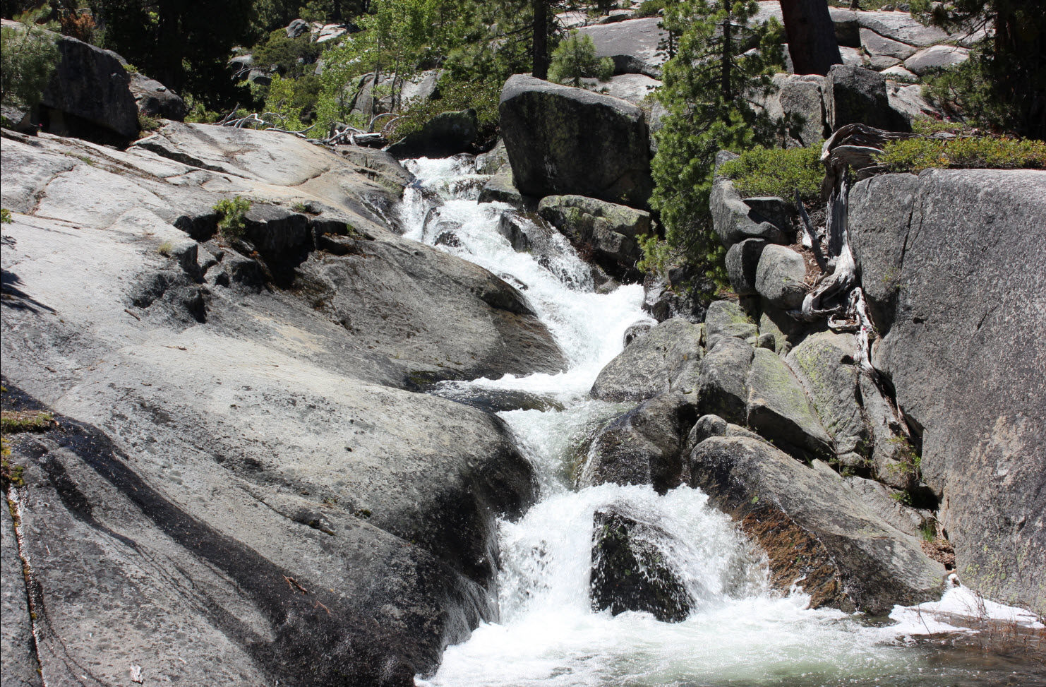
The
water coming out of the lake was as spectacular as the water going
in. Just a little bit past the end of the lake was the start of a
long series of cascades down into the valley and lakes further below.
|

|
|
This
section was amazingly similar to hiking through the Tuolumne River
Canyon in Yosemite with the water making its way over the granite.
|
 |
|
A
couple shots of the cascades that we followed down the drainage canyon
toward the other Shealor Lakes.
|
  |
|
My hiking partner (another Greg) contemplating the water crossing we would have to make to get to the other lakes.
|
 |
|
Yours truly making the crossing at a wide spot, that was very slippery from the moss.
|
 |
|
Granite scooped out by glacial action, also reminiscent of Yosemite areas.
|
 |
|
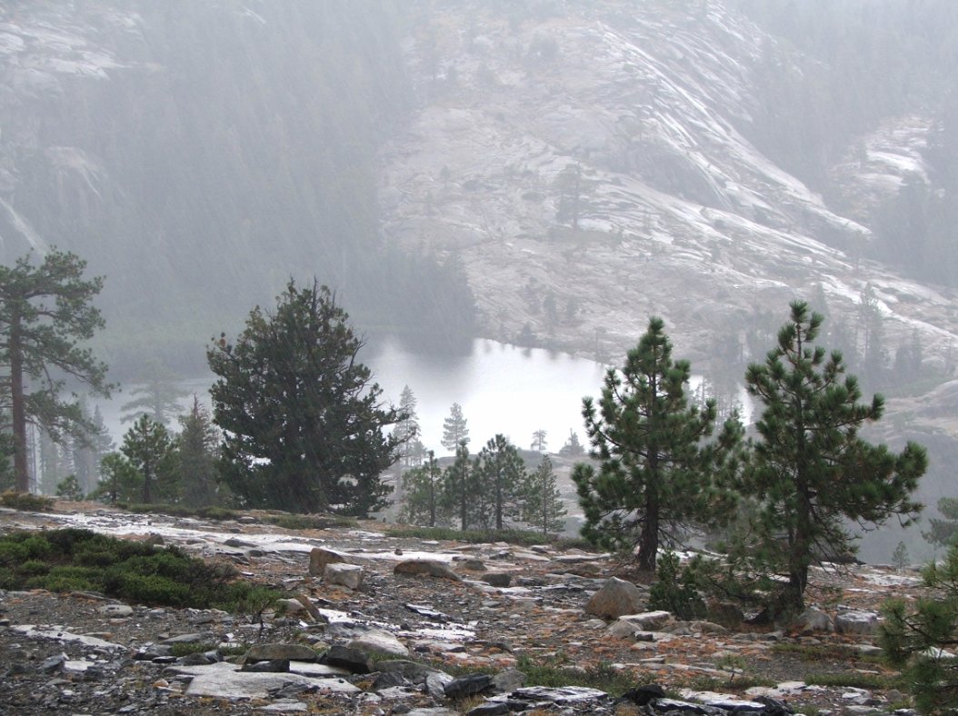
At the north end of the third of the four main Shealor Lakes.
|
 |
|
Crossing the outlet from the third lake.
|
 |
|
Cross-country climbing back up granite to head out of the canyon. |
 |
|
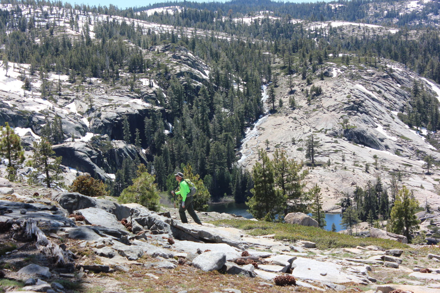
Greg B making his way back to the trail high above the first Shealor Lake.
|
 |
|
Headed back to the trailhead with Thunder Mountain in the distance.
|
 |
|
GPS
Track of the full hike. |
 |