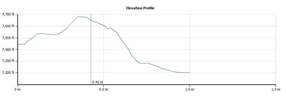
Distance: 3.0 Miles
Vertical Gain: 500'
Group Size: 6
Hike Rating: Easy Moderate Hard Strenuous
| Start Coordinates: | N 38 39.324, W 120 08.094 | End Coordinates: | Same as Start Coordinates | ||
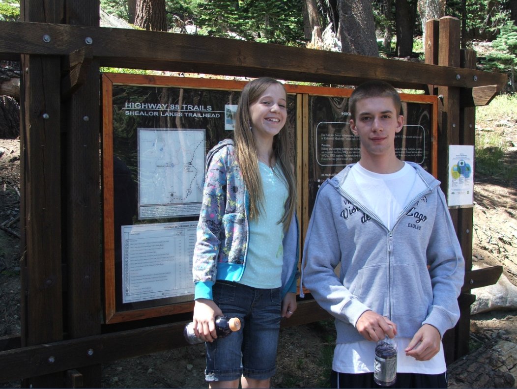
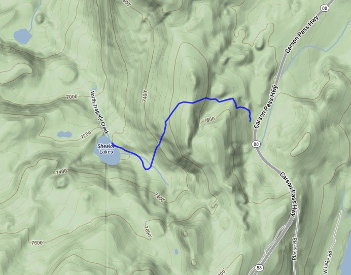
| Car Shuttle Req'd: | No | Parking Directions: | Take Highway 88 to the Shealor Lakes parking area a little more than 5 1/2 miles east of the junction with Mormom Emigrant Trail. | ||
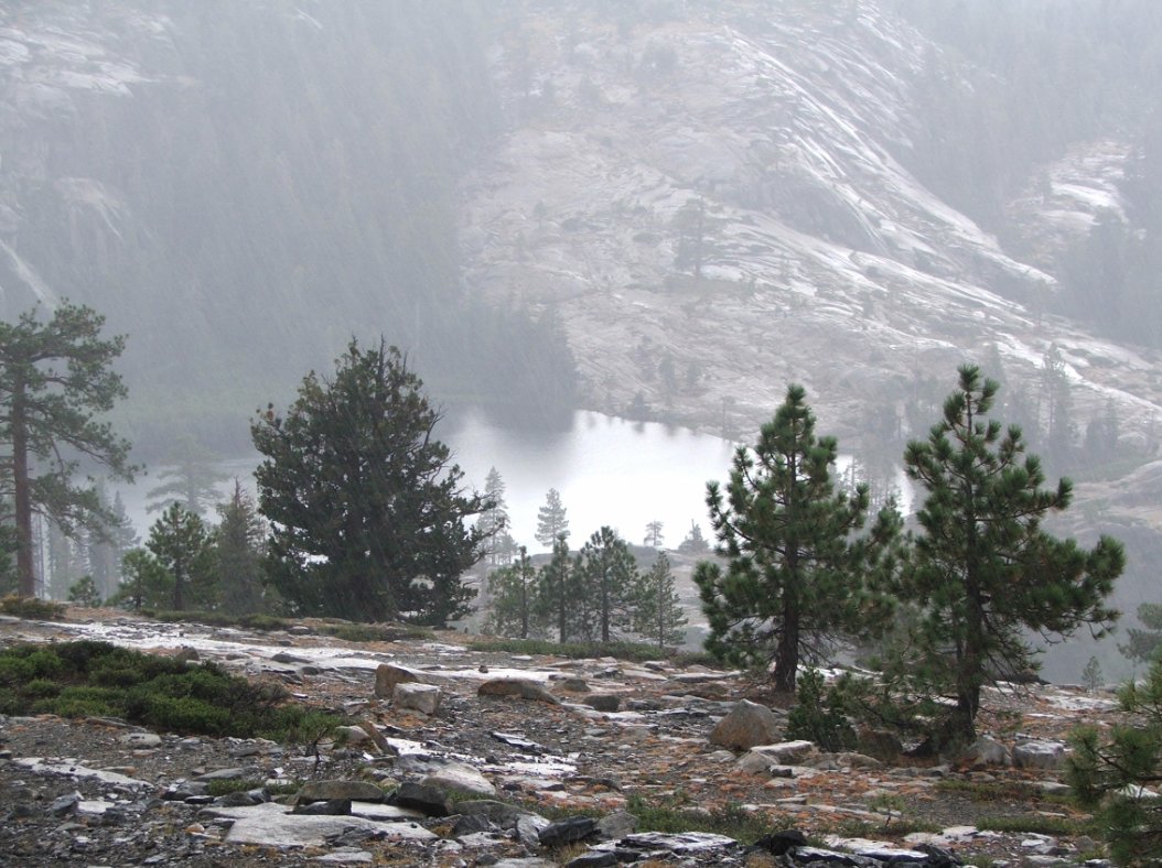
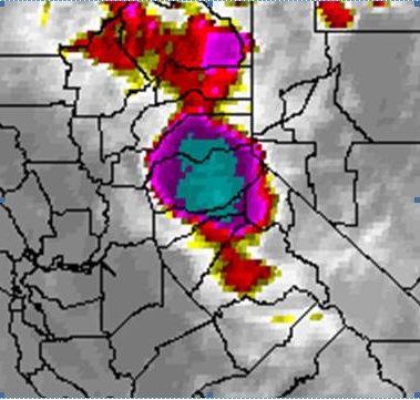
| Hazards of Note: | Weather in this area can
change quickly so be prepared for various temperatures and rain. |
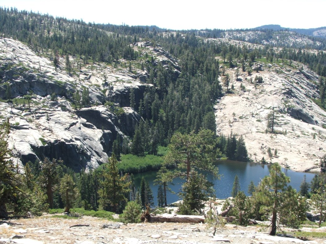
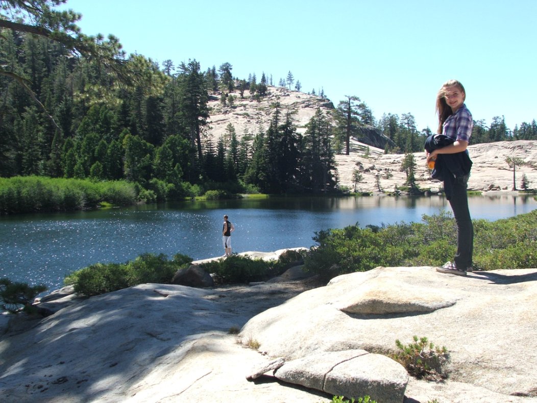
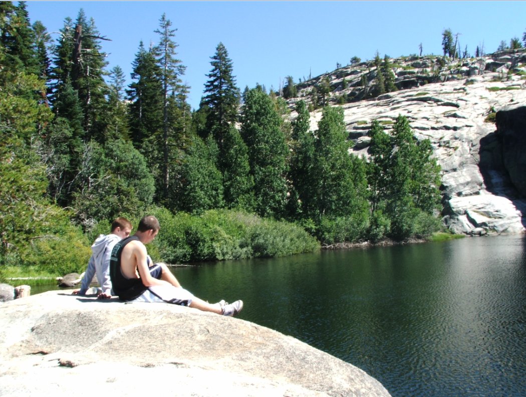
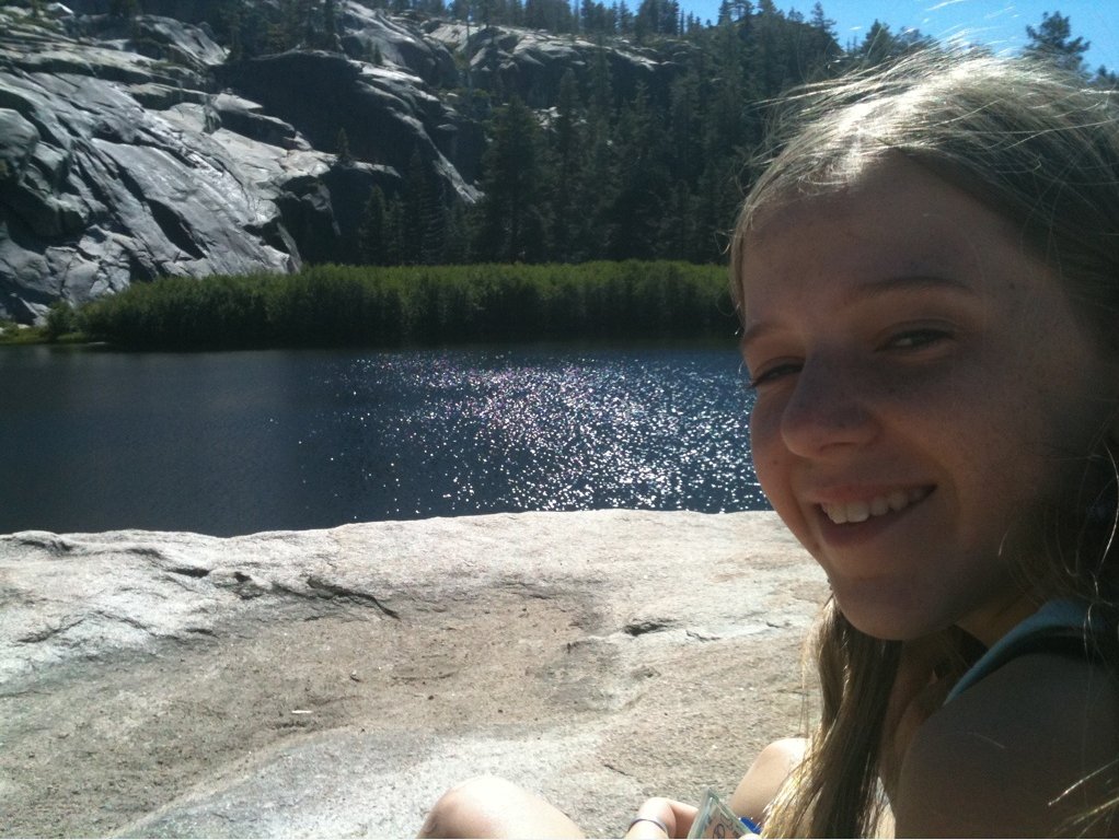
Crowd Factor: | Moderate. This is a short, popular hike with a pristine alpine lake and great views into the Caples Creek Canyon drainage area. | ||
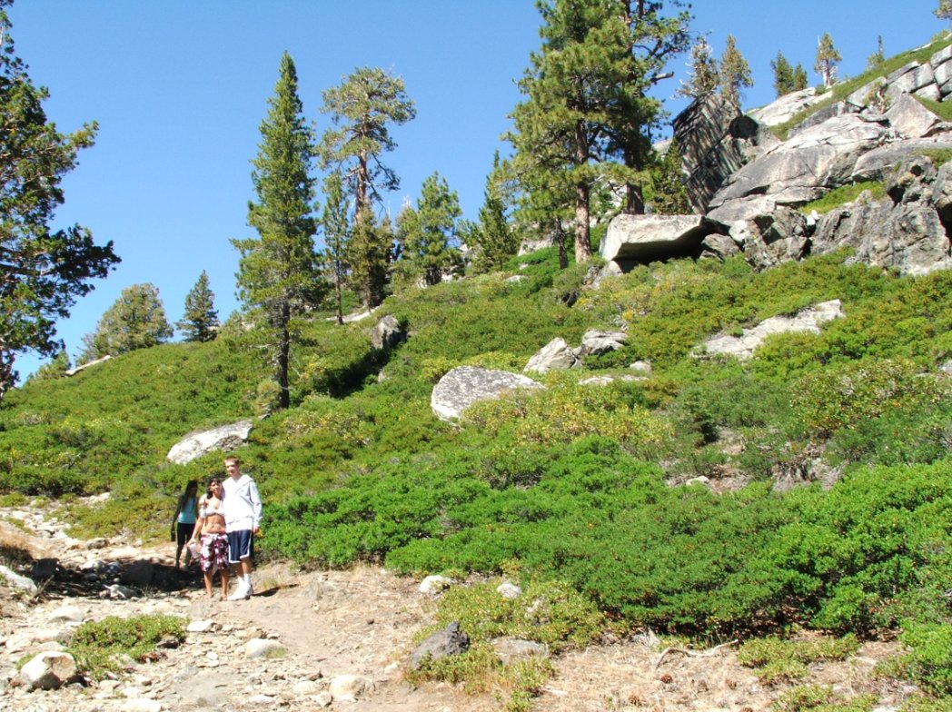
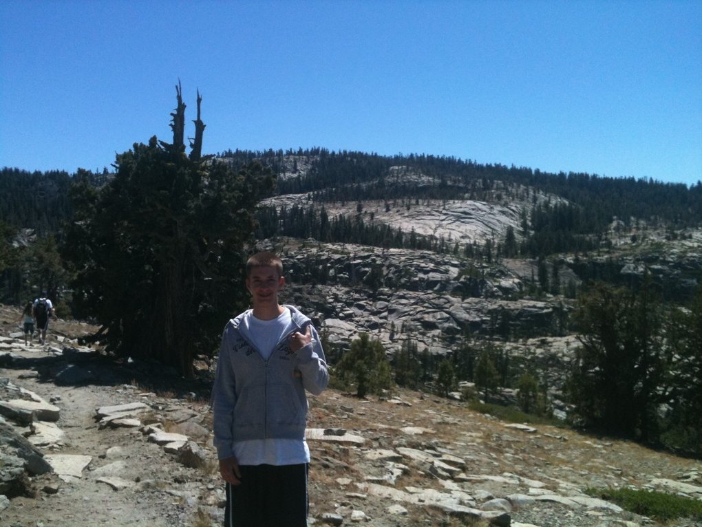
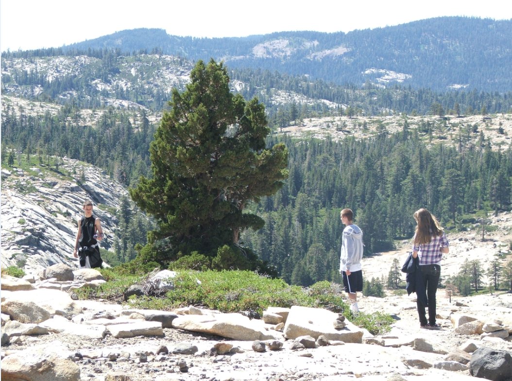
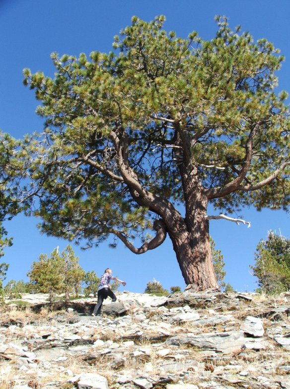
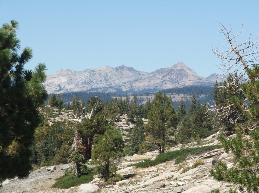
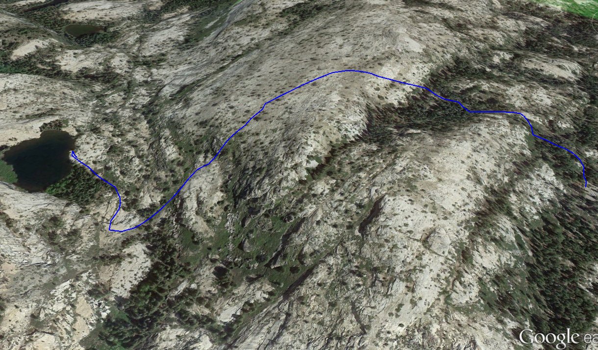
| General Notes: From the parking area head west up the trailhead, and follow the dirt path until the terrain changes to granite. Follow the marked path from this point up to a ridge with views north into the Caples Creek area, and then continue down and to the south, winding slowly down to the lake. |
|||||