Distance: 5.0 Miles
Vertical Gain: 500'
Group Size: 12
Hike Rating: Easy Moderate Hard Strenuous
 See
video of hike
See
video of hike
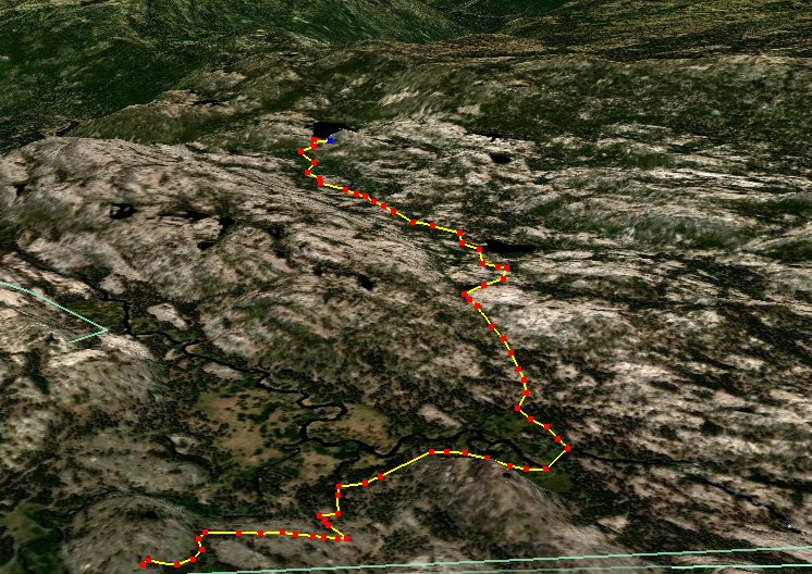
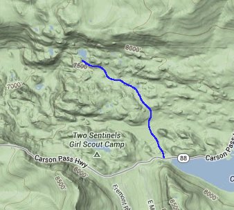
 GPX for
this trip
GPX for
this trip 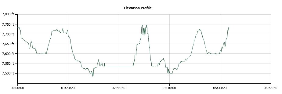
| Start Coordinates: | N 38 42.240, W 120 04.174 | End Coordinates: | Same as Start Coordinates | ||
| Car Shuttle Req'd: | No | Parking Directions: | Take Highway 88 to the signed Lake Margaret trailhead on the north side of the highway just to the west of Caples Lake. | ||
| Hazards of Note: | Weather in this area can
change quickly so be prepared for various temperatures and rain. |
Crowd Factor: | High. This is a popular, easy hike that is considered a 'standard' hike for this area of the Sierras. | ||
| General
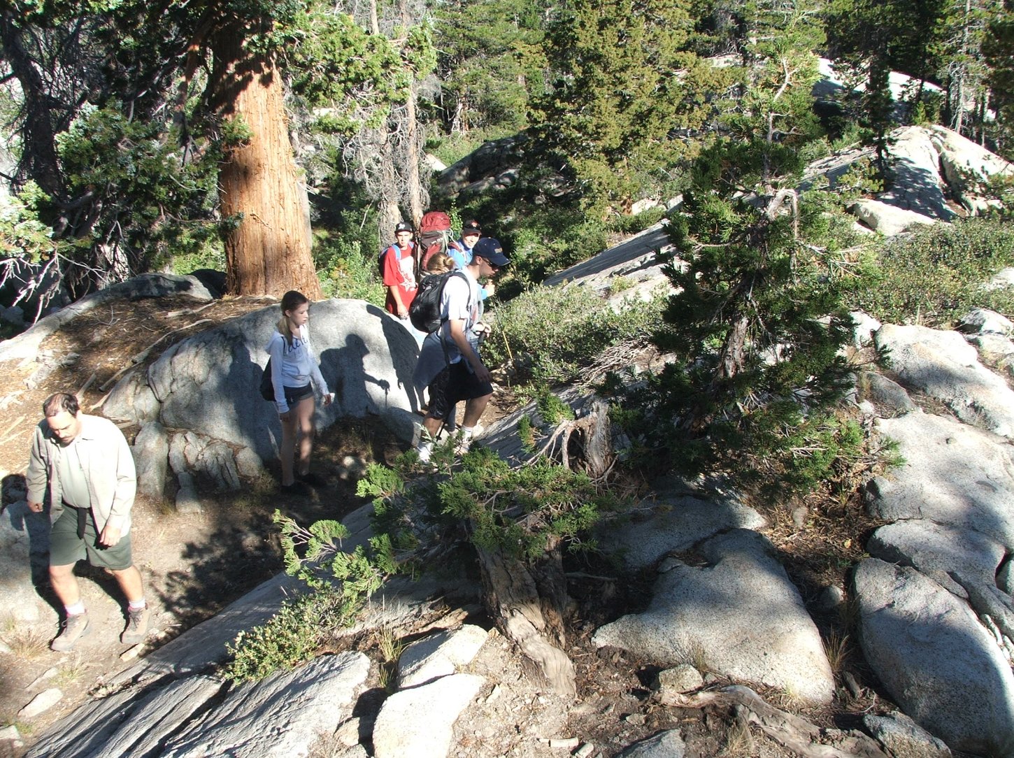
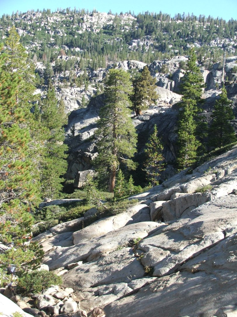
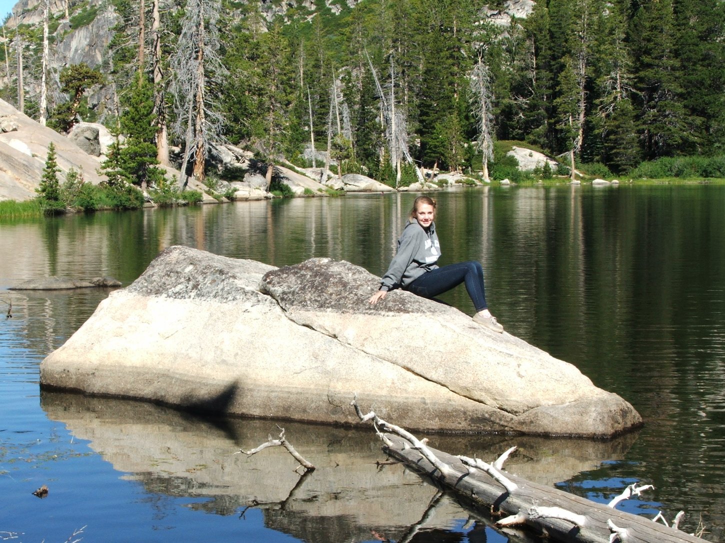
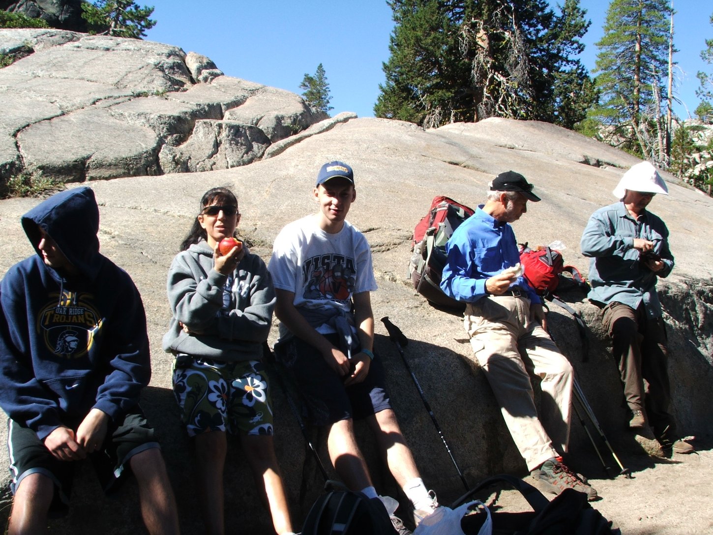
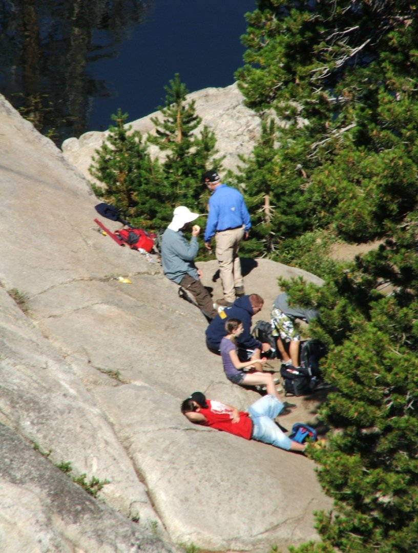
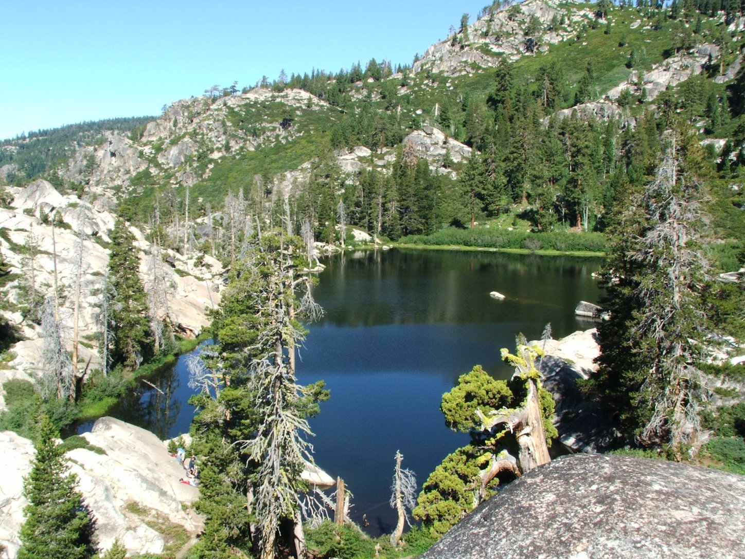
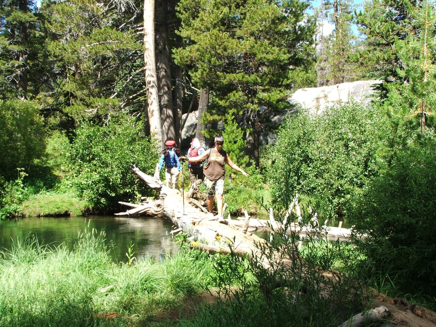
Notes: From the parking area head along the trail for just over two miles to the lake. There are a number of stream crossings along the way, but there are logs, rocks and other easy ways to navigate across all of them. At the lake, there are many pleasant locations to enjoy the visit, and there is also a large, flat, angled slab of granite on the south side of the lake which provides a great overall view of the lake. |
|||||