 |
Lake Ediza and Iceberg Lake Hike
|
|
Trip Date: 07/07-08/2022
Distance: 18.0 Miles
Vertical Gain:
2500'
Group Size:
5
Hike Rating:
Easy
Moderate
Hard
Strenuous |
 See
video of hike
 GPX
for
Lake Ediza GPX
for
Lake Ediza
 GPX
for
Iceberg Lake GPX
for
Iceberg Lake |
|
| Start
Coordinates: |
N 37 40.929, W 119 05.193 |
|
End
Coordinates: |
Same as Start Coordinates
|
| Car
Shuttle
Req'd: |
No |
|
Parking
Directions: |
From
Highway 395 turn west on Mammoth Scenic Loop Road. Head on
this
road for approximately 6 miles until you reach Minaret Road.
Turn
right, and head 5 miles, past the Mammoth Mountain resort area until
you reach a park service booth. Head past the booth (before
7am) and continue on this road which becomes Postpile Road
for
another 4 miles until you reach the parking area on the right for Agnew
Meadows campground area. Drive in and park as far north as
possible, passing by a couple of parking areas to get as close to the
PCT trailhead as possible. NOTE:
You need to arrive before 7am to park here or you will be REQUIRED to
take a hiker shuttle bus from Mammoth Mountain to the trailhead area.
There is a fee of $20 (as of Summer 2022) for use of the area
past the booth. |
| Hazards
of
Note: |
Long day hike, significant
elevation
gain, many trail junctions to be aware of. |
|
Crowd
Factor: |
Moderate
to High.
This is a crown
jewel hiking area. Lake Ediza and Iceberg Lakes are some of the most
amazing locations in the entire Eastern Sierras. The trail past Shadow
Lake is along the John Muir Trail (JMT) for a mile or so, which is a
very popular point to point hike from Mt. Whitney to Yosemite National
Park. The lakes are a popular destination and require reaching
the destination early for the best available camping areas.
|
General
Notes:
From
the Agnew
Meadows trailhead, find the sign for the River trail. Follow this
trail for a couple of miles into the Ansel Adams Wilderness, heading past
Olaine Lake until you reach the junction to Shadow Lake off to the left. This
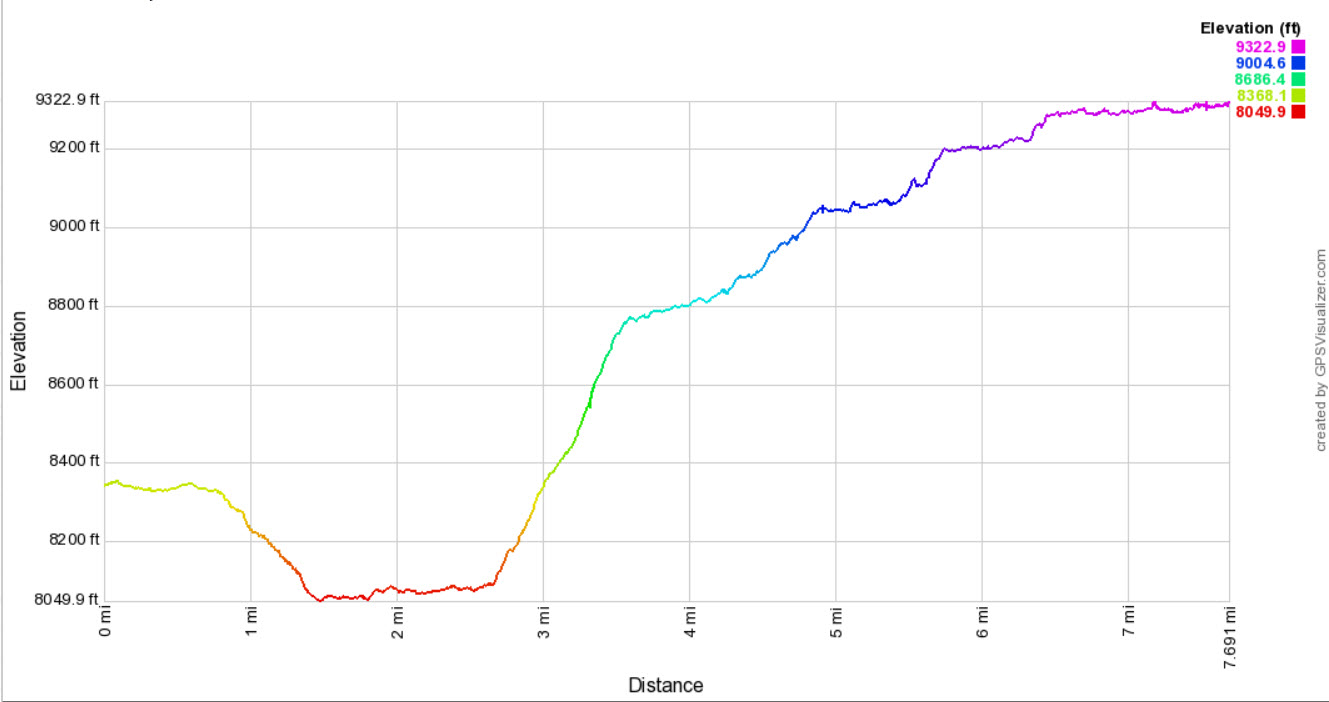
next couple miles up to Shadow Lake will offer the bulk of the elevation gain
for this trip up to Lake Ediza. Just past Shadow Lake you will turn right (north)
on the John Muir trail, which you will follow for less than a mile until you reach
the signed junction to Lake Ediza. The next mile and a half will be fairly level
as you follow the outlet stream from Lake Ediza that flows into Shadow Lake, and
then you will cross the river and climb up to Lake Ediza. The scenery in this
section is unbeatable, with the Minarets off to the left in the distance and Mt.
Ritter and Mt. Banner off to the right.
Head around the south side of the lake and look for the camping spots that are found
along the far western edge of the lake.
To head up to Iceberg Lake, there is a signed junction near the southeast corner of
Lake Ediza that will take you up another 600 feet of elevation gain as you reach the
stunning Iceberg Lake near the base of the Minarets which tower high above you.
|
|
|
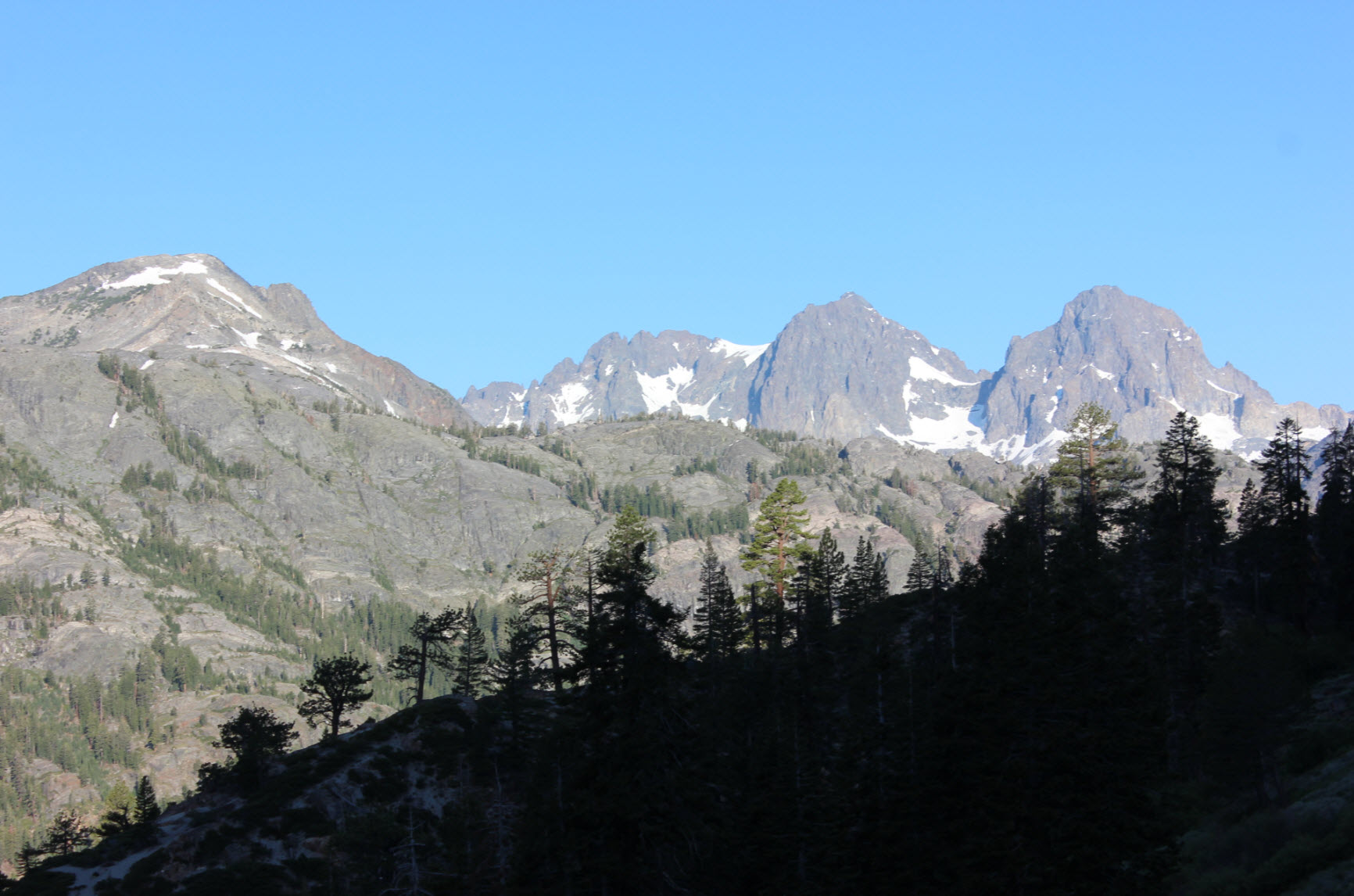
Pulling
into the parking area near Agnew Meadows, there were some nice views to
the northwest of some of the area that will get to be experienced on
this loop.
|
 |
|
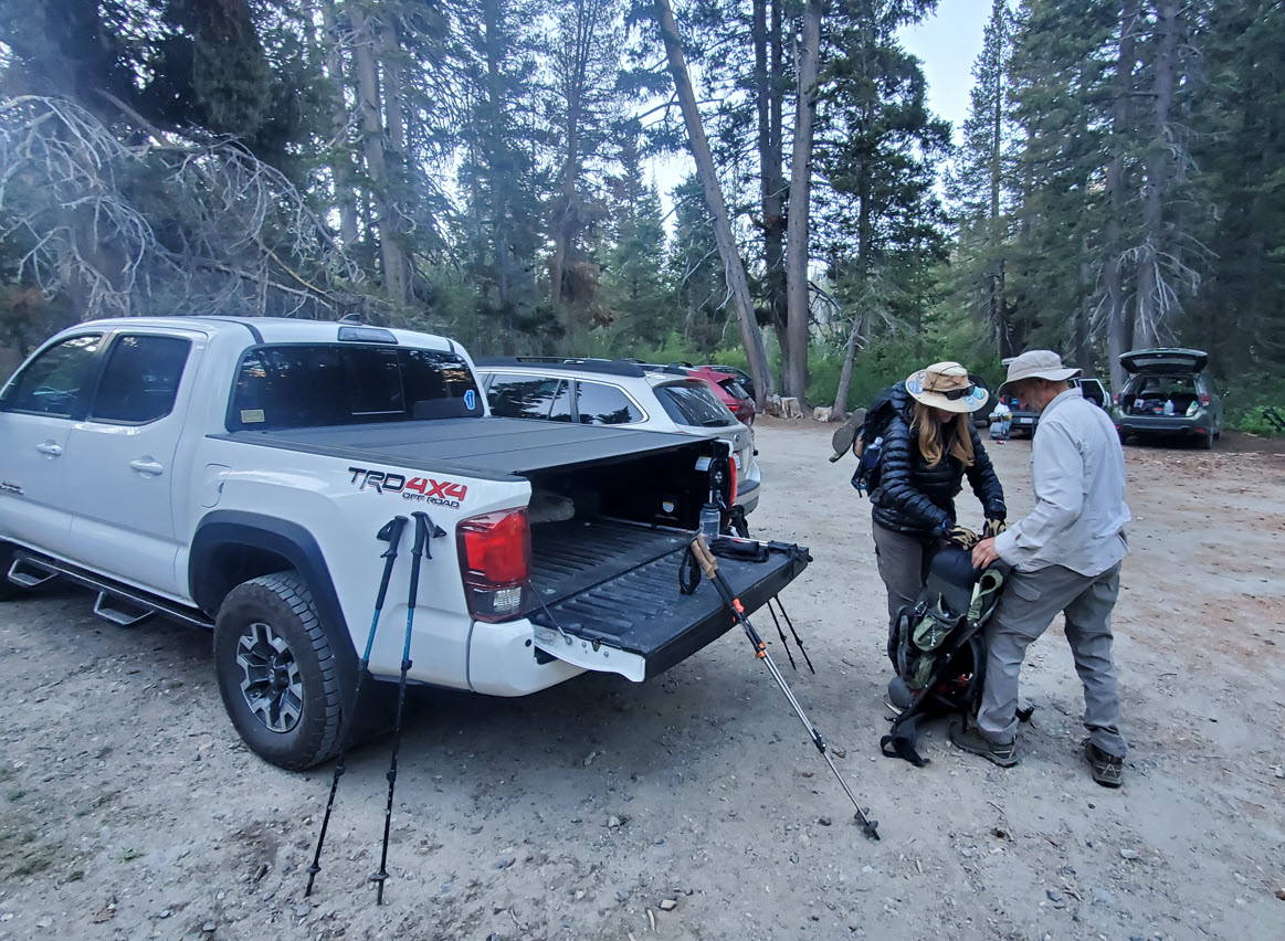
Our group getting ready to head out from the Agnew Meadow trailhead.
|
 |
|
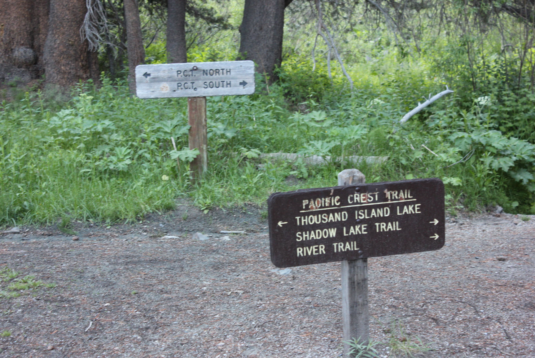
These
are the trail markers you want to look for to start along the
hike. Make sure to west onto the River Trail.
|
 |
|
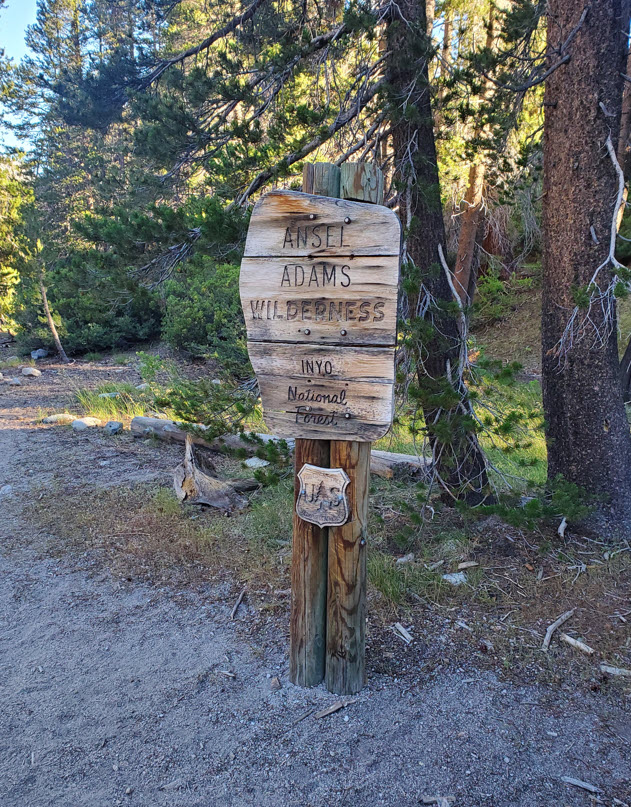
Less
than a mile up the River Trail you will pass into the Ansel
Adams Wilderness area. Don't forget on the way back that you have
dropped a significant amount of elevation gain as the opposite will
face you over the last two miles on your return trip.
|
 |
|
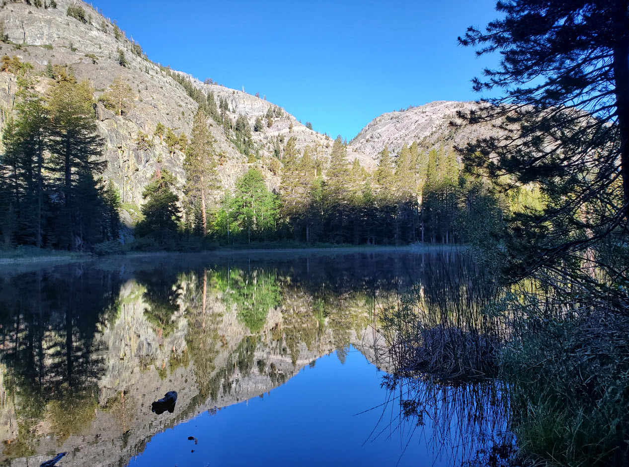
As you drop down
into the valley your first lake will be Lake Olaine. It was a very scenic start
early in the morning with mist rising off the lake and undisturbed reflections of the mountains
ahead.
|
 |
|
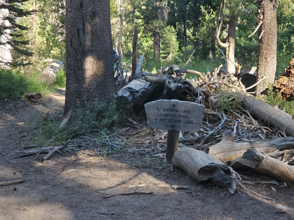
Keep left at this junction so that you don't continue
up the River Trail and inadvertently end up too far north at 1000 Island Lake. This will be the start of a significant
climb that will be easier the earlier in the day you can attempt it.
|
 |
|
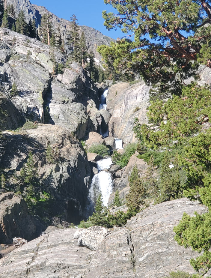
As the trail climbs you will be paralleling the Shadow Lake outlet stream/waterfall for
much of the effort.
|
 |
|
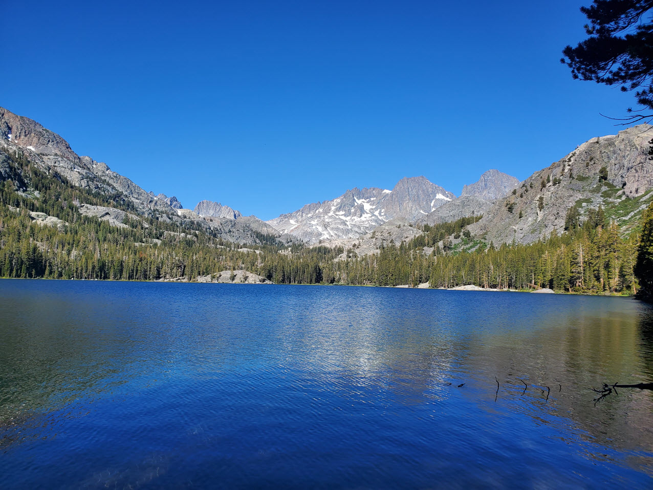
About halfway to Lake Ediza is the picturesque Shadow Lake. This is a good spot for
a break and possibly a quick dip, but there is no camping allowed anywhere around this lake.
|
 |
|
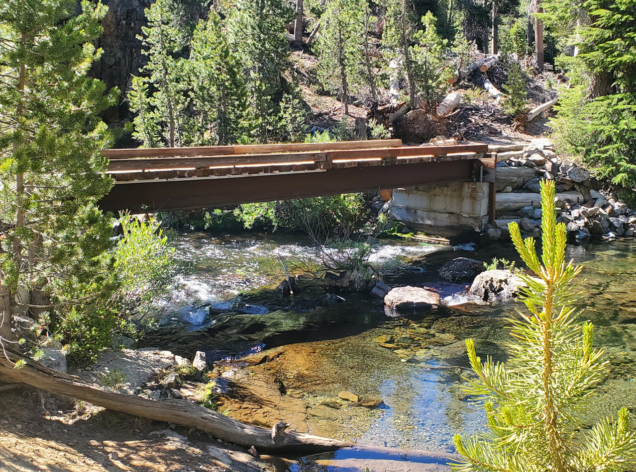
Just past
the lake there is a junction with the John Muir Trail (JMT.) This
surprisingly substantial bridge is to the south, and we will head the
opposite direction for a relatively short stint along the JMT.
|
 |
|
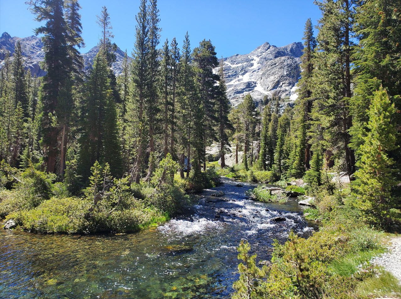
After leaving the JMT the trail toward Lake Ediza follows the outflow from the lake,
becoming more and more enticing with hints of the views ahead as you progress closer to the destination.
|
|
|
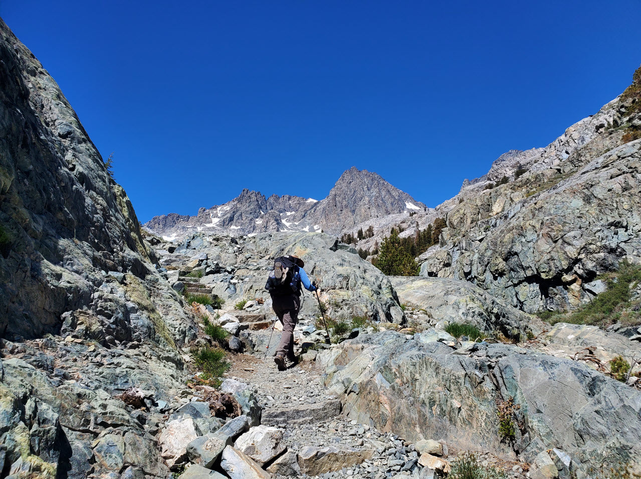
After crossing the river via some well-placed logs, there is a last climb up to the
lake that has a spectacular reward as the end.
|
 |
|
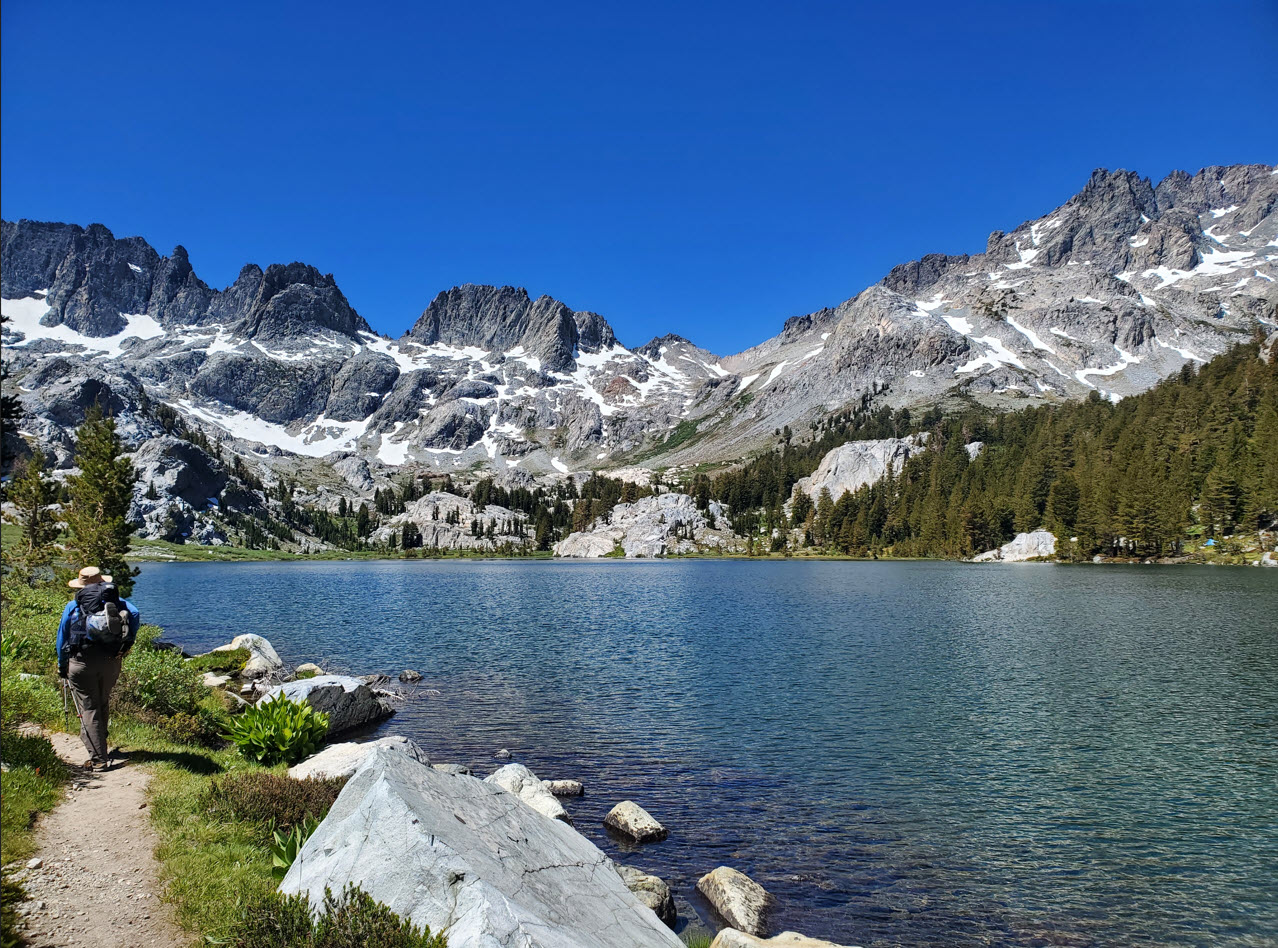
It's hard
to imagine a more spectacular location than the Lake Ediza area.
Everywhere you look is just filled will jaw-dropping scenery all around.
|
 |
|
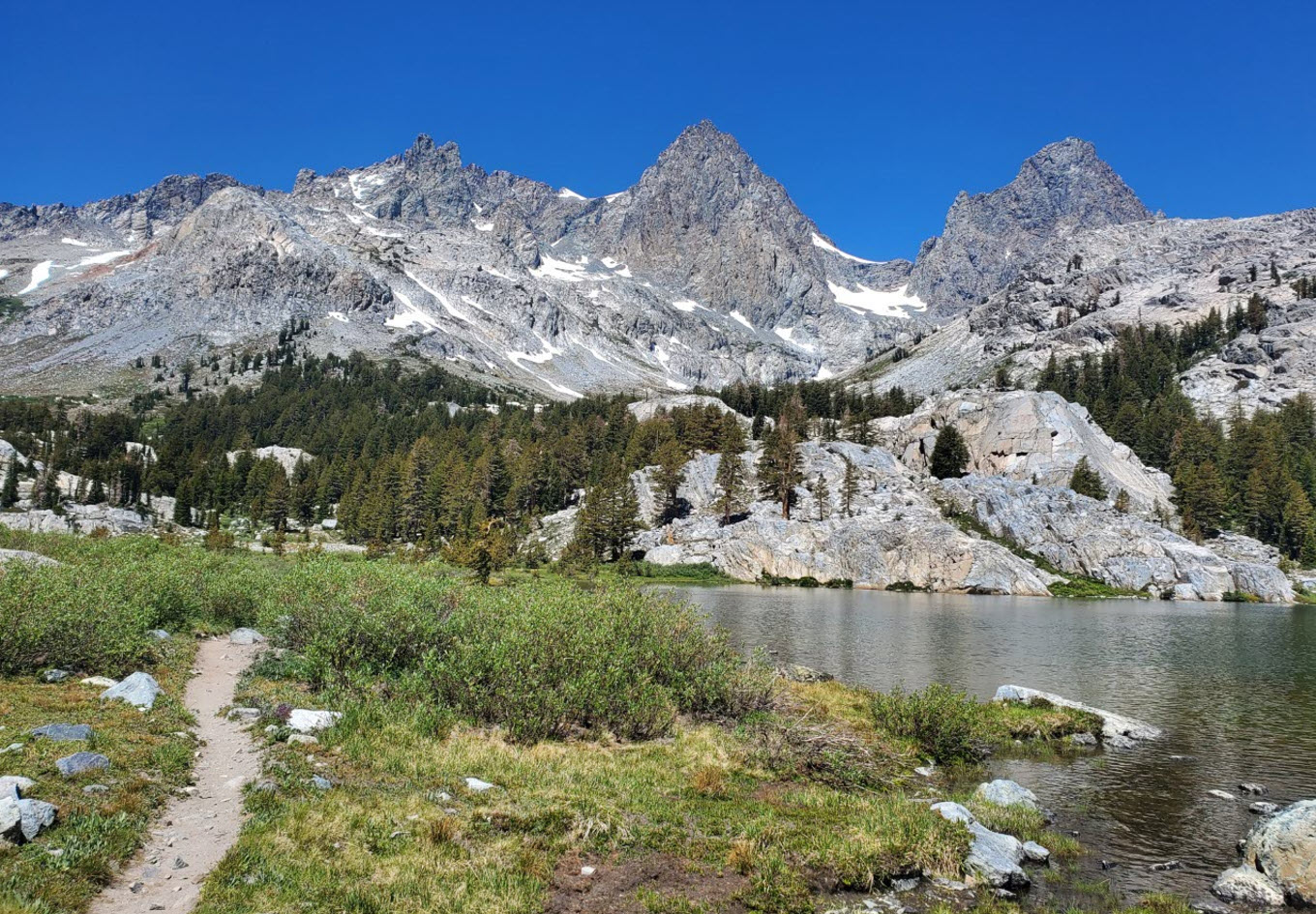
A look at
the trail headed toward the campsite area to the west of Lake Ediza
with Mt. Ritter and Mt. Banner towering high above.
|
 |
|
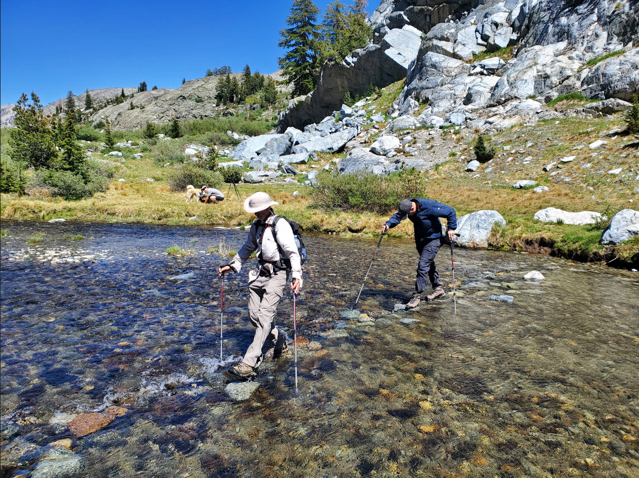
There is
one significant water crossing to reach the campsite, which was flowing
very well even in the middle of July this low-water season.
|
 |
|
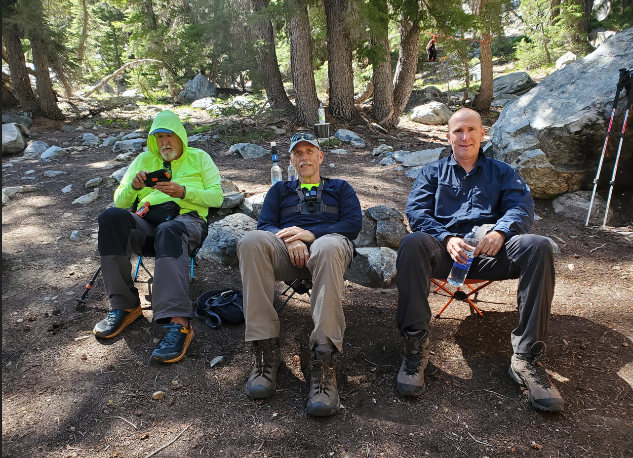
It didn't
take long to drop our packs and get the campsite set up before we
decided to venture out out to Iceberg Lake later that afternoon.
|
 |
|
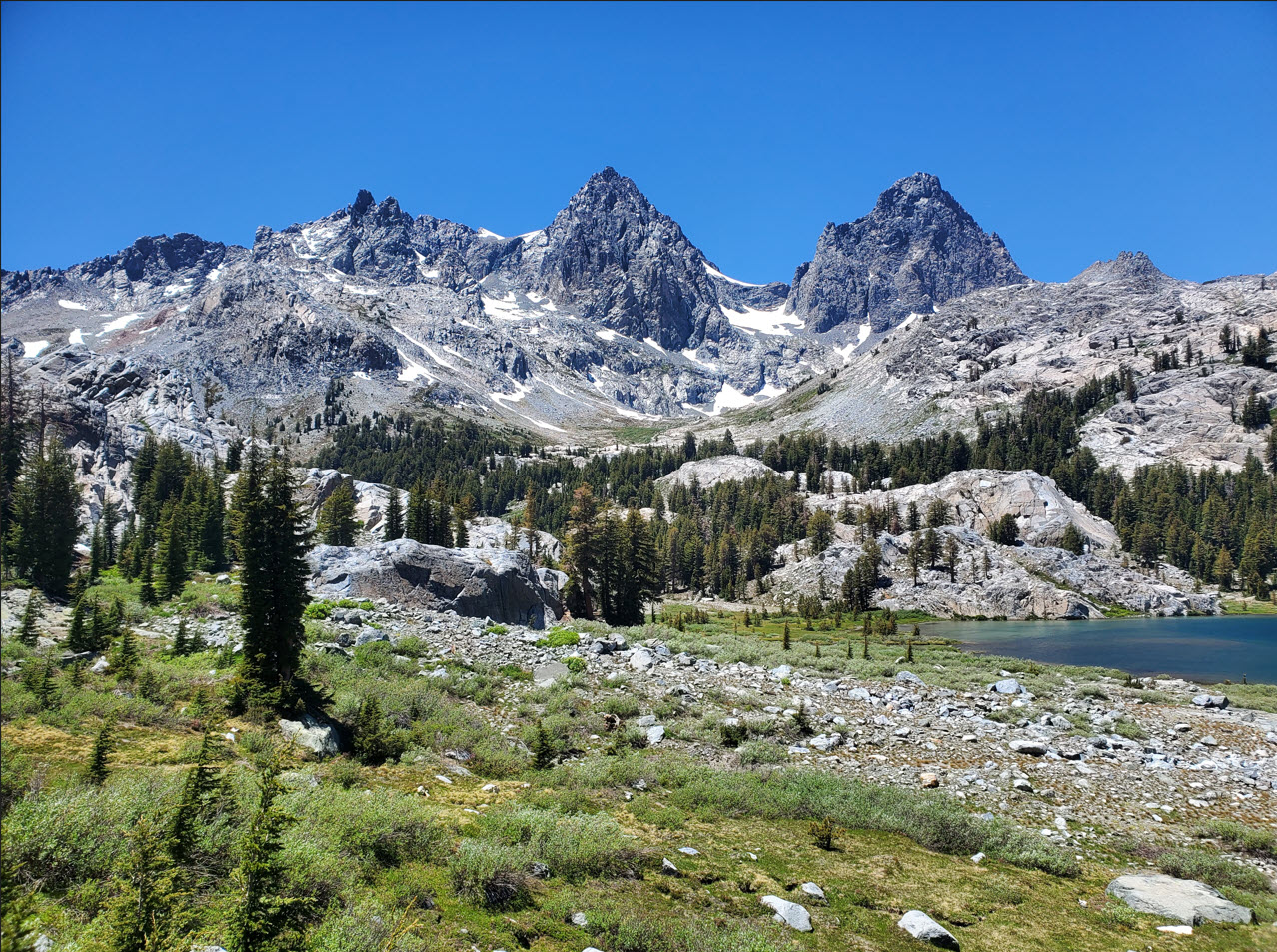
As we
headed up to Iceberg Lake from Ediza we were able to look back and
fully appreciate the spectacular location of our campsite beneath the
Ritter and Banner peaks.
|
 |
|
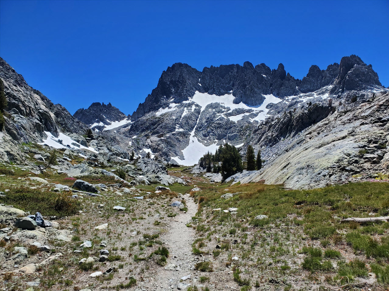
It's a
good climb up to Iceberg Lake, but the sight of the Minarets so close
and the vibrant flowers all along the way (as well as no heavy
backpack) really made the trek that much more enjoyable.
|
 |
|
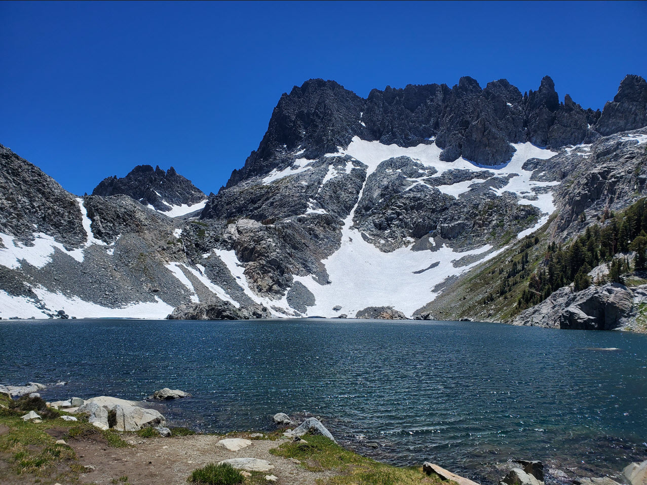
Iceberg
Lake is another stunning location in this area. The next lake up,
Cecile (formerly Upper Iceberg Lake) is just above this one past the
notch in the left half of the ridge behind this lake. Unfortunately the
trail is hazardous this time of the year with snow making it even more
sketchy.
|
 |
|
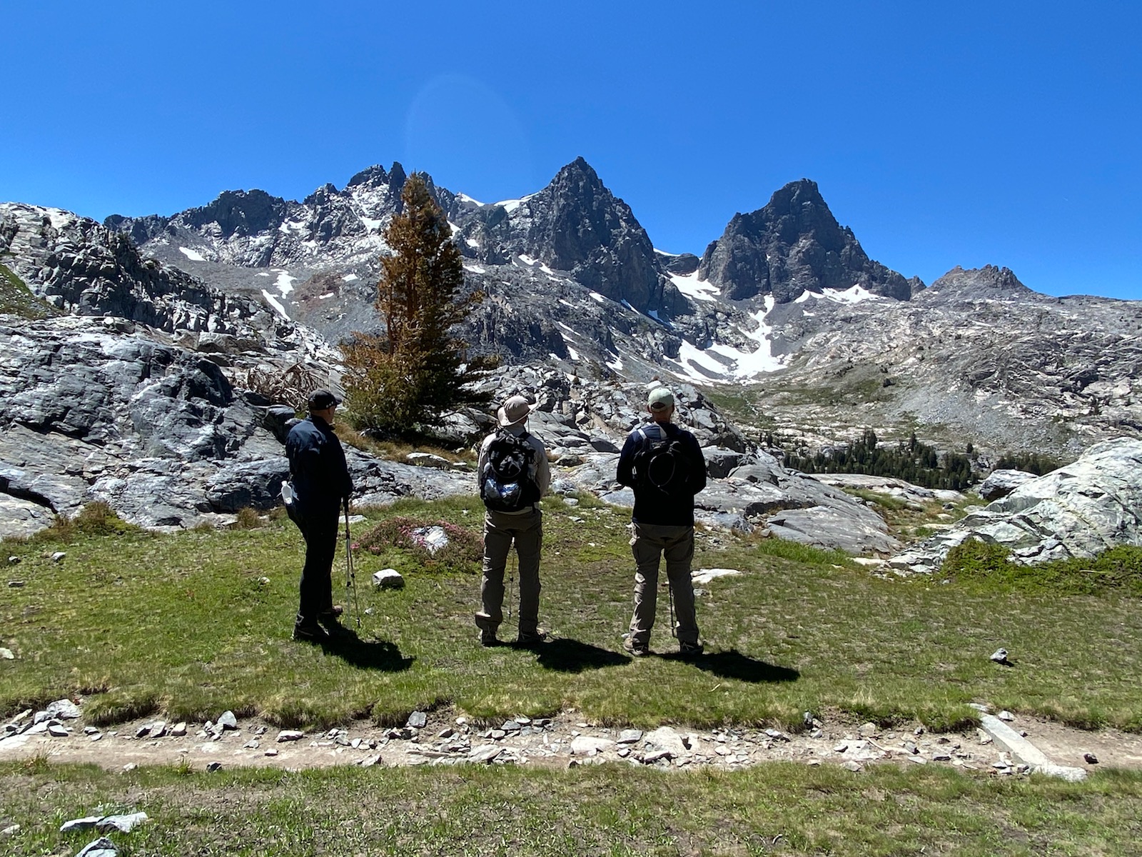
On the way back down we couldn't help but stop to admire the almost surreal location we were surrounded by.
|
 |
|
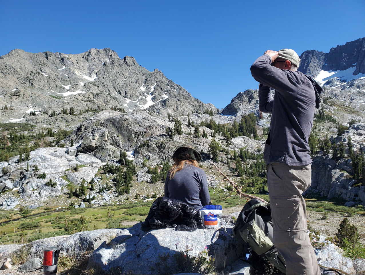
Back at
camp we were able to climb up a little bit above our tent locations and
find a memorable location for dinner that evening.
|
 |
|
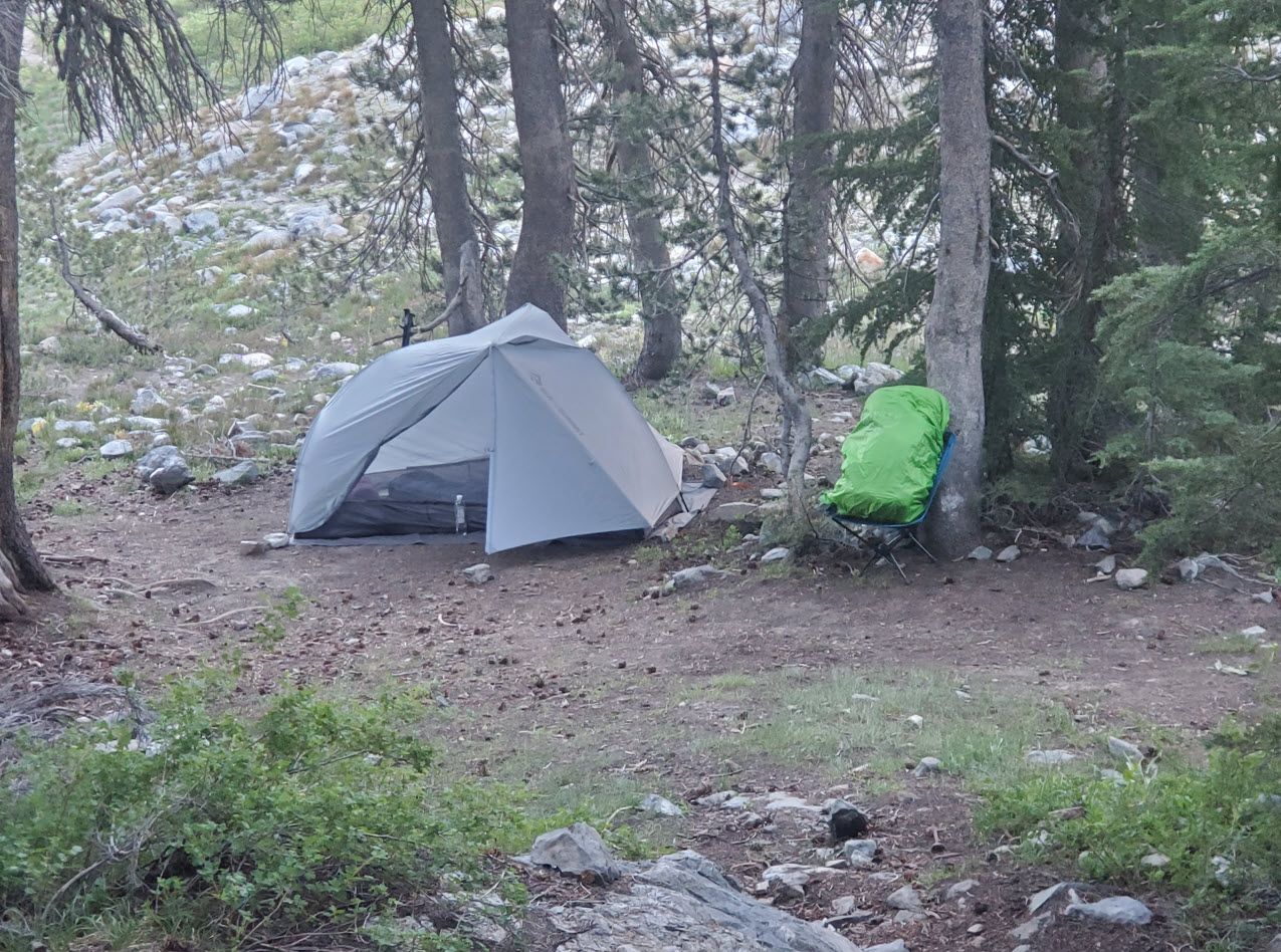
My camping spot with a nice overlook of Lake Ediza.
|
 |
|
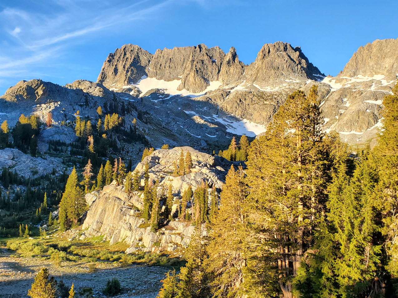
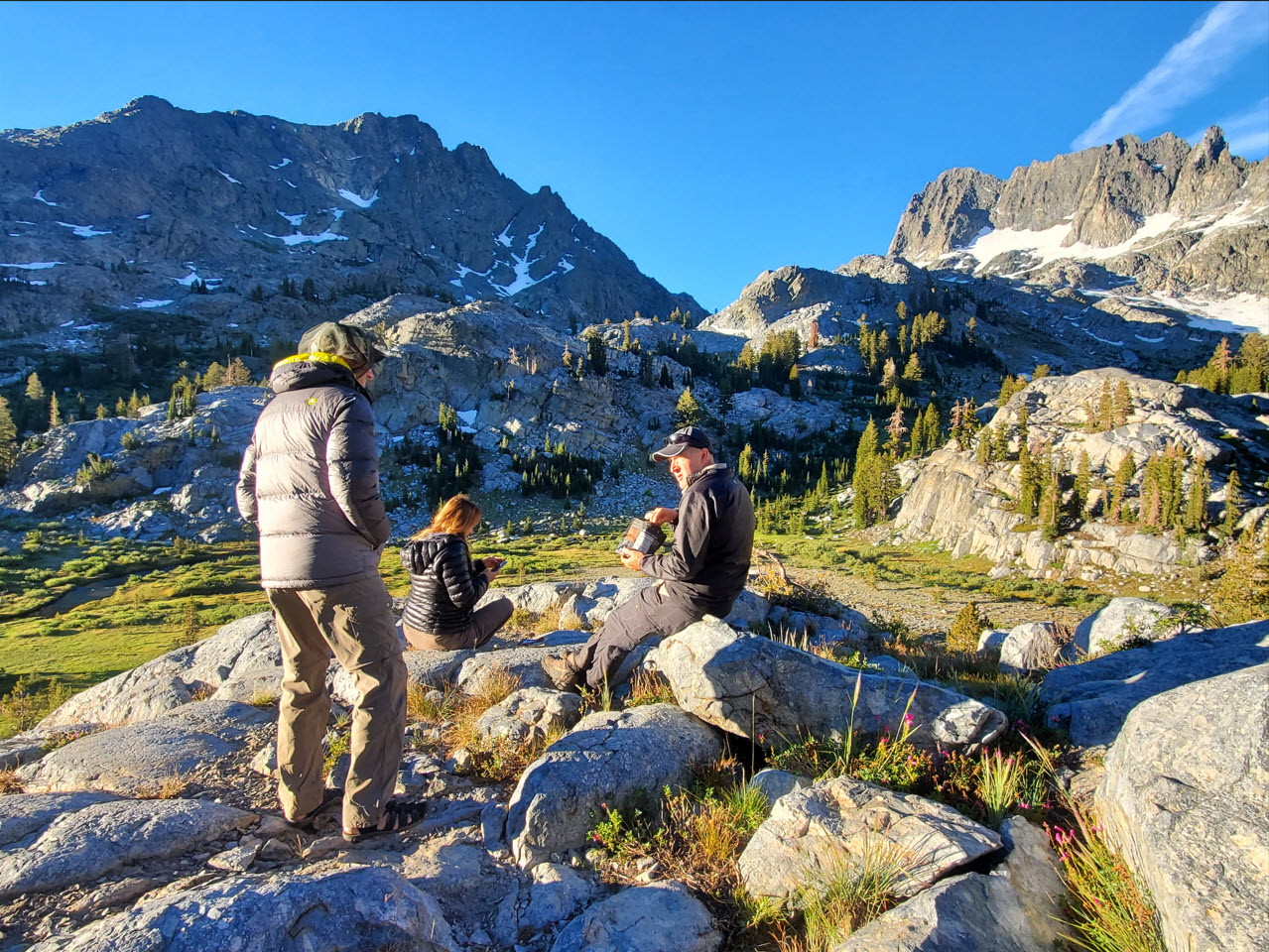
We
enjoyed the same spot for breakfast the next morning as we had for
dinner the night before, and the light show in the early morning was
one for the ages.
|
 |
|
Breakfast
was even better with this view of the Minarets and the trail that we
had climbed the previous day on our way to visit Iceberg Lake.
|
 |
|
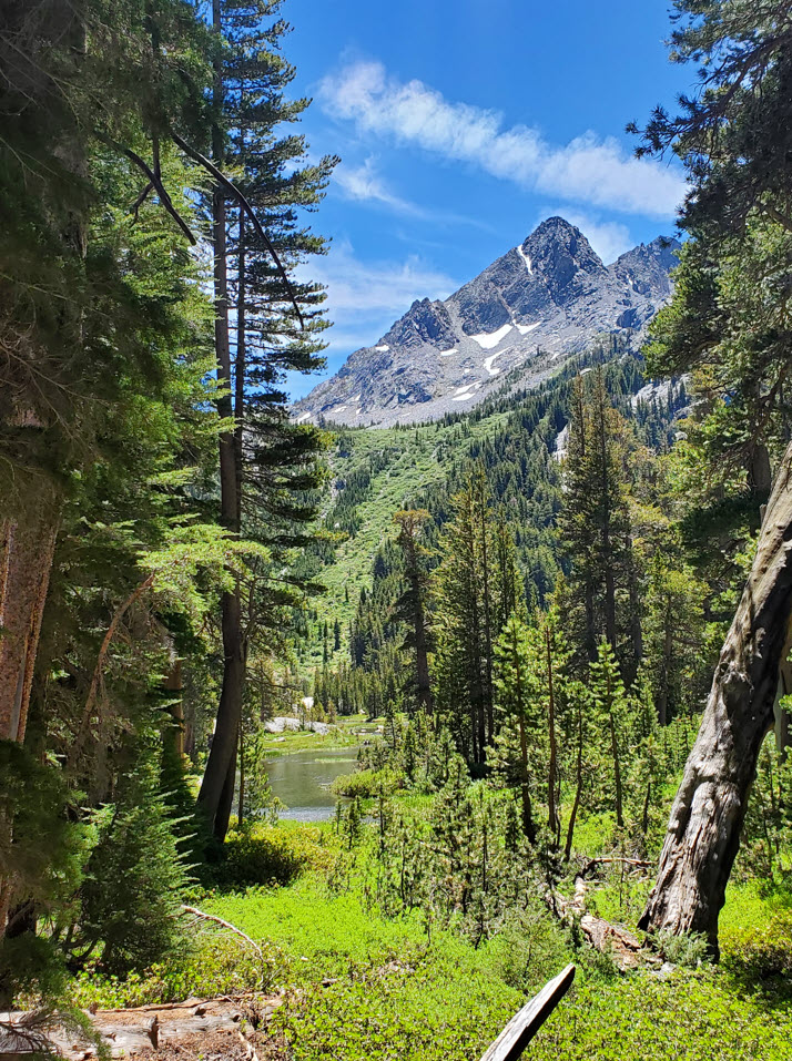
The trip
out was much easier than the climb in the day before, except for the
last mile and a half that was upward out of the canyon toward Agnew
Meadow.
|
 |
|
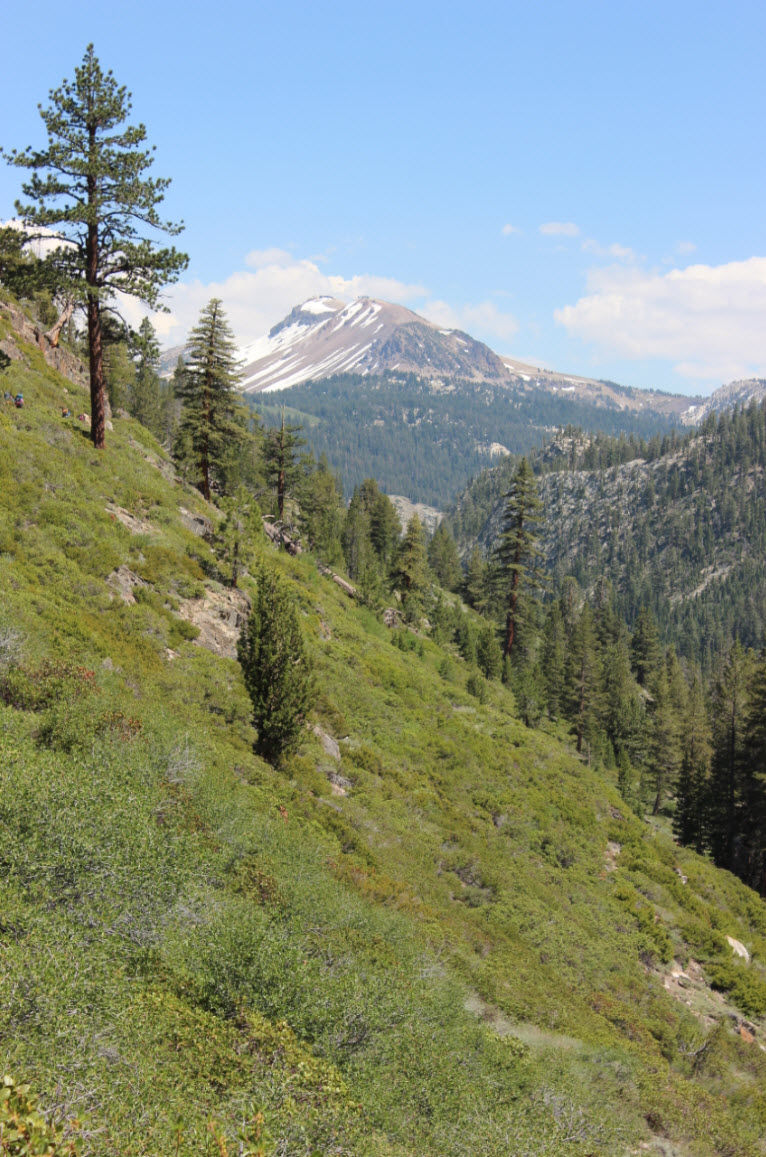
The
last mile or so sees the trail climb 300' from the river valley up to
Agnew Meadows once again, but the views of Mammoth Mountain in the
distance were enough of a distraction to keep the pace going.
|
 |
|
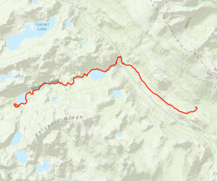
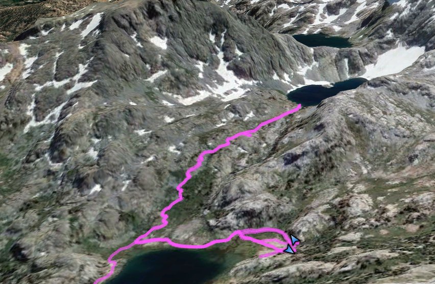
GPX track of the hike from Agnew Meadow on the lower right to Lake Ediza on the upper left.
|
 |
|
GPX track of the hike from Lake Ediza up to Iceberg Lake.
|
 |


 See
video of hike
 GPX
for
Lake Ediza
 GPX
for
Iceberg Lake


