Distance: 11.2 Miles
Vertical Gain: 2600'
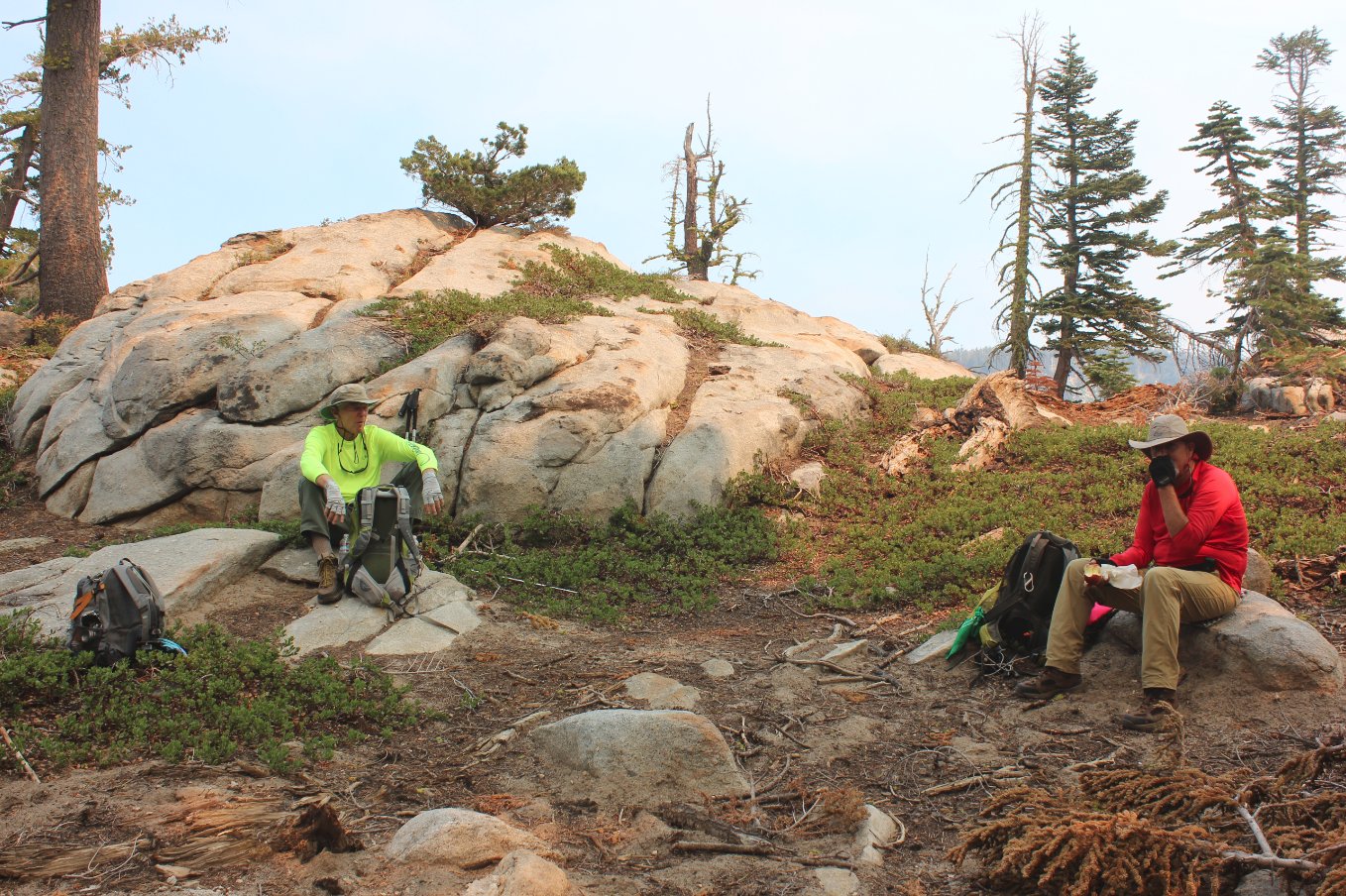
Group Size: 3
Hike Rating: Easy Moderate Hard Strenuous
 See
video of hike
See
video of hike  GPX
for
this trip
GPX
for
this trip 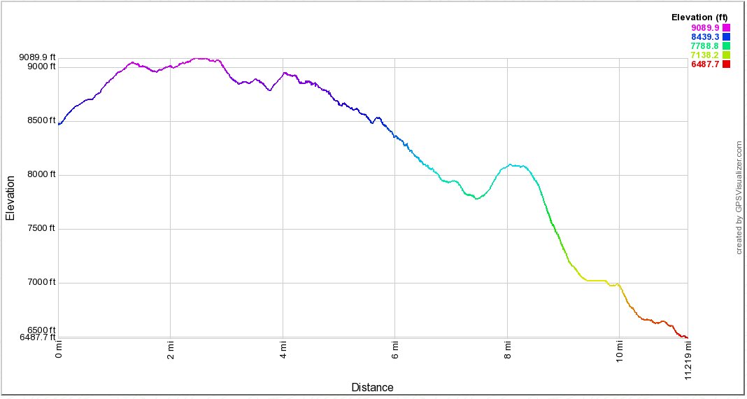
| Start Coordinates: | N 38 43.538, W 120 02.843 | End Coordinates: | N 38 48.228, W 120 07.050 | ||
| Car Shuttle Req'd: | Yes | Parking Directions: | Take
Highway 88 to the turnoff to Schneider Cow Camp Rd on the north side of
the road signed "Caples Lake Maintenance Station.
Pass the
Caltrans buildings on your right and turn right onto Strawberry Creek
Rd. Continue on this rough, dirt road to the coordinates
where
there is parking for a few vehicles on your right. For the end of the hike parking location, take Highway 50 to the parking area at the coordinates provided which are just across the highway from Camp Sacramento. If Camp Sacramento is open, you can drive up the access road and park in a designated area just across the bridge on your left. |
||
| Hazards of Note: | Once
you turn off of the trail around Little Round Top to head north, this
is a mostly unknown route which may require good route-finding skills
for areas of this hike. Stay on the ridgeline and don't be
tempted by a couple of side trails which head to the west toward
Strawberry Canyon 4WD trail. |
Crowd Factor: | Negligible
for the ridgeline between the start and end of the hike.
Moderate
for around Little Round Top and potentially high for around Lover's
Leap. |
||
| General
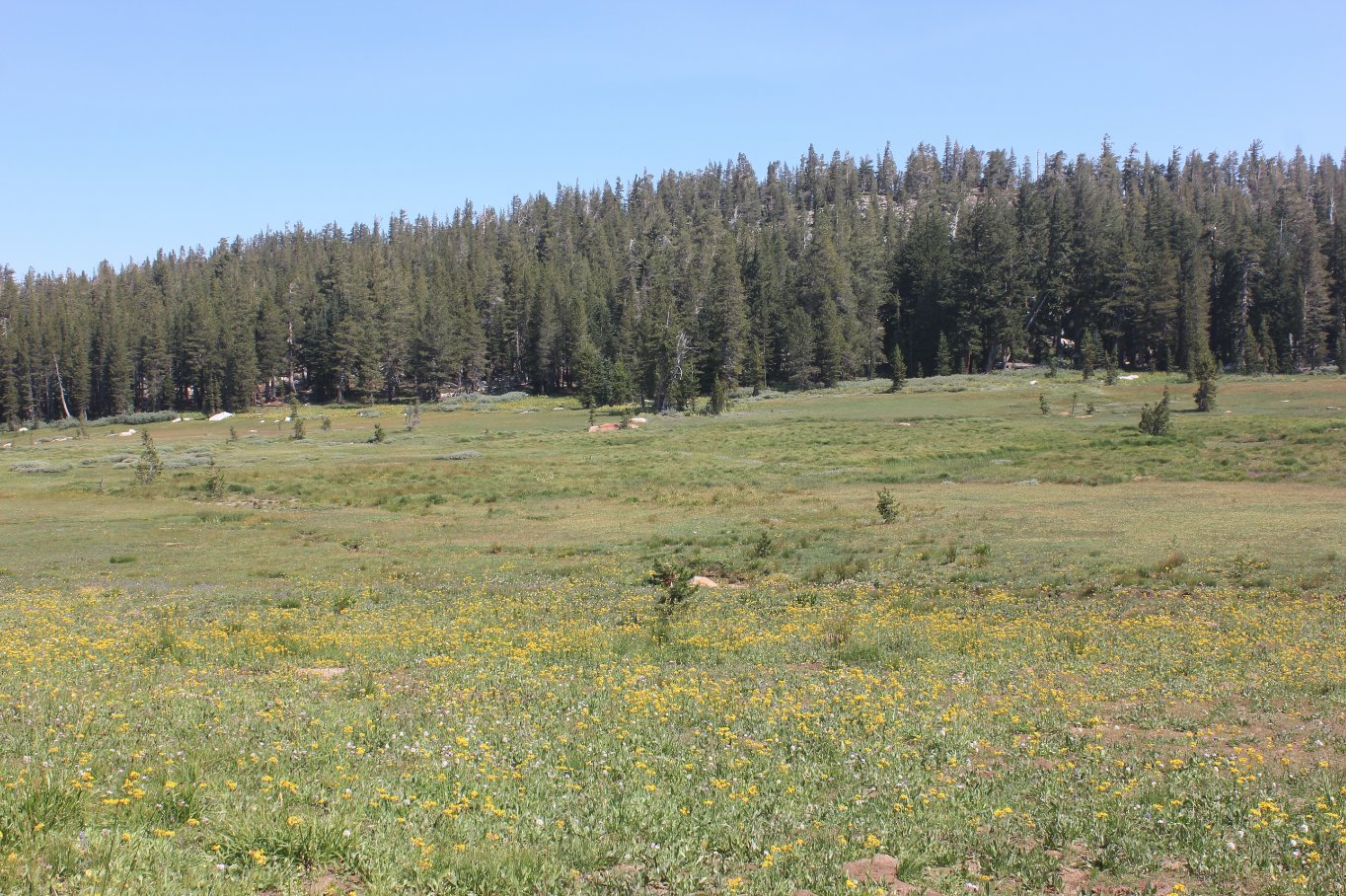
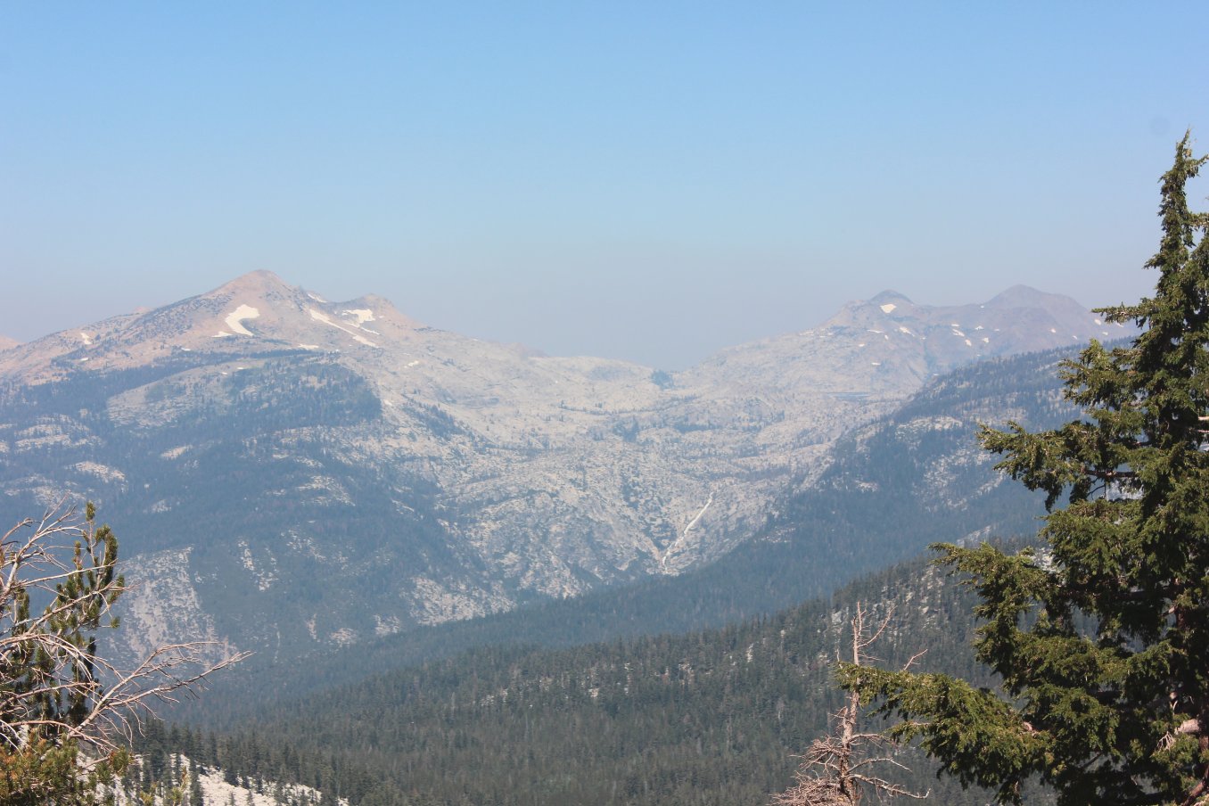
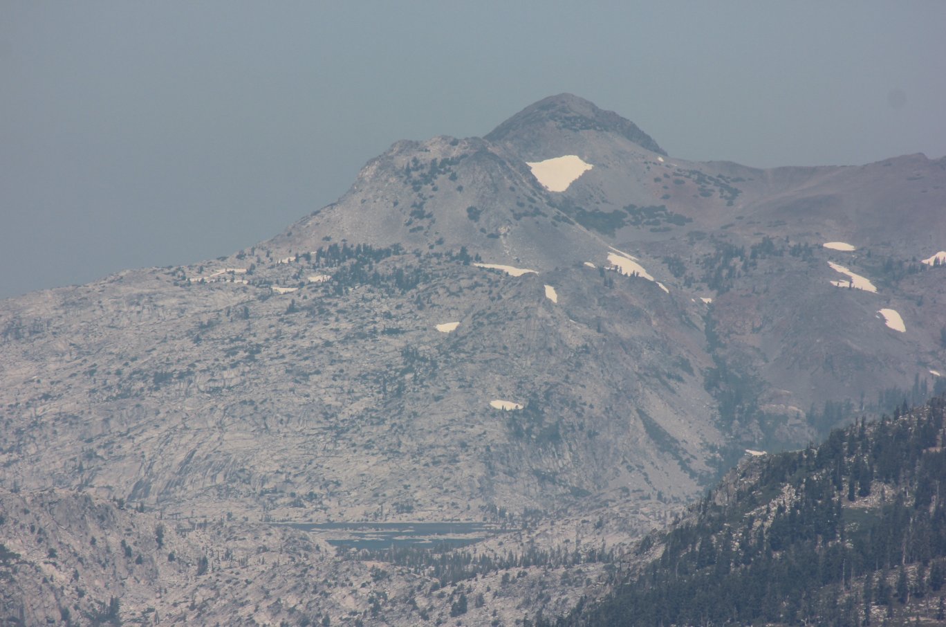
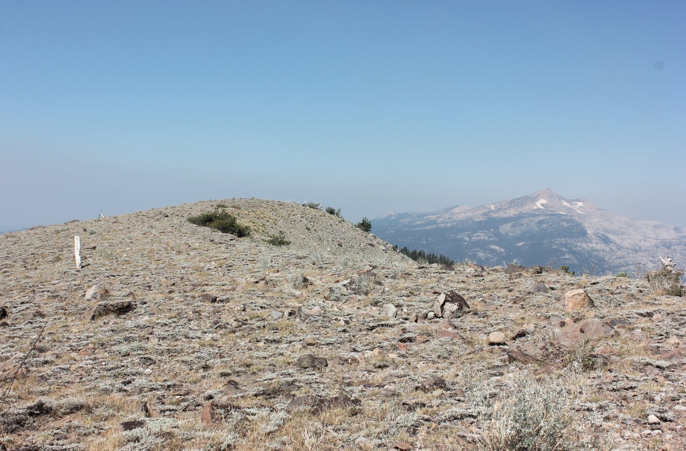
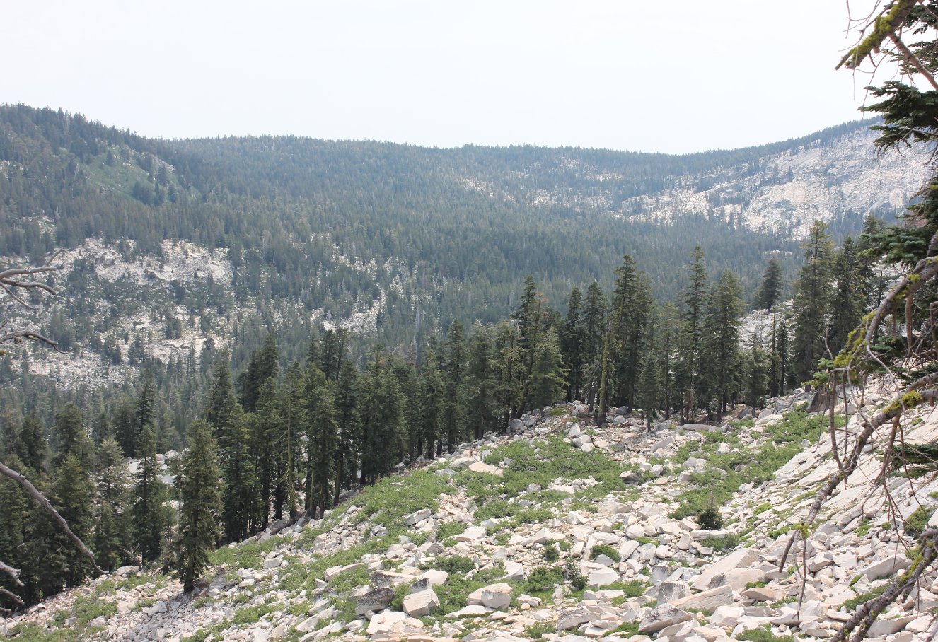
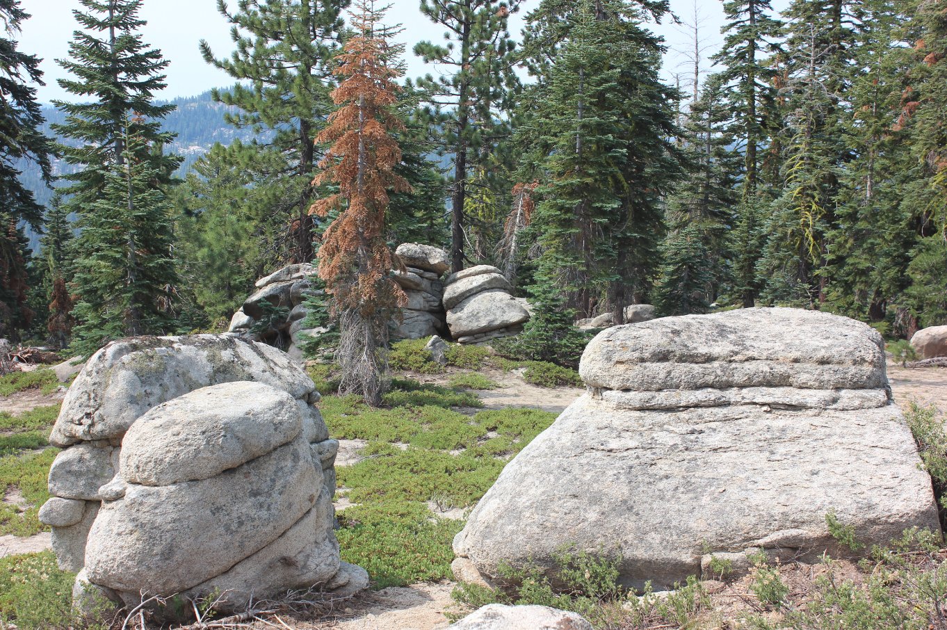
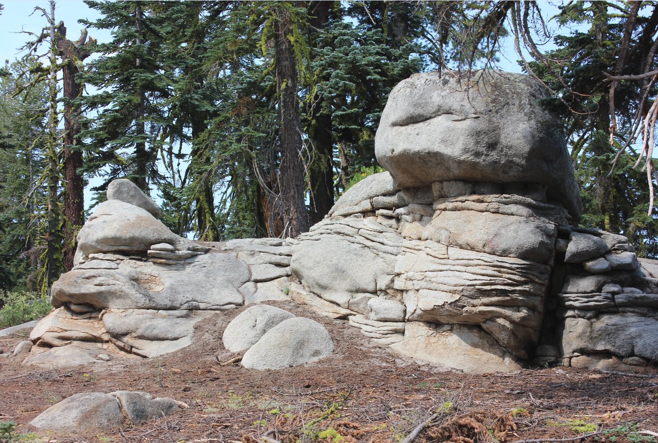
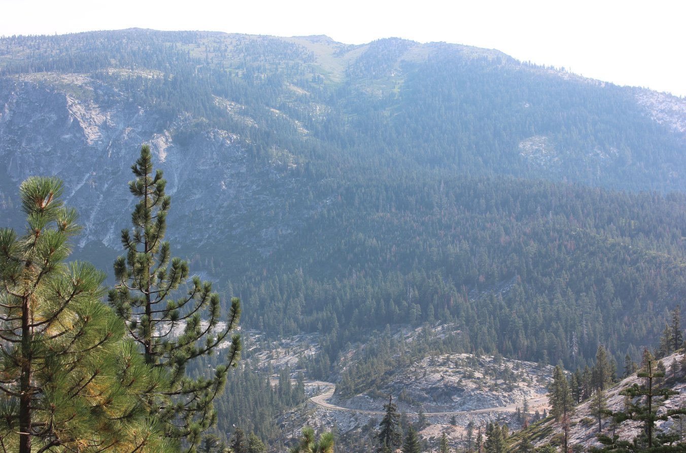
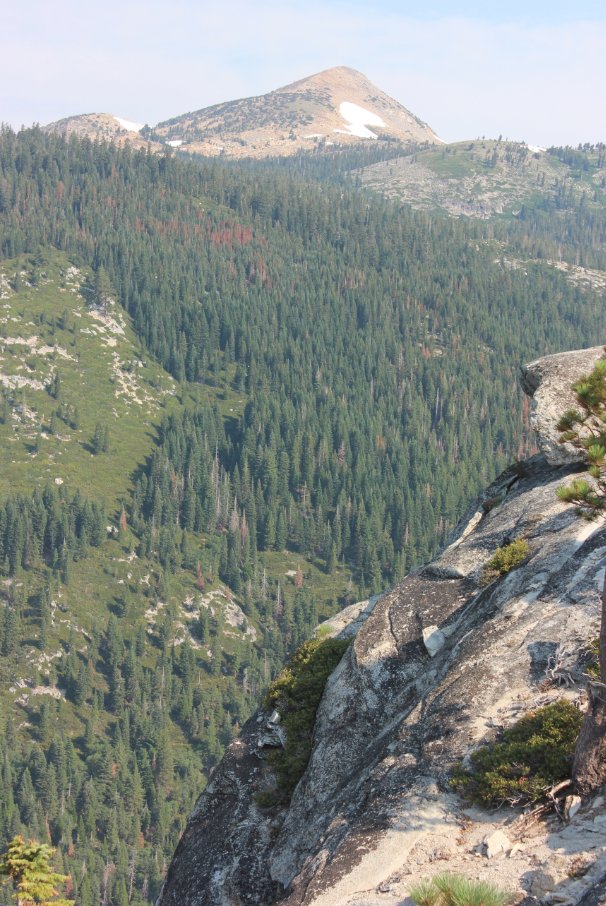
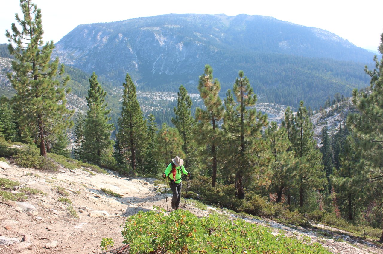
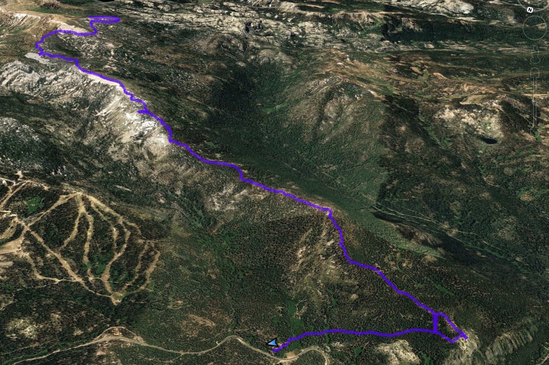
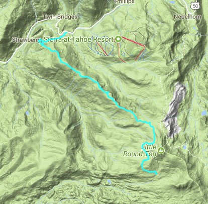
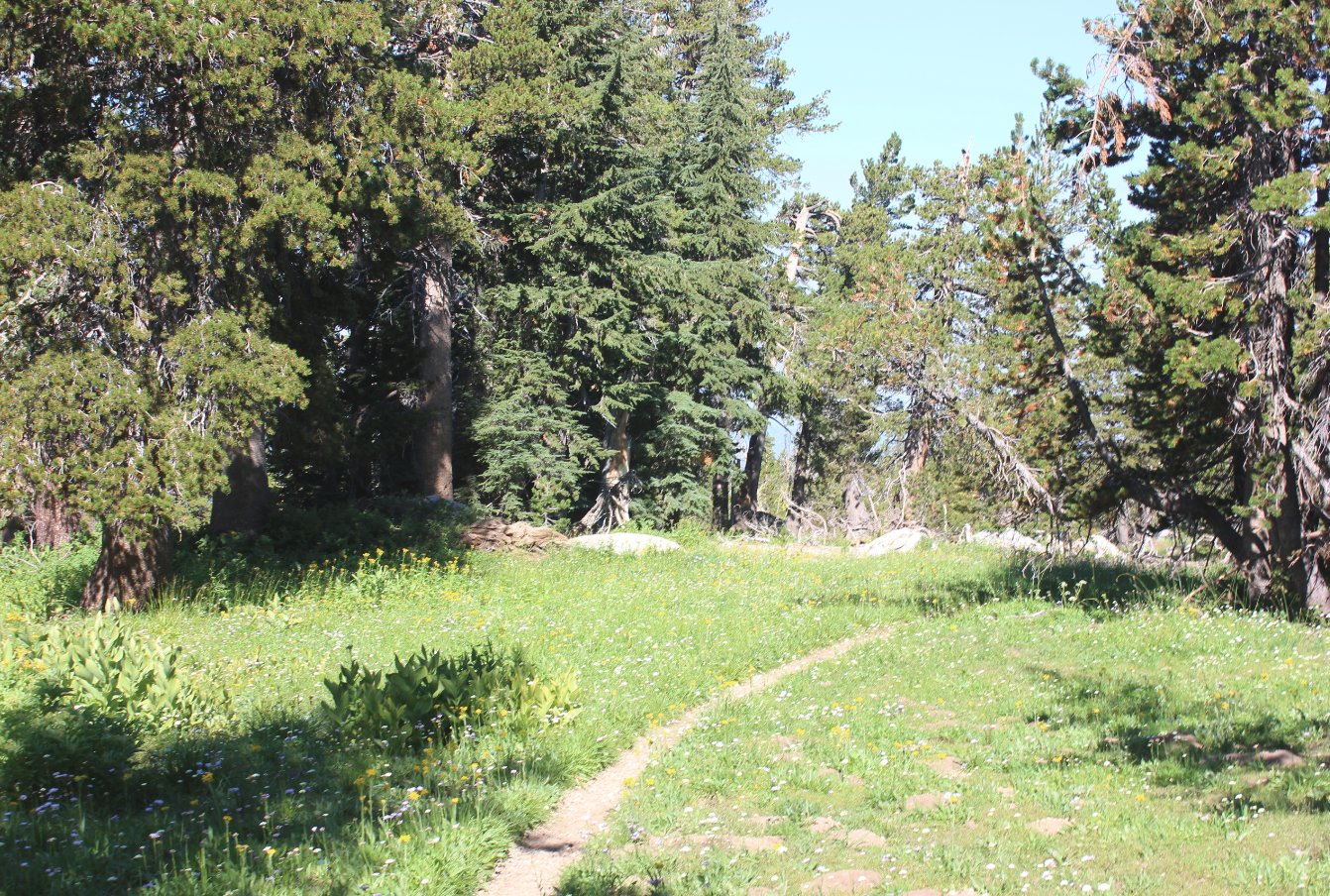
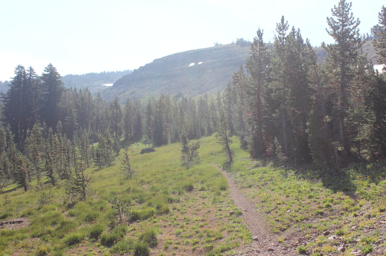
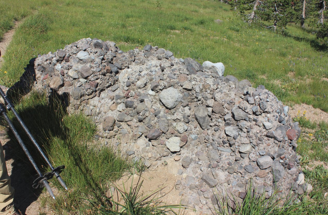
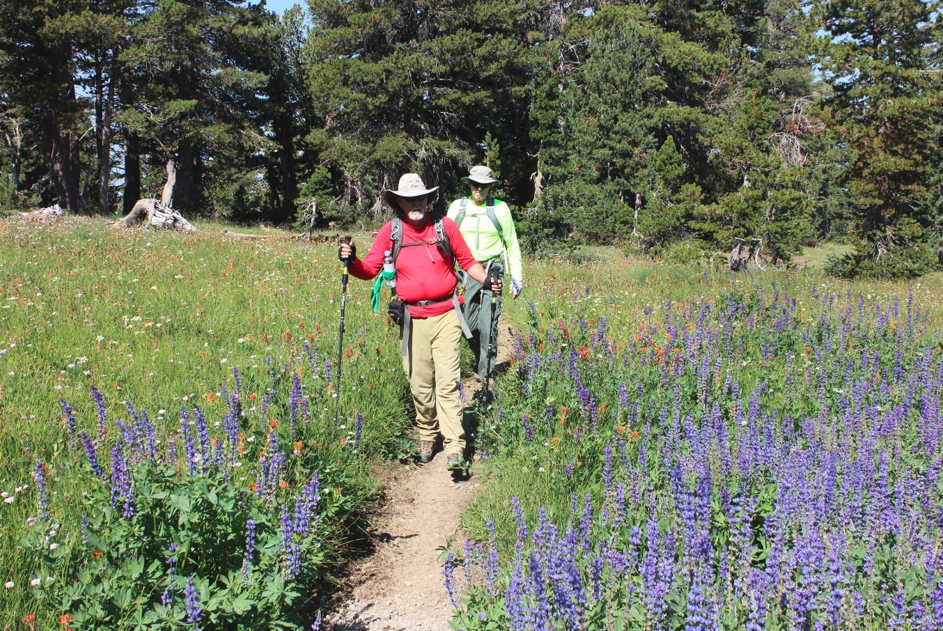
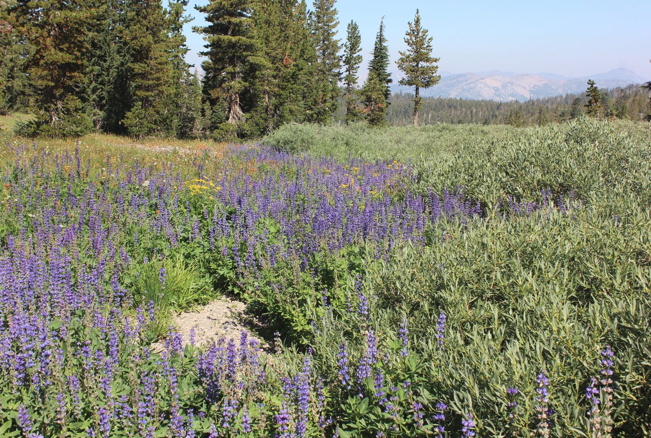
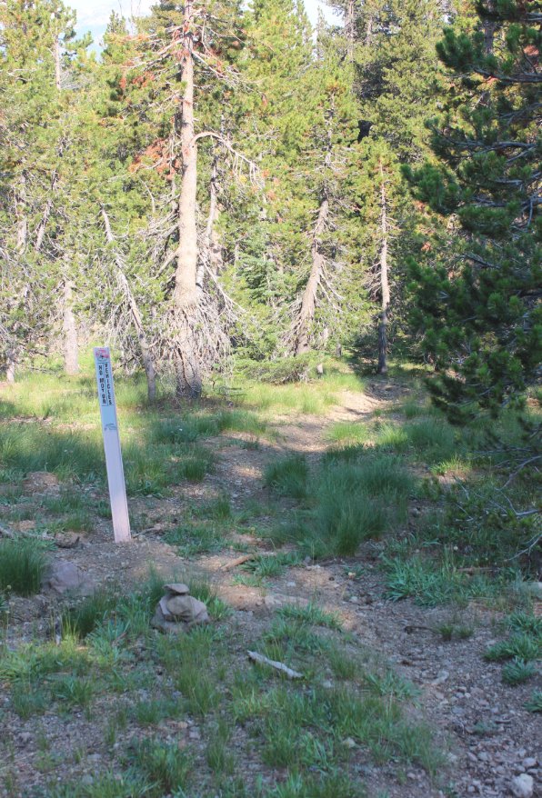
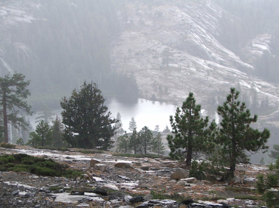
Notes: Technically this trail can be hiked in either direction, but the first mile and a half along the ridgeline past Lover's Leap gains so much elevation so quickly that the recommendation is to hike south to north (from Little Round Top to Lover's Leap.) Head up past Schneider Cow Camp as far as you can get, until the road becomes too rugged and washed out for a larger vehicle to negotiate. The start of the trail which spurs off this road is the Little Round Top Trail, which immediately begins a gradual uphill climb which will top out at just over 400 feet in elevation over the first mile. This trail takes you around the back side (north side) of Little Round Top, passing through forest with a few good views back toward Carson Pass and Kirkwood. Behind Little Round Top you will see the gentle slope to the top which defines the south and west areas of the peak is no longer active, with high cliffs above the trail being what would challenge access to the top from this side. A couple miles into this route, before you hit the junction with the Pacific Crest Trail (PCT,) there is a use trail off to the north side which is not signed but does have a marker indicating "No Motorized Vehicles" past this point. This is the trail which you will turn off onto, and for much of the way to Lover's Leap the trail is relatively well defined for something which is on very few maps. However, it is easy to lose the trail at the meadow a half mile further on, so just make sure to stay as high on the ridgeline as possible in this location to avoid dropping down into the canyons on either side of this ridge. 5 miles into the hike you will emerge from the forest, with spectacular views all around as you traverse a large, open area for another mile. There are old fenceposts laying on the ground in this area, with barbed wire still attached. The trail continues on and gradually drops back in forested areas, with some amazing granite rock formations along the way. The last mile before you reach Lover's Leap is an extremely steep slope down, as you drop over 1100' in this mile. Once you reach Lover's Leap you head down the trail to the east, finishing up at the parking area at Camp Sacramento (or across the road at the Mt. Ralston parking area.) |
|||||