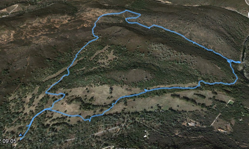
Distance: 5.0 Miles
Vertical Gain: 700'
Group Size: 1
Hike Rating: Easy Moderate Hard Strenuous
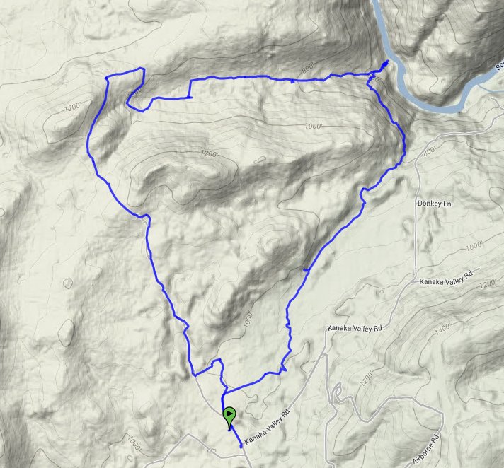
 GPX for
this trip
GPX for
this trip

| Start Coordinates: | N 38 44.797, W 121 01.309 | End Coordinates: | Same as start coordinates | ||
| Car Shuttle Req'd: | No | Parking Directions: | Take Green Valley Road to the Deer Valley road turnoff in El Dorado Hills. Go north on Deer Valley road for a couple of miles until you reach the intersection off to the left of Kanaka Valley Road. Take Kanaka Valley road for a couple of miles to the parking area on the west side right before a 90 degree bend in the road. | ||
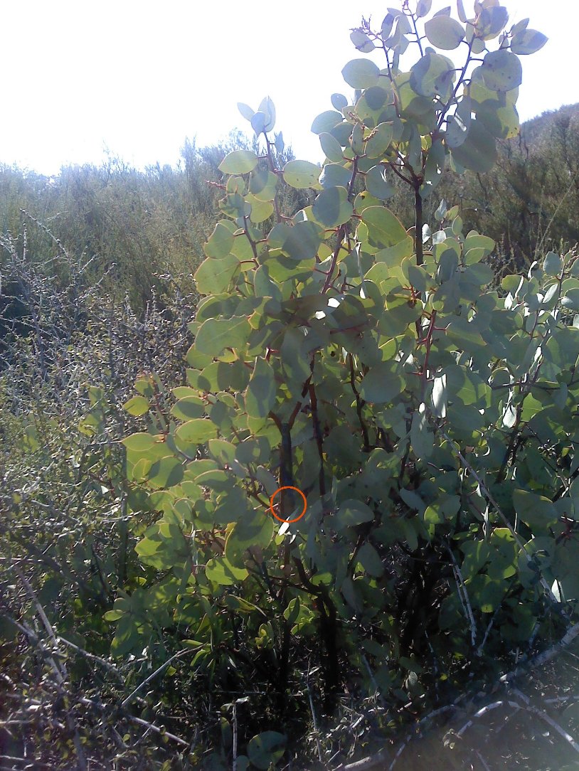
| Hazards of Note: | Rattlesnakes, ticks, mountain lions. | Crowd Factor: | Negligible. There are very few people who are in the Kanaka Valley Preserve at any time, especially in the summer. | ||
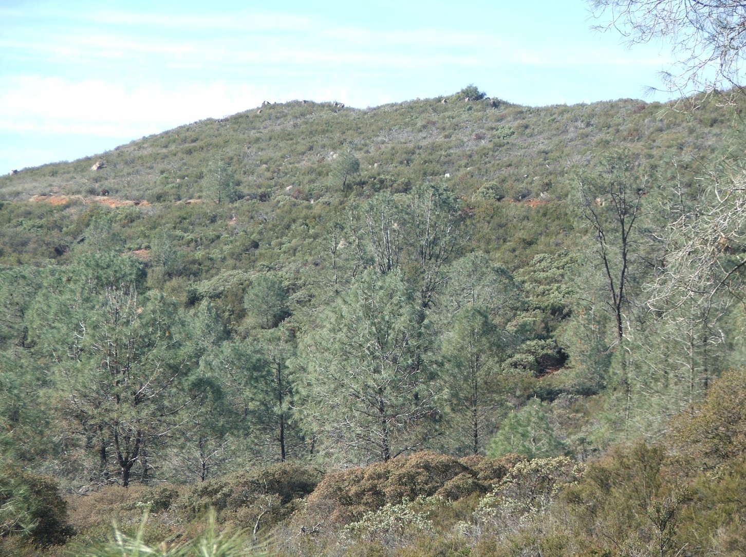
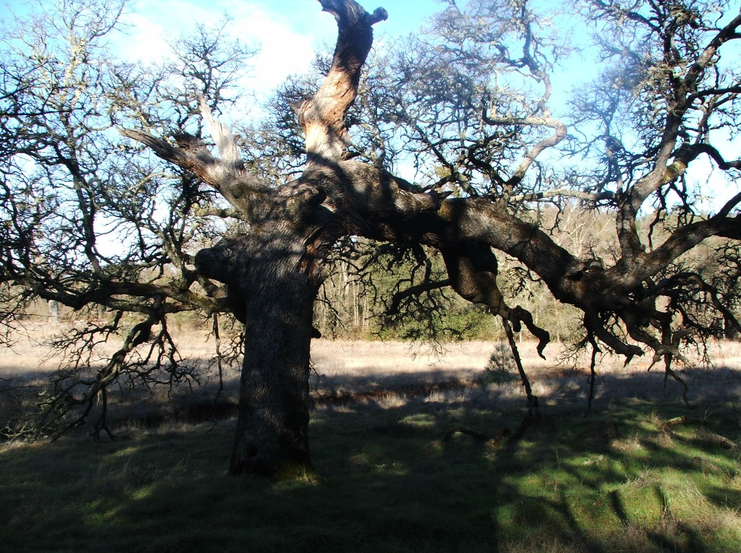
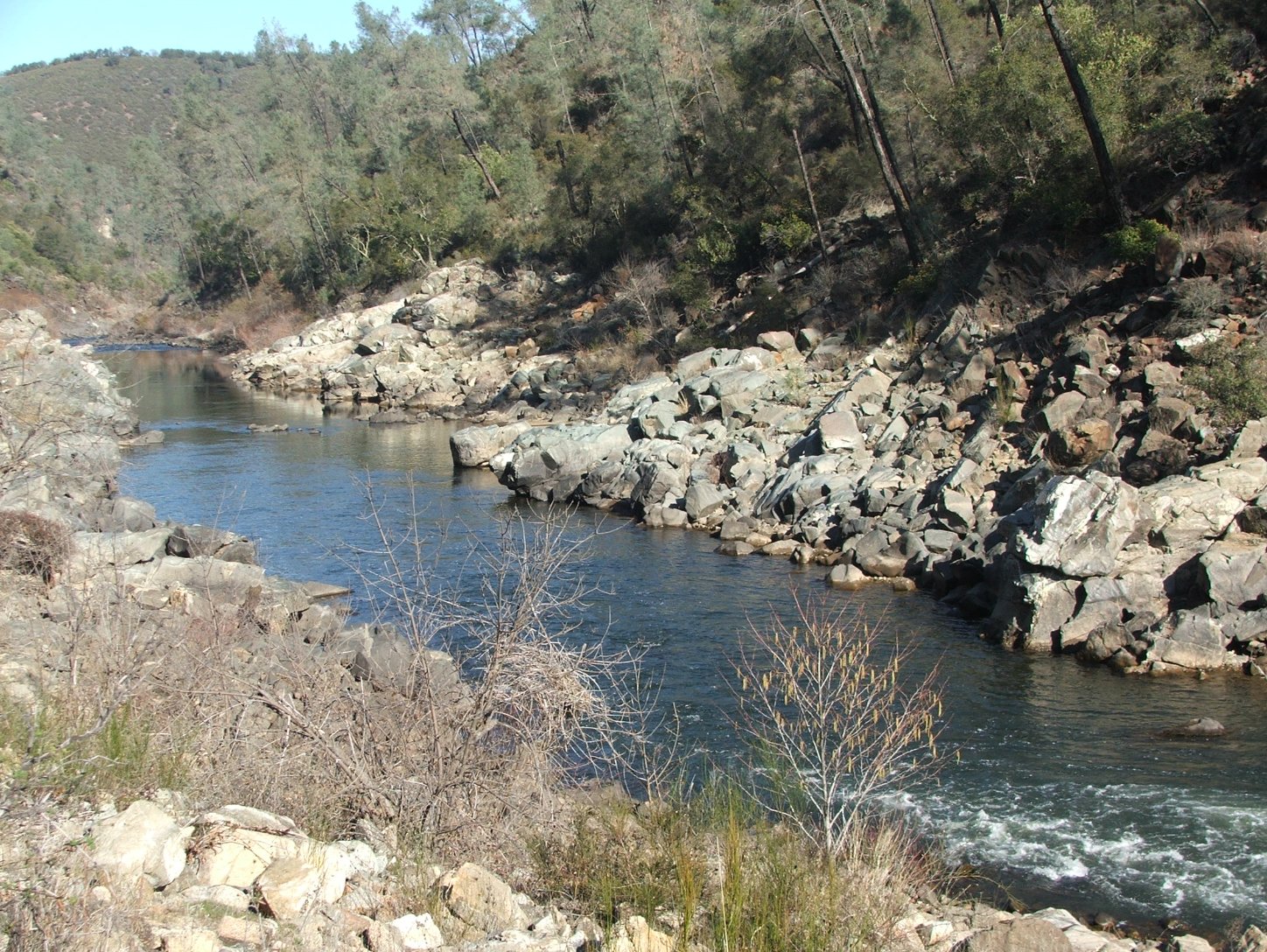
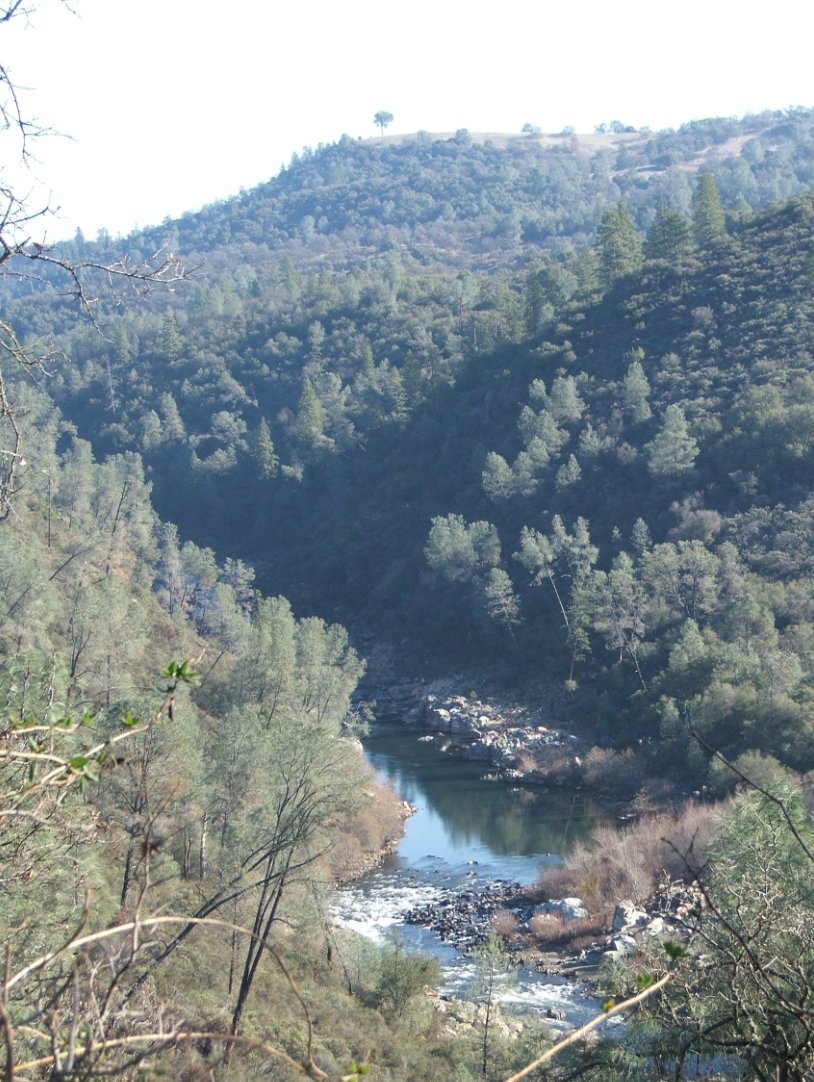
| General Notes: There are many paths through Kanaka Valley, and the beginning of this one follows mostly along the eastern edge of the preserve. There was no clear path to get down to the South Fork from this location, but there possibly are animal trails which can get you through the heavy brush easier. Once the water is reached, there are trails all the way back out to the parking area to complete a circular hike. |
|||||