Back to index Hunter Creek Falls Hike
Trip Date:  05/29/2012

Distance
: 6.5 Miles

Vertical Gain: 1450'

Group Size: 1

Hike Rating:  Easy  Moderate  Hard  Strenuous
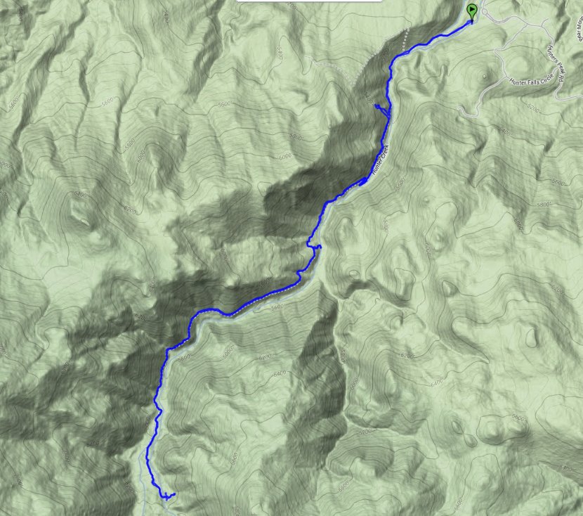
Hunter Creek Falls route
Download GPX GPX for this trip
American Canyon Trail Elevation Profile
Start Coordinates:   N 39 29.588 W 119 53.652      End Coordinates:   Same as Start Coordinates  
Car Shuttle Req'd:   No Parking Directions:   Take Highway 80 to Highway 659 South on the west side of Reno.
Turn right onto Caughlin Parkway from 659 and then turn right on Hunters Peak Road.
Follow this road up to the parking lot for the Hunter Creek Falls trailhead.
Hazards of Note:   Snakes
Heat
Crowd Factor:   Moderate; popular with dog walkers
General Notes:
The trail starts off in dry, arid terrain for the first mile, climbing up into a canyon area.  After this it starts to become forested and by the time you reach the waterfall you are in a shaded woodland area.  A completely unexpected environment considering you are so close to the dry Reno basin.

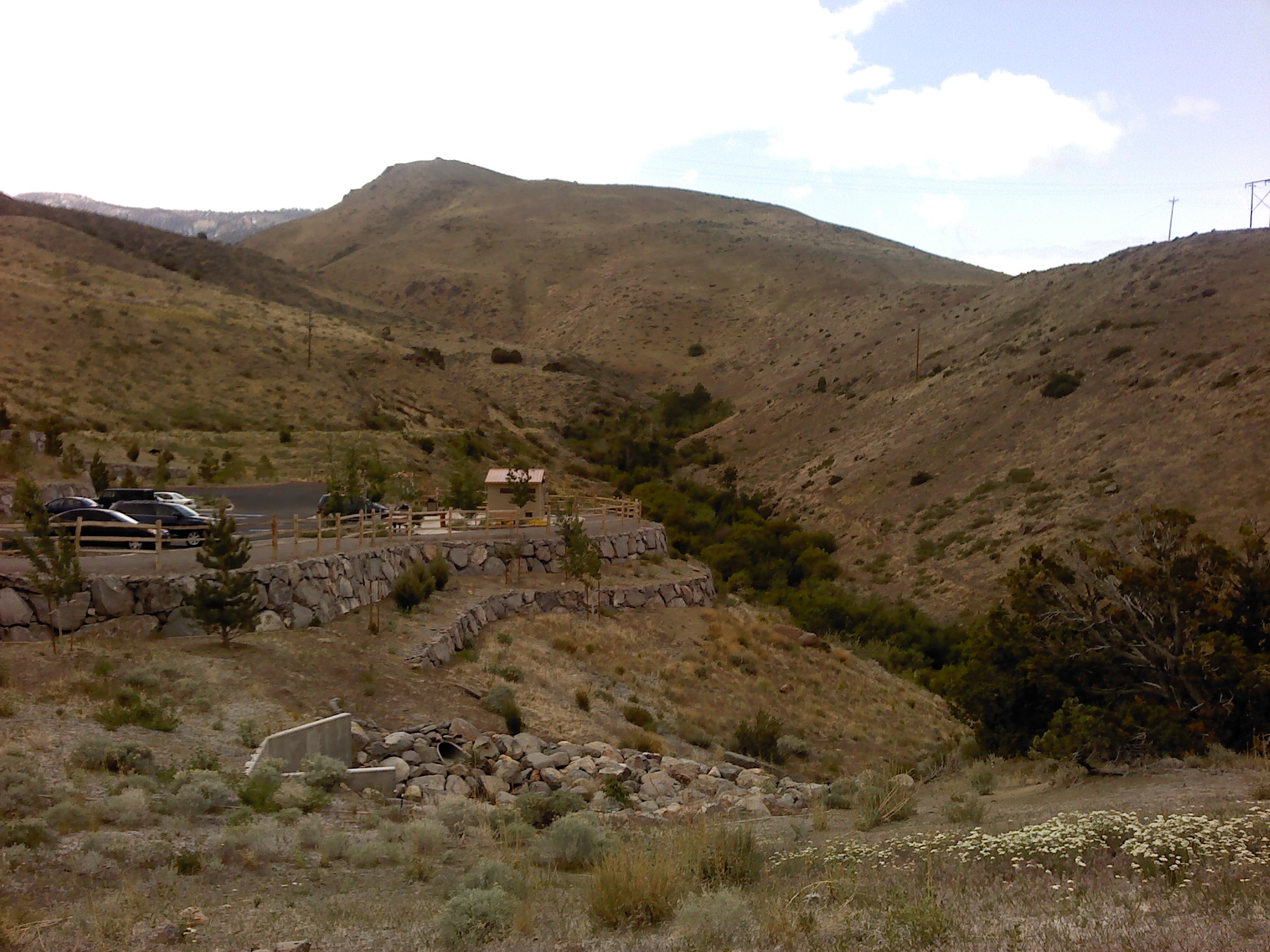
Very dry environment at the start of the hike with no indication of what is ahead. Trailhead
Small grass and bushes are the only vegetation along the arid start of the trip. Barren canyon
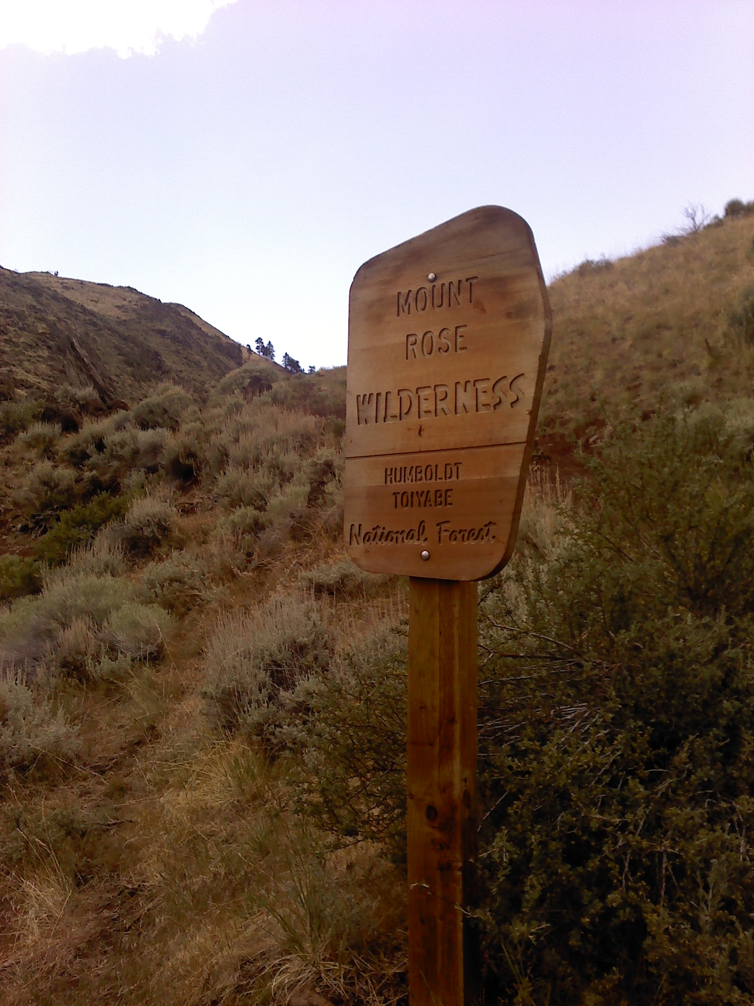
A little bit up the trail you enter into the Mt Rose Wilderness area. Mt Rose Wilderness
Looking back at downtown Reno from along the trail. Nice view of Reno
After climbing up a nearby rise to find a geocache, one could see the trail far below with just a hint of green starting to make an appearance. Trail down below
Continuing to head on up the trail the trees started to make an appearance. Into the forest
It was nice to have water along the way as the trail heads up a canyon carved out by this flow.
Water on the way
The payoff at the top of this hike is a surprisingly large waterfall that flows steadily year-round. The Falls
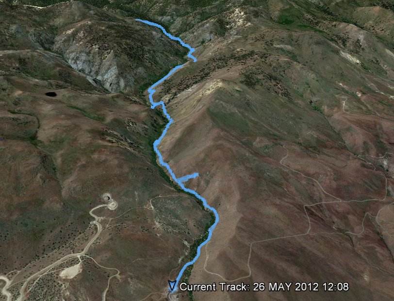
GPS Track of the full hike. GPS Track of Hike