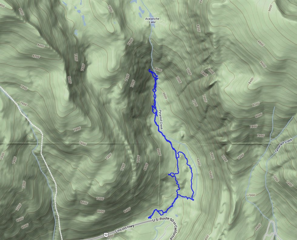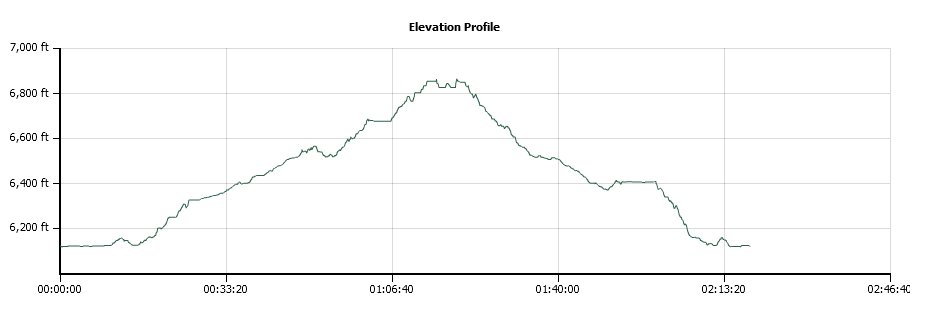
Distance: 4.0 Miles
Vertical Gain: 750'
Group Size: 3
Hike Rating: Easy Moderate Hard Strenuous

 GPX for
this trip

| Start Coordinates: | N 38 48.692, W 120 07.432 | End Coordinates: | Same as Start Coordinates | ||
| Car Shuttle Req'd: | No | Parking Directions: | Take Highway 50 to the parking area for Pyramid Creek Trailhead at the coordinates indicated. | ||
| Hazards of Note: | None. | Crowd Factor: | Busy. Most of the trail below the falls will be very busy with many people exploring the area. | ||
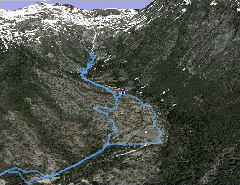
| General Notes: This is an easy hike to the base of the falls, with a couple of different ways you can go to access the base of Horsetail falls. There are many marked (with rock cairns) routes up on the left side of the falls, which will eventually get you to the top and Avalanche Lake, which is the immediate source of Horsetail falls. This is a very difficult cross country trail and should only be attempted by skilled individuals. |
|||||
