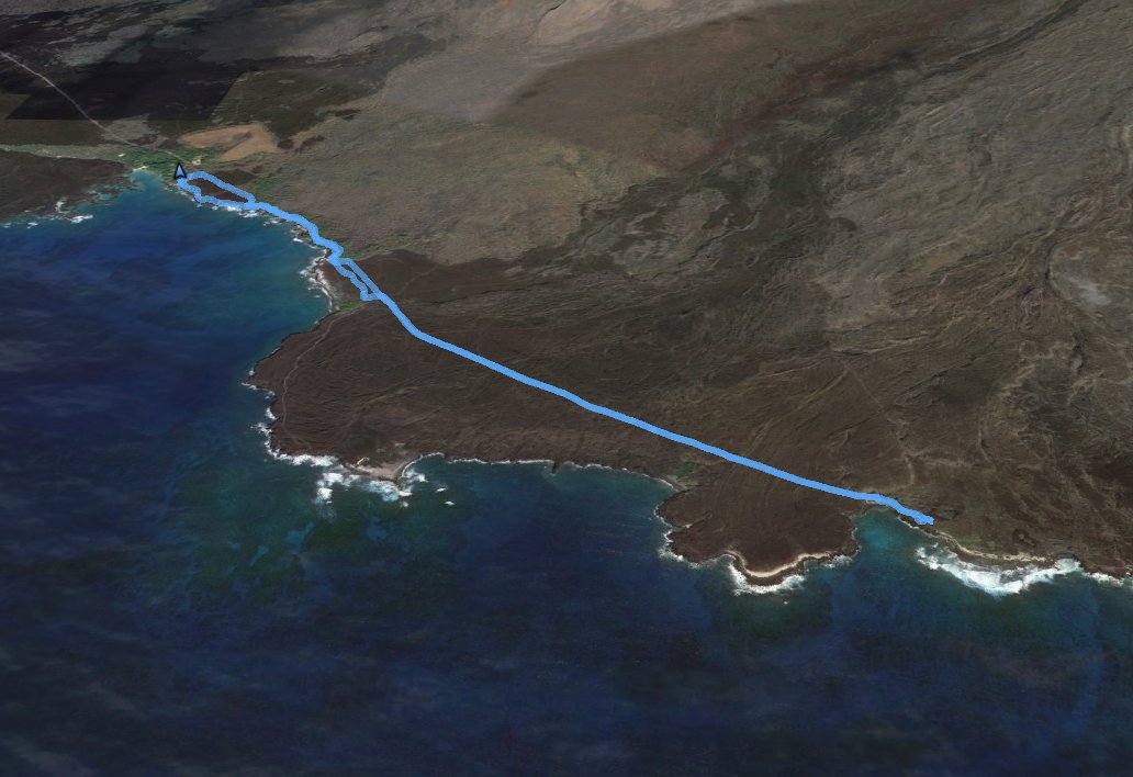
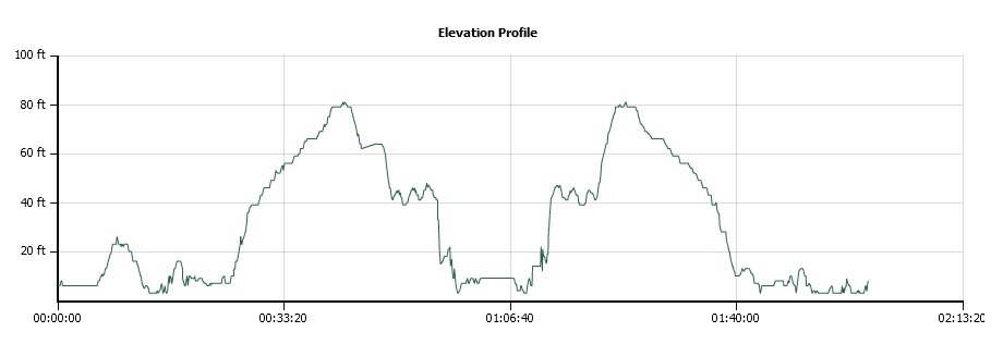
Distance: 4.5 Miles
Vertical Gain: 150'
Group Size: 3
Hike Rating: Easy Moderate Hard Strenuous
 See video of hike
  GPX for
this trip
GPX for
this trip
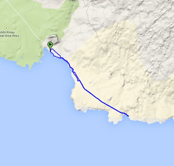
| Start Coordinates: | N 20 35.969, W 156 25.198 | End Coordinates: | Same as starting coordinates | ||
| Car Shuttle Req'd: | No | Parking Directions: | Take Highway 31 south to Makena Road. Follow this road south until it becomes a narrow two-lane drive, and then you will enter the Ahihi Kinau preserve with black lava rock on both sides of the road. Follow this all the way to the end, parking in the open area at La Perouse Bay. | ||
| Hazards of Note: | Very windy during most times of the year. Bring water, as there is none along the way that is drinkable. | Crowd Factor: | Moderate. La Perouse Bay is a popular area, but once on the trail you will not meet very many others. | ||
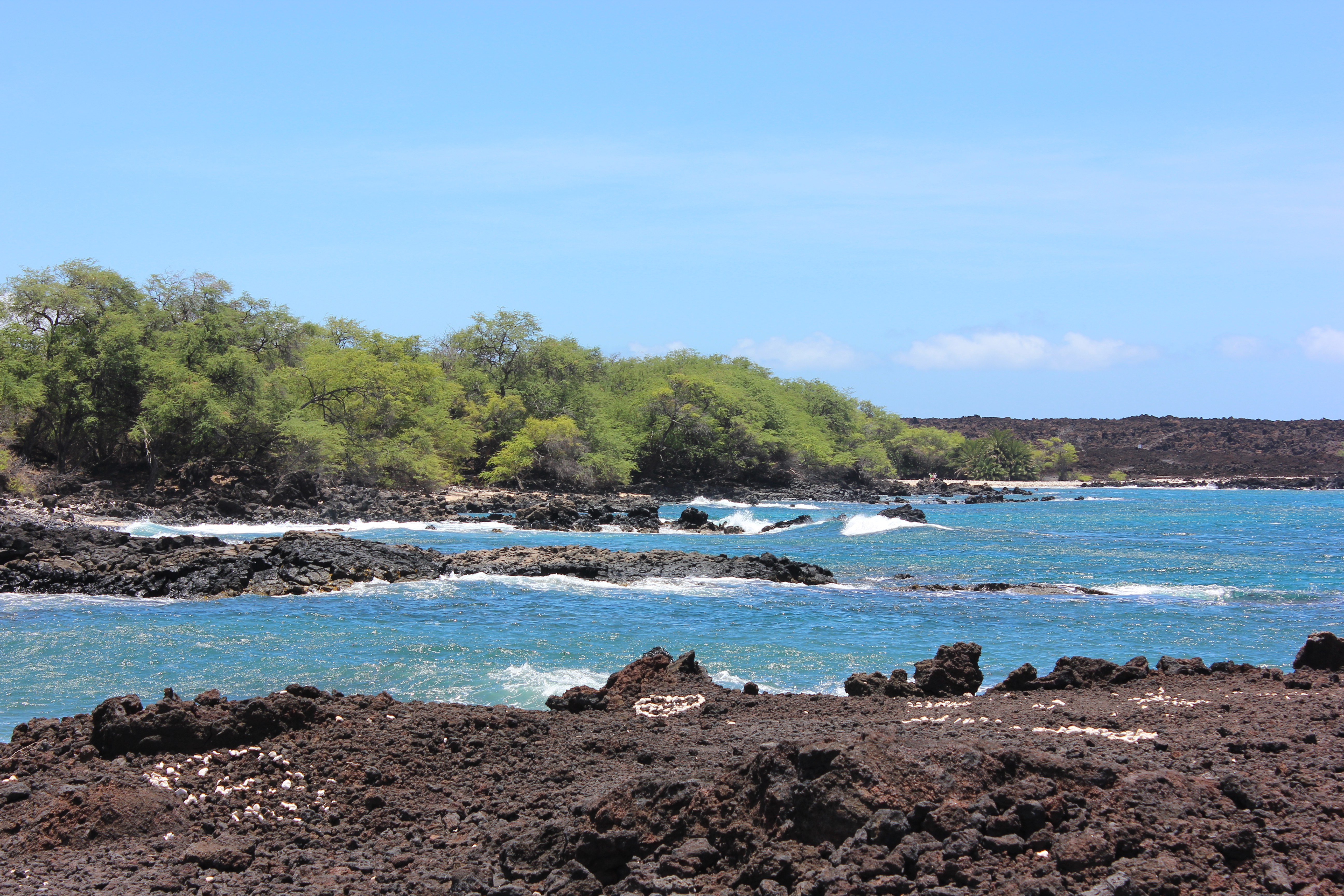
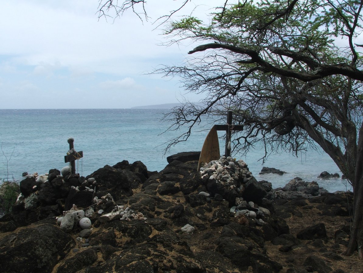
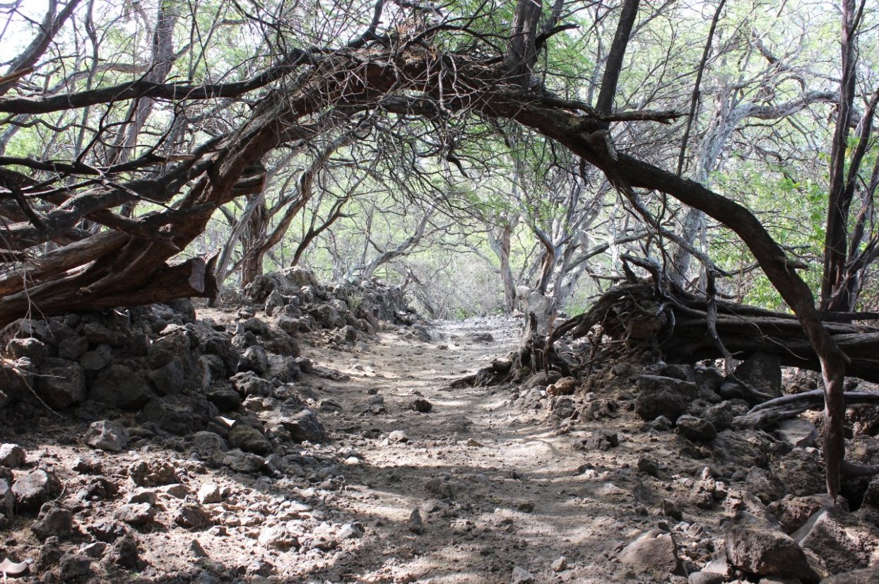
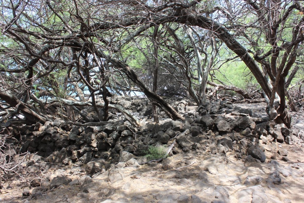
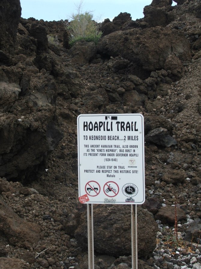
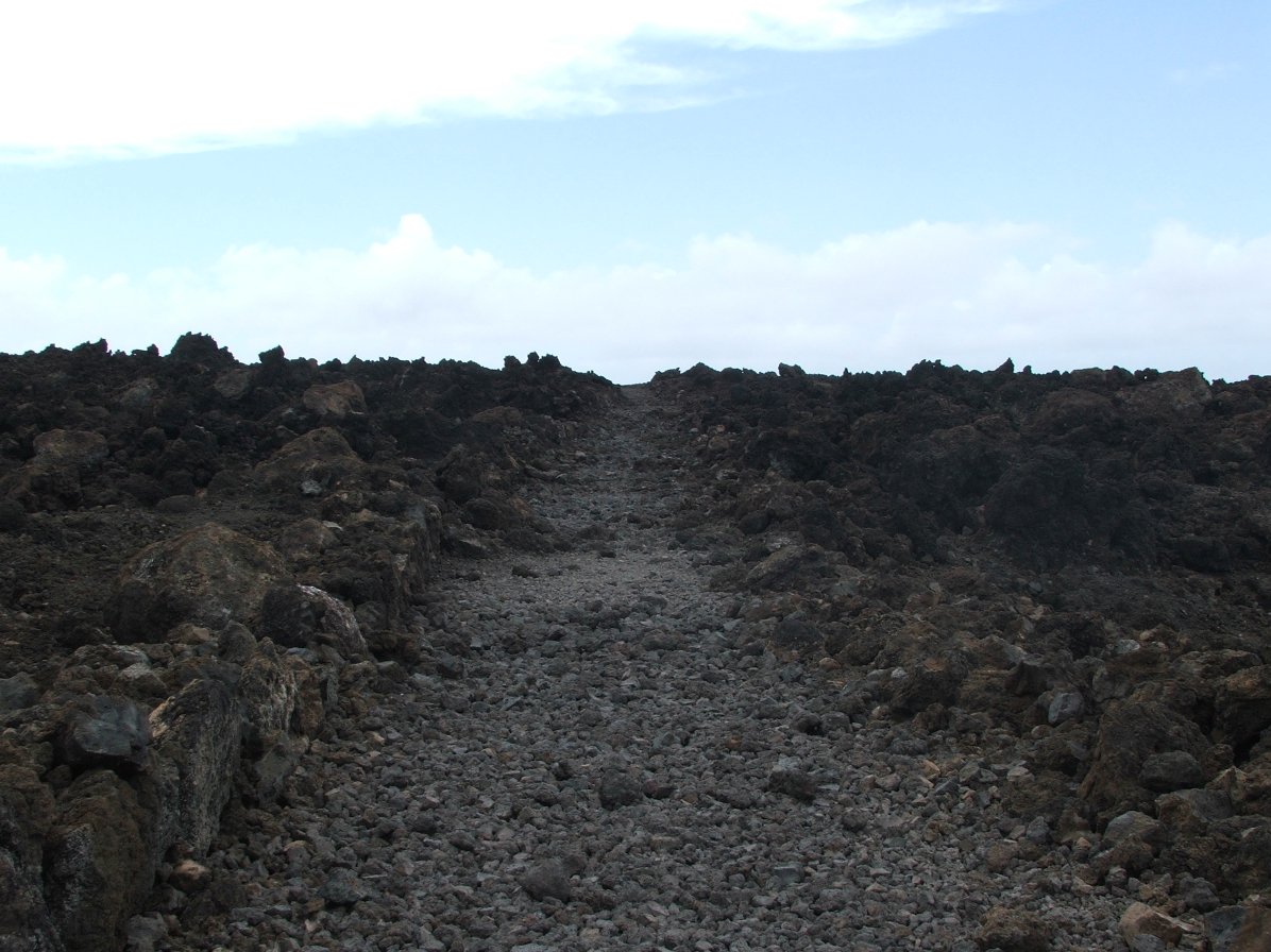
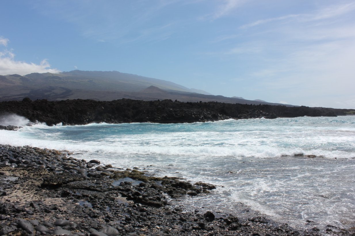
| General Notes: The trailhead for the Hoapili trail follows a very obvious trail south along the shoreline. You will pass by a number of ancient Hawaiian structure ruins, which are historically significant and should not be disturbed. The first beach that you reach has a path through a pleasant tree tunnel, along with more ruins and many black goats who now inhabit the area. Just at the end of the beach the trail either follows along the shoreline toward the La Perouse Bay lighthouse, or turns left, which is the trail you will be taking. Follow this as it then bends back to the south, and you will walk along a rough lava field path that can be very damaging to your shoes if you do not walk carefully to avoid the very sharp lava rock. Continue on this trail pas a small beach oasis that you will see on your right near the two mile mark, and then drop down into Keoneoio Beach when you get past a small bay which the trail walks along the edge of. The beach is very windy and very remote, and you should have it all to yourself for the duration of your visit. |
|||||