Distance: 13.0 Miles
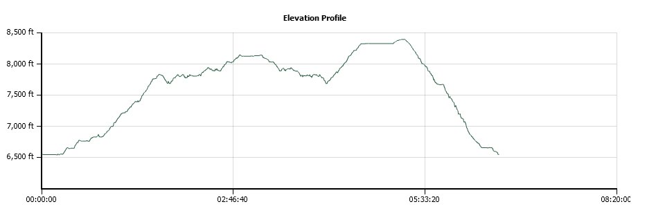
Vertical Gain: 2800'
Group Size: 1
Hike Rating: Easy Moderate Hard Strenuous

 GPX for
this trip

| Start Coordinates: | N 38 52.610 W 120 04.811 | End Coordinates: | Same as Start Coordinates | ||
| Car Shuttle Req'd: | No | Parking Directions: | Drive all the way to the west end of Fallen Leaf Lake Rd, and turn onto Glen Alpine Rd up to the parking area near Lily Lake. If full, you may have to park along the road. | ||
| Hazards of Note: | The first mile of the hike
from Glen Alpine toward Grass Lake is very rocky and will eat ankles if
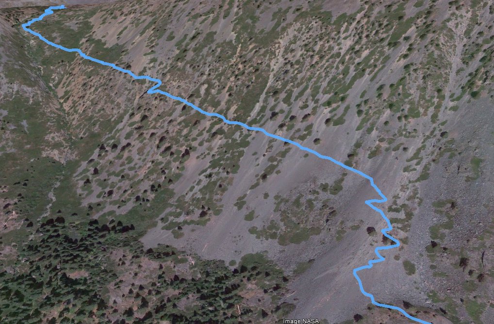
not careful. The Middle Tallac Trail as shown on this hike is extremely hazardous and should only be attempted by those with good balance, patience, and no fear of heights and narrow trails. |
Crowd Factor: | Busy, especially on weekends. | ||
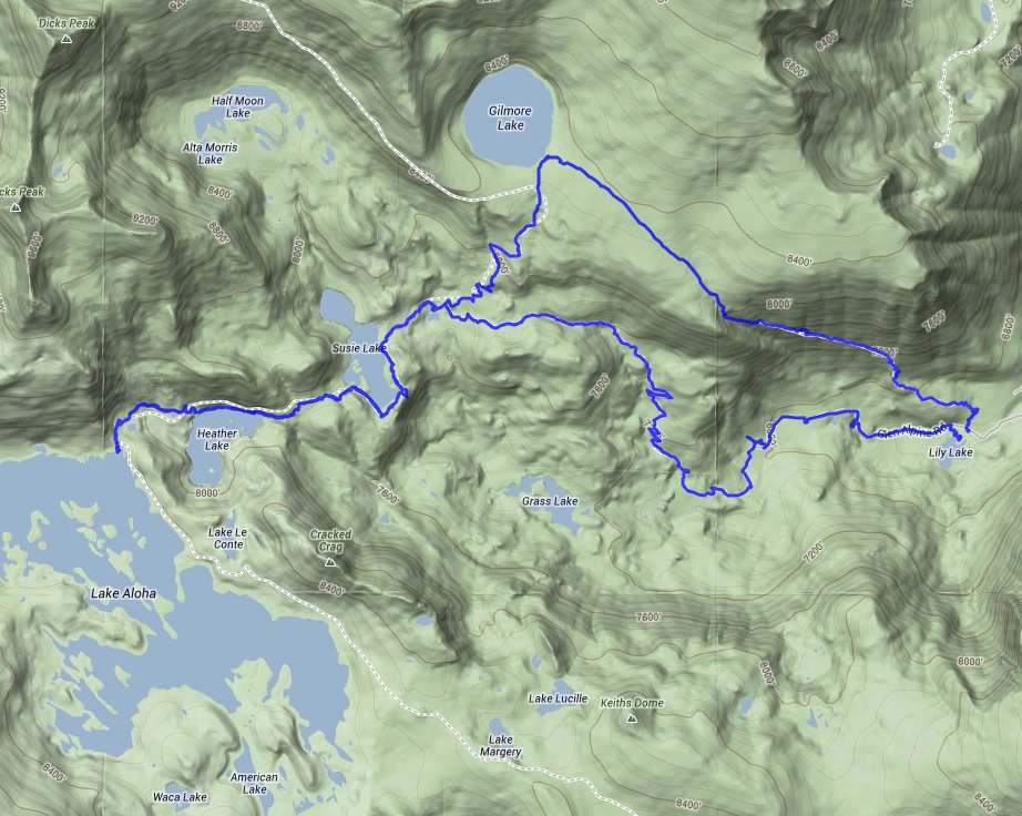
| General Notes: The first part of this hike follows a very well-maintained Desolation Wilderness trail, which climbs relentlessly up to about a mile before Lake Gilmore. Turn west at the signed trail junction toward Lake Aloha, following this around the eastern and southern edge of Susie Lake with fantastic views up toward Dick's Peak to your north. A rocky section passes along the north side of the very pretty Heather Lake, and finally you will climb to a point where you are at the north end of Lake Aloha. Mosquito Pass is about 3/4 mile further along this trail into Rockbound Valley. Turning back and retracing your steps past Susie Lake, veer left at the signed junction and head toward Lake Gilmore. From here you can find a use trail headed SSE toward the Middle Tallac Trail, but I would think long and hard about making this decision over turning back down the trail toward Glen Alpine and the way that you originally headed up. Since this is a hike into Desolation Wilderness, you will need a day permit (free at the trailhead) and the group size limit is 12. |
|||||

