|
|
Hawkins
Peak Hike
|
|
Trip Date: 06/13/2014
Distance: 7.1 Miles
Vertical Gain:
2000'
Group Size:
5
Hike Rating: Easy
Moderate
Hard
Strenuous |
 GPX for
this trip
GPX for
this trip
|
|
|
Start Coordinates: |
N 38 43.942 W 119
54.159 |
|
End Coordinates: |
Same as Start Coordinates
|
| Car Shuttle
Req'd: |
No |
|
Parking
Directions: |
Take
Highway 88 to Burnside Lake Road. Drive about 4 miles up this
dirt road which can be navigated carefully with a high clearance 2WD
vehicle to the parking coordinates. |
| Hazards of
Note: |
Significant elevation gain on
the road up from the parking area.
Access
the summit from the eastern side, following use trails to the top.
Some easy rock climbing may be required to access the summit. |
|
Crowd Factor: |
Limited. This is a
relatively remote peak in Alpine County. You probably won't
run into anyone on the trail. |
General Notes:
This
is one of the 'easier' summits of 10K feet or more to climb in the
area. Depending on where you park, it appeared that many
people
had driven around the locked gate a half mile further on Burnside Road
up to the summit. Most of the trek is on dirt road with
fantastic views in every direction of the Mokelumne Wilderness area,
and even the Desolation Wilderness area to the north.
Continue on
the road around the north side of the peak to a communications power
station on the eastern side of the mountain, and then scale from here
to the top. Very windy, but the views are amazing. |
|
|
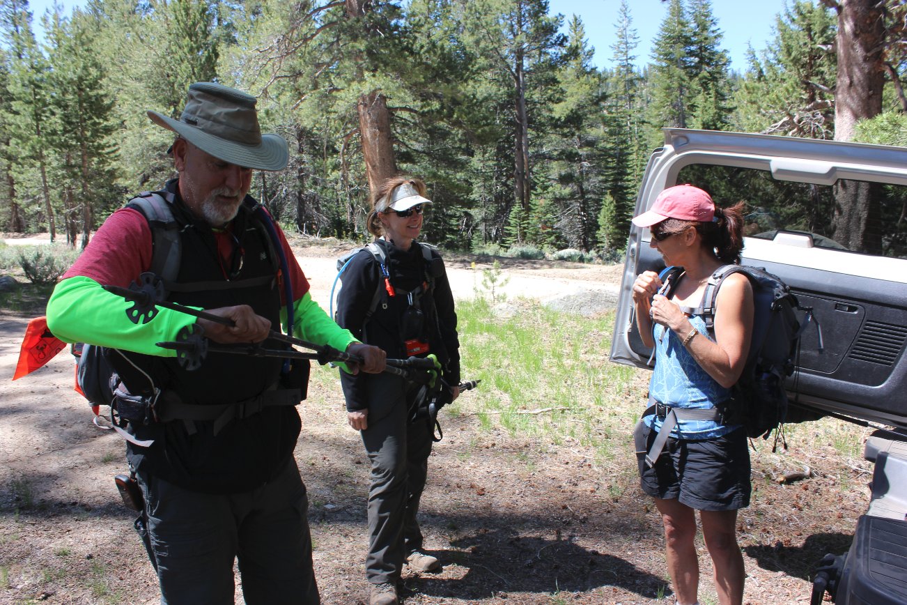
Our group eager to set out on
the hike. |
 |
|
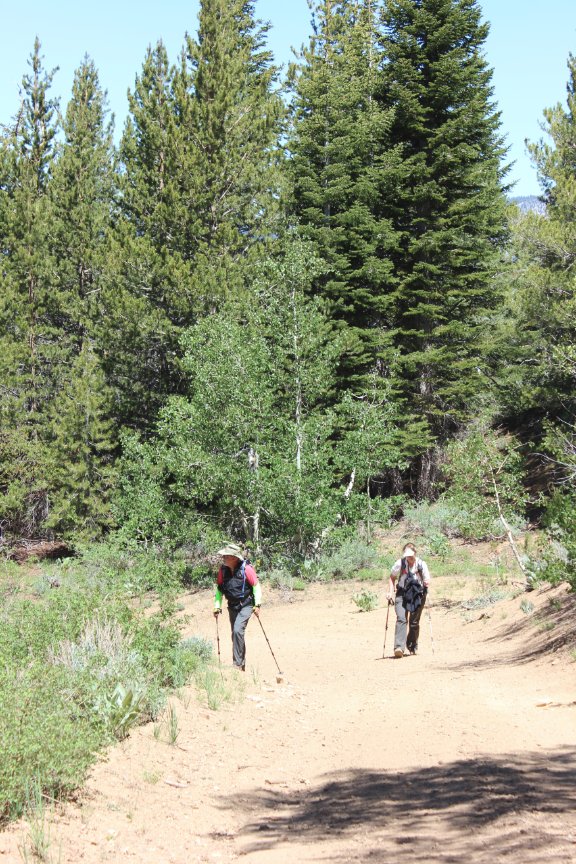
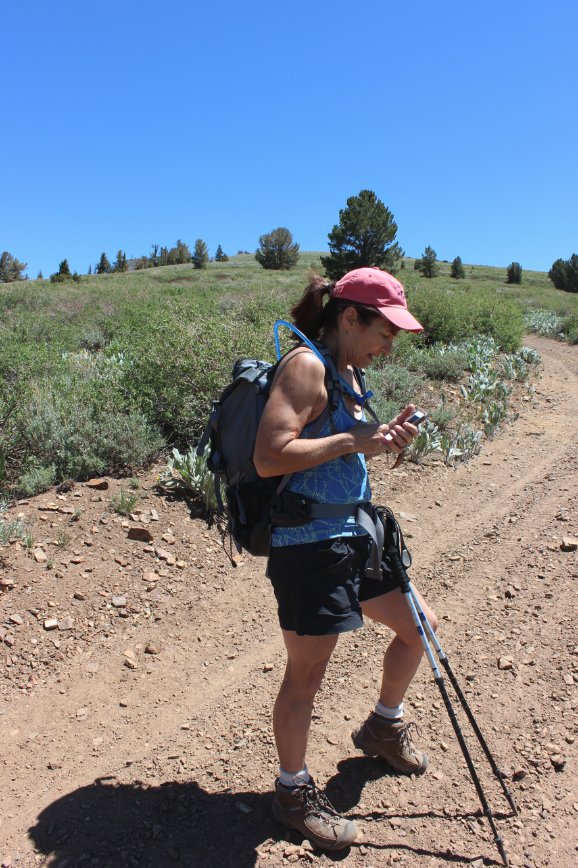
Mark and Tracey on a sample of
the early section of trail. |
 |
|
The trail comes out of the
forested area and meanders up the mountain in full sunlight the last
couple of miles to the peak. |
 |
|
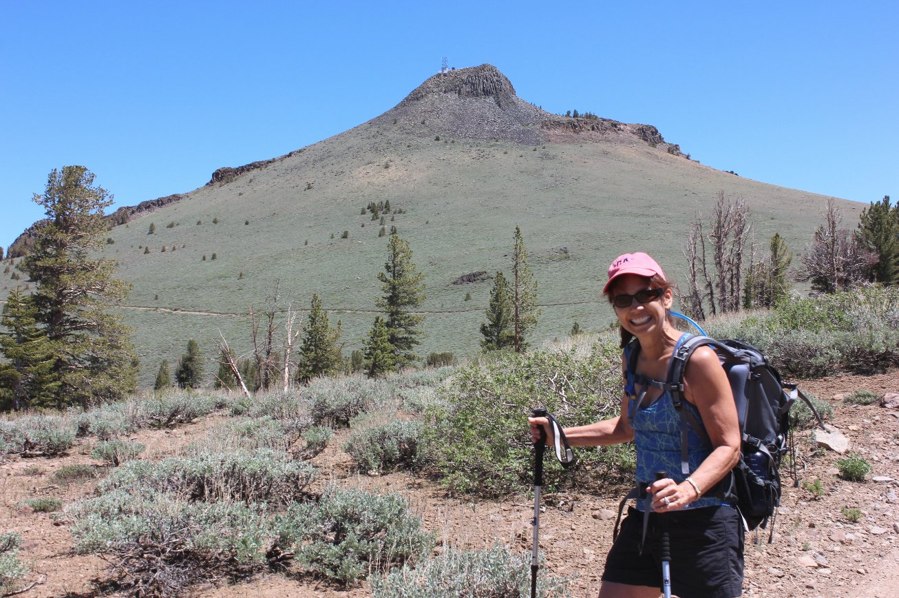
Looking up at our destination,
still a good 1500 feet of elevation above this point. |
 |
|
Briefly
considered taking a use double-track trail up the west side of toward
the peak, but didn't and found a little later on that we would have had
to climb this pass to get even close to the top. A good call
not
to go that way and to stick to the road. |
 |
|
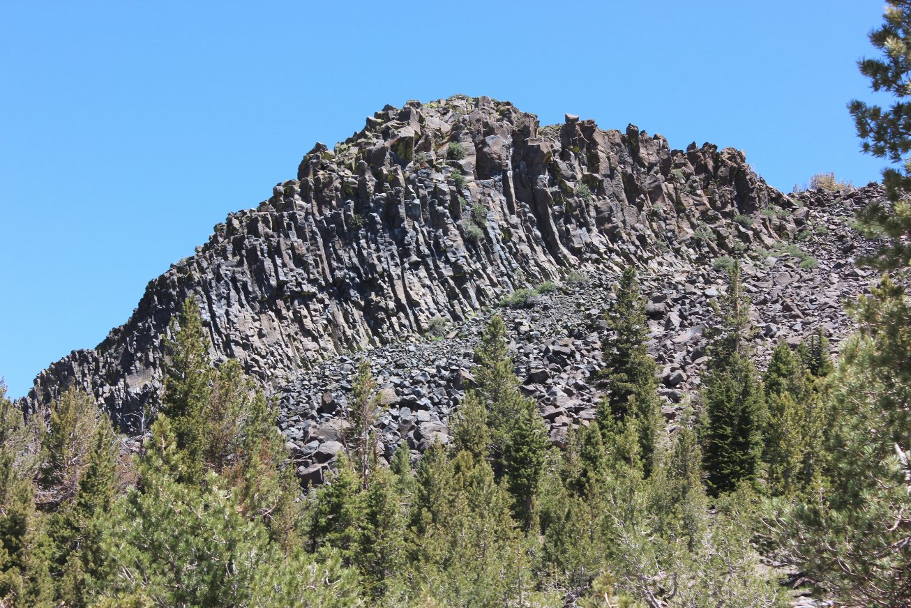
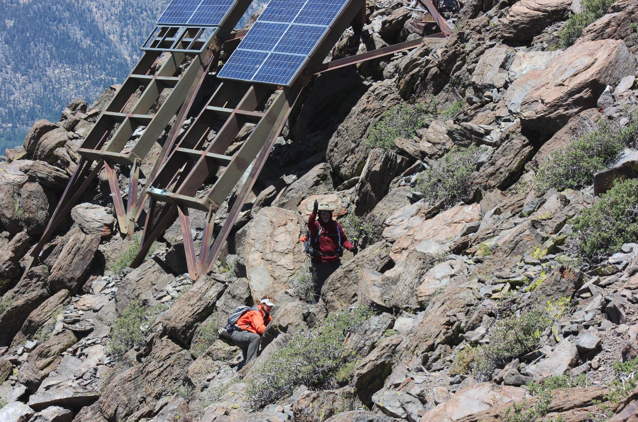
Looking
west from the top of the mountain toward Round Top and Mokelumne.
Two of our hiking mates can be seen scaling the
non-as-advisable
western side far below. |
 |
|
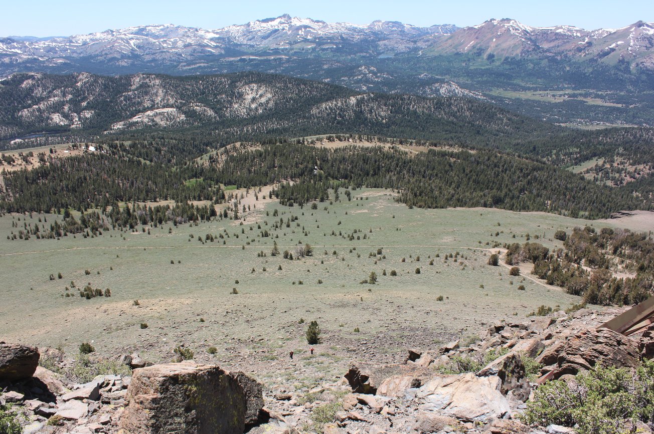
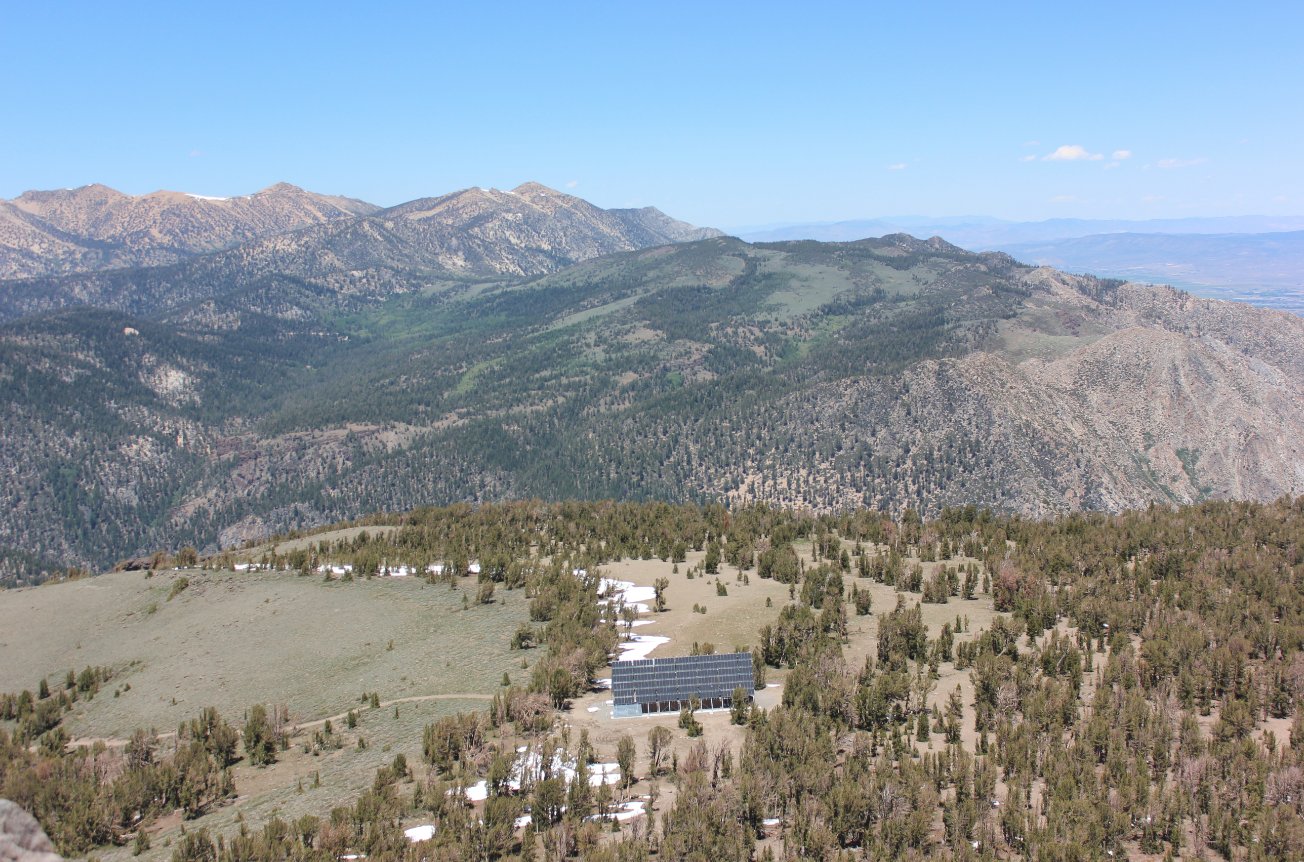
Below the
summit on the eastern side is a communications station for Alpine
County that the primary assembly was placed to keep it from being an
eyesore at the summit. Offered fantastic cell service.
Horsethief Canyon is behind it to the left, below Freel Peak
in
the distance. |
 |
|
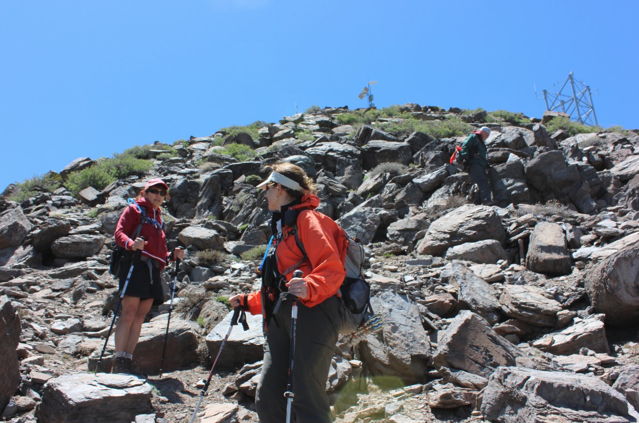
Our teammates on their final
ascent to the top of the peak. |
 |
|
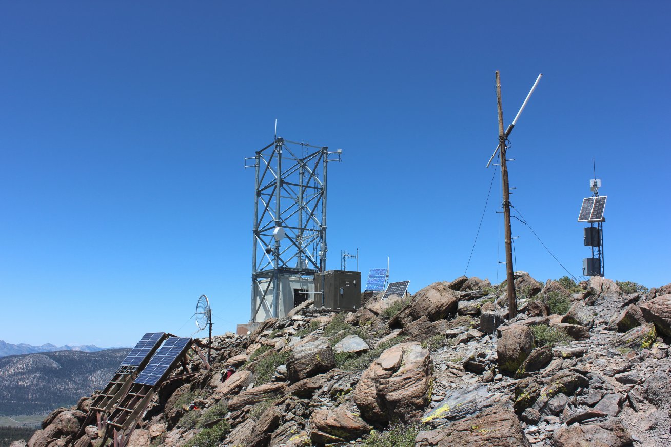
The communications equipment
at the peak. |
 |
|
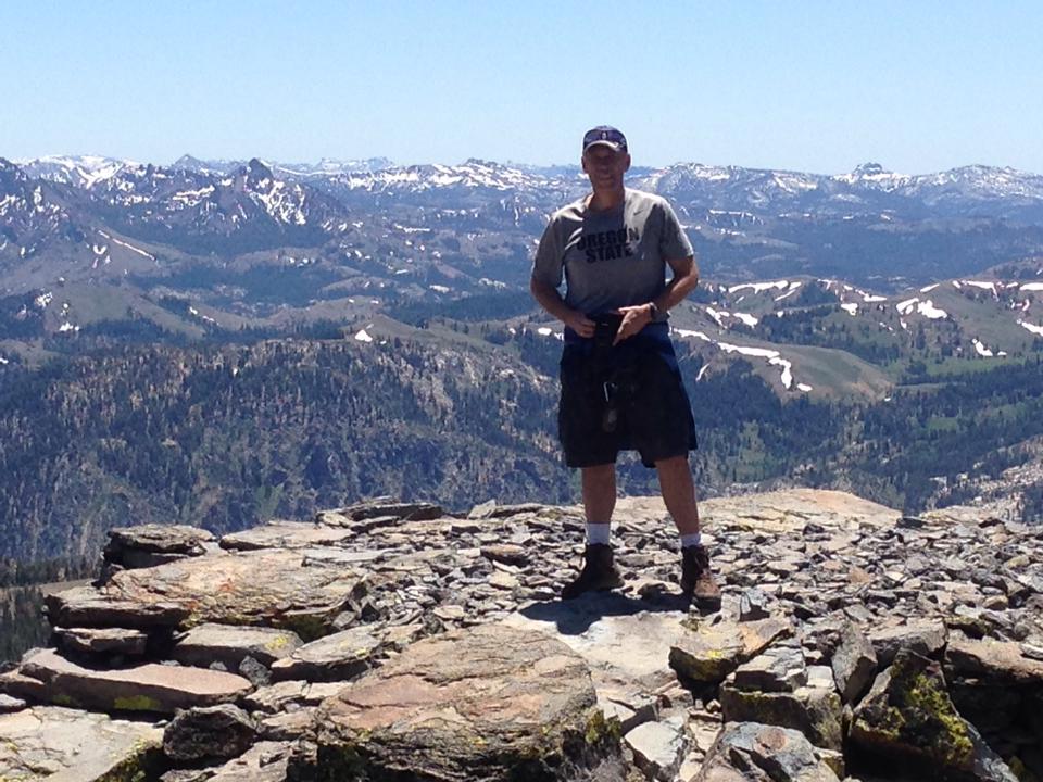
Myself at the peak with the
southern mountains far behind. |
 |
|
Checking out the summit
register. |
 |
|
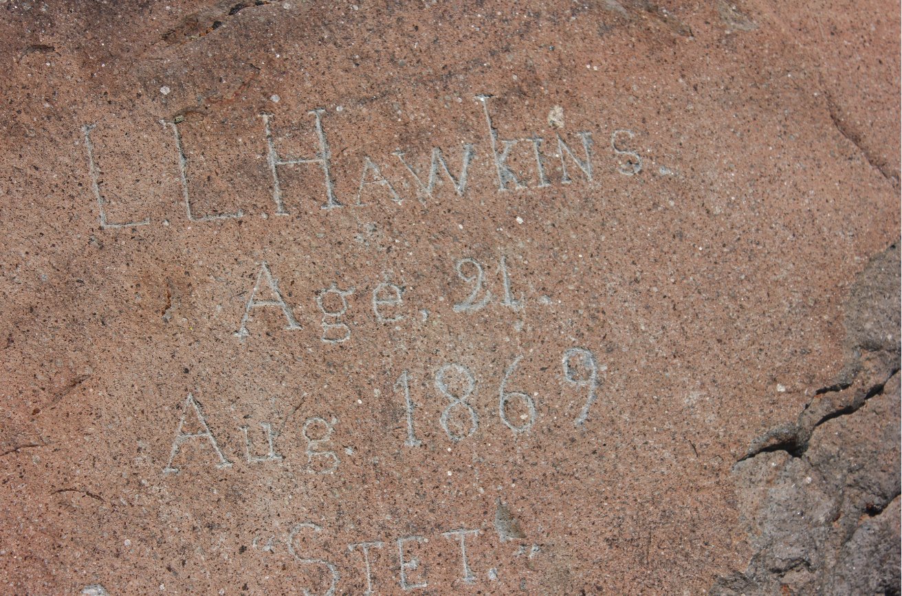
Engraving at the summit made
by the mountain's namesake in 1869. |
 |
|
Heading back down from the
summit on the eastern side. |
 |
|
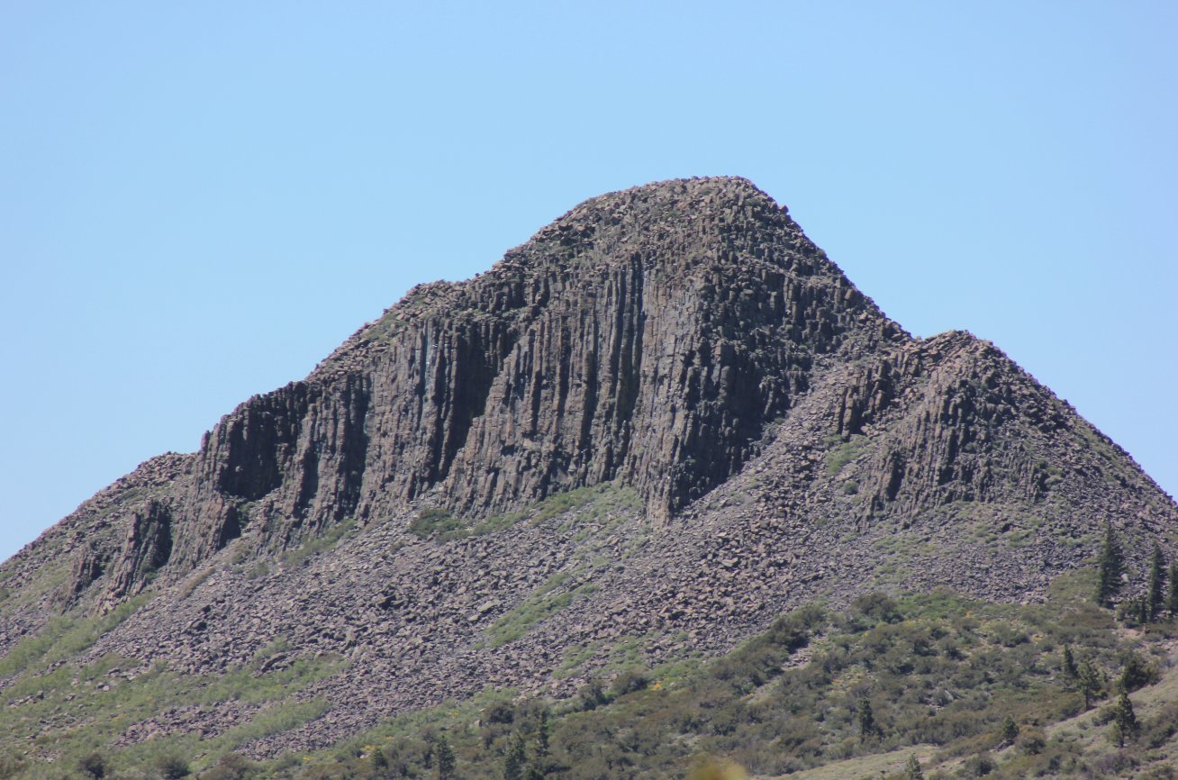
Pickett Peak looming to the
north, a destination that we saved for another day. |
 |
|
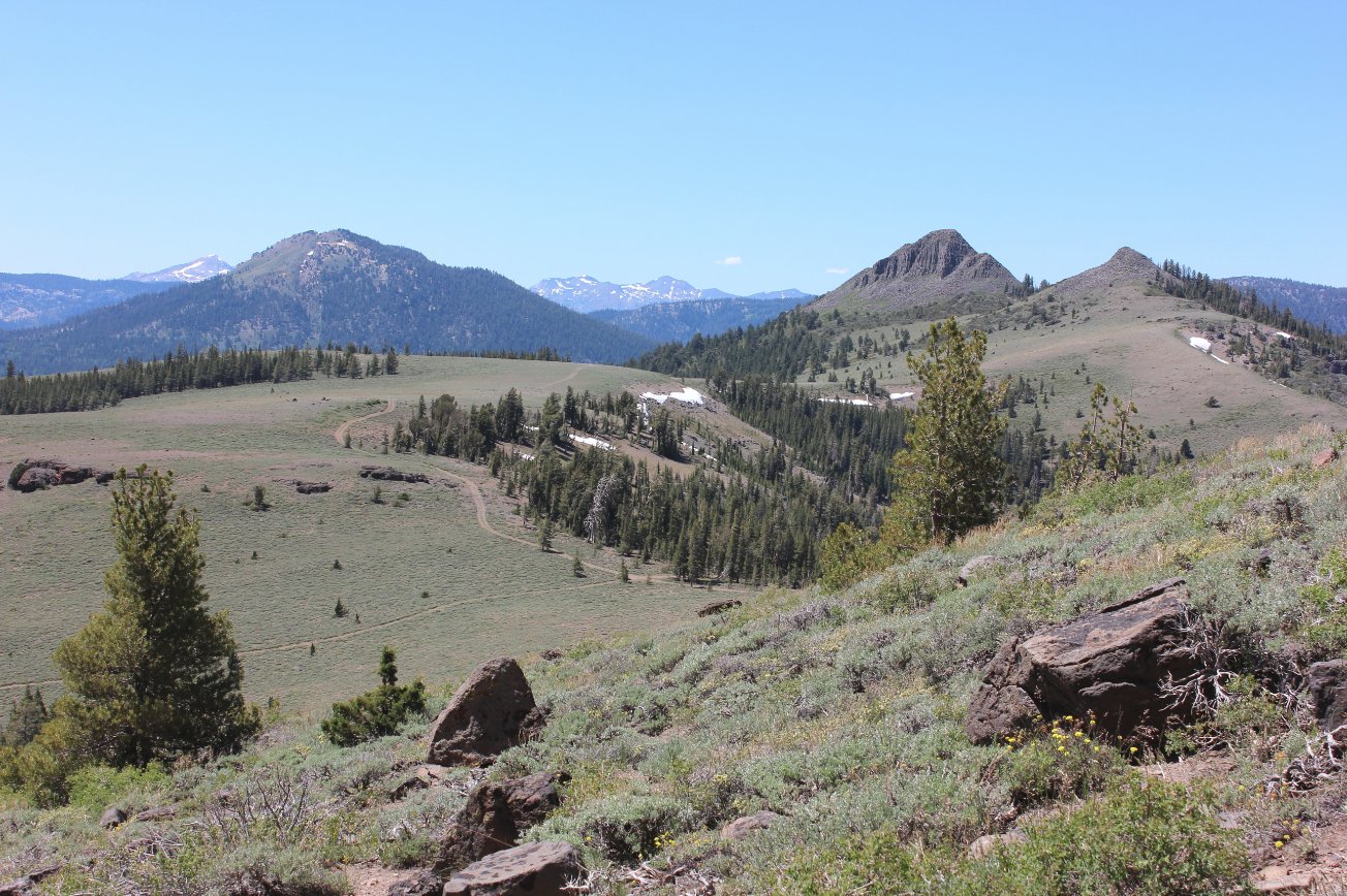
View to the north toward
Pickett Peak, second from the right and Waterhouse Peak, furthest to
the left. |
 |
|
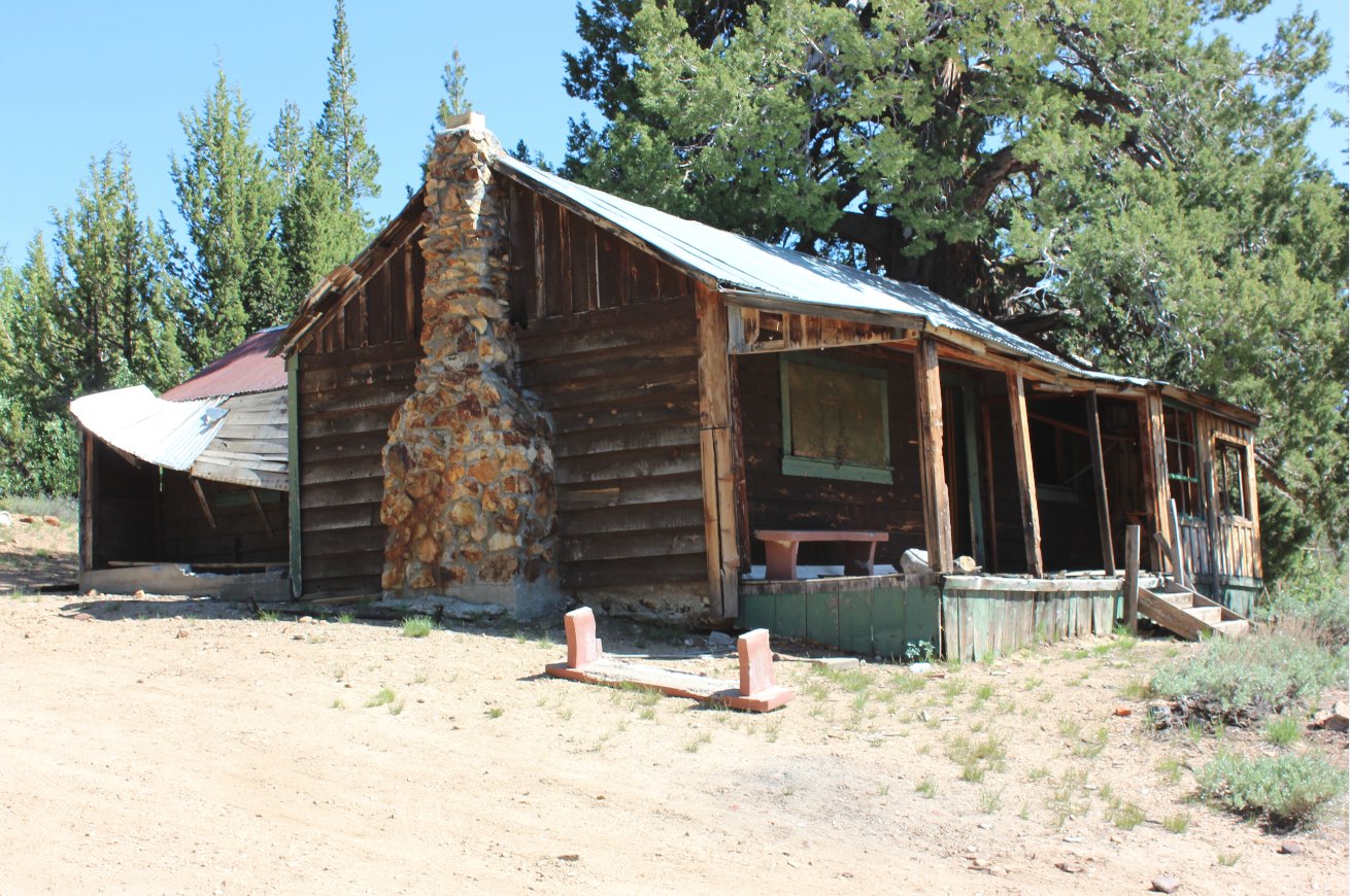
An old mining shack we found
just about 1/10th of a mile east of where we parked. |
 |
|
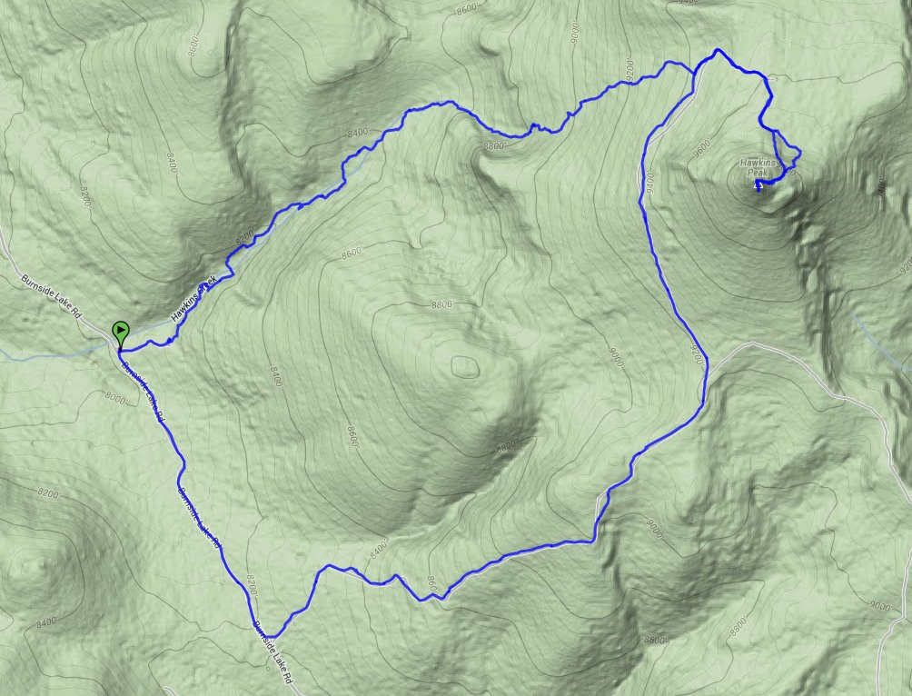
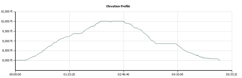
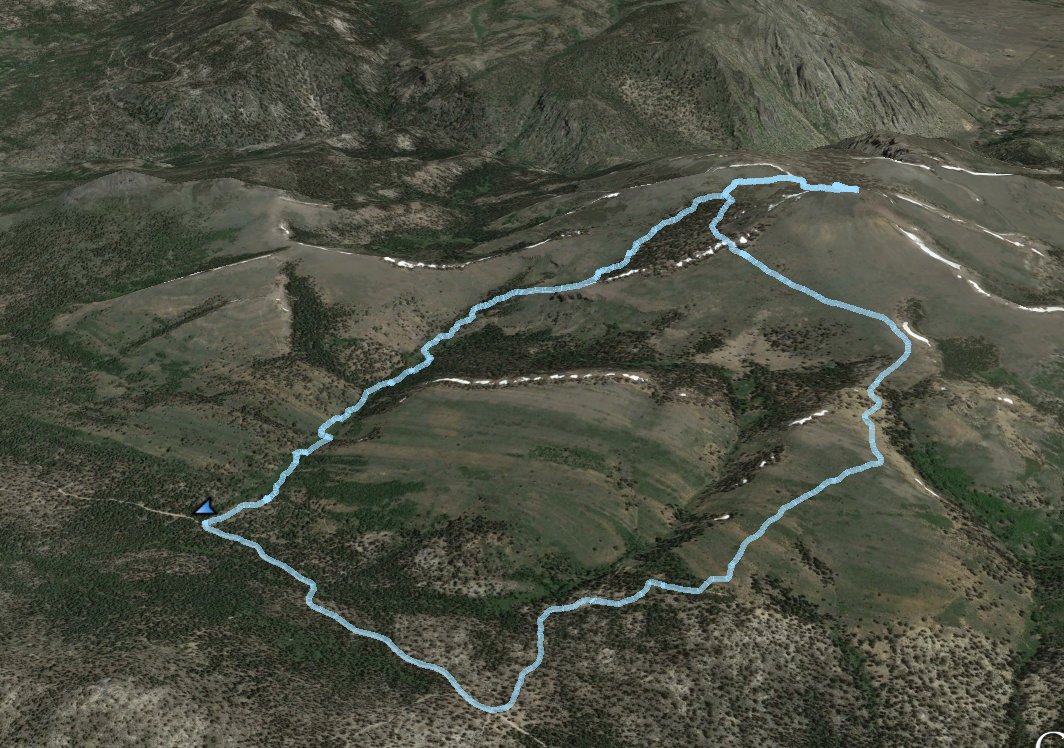
GPS Track of the full hike. |
 |