Distance: 7.5 Miles
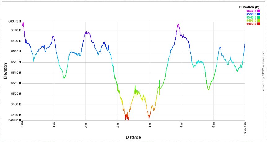
Vertical Gain: 500'
Group Size: 3
Hike Rating: Easy Moderate Hard Strenuous

 GPX
for
this trip

| Start Coordinates: | N 38 50.570' W 120 02.482' | End Coordinates: | Same as Start Coordinates | ||
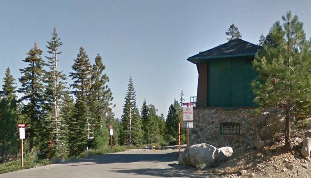
| Car Shuttle Req'd: | No | Parking Directions: | Take Highway 50 to the town of Meyers which is just on the eastern side of Echo Pass. There is a small turnoff on the north side of the highway right next to the actual gunmount building, and the parking coordinates are just outside of a gate into the trail area. There is room for two vehicles in this spot. | ||
| Hazards of Note: | There are few hazards per-se on this trail. The one thing to be aware of is that there are many forks in the trail all along this area, as it is popular with bikers and dog walkers. Even if you get onto an incorrect trail, you will not be able to get too far out of the way with a housing tract to the east for most of the way and the Angora ridge to the west. | Crowd Factor: | Moderate to High. This is a popular area for mountain biking and local dog walkers. | ||
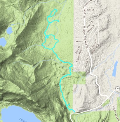
| General Notes: From the start parking area, pass the gate and head north for as far as you would like to venture until you reach the end of the trail section where it hits the road heading up Angora Ridge to Fallen Leaf Lake about 7 miles distant. There is a small swamp to your east just about a half mile into the hike, which you can access through an area which has been cleared of fallen timber over the past few years. The trail wanders through the forest for the first couple miles, barely skirting a local housing development about a mile into the trek. The trail then emerges from the forested section at almost exactly the 2 mile mark, offering stunning views of the back side of Flagpole and Echo Peaks to the west. This section of trail is open due to the devastating 2007 Angora Ridge fire, which was caused by an illegal campfire and destroyed nearly 300 buildings. From this point on the trail wanders through the burned forest for the rest of the time. |
|||||

