|
|
Grover
Hot Springs State Park Hike
|
|
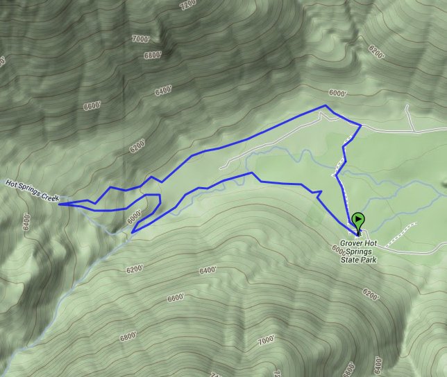
Trip Date: 09/11/2011
Distance: 3.5 Miles
Vertical Gain:
300'
Group Size:
8
Hike Rating:
Easy
Moderate
Hard
Strenuous |
 GPX for
this trip
GPX for
this trip
|
|
 |
|
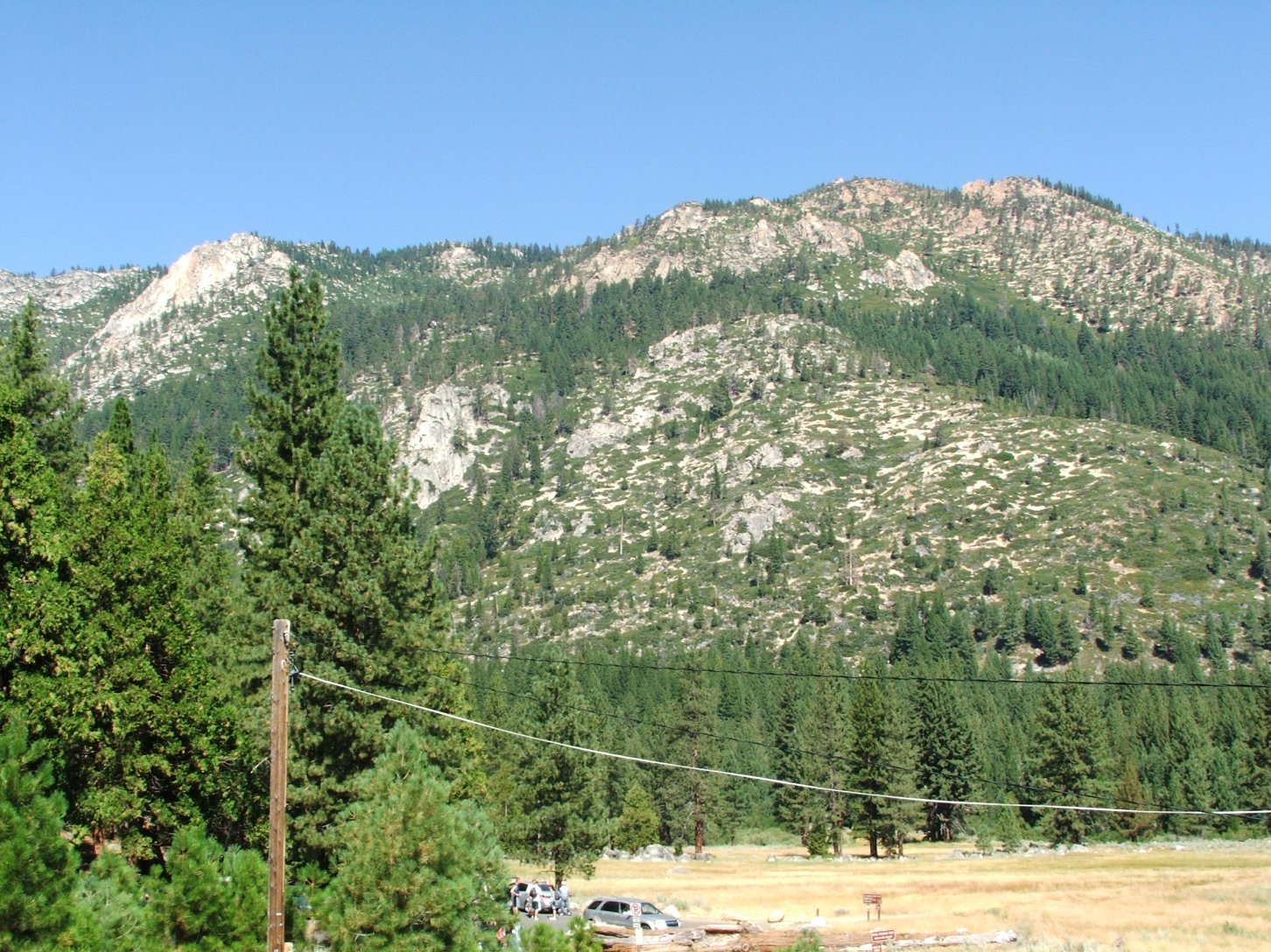
Mountains to the north of the
Hot Springs. |
 |
|
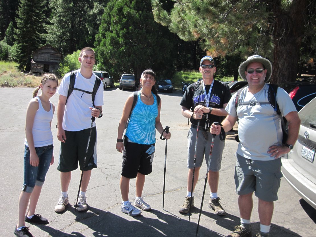
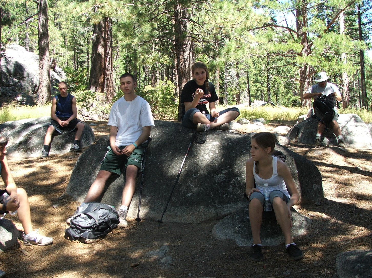
Part of the hiking group at
the start.
|
 |
|
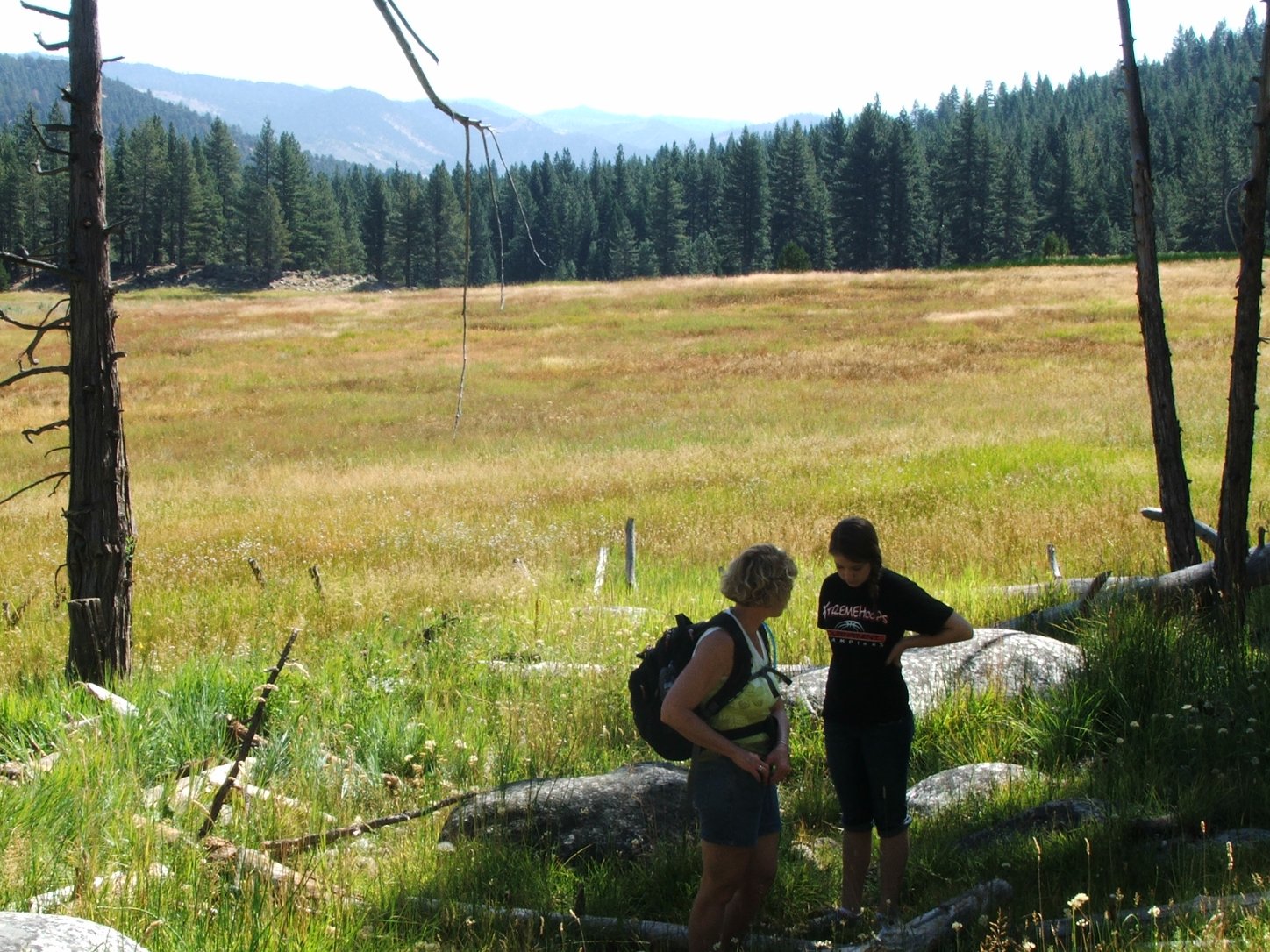
Grace and Sierra at Grover
Valley meadow. |
 |
|
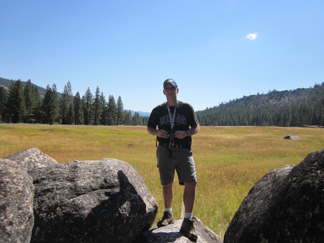
Myself at the geocache site
near the meadow. |
 |
|
A saddle we climbed up on the
way offered expansive views to the west.
|
 |
|
Tristan and Sierra enjoying
the lake setting. |
 |
|
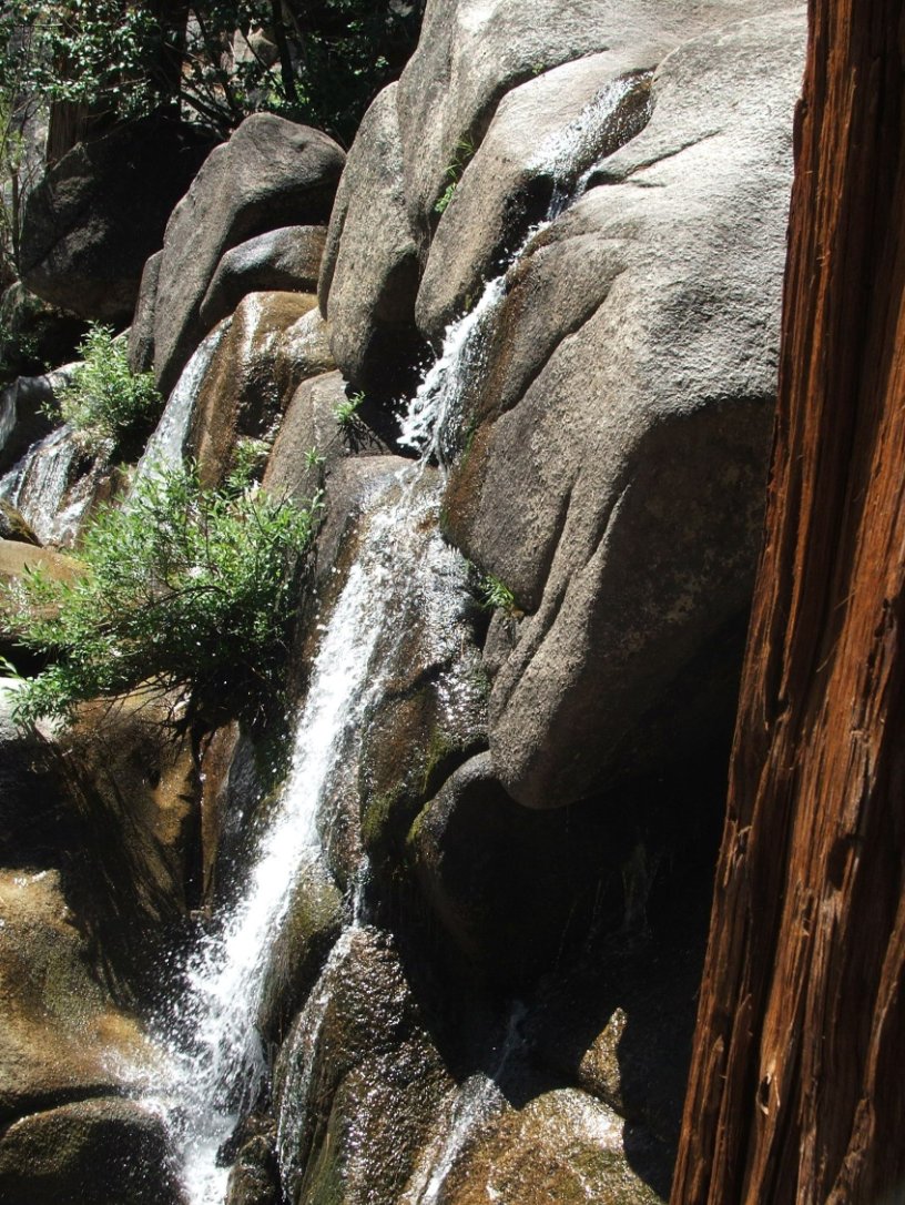
A small waterfall near the
lunch spot on the hike.
|
 |
|
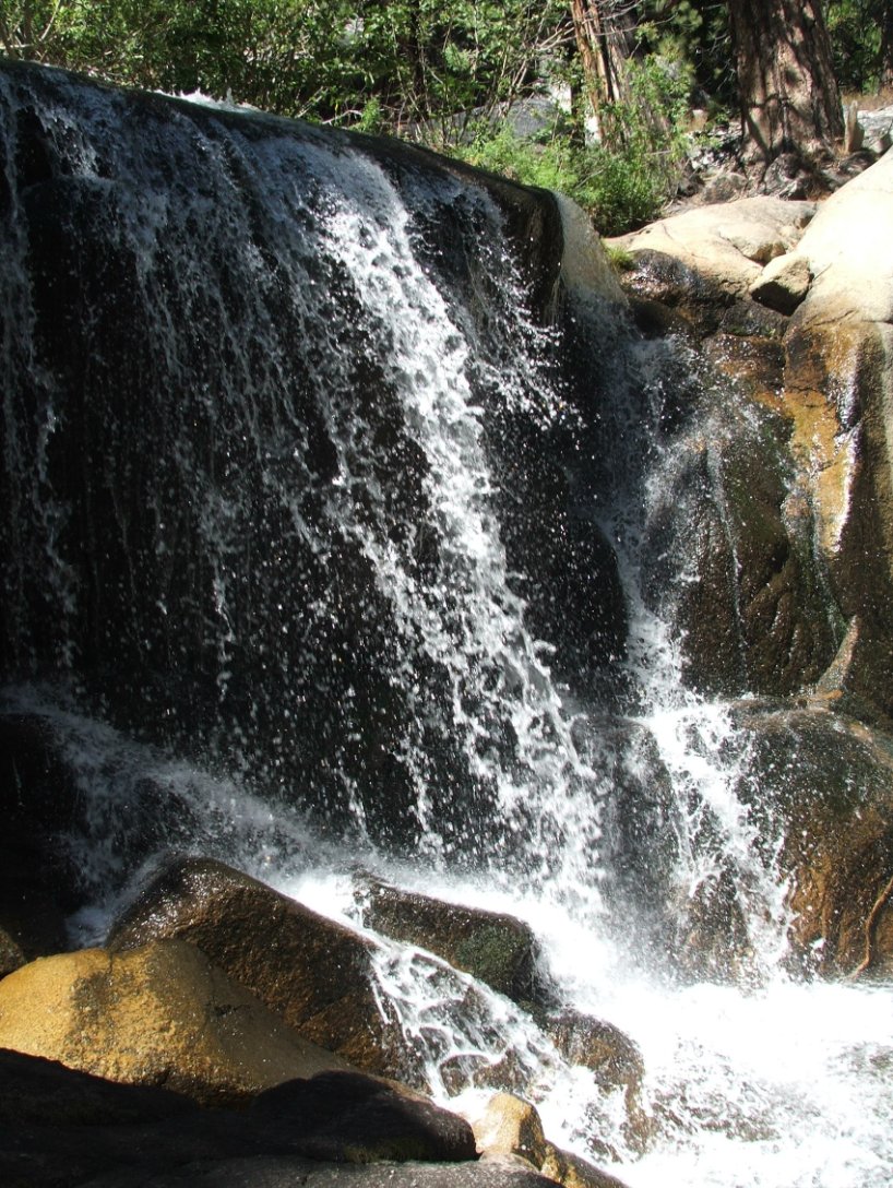
Larger waterfall with a
geocache not too far away. |
 |
|
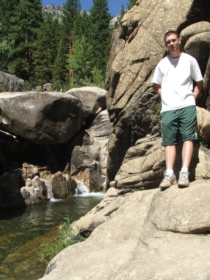
Tristan by a waterfall and
pool further along the trail. |
 |
|
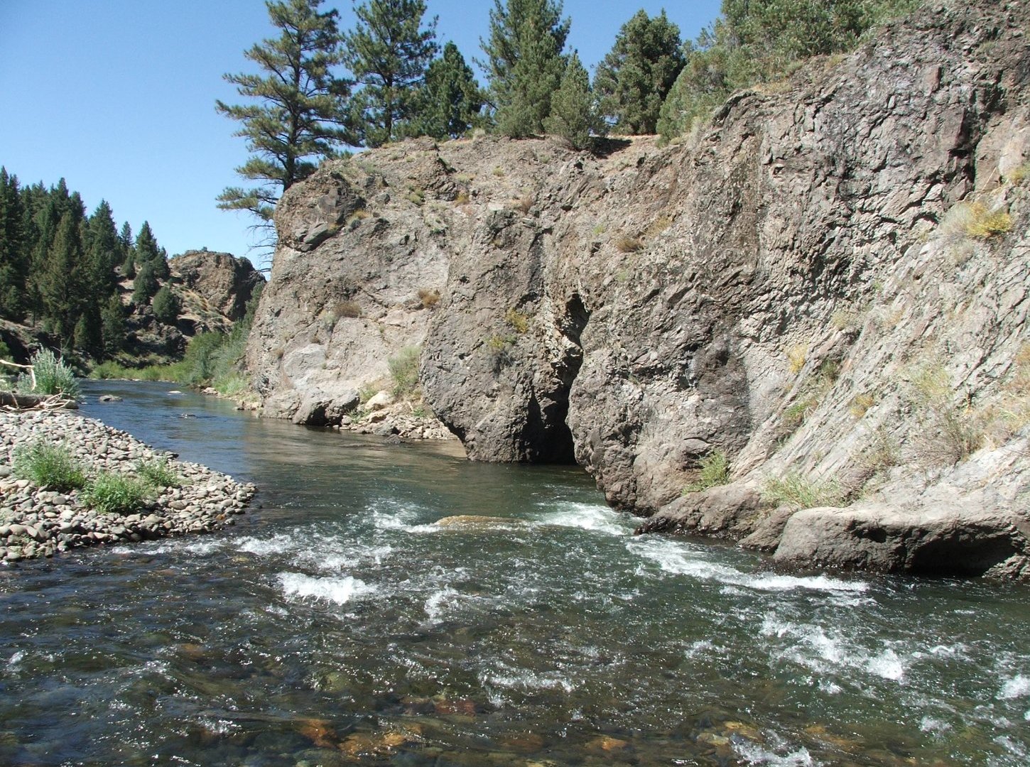
Nice spot along the Carson
River which is fed by the Grover Springs rivers. |
 |
|
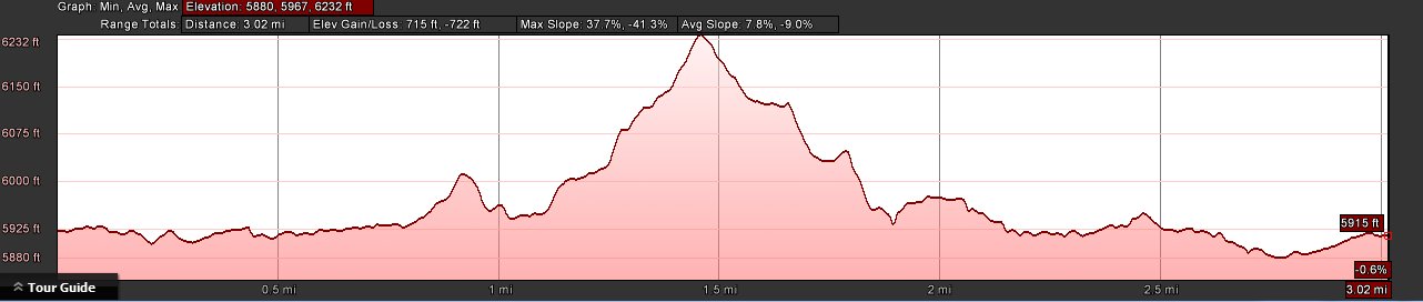
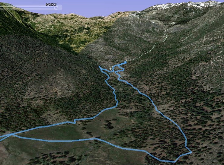
GPS Track of the full hike. |
 |