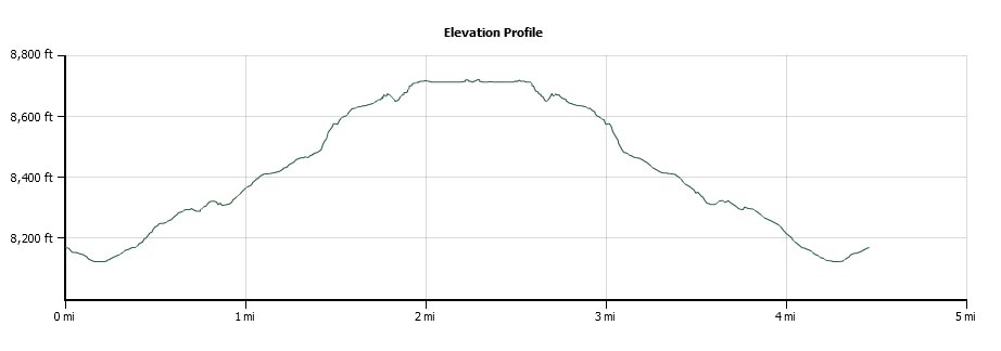
Distance: 4.5 Miles
Vertical Gain: 600'
Group Size: 2
Hike Rating: Easy Moderate Hard Strenuous
 GPX for
this trip
GPX for
this trip
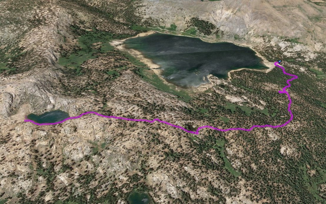
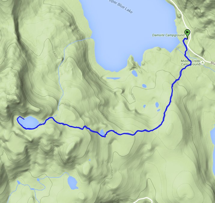
| Start Coordinates: | N 38 37.751, W 119 56.345 | End Coordinates: | Same as Start Coordinates | ||
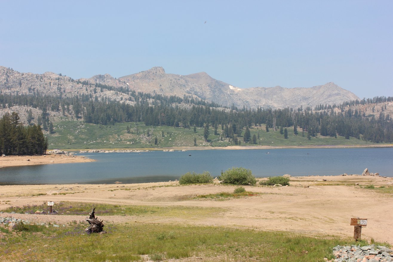
| Car Shuttle Req'd: | No | Parking Directions: | Take Highway 88 to Blue Lakes road and turn south. Follow the road for a little more than 13 miles to the parking area on the left between the two lakes. After 11 1/2 miles the road turns to the north, and becomes dirt for the last few miles. Park in the dirt lot near the dam for Upper Blue Lake. | ||
| Hazards of Note: | Bears, mosquitos at Granite
Lake. |
Crowd Factor: | Moderate. | ||
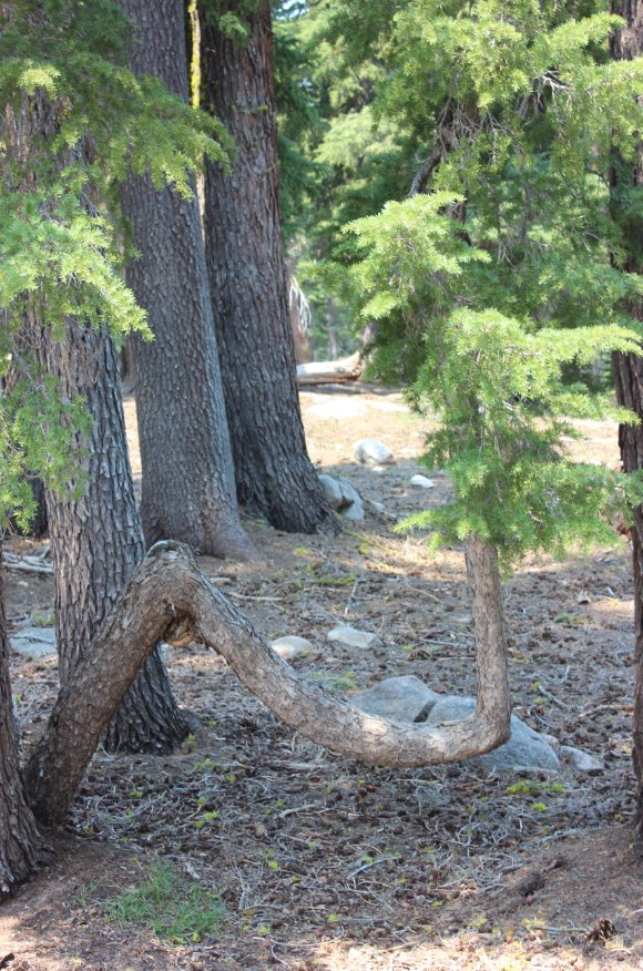
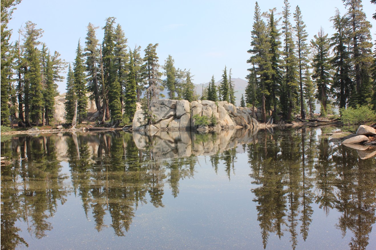
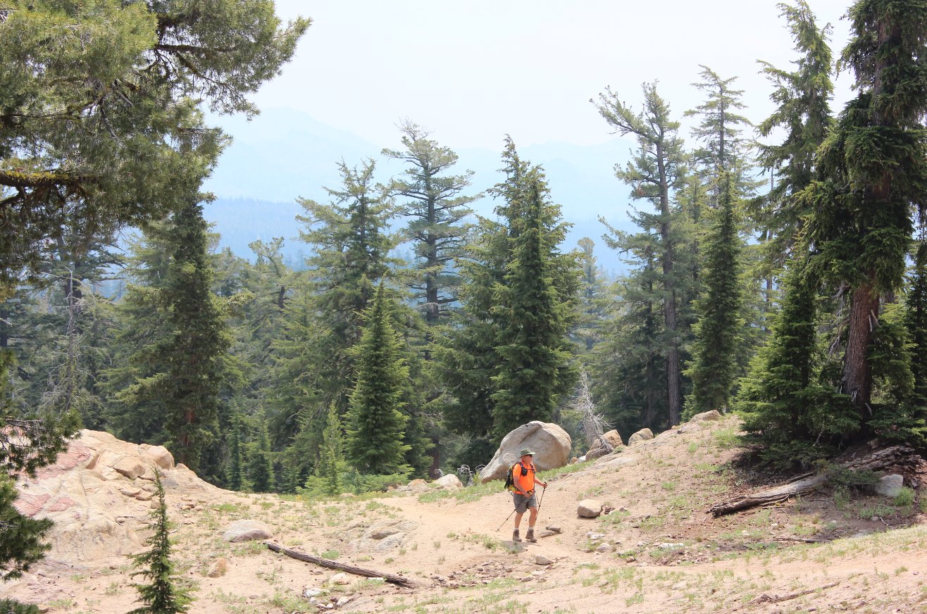
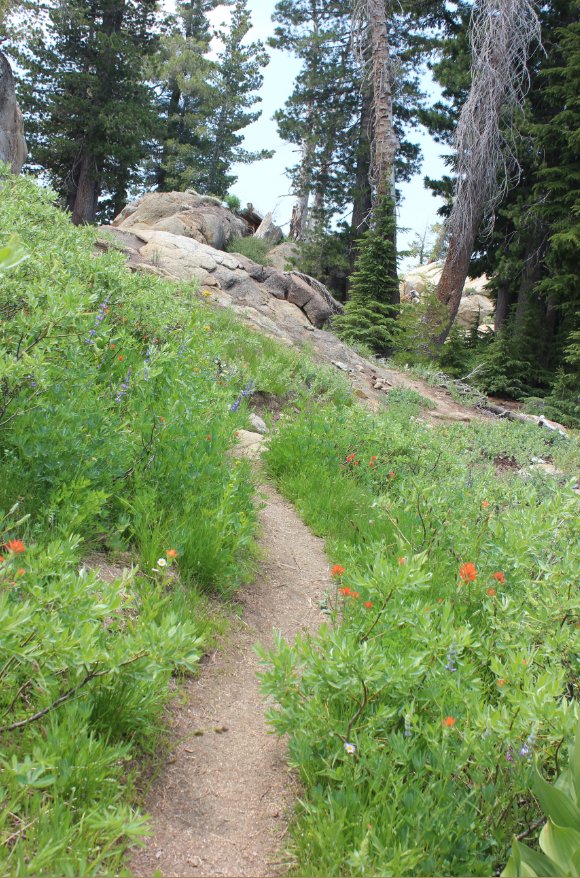
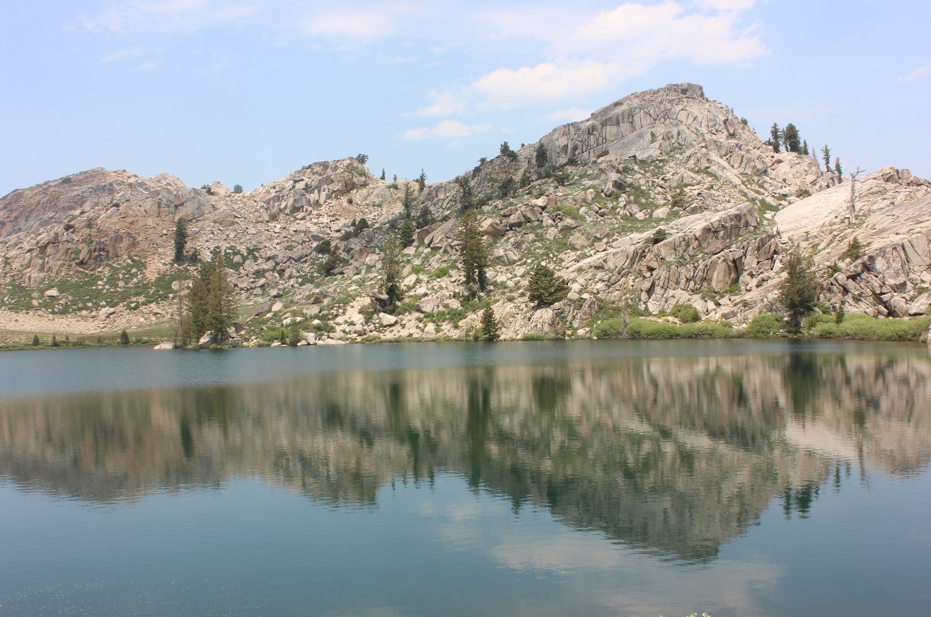
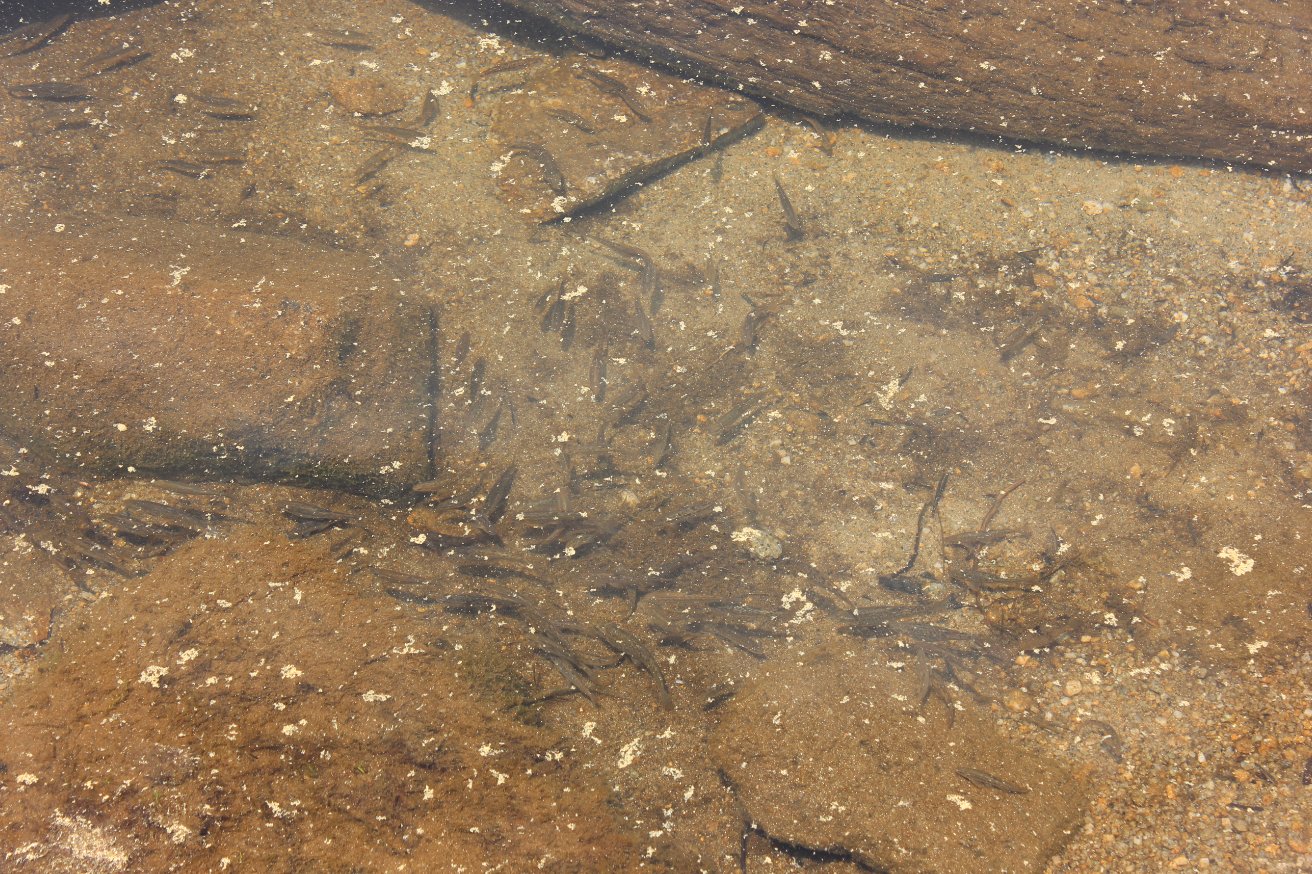
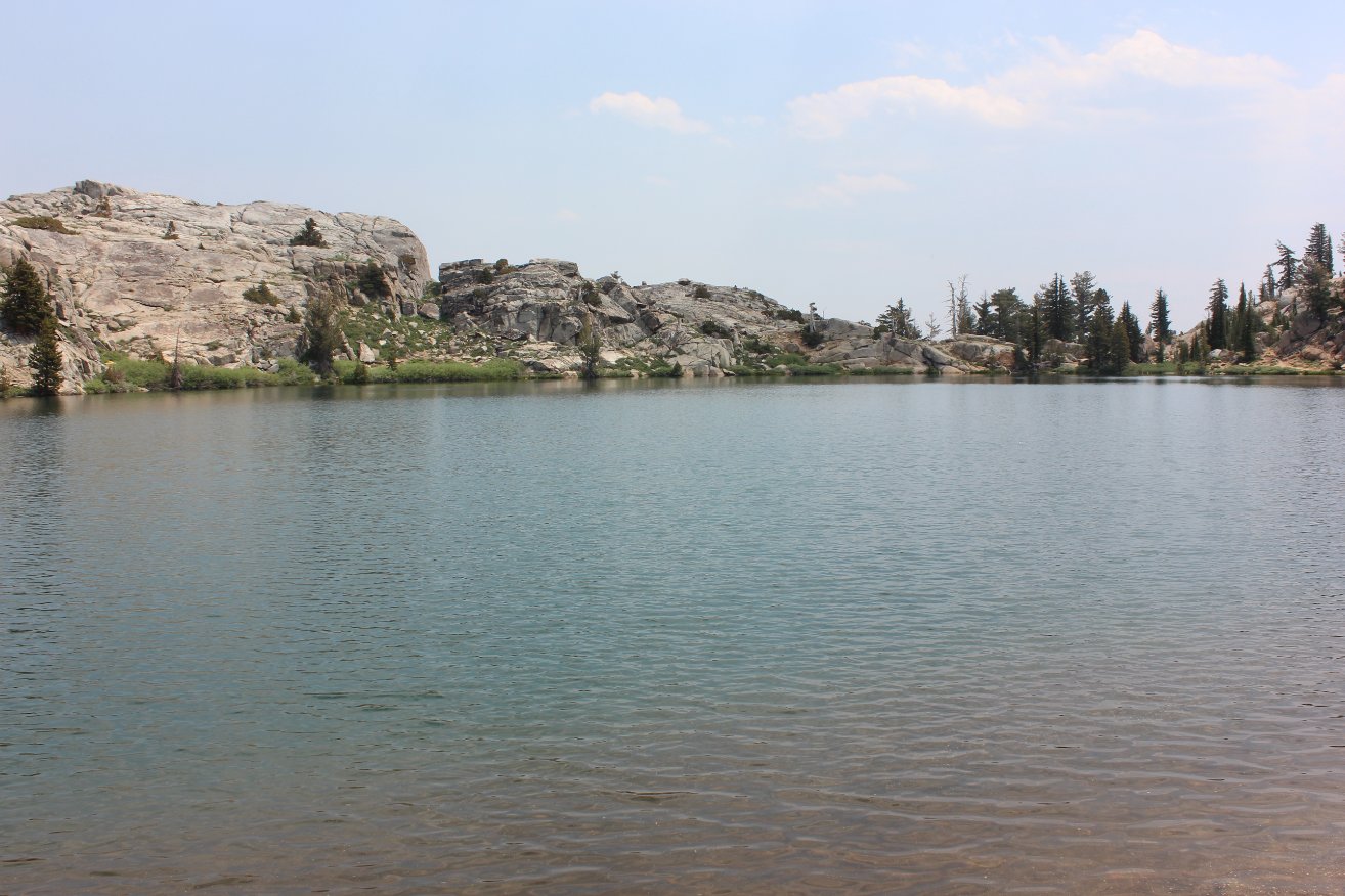
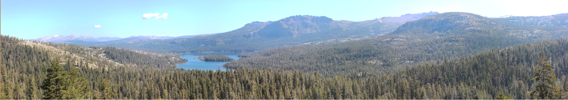
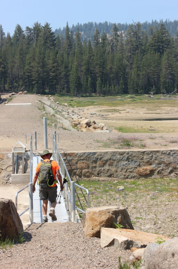
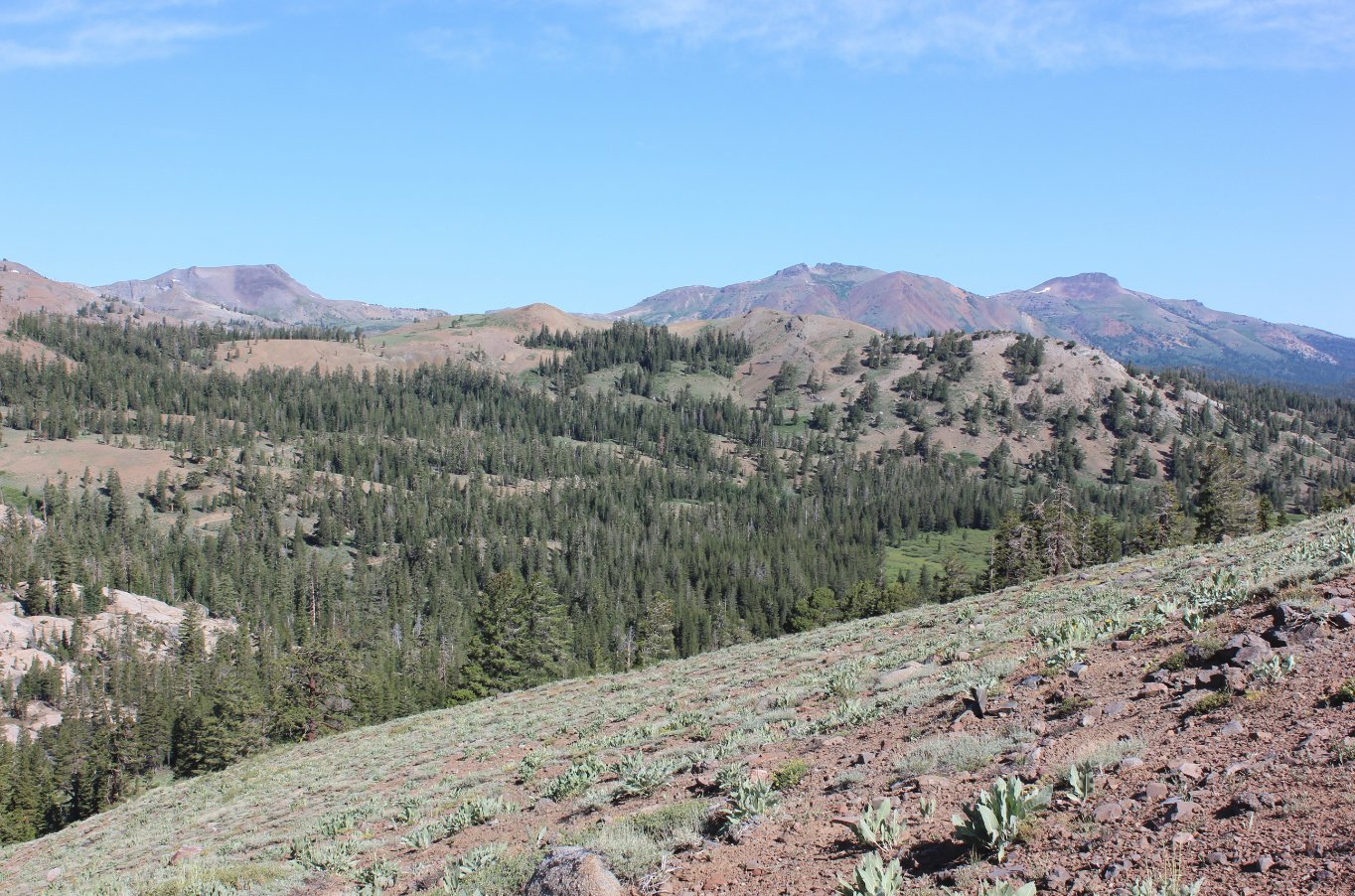
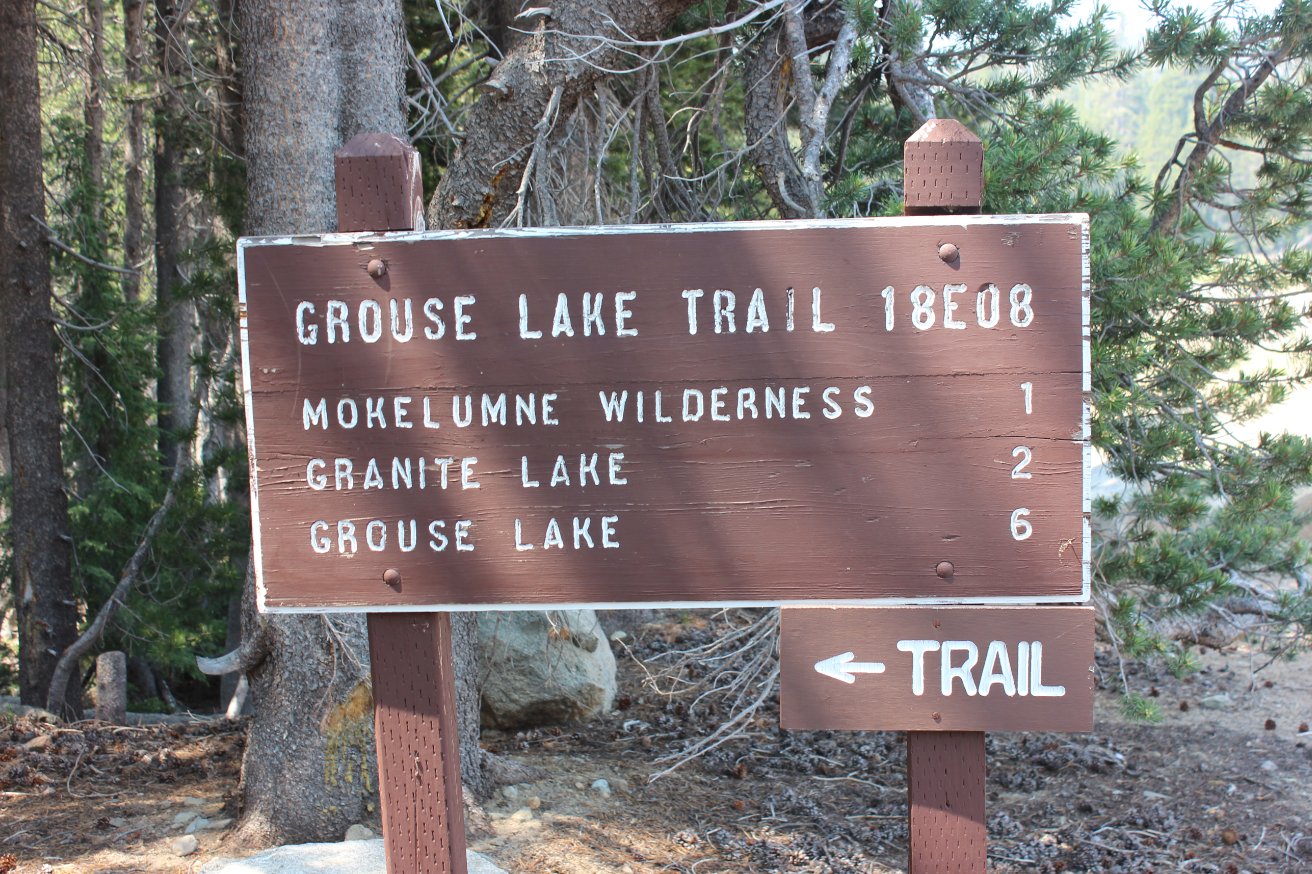
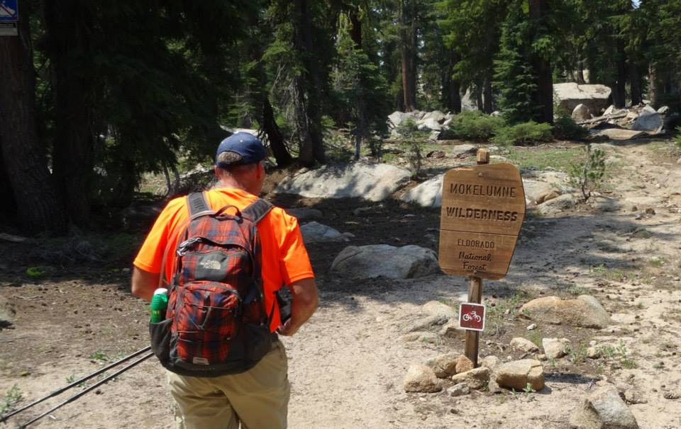
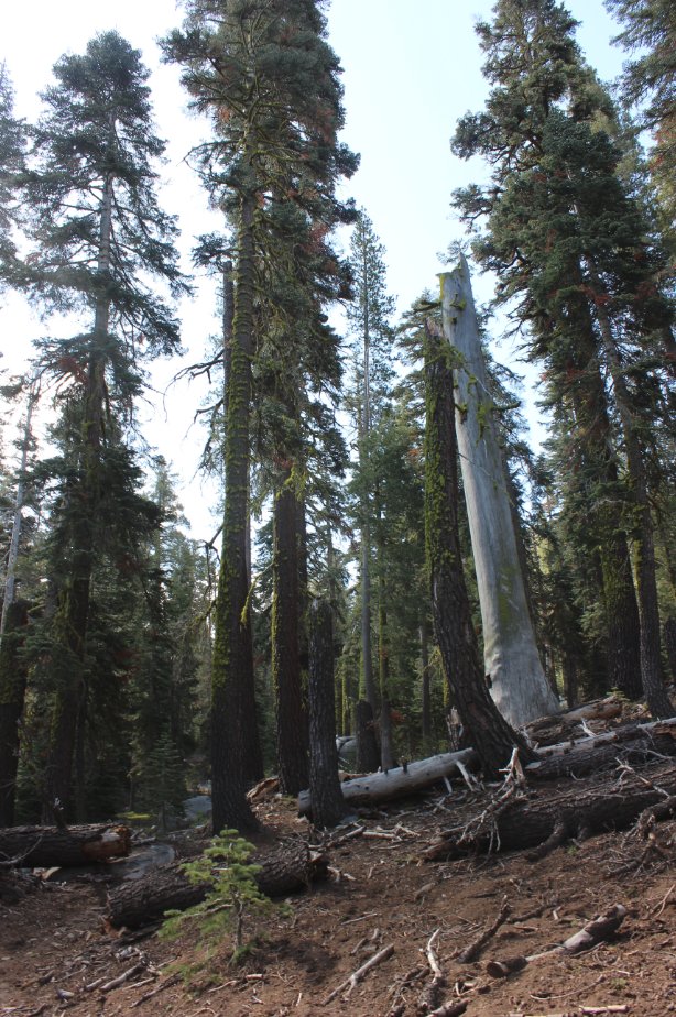
| General Notes: From the parking area you will immediately cross over a metal bridge, spanning the overflow for the Upper Blue Lake. Soon after you will see a sign for the start of the trail, pointing you off to the left through a forested area. There is a water crossing over a log fairly soon in the hike, but it is easy and has been well traversed. The trail turns to the left again after this point, and continues through the forested area. After about a mile you will pass a small, unnamed lake on the right side of the trail, and then start a gradual climb of about 300' over the next mile to Granite Lake. The trail passes along the south end of Granite Lake within inches of the water, you can continue clockwise around the lake to a nice fishing or overlook spot on the north side of the lake across from the trail. |
|||||
