
|
Granite
Chief & Shirley Canyon Hike
|
|
Trip Date: 09/23/2016
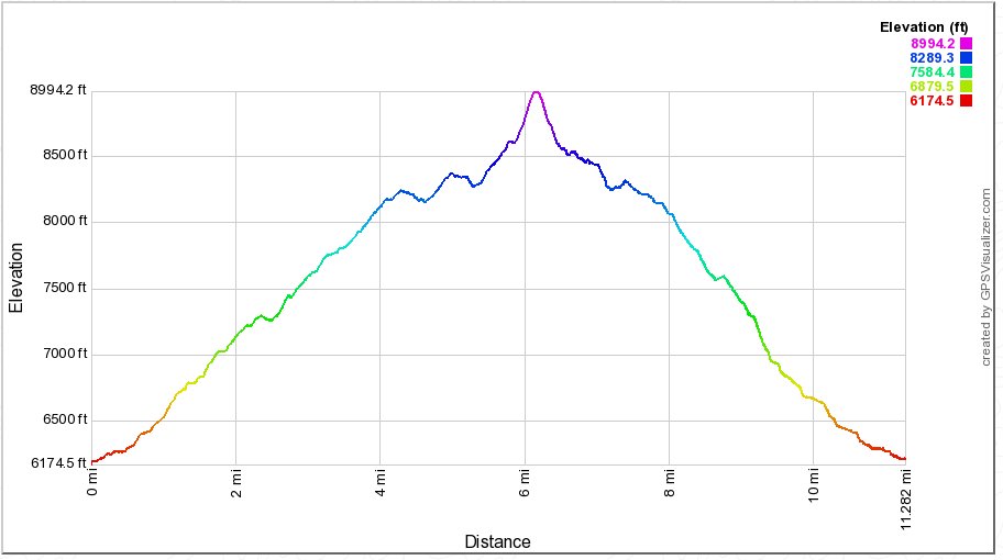
Distance: 12.0 Miles
Vertical Gain:
1730'
Group Size:
2
Hike Rating: Easy
Moderate
Hard
Strenuous |
 See
video of hike
 GPX
for
this trip GPX
for
this trip
|
|
|
Start Coordinates: |
N 39 11.929 W 120
14.093 |
|
End Coordinates: |
Same as starting coordinates |
| Car Shuttle
Req'd: |
No |
|
Parking
Directions: |
Take
Highway 89 south from Truckee. Turn right on Squaw Valley
Road.
The parking area is just before the actual Olympic Village
area.
Pull into the turnout on the right at the coordinates listed
in
this section under Start Coordinates. Trailhead begins here
and
runs behind a building at the start. Update: As
of 2016 this pullout is marked as Private Property, so it is better to
park across the road in the main parking area. |
| Hazards of
Note: |
Finding a parking space at the
trailhead if you don't arrive early enough on a weekend.
If you don't head to the right early on the trail, you will find
yourself headed to Shirley Lake. |
|
Crowd Factor: |
Negligible
on the Granite Chief Trail up to the PCT. You will meet a
number
of people on the PCT during the early to middle summer months.
The Shirley Canyon Trail is the most popular trail to the
upper
camp from the valley and will have a number of people on it. |
General Notes:
The
trail out of Squaw Valley up to the Pacific Crest Trail intersection is
a lot of uphill, and you will have to look carefully for the trail in
certain sections. There is a rocky section about 2/3 of the
way
to the PCT that had some spots where the trail seemed to disappear, but
a few moments and rock cairns could be spotted indicating where the
trail was headed.
The
climb to the top of Granite Chief is a rocky scramble with a use trail
to the south and then western side of the peak which leads all the way
to the top up a very steep slope.
During
much of the summer you can hike from Granite Chief down to the tram
station at the upper section of Squaw Valley and ride the tram down for
no charge. During the fall the tram only operates on weekend
days, and only if there are not high winds or lightning.
The
Shirley Canyon trail is marked with paint for those heading up from the
valley, and not as well for those heading down from the top.
Going this direction the trail is reasonably well defined
until a
rocky section about halfway through, which lasts for over a mile and
can be exceptionally difficult to follow.
|
|
|
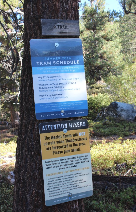
Once the
trailhead is identified, early along the trail is a schedule for hikers
indicating when the tram is running for those wishing to cut a few
miles off the hike on the way back down. |
 |
|
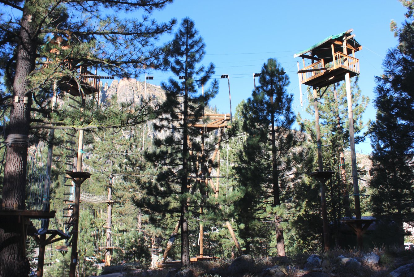
The Granite Chief trail passes
by a ropes obsticle course which was added since a previous hike in the
area in 2013. |
 |
|
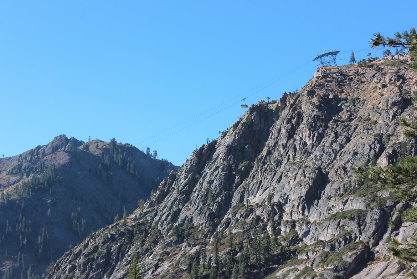
A look up
at the Squaw Valley gondola, which is available during summers and fall
weekends for hikers who wish to catch a free ride back down to the
valley from High Camp. |
 |
|
The
Granite Chief trail heads up the north side of the Squaw Valley canyon,
and when the trees open up every so often there are fantastic views to
the south of the main ski slopes at the resort. |
 |
|
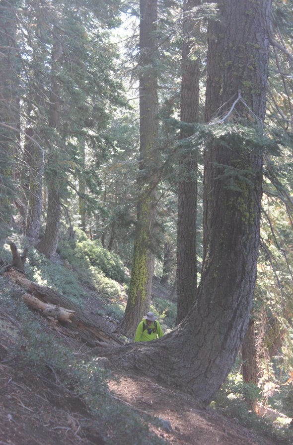
The open
sections of the Granite Chief trail often head into a forested section
as the trail makes it's way 3+ miles up from the valley floor toward an
intersection with the Pacific Crest Trail. |
 |
|
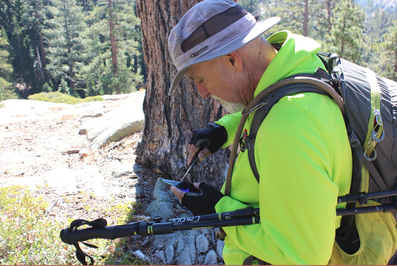
My hiking partner, Mark, doing
some glasses repair work along the trail. |
 |
|
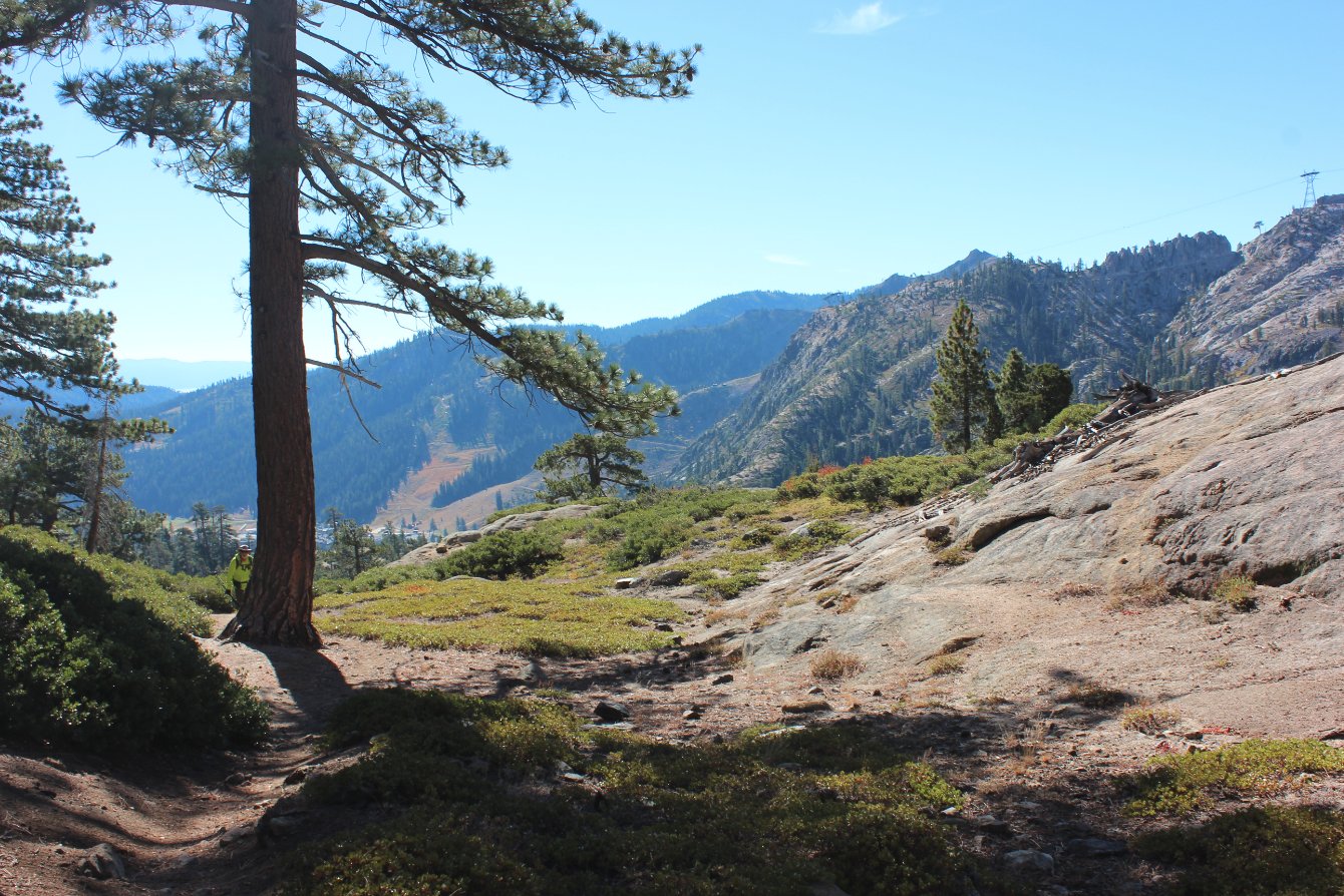
It is worth the frequent
temptation to leave the trail and head over to the overlooks of the
valley far below. |
 |
|
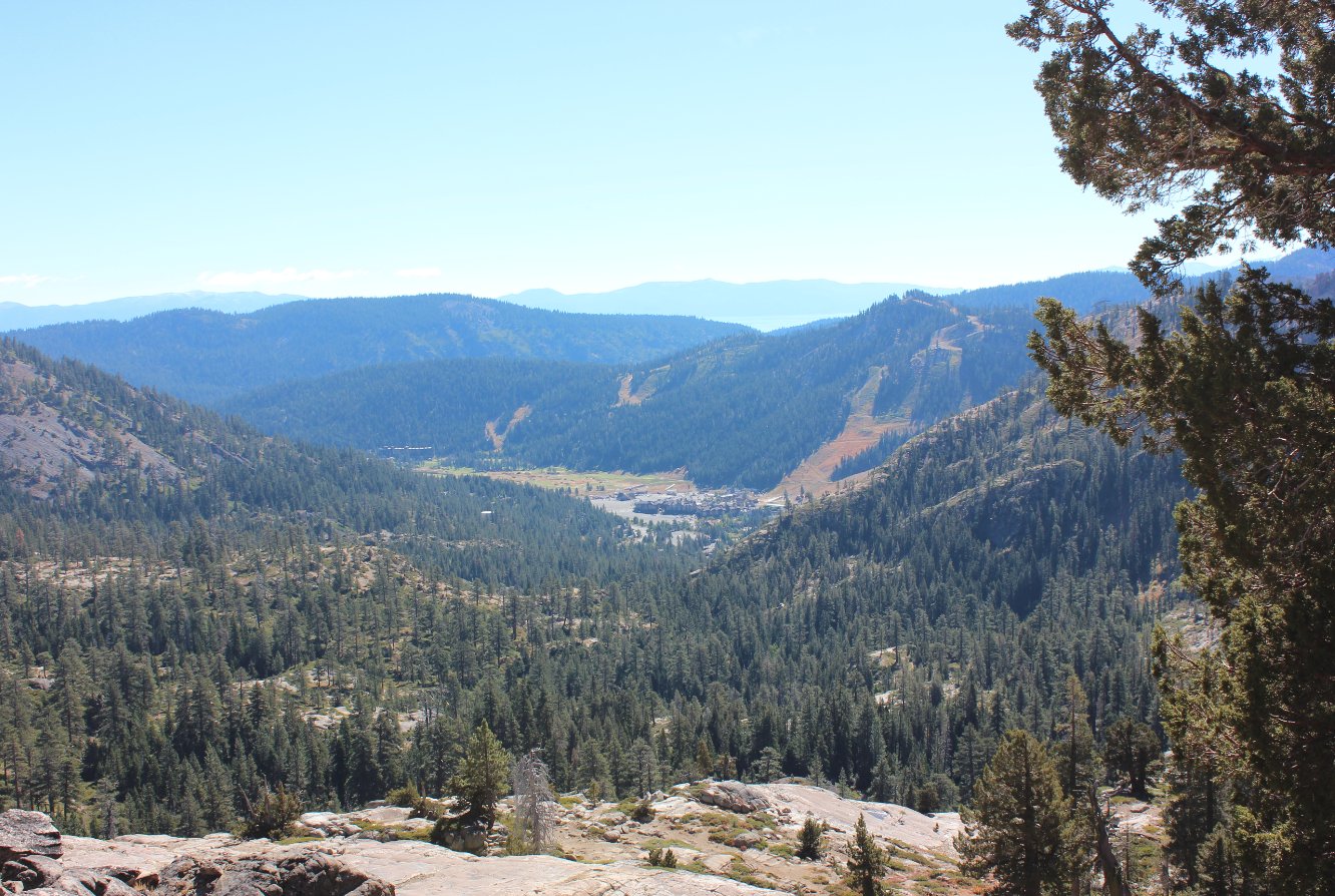
As
mentioned, the views down to the valley floor are great, and show how
far the trail has taken you from the start way below. |
 |
|
A sign at
the trail junction with the PCT indicates the various directions and
destinations from this point. This trip will head up toward
Granite Chief Peak. |
 |
|
Mark headed up some of the
ever opening trail along the PCT section heading south. |

|
|
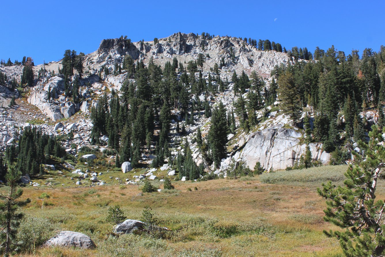
Looking up at our destination
peak of Granite Chief from a meadow on the lower eastern side.
|
 |
|
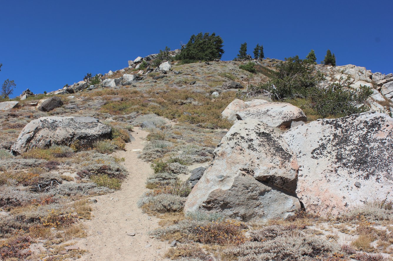
Following
a use trail to the south of the peak and then up the western side, you
will soon reach the summit after a steep trek to the top. |
 |
|
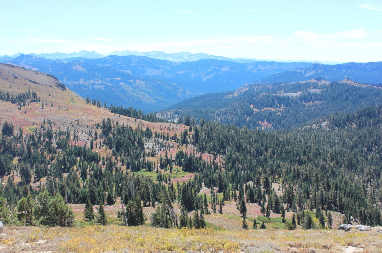
Looking south from the peak
toward Desolation Wilderness in the distance. |
 |
|
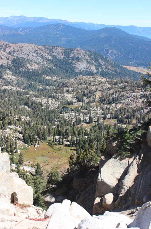
Looking back down toward the
meadow below the peak, as well as Shirley Lake and Canyon past it to
the east. |
 |
|
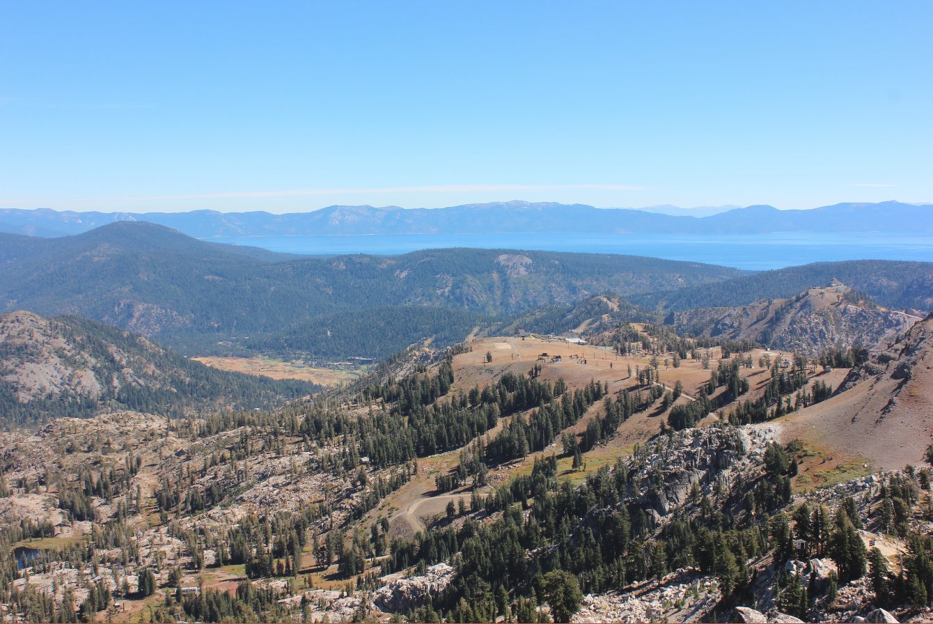
Spectacular views from the
peak extend all the way to Lake Tahoe and the Nevada Mountains on the
far side of the lake. |
 |
|
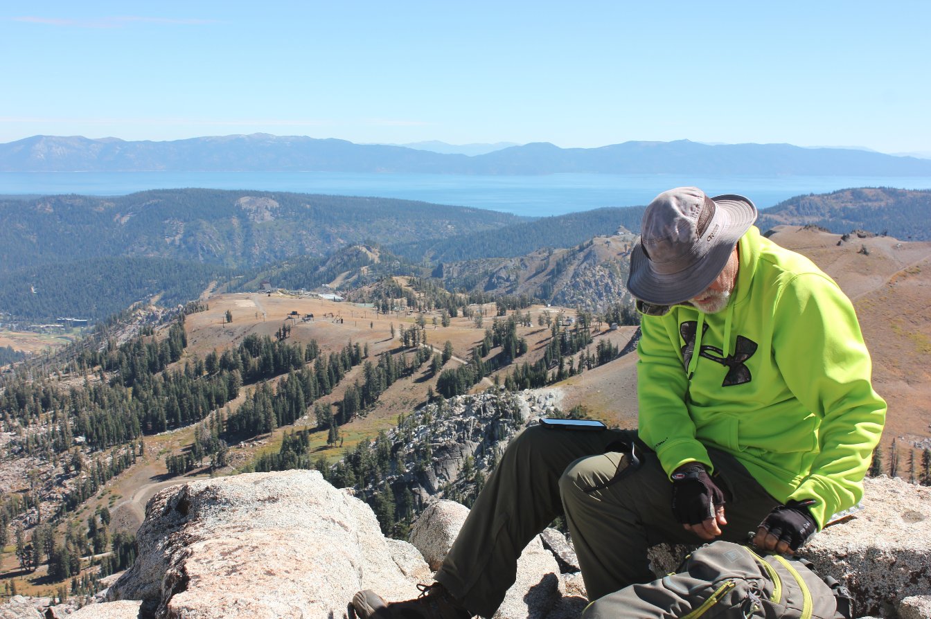
Mark enjoying lunch at the
peak with Tahoe in the distance. |
 |
|
Through
the telephoto lens the High Camp gondola and buildings are clearly
visible, including the olympic rings and ice skating rink. |
 |
|
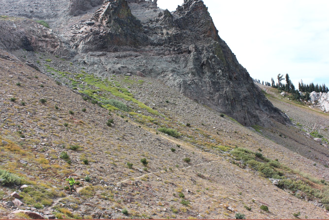
Heading down to High Camp from
the peak the trail cuts right along the side of a black diamond ski
slope. |
 |
|
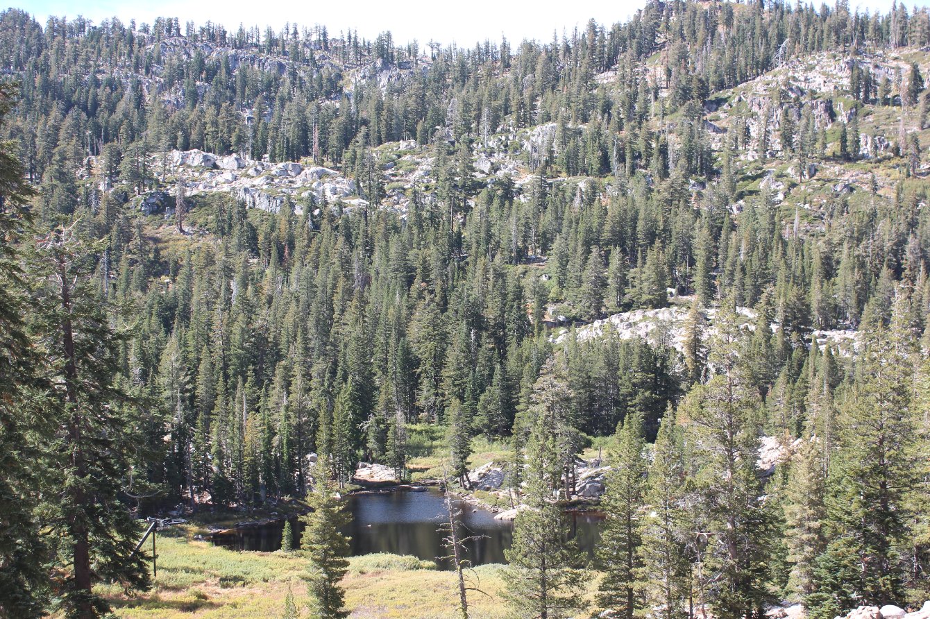
Heading back down to the
valley on the Shirley Canyon trail takes you right by Shirley Lake. |
 |
|
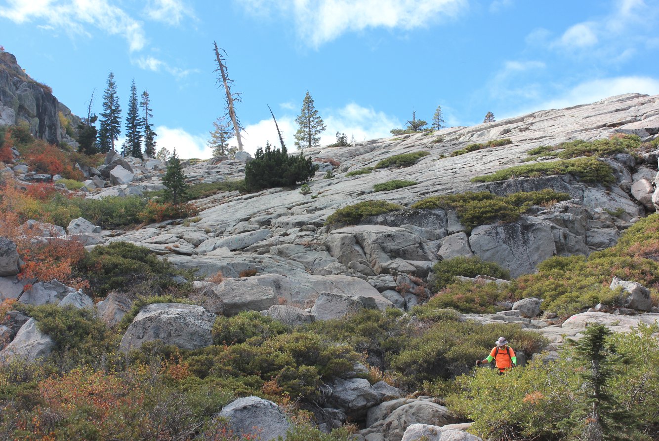
The
Shirley Canyon "Trail" for a mile or so requires looking for paint
marks on the rocks to show you the way. Unfortunately, they
are
mostly painted for those heading up the canyon and require a sharp eye
on the way down. |
 |
|
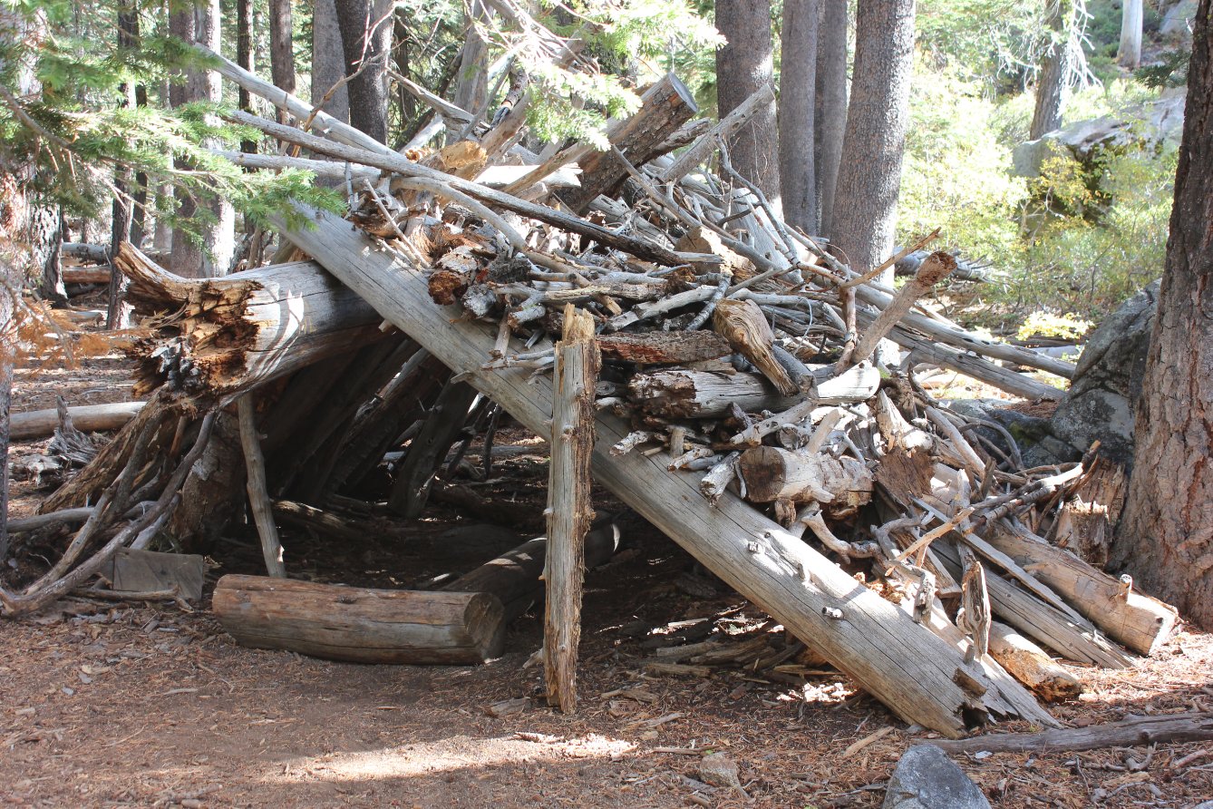
A very unusual structure
located just off the trail a couple miles from the end of the Shirley
Canyon trail. |
 |
|
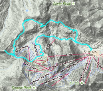
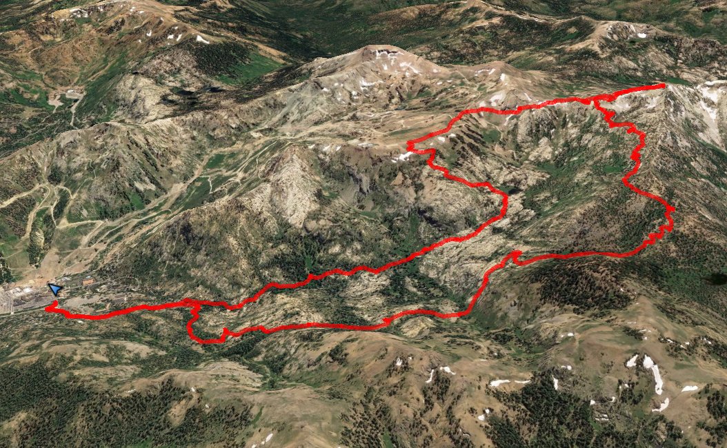
GPX image of the hike. |
|


 See
video of hike
 GPX
for
this trip

