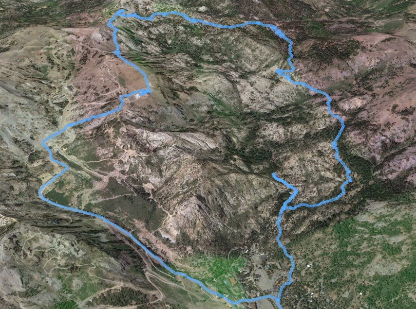
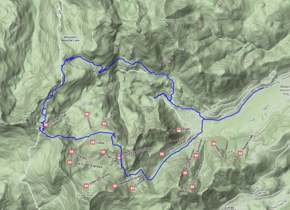
Distance: 10.5 Miles
Vertical Gain: 2400'
Group Size: 1
Hike Rating: Easy Moderate Hard Strenuous
 GPX for
this trip
GPX for
this trip

| Start Coordinates: | N 39 11.929 W 120 14.093 | End Coordinates: | Same as Start Coordinates | ||
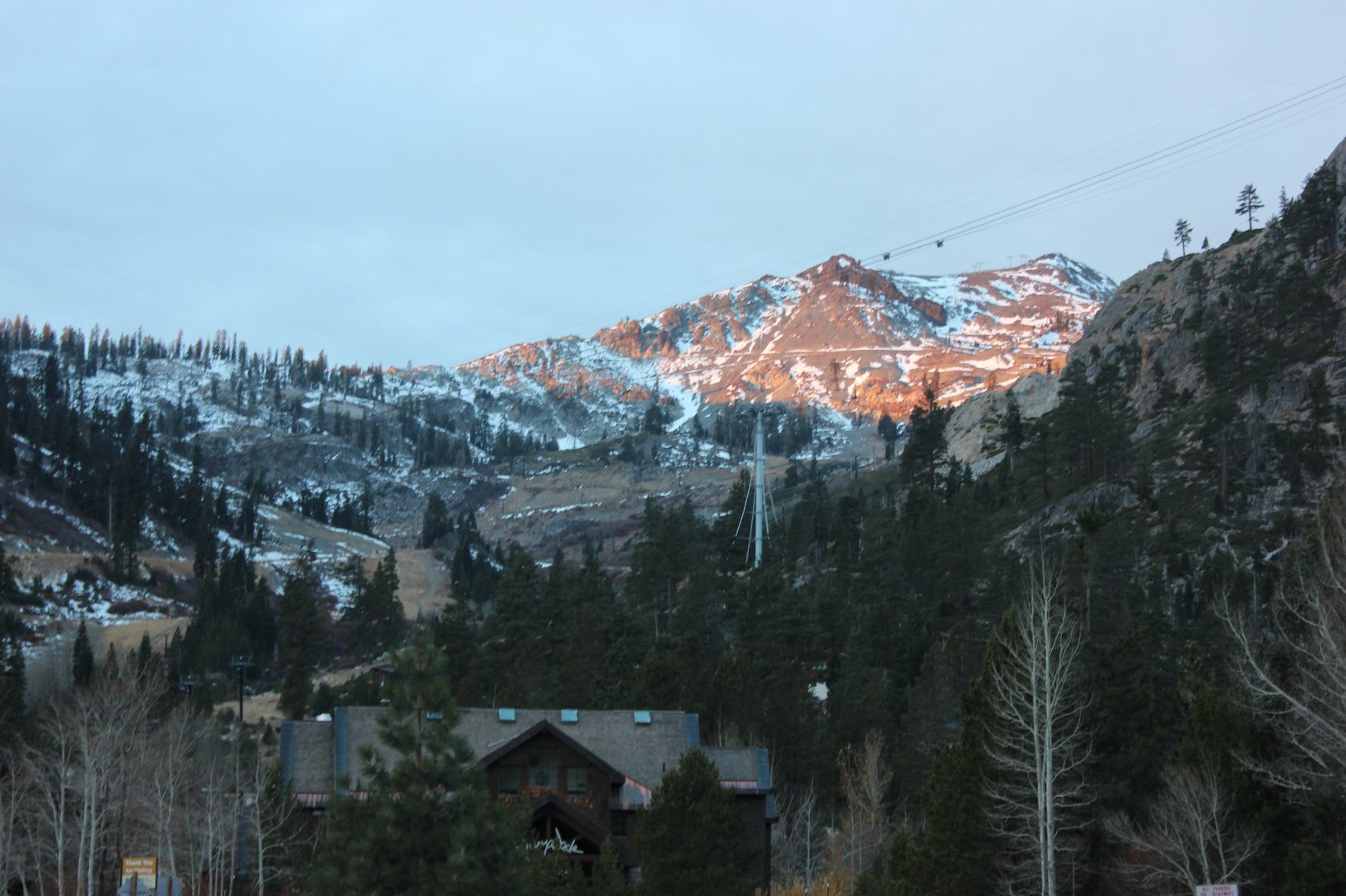
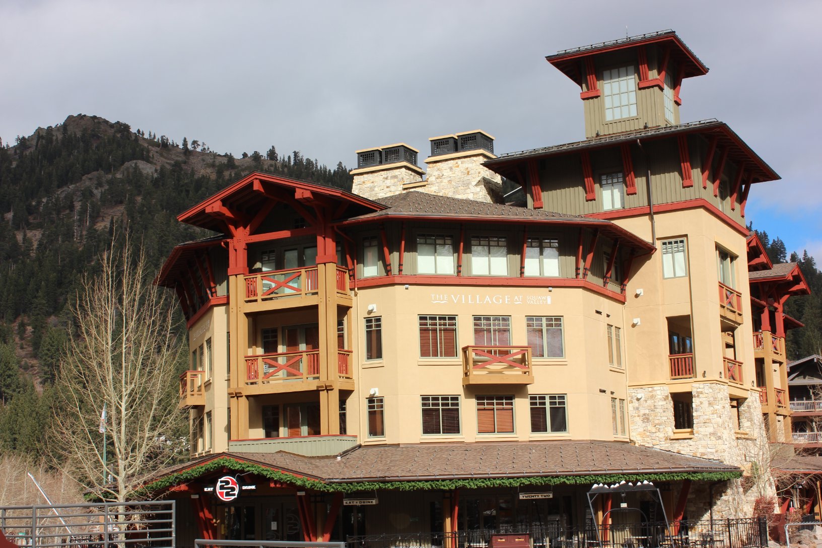
| Car Shuttle Req'd: | No | Parking Directions: | Take Highway 89 south from Truckee. Turn right on Squaw Valley Road. The parking area is just before the actual Olympic Village area. Pull into the turnout on the right at the coordinates listed in this section under Start Coordinates. Trailhead begins here and runs behind a building at the start. Update: As of 2016 this pullout is marked as Private Property, so it is better to park across the road in the main parking area. | ||
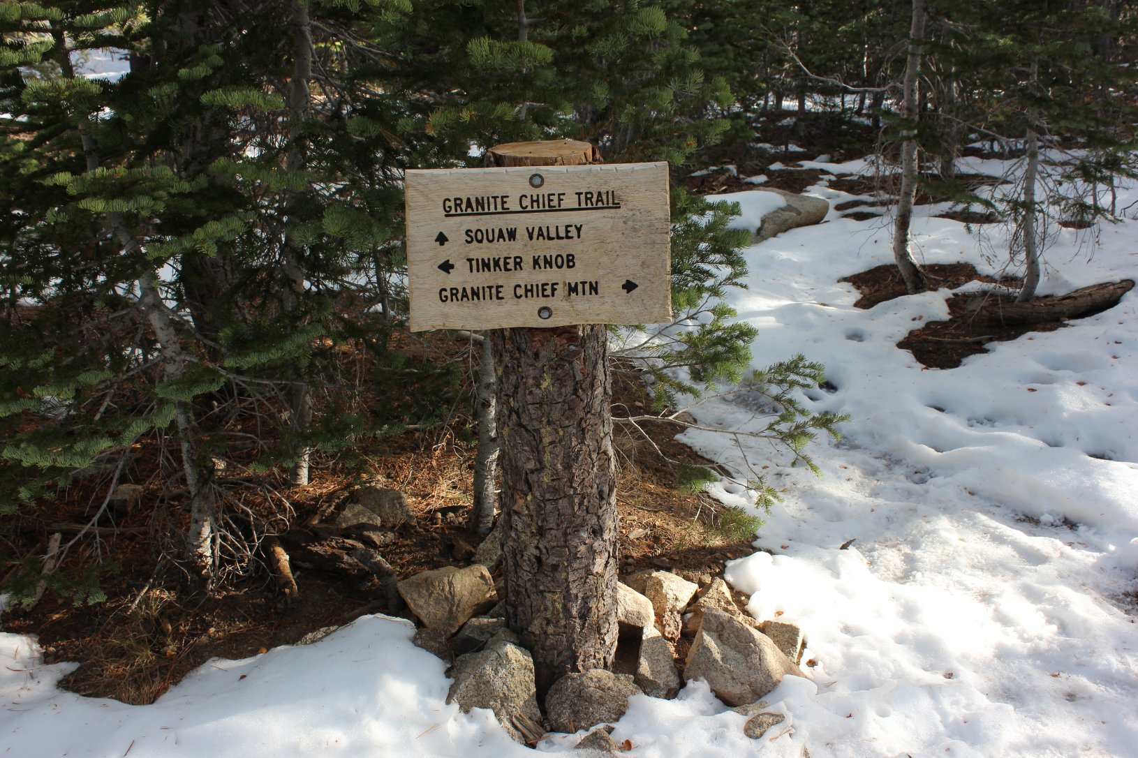
| Hazards of Note: | Finding a parking space at the
trailhead if you don't arrive early enough on a weekend. If you don't head to the right early on the trail, you will find yourself headed to Shirley Lake. |
Crowd Factor: | Few
other people on this trail out of the valley. Some people
will
take this trail and veer left to Shirley Lake, but continuing on to the
Pacific Crest Trail to then head up to Granite Chief will leave most of
them behind. You will most likely run into some through hikers on the PCT, depending upon the time of the year. |
||
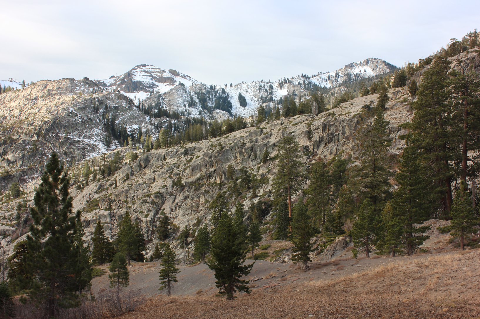
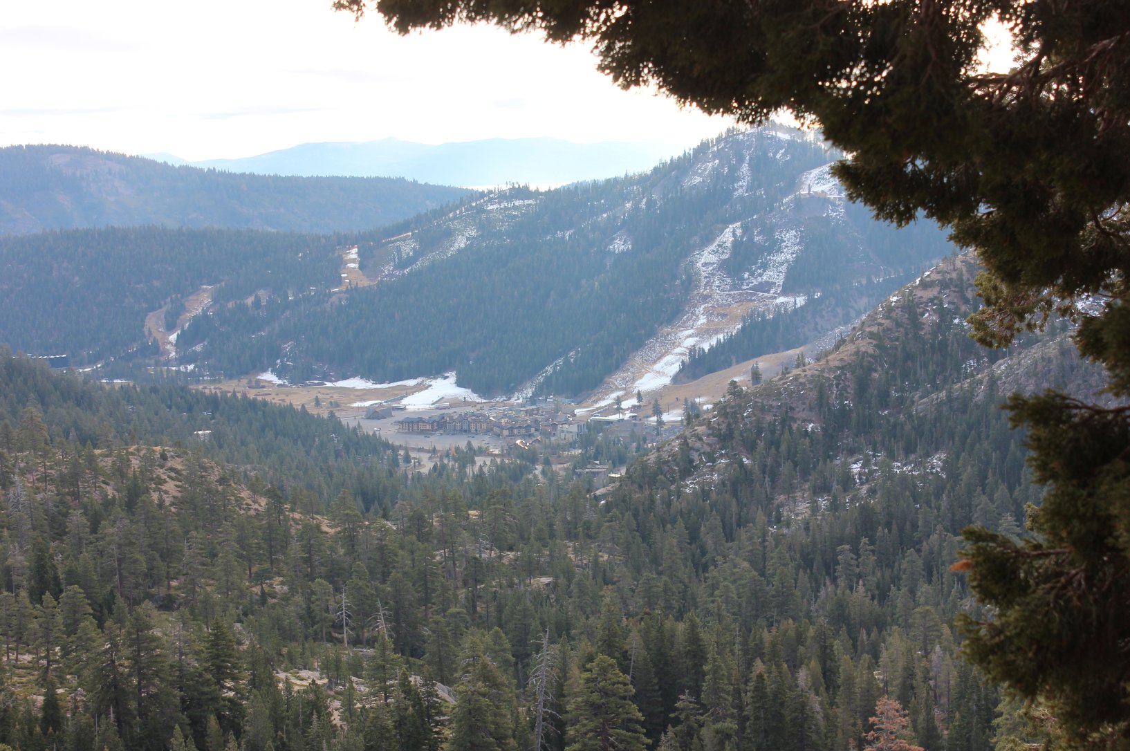
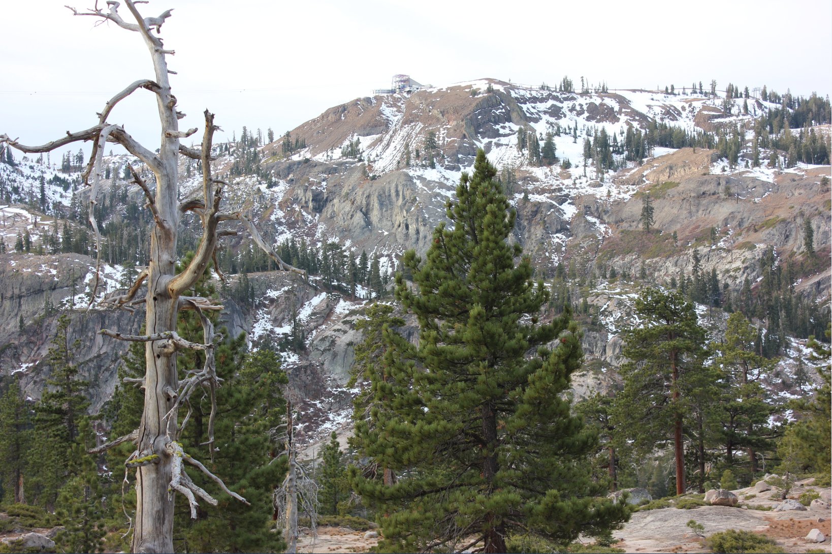
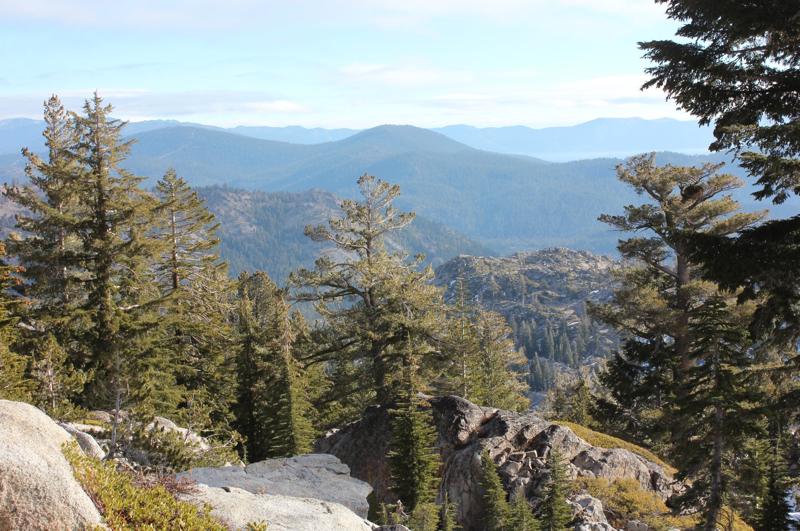
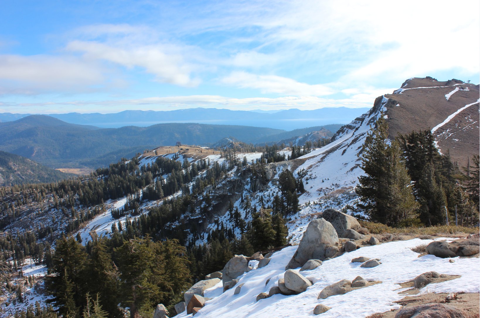
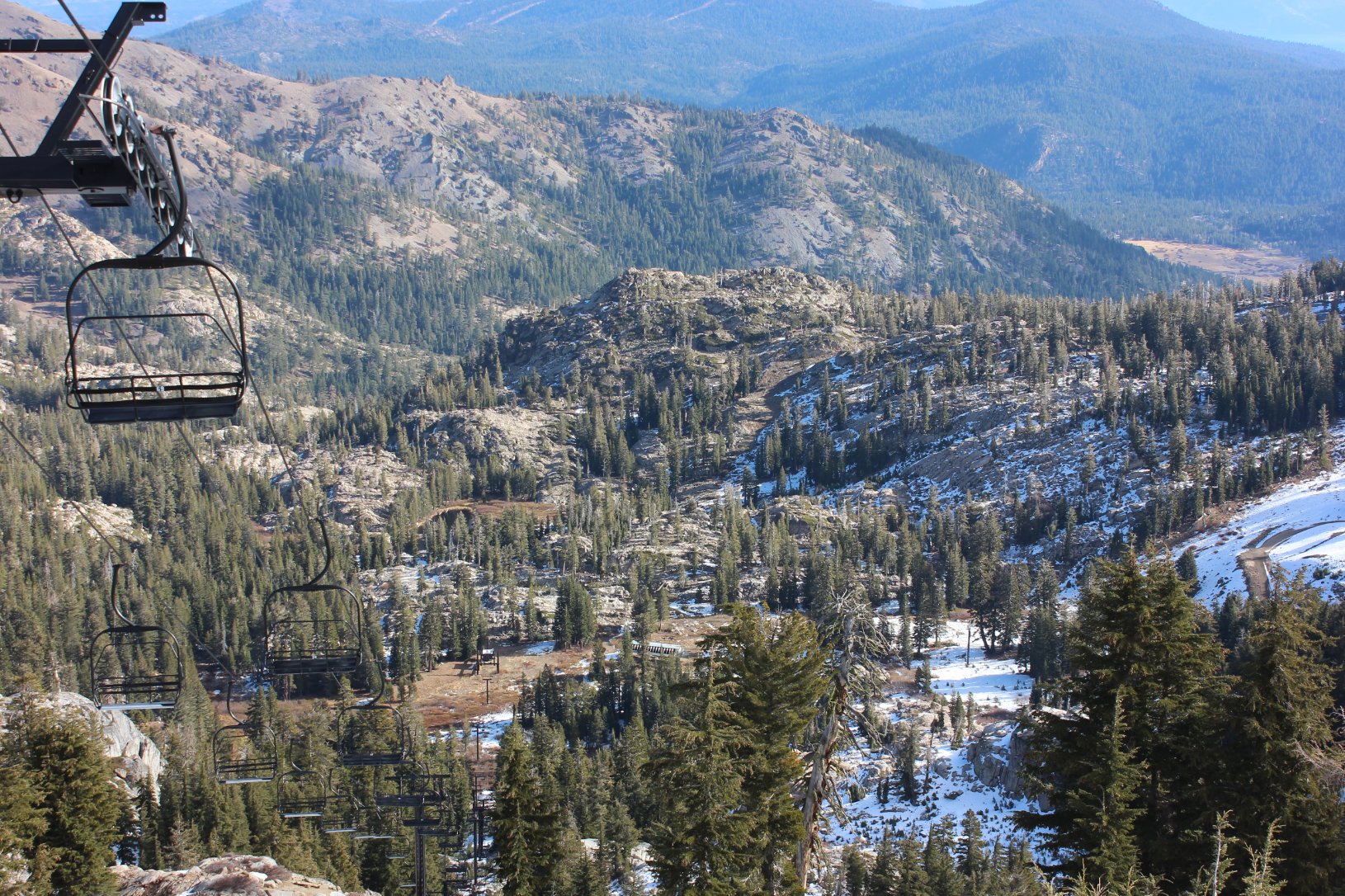
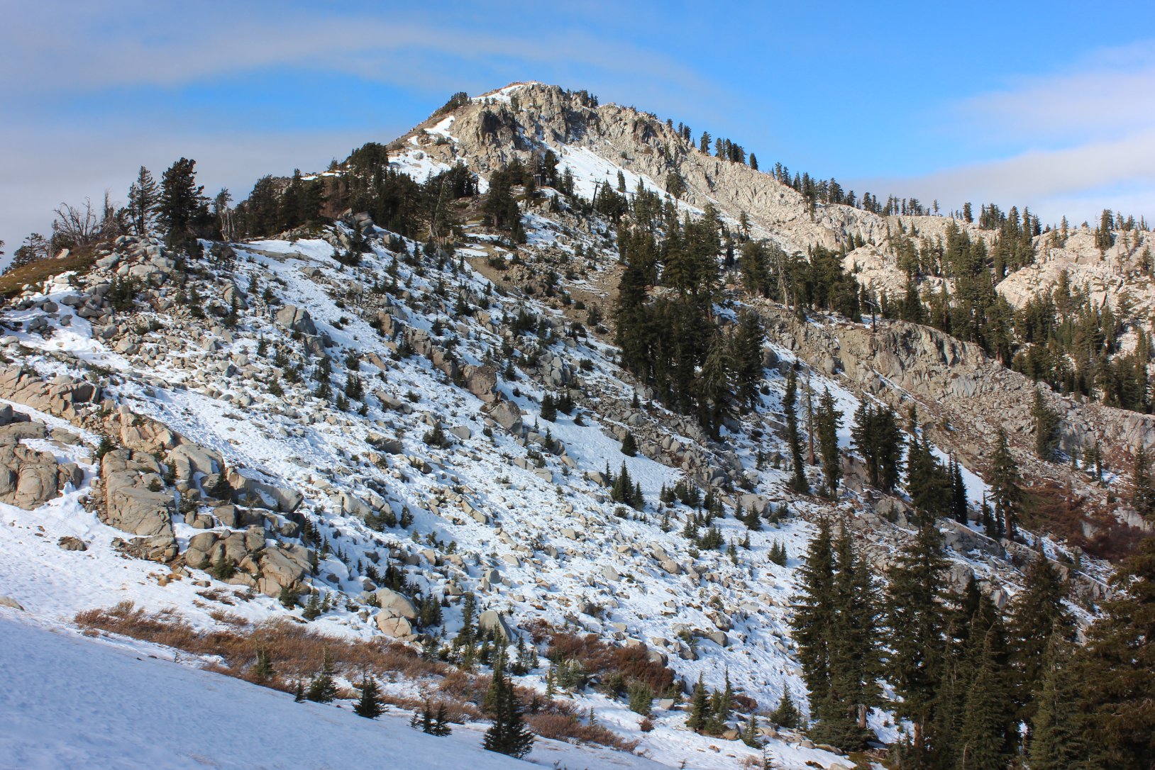
| General Notes: The trail out of Squaw Valley up to the Pacific Crest Trail intersection is a lot of uphill, and you will have to look carefully for the trail in certain sections. There is a rocky section about 2/3 of the way to the PCT that had some spots where the trail seemed to disappear, but a few moments and rock cairns could be spotted indicating where the trail was headed. The climb to the top of Granite Chief is a rocky scramble with no defined pathway to the summit. During much of the summer you can hike from Granite Chief down to the tram station at the upper section of Squaw Valley and ride the tram down for no charge. |
|||||