Distance: 6.5 Miles
Vertical Gain: 1200'
Group Size: 3
Hike Rating: Easy Moderate Hard Strenuous
 GPX
for
this trip
GPX
for
this trip 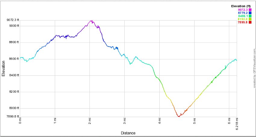
| Start Coordinates: | N 38 41.697 W 119 59.363 | End Coordinates: | Same as Start Coordinates | ||
| Car Shuttle Req'd: | No | Parking Directions: | Take
Highway 88 to the parking area at the Carson Pass ranger station on the
west side of the road. Pay the day use fee (summer only) and
find the trailhead just to the right side (north) of the ranger station
itself. |
||
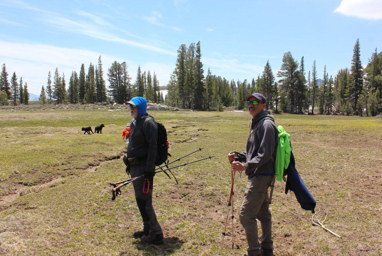
| Hazards of Note: | This hike is rated as Hard due to the amount of cross country travel, route finding required and the significant and steady elevation at the end. | Crowd Factor: | Moderate to Minimal. Once you
leave the trail to head around behind Frog Lake you will run into few
people, then back on the PCT until Elephant's Back there will be some
but then off-trail you will not see anyone until you reach Red Lake. |
||
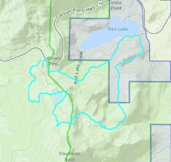
| From
the parking area on the road, head past the Carson Pass
information station building and along the along the Pacific Crest
Trail for about a half mile. As you near Frog Lake leave the
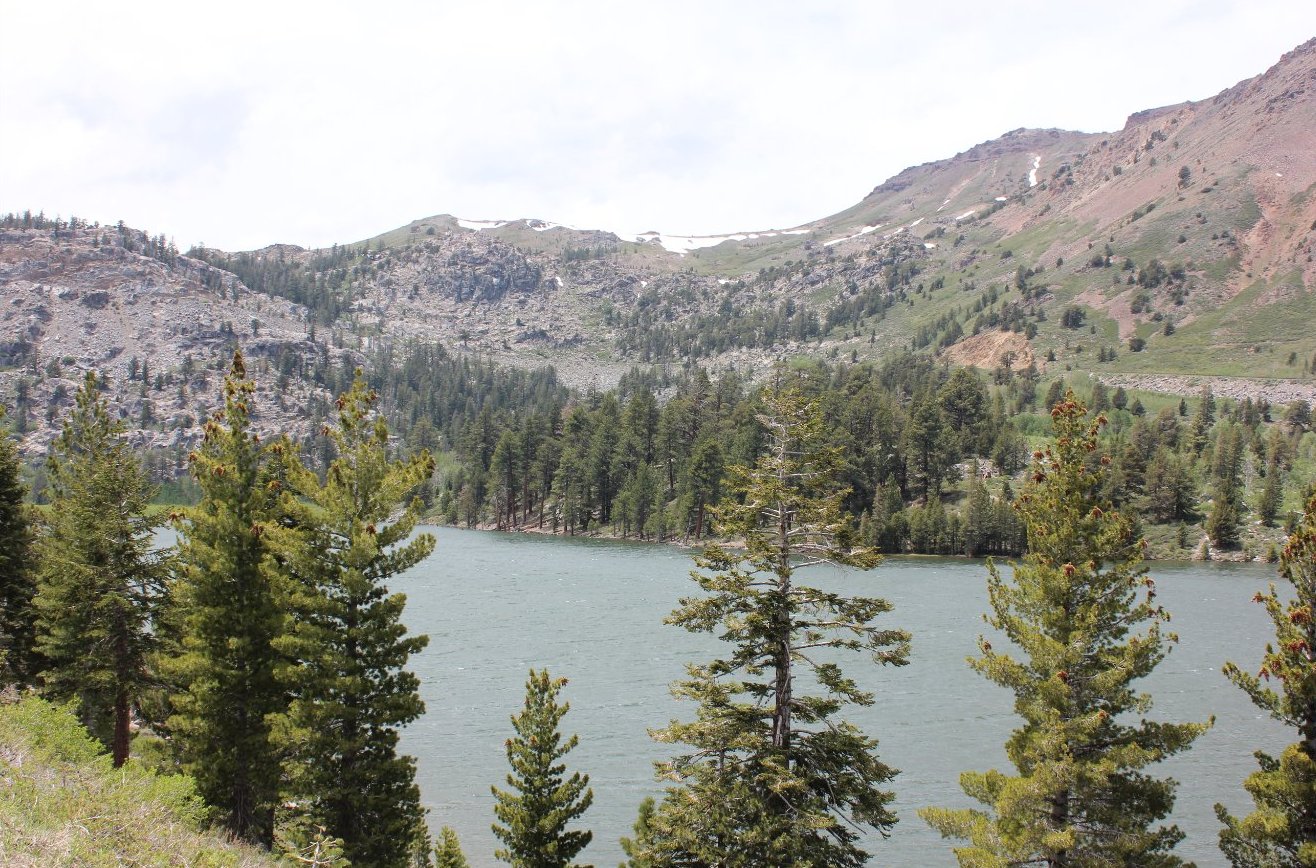
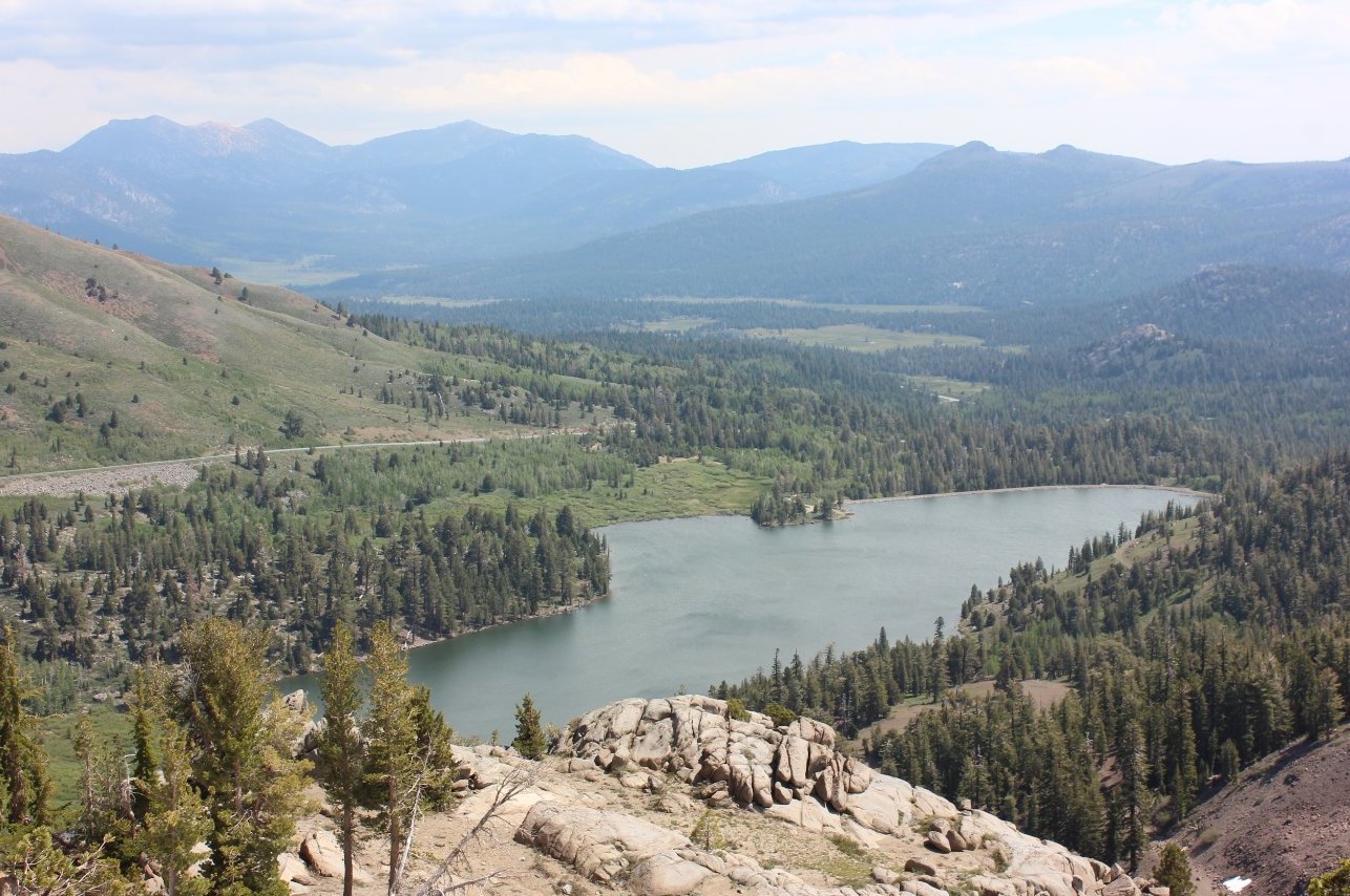
trail heading to the east, and head up the rocky ridgeline until you
spot Frog Lake to the south. Head clockwise around the lake
to the east, and then walk along a use trail on the south shore until
you once again pick up the PCT at a signed junction. Head
along the PCT for the next mile, making sure to tun left at the
junction of the PCT continuation and the trail that continues on toward
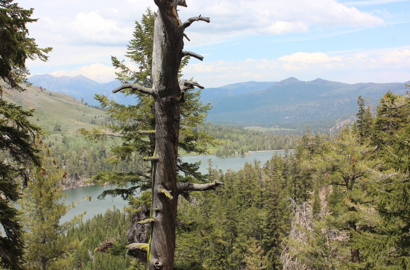
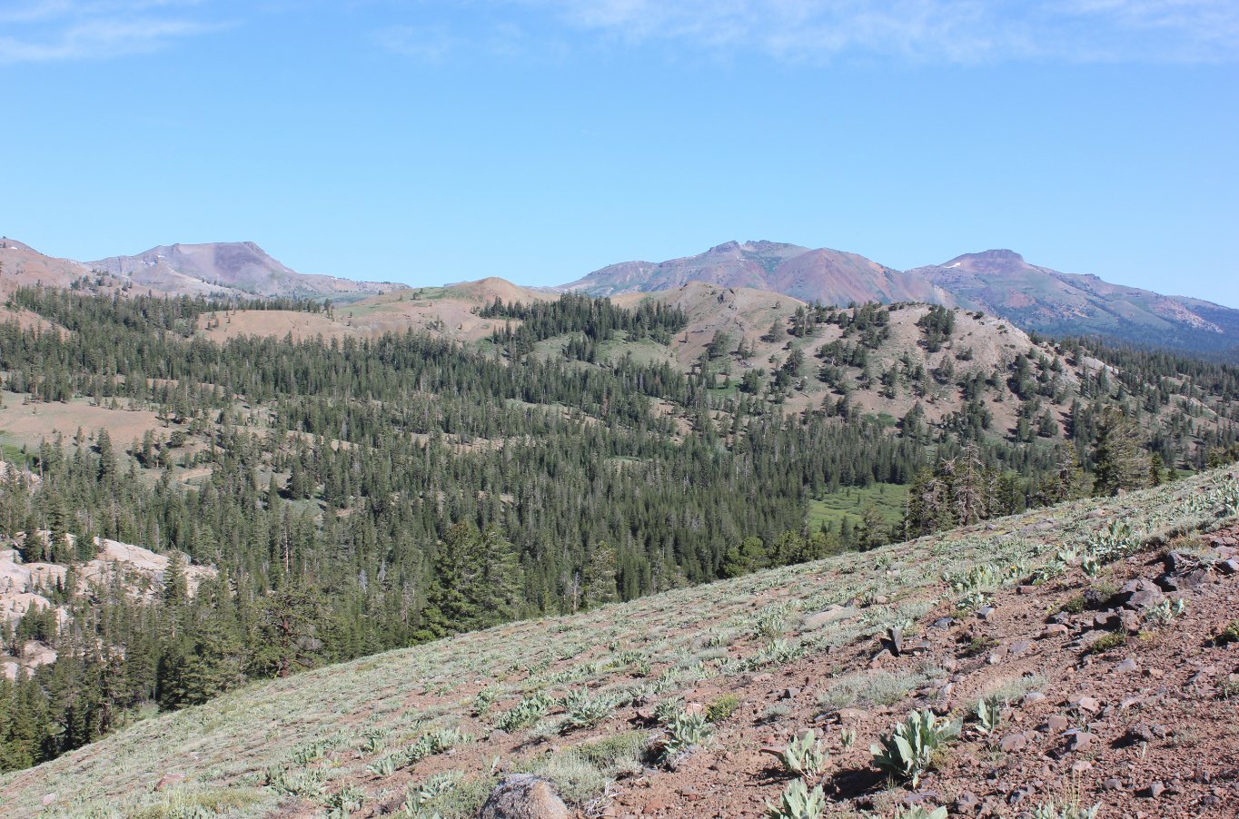
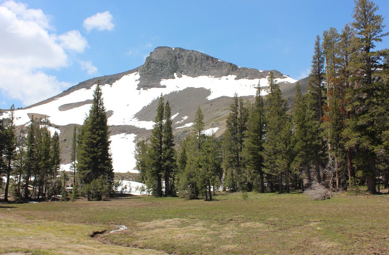
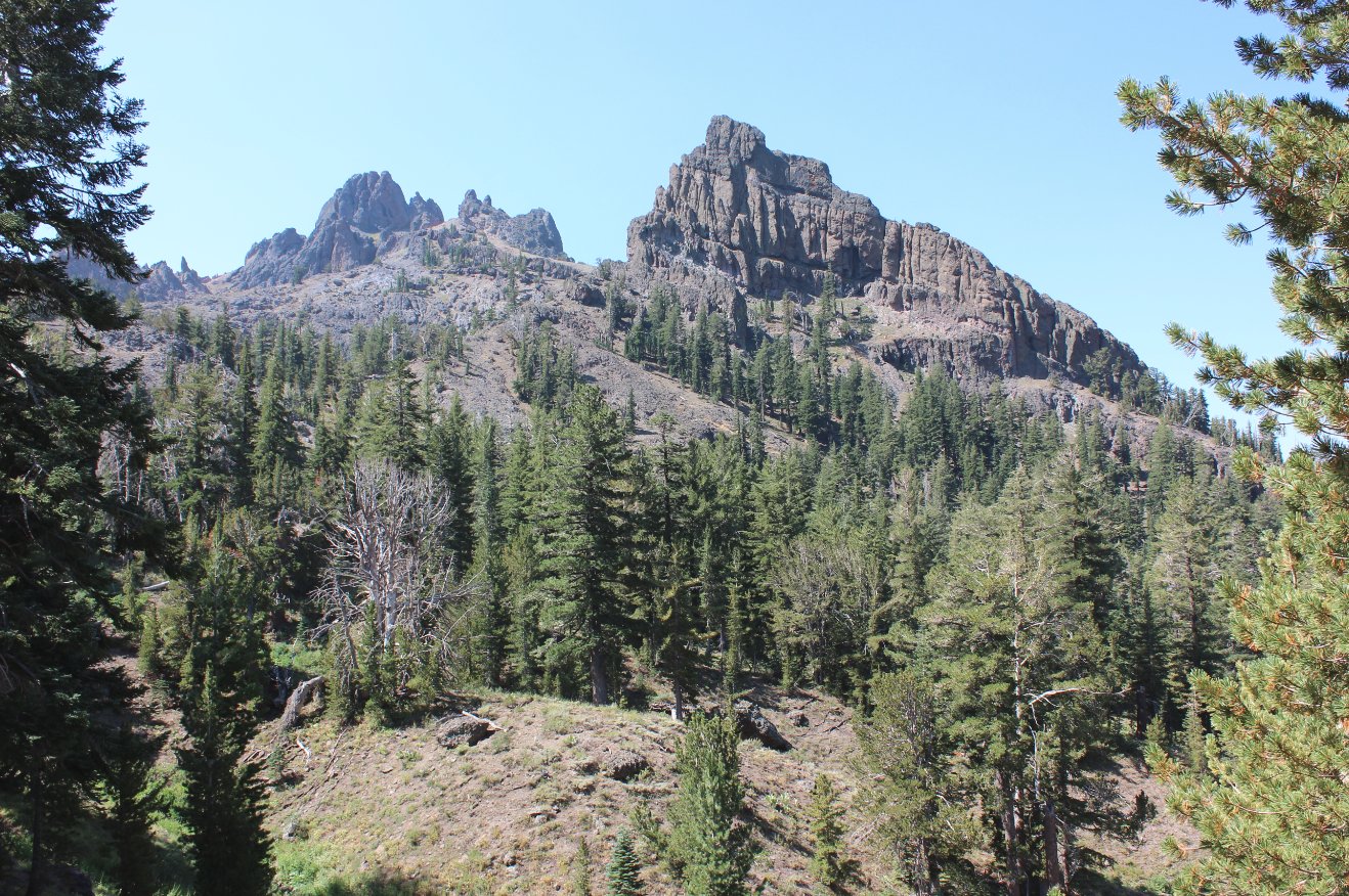
Lake Winnemucca. Once you reach the base of the imposing
Elephant's Back mountain you will leave the trail. From this
point you will need to find a way down into the meadow area to the
south-south-east from this spot, and you will need to choose your way
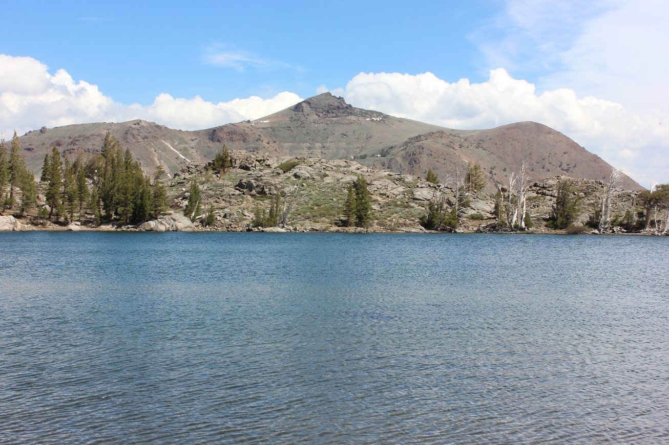
carefully. Once you reach the pleasant meadow with at least
one unnamed lake in it, you will head to the east and then up to a rise
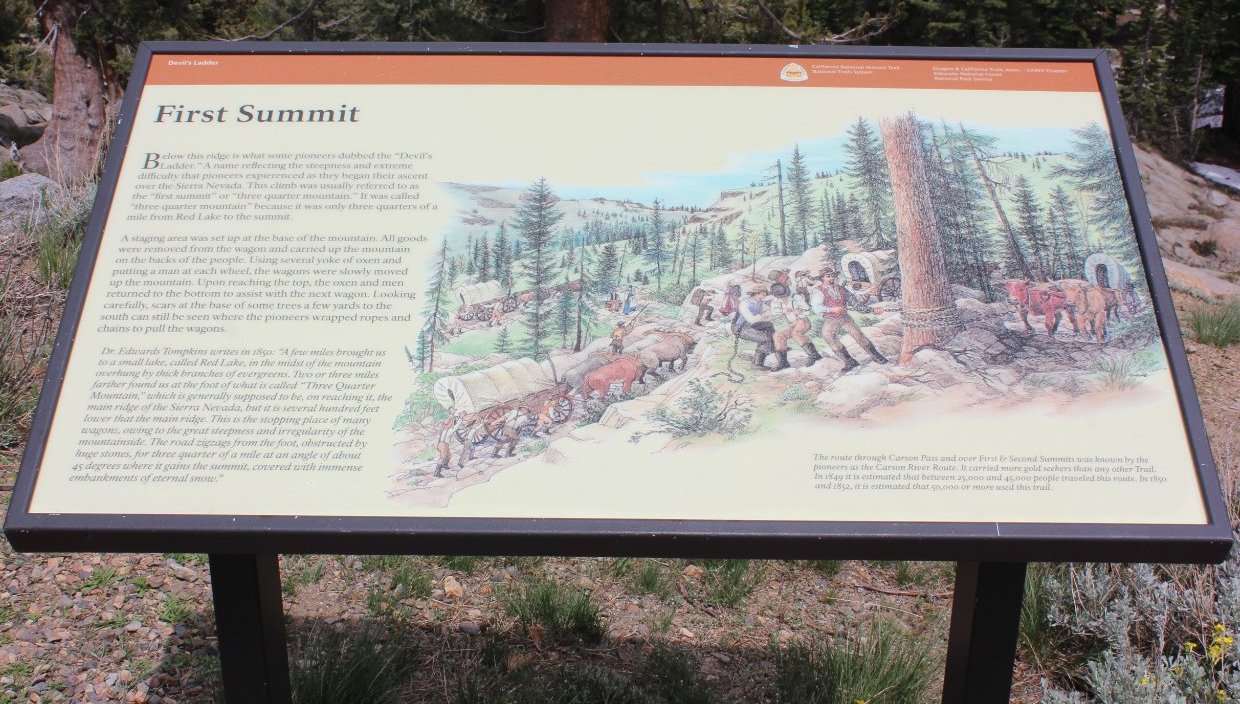
to look for an old road that heads from Red Lake all the way to the top
of this prominent point. The trail is pretty straightforward,
although it is obvious that it has not been used by vehicle traffic for
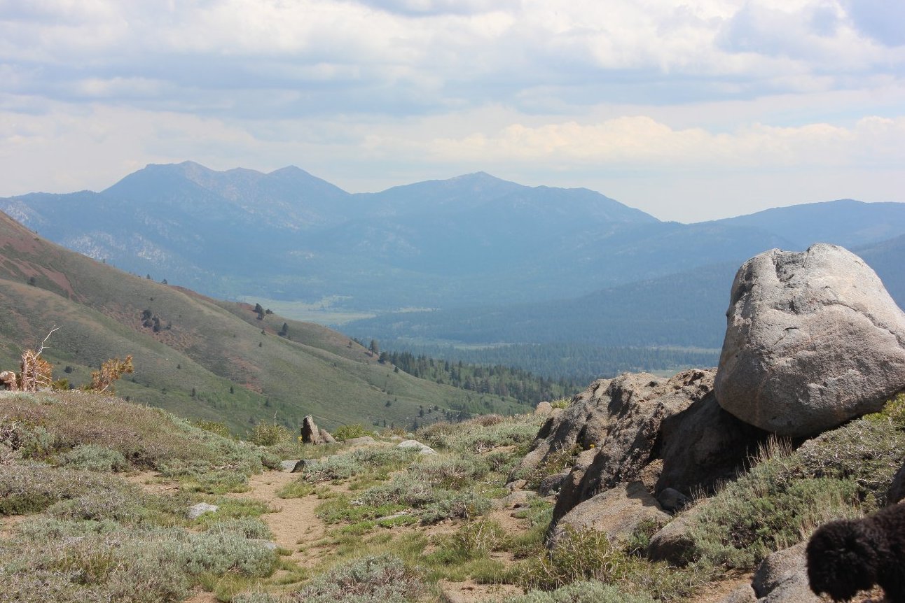
many years. The trail will head north for a bit, then turn to
the east and drop down a significant amount of elevation until you
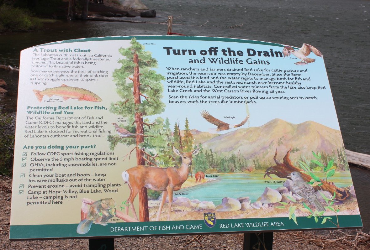
reach the low point in elevation for the day at Red Lake.
Take a moment to enjoy the view from here as you now have
almost 900 feet to gain back up the old Highway 88 route on the south
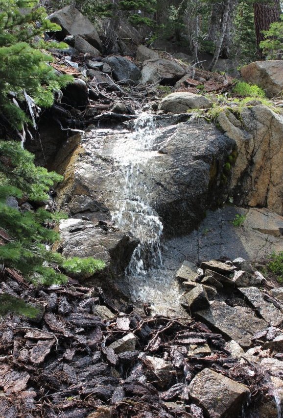
side of Red Lake. There are a number of springs that send
water across the trail, but a few of them have old culverts from back
when this was the road up to Carson Pass. You will finish by
walking through the overflow parking area for Carson Pass back to the
start. |
|||||
