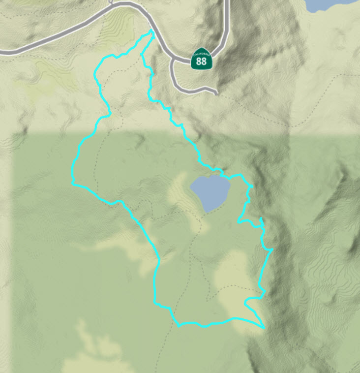
Distance: 3;2 Miles
Vertical Gain: 700'
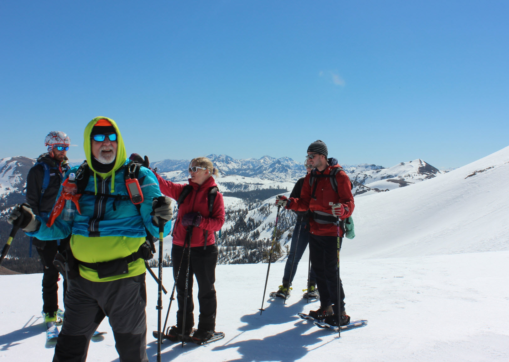
Group Size: 2
Hike Rating: Easy Moderate Hard Strenuous
 GPX
for
this trip
GPX
for
this trip 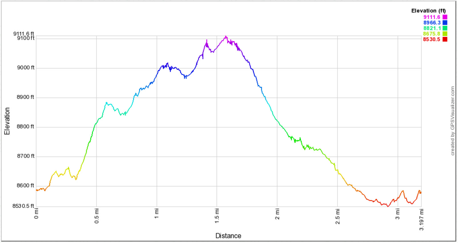
| Start Coordinates: | N 38 41.697 W 119 59.363 | End Coordinates: | Same as Start Coordinates | ||
| Car Shuttle Req'd: | No | Parking Directions: | Take
Highway 88 to the parking area at the Carson Pass ranger station on the
west side of the road. Pay the day use fee (summer only) and
find the trailhead just to the right side (north) of the ranger station
itself. |
||
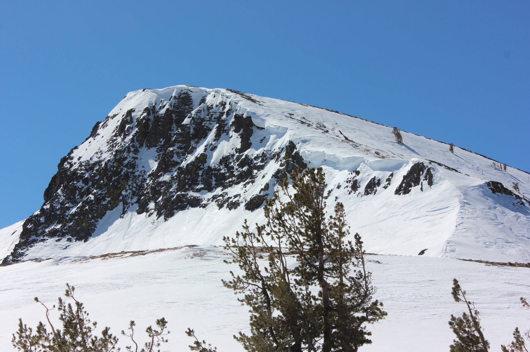
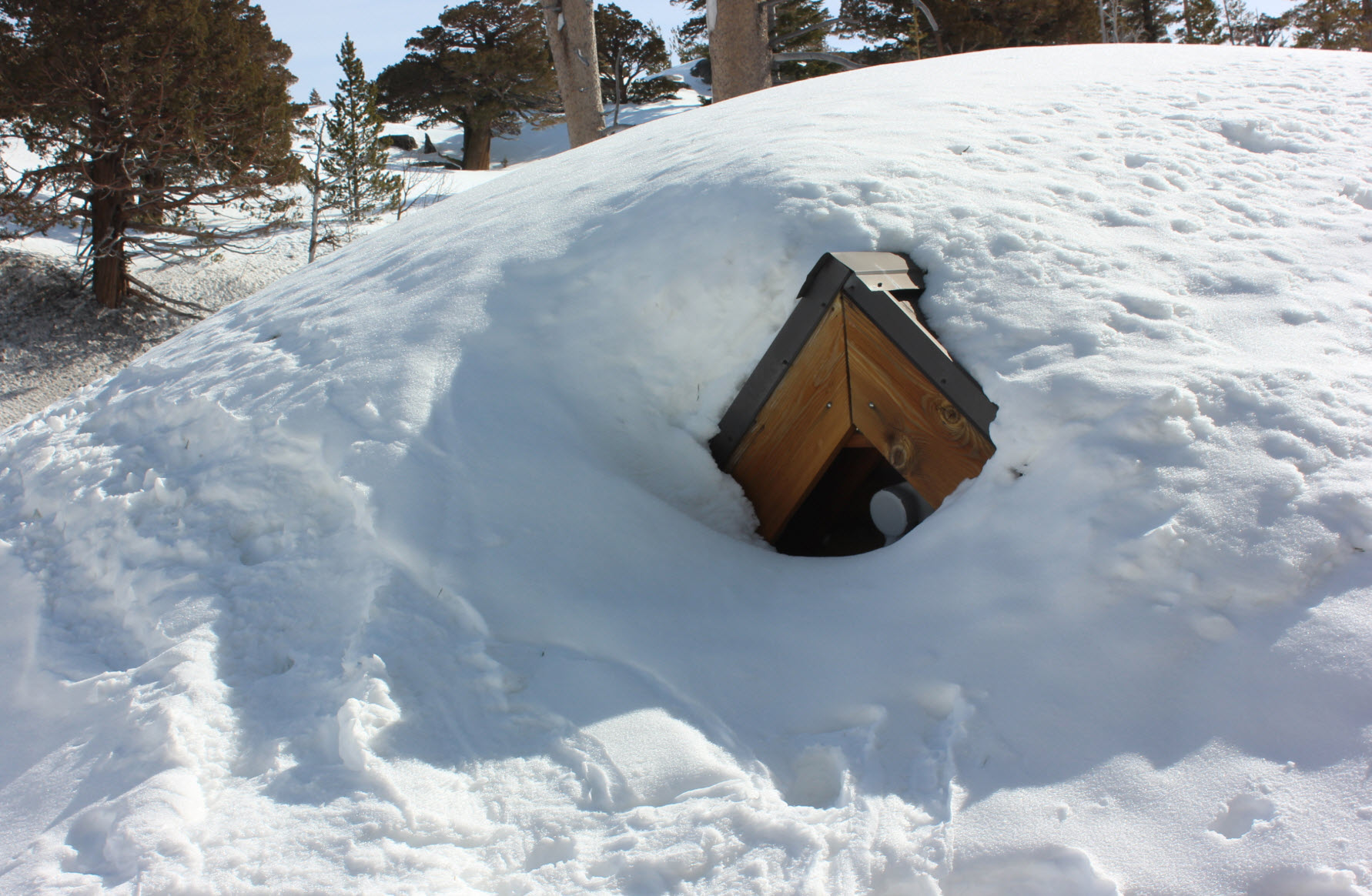
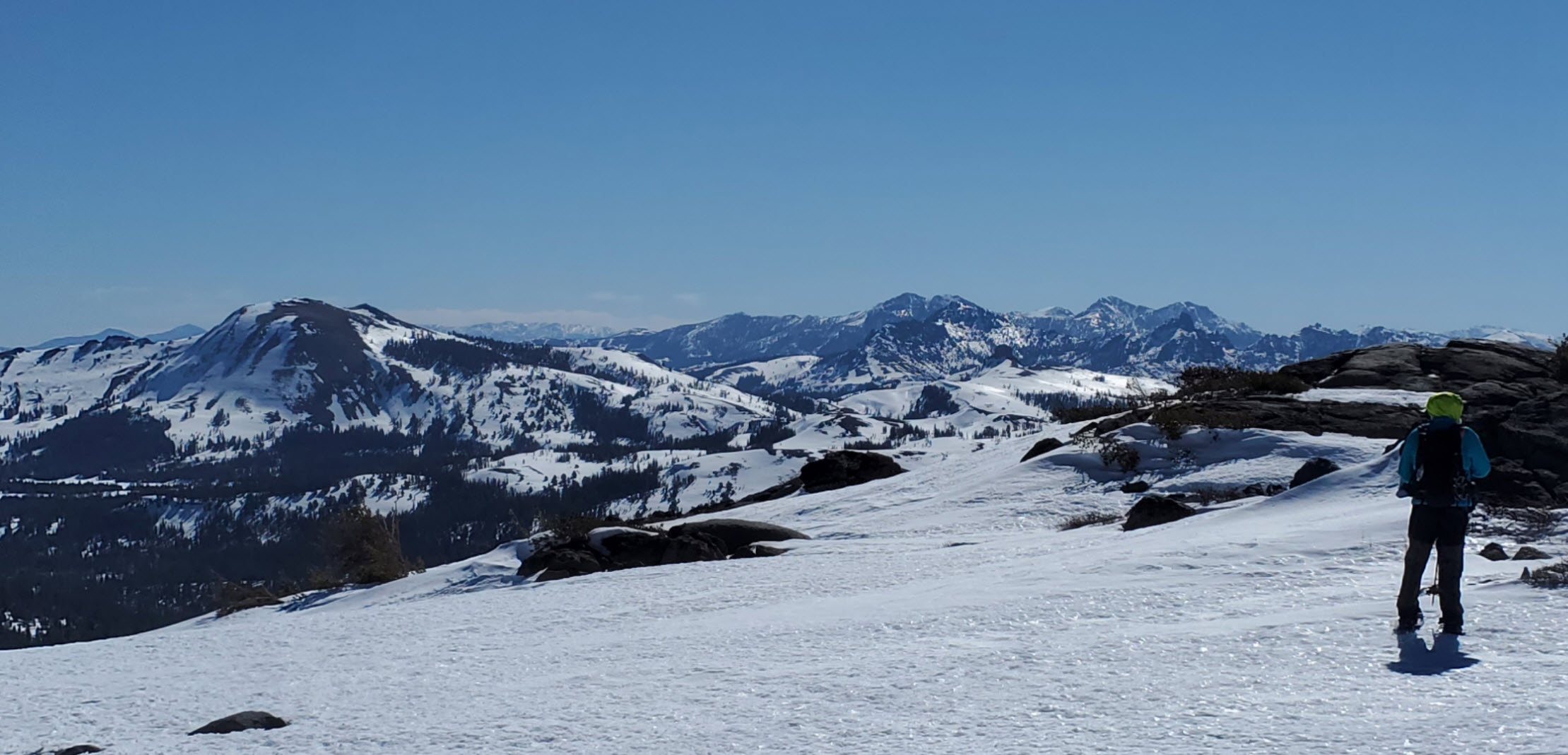
| Hazards of Note: | Be aware of very changeable weather in this area during any season. Route-finding during the winter months. Prepare for various temperatures, rain and snow. | Crowd Factor: | Moderate. Once you leave the trail early
on you will probably not run into anyone until you reach the base of
Elephant's Back mountain or once you pick up the trail from Lake
Winnemucca to Carson Pass. |
||
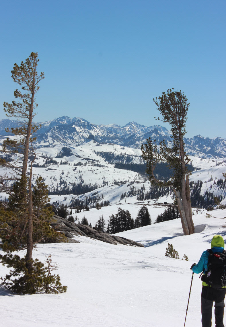
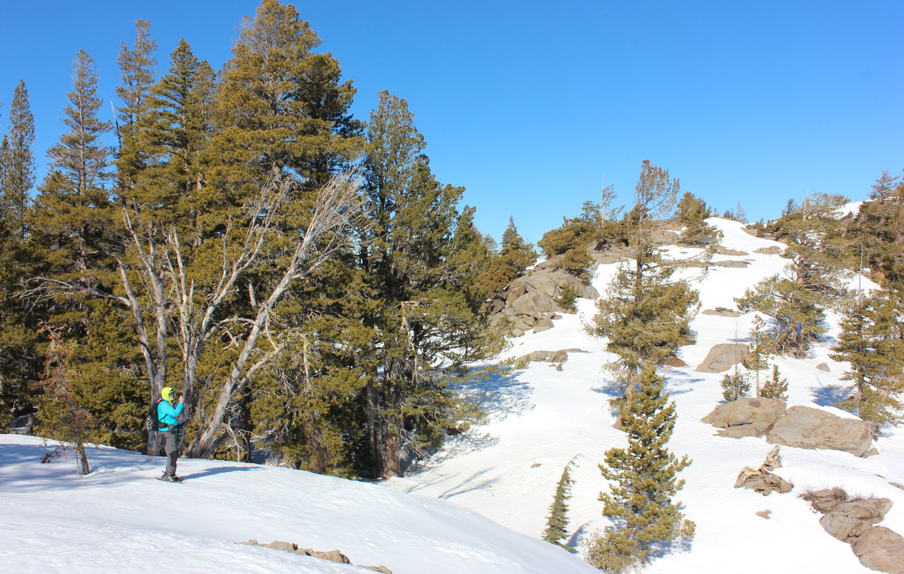
| From
the parking area on the road, head past the Carson Pass
information station building and along the along the Pacific Crest
Trail for about a quarter mile at the most. From anywhere along
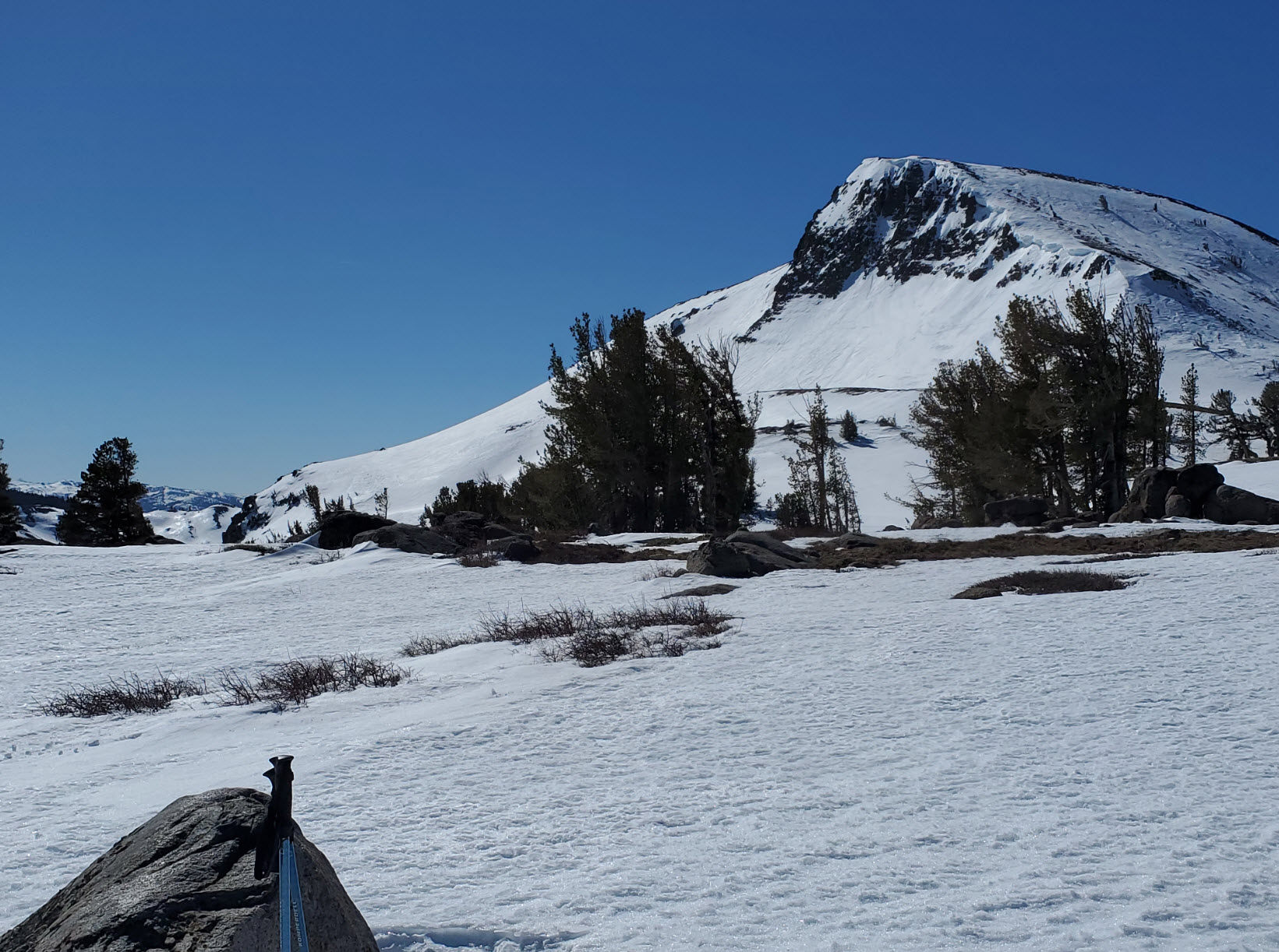
the trail here, head directly up the terrain to the southeast to gain
the ridge just to the north of Frog Lake. Some of the snow on
this day was very powdery and loose, so finding the least steep route
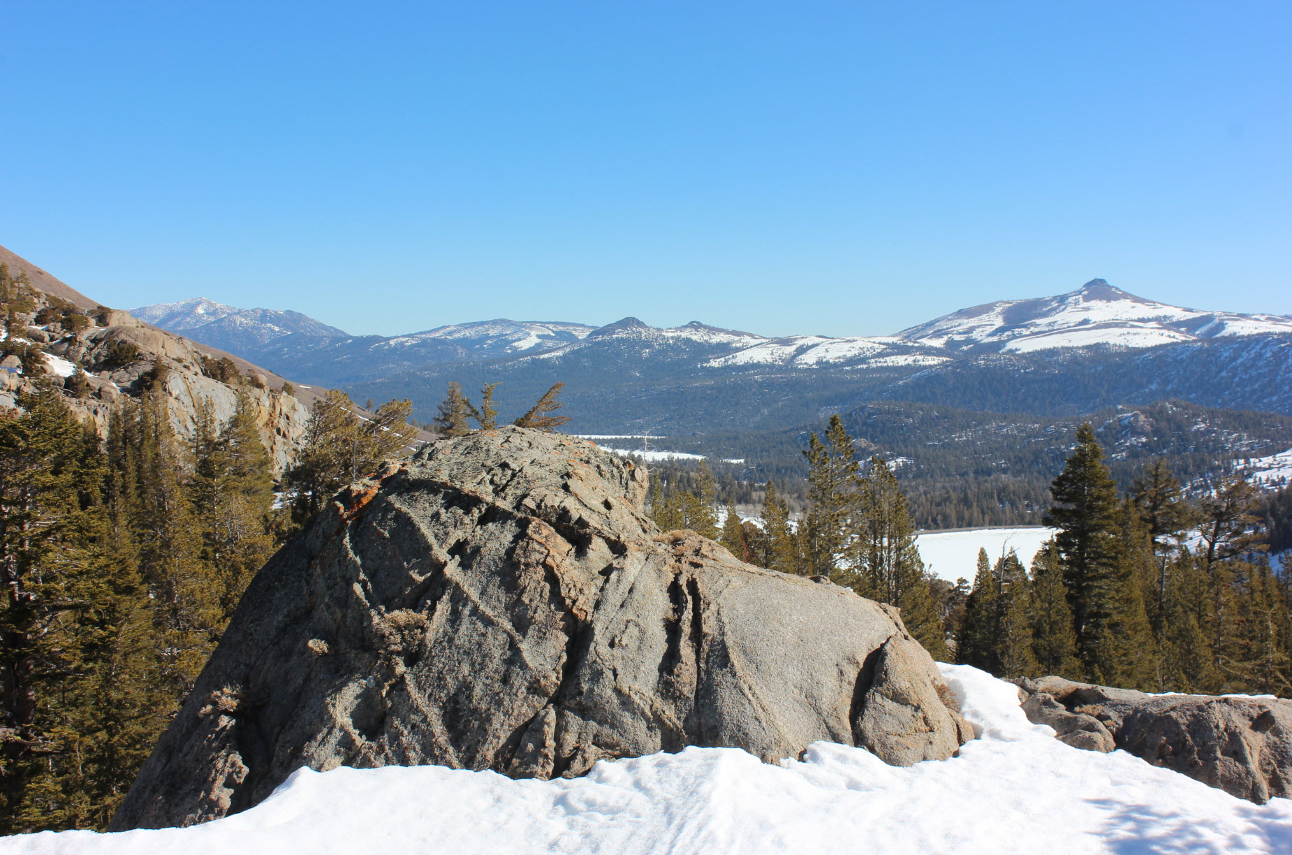
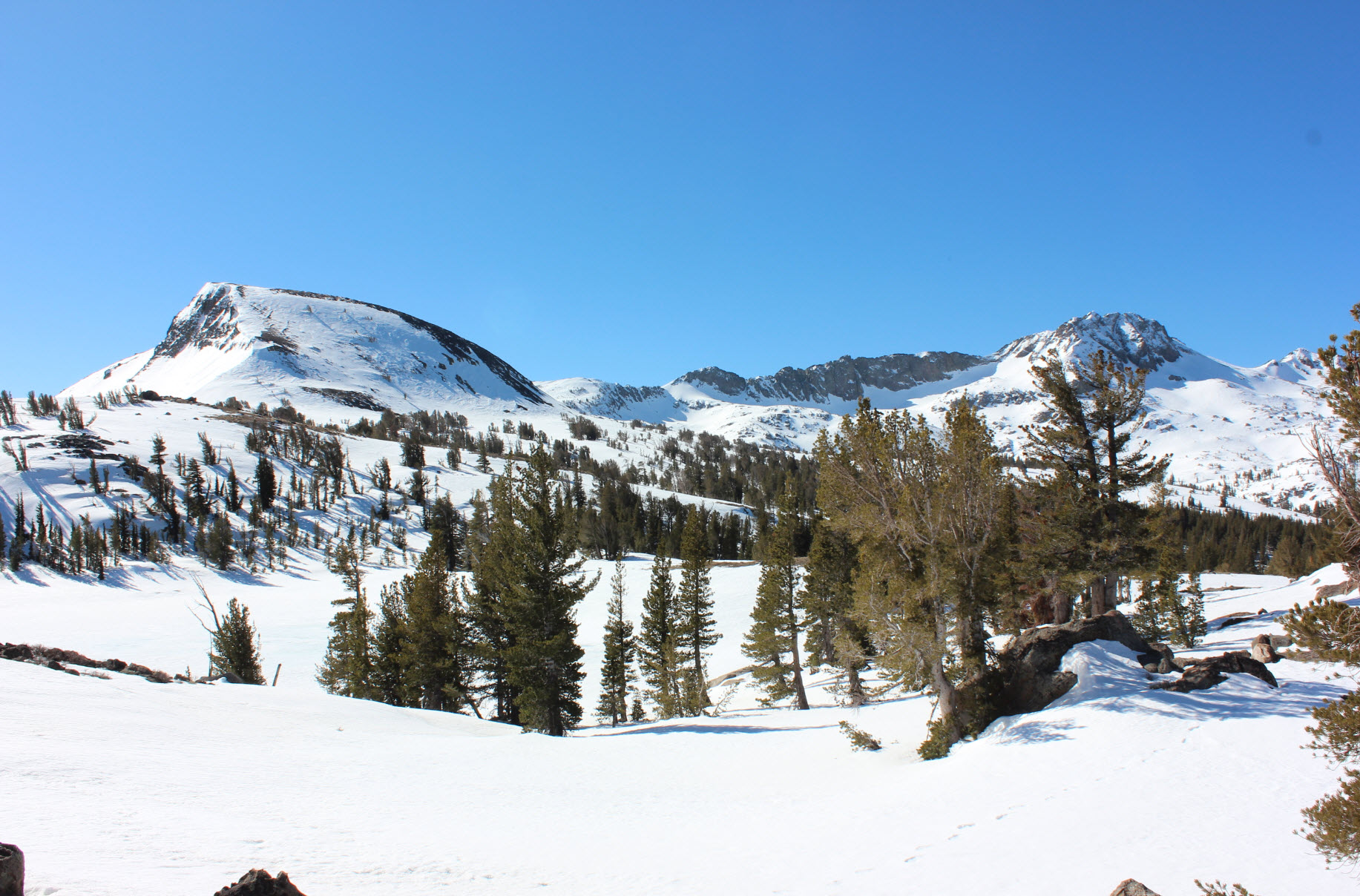
up this ridge. Once you get to the top and spot Frog Lake, head
around the eastern edge of the lake and continue to climb up the
terrain ahead of you until you reach the Pacific Crest Trail once again
as it crosses past the base of Elephant's Back mountain. From
here you will head generally northwest along the trail (if not covered
with snow) or until you reach the Lake Winnemucca Trail. Head to
the northeast along this trail to make your way back to the Carson Pass
information station and parking area. |
|||||