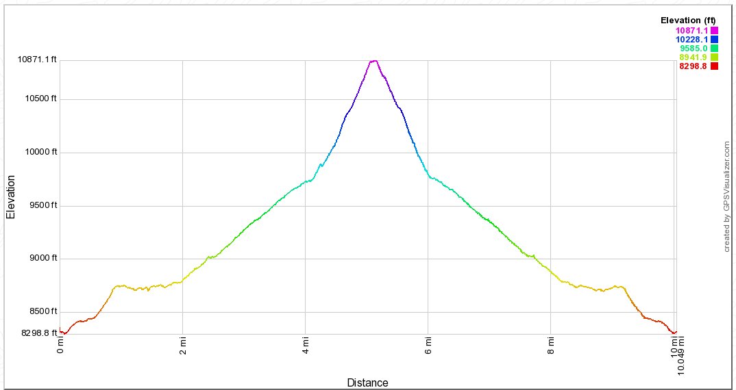
Distance: 10.5 Miles
Vertical Gain: 2600'
Group Size: 2
Hike Rating: Easy Moderate Hard Strenuous
 See
video of hike
See
video of hike
 GPX
for
this trip
GPX
for
this trip
| Start Coordinates: | N 38 49.819, W 119 54.026 | End Coordinates: | Same as Start Coordinates | ||
| Car Shuttle Req'd: | No | Parking Directions: | Take Highway 89 (Luther Pass Road) to Forest Service Road #51 on the north side of the highway. Turn onto Road #51 and follow it for 3.6 miles until you reach the parking spot. This is found just past the second bridge on the left side of the road. This is typically a high-clearance vehicle road, so prepare adequately for this access road. | ||
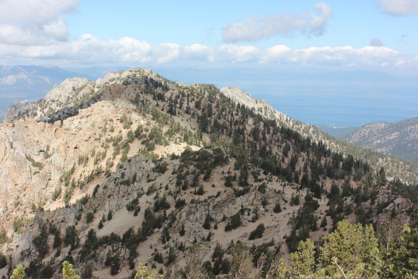
| Hazards of Note: | None. | Crowd Factor: | Moderate. The first section of this is along a popular section of the Tahoe Rim Trail (TRT) for both hikers and bikers. | ||
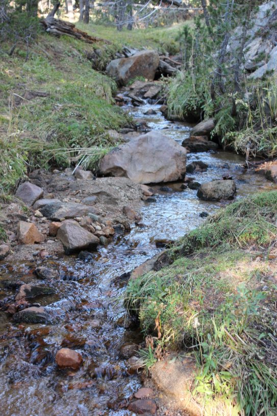
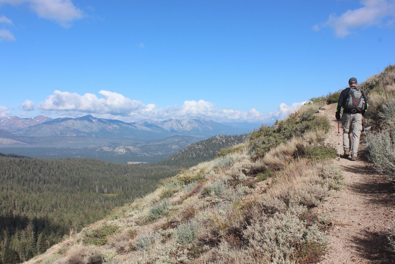
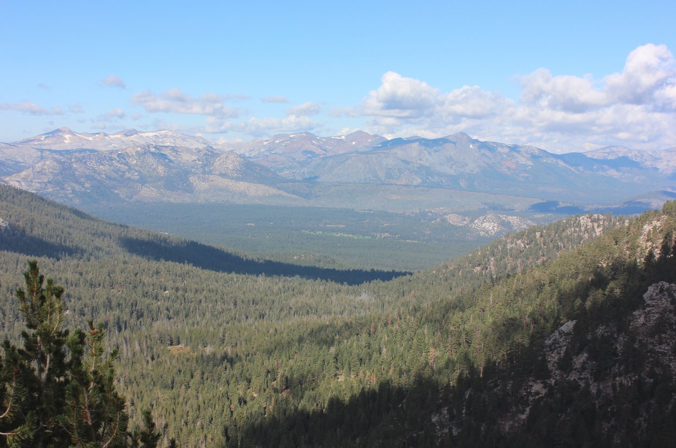
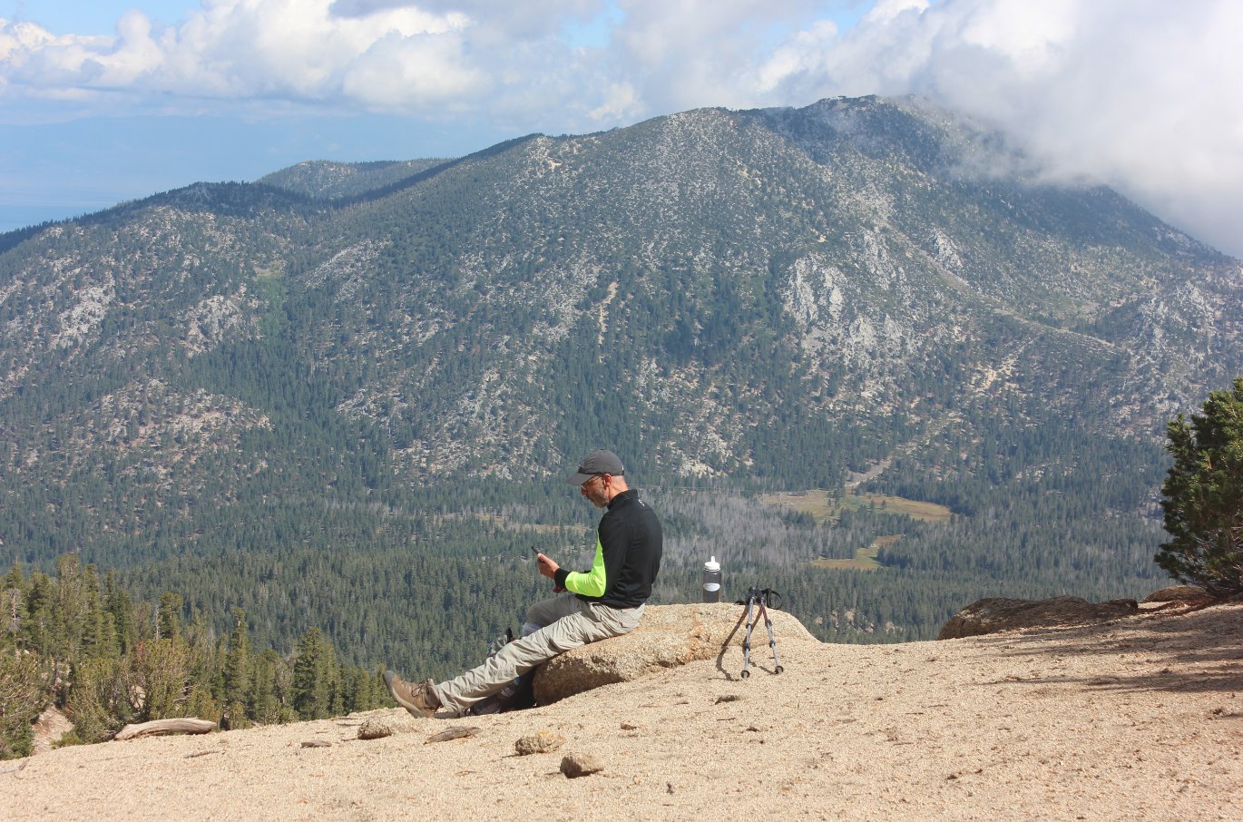
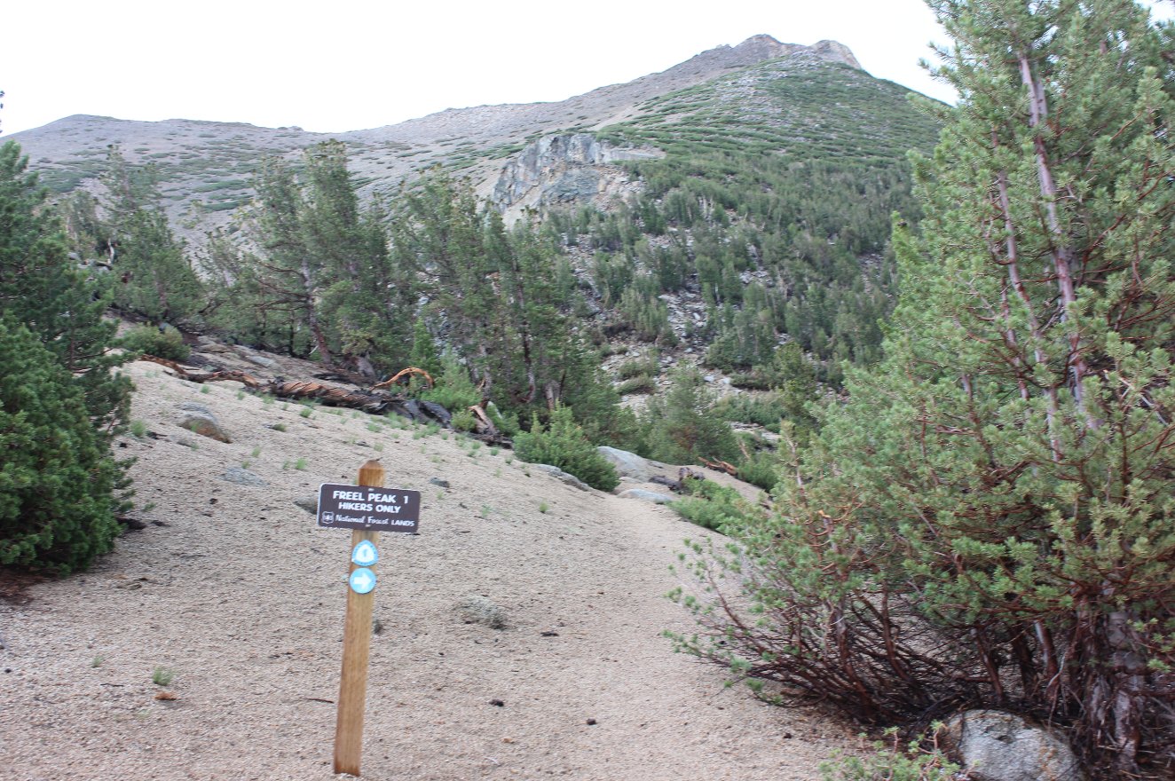
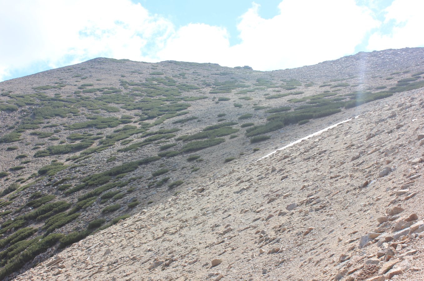
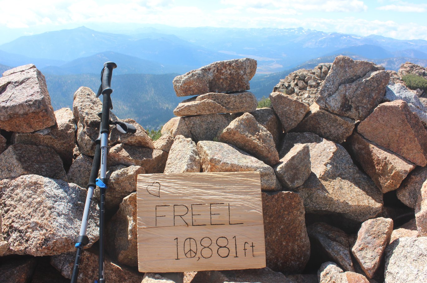
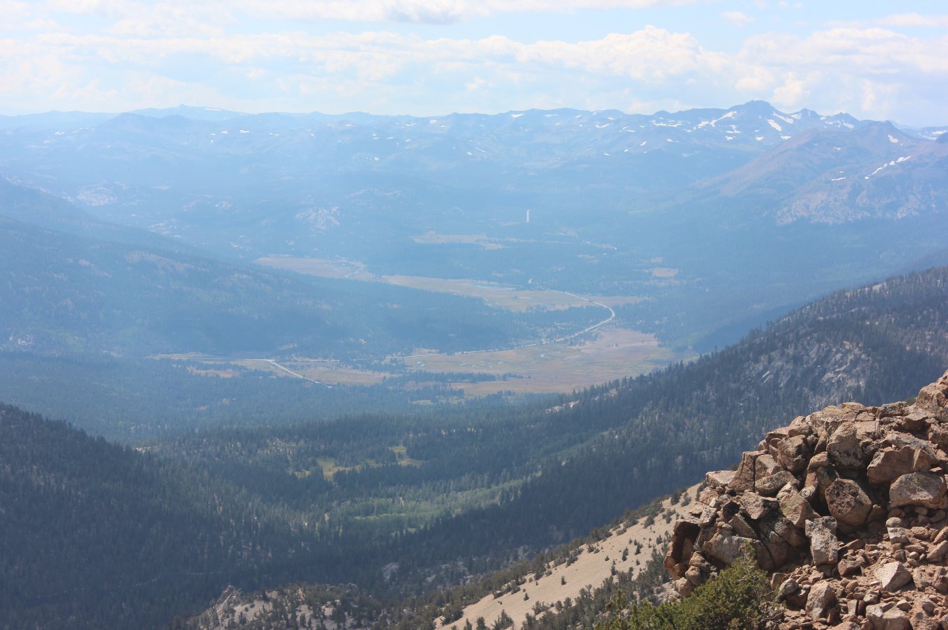
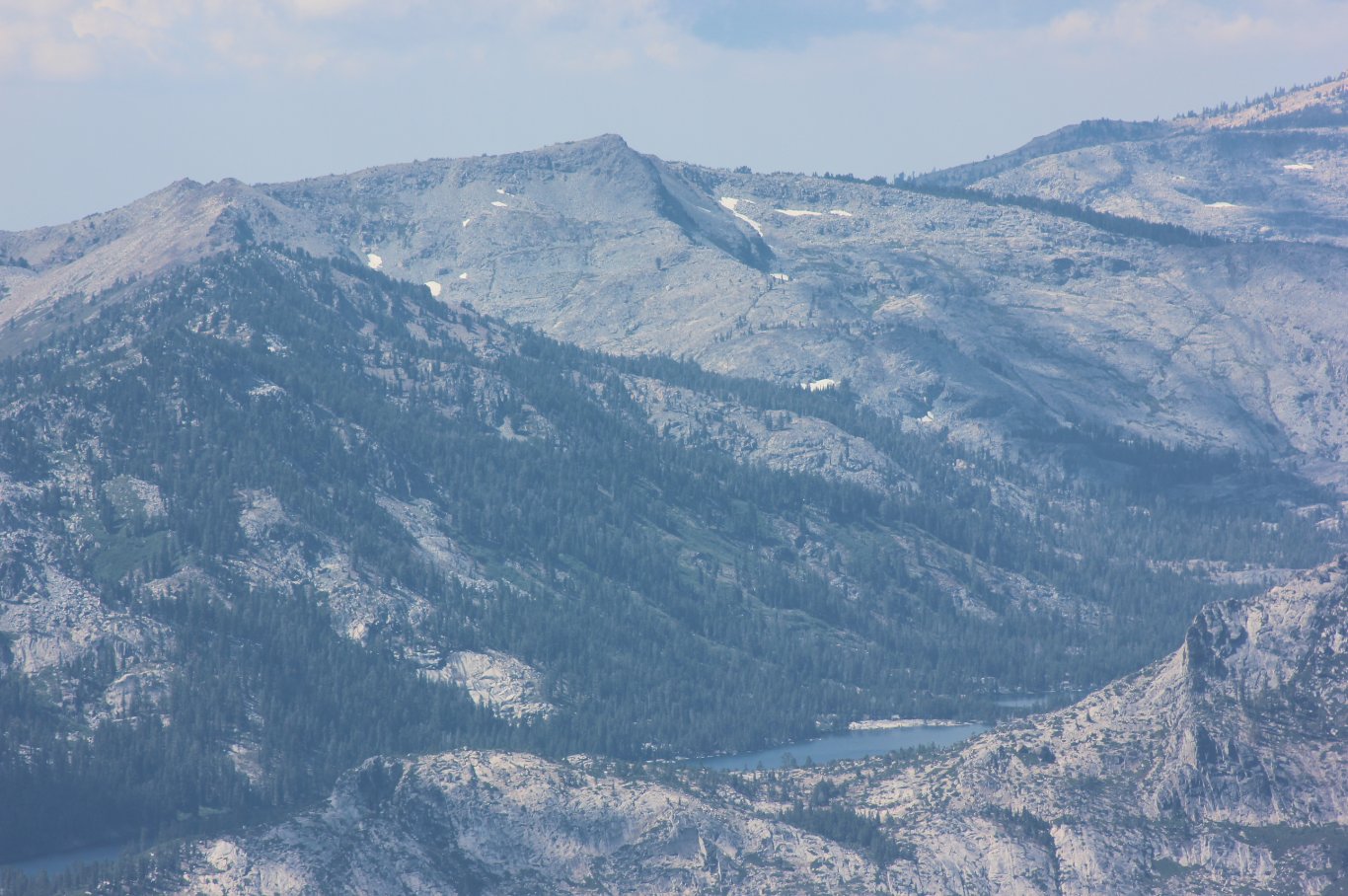
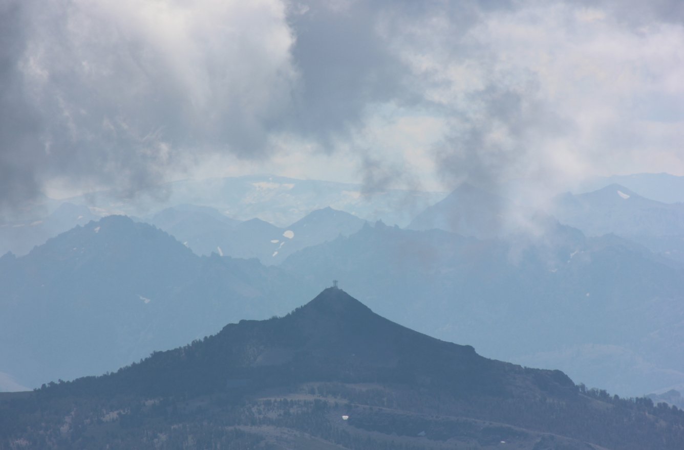
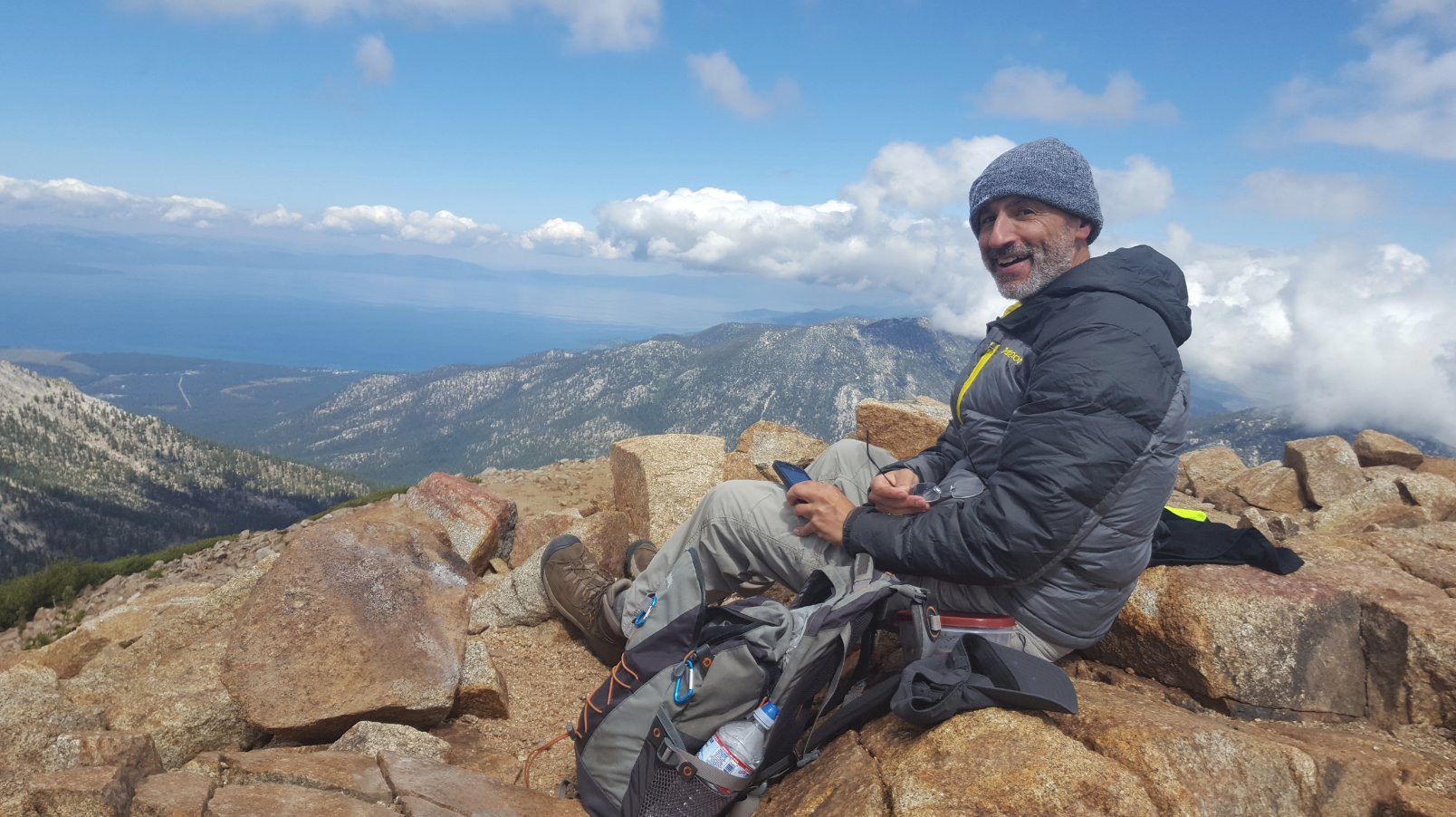
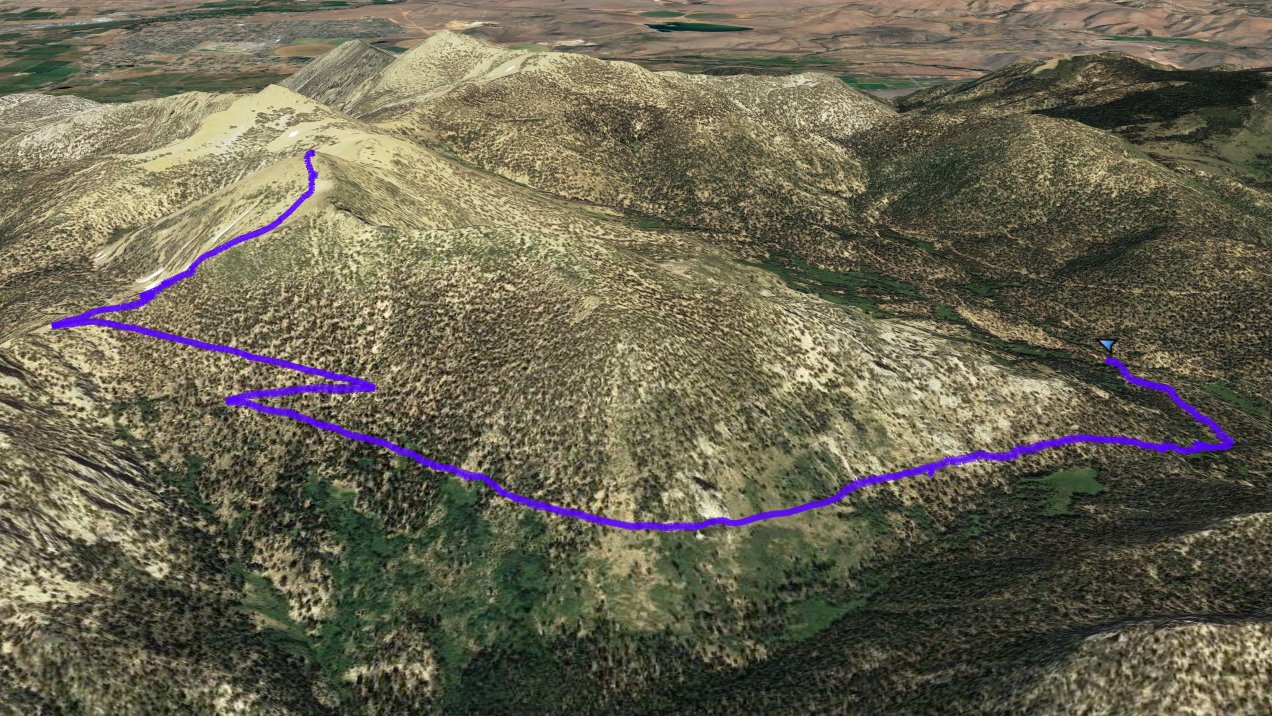
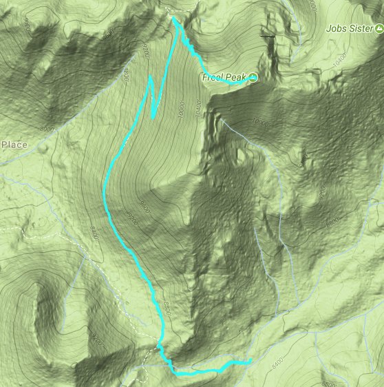
| General Notes: From the parking cross a footbridge to the west and head up the first mile until you reach a four-way junction with trails for the Tahoe Rim Trail (TRT) south, the TRT north, Fountain Place to the west and the Road 51 trail you headed up. Take the Tahoe Rim Trail north and head toward Anderson Pass and Freel Peak. About two miles further in you will find a junction for the trail up to Freel Peak, for hikers only. This last mile of the trek will have to gain over 1100 feet in elevation, until you reach the top of the peak. |
|||||