|
|
Foresthill
Ridge/Lake Clementine Hike
|
|
Trip Date: 03/17/2014
Distance: 9.2 Miles
Vertical Gain:
1100'
Group Size:
20
Hike Rating:
Easy
Moderate
Hard
Strenuous |
 GPX for
this trip
GPX for
this trip
|
|
 |
|
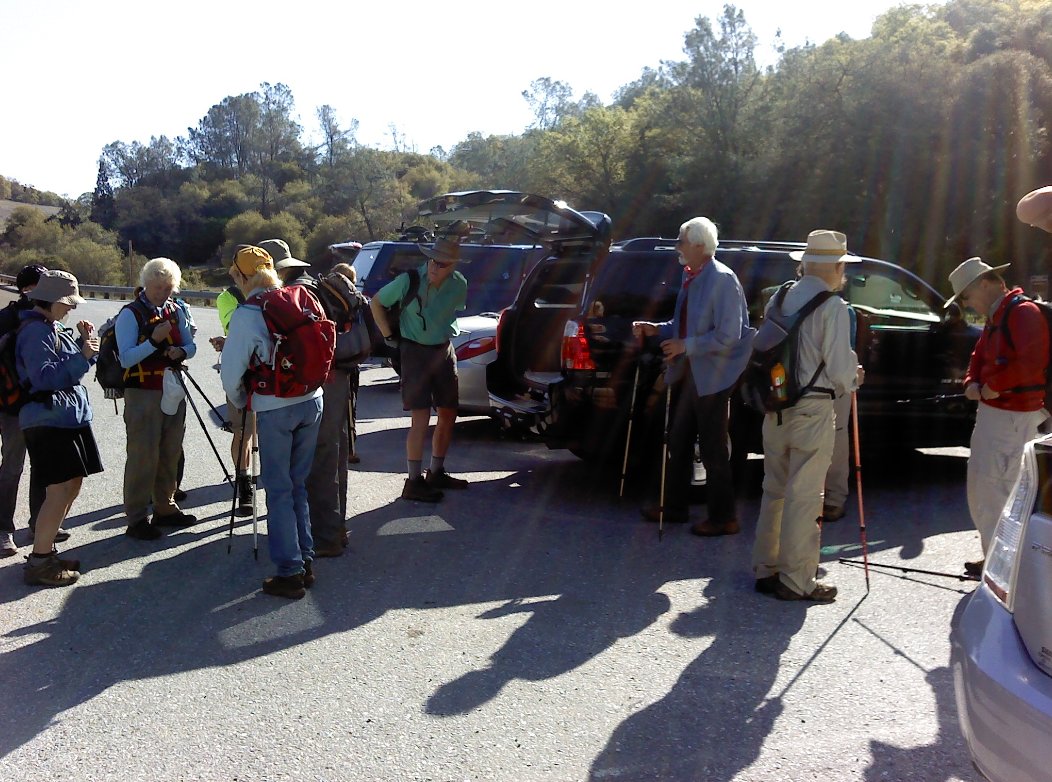
Some of the group of 20 on the
trip today ready to set out. |
 |
|
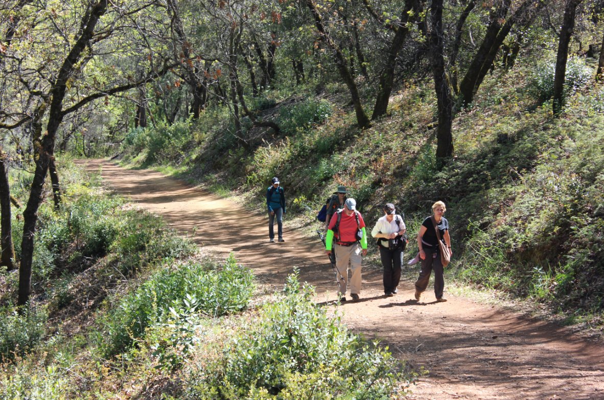
...and they're off.
Many hikers and many paces being set on the trip. |
 |
|
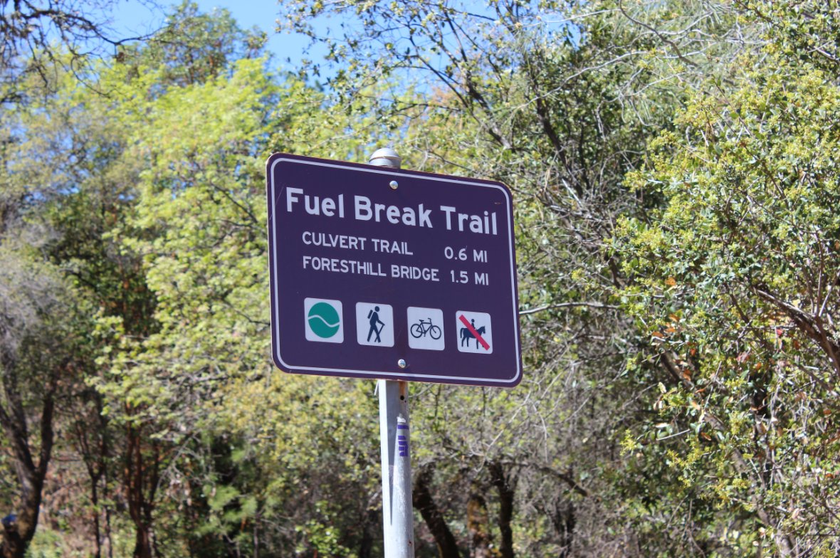
Lots of good sign information
about each of the trails at most junctions.
|
 |
|
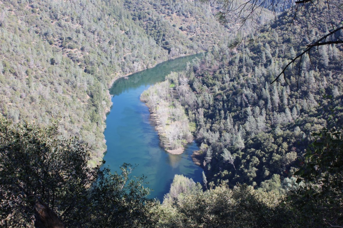
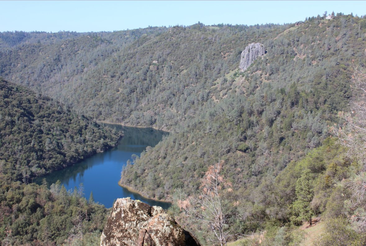
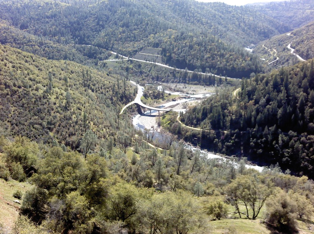
Turned around one corner and
way down there was a view of Clementine! |
 |
|
The limestone formation called
Robber's Roost on the north shore of Lake Clementine has a colorful
history from both the Native Americans and the outlaws who inhabited it
later. |

|
|
We cachers lagged behind to
make finds and then catch up to the group.
|
 |
|
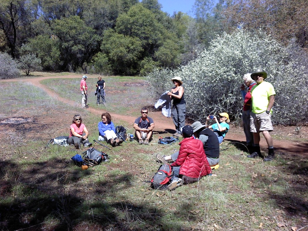
Stopping for lunch was a high
point for many in the group!
|
 |
|
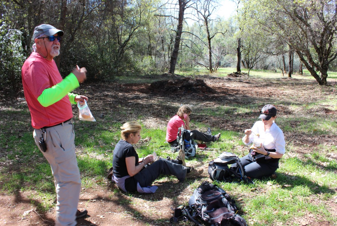
Mark, Kelly and friends
enjoying the quiet lunch break spot.
|
 |
|
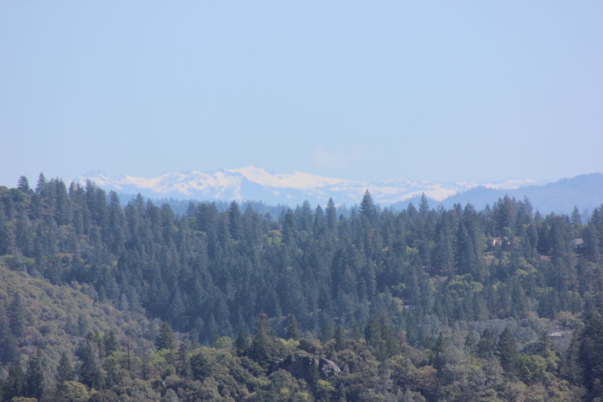
From the high spot we could
see all the way to the Carson Pass area.
|
 |
|
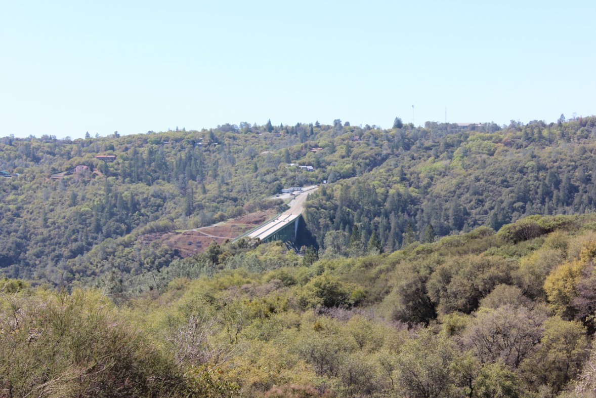
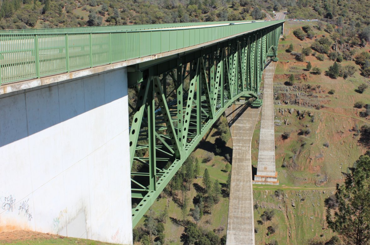
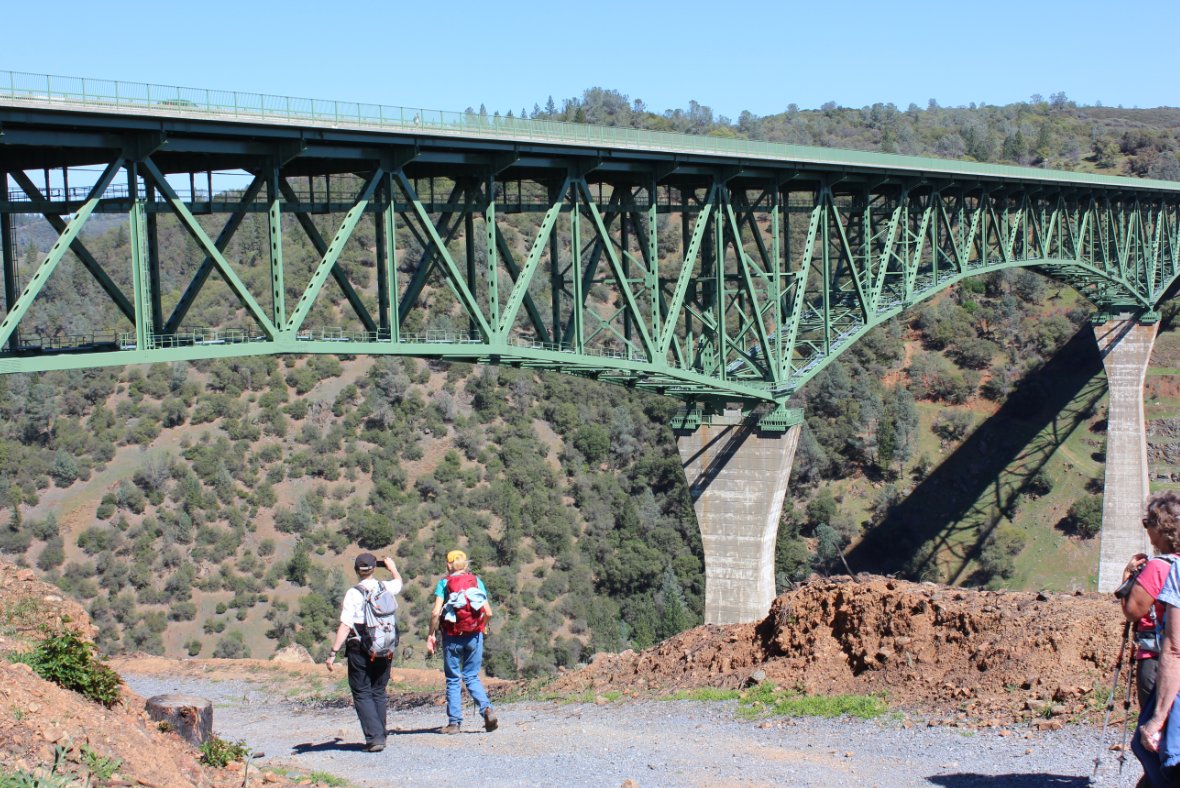
Walking
across the 730' Foresthill bridge was a (sic) highpoint of the hike.
Even for those of us who don't particular care for sudden heights.
|
 |
|
Pretty amazing views from up
here, and the fact that I released my deathgrip on the railing long
enough to get this shot.
|
 |
|
Looking back across the bridge
we just made our way over.
|
 |
|
Making our way down into the
canyon to finish up the hike.
|
 |
|
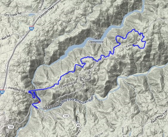
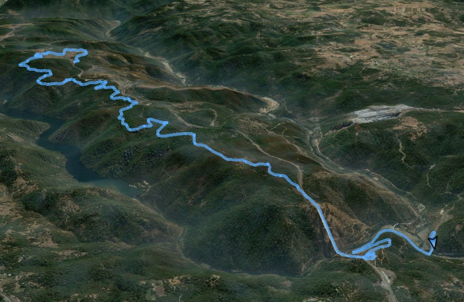
GPS Track
of the full hike. |
 |