Distance: 7.8 Miles
Vertical Gain: 1600'
Group Size: 1
Hike Rating: Easy Moderate Hard Strenuous

 GPX for
this trip
GPX for
this trip


| Foresthill
Bridge Hike |
||
| Trip Date: 01/07/2012 Distance: 7.8 Miles Vertical Gain: 1600' Group Size: 1 Hike Rating: Easy Moderate Hard Strenuous |
GPX for
this trip
|
|
|
||
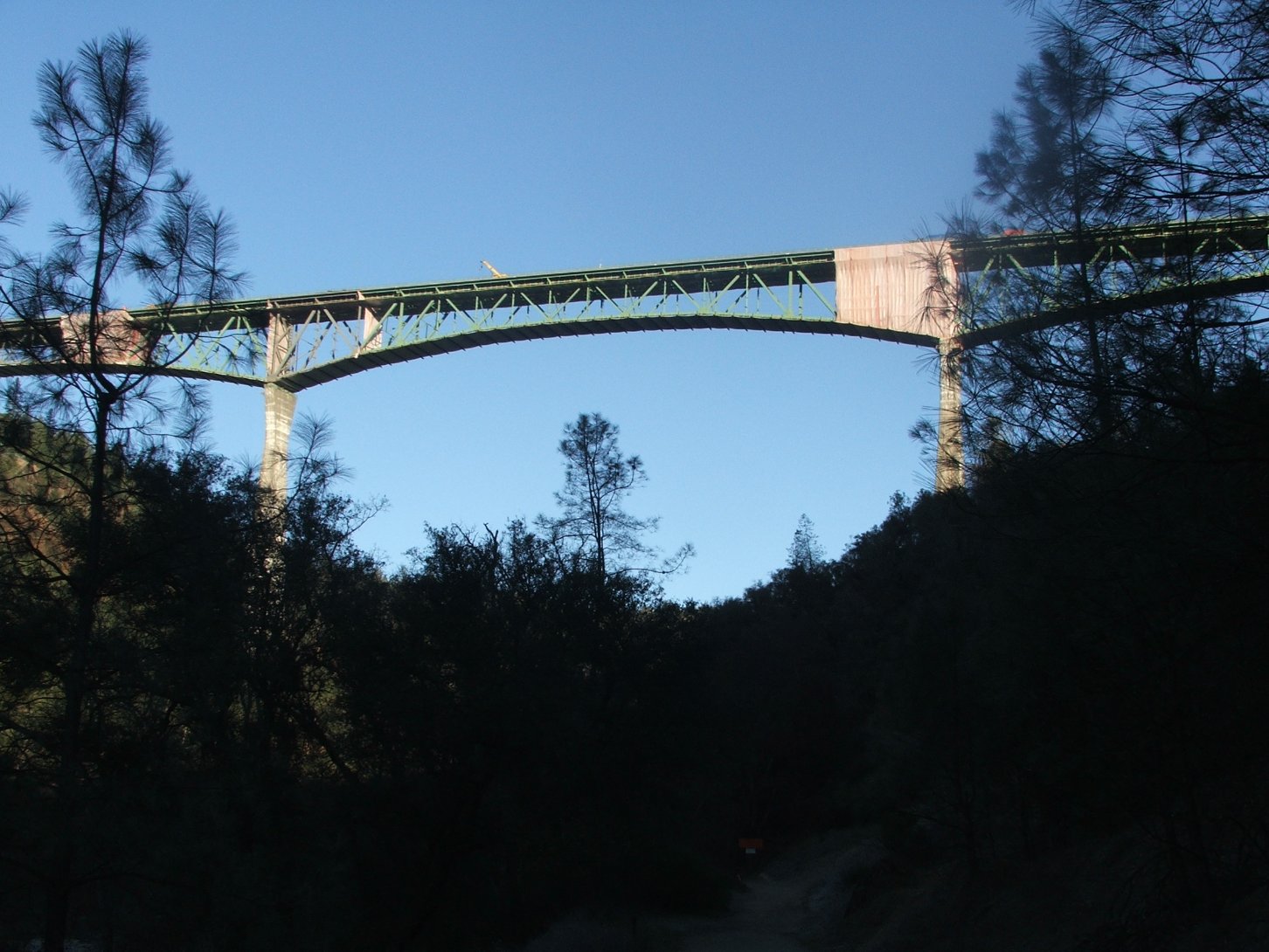
| Looking up at the Foresthill Bridge from the trailhead. | |
|
| Looking way up at the bridge
from directly underneath. |
|
|
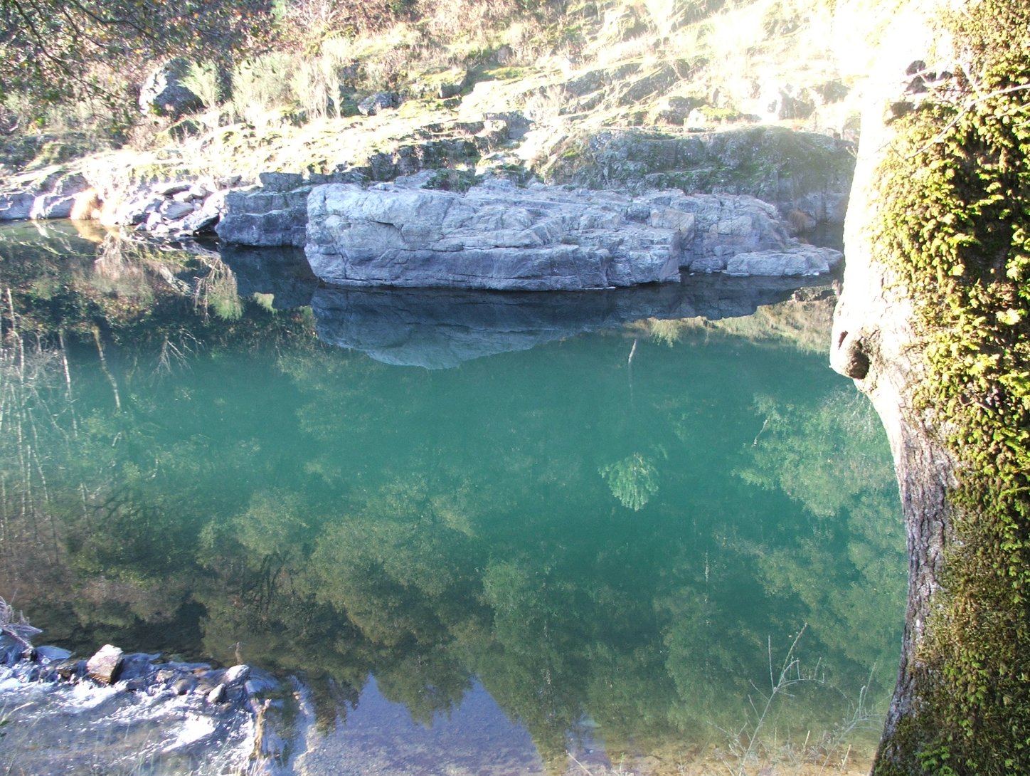
| Clark's Pool swimming hole. This was the Auburn town public swimming location at the turn of the 19th century. | |
|
| Spillway over a very full Lake Clementine along the middle fork of the American River. | |
|
| Looking east from the Lake
Clementine trail loop area. |
|
|
| The view north up the river
from the southernmost part of the hike. |
|
|
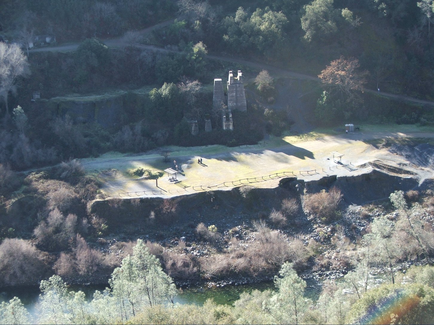
| The remnants of an old
limestone quarry along the far banks of the river. |
|
|
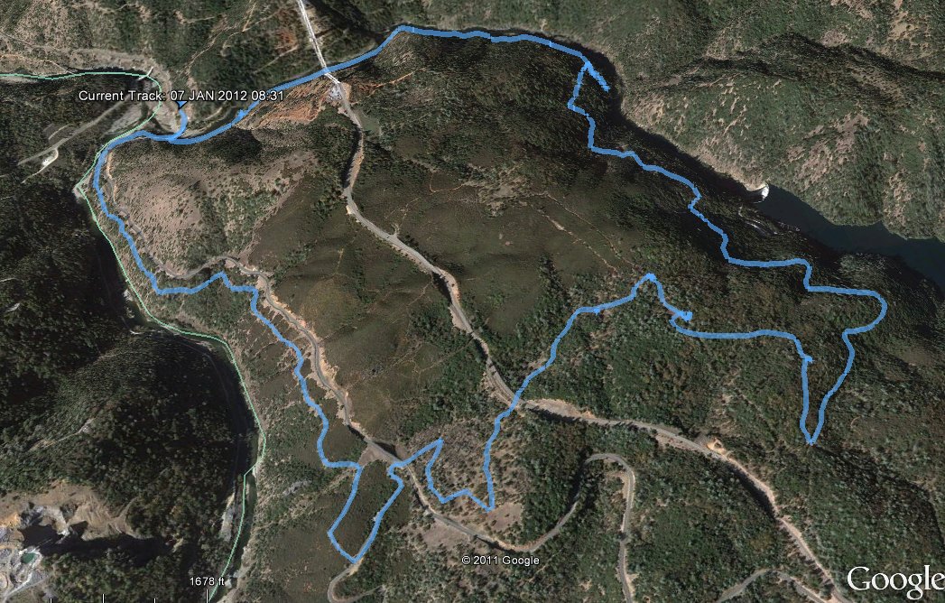
| GPS Track of the full hike. | |
|