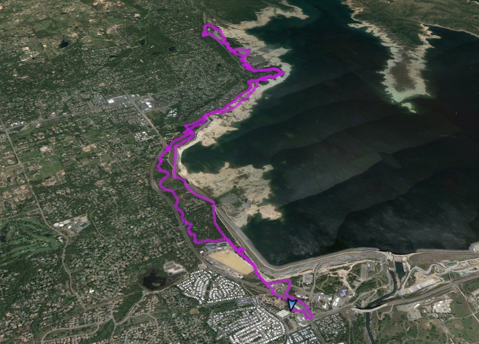
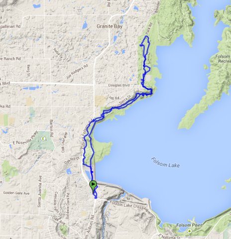
Distance: 12.4 Miles
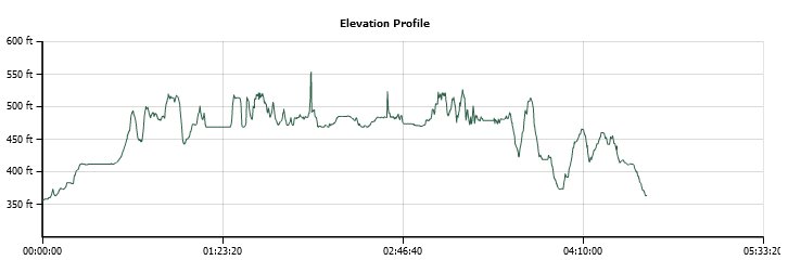
Vertical Gain: 450'
Group Size: 1
Hike Rating: Easy Moderate Hard Strenuous
 GPX
for
this trip
GPX
for
this trip
| Start Coordinates: | N 38 42.414, W 121 10.248 | End Coordinates: | Same as Start Coordinates | ||
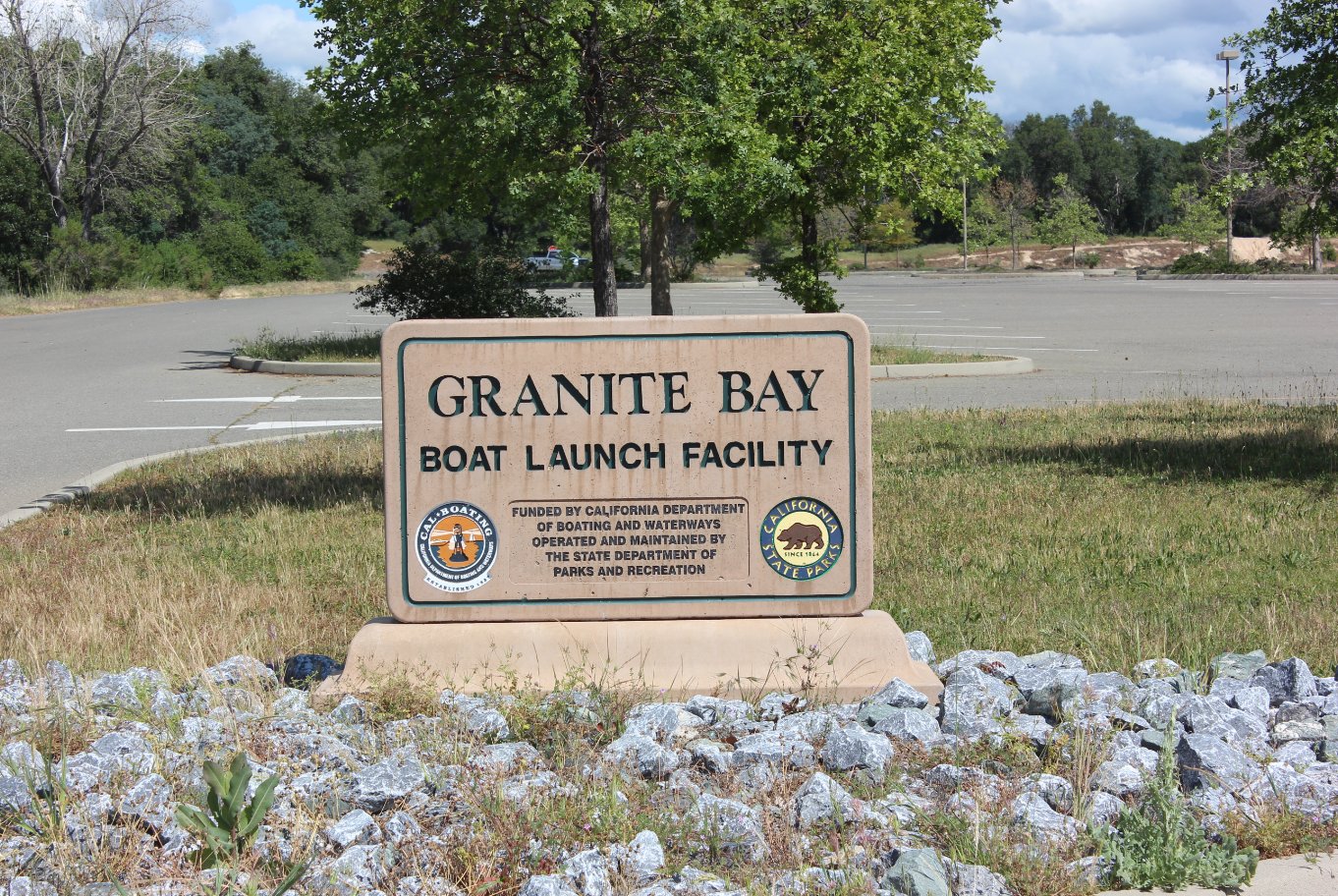
| Car Shuttle Req'd: | No | Parking Directions: | Take Folsom Lake Crossing north, or Folsom Auburn Rd north or south to the intersection of these two roads on the west side of Folsom Dam. Park in the lot behind the 7-Eleven in a location far from the businesses in the lot. | ||
| Hazards of Note: | Rattlesnakes, ticks, poison oak, mountain lions. | Crowd Factor: | Moderate to High. There are many trails in this area popular with dog-walkers, bicyclists, joggers and other hikers. Especially in the summer you will meet up with many people along this area of Folsom Lake State Park. | ||
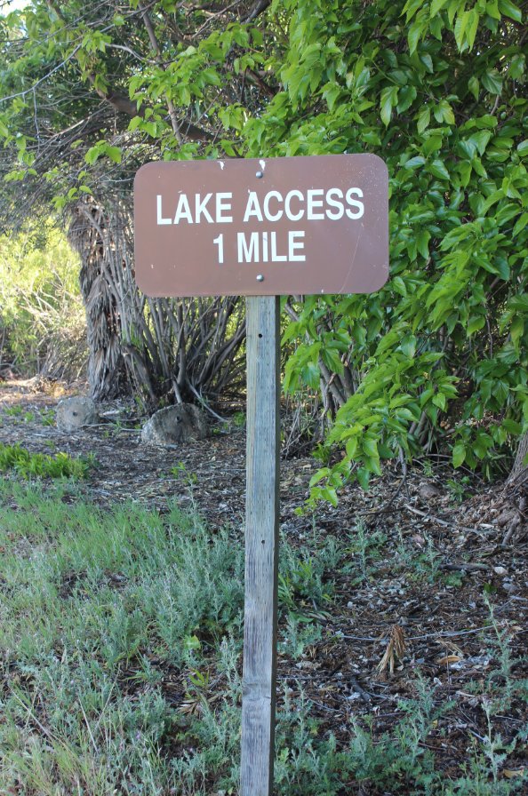
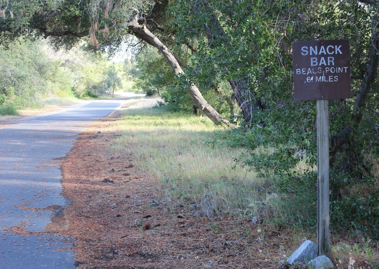
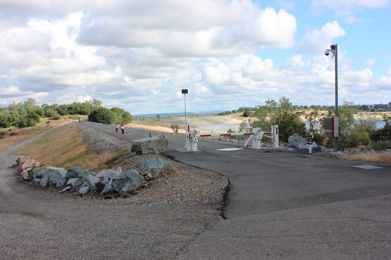
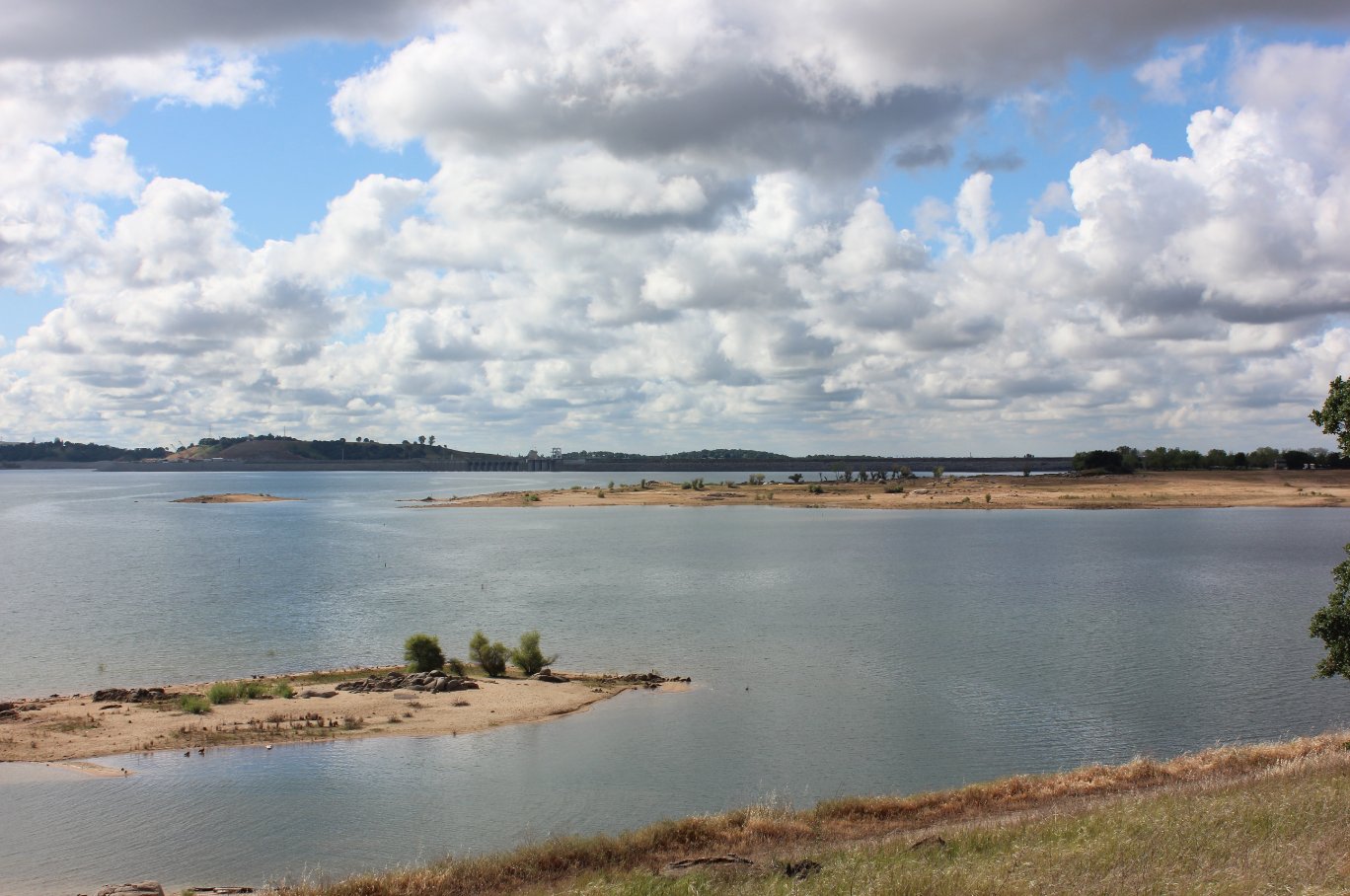
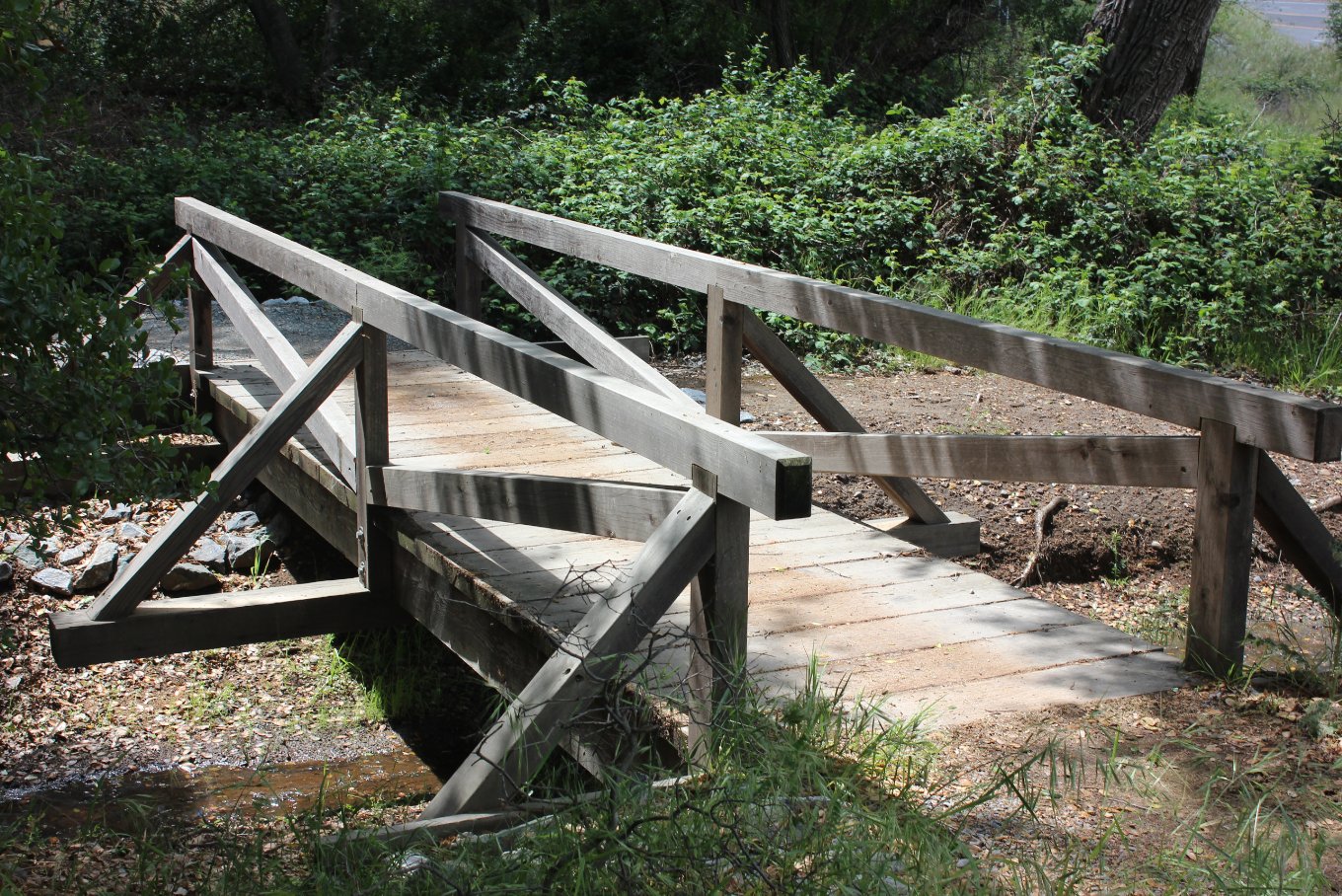
| General Notes: From the parking spot head back west to the pedestrian crosswalk at the intersection of Folsom Lake Crossing and Folsom Auburn Rd. This is the only safe way to cross to the other side to start the hike. Once there, head north, picking up the bike trail which you will follow for a little over the next mile, passing a number of Folsom Dam buildings on either side of the trail. Part of the dam will be on your right as you follow along the first section of this journey. Once you reach the Beal's Point area, you will cross a parking area and then pick up the single track trail for the old Pioneer Express trail around the west side of the lake as you head north. There are so many crossing paths in the direction that it might be hard to distinguish which one is the actual trail, but generally you will follow what mostly looks like a gravelly dirt road much of the way around this side of the lake. |
|||||